Nawigacja
Pobierz tę trasę na swój telefon komórkowy
Mapa
Oise and Vexin loop
średni
Jazda na rowerze
240,03 km
Zeskanuj kod QR i rozpocznij nawigację w aplikacji bergfex.
QR Code
Wędrówki i tropienie

Oise and Vexin loop

Odległość
240,0 km
Czas trwania
16:35 h
Ascent
894 hm
Poziom morza
23 - 187 m

Poziom trudności: 3

Ścieżka do pobrania
Mapa
Oise and Vexin loop
średni
Jazda na rowerze
240,03 km

This loop follows the Avenue Verte London-Paris route. There are indeed two variants to connect Paris and London by bike. The two combined variants then form a loop of almost 300 km. Alternating greenways...

Opis

This loop follows the Avenue Verte London-Paris route. There are indeed two variants to connect Paris and London by bike. The two combined variants then form a loop of almost 300 km. Alternating greenways and low-traffic roads, it is signposted Avenue Verte London-Paris in both directions.

A loop rich in both natural and cultural heritage, follow the guide!

From Cergy-Pontoise to Chaussy

Just outside the Cergy-Pontoise urban area, you enter the Vexin français Regional Nature Park also classified as Land of Art and History. You go up the Aubette valley crossing the village of Vigny whose castle is a marvel of Renaissance architecture. In Théméricourt, the Vexin français Regional Nature Park House is an opportunity for a break (or even a nap in the grass ;), you will find a local products shop and the Vexin français museum there. Then pass the aptly named Wy-dit-Joli-Village whose tool museum houses a forge and a Gallo-Roman spa before arriving at the Villarceaux estate, a jewel of the Île-de-France heritage with remarkable gardens.

From Chaussy to Saint-Germer-de-Fly

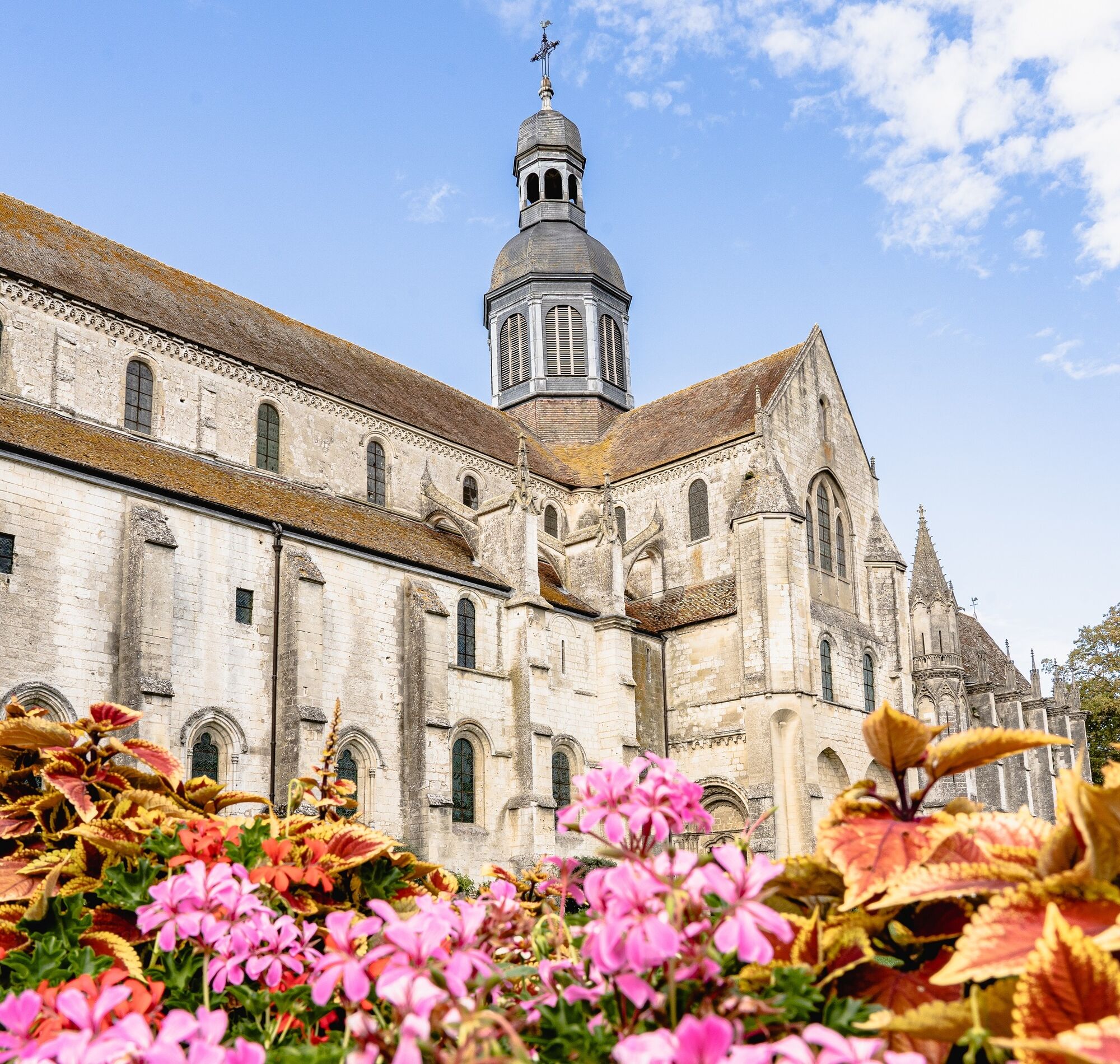
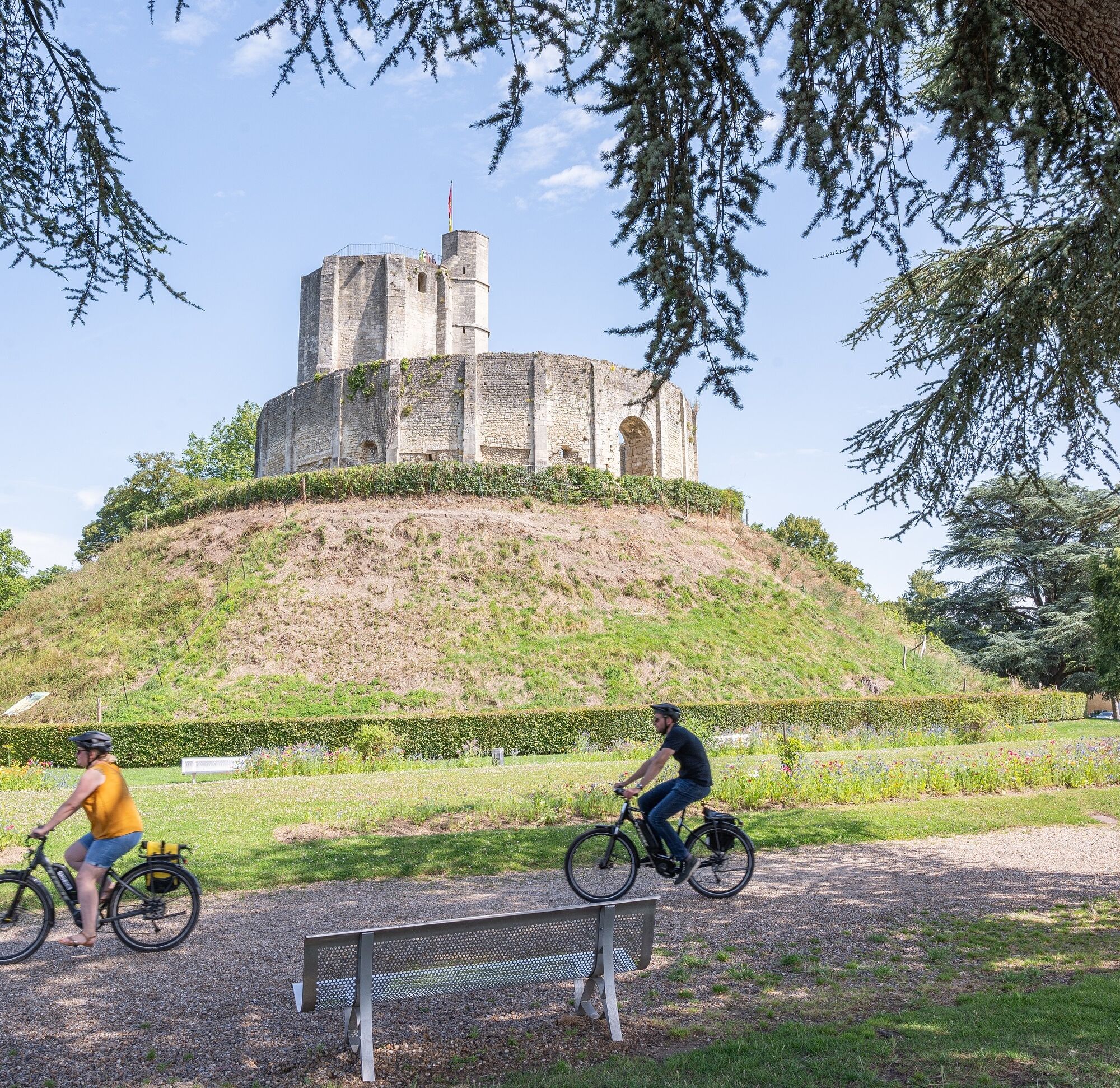
After leaving Chaussy, you join the greenway of the Epte valley at Bray-et-Lu. The Epte river is the guiding thread of this stage with a pleasant greenway set on an old railway. It winds between Eure and Val d’Oise and takes you peacefully to the town of Gisors, capital of the Norman Vexin. An old medieval town, wrapped in the mysterious legend of the Templar treasure, it has kept prestigious monuments starting with its impressive castle. Beyond Gisors, you take a pleasant hilly small road following the meanders of the Epte. Immerse yourself in the colors, landscapes or monuments that inspired many Impressionist painters, notably Pissarro. In Saint-Germer-de-Fly, don't miss the Abbey Church, former Benedictine abbey.

From Saint-Germer-de-Fly to Agnetz

It is at Saint-Germer-de-Fly that the two variants (Oise and Normandy) of the Avenue Verte London Paris converge. Leave the direction for London (that will be for another time!) to follow that of Beauvais by the greenway set on an old railway. Numerous gaps through rows of trees and shrubs reveal fields and pastures in varied colors. The route then offers varied and bucolic landscapes: ponds, beautiful farms or cottages and passes near the famous painter André Van Beek's garden. Change of scenery and serenity assured. In Beauvais, another stop is essential to discover notably the Saint-Pierre cathedral, an unfinished Gothic masterpiece. Following the Thétrain valley, the route goes through countryside that was the garden of the Bishops and Counts of Beauvais, leading you to the stunning Saint-Ouen church of Therdonne, perched above the fields, then to Bresles castle, an old royal summer residence. Crossing the Hez-Froidmont state forest allows you to reach Agnetz.

From Agnetz to Chantilly-Senlis

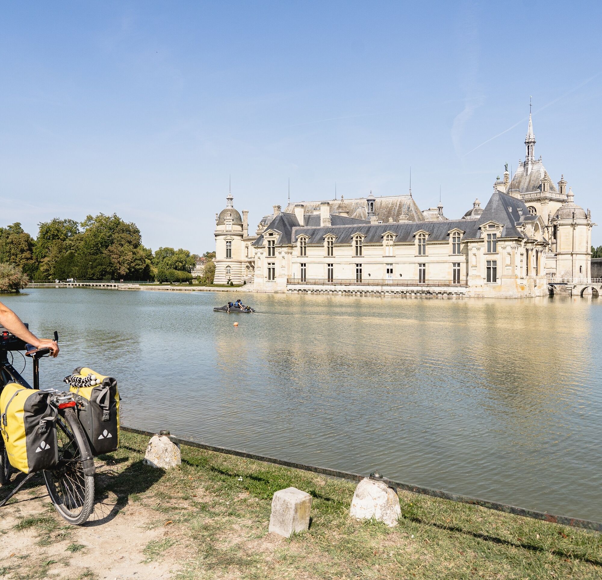
Soon after Agnetz, enjoy a stop in Clermont to discover the charms of the old town perched on its motte, before discovering a whole different environment, that of the vast wetland of the Sacy marsh (RAMSAR site). Located between the Oise valley, the Picard plateau and the rugged relief of the Clermontois, this fragile ecosystem is particularly protected. Your journey then leads you to the heart of the Oise-Pays de France Regional Nature Park, an emblematic territory of the landscape atmospheres of the south of Oise. The towns and forest massifs crossed share a heritage from French history: Royal Abbey of Moncel in Pontpoint, Gallo-Roman enclosure and Senlis Cathedral, forests of Chantilly and Halatte, Chantilly Castle, Potager des Princes... A stage particularly appreciated by history enthusiasts and nature lovers.

From Chantilly to Cergy-Pontoise

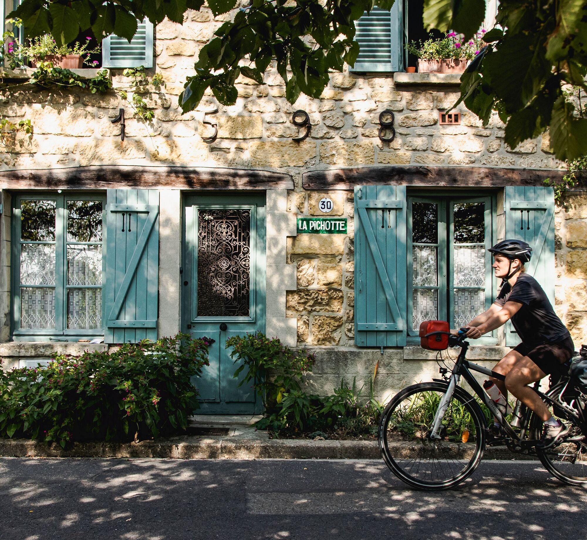
Leaving Chantilly by small roads through the Oise Pays de France Regional Nature Park, you rejoin Val d’Oise. In Asnières-sur-Oise, don't miss the timeless Royaumont Abbey. Continue your route and reach the banks of the Oise in Beaumont-sur-Oise. With its developed banks and beach, the small town of l’Isle-Adam is the perfect place for a well-deserved break. The Oise then leads you to the village of Auvers-sur-Oise, town of the Impressionists. Legendary village, Auvers-sur-Oise is indeed still marked today by the presence of Van Gogh, Cézanne, Pissarro, Daubigny... through museums, studios, monuments and landscapes.

Along the Oise, you will pass at the foot of the fortifications of Pontoise, a town of art and history before continuing your discovery of the Cergy-Pontoise urban area through the natural areas of the Bois de Cergy and the market gardening plain.

Trasa
Jouy-le-Moutier
(83 m)
Miasto
1,5 km
Église Notre-Dame
(28 m)
Miejsce kultu
39,7 km
Collégiale Saint-Pierre
(84 m)
Miejsce kultu
81,5 km
Église Saint-Ouen
(73 m)
Miejsce kultu
120,4 km
Église Saint-Gervais
(59 m)
Miejsce kultu
168,0 km
Église Notre-Dame de l'Assomption
(46 m)
Miejsce kultu
225,1 km
Pontoise
(49 m)
Miasto
231,8 km
Trasa
Mapa
Oise and Vexin loop
średni
Jazda na rowerze
240,03 km
Neuville-sur-Oise
(27 m)
Wioska
0,0 km
Le Chameau
(25 m)
Restauracja
0,0 km
La Croix Saint-Jacques
(28 m)
Korytarz/teren
0,3 km
Vincourt
(31 m)
Wioska
0,5 km
La Cote de l'Église
(35 m)
Korytarz/teren
0,6 km
Les Pointes
(55 m)
Korytarz/teren
1,3 km
Jouy-le-Moutier
(83 m)
Miasto
1,5 km
Jouy La Fontaine
(36 m)
Sąsiedztwo
1,9 km
Cité des Dames Gilles
(35 m)
Sąsiedztwo
2,4 km
Les Balleuves
(43 m)
Korytarz/teren
2,4 km
Les Carneaux
(38 m)
Sąsiedztwo
2,6 km
Le Village
(38 m)
Sąsiedztwo
3,6 km
Vauréal
(100 m)
Miasto
3,7 km
Les Bardoulais
(54 m)
Korytarz/teren
4,0 km
Les Marais
(50 m)
Korytarz/teren
4,0 km
Les Bosquets
(84 m)
Sąsiedztwo
4,2 km
La Ravinière
(83 m)
Sąsiedztwo
4,2 km
Les Bardoulais
(74 m)
Sąsiedztwo
4,4 km
La Vallée Monrois
(82 m)
Sąsiedztwo
4,6 km
Cergy
(94 m)
Miasto
4,6 km
Les Essarts
(101 m)
Sąsiedztwo
5,0 km
Le Hazay
(102 m)
Sąsiedztwo
5,4 km
La Pointe du Hazay
(115 m)
Sąsiedztwo
6,0 km
Cergy le Haut
(110 m)
Sąsiedztwo
6,3 km
Le Bois d'Aton
(136 m)
Korytarz/teren
7,1 km
La Saussaye
(132 m)
Korytarz/teren
7,4 km
Sous Le Bois d'Aton
(130 m)
Korytarz/teren
7,8 km
Courdimanche
(151 m)
Wioska
7,9 km
Saillancourt
(71 m)
Rozliczenie
9,8 km
La Couture de Sagy
(51 m)
Korytarz/teren
11,3 km
Sagy
(51 m)
Wioska
11,8 km
Le Village
(46 m)
Sąsiedztwo
11,9 km
Le Fond des Cailloux
(48 m)
Korytarz/teren
12,3 km
Les Petits Prés
(57 m)
Korytarz/teren
13,4 km
Le Village
(55 m)
Sąsiedztwo
13,7 km
Longuesse
(60 m)
Wioska
13,8 km
Sous Les Roches et La Rout
(66 m)
Korytarz/teren
14,3 km
Le Bout de la Ville
(68 m)
Korytarz/teren
15,9 km
Vigny
(70 m)
Wioska
16,0 km
Le Bourbier
(78 m)
Sąsiedztwo
16,2 km
Les Clos
(80 m)
Sąsiedztwo
16,2 km
Théméricourt
(79 m)
Wioska
18,4 km
Avernes
(89 m)
Wioska
20,5 km
Wy-dit-Joli-Village
(122 m)
Wioska
23,6 km
Arthies
(170 m)
Wioska
27,2 km
Maudétour-en-Vexin
(168 m)
Wioska
28,3 km
Église Notre-Dame-de-l'Assomption
(170 m)
Miejsce kultu
28,6 km
Chaussy
(77 m)
Wioska
35,8 km
Église Saint-Crépin et Saint-Crépinien
(77 m)
Miejsce kultu
35,9 km
Boucagny
(62 m)
Rozliczenie
37,2 km
Bray-et-Lû
(28 m)
Wioska
39,6 km
Les Jardins d'Épicure
(27 m)
Restauracja
39,7 km
Église Notre-Dame
(28 m)
Miejsce kultu
39,7 km
Le Petit Baudemont
(28 m)
Rozliczenie
40,3 km
Saint-Rémy
(35 m)
Rozliczenie
41,3 km
Berthenonville
(45 m)
Wioska
45,2 km
Château-sur-Epte
(71 m)
Wioska
46,3 km
Jes Bordeaux de Saint-Clair
(40 m)
Rozliczenie
47,5 km
Guerny
(45 m)
Wioska
49,7 km
Gisancourt
(40 m)
Rozliczenie
50,8 km
Le Moulin de la Chaussée
(44 m)
Rozliczenie
52,4 km
Les Champs
(44 m)
Rozliczenie
52,6 km
Gisors
(51 m)
Miasto
60,4 km
Église Saint-Denis
(75 m)
Miejsce kultu
64,6 km
Bazincourt-sur-Epte
(70 m)
Wioska
64,7 km
Thierceville
(72 m)
Rozliczenie
67,1 km
Amécourt
(149 m)
Wioska
73,2 km
Les Flamants
(178 m)
Rozliczenie
79,2 km
À l'Époque
(87 m)
Restauracja
81,2 km
Neuf-Marché
(85 m)
Wioska
81,3 km
Collégiale Saint-Pierre
(84 m)
Miejsce kultu
81,5 km
Montel
(85 m)
Sąsiedztwo
82,2 km
Église Saint-Pierre
(105 m)
Miejsce kultu
83,1 km
Saint-Pierre-es-Champs
(104 m)
Wioska
83,1 km
Saint-Germer-de-Fly
(103 m)
Wioska
88,3 km
Abbatiale de Saint-Germer-de-Fly
(105 m)
Miejsce kultu
88,9 km
Auberge de l'Abbaye
(107 m)
Restauracja
88,9 km
Sainte Chapelle
(106 m)
Miejsce kultu
89,0 km
L'Escapade
(101 m)
Restauracja
90,2 km
Guillenfosse
(113 m)
Rozliczenie
92,4 km
La Haute-Rue
(100 m)
Rozliczenie
96,2 km
Pizzeria Il Pozzo
(89 m)
Restauracja
98,7 km
Lachapelle-aux-Pots
(94 m)
Wioska
98,8 km
Les Rouges Eaux
(78 m)
Korytarz/teren
104,6 km
Table de pique-nique
(73 m)
Stół piknikowy
107,3 km
Outrebois
(75 m)
Korytarz/teren
109,0 km
Goincourt
(75 m)
Wioska
110,5 km
Beauvais
(67 m)
Miasto
114,9 km
Beauvais
(65 m)
Stacja kolejowa
115,8 km
Mosquée
(62 m)
Miejsce kultu
116,4 km
Marissel
(75 m)
Sąsiedztwo
117,3 km
Bracheux
(61 m)
Sąsiedztwo
118,0 km
Église Saint-Ouen
(73 m)
Miejsce kultu
120,4 km
Therdonne
(66 m)
Wioska
121,3 km
La Faisanderie
(62 m)
Rozliczenie
123,1 km
Lieu-dit les Haies Demoiselles
(62 m)
Korytarz/teren
126,8 km
Bresles
(65 m)
Wioska
128,2 km
Le Castello
(63 m)
Restauracja
128,7 km
La Rue-Saint-Pierre
(62 m)
Wioska
132,3 km
Chez Laurette
(62 m)
Restauracja
135,3 km
Église Notre-Dame de la Nativité
(64 m)
Miejsce kultu
135,7 km
La Neuville-en-Hez
(64 m)
Wioska
135,8 km
Gicourt
(63 m)
Rozliczenie
139,0 km
Auberge du J'y cours
(63 m)
Restauracja
139,0 km
La Croix-Verte
(62 m)
Rozliczenie
140,9 km
Les Sables-Beaujeu
(62 m)
Rozliczenie
141,6 km
Pizza Lusitalia
(64 m)
Restauracja
141,9 km
Clermont
(94 m)
Miasto
142,6 km
L'Equipée
(55 m)
Rozliczenie
142,8 km
Pont-de-Pierre
(51 m)
Rozliczenie
143,8 km
Moulin de Bailly-le-Bel
(50 m)
Rozliczenie
145,2 km
Le BLS - Pizzeria Artisanale - Breuil Le Sec
(52 m)
Restauracja
146,3 km
Breuil-le-Sec
(55 m)
Wioska
146,5 km
Nointel
(57 m)
Wioska
149,0 km
Saint-Antoine
(65 m)
Rozliczenie
151,1 km
Le Relais Saint-Antoine
(65 m)
Restauracja
151,2 km
Catenoy
(62 m)
Wioska
151,8 km
Église Saint-Vaast
(69 m)
Miejsce kultu
151,9 km
Villers
(68 m)
Rozliczenie
152,5 km
Église Saint-Germain
(40 m)
Miejsce kultu
155,3 km
Sacy-le-Grand
(40 m)
Wioska
155,3 km
Ladrancourt
(39 m)
Rozliczenie
157,8 km
Église Saint-Martin
(47 m)
Miejsce kultu
159,4 km
Saint-Martin-Longueau
(37 m)
Wioska
160,0 km
Longueau
(35 m)
Rozliczenie
160,6 km
La Bonne Franquette
(33 m)
Restauracja
161,9 km
Le Rocher
(32 m)
Rozliczenie
161,9 km
Pont-Sainte-Maxence
(35 m)
Miasto
164,9 km
La Colombe d'Or
(51 m)
Restauracja
167,9 km
Église Saint-Gervais
(59 m)
Miejsce kultu
168,0 km
Le Plessis-Chamant
(84 m)
Rozliczenie
178,1 km
À L'Ancien Piqueux
(78 m)
Restauracja
178,5 km
Chamant
(68 m)
Wioska
178,6 km
Senlis
(76 m)
Miasto
180,4 km
Église Saint-Frambourg
(75 m)
Miejsce kultu
181,3 km
Église Saint-Aignan
(71 m)
Miejsce kultu
181,5 km
Avilly-Saint-Léonard
(56 m)
Wioska
185,4 km
Église Saint-Léonard
(56 m)
Miejsce kultu
185,7 km
Avilly
(53 m)
Rozliczenie
187,6 km
Chantilly
(55 m)
Miasto
192,8 km
Gouvieux
(33 m)
Wioska
195,7 km
Chapelle Notre-Dame de Baillon
(37 m)
Miejsce kultu
200,2 km
Baillon
(31 m)
Rozliczenie
200,2 km
Les Tilleuls
(45 m)
Wioska
203,3 km
Asnières-sur-Oise
(44 m)
Wioska
204,9 km
Noisy-sur-Oise
(66 m)
Wioska
206,8 km
Persan
(28 m)
Miasto
210,6 km
Beaumont-sur-Oise
(47 m)
Wioska
210,9 km
Mours
(42 m)
Wioska
212,9 km
Champagne-sur-Oise
(49 m)
Wioska
215,8 km
Chester
(28 m)
Restauracja
217,1 km
L'Isle-Adam
(28 m)
Miasto
218,1 km
Parmain
(30 m)
Wioska
218,3 km
Butry-sur-Oise
(28 m)
Wioska
222,0 km
Mériel
(32 m)
Wioska
222,7 km
Église Notre-Dame de l'Assomption
(46 m)
Miejsce kultu
225,1 km
Auvers-sur-Oise
(28 m)
Wioska
225,2 km
Les Rémys
(31 m)
Sąsiedztwo
226,6 km
Chaponval
(28 m)
Rozliczenie
227,9 km
Valhermeil
(26 m)
Rozliczenie
228,5 km
Sous Le Chou
(24 m)
Korytarz/teren
229,3 km
Le Chemin d'Auvers
(29 m)
Korytarz/teren
230,1 km
Pontoise
(49 m)
Miasto
231,8 km
Saint-Ouen-l'Aumône
(24 m)
Miasto
232,0 km
La Prairie Saint-Martin
(26 m)
Korytarz/teren
233,4 km
Les Prairies de Saint-Martin
(29 m)
Korytarz/teren
234,1 km
Les Bocages Orange
(37 m)
Sąsiedztwo
234,3 km
Les Bocages Marines
(29 m)
Sąsiedztwo
234,4 km
Les Bocages Bruns
(29 m)
Sąsiedztwo
234,5 km
Les Bocages Mauves
(29 m)
Sąsiedztwo
234,6 km
Les Bocages Verts
(26 m)
Sąsiedztwo
234,7 km
Le Chemin de Madame
(25 m)
Korytarz/teren
234,7 km
Éragny-sur-Oise
(51 m)
Miasto
235,1 km
Conflans-Sainte-Honorine
(27 m)
Miasto
235,2 km
Les Clairières
(29 m)
Sąsiedztwo
236,4 km
Les Gâts-Nord
(26 m)
Sąsiedztwo
236,6 km
Les Clos
(24 m)
Sąsiedztwo
237,2 km
L Isle
(21 m)
Sąsiedztwo
237,4 km
Port-Cergy
(25 m)
Sąsiedztwo
237,5 km
Cergy
(94 m)
Miasto
237,6 km
Les Noues
(22 m)
Sąsiedztwo
237,9 km
Ham
(25 m)
Sąsiedztwo
238,3 km
Les Moraines
(29 m)
Sąsiedztwo
238,6 km
Jouy-le-Moutier
(83 m)
Miasto
239,6 km
Le Chameau
(25 m)
Restauracja
239,8 km
Neuville-sur-Oise
(27 m)
Wioska
239,9 km
Vincourt
(31 m)
Wioska
240,0 km
Informacje o wycieczce

A nearly 250 km cycling loop, fully signposted!

Near the capital, this loop welcomes you to the cradle of Gothic art, characteristic of the Oise, then History will unfold before you on the small roads of the Vexin. A magnificent heritage then gives way to a green setting.

Technologia
3 / 6
Stan
3 / 6
Krajobraz
5 / 6
Doświadczenie
5 / 6
Najlepsza pora roku
Sty
Lut
Mar
Kwi
Maj
Cze
Lip
Sie
Wrz
Paź
Lis
Gru
Autor
Dostarczone przez Val d'Oise Tourisme
Wycieczkę Oise and Vexin loop zapewnia outdooractive.com.
Logo
Udostępnij trasę
Mapa
Oise and Vexin loop
średni
Jazda na rowerze
240,03 km
Błąd
Wystąpił błąd. Spróbuj ponownie.
Informacje o trasie
Trasa

For this loop, follow the signage of the Avenue Verte London-Paris (see route logo).

However, be careful at Saint-Germer-de-Fly where the route forks towards Normandy to reach London; you must follow the direction of Beauvais to continue on the loop.

The same applies at Neuville-sur-Oise, near Cergy, where the route can lead you to Paris.

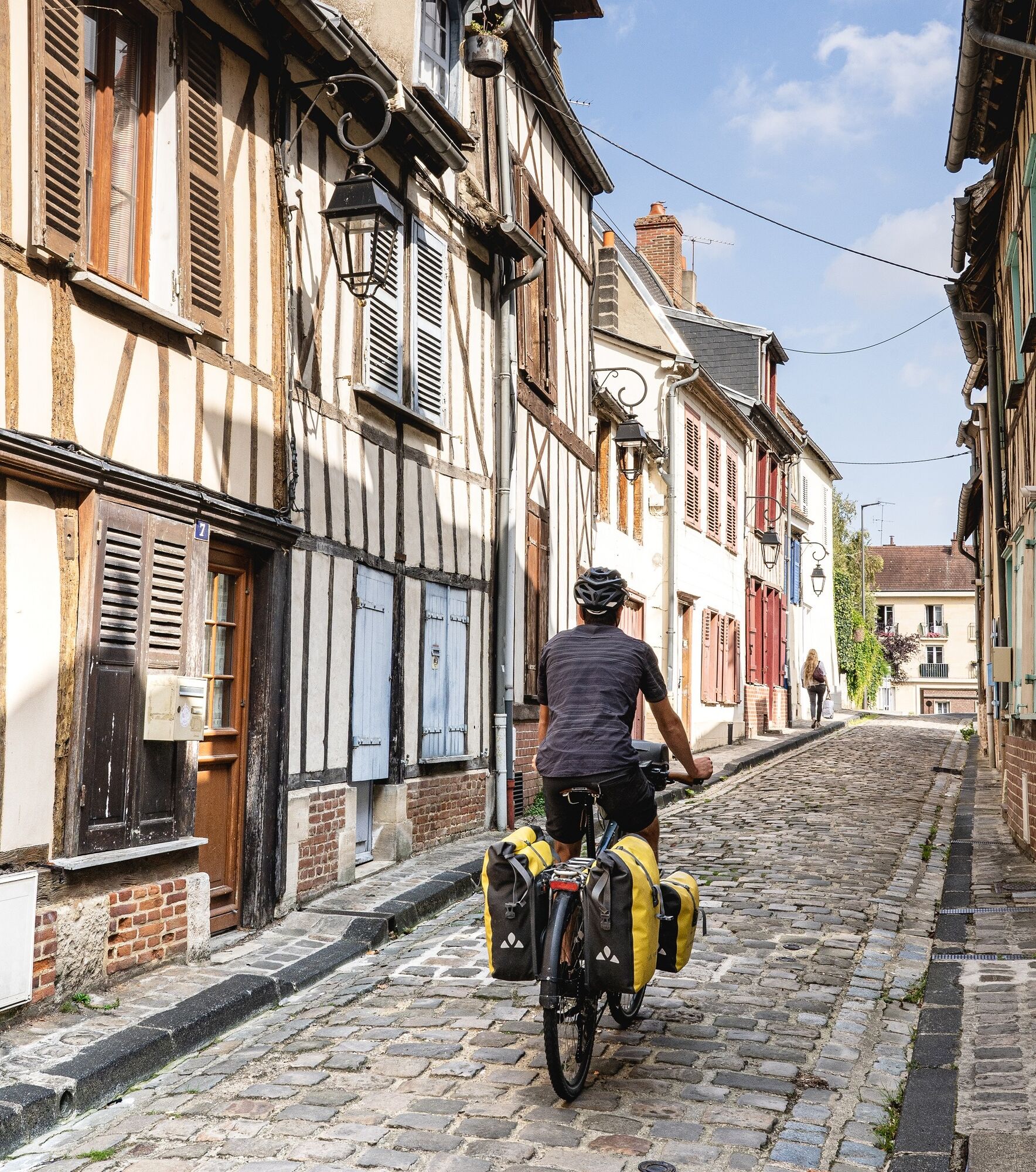
On this loop, you will travel 25% on protected sites (greenway, bike lane, towpath) and 75% on road (small roads with low traffic with or without bike lane). The distribution varies depending on the sections of the route. For details, you can consult the stages corresponding to this loop on the Avenue Verte London-Paris website.

Sprzęt

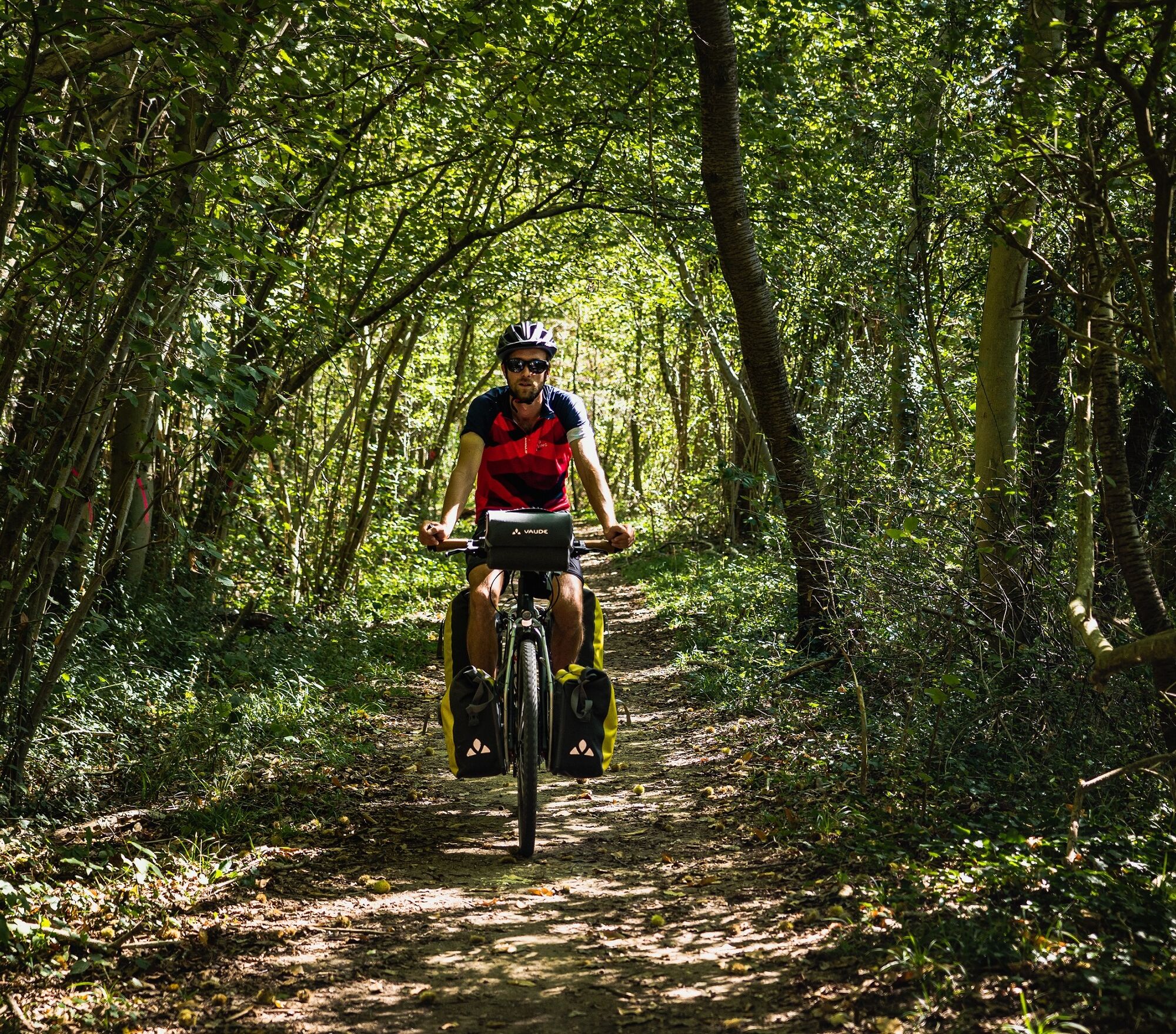
We recommend using a Touring Bike for this loop because the surface varies depending on the sections: greenways, paths, low-traffic roads.

Instrukcje bezpieczeństwa

Emergency number: 112

Informacje o przyjeździe
Przybycie

Loop accessible by car

Transport publiczny

Several public transport lines allow access to the loop.

Cergy: line L and RER A

Pontoise: SNCF station, lines J, H and RER C

Other towns on the loop are served by train: Beauvais, Gisors, etc.

Bikes are allowed on Transilien and RER trains (in designated spaces): outside peak hours and on weekends.

Parking

Parking available in the Cergy-Pontoise urban area or other departure towns.

Dodatkowe informacje i wskazówki
Poziom trudności

3

Dodatkowe informacje

More information about the Avenue Verte London-Paris route: https://www.avenuevertelondonparis.com/

Wskazówki

This loop follows the Avenue Verte London-Paris route. There are indeed two variants to connect Paris and London by bike. The two combined variants form this loop. Alternating greenways and low-traffic roads, it is signposted Avenue Verte London-Paris in both directions.

Wędrówki i tropienie

Wędrówki i tropienie

Wędrówki i tropienie
Ponad 550.000 propozycji wycieczek, szczegółowe mapy i intuicyjny planer tras sprawiają, że aplikacja jest niezbędna dla wszystkich entuzjastów przyrody.
bergfex