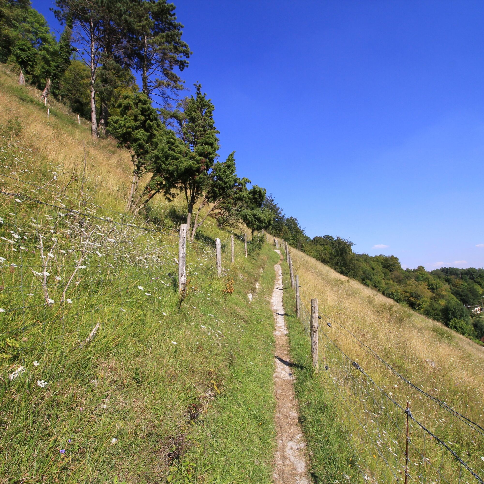
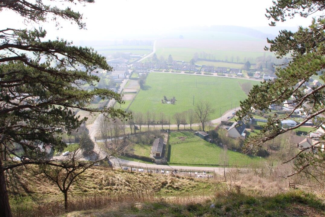
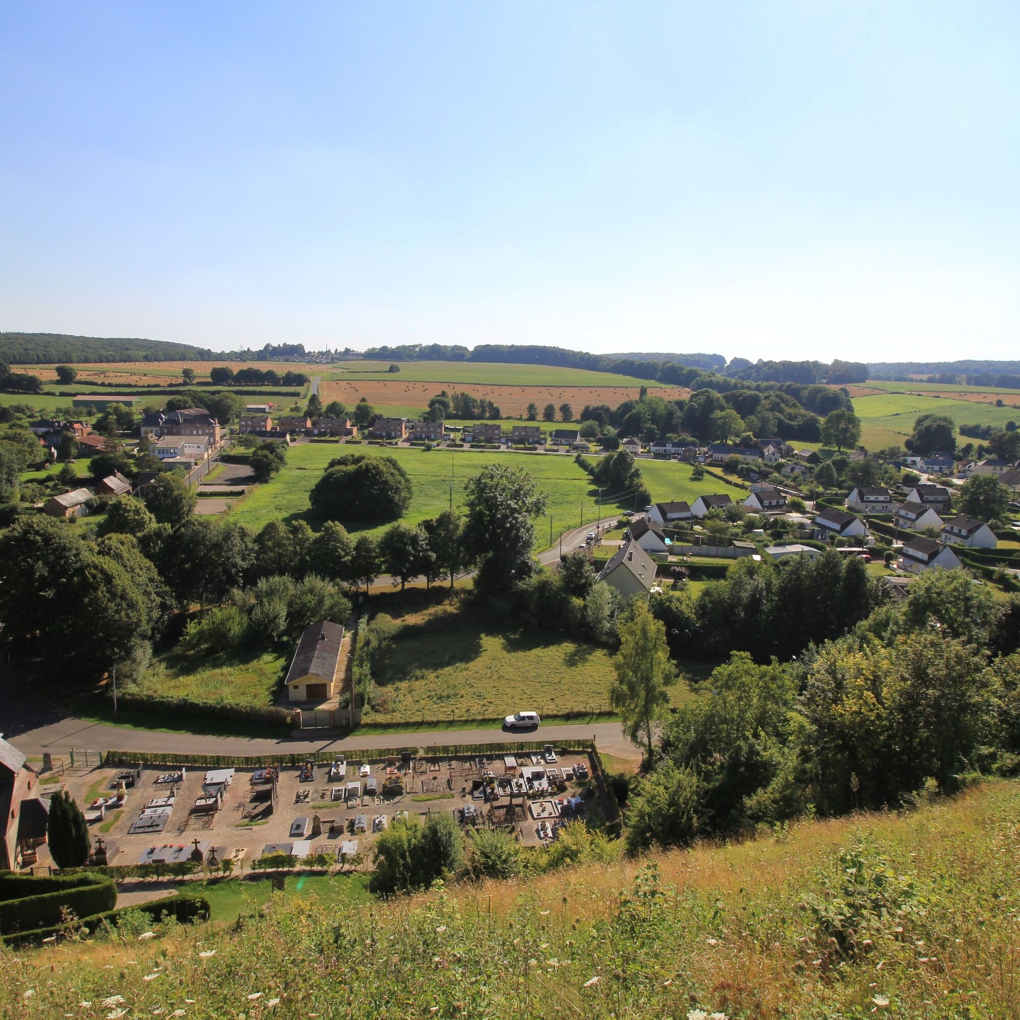
The larris of Le Quesne and Mont d'Arguël
światło
Pobierz tę trasę na swój telefon komórkowy
The larris of Le Quesne and Mont d'Arguël
światło
Wędrówka
1,51
km
Zeskanuj kod QR i rozpocznij nawigację w aplikacji bergfex.

Wędrówki i tropienie


The larris of Le Quesne and Mont d'Arguël
światło
Odległość
1,51
km
Czas trwania
00:33
h
Ascent
70
hm
Poziom morza
103 -
157
m
Ścieżka do pobrania
The larris of Le Quesne and Mont d'Arguël
światło
Wędrówka
1,51
km
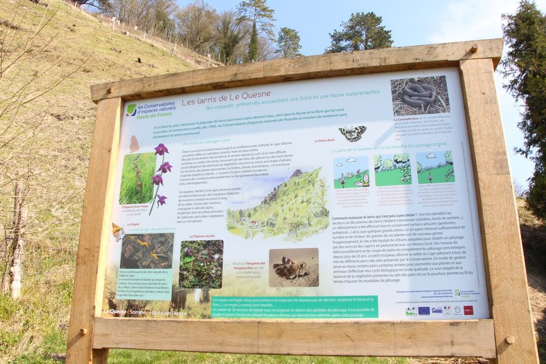
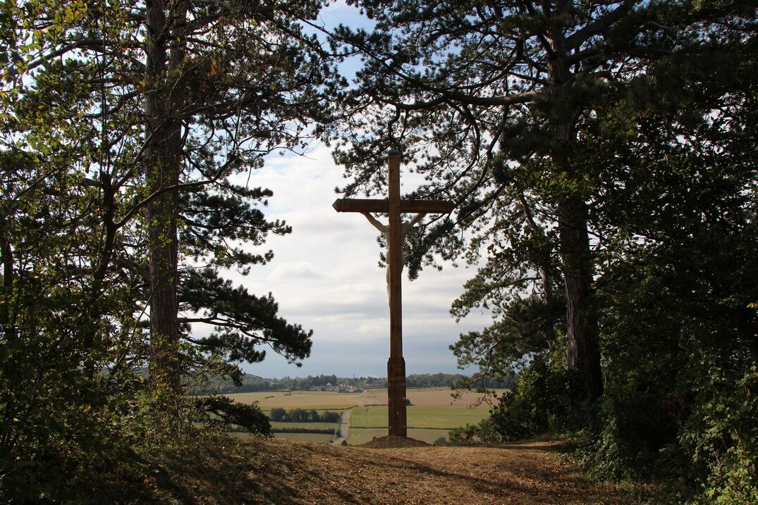
A walk in the wooded countryside, around a feudal mound under the watchful eye of the Virgin.
The Liger flows towards the Bresle in the hollow of a bocage valley, dominated on the right bank by a steep...
Opis
A walk in the wooded countryside, around a feudal mound under the watchful eye of the Virgin.
The Liger flows towards the Bresle in the hollow of a bocage valley, dominated on the right bank by a steep slope. One of these hills overlooks the village of Le Quesne and culminates at the feudal mound of Mont d'Arguël, which protects its perched village. A walk offering a splendid panorama over the valley.
The Liger flows towards the Bresle in the hollow of a bocage valley, dominated on the right bank by a steep slope. One of these hills overlooks the village of Le Quesne and culminates at the feudal mound of Mont d'Arguël, which protects its perched village. A walk offering a splendid panorama over the valley.
Trasa
Arguel
(159 m)
Wioska
0,7 km
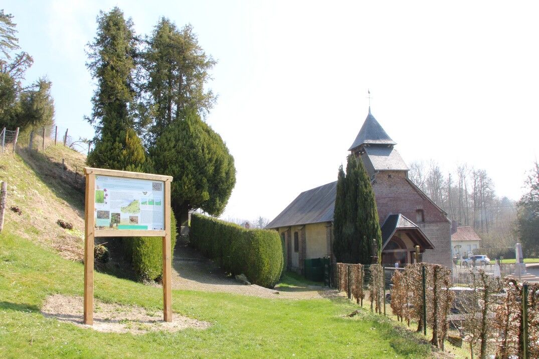
Église Saint-Rémy
(102 m)
Miejsce kultu
1,5 km
Le Quesne
(103 m)
Wioska
1,5 km
Trasa
The larris of Le Quesne and Mont d'Arguël
światło
Wędrówka
1,51
km
Arguel
(159 m)
Wioska
0,7 km
Église Saint-Rémy
(102 m)
Miejsce kultu
1,5 km
Le Quesne
(103 m)
Wioska
1,5 km
Autor
Dostarczone przez Somme Tourisme
Wycieczkę The larris of Le Quesne and Mont d'Arguël zapewnia outdooractive.com.

Dodatkowe informacje i wskazówki
Dodatkowe informacje
Wskazówki
Nie ma jeszcze recenzji
Popularne wycieczki w okolicy
-
Vimeu to Airaines greenway
światłoWędrówka 21,0 km -
The mill of Frucourt
światłoWędrówka 9,03 km -
The fly tree
światłoWędrówka 14,6 km -
The Liger loop
światłoWędrówka 9,75 km -
Chès Pailleuses (Loop A)
światłoDroga rowerowa 36,9 km -
Les larris de Blangiel
światłoWędrówka 2,08 km -
The larris of Saint-Aubin-Rivière
światłoWędrówka 1,74 km -
Chés Pailleuses (Loop B)
światłoDroga rowerowa 34,5 km -
Le Bois de la Faude
światłoWędrówka 13,6 km -
MTB route - Greenway from Vimeu to Airaines
światłoJazda na rowerze 21,0 km
Wędrówki i tropienie

Ponad 550.000 propozycji wycieczek, szczegółowe mapy i intuicyjny planer tras sprawiają, że aplikacja jest niezbędna dla wszystkich entuzjastów przyrody.

Nie przegap ofert i inspiracji na następne wakacje
Zapisz się do newslettera
Błąd
Wystąpił błąd. Spróbuj ponownie.
Dziękujemy za rejestrację
Twój adres e-mail została dodana do listy mailingowej.
Wycieczki po całej Europie
Austria
Szwajcaria
Niemcy
Włochy
Słowenię
Francja
Holandia
Belgia
Polska
Liechtenstein
Czechy
Słowacja
Hiszpania
Chorwacja
Bośnia i Hercegowina
Luksemburg
Andorra
Portugalia
Islandia
Wielka Brytania
Irlandia
Grecja
Albania
Macedonia Północna
Malta
Norwegia
Czarnogóra
Mołdawia
Kosowo
Węgry
San Marino
Rumunia
Estonia
Łotwa
Białoruś
Cypr
Litwa
Serbia
Bułgaria
Monako
Dania
Szwecja
Finlandia