


Buchner Tobel suspension bridge route
A hike away from large hiking crowds over quiet mountain paths, around an unknown side valley of Prättigau. Highlights along the way are the new suspension bridge (70m long) over the Grüsttobel and the...
A hike away from large hiking crowds over quiet mountain paths, around an unknown side valley of Prättigau. Highlights along the way are the new suspension bridge (70m long) over the Grüsttobel and the nature reserve at Stelsersee. On this route, you get to know Pany and its surroundings from a whole new perspective!

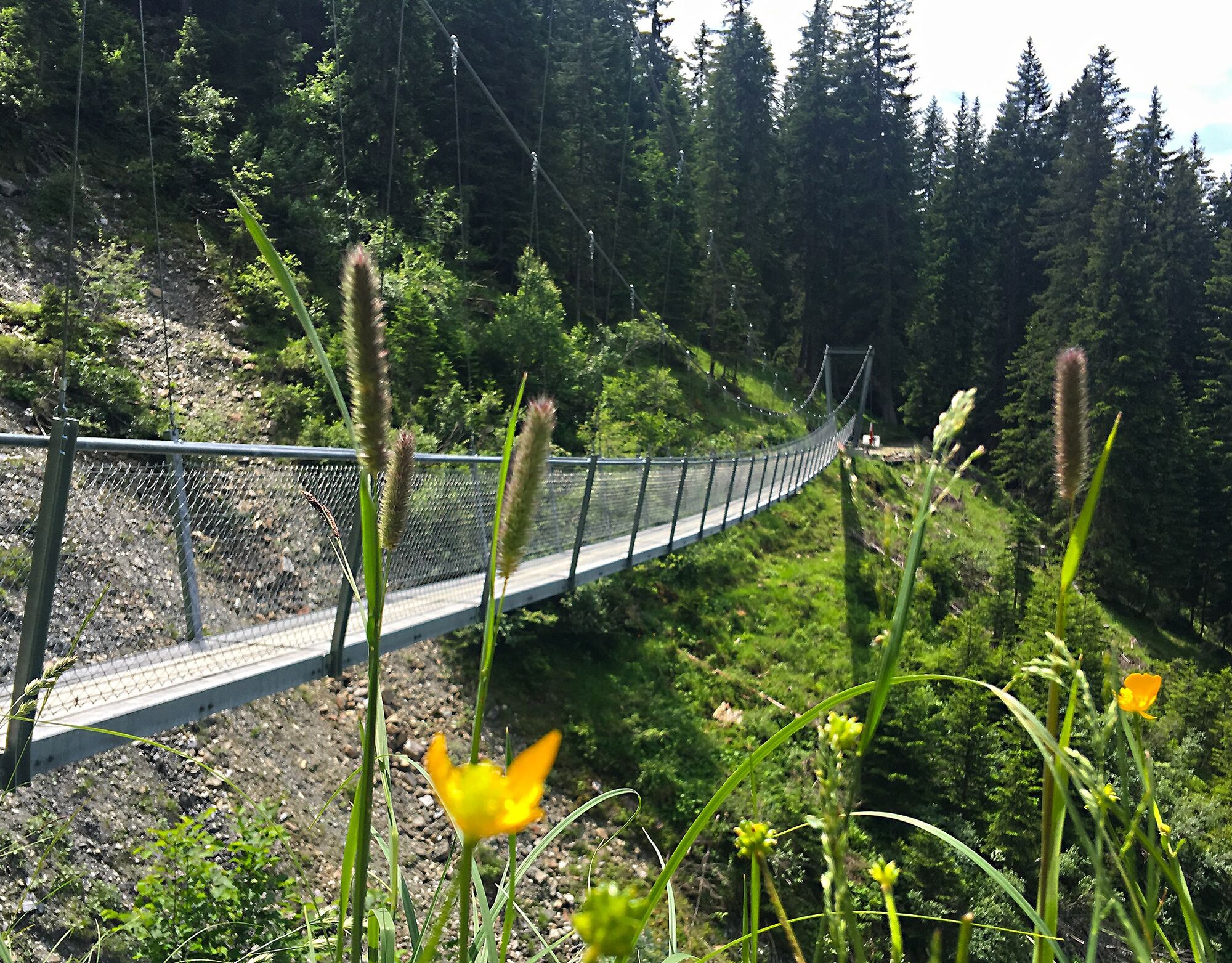
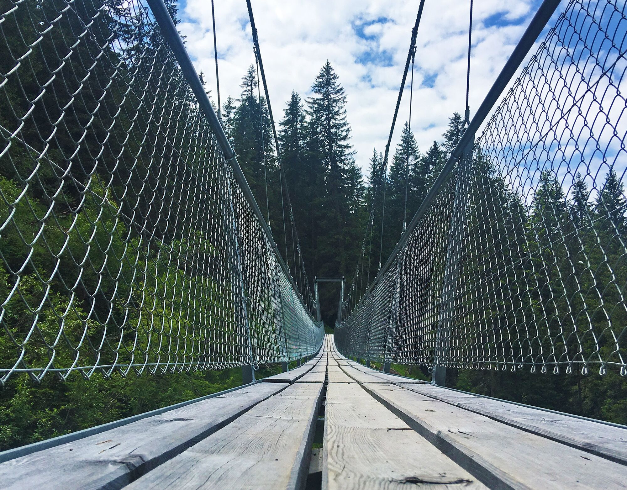
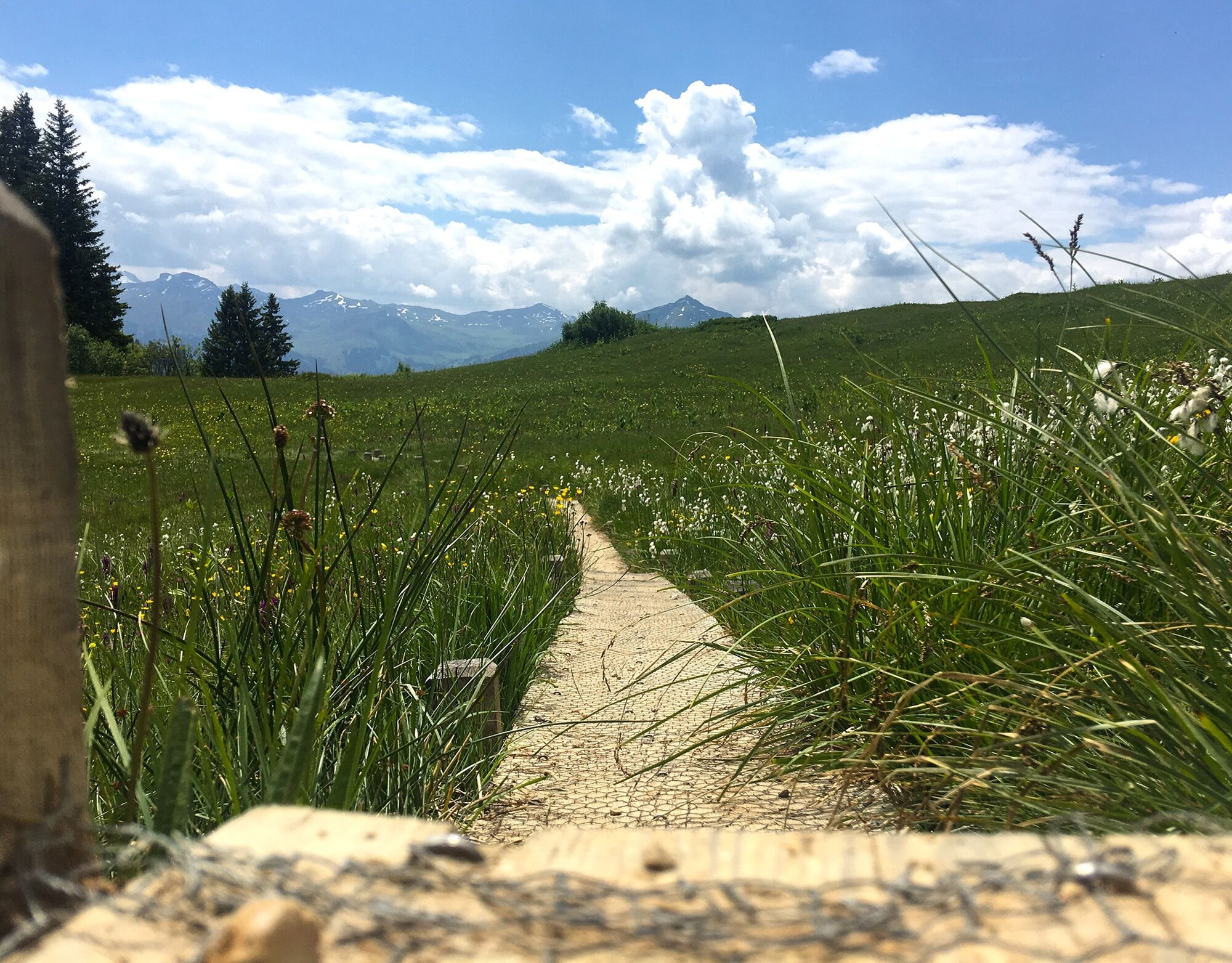
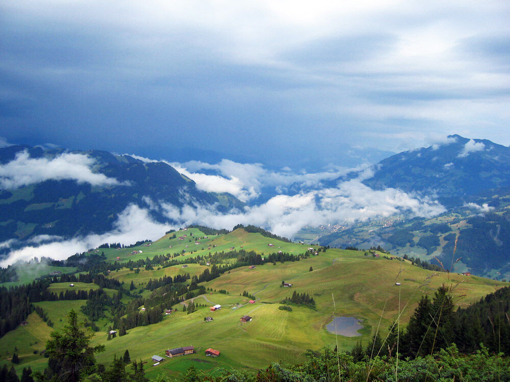
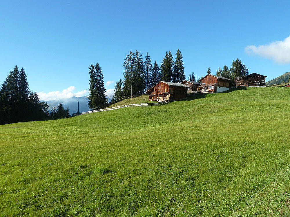
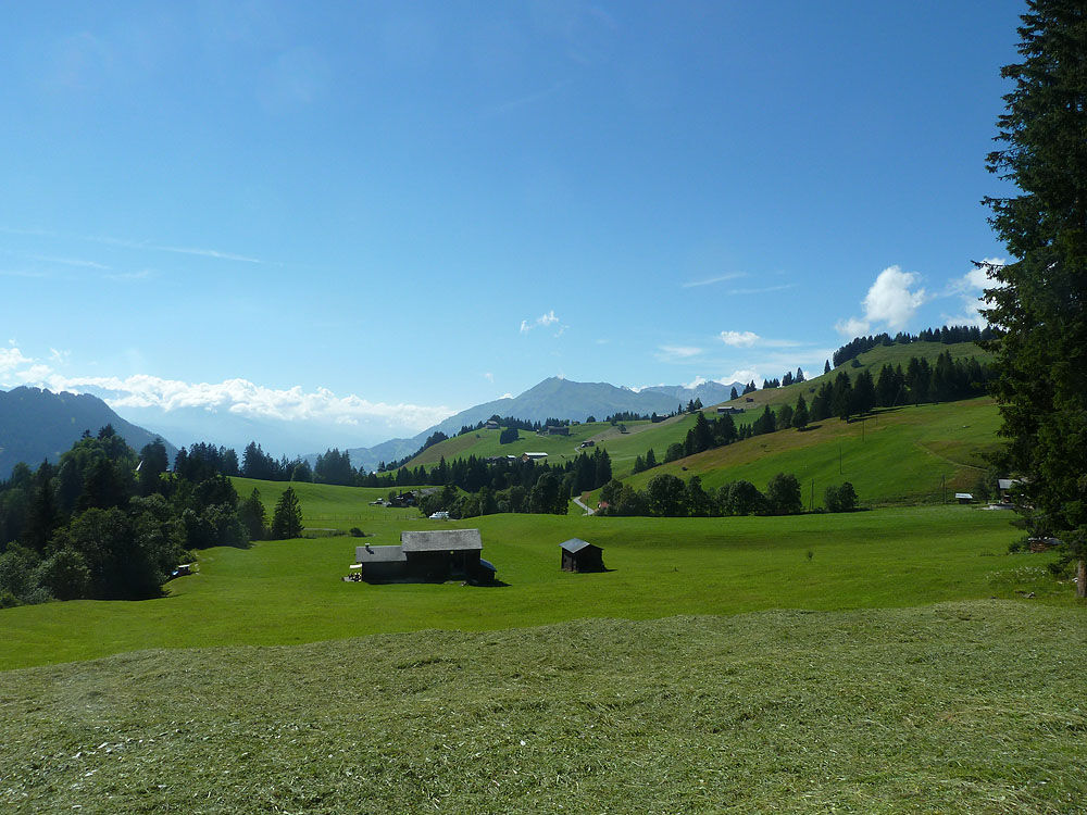
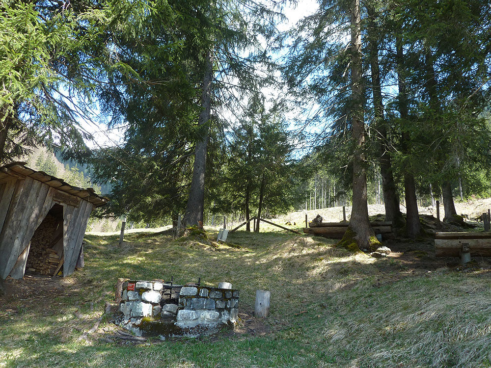
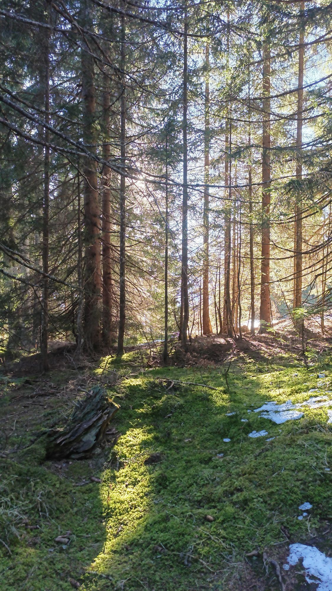
From the village square in Pany, follow the hiking path uphill to the Pany ski lift and continue directly through fields and forest to the Maiensässdörfchen Tratza. From the end of June until about the end of October, you can indulge in local cuisine at the cozy Tratza-Beizli. Above Tratza, the hiking path branches left towards Stelserberg. Slightly descending through the forest, you reach the new suspension bridge over the Grüsttobel in the impressive steep flank of the Buchner Tobel. The hiking path continues with ups and downs to the large terrace of the Stelserberg.
Good footwear, mountain hiking clothing adapted to the season, and a map in your backpack are recommended.
Winter closure: During winter, crossing the bridge is not recommended - risk of slipping!
Via the A13 and A28 to Küblis. Shortly after the Küblis town sign, turn left (underpass) and follow Luzeinerstrasse uphill to Pany.
By Rhaetian Railway RhB to Schiers or Küblis and by post bus to Pany or St. Antönien. (Timetable field 90.218 or 90.222)
Summer and winter: P41 ski lift, P42 Güggelstein, P43 swimming pool, parking spaces are subject to fees. Payment can be made with cash, Parkingpay app, or Twint.
Panyerstrasse 39
CH-7243 Pany
Tel. +41 81 300 32 22
info@pany-stantoenien.ch
Prättigau Marketing
Feldweg 19
CH-7233 Jenaz
Tel. +41 (0)81 325 11 11
info@praettigau.info
www.praettigau.info
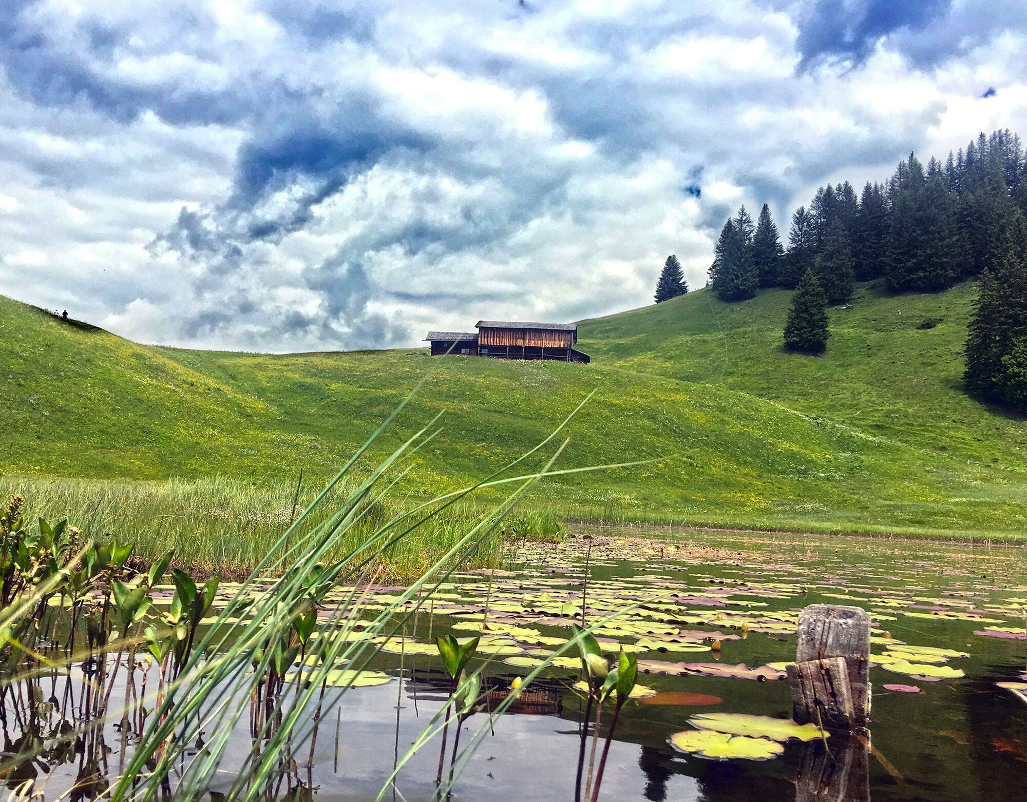
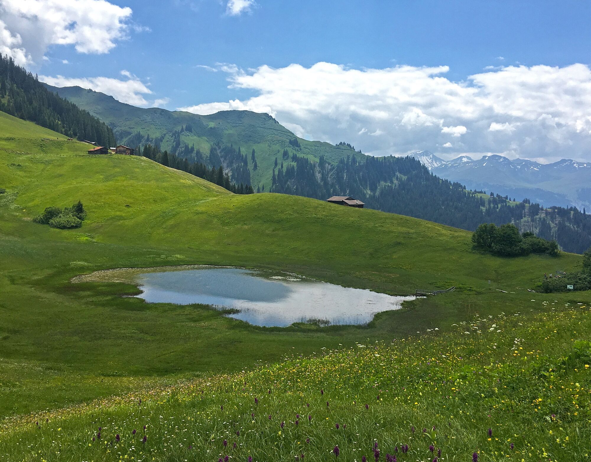
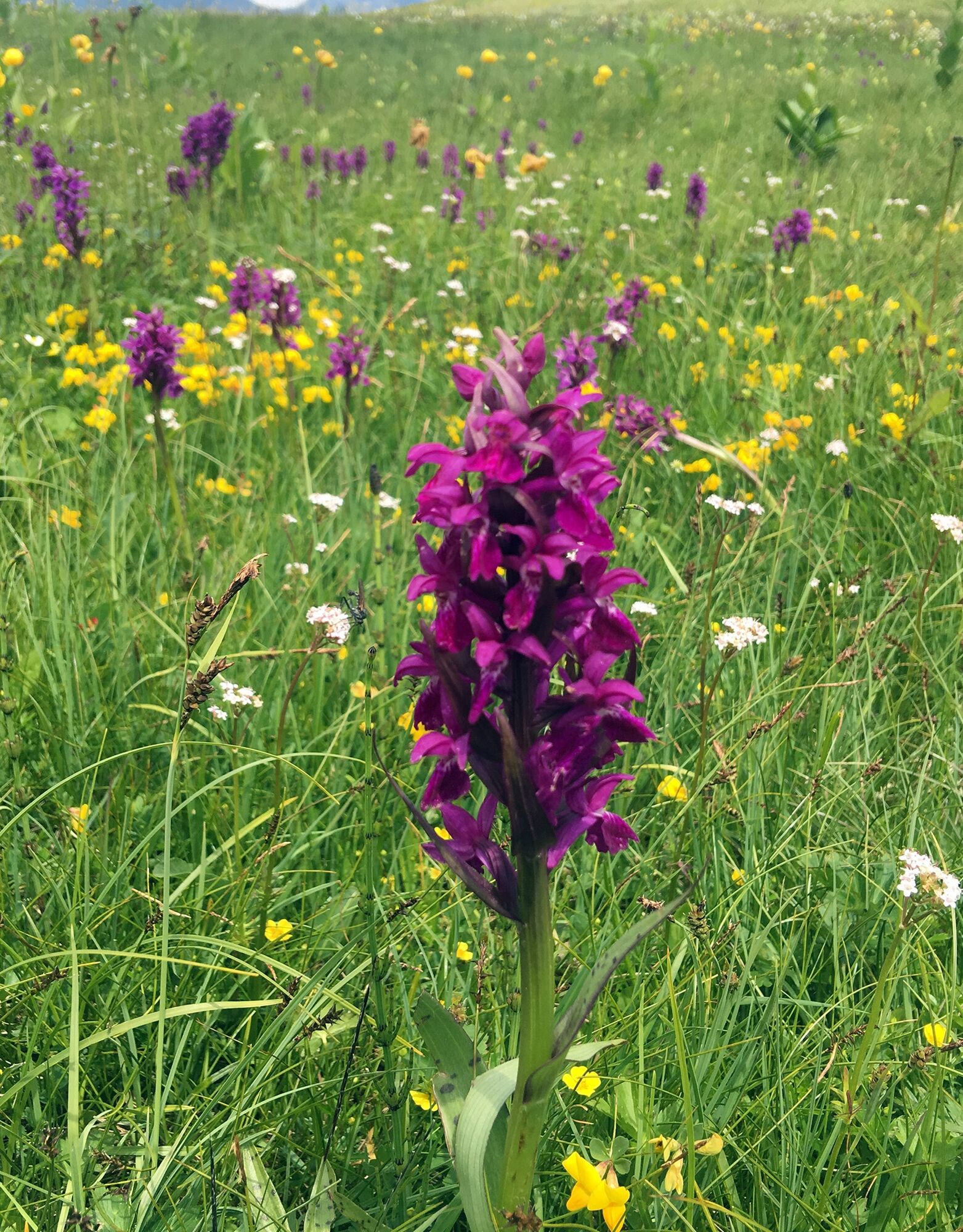
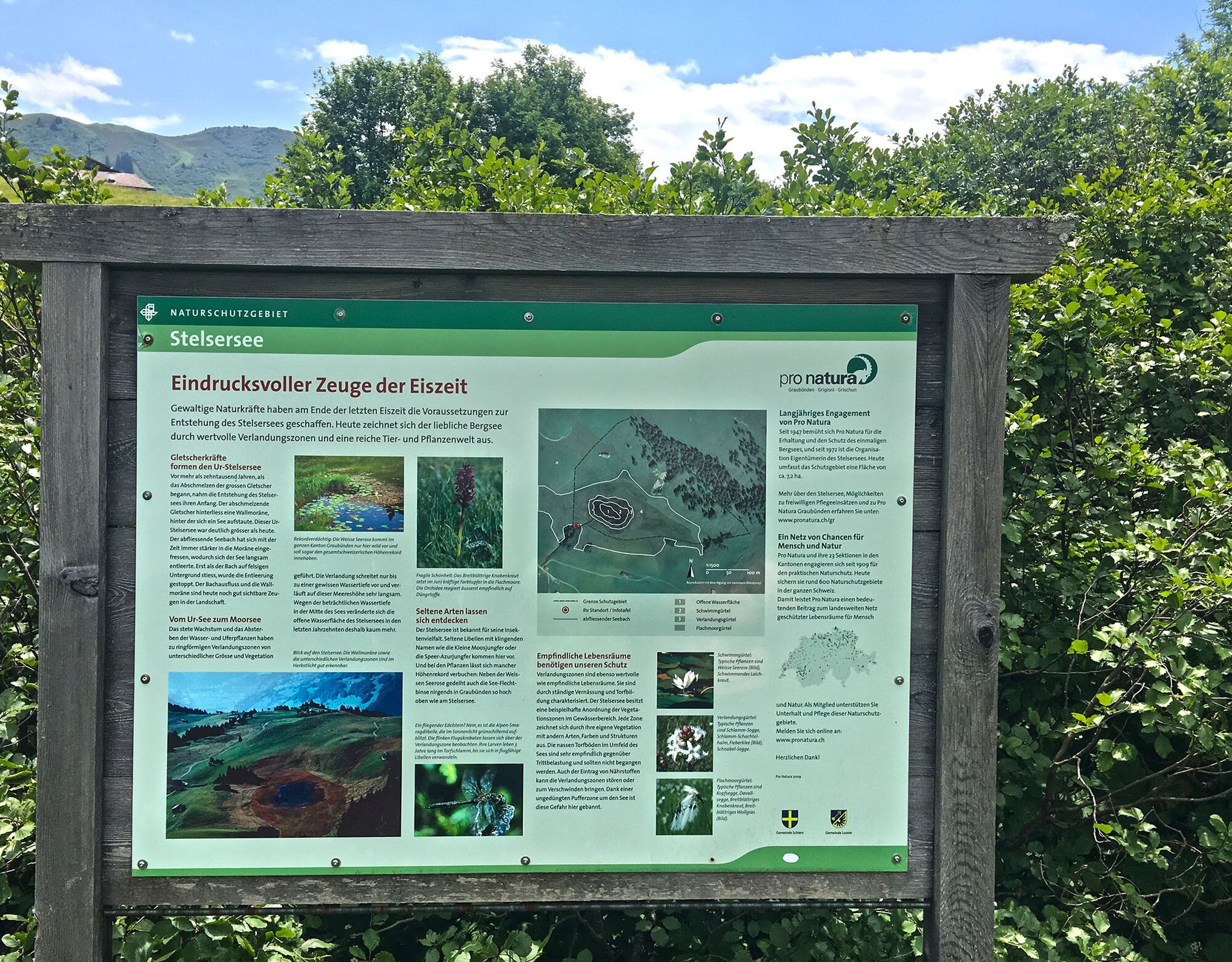
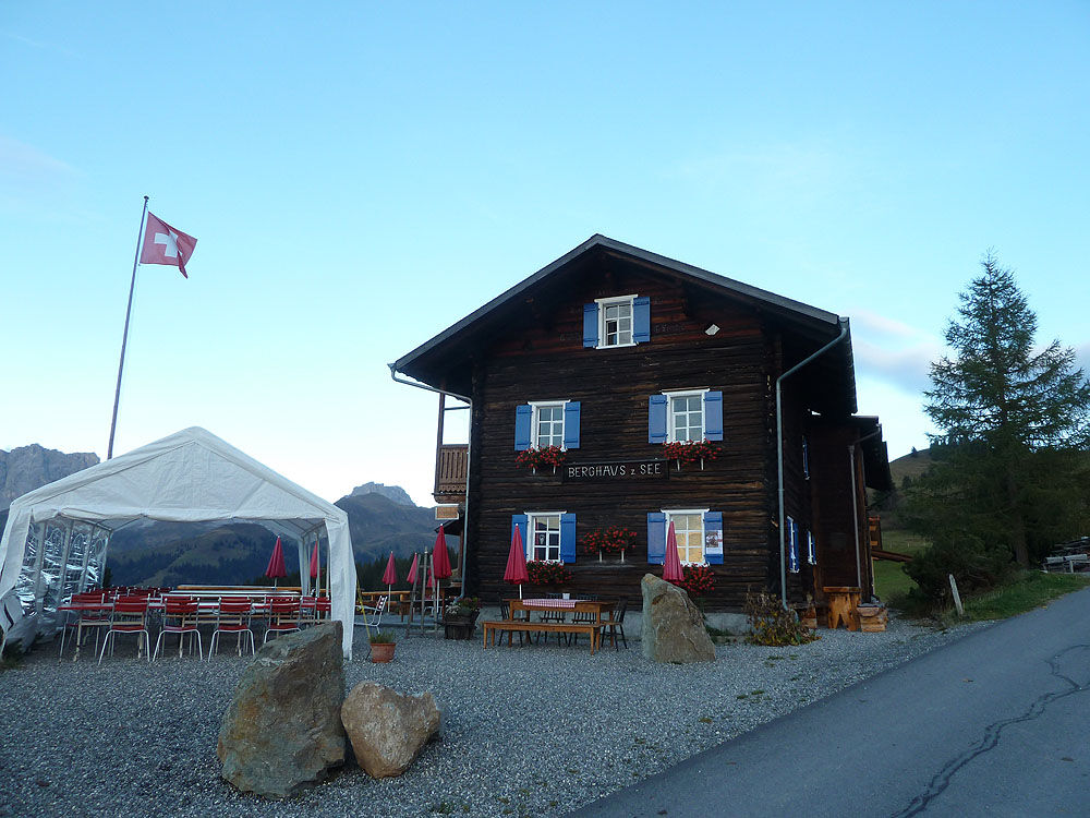
Those who ascend a few more minutes northward from Stelsersee up to the broad ridge of the Stelserberg will discover much more: Here stand the large Rätikon limestone walls in a row! The panorama can be especially well enjoyed from the terrace of the Berghaus zum See!
Popularne wycieczki w okolicy
-
5,0
Ski tour to the Lindauer Hut (1,744 m)
światłoWycieczka narciarska 14,0 km -
4,8
Smuggler’s path
średniTrasa tematyczna 8,60 km -
4,4
Golm-Rundwanderweg im Rätikon
średniTrasa tematyczna 7,28 km -
4,2
Golmerbahn Bergstaion Grüneck - Golmer Höhenweg - Geißspitze - Lindauer Hütte - Latschau
średniWędrówka 11,5 km -
4,9
Douglasshütte, Lünersee, Gafalljoch Brand bei Bludenz, Vorarlberg
światłoWędrówka 9,16 km -
4,8
Douglashütte - Schesaplana
średniWędrówka 7,31 km -
3,0
Bergstation Grüneck Golmerbahn - Alpe Latschätz - Lindauer Hütte - Latschau
światłoWędrówka 11,1 km -
4,0
Golmer Höhenweg
średniWędrówka 13,8 km -
5,0
Around the Kirchlispitzen (2,552 m)
ciężkiWędrówka 14,8 km -
4,8
Gargellner Window Path
średniTrasa tematyczna 7,21 km
Wędrówki i tropienie


Nie przegap ofert i inspiracji na następne wakacje
Twój adres e-mail została dodana do listy mailingowej.