


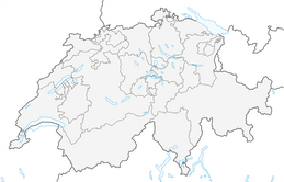


Susch – Jöriseen – Wägerhus



The hike starts at Susch station and before the bridge over Val Susasca turn right parallel to the river, always following the Jöriseen signs. The time indications on the signposts correspond to a different...
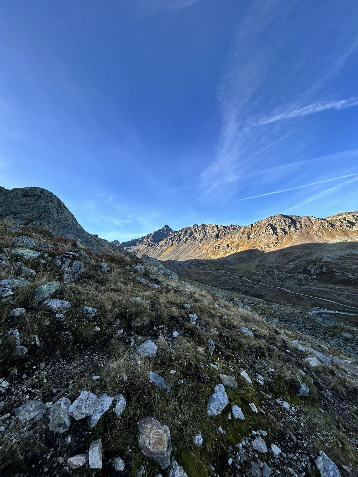
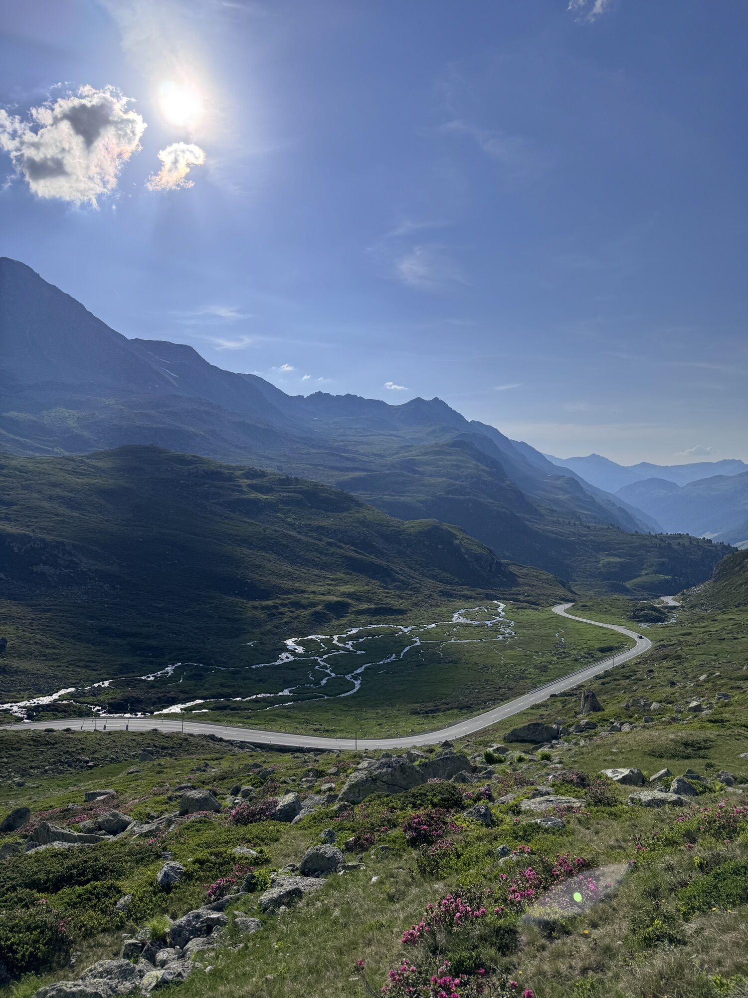
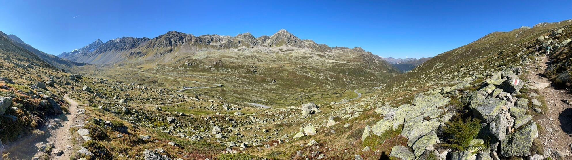
The hike starts at Susch station and before the bridge over Val Susasca turn right parallel to the river, always following the Jöriseen signs. The time indications on the signposts correspond to a different route and can therefore be disregarded. After a few meters uphill, you pass two intersections. At the first intersection, turn left and at the second turn right. From here continue on an alpine path towards Nudigls. At the intersection at approximately 1700 m above sea level, follow the alpine road to the right (not left towards the Jöriseen). Here you reach the Panorama Trail via Nudigls. On this section, a unique view awaits which makes every step to Alp Fless Dadoura easier.
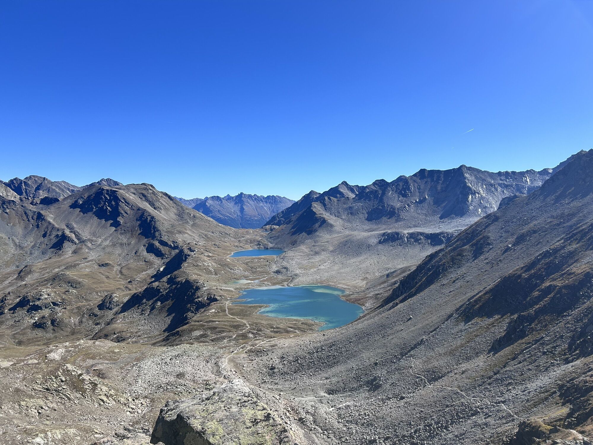
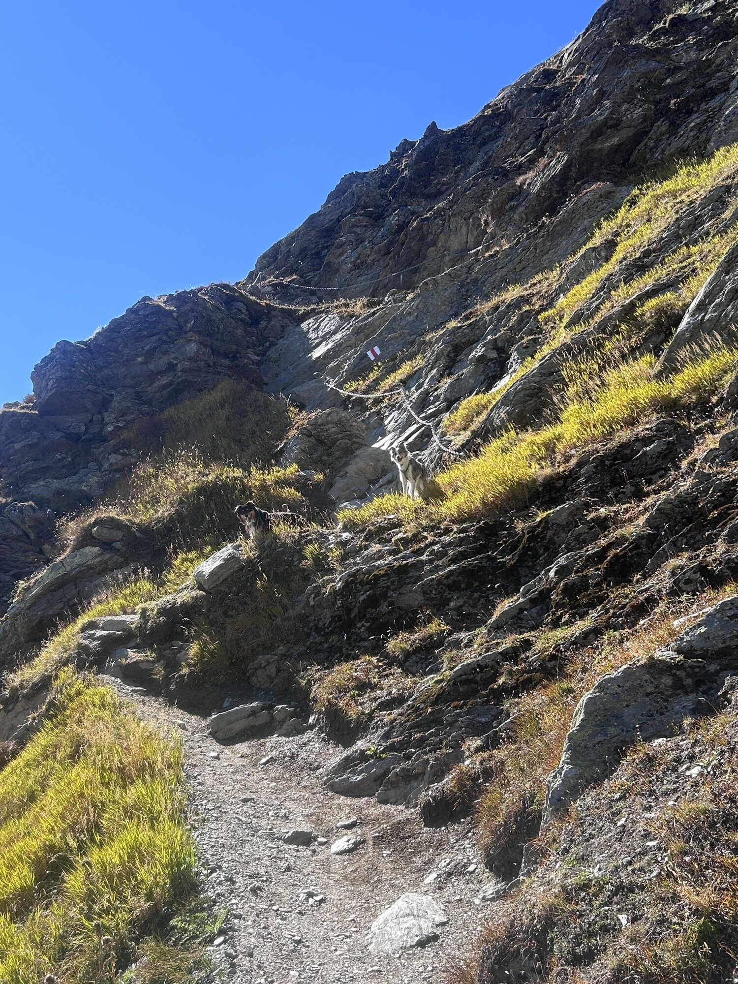
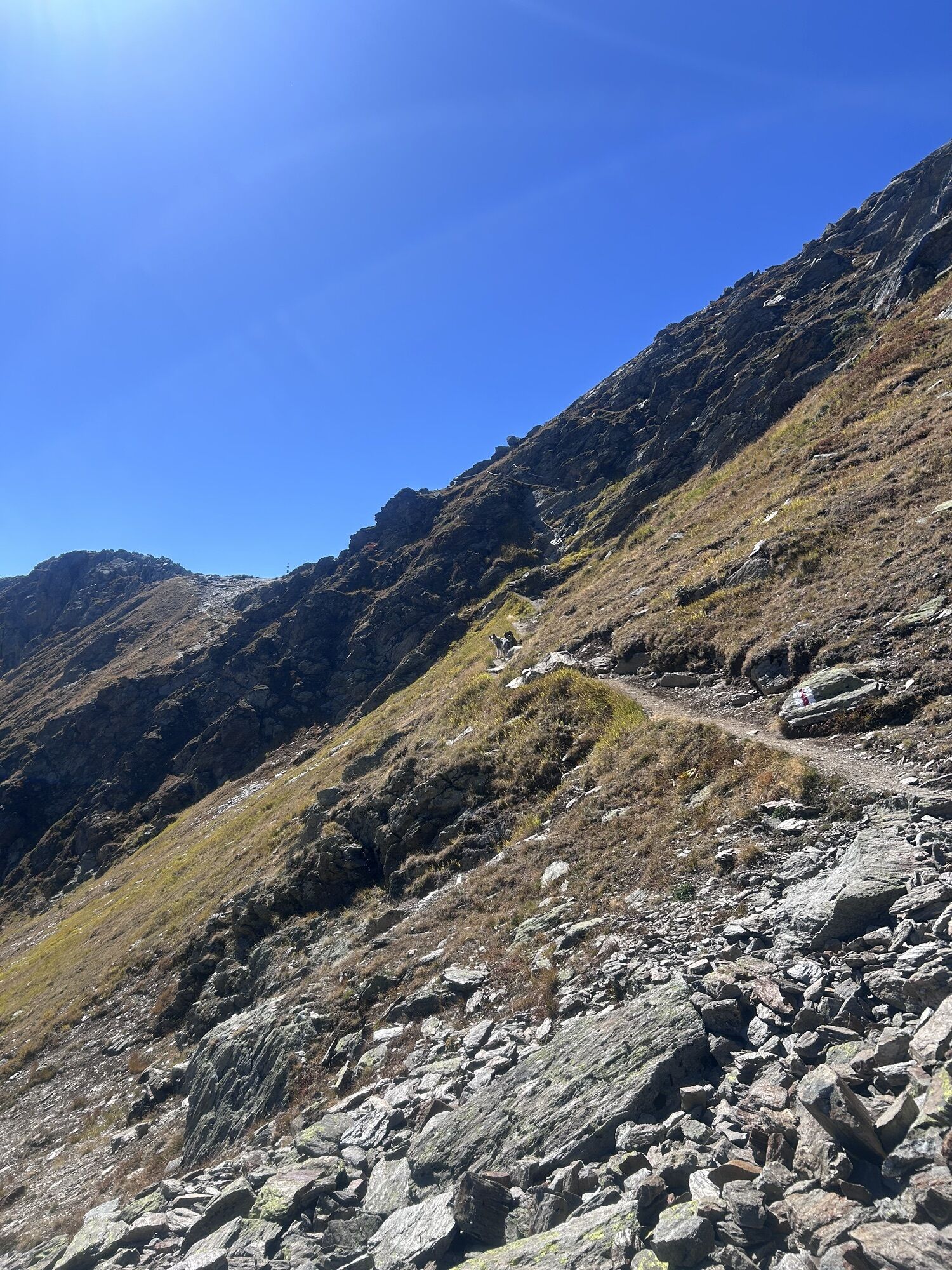
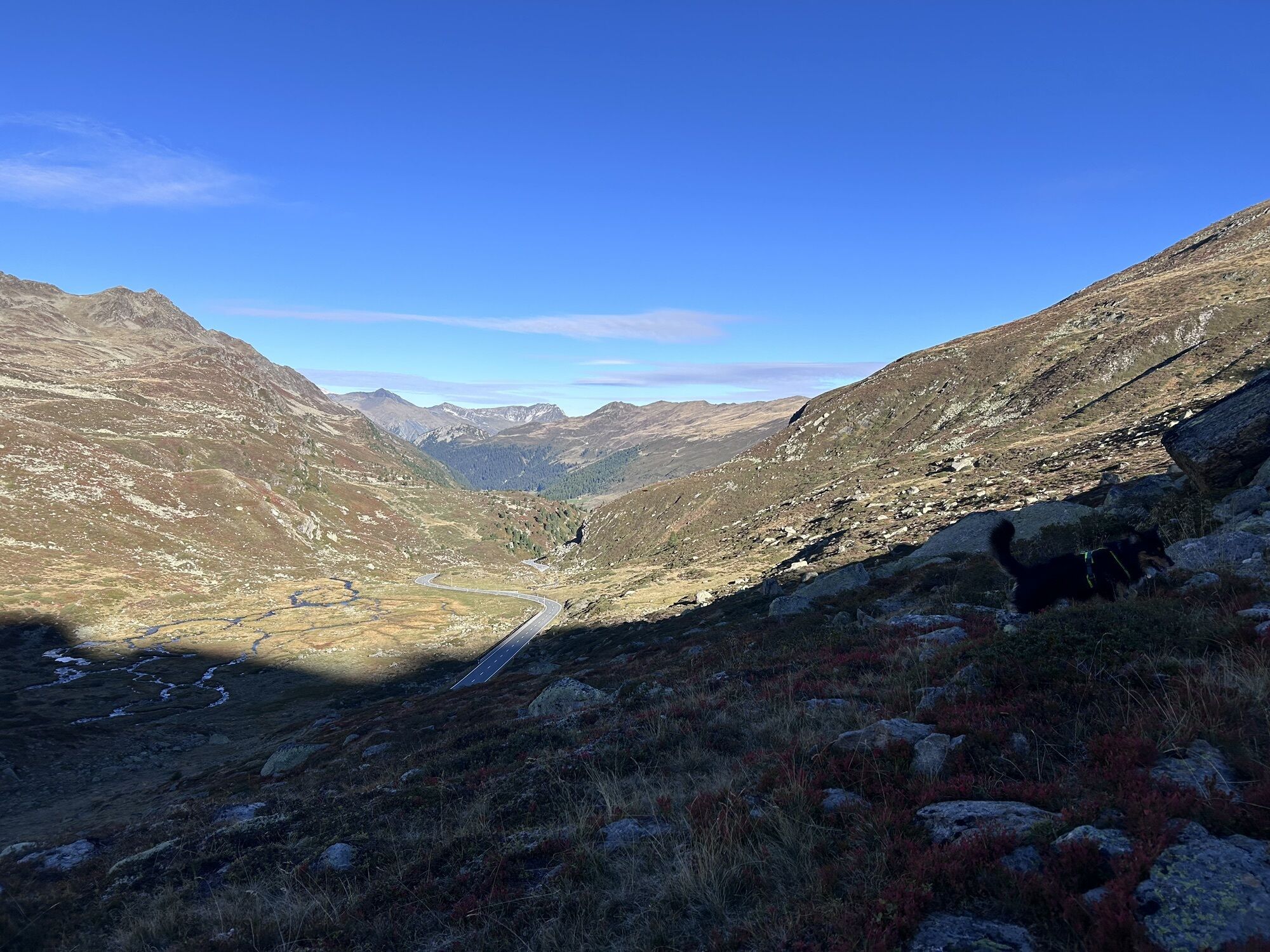
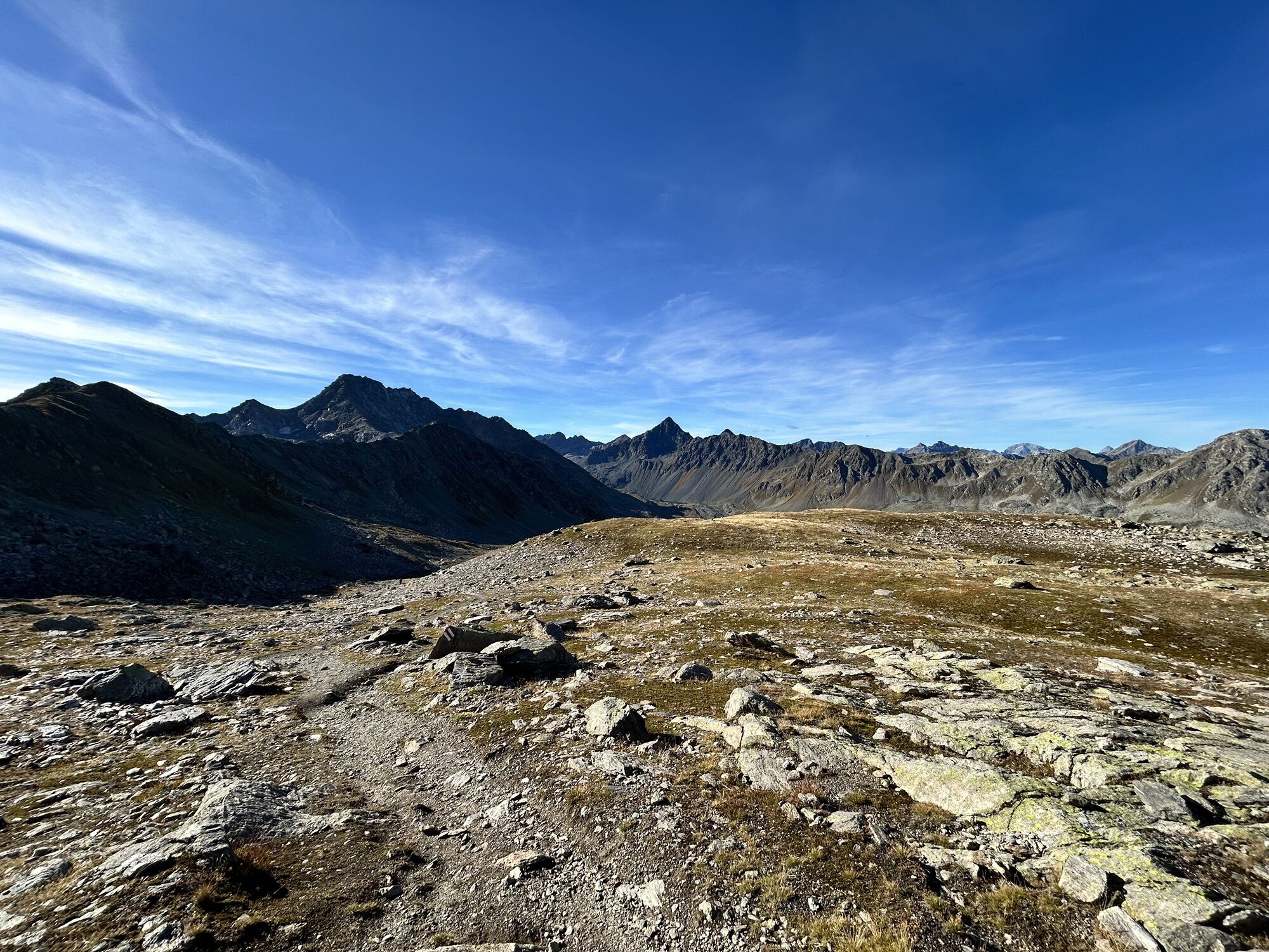
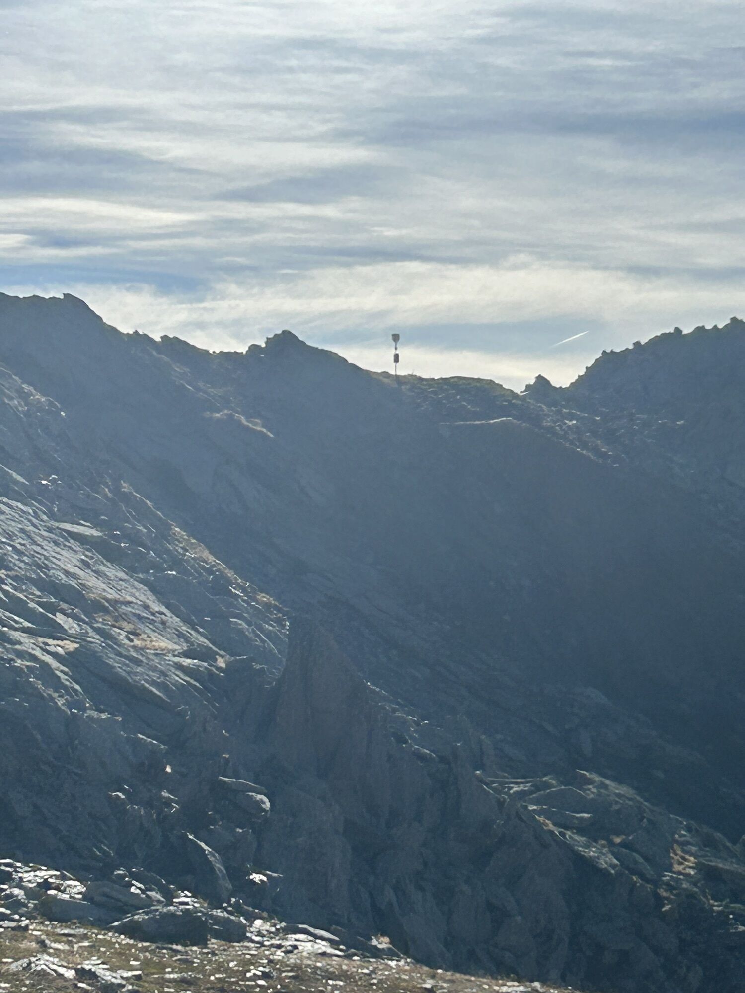
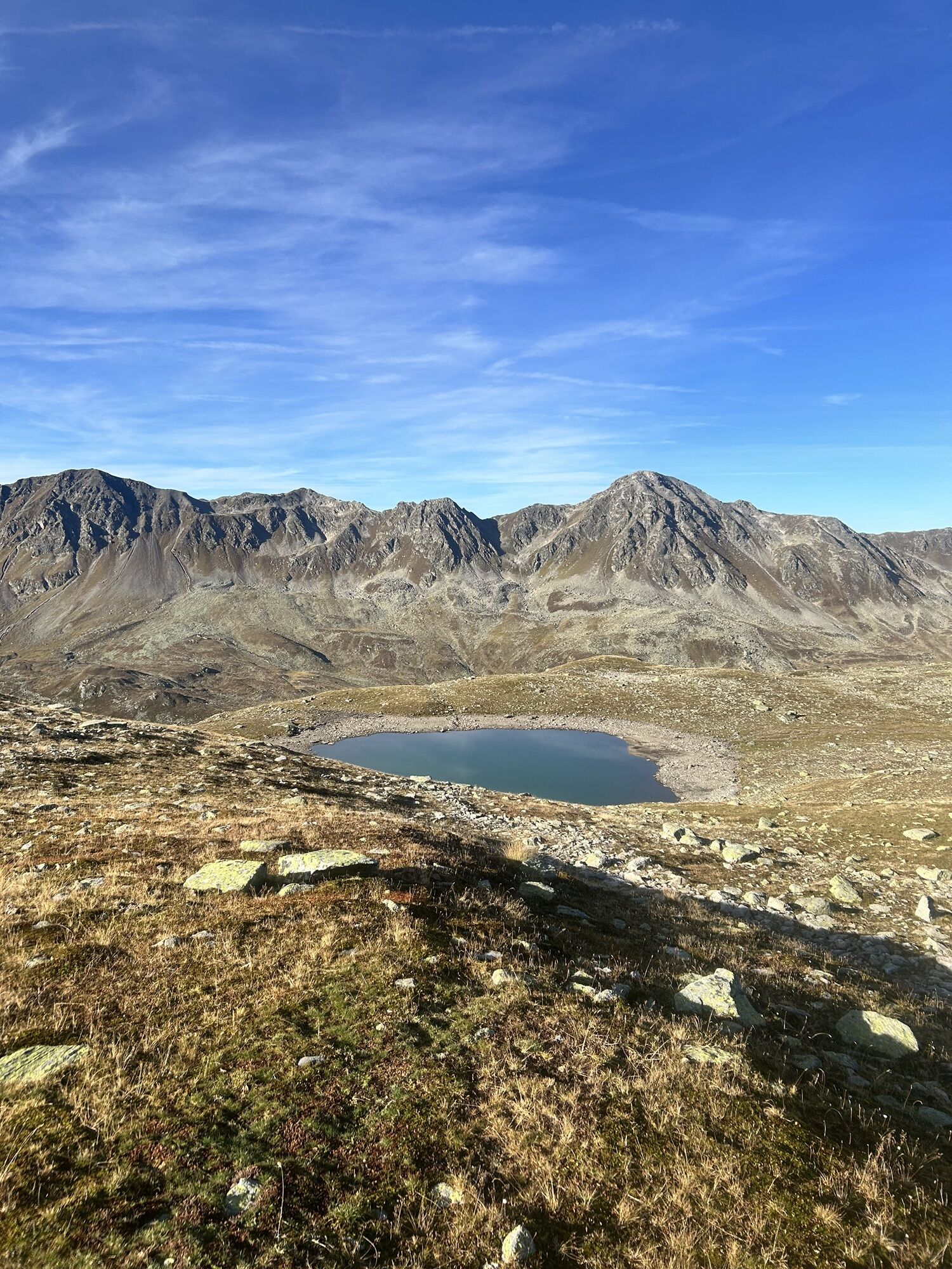
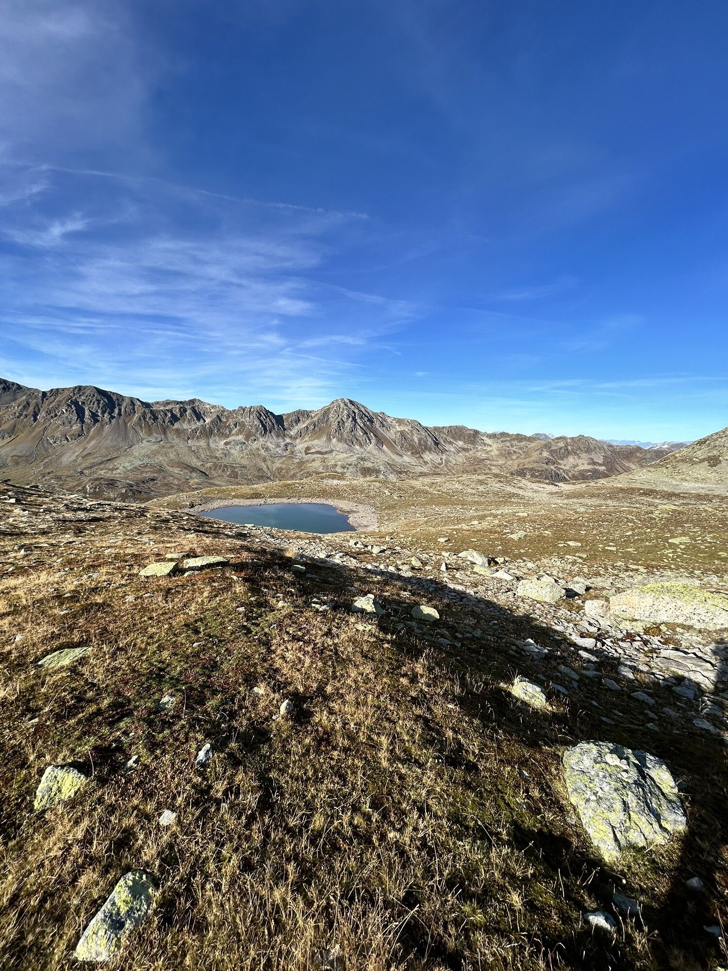
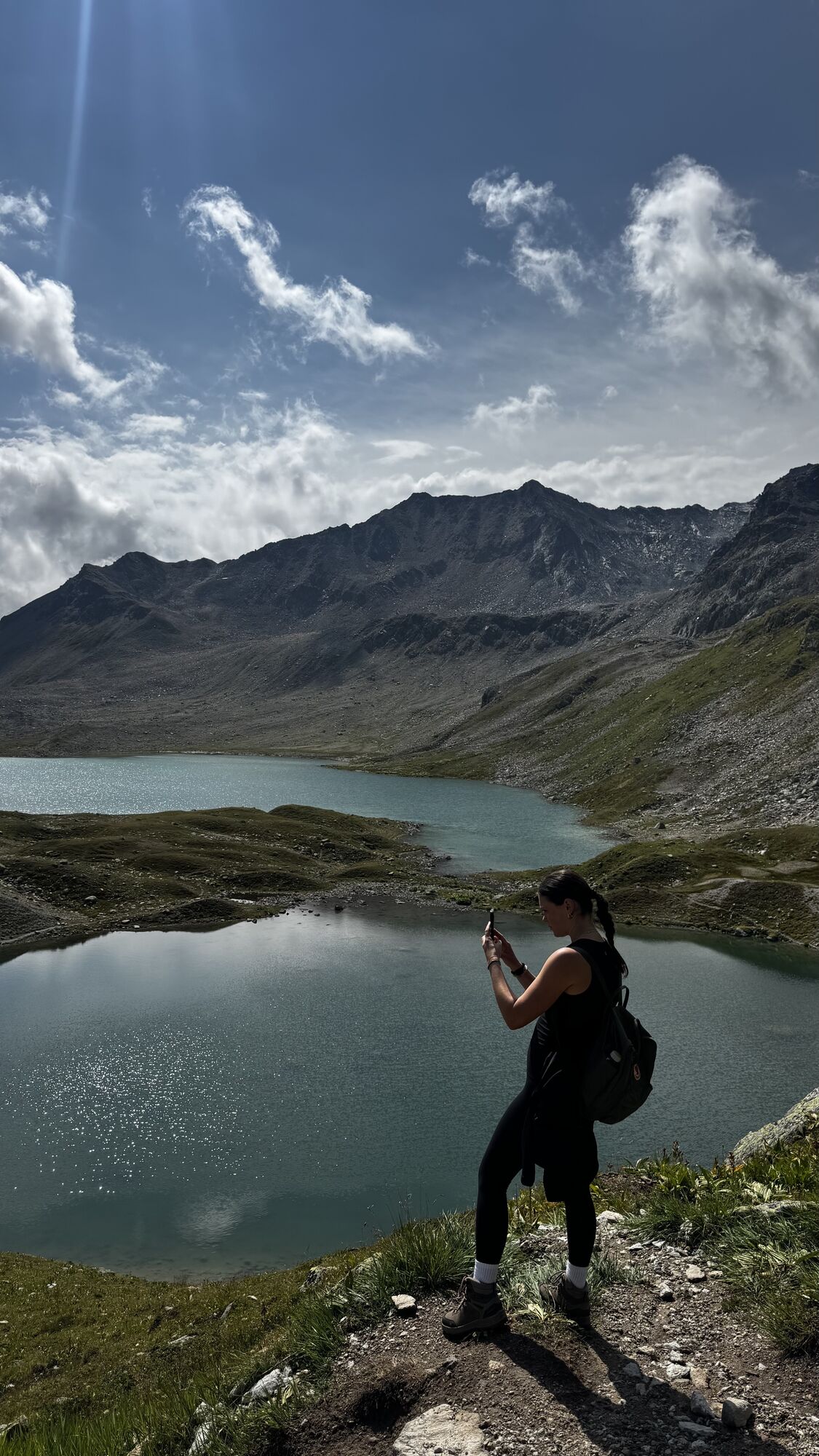
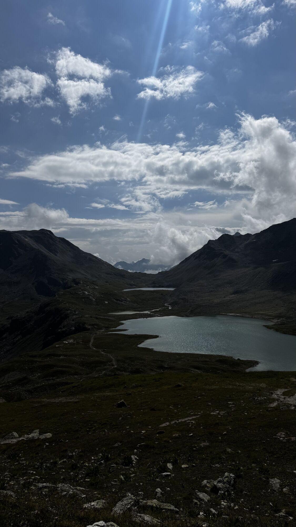
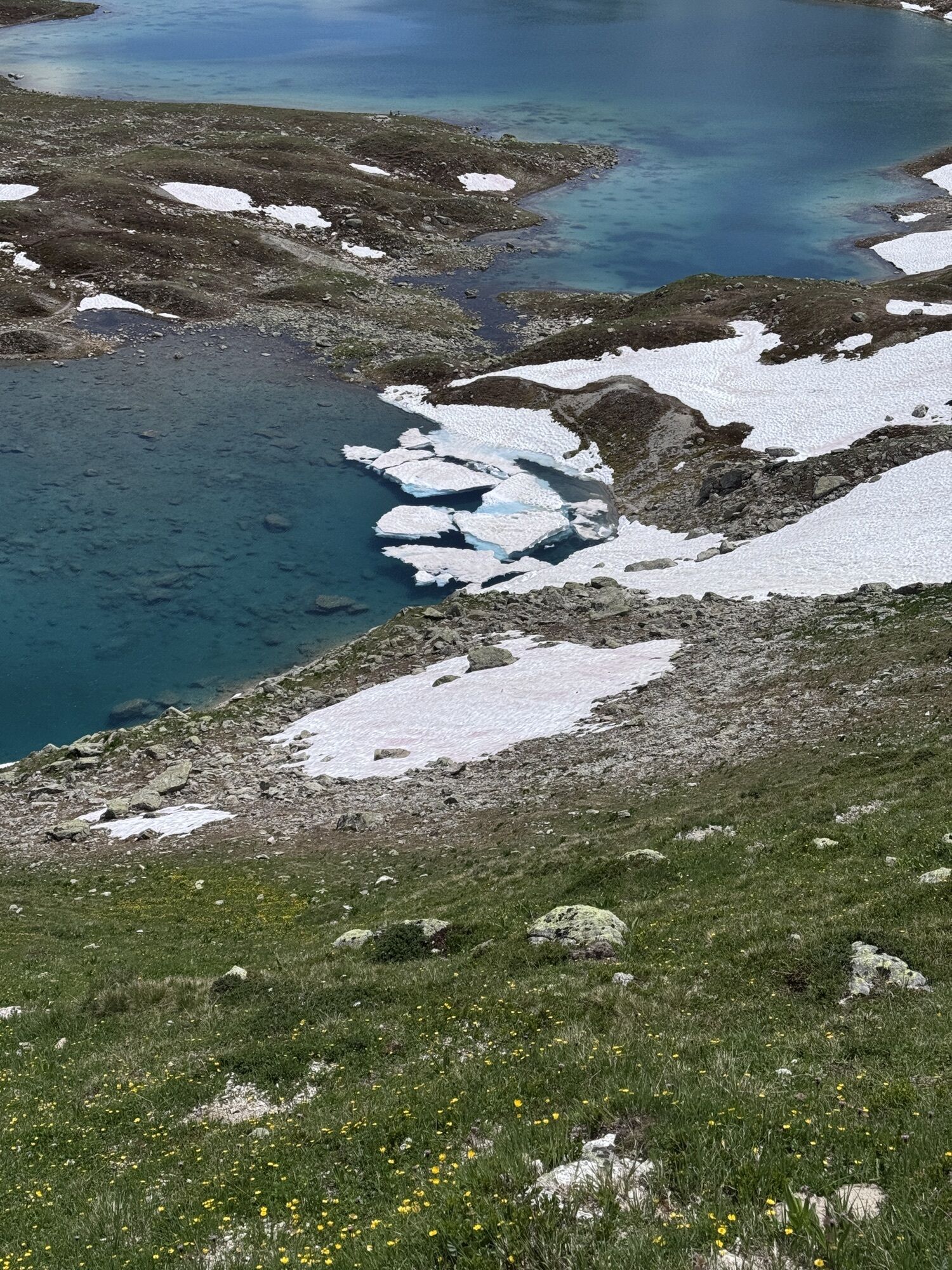
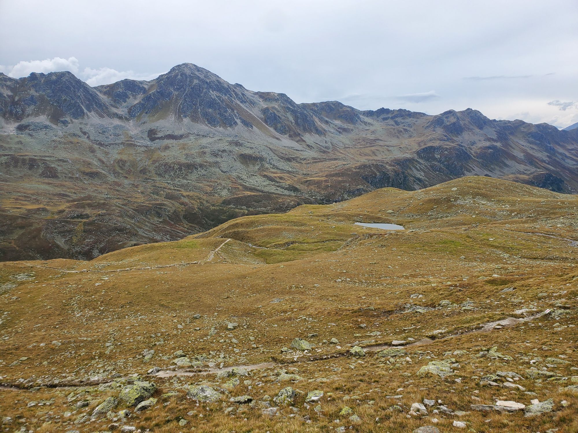
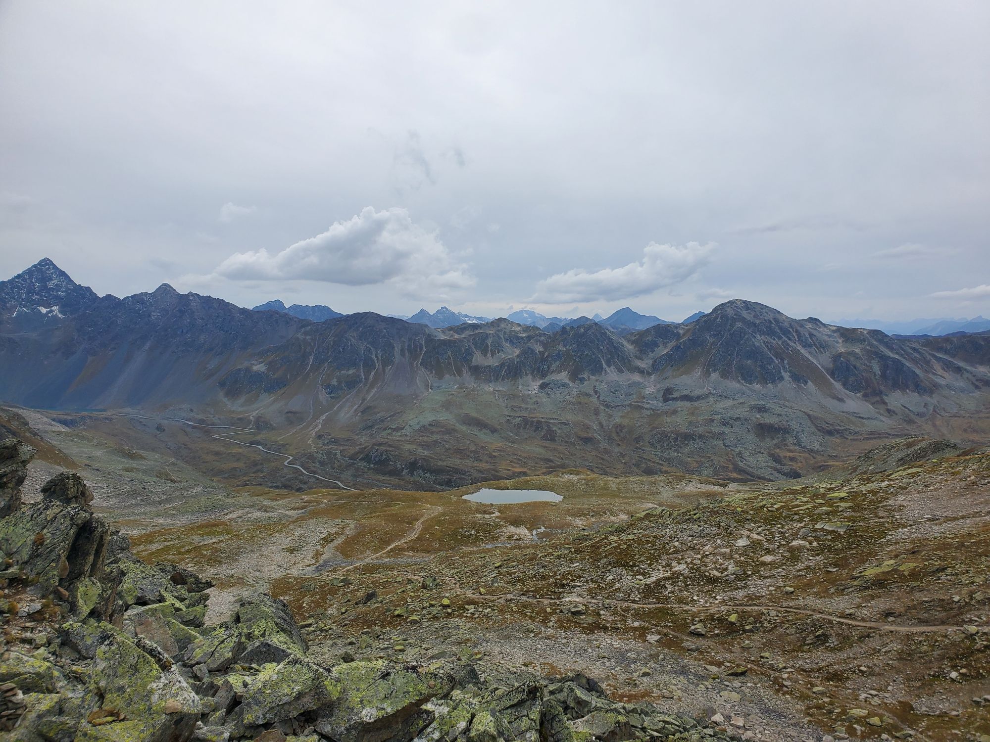
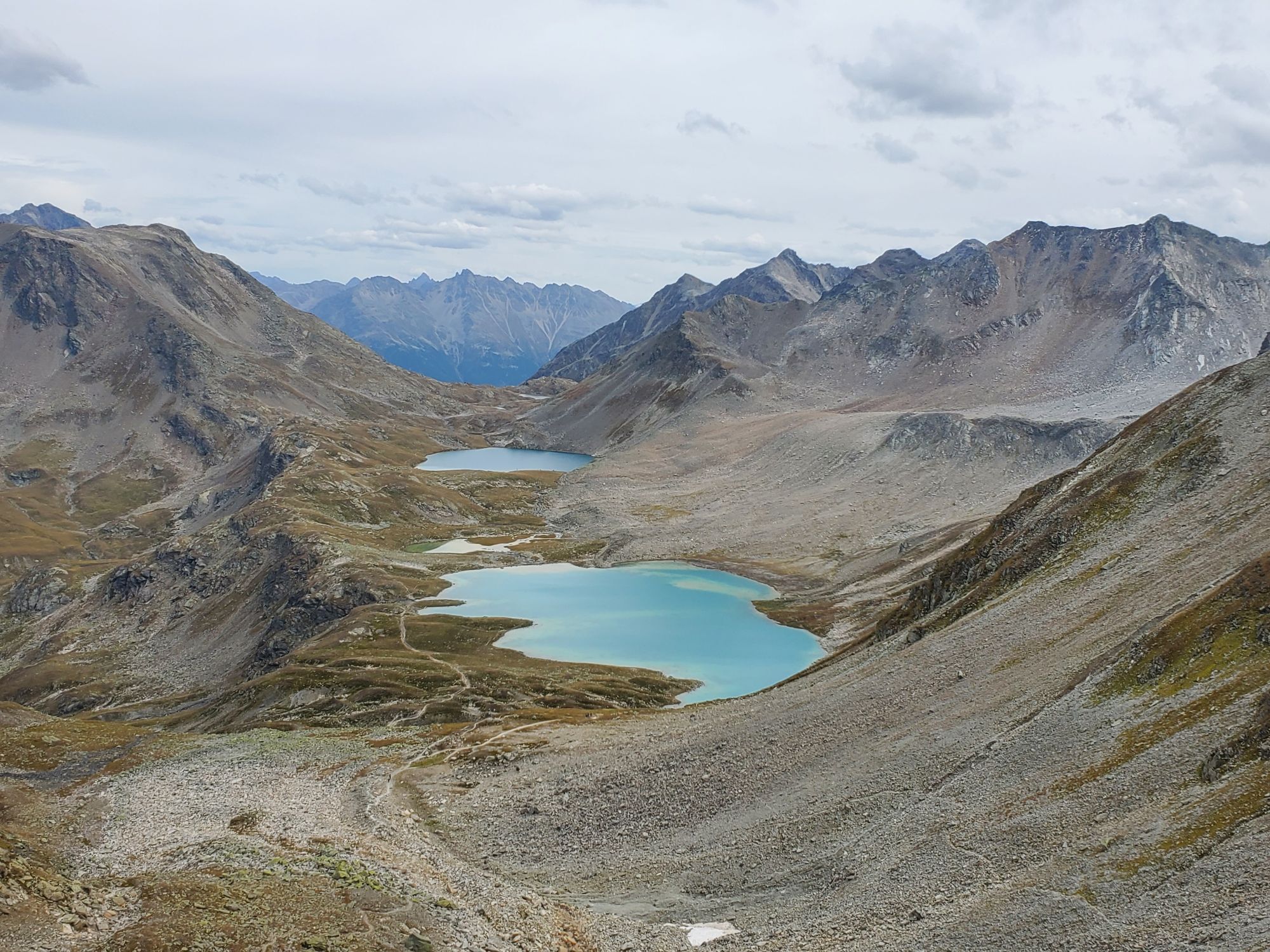
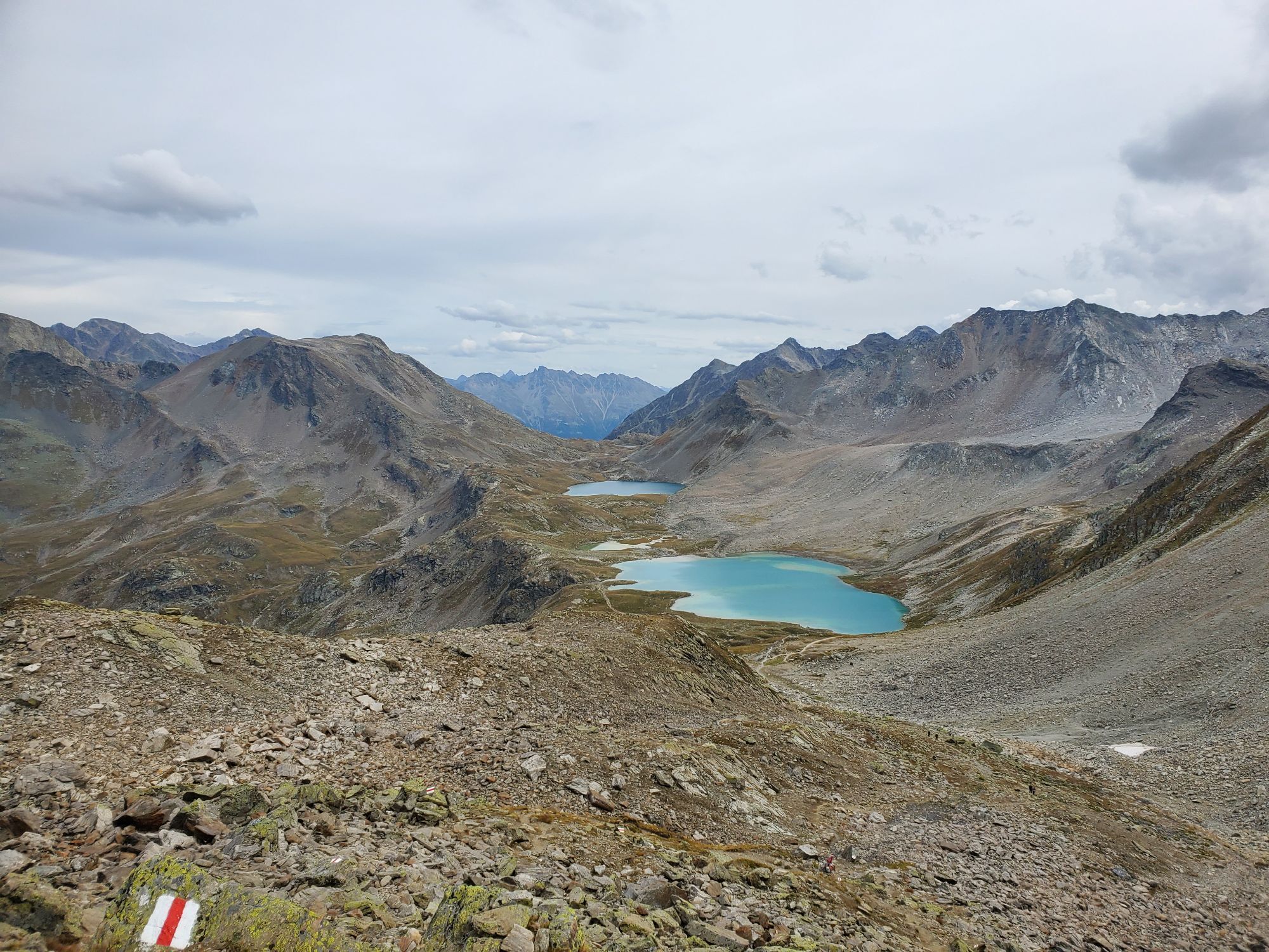
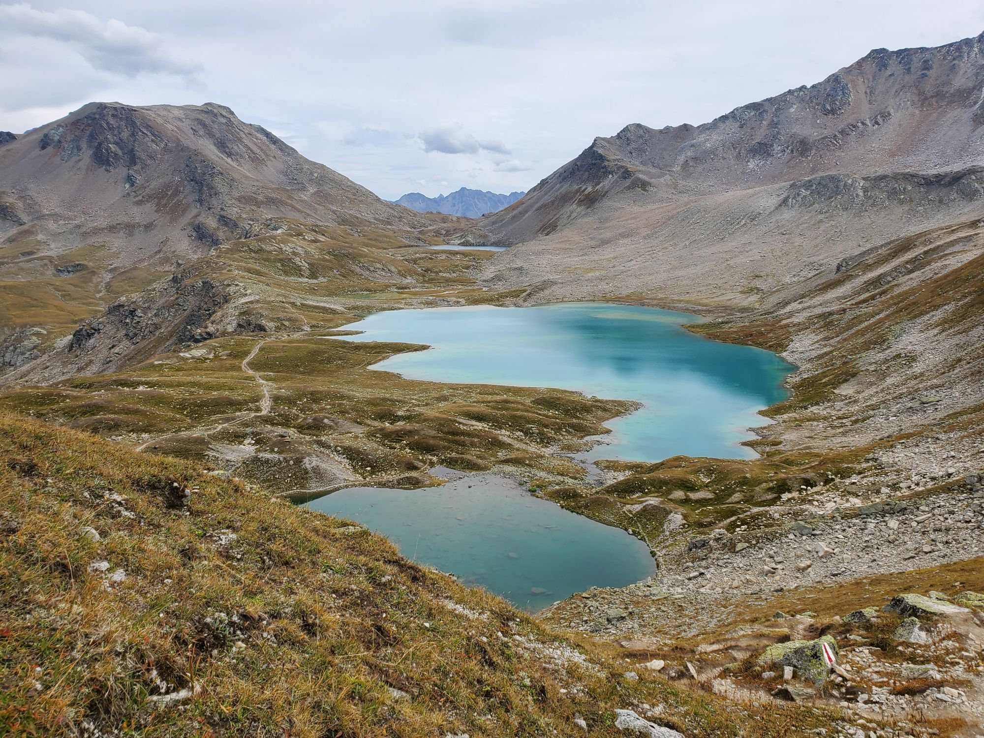
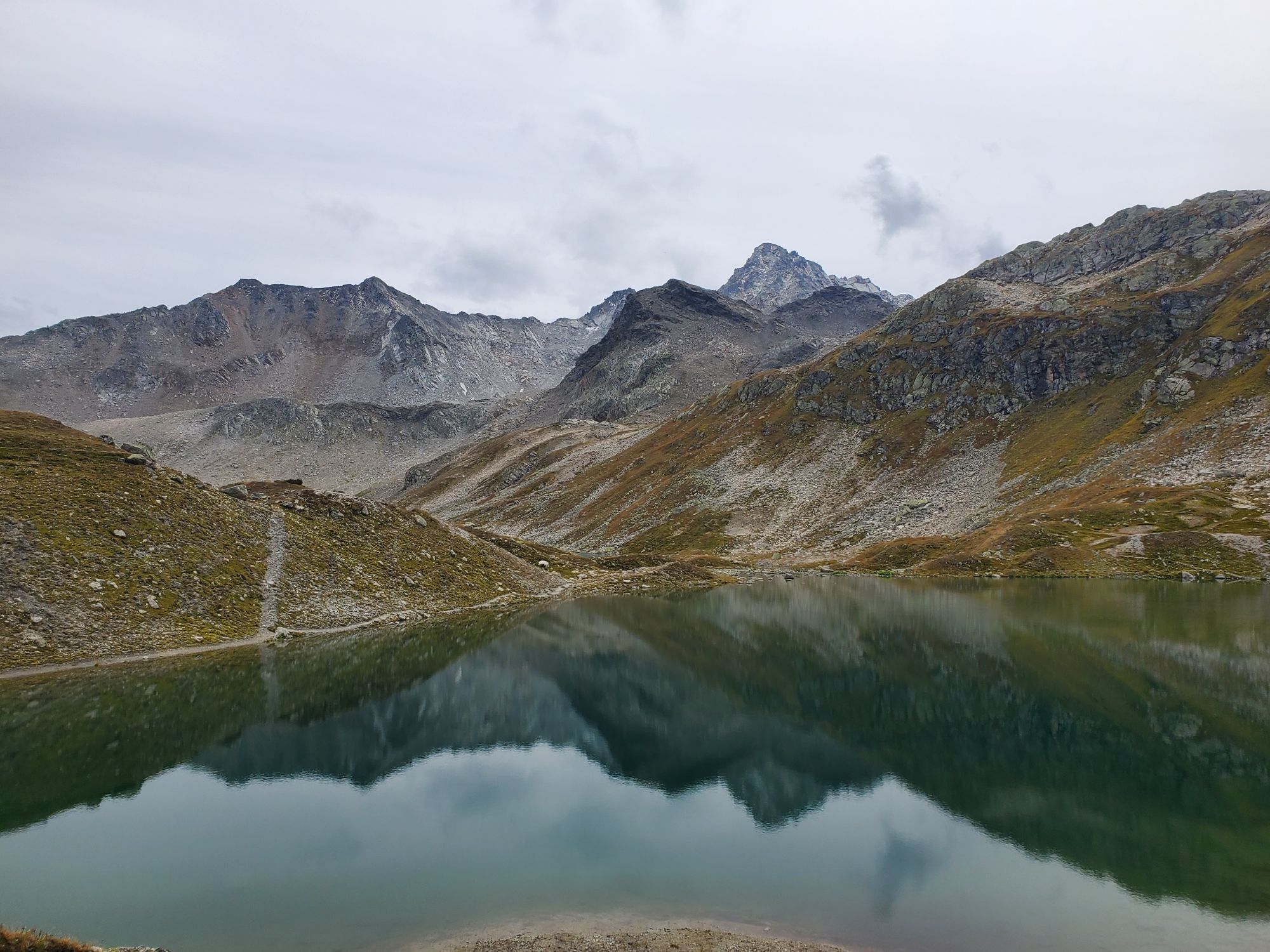
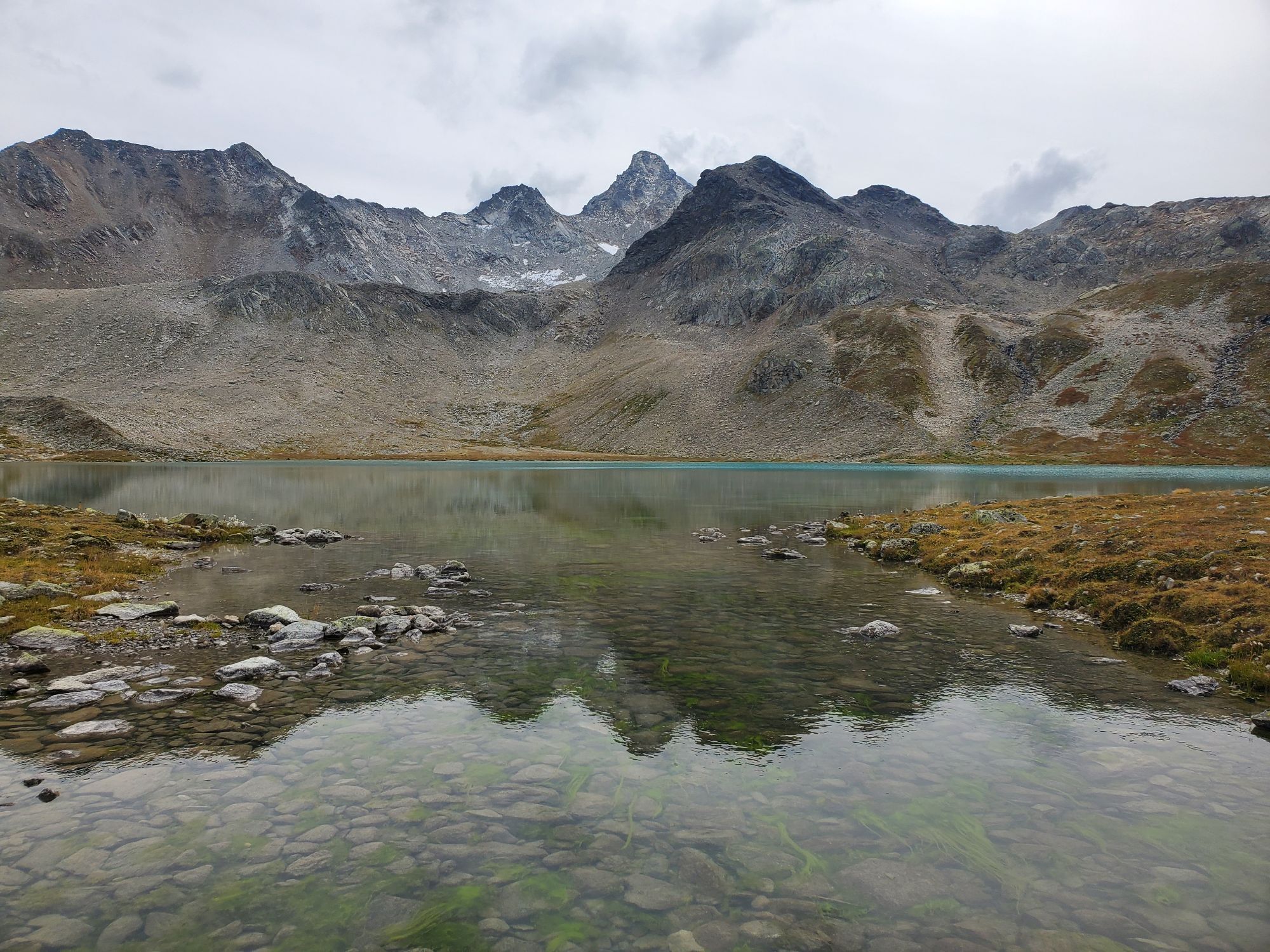
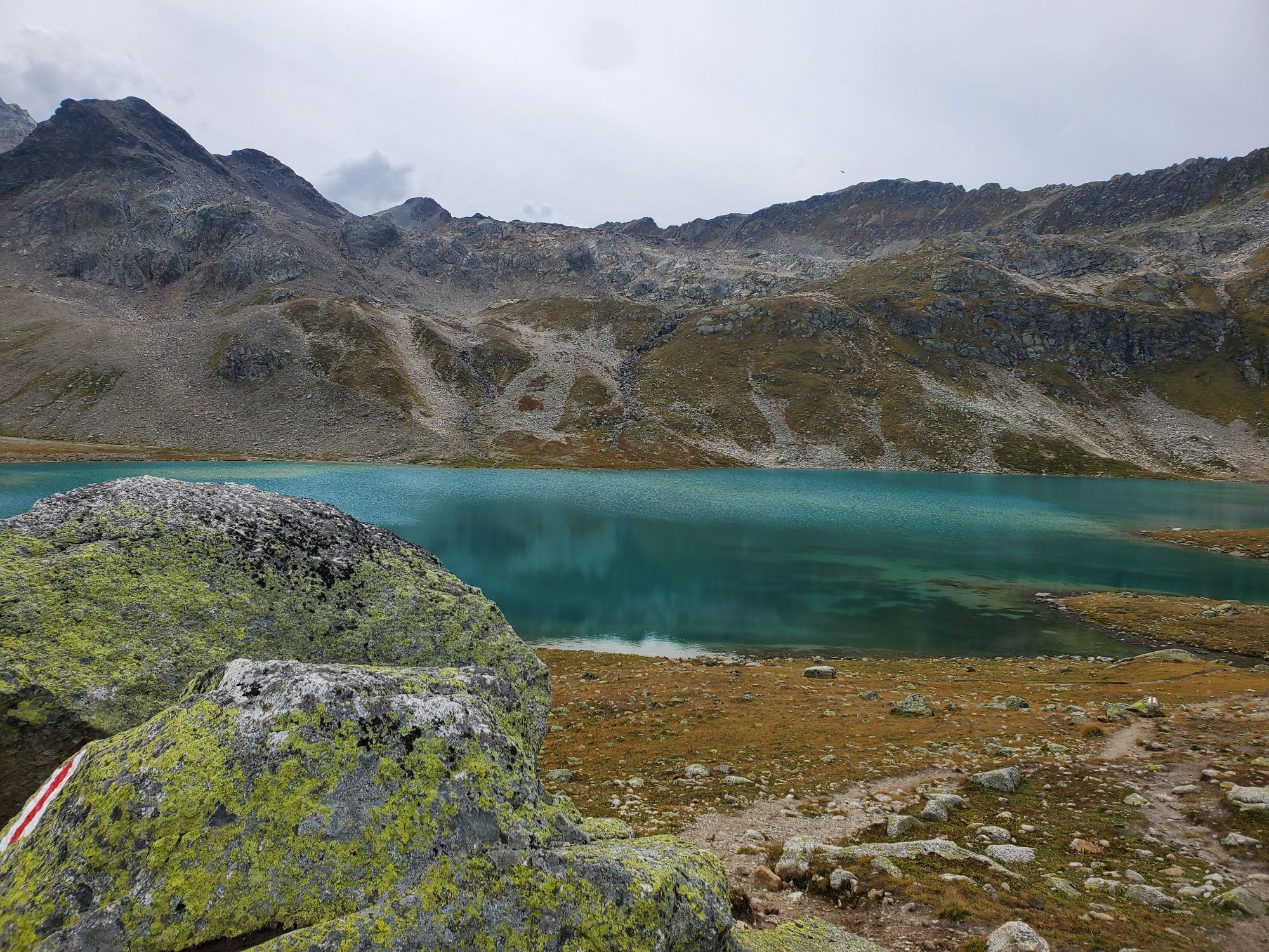
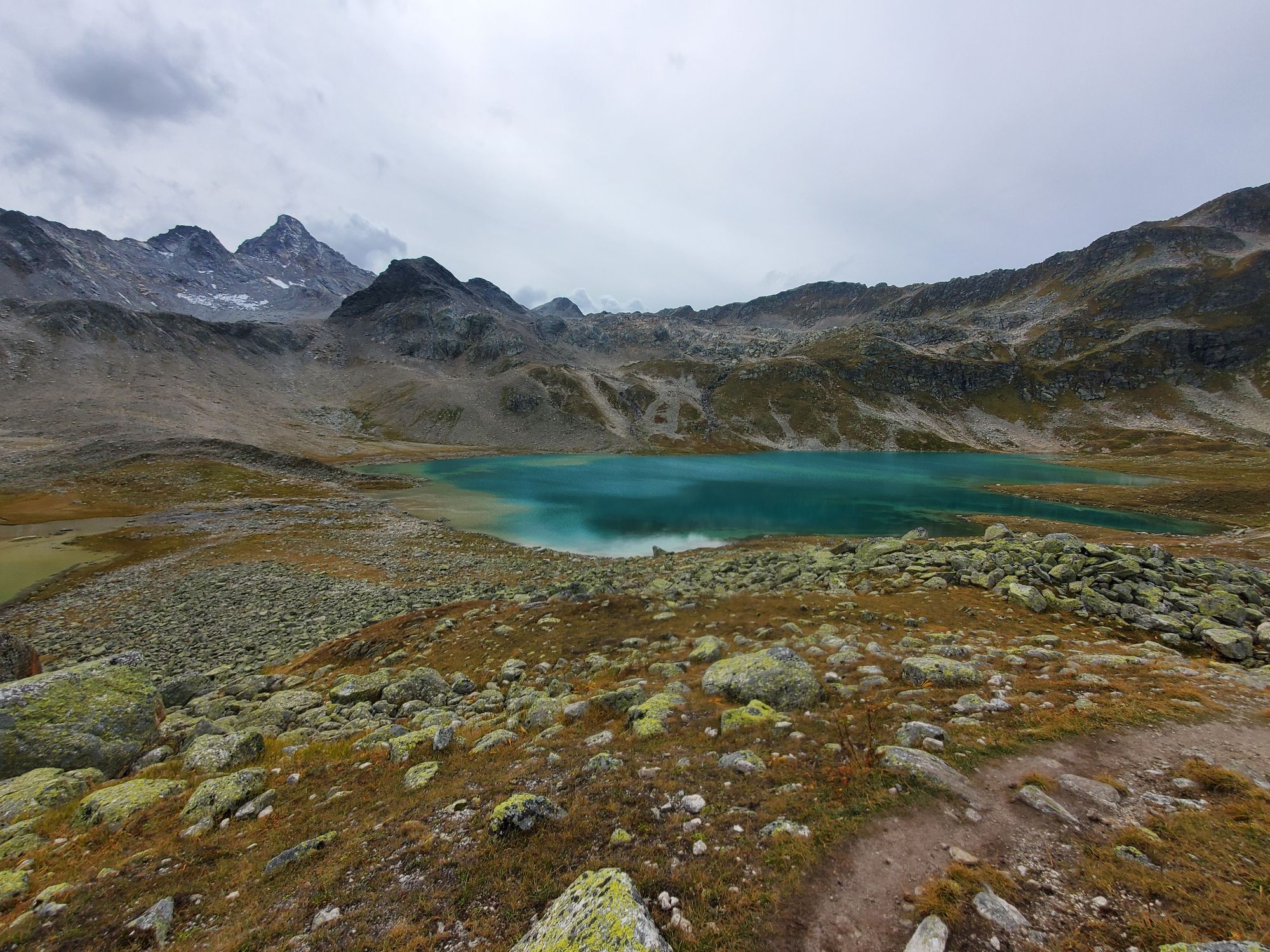
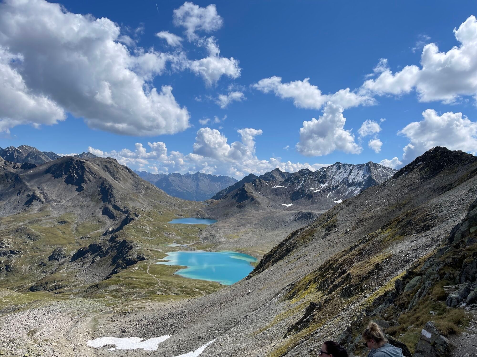
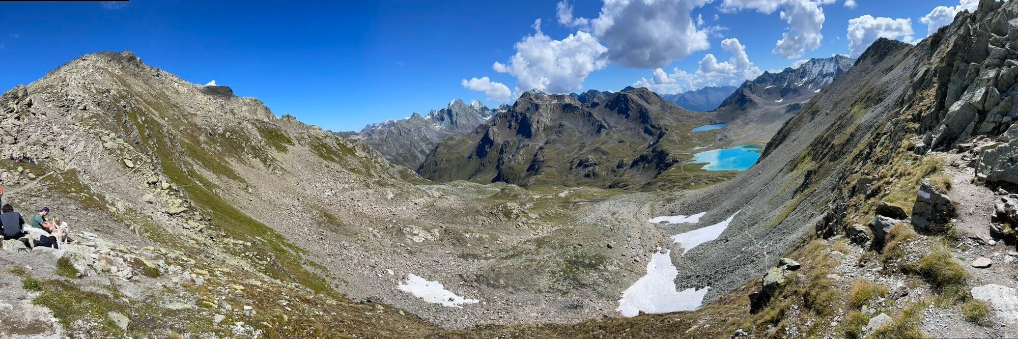
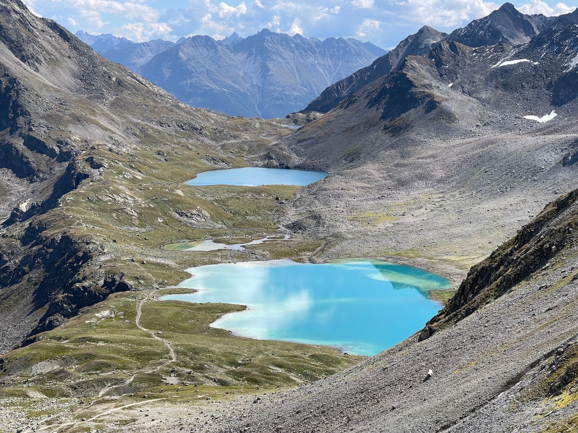
Now follow the mountain stream Aua da Fless for three kilometers to Alp Fless Dadaint. There the stream is crossed. The path passes the alp, ascending towards the Jörifless Pass. At the pass crossing, the first lakes become visible. Along the impressive Jöriseen you cross the high plateau, before another ascent to the Jörifluelafurgga pass follows. The highest point of the hike is now reached and the view back to the Jöriseen once again rewards the ascent. The approximately 500 meters descent to the Wägerhus at the Flüela Pass road remains to be conquered as a conclusion. The PostBus takes you back to Susch from the “Wägerhus” stop.
Alternatively, the first section to Prà Dadoura can be covered by PostBus.



Susch station
Before the bridge over Val Susasca, right parallel to the river uphill
Towards the Jöriseen signs
On the alpine path towards Nudigls
Via Nudigls onto the Panorama Trail
Three kilometers to Alp Fless Dadaint and over the stream
Towards Jörifless Pass, first lakes visible at the pass crossing
Across the high plateau
Ascent to the Jörifluelafurgga pass
Descent to the Wägerhus
Tak
Good footwear, rain and sun protection, drinking bottle, provisions, first aid kit
The route was rated under favorable weather conditions; current weather conditions and forecasts must be strictly observed before starting the hike. This hike requires basic alpine experience and orientation skills; hiking boots are recommended.
Emergency numbers:
144 Emergency call, first aid
1414 Mountain rescue REGA
112 International emergency call
From the north: via Landquart – Klosters by car transport through the Vereina tunnel (Selfranga - Sagliains) or via the Flüela Pass into the Lower Engadin on H27
From the east: via Landeck / Austria in direction of St. Moritz on H27
From the south: via Reschen Pass (Nauders-Martina) or Ofen Pass (Val Müstair-Zernez) on H27
Susch is located directly at the Flüela Pass and on the Engadin road H27 (5 minutes driving time from the Vereina south portal)
By the Rhaetian Railway (from Chur, Landquart/Prättigau, from Upper Engadin or from Scuol) hourly to Susch station
The first section of the route to the Susch, Röven stop can be shortened by PostBus
Paid parking spaces at the Susch station


Popularne wycieczki w okolicy
- 4,8
Hiking trail Piz Buin - view
średniWędrówka 14,4 km - 4,8
Jöriseen
średniWędrówka 11,3 km - 5,0
Großer Piz Buin (3.312m), Normalweg 2019 über Ochsentaler Gletscher
ciężkiWycieczka wysokogórska 24,1 km - 4,8
National park: Zernez – Munt Baselgia – Macun lakes – Alp Zeznina – Lavin
ciężkiWędrówka 22,9 km - 4,7
Fluela Schwarzhorn 3147 m
światłoWycieczka wysokogórska 7,34 km - 5,0
National Park: Chamanna Cluozza
średniWędrówka 8,37 km - 4,5
Piz Buin Gipfel
średniWycieczka wysokogórska 10,4 km Flüelapass – Schwarzhorn (return)
średniWędrówka 7,92 km- 5,0
National Park: Murtaröl
ciężkiWędrówka 15,6 km - 5,0
Guarda – Lai Blau – Chamonna Tuoi
średniWędrówka 11,0 km
Wędrówki i tropienie


Nie przegap ofert i inspiracji na następne wakacje
Twój adres e-mail została dodana do listy mailingowej.


