




Fuorcla da Patnaul (Patnaul Pass) 2773 m

Poziom trudności: T2
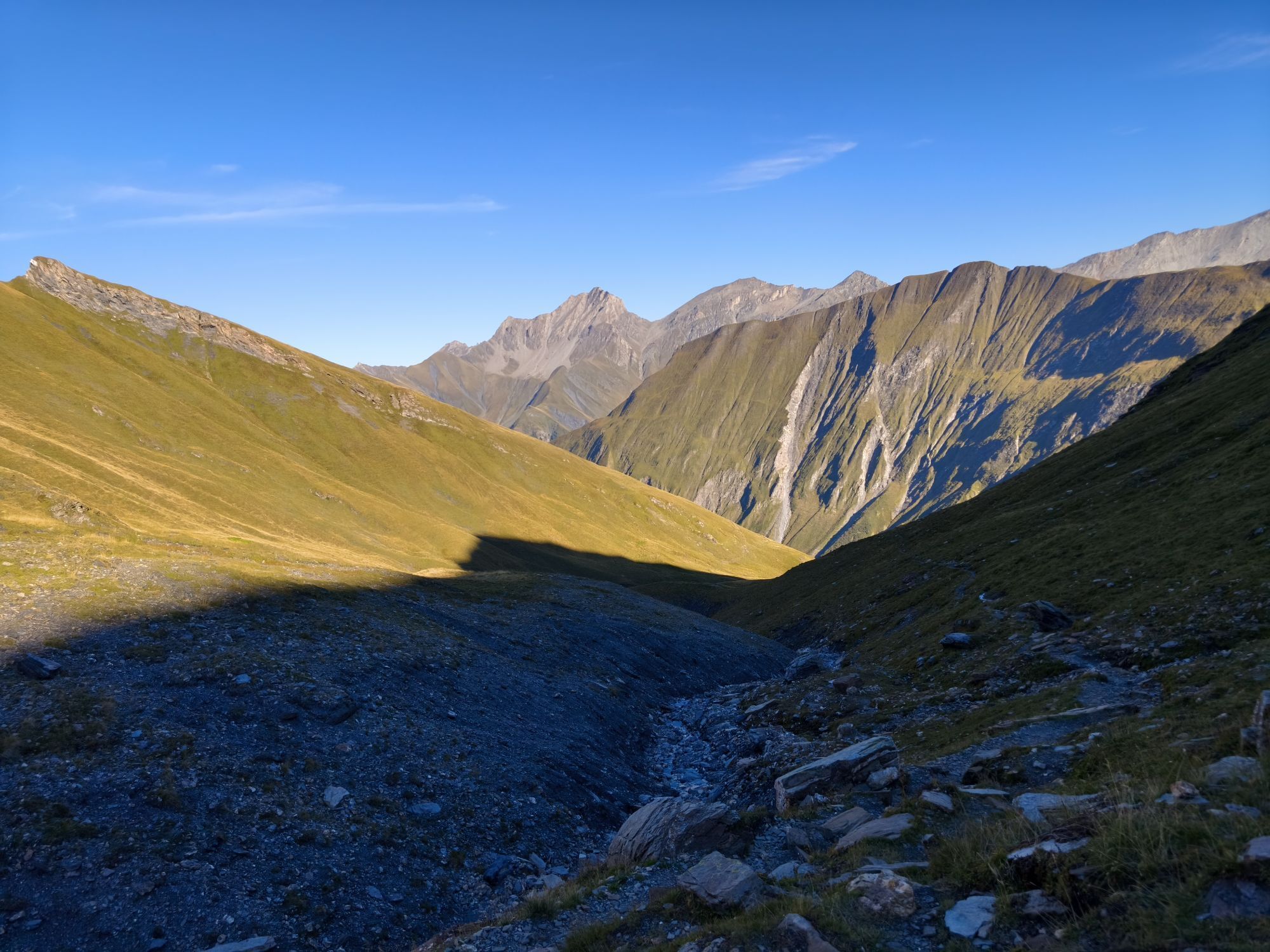
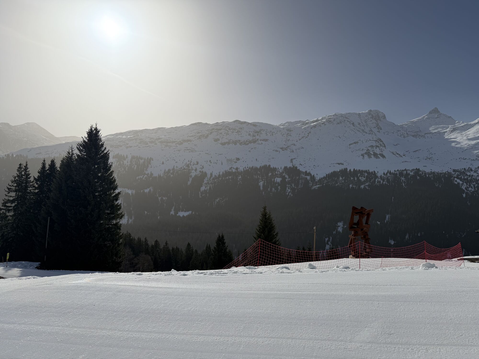
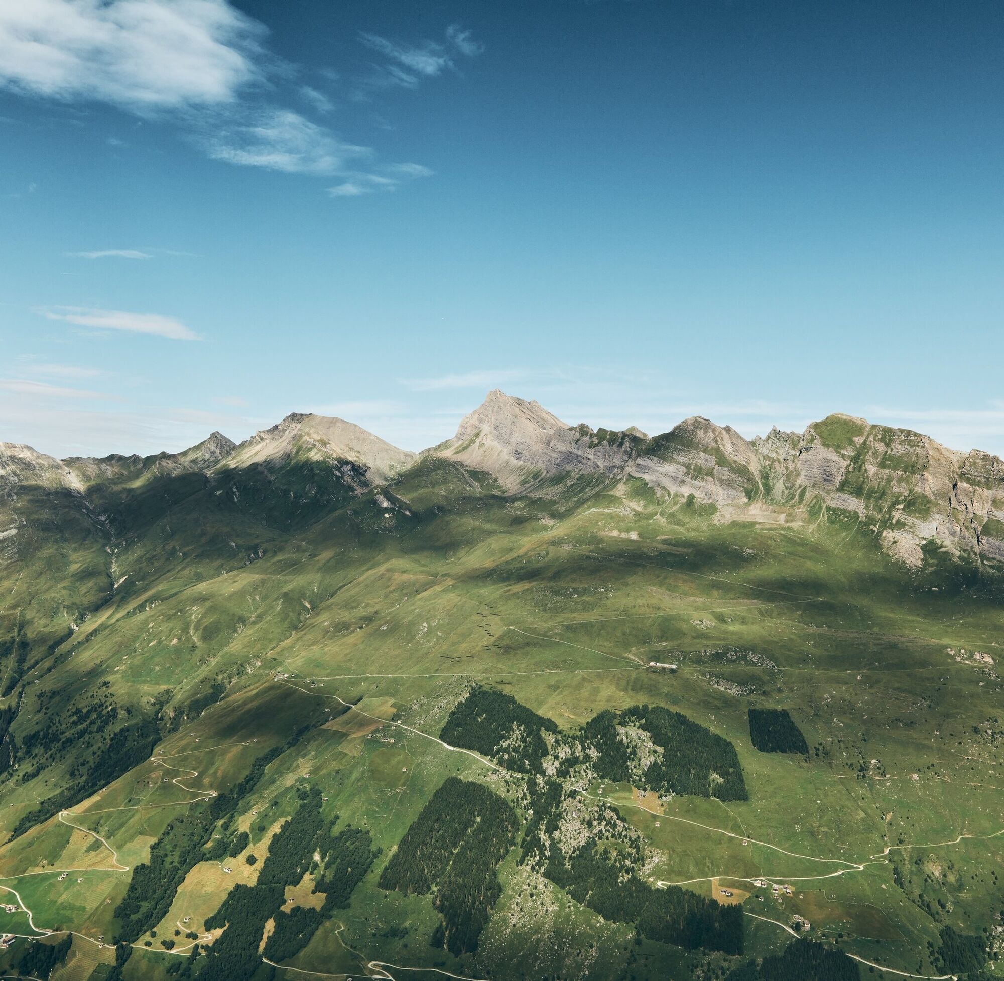
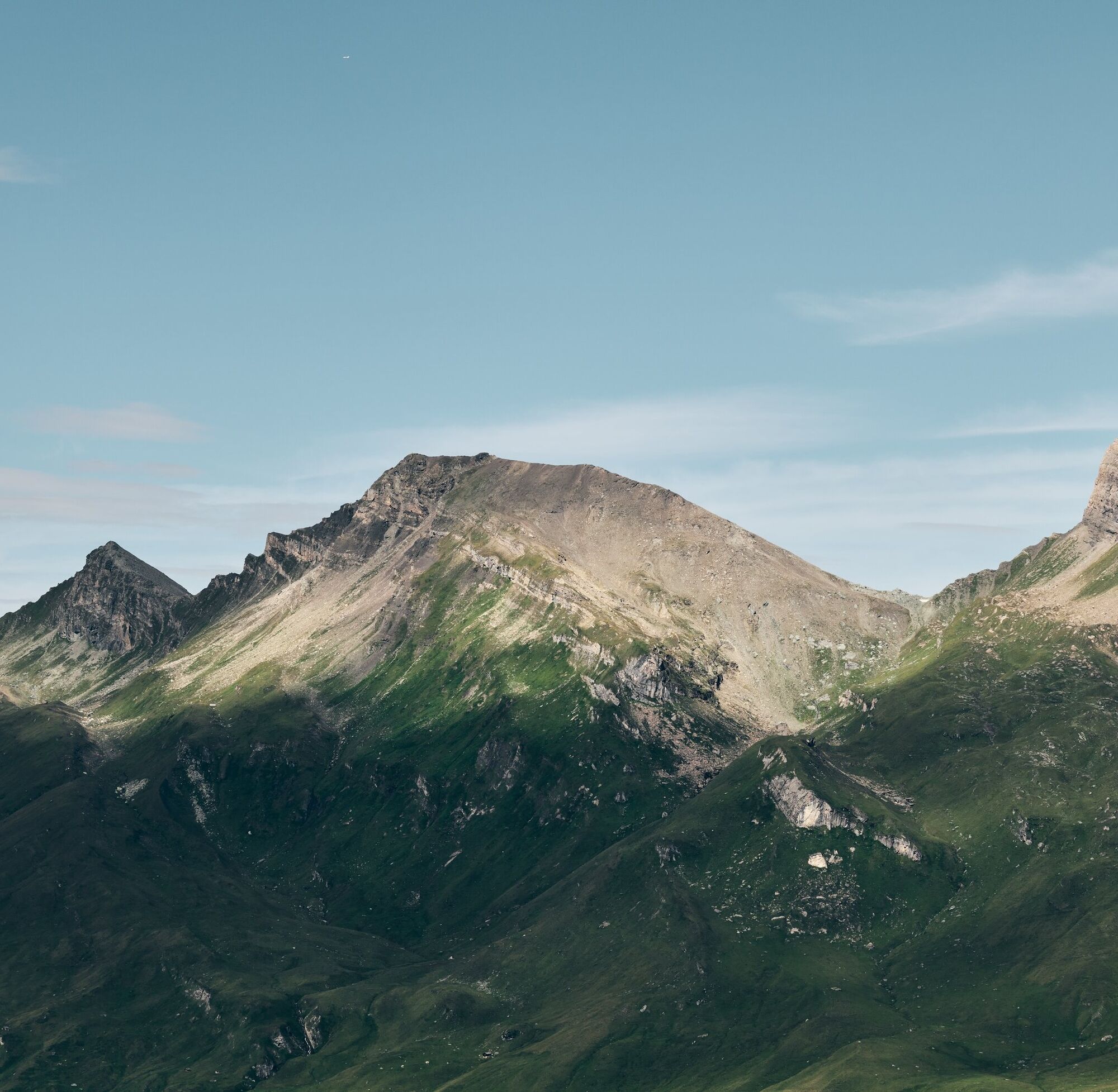
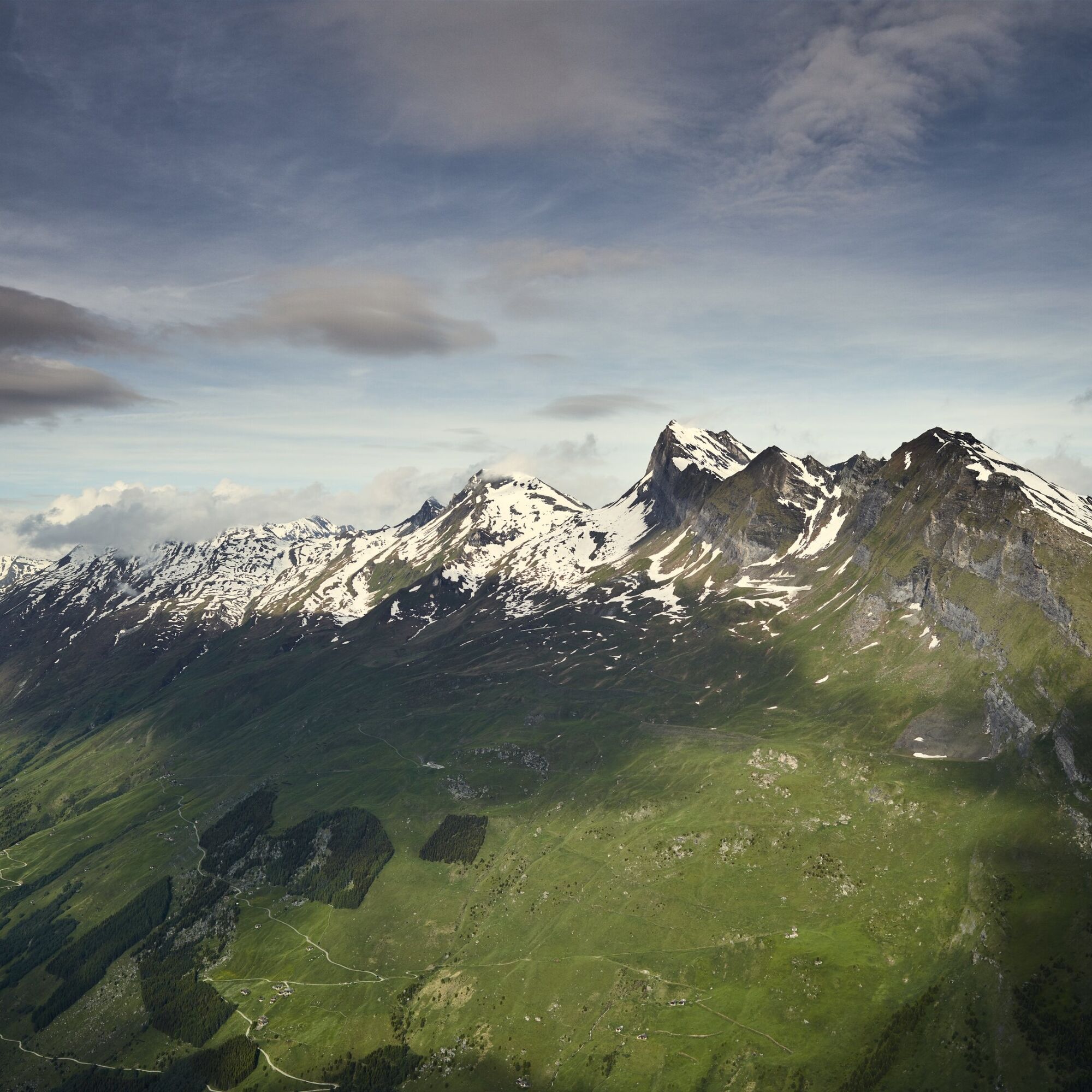
Impressive panorama (already at the height of Leisalp) of the mountains from east to southwest: Tomülhorn, Pizzas d'Anarosa, Hora, Guraletschhorn, Fanellahorn, and Güferhorn among others. Behind Leisalp,...
Impressive panorama (already at the height of Leisalp) of the mountains from east to southwest: Tomülhorn, Pizzas d'Anarosa, Hora, Guraletschhorn, Fanellahorn, and Güferhorn among others. Behind Leisalp, the striking walls of Piz Serenastga and Piz Aul "rise" into the sky.

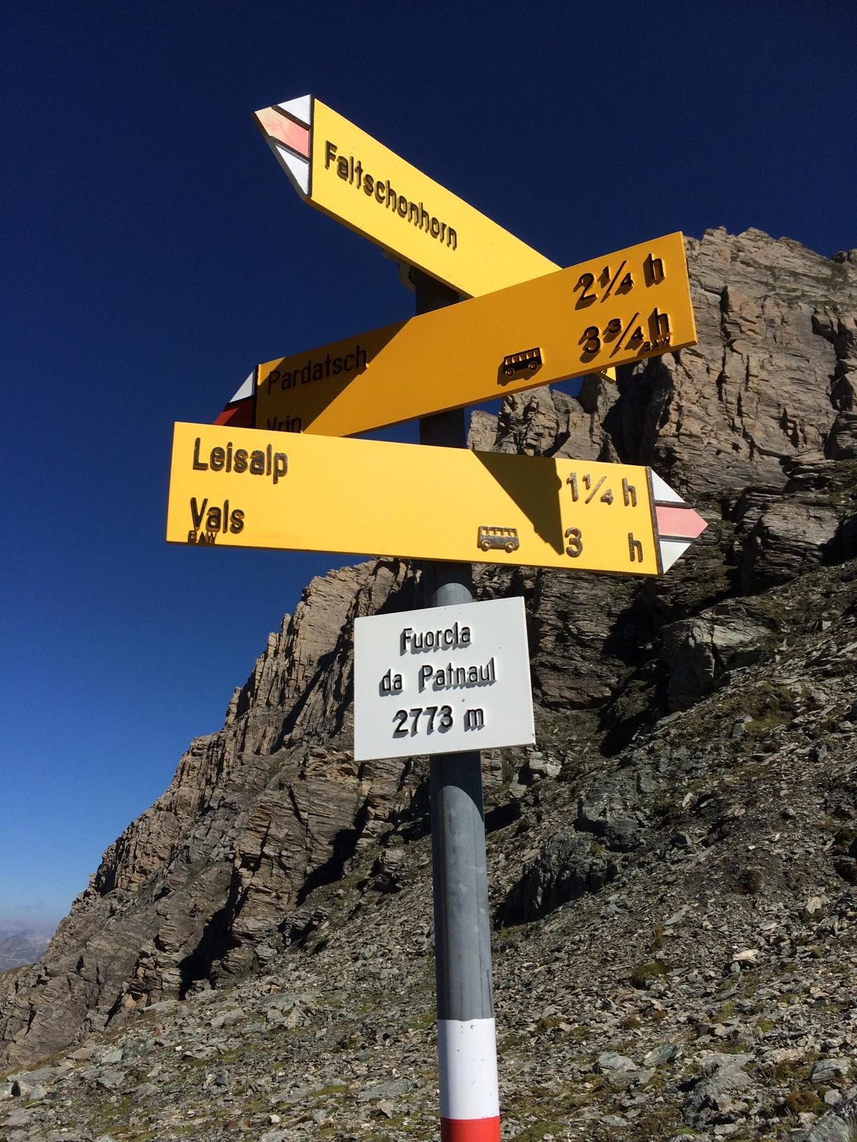

From Gadastatt (1800 m, top station of the gondola, mountain restaurant) follow the signpost in 30 minutes on a gently ascending mountain path to Stafelti (1930 m). From there, in another 30 minutes on the alpine road towards Leisalp (2051 m). From the alp, follow the markings and steadily gain altitude for 2 hours up to the 2773 m high Fuorcla da Patnaul. The descent to Vrin via Alp Patnaul-Pardatsch is quite steep and only suitable for experienced hikers.
The return is either on the same mountain pass path or by PostBus from Vrin to Ilanz, then change and take the PostBus back to Vals.
Tak
Tak
Solid, rainproof, warm clothing. Robust mountain or trekking shoes. Gloves, hat, sun protection. Hiking poles, food and drinks from the backpack, emergency first aid kit, topographic map, altimeter, compass, mobile phone, flashlight.
Technically easy route (T3) for good mountain hikers, requiring caution in wet, cold, and snowy conditions. The path is particularly steep in the area of Fuorcla da Patnaul (Vals and Vrin side) and therefore not recommended when wet.
On this hike, expect mother cows.
Detailed information on behavior: https://www.wandern.ch/de/wandern/sicher-unterwegs/mutterkuhherden
From Chur via Ilanz to Vals.
Coming by PostBus from Ilanz to Vals. Then by gondola of Sportbahnen Vals to Gadastatt (1800 m).
Alternative: By the Vals hiking bus to Leisalp (does not run daily). Information and registration: Tel. 081 935 16 49
Parking lot Sportbahnen Vals AG, Valé
T2
Fuorcla da Patnaul 2773m – route reports and photos [hikr.org]
The view from Leisalp to the opposite mountains and far into the neighboring valleys, partly to the Pizzas d'Anarosa, is overwhelming.

Popularne wycieczki w okolicy
- 5,0
Panorama route
światłoWędrówka 5,39 km - 5,0
2-day hike Greina high plateau
ciężkiWędrówka 15,5 km - 5,0
Hiking route Suspension Bridge Val da Tersnaus
średniWędrówka 3,24 km - 3,3
3-lake hike
średniWędrówka 12,8 km Giro della Greina
Wędrówka 50,6 kmPanoramic route between Piz Mundaun and Péz Sezner
średniWędrówka 6,75 km- 5,0
Winter hike Gadastatt - Frunt - Zerfreila (Panorama trail)
światłoWędrówka zimą 5,36 km - 4,5
Fanellhorn 3124 m
ciężkiWycieczka wysokogórska 6,86 km - 5,0
Southeast Switzerland Hiking Day Vals 2017
światłoWędrówka 11,8 km Furggelti 2712m
ciężkiWędrówka 18,7 km
Wędrówki i tropienie


Nie przegap ofert i inspiracji na następne wakacje
Twój adres e-mail została dodana do listy mailingowej.


