






Through the wild Schraubachtobel from Schiers to Schuders
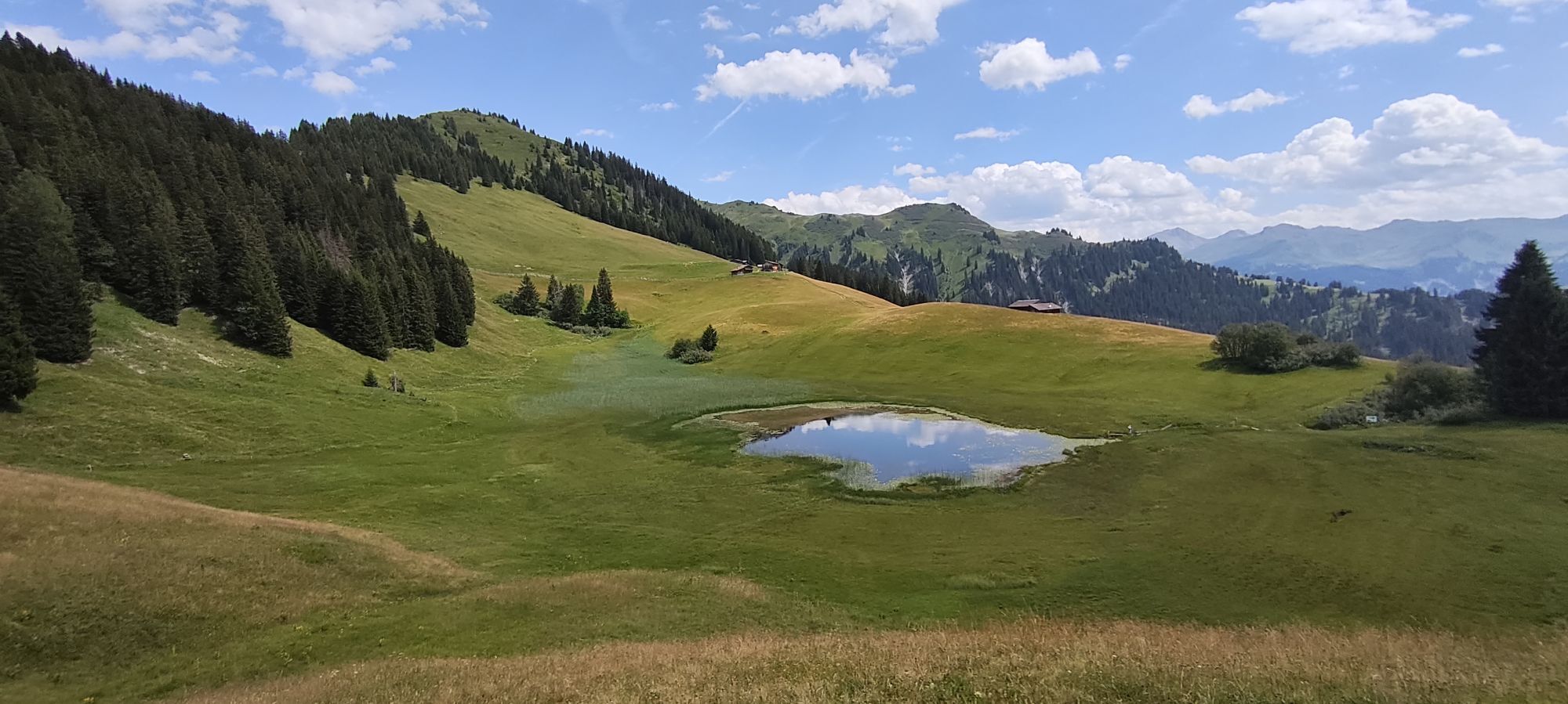
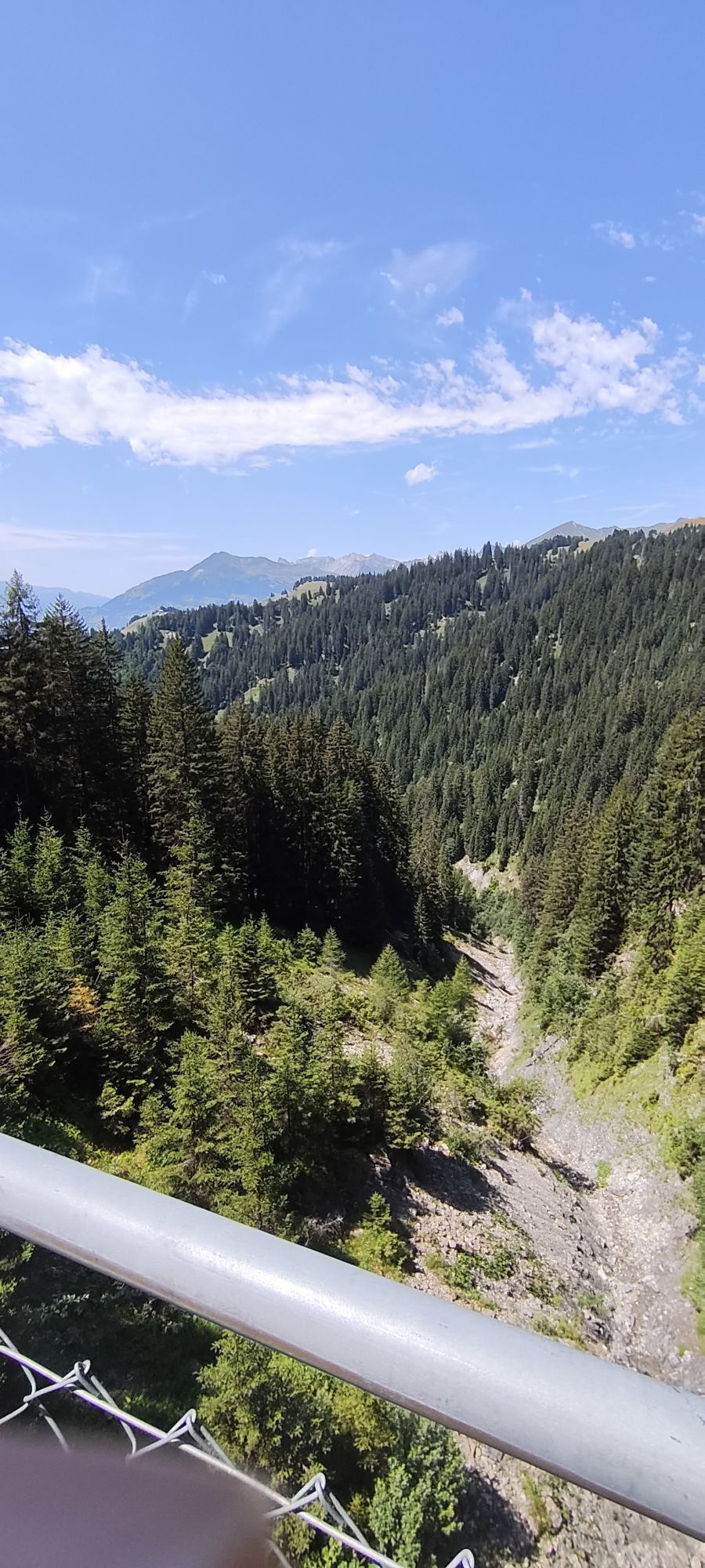
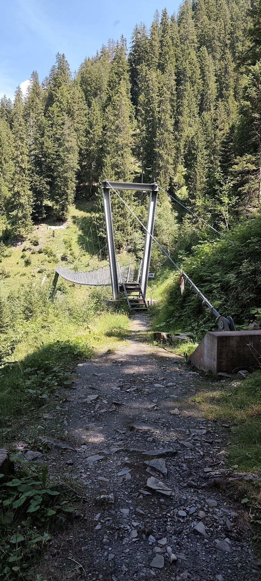
From Schiers train station, follow the signs towards "Rundweg Salginatobelbrücke". After the primary school building, turn left, passing the municipal depot and gravel works. The gravel road is still wide...
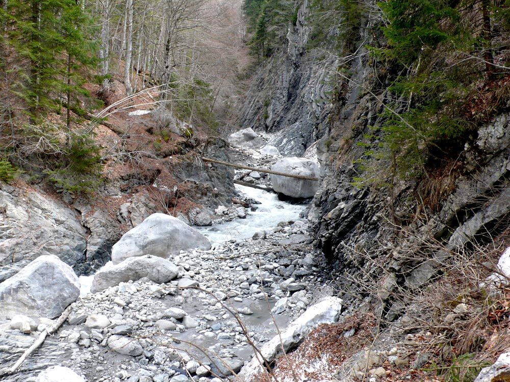
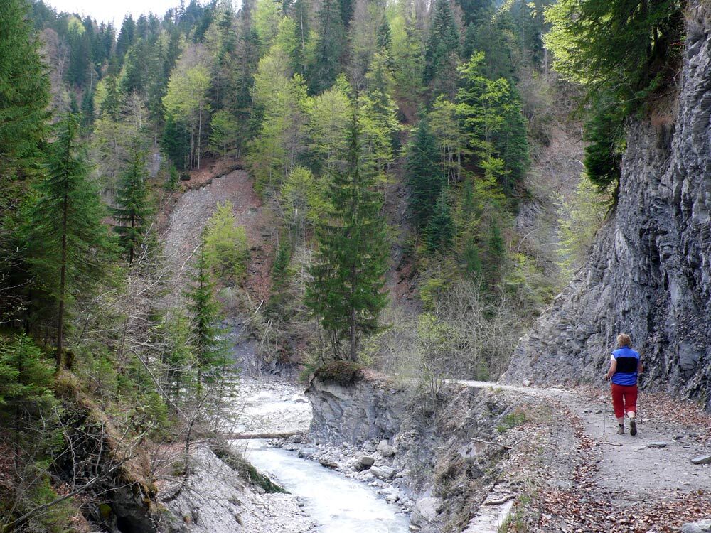
From Schiers train station, follow the signs towards "Rundweg Salginatobelbrücke". After the primary school building, turn left, passing the municipal depot and gravel works. The gravel road is still wide and is mainly used for timber transport and as an alpine access road. At the Chalchofen hut, the circular route to the Salginatobel Bridge branches off to the left. We comfortably continue hiking along the stream and after the last large construction reach the widest part of the Schraubach. Here it constantly changes its bed and pushes the most diverse stones to the edge. After heavy rainfall, the track often needs repairs. Children and adults look for the most beautiful driftwood parts, others cool their feet in the streambed or grill a sausage.
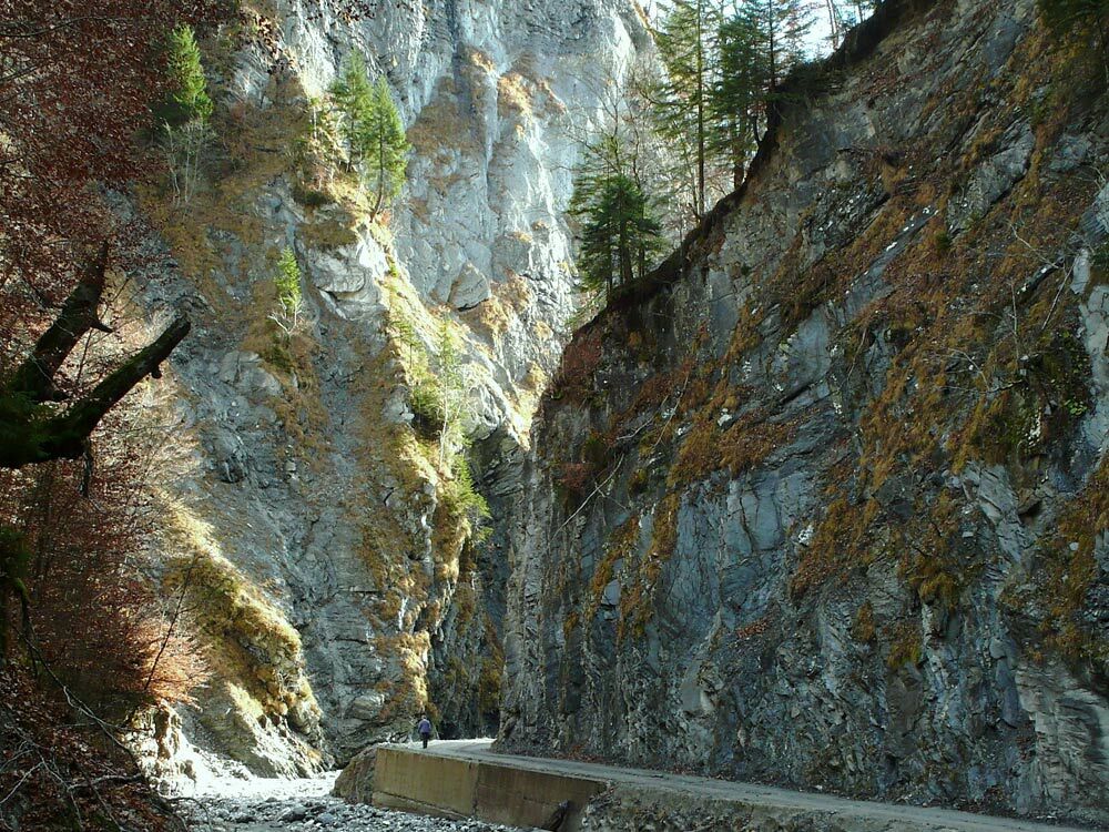
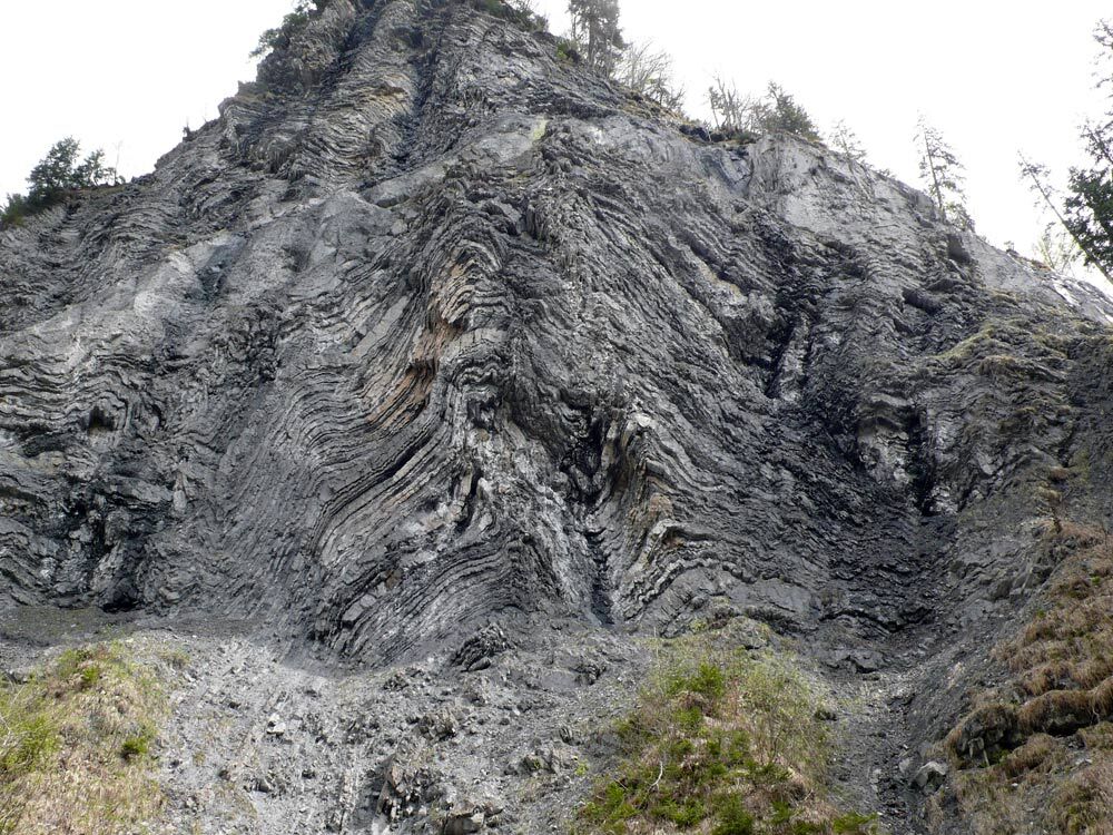
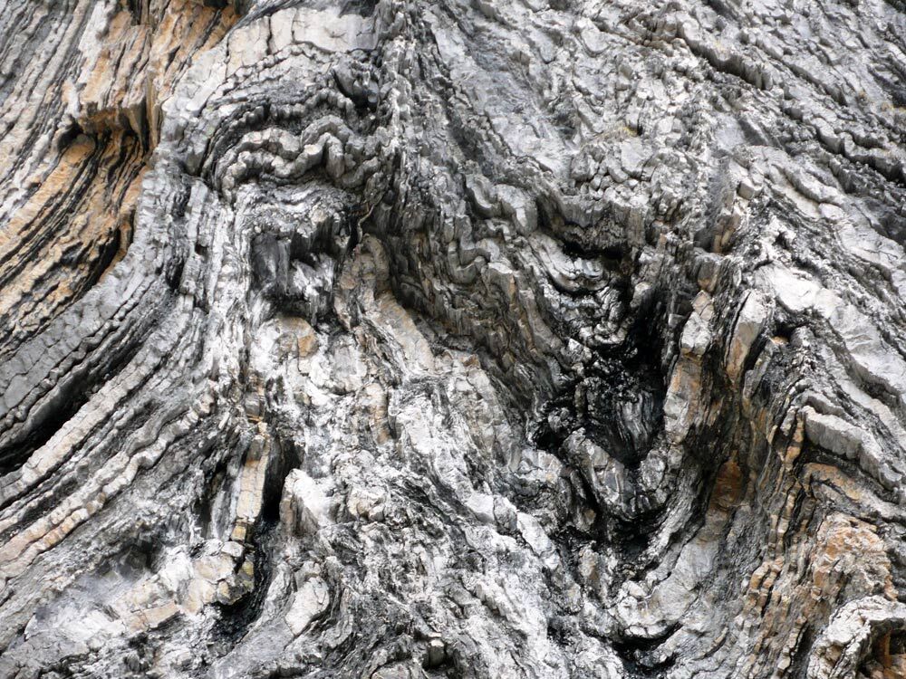
After the more than 1 km stretch through the widest part of the ravine, turn left at the stream fork "Gross Scheri" into a spectacular narrow section: steep rock walls and gravel crevices ascend on both sides. Interesting rock formations provide insights into the Alpine folding.
Further downstream, a picnic spot invites you to linger. Shortly before the old sawmill, the path to Schuders branches off to the left and immediately climbs steeply. The approximately 200 meters of altitude are mostly covered in the shade on a pleasant forest path. The reward awaits hikers in the mountain village of Schuders: a panoramic view of the limestone walls of the Rätikon as well as fine food and drinks at the mountain inn "Alte Post". The return to Schiers can conveniently be done by post bus (few services, see https://www.sbb.ch/) or on foot (mostly on the steep mountain road). Along the way you pass the famous Salginatobel Bridge.
Note: Due to a landslide, part of the original path is closed and a detour for the described route has been established from about the waypoint below the Hellstutz Bridge. One now hikes via Valmara to Schuders, the detour is signposted. Please note that the indicated route length, altitude meters, and walking time are no longer current.


Tak
Tak
Caution is advised during snowmelt as well as during announced thunderstorms and floods. The sign "Tobelstrasse gesperrt" near the gravel plant refers to the passability for authorized motor vehicles. After flooding, parts of the track above the last barrier may be washed away.
Motorway A13 to Landquart, expressway A28 to Schiers.
By the Rhaetian Railway (RhB) to Schiers.
Paid parking at Schiers train station and on Dorfstrasse below the primary school building.
Prättigau Marketing
Feldweg 19
CH-7233 Jenaz
Tel. +41 (0)81 325 11 11
info@praettigau.info
www.praettigau.info
For children and the young at heart, the Schraubachtobel is a true "adventure playground" – firewood can be found in the dry streambed. At the Chalchofen hut there is a nice fire pit, another picnic spot is located about 1 km before the turnoff to Schuders.

Kamery internetowe z trasy
Uzyskaj wgląd
Zawsze na żywo z ponad 9 500 kamer internetowych. bergfex Jako użytkownik Pro, możesz teraz zobaczyć odpowiednie kamery internetowe dla wielu wycieczek w aplikacji wycieczki od. Pozwala to na bezpośredni podgląd aktualnych warunków.
Popularne wycieczki w okolicy
-
5,0
Ski tour to the Lindauer Hut (1,744 m)
światłoWycieczka narciarska 14,0 km -
4,8
Smuggler’s path
średniTrasa tematyczna 8,60 km -
4,4
Golm-Rundwanderweg im Rätikon
średniTrasa tematyczna 7,28 km -
4,9
Douglasshütte, Lünersee, Gafalljoch Brand bei Bludenz, Vorarlberg
światłoWędrówka 9,16 km -
4,9
Douglashütte - Schesaplana
średniWędrówka 7,31 km -
4,3
Golmerbahn Bergstaion Grüneck - Golmer Höhenweg - Geißspitze - Lindauer Hütte - Latschau
średniWędrówka 11,5 km -
3,7
Fürstin-Gina-Weg
Wędrówka 10,7 km -
3,0
Bergstation Grüneck Golmerbahn - Alpe Latschätz - Lindauer Hütte - Latschau
światłoWędrówka 11,1 km -
4,9
Schesaplana
średniWycieczka wysokogórska 5,26 km -
3,3
Wanderbares Zalimtal
średniWędrówka 12,2 km
Wędrówki i tropienie


Nie przegap ofert i inspiracji na następne wakacje
Twój adres e-mail została dodana do listy mailingowej.





