


Circular hike through the moor landscapes of St. Antönien
In the Walser village of St. Antönien at the Platz stop, you can refresh yourself before the ascent in the two hotel restaurants. Head uphill along Schwendistrasse towards Stels/Salfsch until the Michelschhofstrasse...
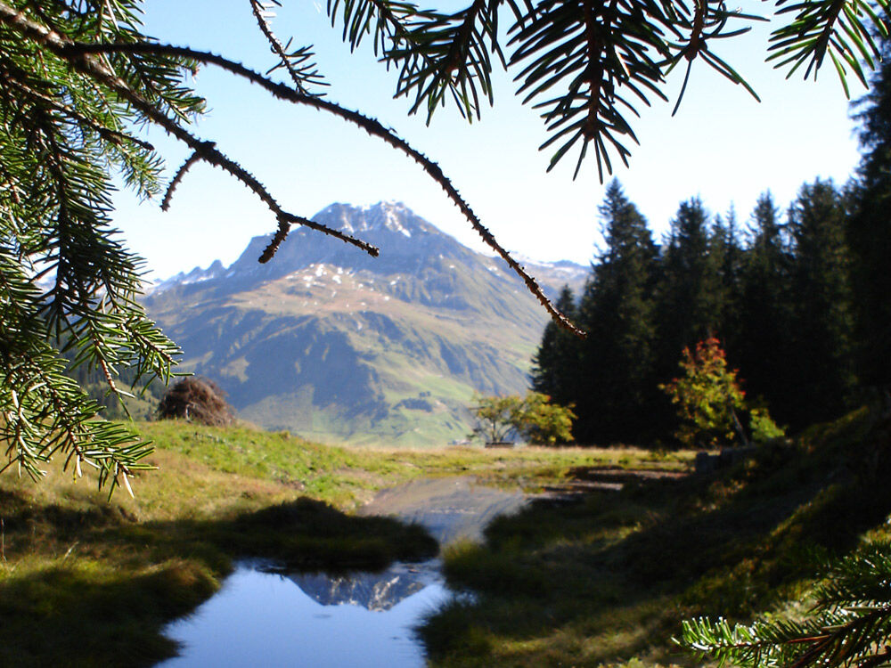
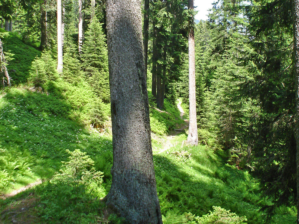
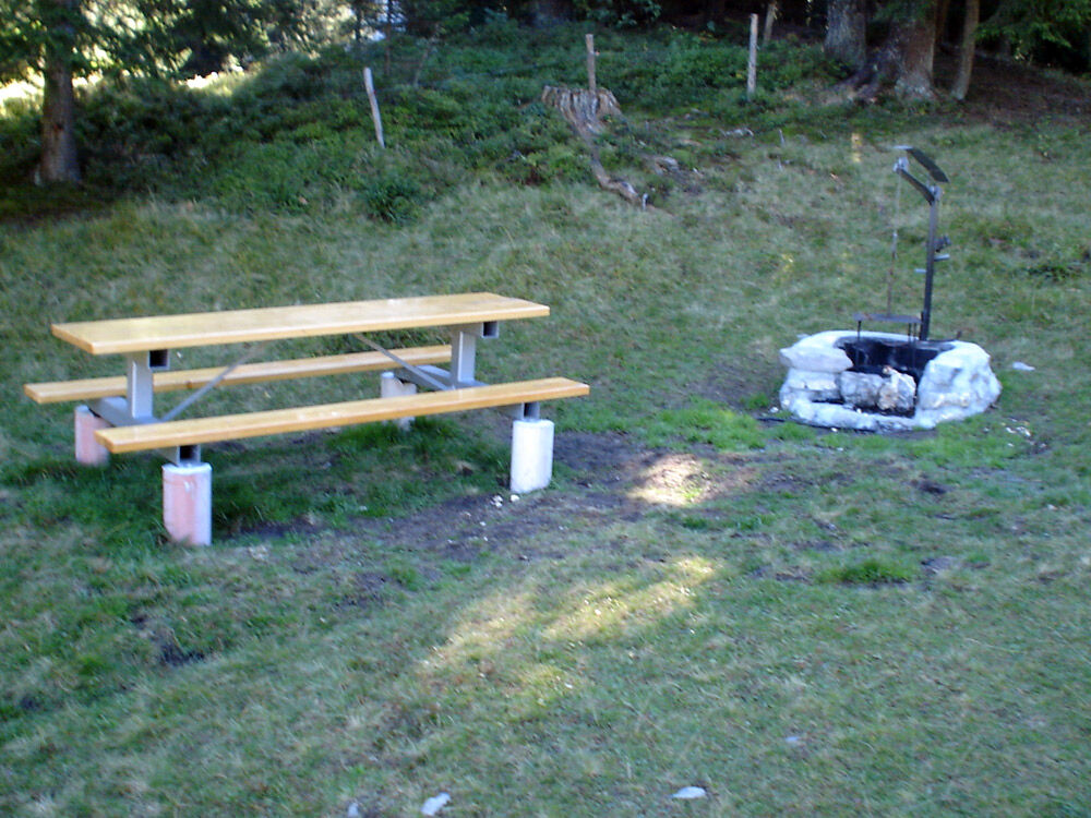
In the Walser village of St. Antönien at the Platz stop, you can refresh yourself before the ascent in the two hotel restaurants. Head uphill along Schwendistrasse towards Stels/Salfsch until the Michelschhofstrasse junction. Then turn left and follow the road slightly uphill to Aschüel. At Aschüel, veer slightly left towards Valpun, branching off to Stels. At the «Soppaseeli» you will find a nice barbecue area. The path then leads further over the first swamp area into the forest. Follow the Holzerweg on your left and continue briskly along the root-strewn hiking trail. Light spruce forest lined with ferns and blueberry bushes borders the path. At Grossried, you leave the cool forest and step out onto the Grossried plain. Keep right and cross the Grossried, then follow the hiking trail towards St. Antönien. Over the wooden bridges that cross the marsh back to the «Soppaseeli» and return along the same path to St. Antönien.

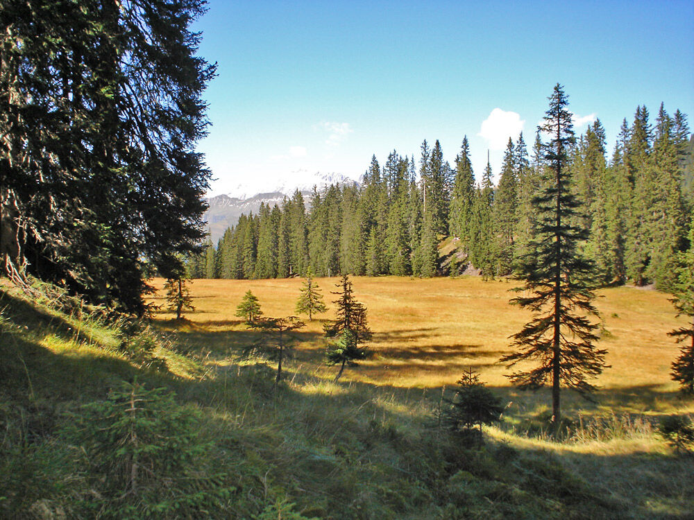
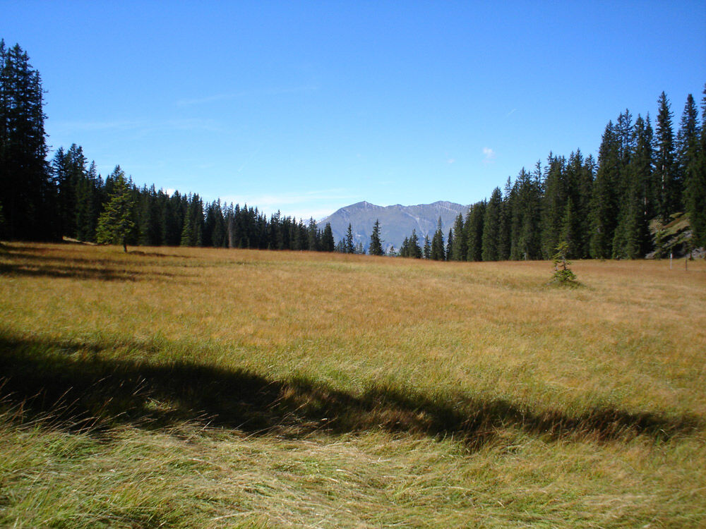
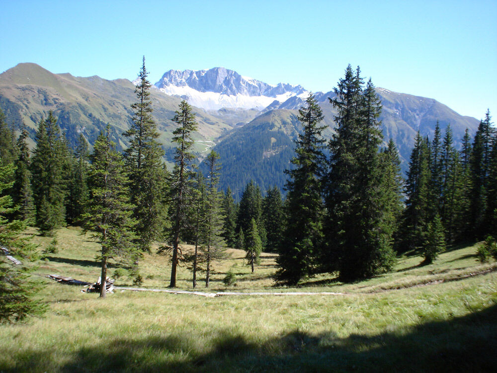
St. Antönien Platz 1420 m - Aschüel 1610 m - Soppen - Grossried 1750 m - Lengried 1695 m - Soppen - Aschüel - St. Antönien
The path follows the hiking trail marking "white-red-white" and is not specially marked.
On the A13 and B28 up to the tunnel near Küblis, take the exit Conters/Küblis to the right, go straight ahead at the roundabout, then turn left towards Luzein, Pany, St. Antönien.
By the Rhaetian Railway RhB to Schiers or Küblis and by post bus to St. Antönien. (Timetable 90.218 or 90.222).
All parking lots in St. Antönien are chargeable. Payment can be made in cash, via the Parkingpay app, or with Twint. The P2 parking lot is located in the village center, slightly above the church.
Pany-St. Antönien Tourism
Panyerstrasse 39
CH-7243 Pany
Tel. +41 81 300 32 22
info@pany-stantoenien.ch
www.pany-stantoenien.ch
Prättigau Marketing
Feldweg 19
CH-7233 Jenaz
Tel. +41 (0)81 325 11 11
info@praettigau.info
www.praettigau.info
Anyone feeling like it (and especially those who arrived by public transport) has the opportunity to rent trottinettes at the mountain guesthouse Michelshof and ride down to Küblis (about 1 hour) or Schiers (about 2 hours).

Popularne wycieczki w okolicy
-
5,0
Ski tour to the Lindauer Hut (1,744 m)
światłoWycieczka narciarska 14,0 km -
4,7
Smuggler’s path
średniTrasa tematyczna 8,60 km -
4,4
Golm-Rundwanderweg im Rätikon
średniTrasa tematyczna 7,28 km -
4,2
Golmerbahn Bergstaion Grüneck - Golmer Höhenweg - Geißspitze - Lindauer Hütte - Latschau
średniWędrówka 11,5 km -
4,4
Madrisella summit path
średniTrasa tematyczna 10,8 km -
5,0
Douglasshütte, Lünersee, Gafalljoch Brand bei Bludenz, Vorarlberg
światłoWędrówka 9,16 km -
3,0
Bergstation Grüneck Golmerbahn - Alpe Latschätz - Lindauer Hütte - Latschau
światłoWędrówka 11,1 km -
4,7
Douglashütte - Schesaplana
średniWędrówka 7,31 km -
5,0
Around the Kirchlispitzen (2,552 m)
ciężkiWędrówka 14,8 km -
3,5
Golmer Höhenweg
średniWędrówka 13,8 km

Wędrówki i tropienie


Nie przegap ofert i inspiracji na następne wakacje
Twój adres e-mail została dodana do listy mailingowej.