







Furna: hike across Furna mountain
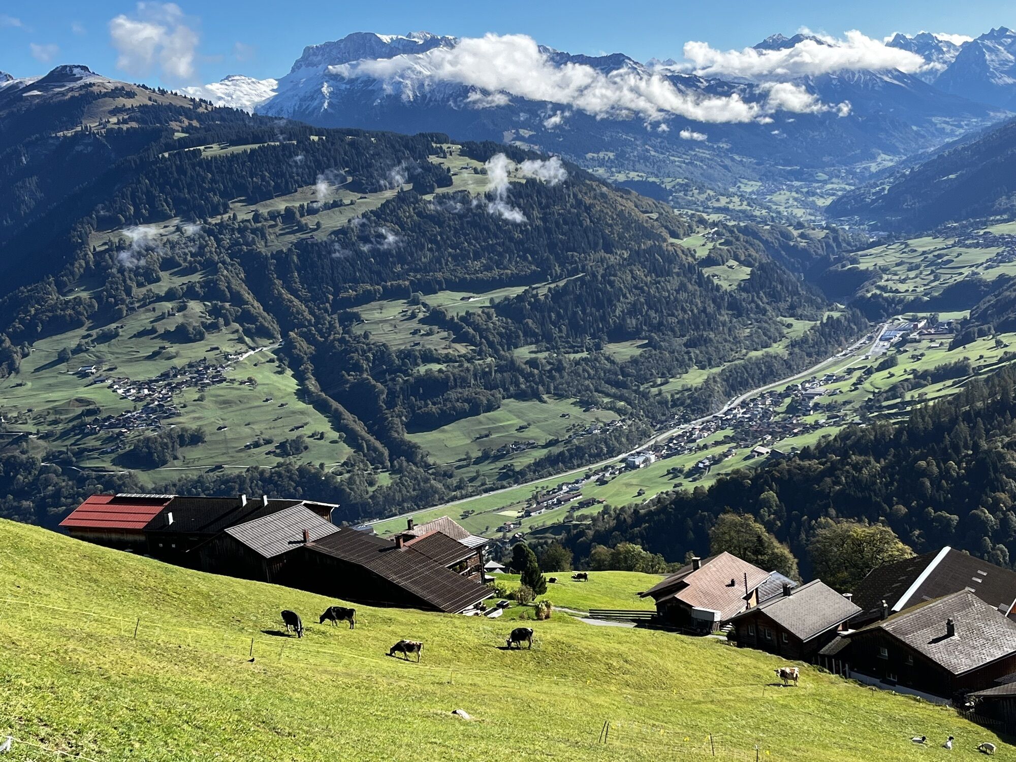
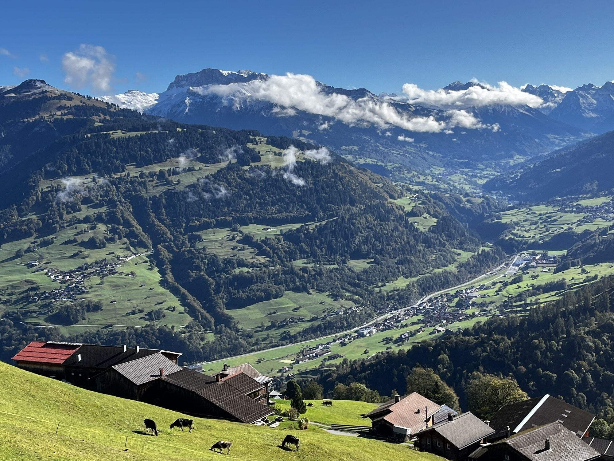
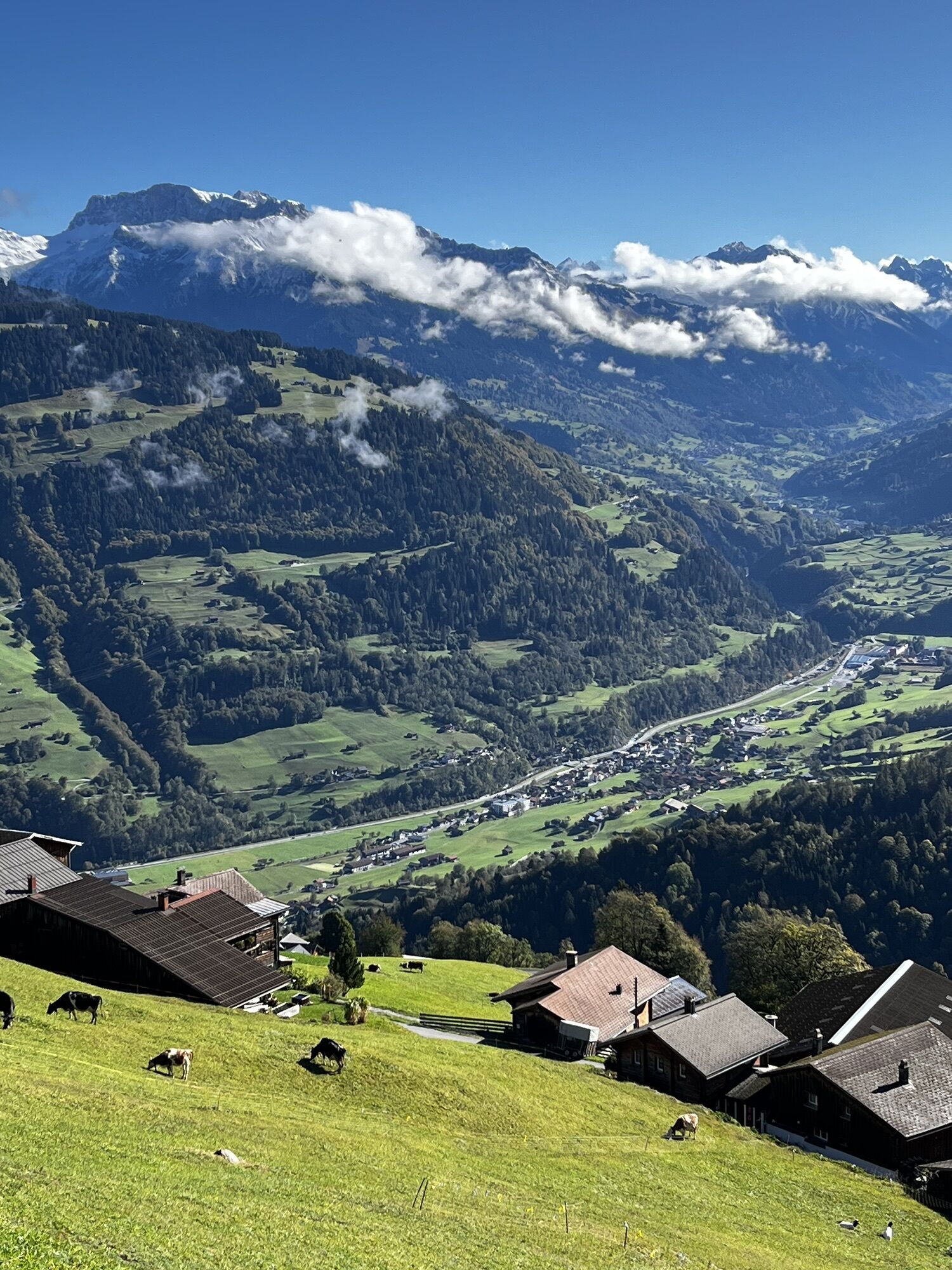
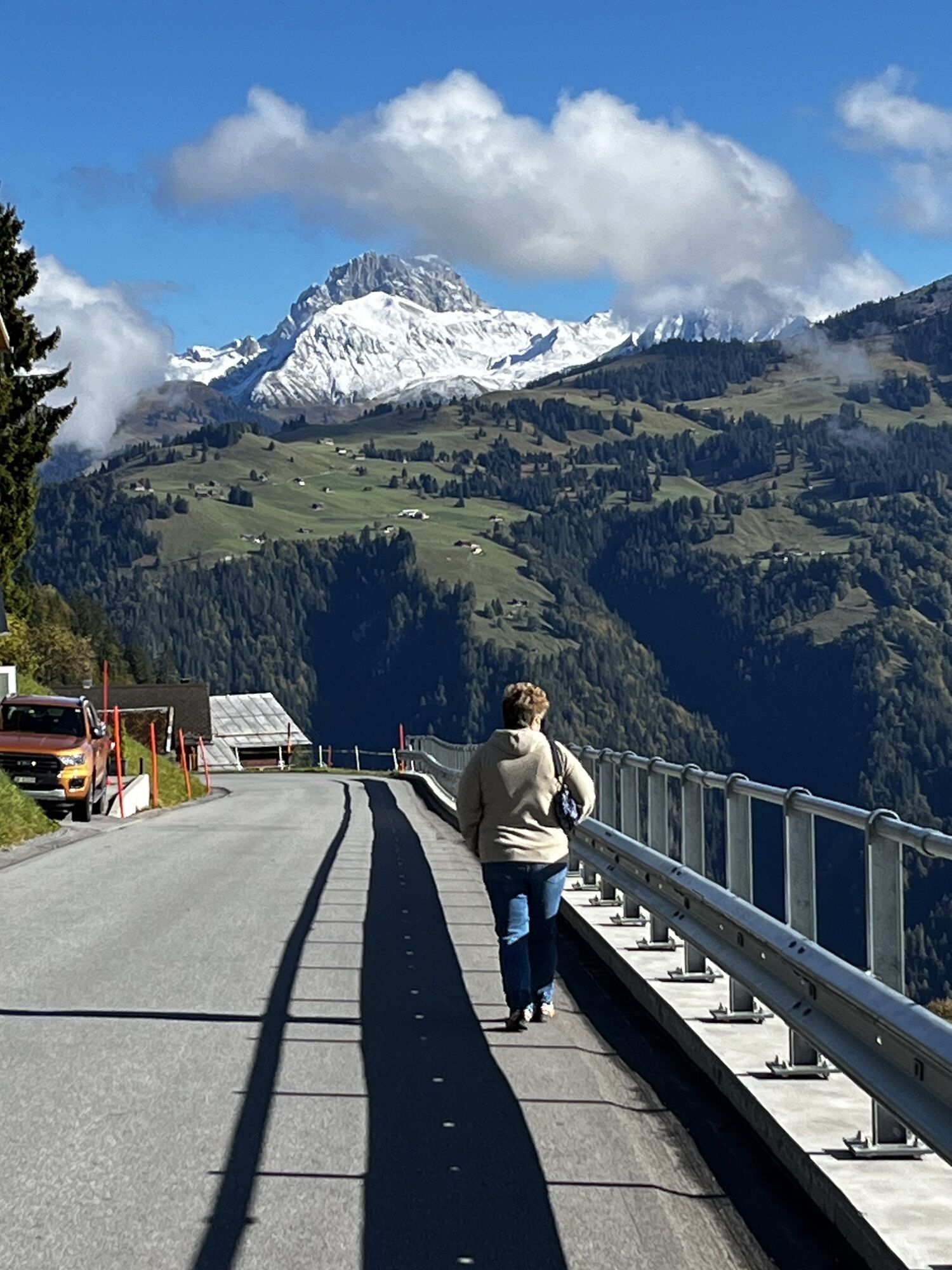
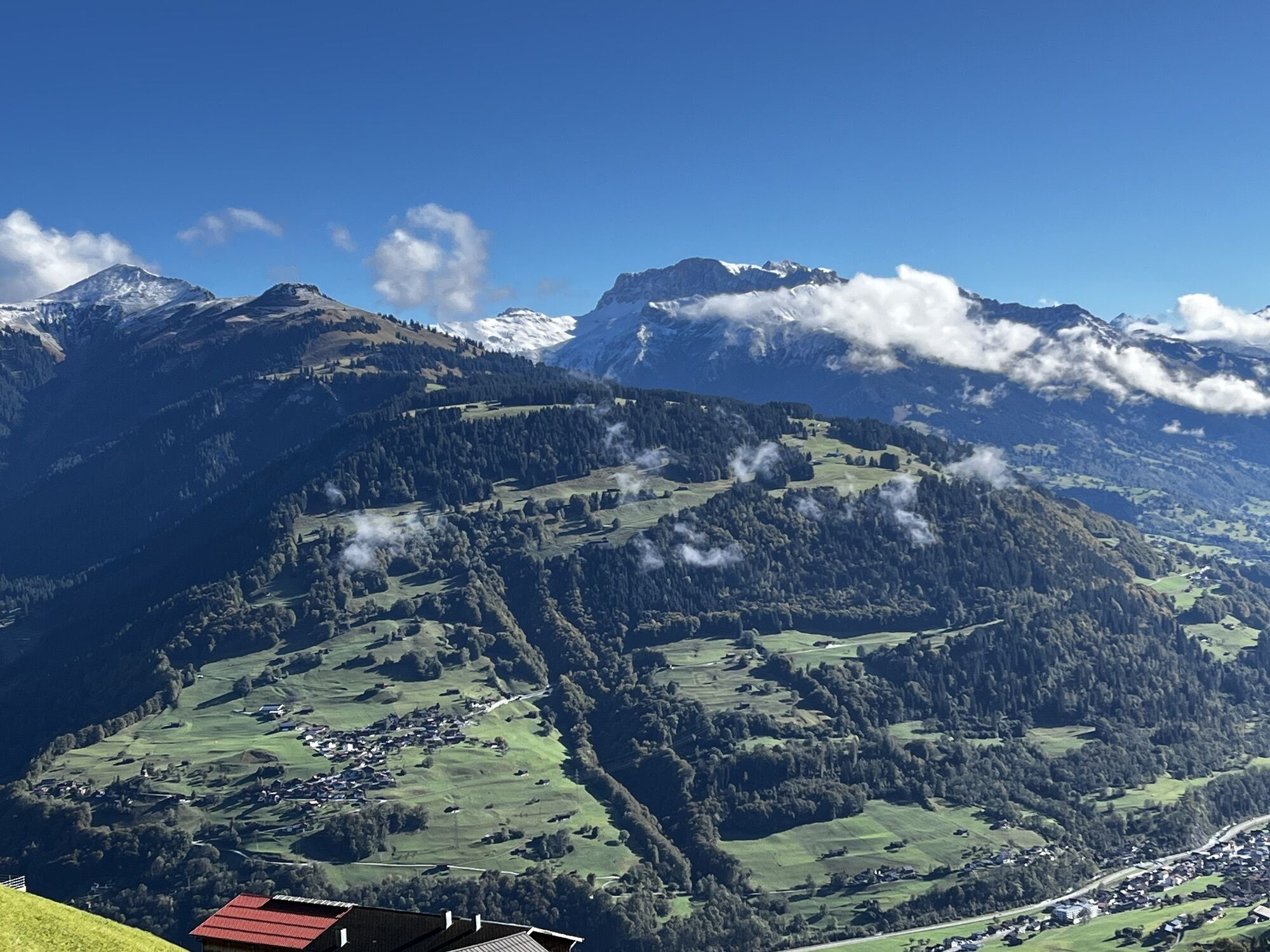
Footpath to the 'Güfer', on your right the view to the former 'Walser'-settlement Danusa and to the top end of the cable railway to the skiing area Danusa. This path follows the typical wooden slanting...
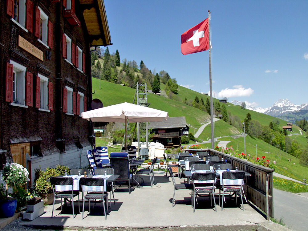
Footpath to the 'Güfer', on your right the view to the former 'Walser'-settlement Danusa and to the top end of the cable railway to the skiing area Danusa. This path follows the typical wooden slanting fence of the early inhabitants. From 'Güfer' you walk on the asphalt road up to 'Matten'. Looking back you have a marvellous view to the mountains 'Sulzfluh' and 'Drusenfluh'. Turn off left towards 'Höhsäss' from where you have a panoramic view to the lake 'Walensee'. Back to 'Matten'. Follow the road to alp Rona where there is a pub and a shop with agriculture products for sale. Footpath across Furna mountain with grazing land and marsh - the alpine flora is at its peak in June. You walk to the turn off to Scära (if you do not like this steep path you can take the new Scäraroad, about 100 metres before) and go downhill in the direction of Wolfegga to the small sheds in Hinterberg.

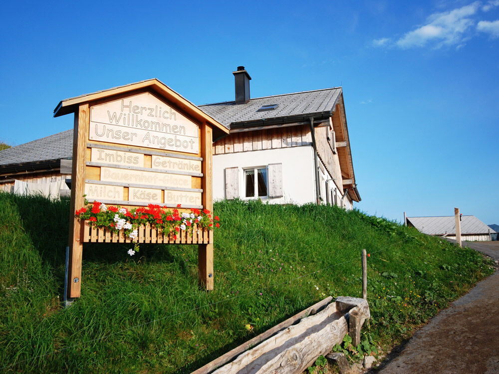
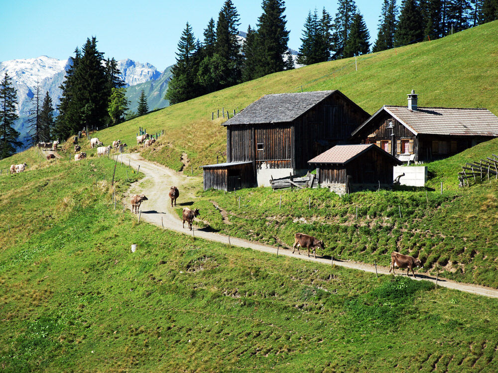
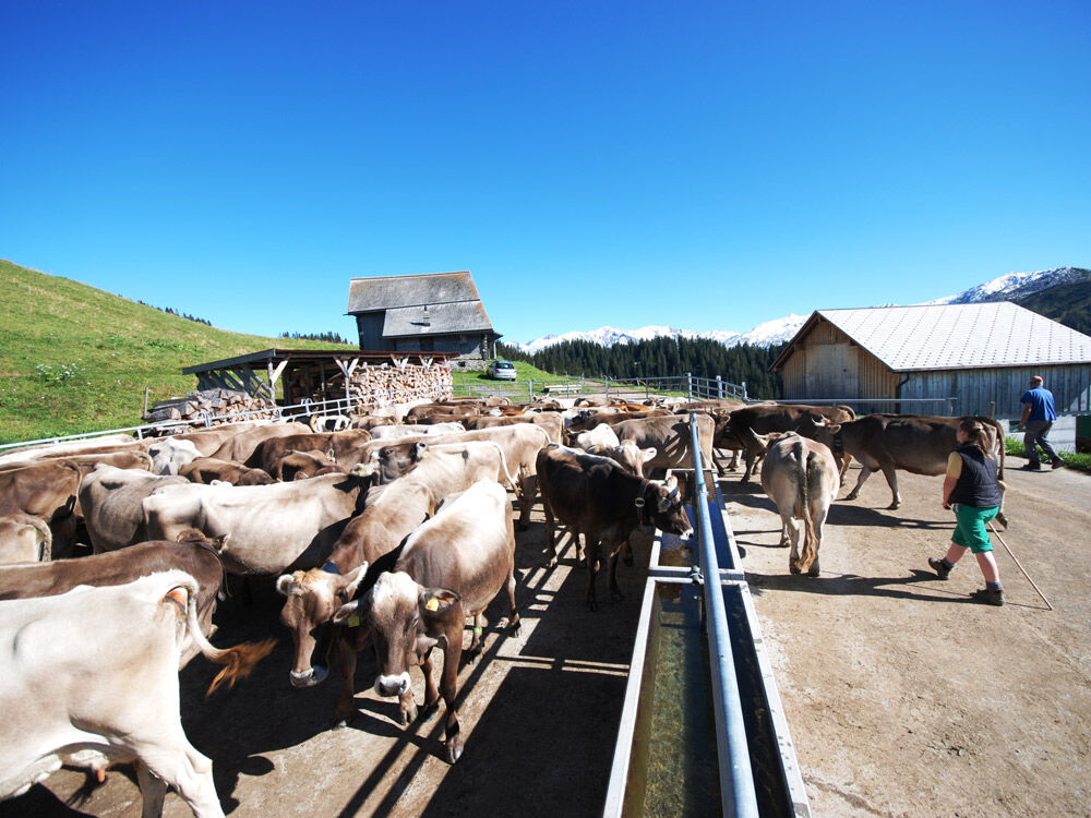

Furna post office 1360 metres above sea-level - Höhsäss 1824 m - Scära (Engi) 1712 m - Hinterberg 1409 m
Access road A 13 to Landquart and B 28 to Pragg-Jenaz
Public transport by train RhB to Jenaz (timetable-entry 910) and by post-office van to Furna (timetable-entry 90.221)
There are free car parks at your disposal at the village shop.
Prättigau Marketing
Feldweg 19
CH-7233 Jenaz
Tel. +41 (0)81 325 11 11
info@praettigau.info
www.praettigau.info
Kamery internetowe z trasy
Uzyskaj wgląd
Zawsze na żywo z ponad 9 500 kamer internetowych. bergfex Jako użytkownik Pro, możesz teraz zobaczyć odpowiednie kamery internetowe dla wielu wycieczek w aplikacji wycieczki od. Pozwala to na bezpośredni podgląd aktualnych warunków.
Popularne wycieczki w okolicy
-
4,8
Douglashütte - Schesaplana
średniWędrówka 7,31 km -
4,9
Douglasshütte, Lünersee, Gafalljoch Brand bei Bludenz, Vorarlberg
światłoWędrówka 9,16 km -
4,9
Schesaplana
średniWycieczka wysokogórska 5,26 km -
4,7
Tamina Gorge Circular Route
średniWędrówka 14,0 km -
4,6
Pizalun circular route
światłoWędrówka 7,18 km -
4,7
Off to the Falknis
ciężkiWędrówka 18,2 km -
4,5
Lünerseebahn Bergstation - Lünersee Alpe - Douglasshütte
średniTrailrunning 6,10 km -
5,0
Lünersee - Schesaplana - Brand 2 Tages Tour Optional mit Zelt
ciężkiWędrówka 20,2 km -
5,0
Malans-Jenins Wine Route
światłoWędrówka 10,3 km -
5,0
Rätschenfluh - panoramic summit of the highest class
ciężkiWędrówka 11,5 km
Wędrówki i tropienie


Nie przegap ofert i inspiracji na następne wakacje
Twój adres e-mail została dodana do listy mailingowej.





