


High altitude trail from Madrisa over Jägglischhorn to St. Antönien
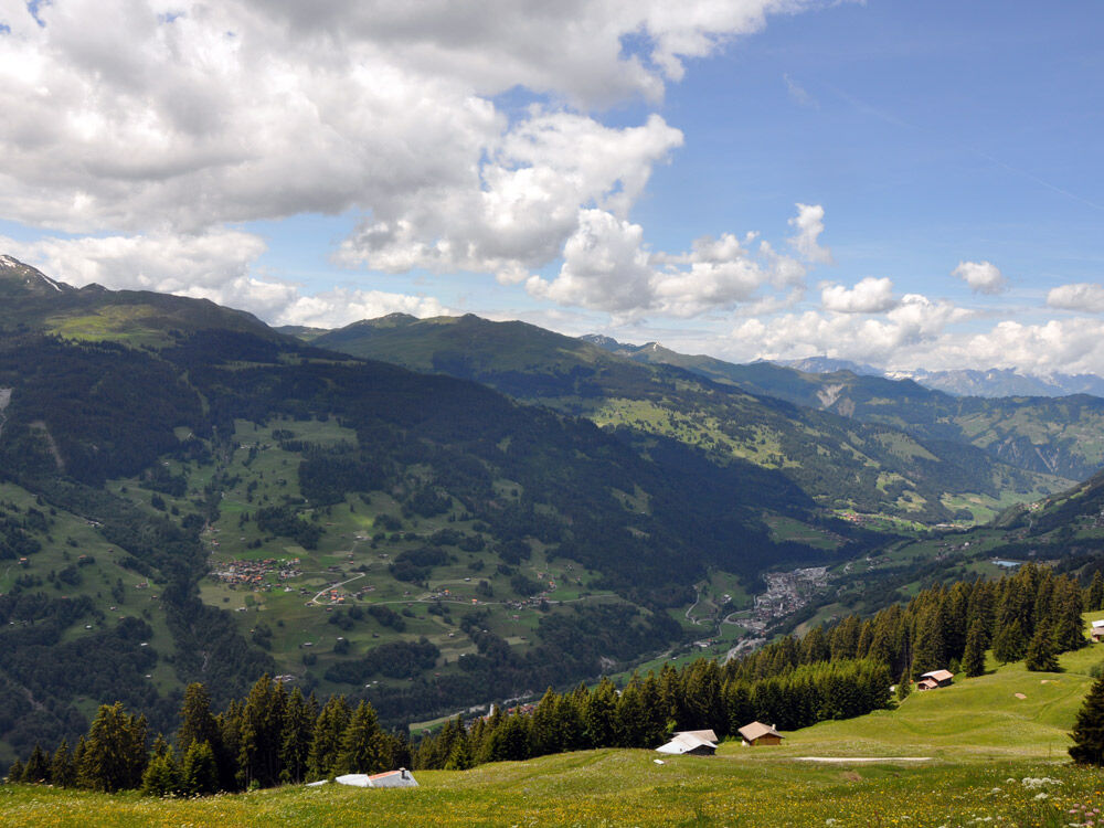
From the mountain station Saaser Alp on the Madrisa, you reach the farm Untersäss via the meadows, where fresh milk is available. Between the barn and farm, go left along the slope on a beautiful hiking...
From the mountain station Saaser Alp on the Madrisa, you reach the farm Untersäss via the meadows, where fresh milk is available. Between the barn and farm, go left along the slope on a beautiful hiking trail to the Mässplatten viewpoint. A steep zigzag descent along the rocks now begins. At the bottom, you cross the steep scree slope of the Saaser Calanda on narrow paths with frequent ups and downs – caution is necessary! Wire ropes and handrails are partially installed. Later, you hike uphill between Swiss mountain pines and meadows to the hamlet of Zastia; drinks are available on a self-service basis at one house.
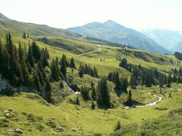
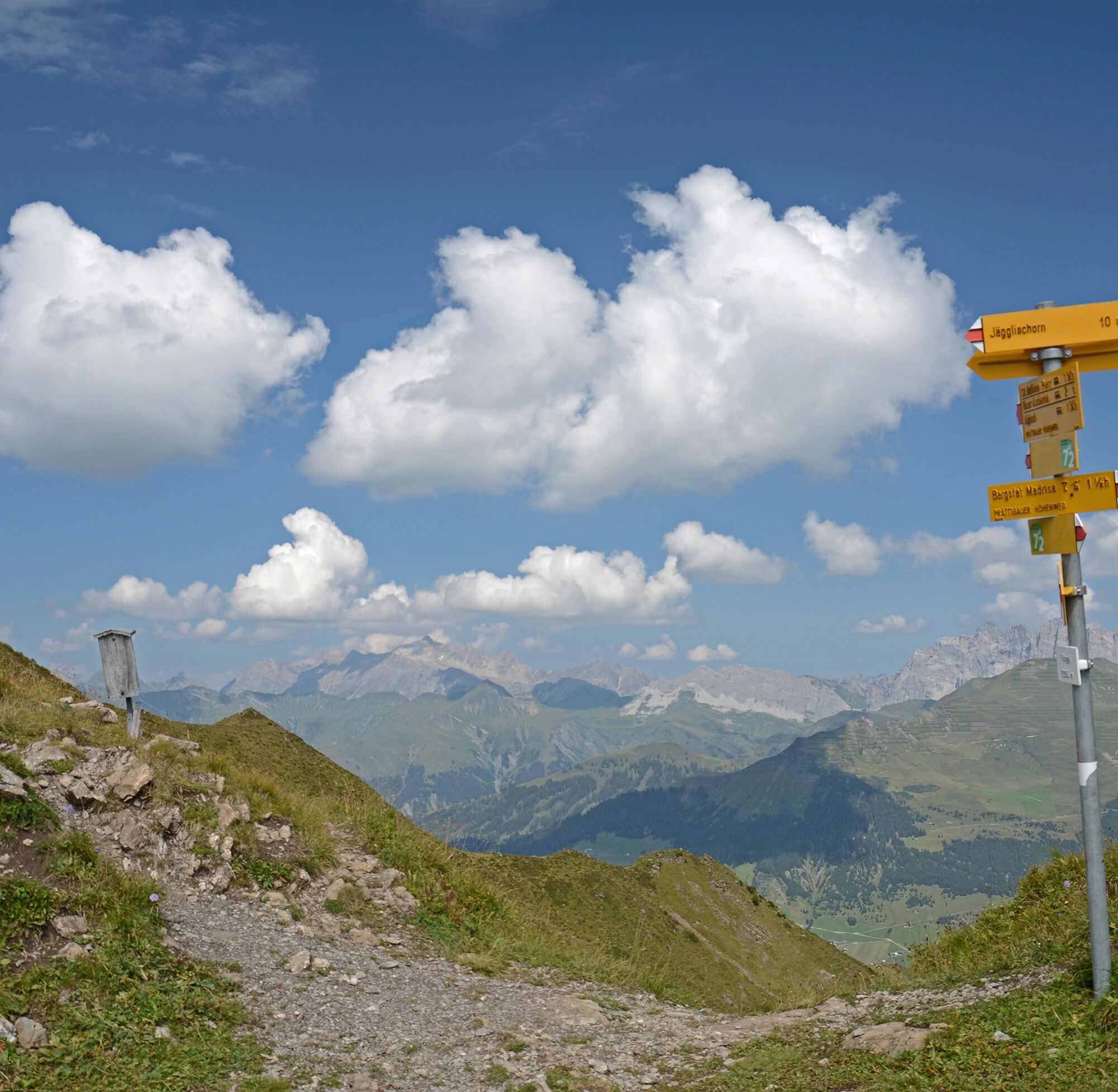
Next follows a strenuous but beautiful climb over the meadows of Hüschicalanda to the pass height at the Fürggli – if you like, you can include a short detour to the Jägglischhorn (2290 m). On the descent, you reach Alp Ascharina and walk down along the Alpbach on a gravel path. Shortly before the farmhouse Vordersäss, the paths split:
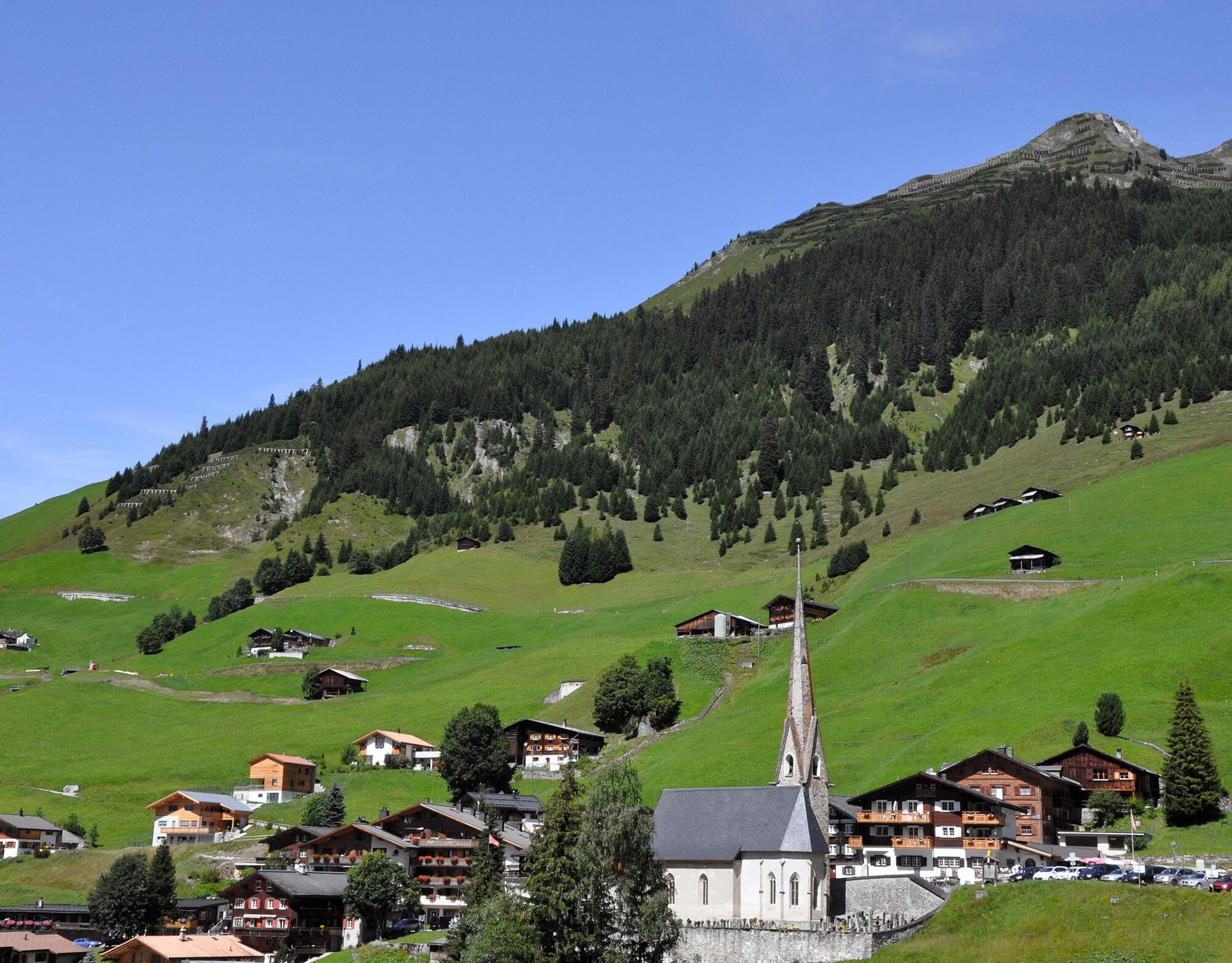
Next to the farmhouse, a narrow meadow path begins along the fence crossing the slope. After half an hour, the meadow path leads down in a small valley to the road from Inner Ascharina, on which you reach St. Antönien Post ten minutes later.

Klosters / Saaser Alp 1887m (Madrisa) - Untersäss 1938m - lower Mässplatten 1970m - 1860m - Zastia 1922 m - Hüschicalanda 2005m - Fürggli 2255m - Alp Ascharina 2025m - Ascharina - St. Antönien 1420m
Coming from Zurich / St. Margrethen, leave the A13/E43 motorway at Landquart heading towards Landquart, Davos, Vereina. Continue on road N28 to Klosters village.
Take the Swiss Federal Railways (SBB) to Landquart, then change to the Rhätische Bahn (RhB) towards Davos, Vereina.
You can park your car free of charge at the parking lot of the Madrisabergbahn. All parking spaces in Klosters Platz require a fee.
Pany-St. Antönien Tourism
Panyerstrasse 39
CH-7243 Pany
Tel. +41 81 300 32 22
info@pany-stantoenien.ch
www.pany-stantoenien.ch
Prättigau Marketing
Feldweg 19
CH-7233 Jenaz
Tel. +41 (0)81 325 11 11
info@praettigau.info
www.praettigau.info
Kamery internetowe z trasy
-
Sportzentrum Klosters
-
Sportzentrum Klosters
-
Sportzentrum Klosters
-
Sportzentrum Klosters
-
Sportzentrum Klosters
-
Sportzentrum Klosters
-
Sportzentrum Klosters
-
Madrisa Bergstation / Kinderland
-
Madrisa Bergstation / Kinderland
-
Madrisa Bergstation / Kinderland
-
Madrisa Bergstation / Kinderland
-
Madrisa Bergstation / Kinderland
-
Madrisaland
-
Madrisaland
-
Madrisaland
-
Madrisaland
-
Madrisaland
-
Pany - Freibad
-
Pany - Freibad
-
St. Antönien - Skilift
-
Skilift St. Antönien
-
Skilift Pany
-
Madrisa Bergstation / Kinderland
-
Skilift Pany
-
St. Antönien - Bord / Aschüel
-
Gargellen Süd
-
Gargellen West
-
Berghaus Sulzfluh
-
Berghaus Sulzfluh
-
Berghaus Sulzfluh
Popularne wycieczki w okolicy
-
5,0
Ski tour to the Lindauer Hut (1,744 m)
światłoWycieczka narciarska 14,0 km -
4,7
Smuggler’s path
średniTrasa tematyczna 8,60 km -
4,4
Golm-Rundwanderweg im Rätikon
średniTrasa tematyczna 7,28 km -
4,2
Golmerbahn Bergstaion Grüneck - Golmer Höhenweg - Geißspitze - Lindauer Hütte - Latschau
średniWędrówka 11,5 km -
4,4
Madrisella summit path
średniTrasa tematyczna 10,8 km -
5,0
Douglasshütte, Lünersee, Gafalljoch Brand bei Bludenz, Vorarlberg
światłoWędrówka 9,16 km -
3,0
Bergstation Grüneck Golmerbahn - Alpe Latschätz - Lindauer Hütte - Latschau
światłoWędrówka 11,1 km -
5,0
Around the Kirchlispitzen (2,552 m)
ciężkiWędrówka 14,8 km -
3,5
Golmer Höhenweg
średniWędrówka 13,8 km -
5,0
Mountain route to the Tschaggunser Mittagspitze (from Latschau)
ciężkiWędrówka 11,5 km
Wędrówki i tropienie


Nie przegap ofert i inspiracji na następne wakacje
Twój adres e-mail została dodana do listy mailingowej.