


Fatschél - Mattjisch Horn - Langwies
Zdjęcia naszych użytkowników
-
 © Jan MaurerUtworzono dnia 08.02.2023
 -
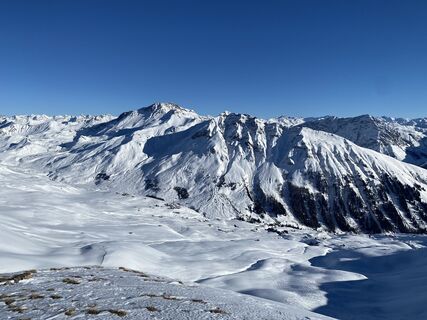
 © alinraduUtworzono dnia 19.10.2025
 -
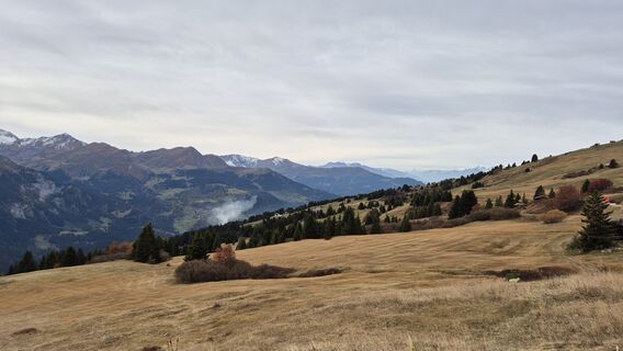
 © alinraduUtworzono dnia 19.10.2025
 -
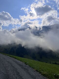
 © Lars FluetschUtworzono dnia 23.08.2025
 -
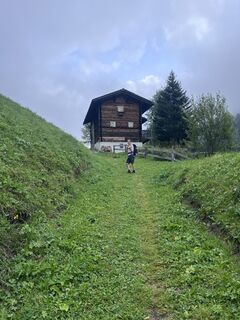 © Lars FluetschUtworzono dnia 23.08.2025
 -
 © Lars FluetschUtworzono dnia 21.06.2025
 -
 © Jan MaurerUtworzono dnia 08.02.2023
 -
 © Jan MaurerUtworzono dnia 08.02.2023
 -
 © Jan MaurerUtworzono dnia 08.02.2023
 -
 © Jan MaurerUtworzono dnia 08.02.2023
 -
 © Jan MaurerUtworzono dnia 08.02.2023
 -
 © Jan MaurerUtworzono dnia 08.02.2023
 -
 © Jan MaurerUtworzono dnia 08.02.2023
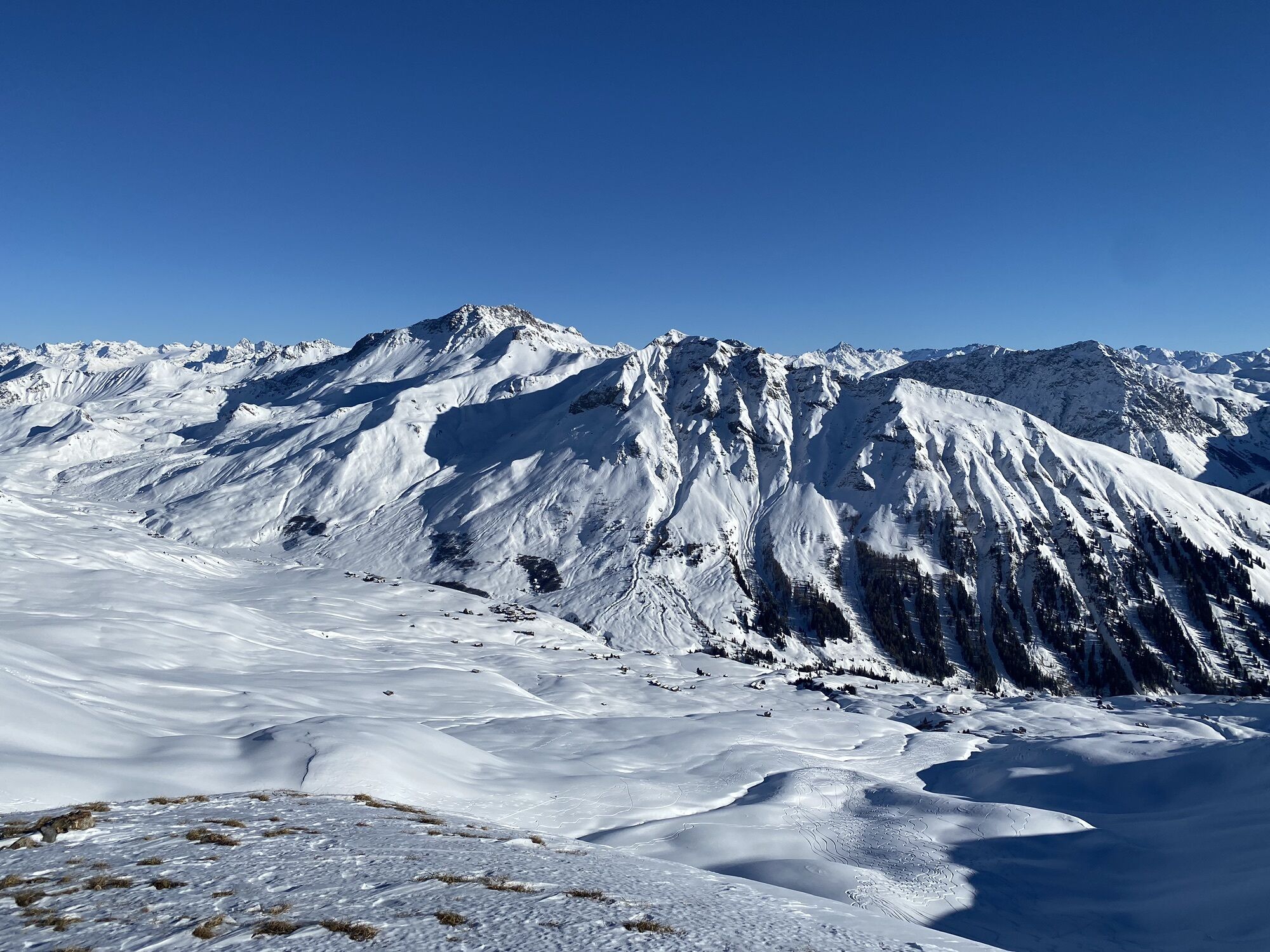
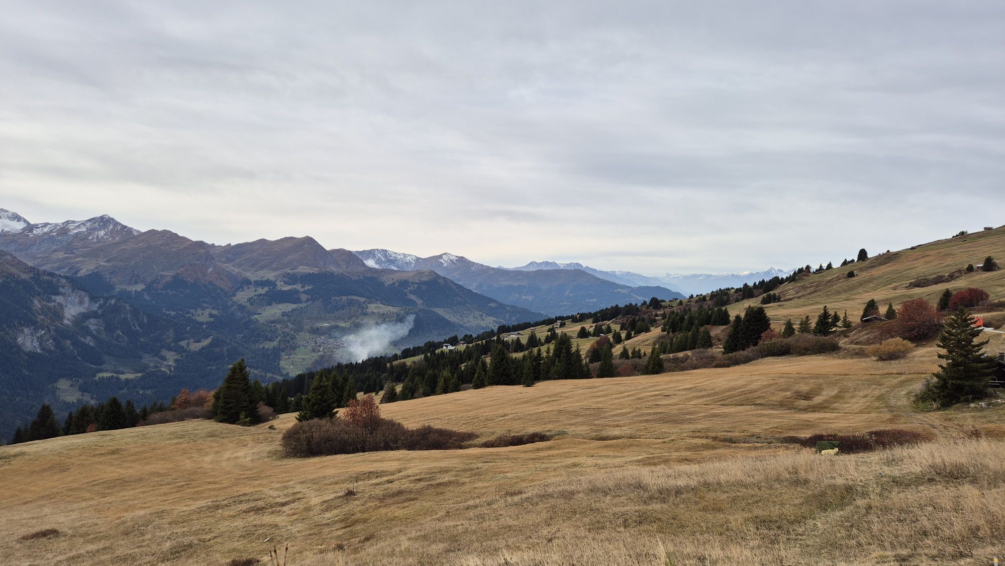
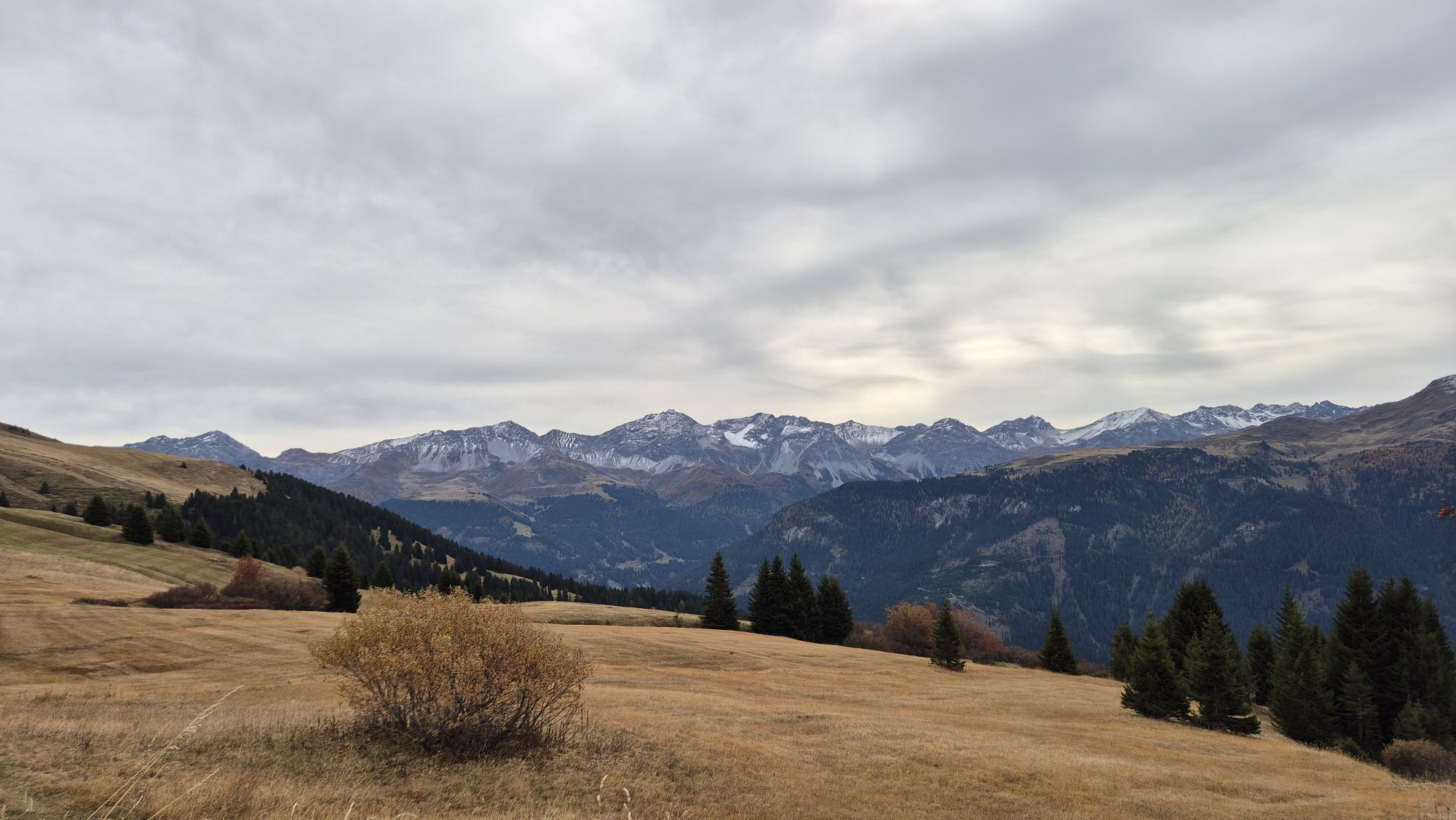

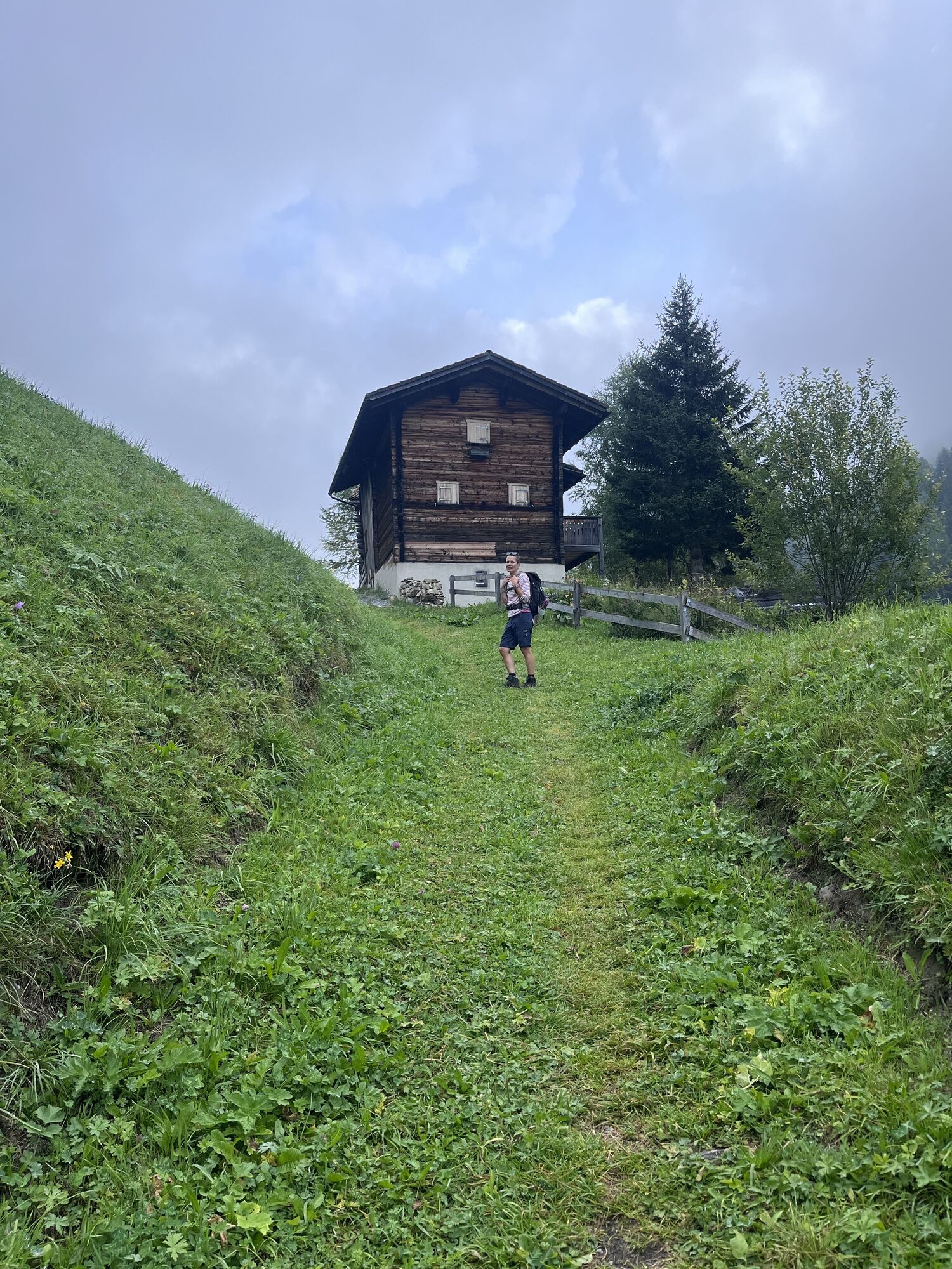

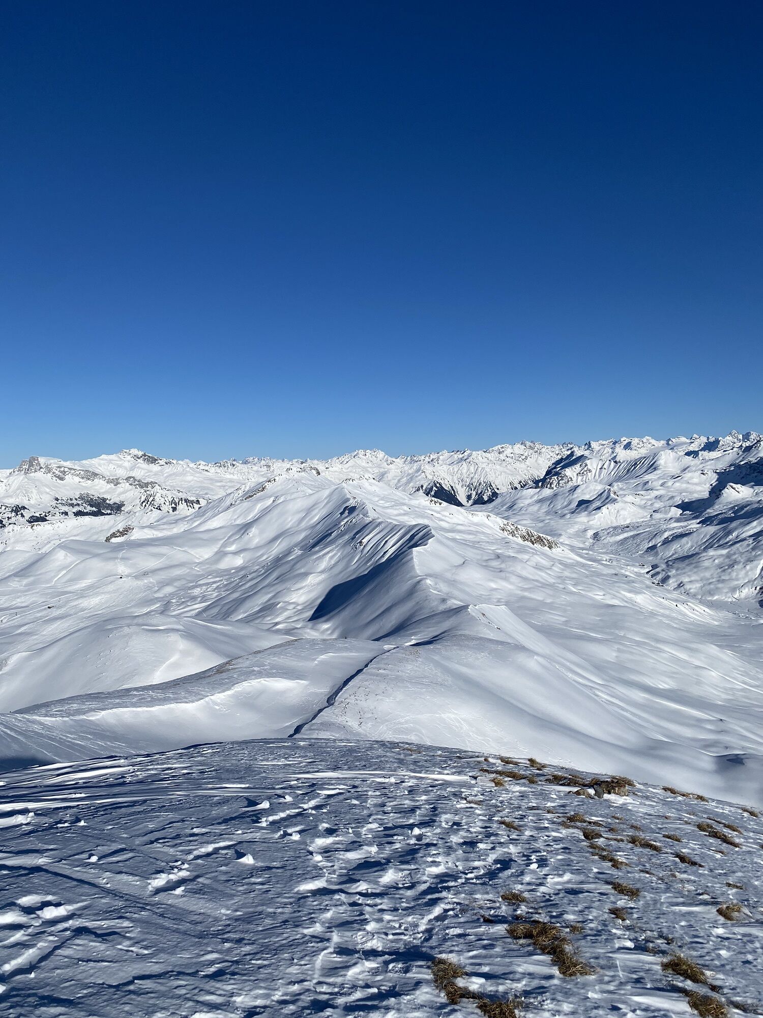
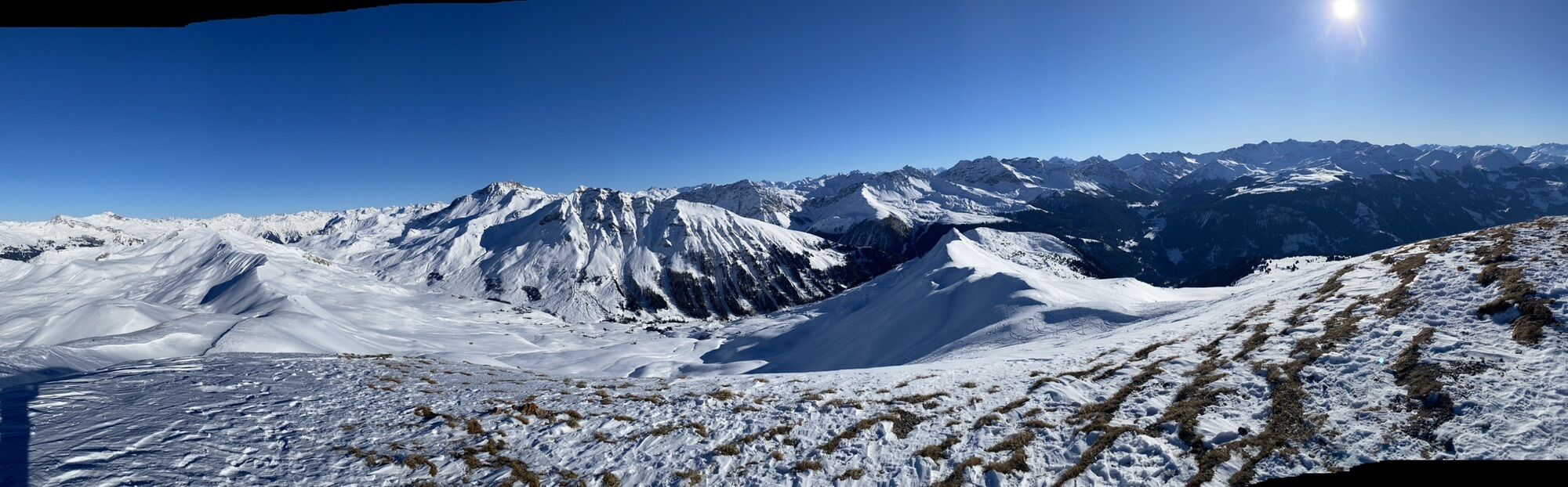


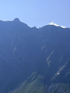
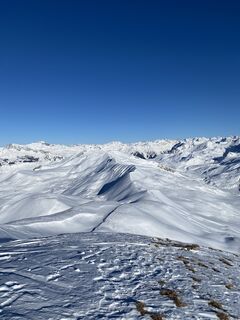
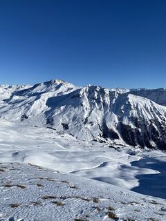
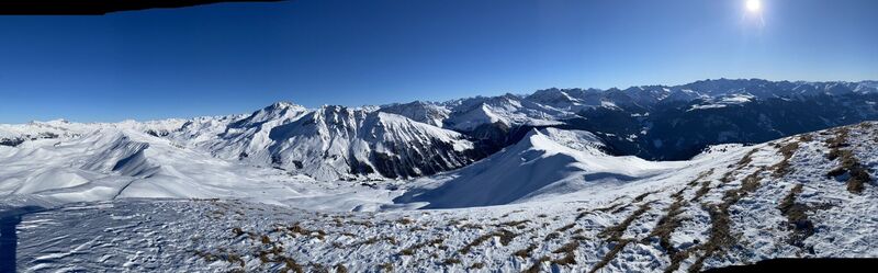
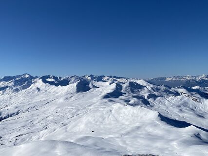
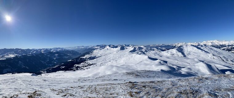
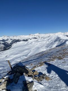
The route leads via the Triemel mountain inn to the Hochwang ski house and then over a scenic stretch of moorland. The ascent to the Mattjisch Horn leads along a beautiful mountain trail without any unforgettable...
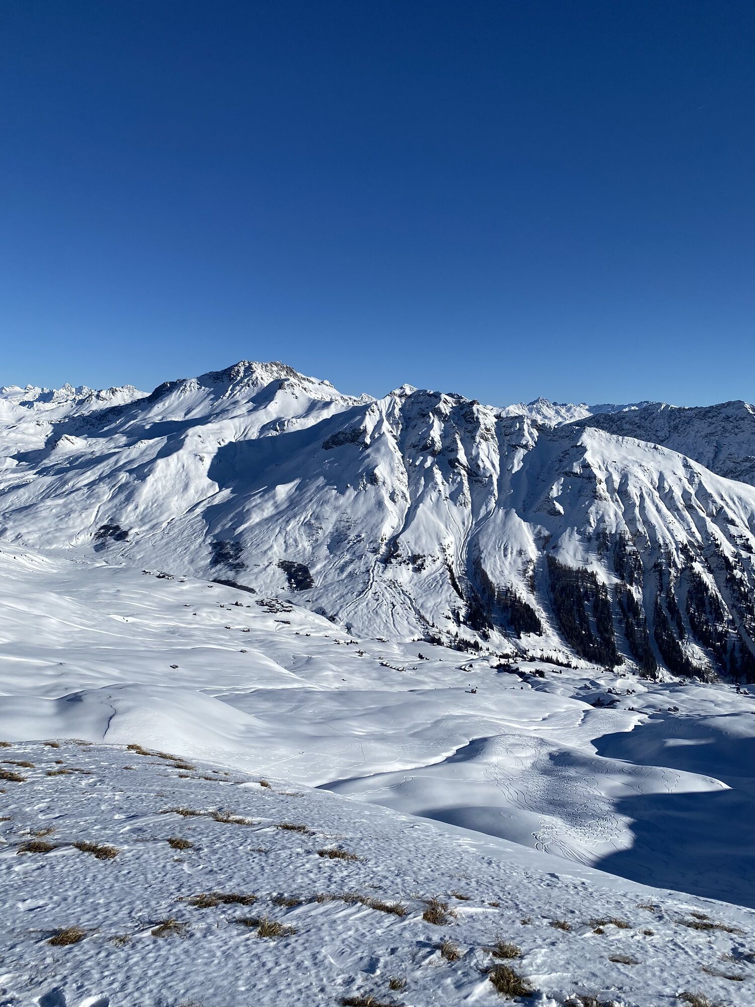
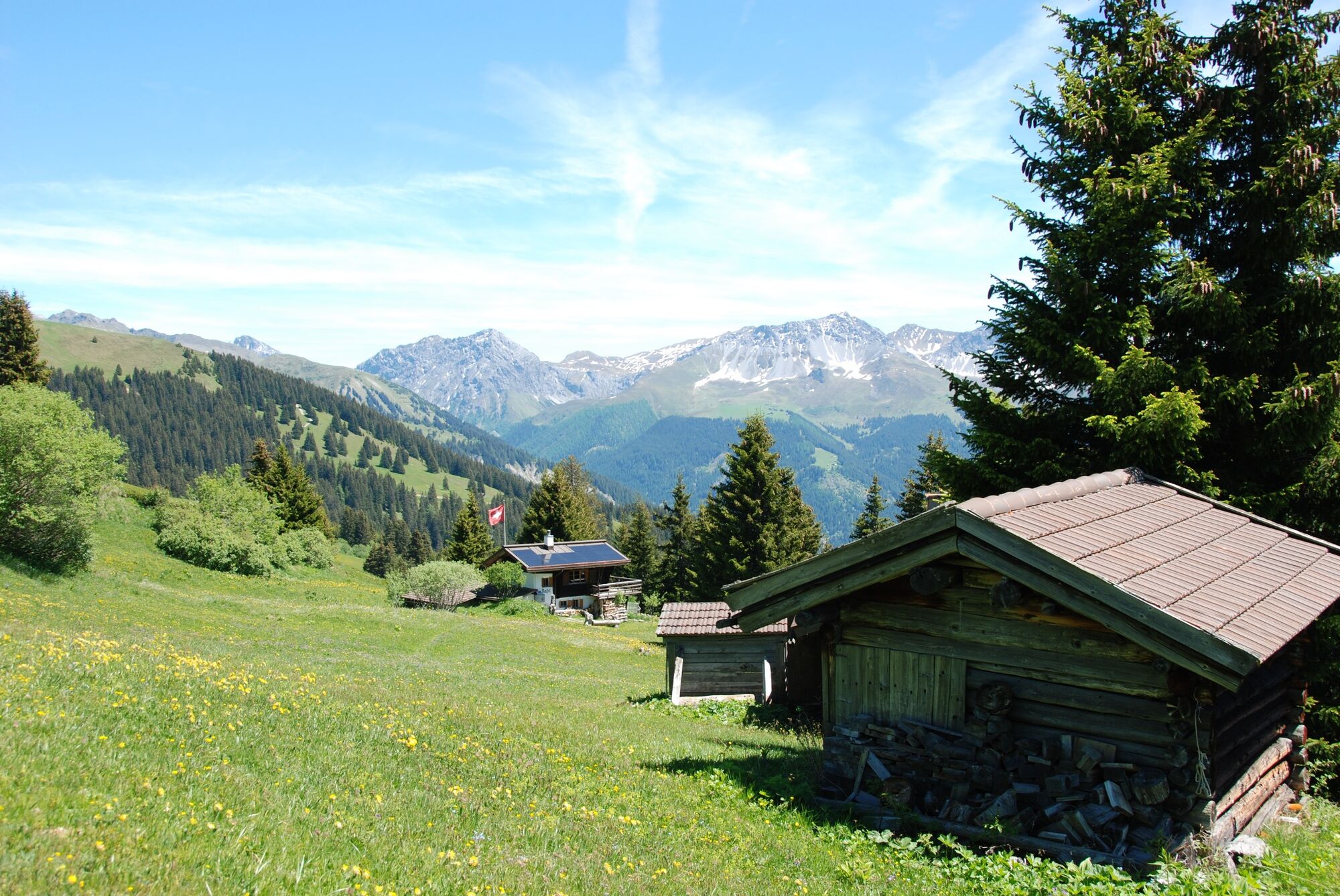
The route leads via the Triemel mountain inn to the Hochwang ski house and then over a scenic stretch of moorland. The ascent to the Mattjisch Horn leads along a beautiful mountain trail without any unforgettable spots. After enjoying the panoramic view of the summit, the tour leads across a meadow landscape to the Casanna mountain inn. After refreshments, a beautiful final hike follows along the river through the old Fondeierweg to Langwies.

The route leads via the Triemel mountain inn to the Hochwang ski house and then over a scenic stretch of moorland. The ascent to the Mattjisch Horn leads along a beautiful mountain trail without any unforgettable spots. After enjoying the panoramic view of the summit, the tour leads across a meadow landscape to the Casanna mountain inn. After refreshments, a beautiful final hike follows along the river through the old Fondeierweg to Langwies.
Tak
Good mountain hiking boots and complete hiking equipment
As this is a stage tour, it is not advisable to travel by car.
with the sports bus to Fatschel.
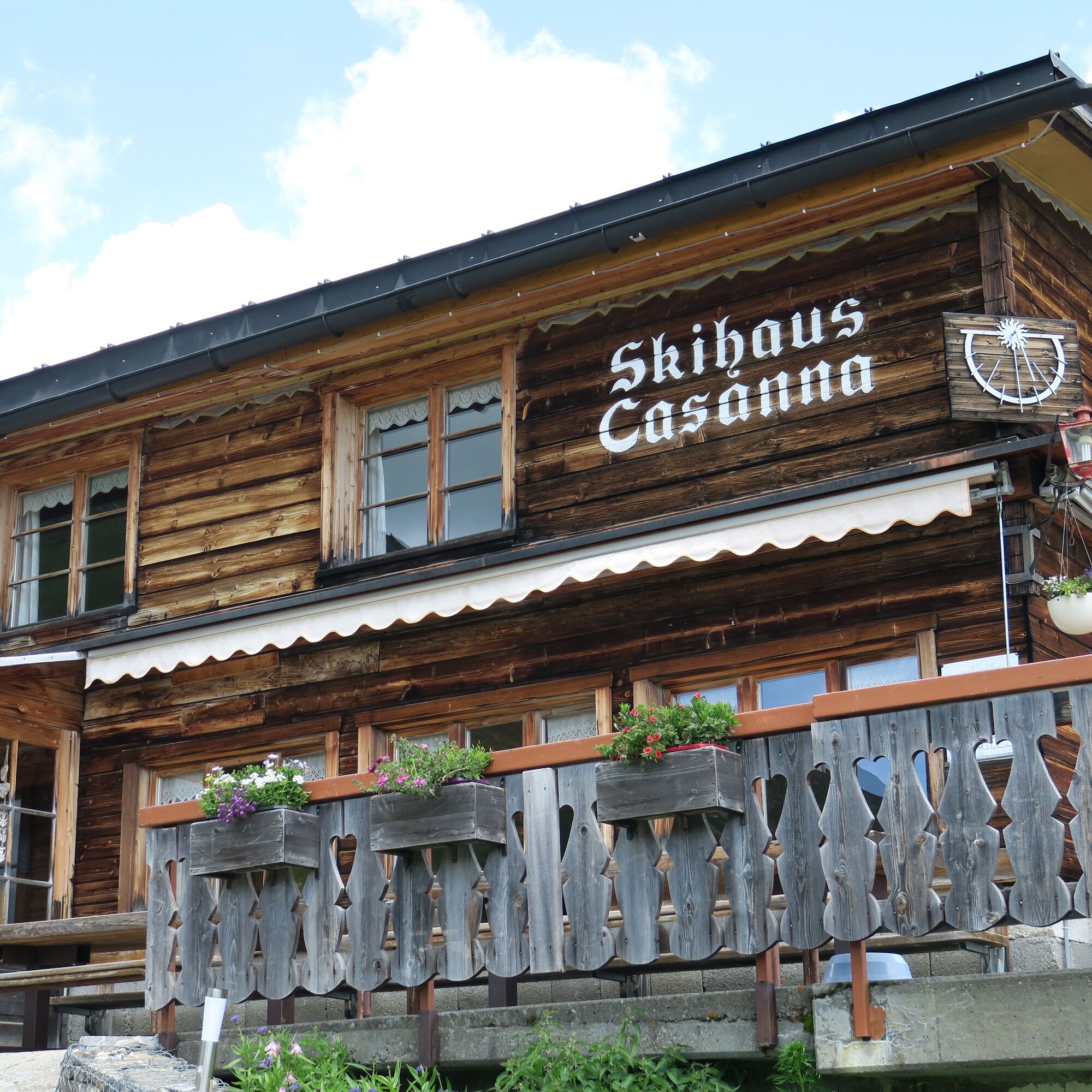
Enjoy fine cuisine at the Casanna mountain inn.
Kamery internetowe z trasy
Popularne wycieczki w okolicy
-
Arosa-Schwellisee-Älplisee-Parpaner Rothorn
Wędrówka 12,3 km -
5,0
Parsenn
średniNarciarstwo 39,7 km -
5,0
Arosa-Hörnli-Urdenfürrgli-Alp Scharmoin-Lenzerheide
średniWędrówka 15,3 km -
2,0
Arosa-Maienfelder Furgga-Stafelalp-Davos
średniWędrówka 15,9 km -
4,7
Arosa-Hörnli-Parpaner Rothorn-Lenzerheide
Wędrówka 11,9 km -
72 Praettigau High Trail Stage 1: Klosters - St. Antönien
średnidługodystansowy szlak pieszy 12,7 km -
3,0
207 Mittelberg Parpan
średniWędrówka zimą 7,07 km -
5,0
Mountain Inn Heimeli - Sapün - Langwies
średniJazda na sankach 4,99 km -
5,0
Eichhörnliweg Arosa
światłoTrasa tematyczna 1,72 km -
4,2
Maiensäss circular hike Pany - Calondis
średniWędrówka 8,20 km
Wędrówki i tropienie


Nie przegap ofert i inspiracji na następne wakacje
Twój adres e-mail została dodana do listy mailingowej.