





San Jon – Avrona – (Lai Nair) – Gurlaina (Scuol)
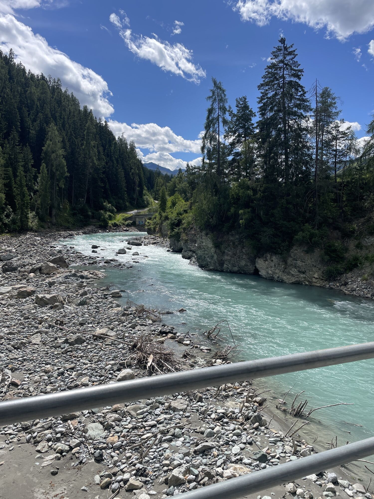
The start is at the PostAuto stop "Scuol, Serras" or the parking lot at the cross-country skiing center. Follow the road towards S-charl for 300 m. Then turn left and cross the Inn River. Pass the Lischana...
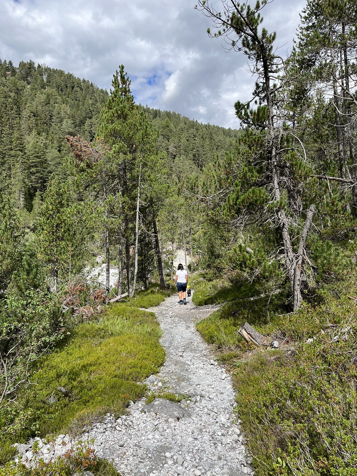
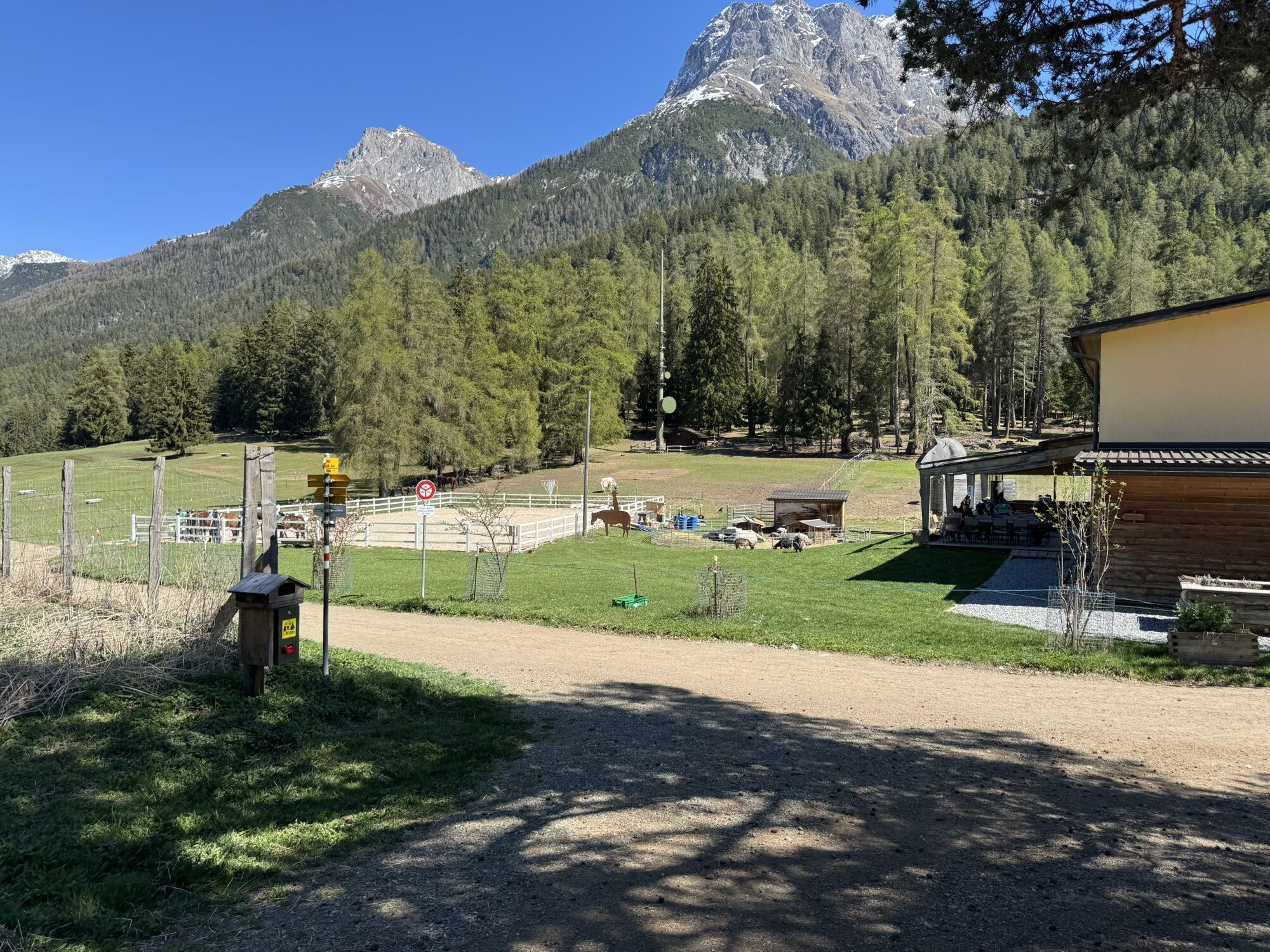
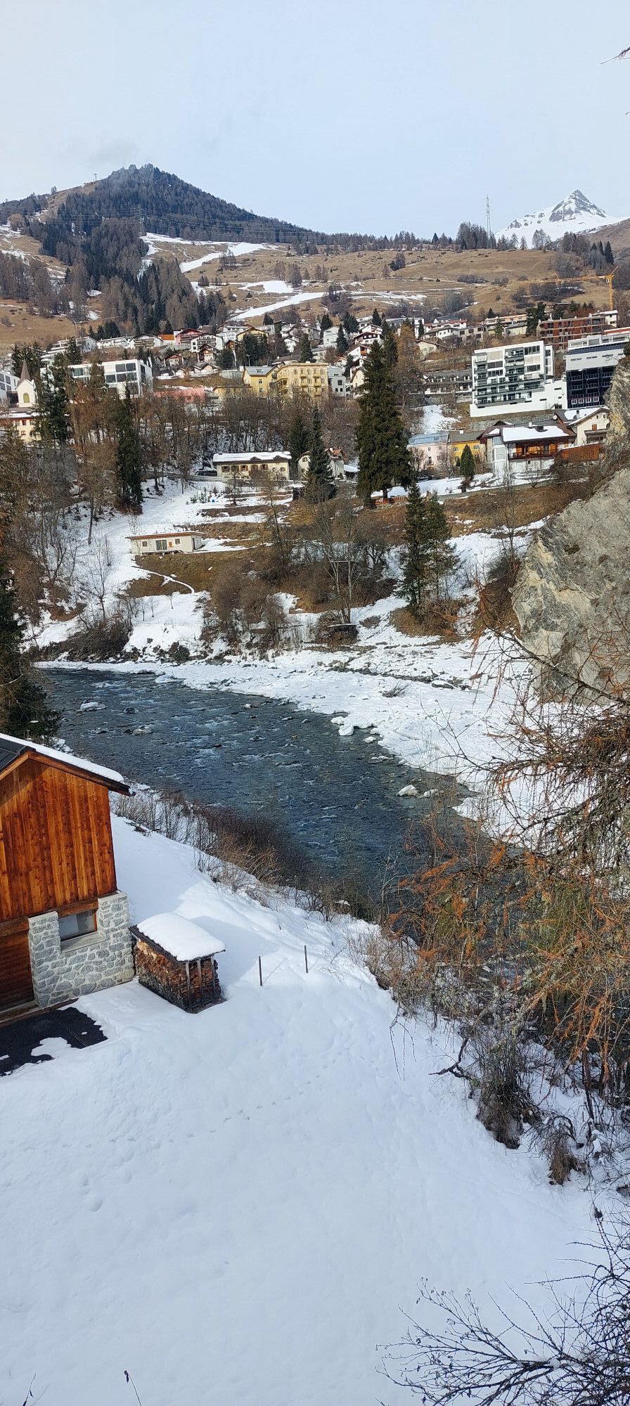
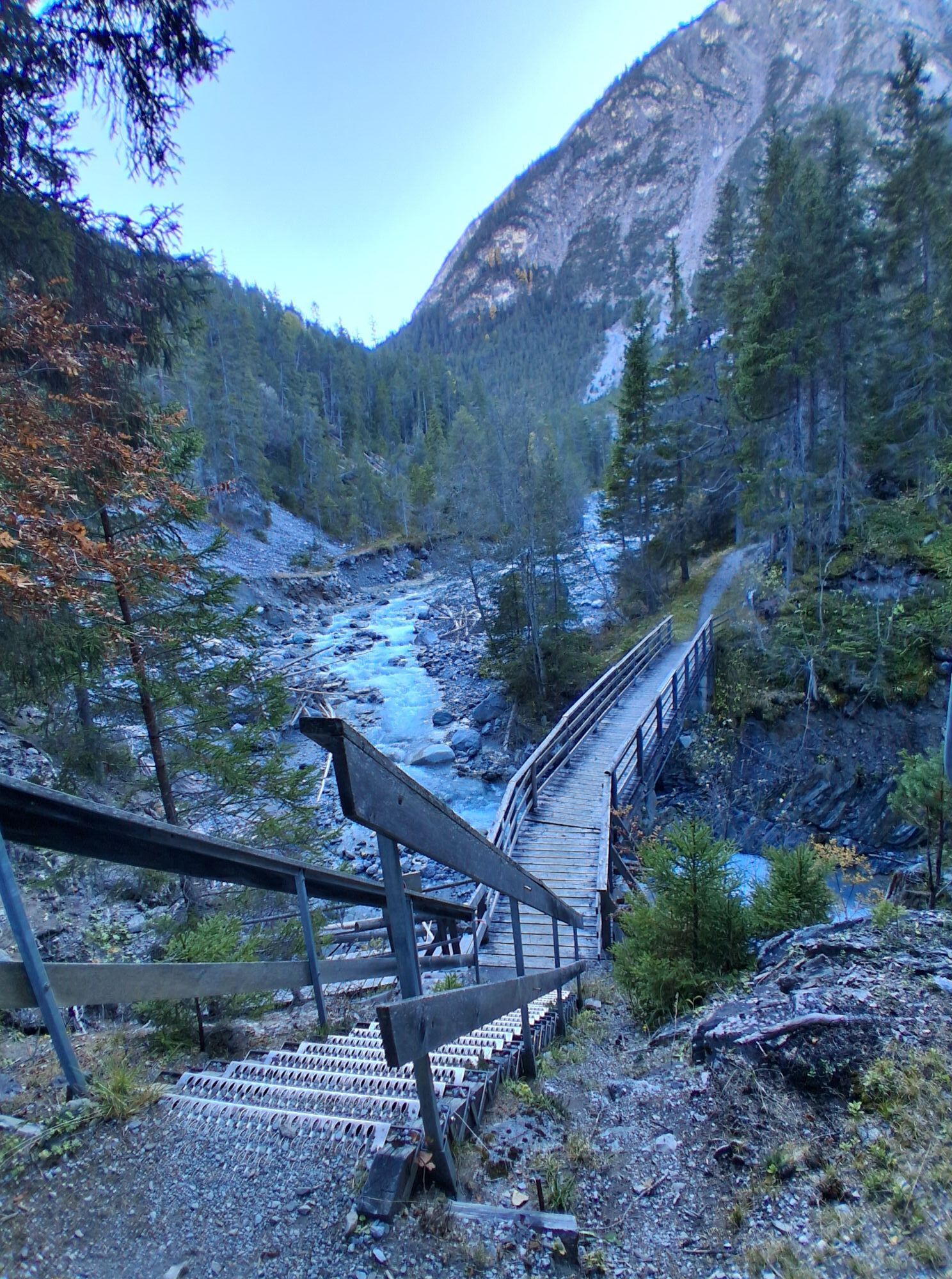
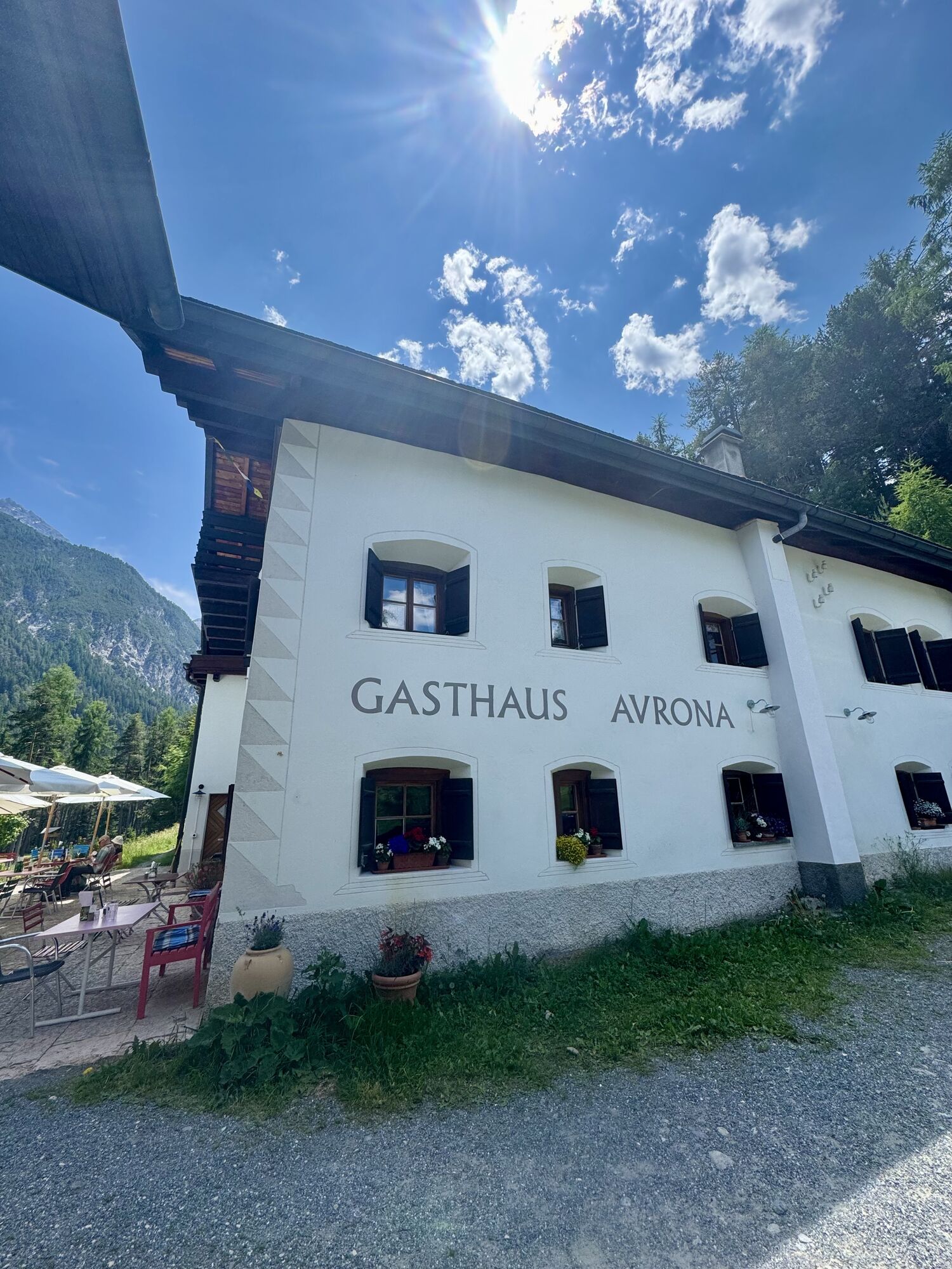
The start is at the PostAuto stop "Scuol, Serras" or the parking lot at the cross-country skiing center. Follow the road towards S-charl for 300 m. Then turn left and cross the Inn River. Pass the Lischana fountain (here you have the opportunity to fill your bottle with a natural sports drink). After 100 m, before crossing the stream, turn right and follow the hiking path. Shortly after a right curve, a path turns left. This leads in a zigzag course up to a junction with a red bench at 1314 m above sea level. Here, take the middle path to Bellavista (beautiful view) of the village Scuol. From there, continue on the hiking path until an asphalted road is reached. Turn left there, and after a few meters, follow the hiking path to the San Jon riding stable. Turn right there and follow the hiking path to S-charl along the stables. Shortly after the San Jon parking lot, take the path on the left and cross the road to S-charl. After 600 m, you reach the road to S-charl again, which you follow for about 800 m. Here, a narrow path branches off to Avrona, and you enjoy the "downhill stretch" down to the Clemgia. On the opposite river side begins the Swiss National Park. After the bridge, a short climb leads to Avrona. Chamois are often grazing here. You pass through the garden of the Avrona guesthouse, which is recommended for a stop.
From here there are several options:
Option 1: via Vulpera
Before the fountain at the Avrona guesthouse, turn right to the Avrona mountain school and follow the marked hiking path towards Vulpera – Scuol. The pleasant path runs through the typical Engadine forest in several curves up to Vulpera. From here, it is only a few meters to the destination at Gurlaina, Scuol.
Option 2: via Lai Nair, Tarasp
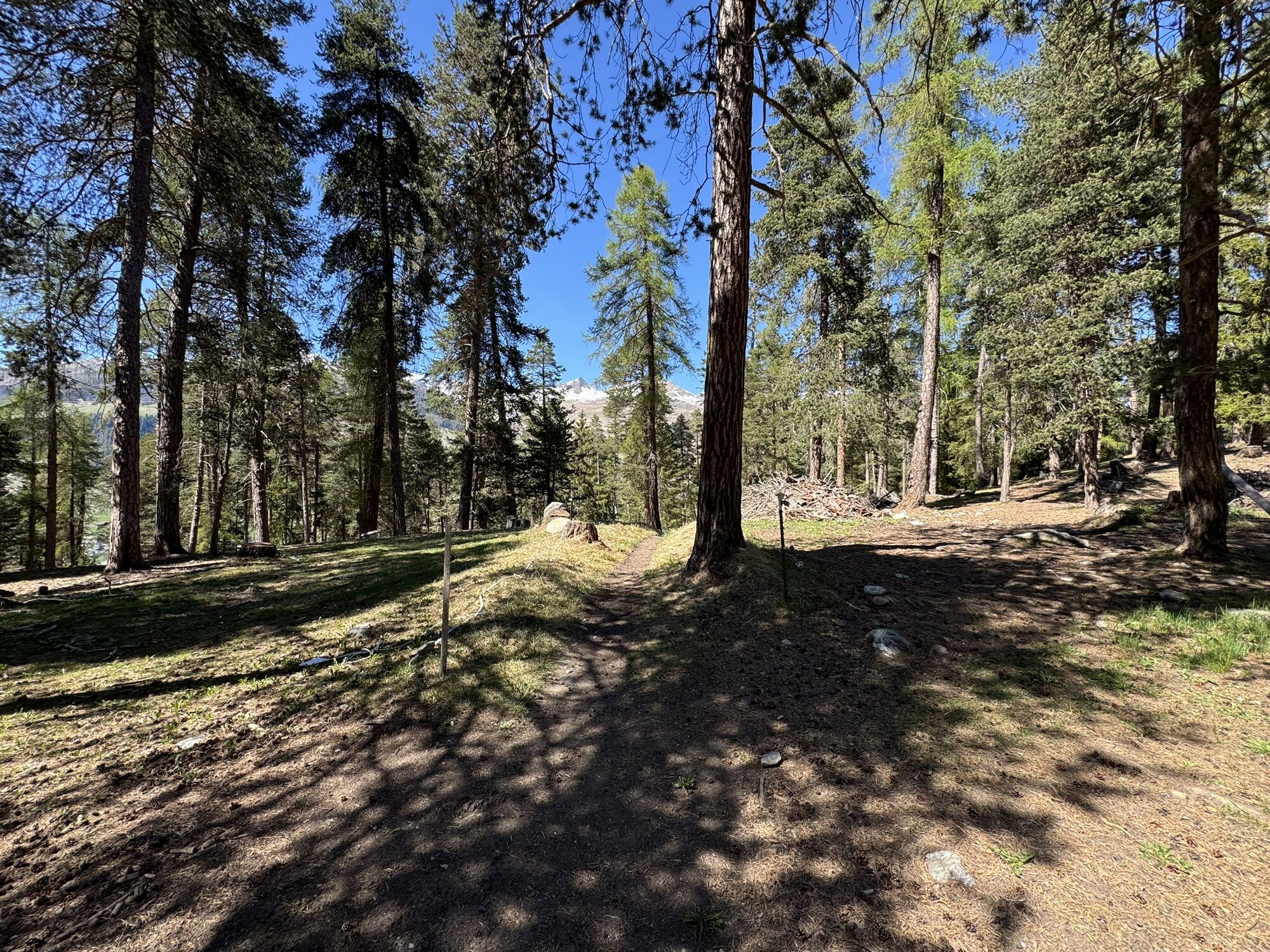
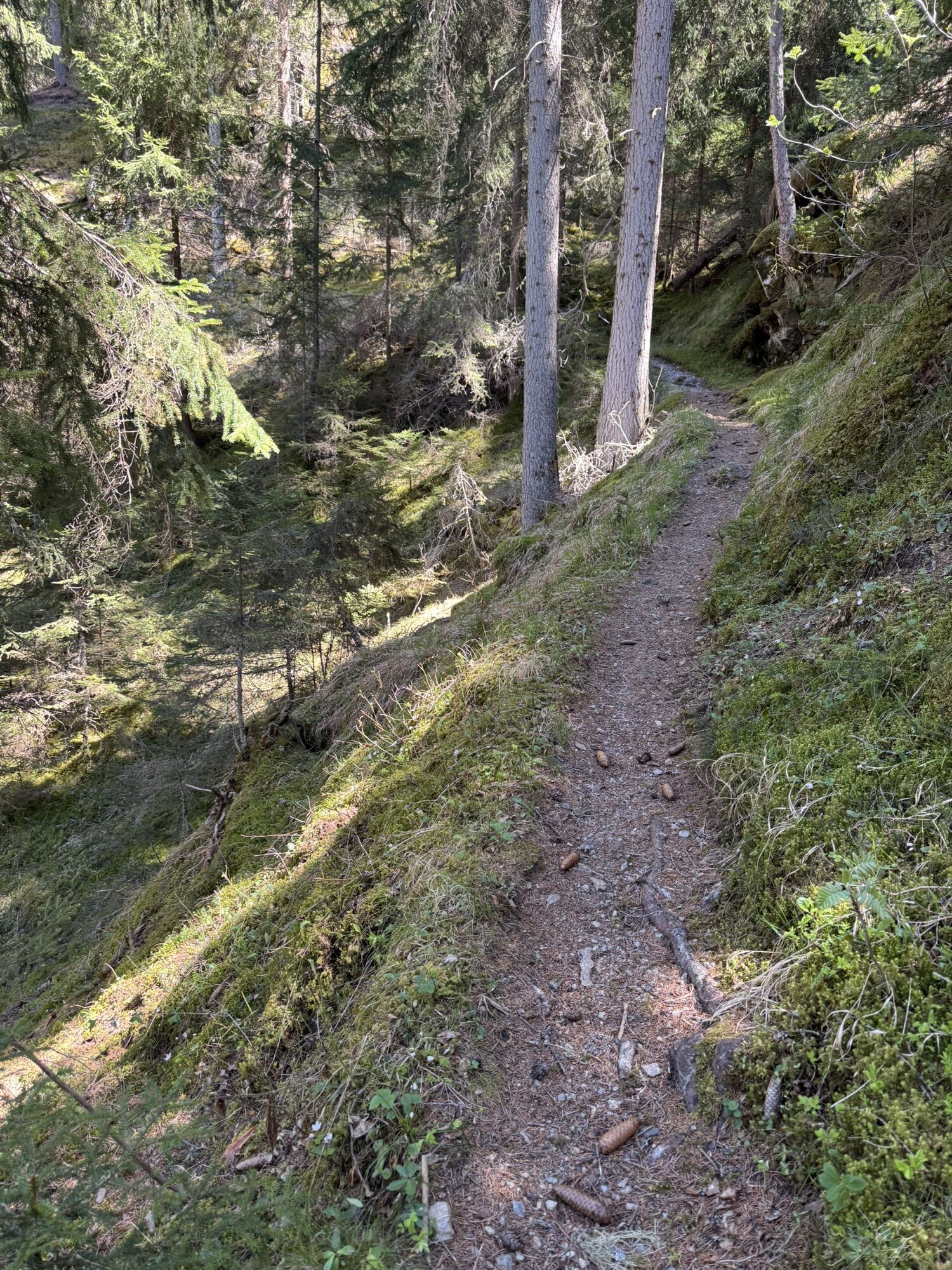
Directly at the parking lot of the Avrona guesthouse, opposite the fountain, a somewhat hidden forest path begins. At first, it goes up quite steeply for a few meters; then follows a flow trail with a gentle ascent along the ridge until a wider track is reached. Follow this, and soon the beautiful Lai Nair is visible on the right side. After passing the lake, you reach a path that turns right. Follow this path toward Tarasp. Near the large antenna, the path goes to the hill with the cross; from here, you have a beautiful view of Tarasp Castle and Lai da Tarasp. On the hill, follow the signpost to Sgné and then cross the main road and the hamlet of Sgné toward Florins. Before Florins, at the bench, turn right and follow another wonderfully runnable trail; first curvy, then flat, and finally curvy again. Soon you reach the Inn near the refreshment hall/Büvetta. Cross the Inn bridge and take the hiking path on the left side of the Inn. In front of the Büvetta Sfondraz (summer refreshment possibility), cross the Inn again and follow the path on the right side of the Inn to the end of the route at Gurlaina.


The route was rated under favorable weather conditions; current weather and forecasts must be strictly observed before starting the route.
Emergency numbers
144 Emergency call, first aid
1414 Mountain rescue REGA
112 International emergency call
From Scuol Tarasp station by local bus to the Serras stop / or bus to S-charl to the Serras stop
Free parking at the Scuol cross-country skiing center
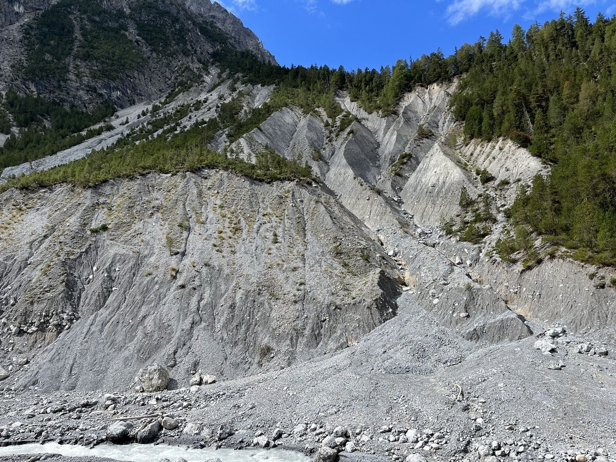
Vegetation at the Clemgia River (orchids)
Lai Nair
Tarasp Castle
Witches' Stone near Sgné
Stop at the Avrona guesthouse
Stop at the Büvetta Sfondraz
Kamery internetowe z trasy
Uzyskaj wgląd
Zawsze na żywo z ponad 9 500 kamer internetowych. bergfex Jako użytkownik Pro, możesz teraz zobaczyć odpowiednie kamery internetowe dla wielu wycieczek w aplikacji wycieczki od. Pozwala to na bezpośredni podgląd aktualnych warunków.
Popularne wycieczki w okolicy
-
4,5
Rundwanderweg Wattles und Sesvenna
światłoWędrówka 16,4 km -
4,0
National Park: Margunet
światłoWędrówka 7,76 km -
4,5
Tarasp Fontana – Sparsels – Lai Nair (circular route)
światłoWędrówka 7,67 km -
5,0
San Jon – Chamonna Lischana (return)
średniWędrówka 12,0 km -
4,0
Prui – Piz Clünas – Alp Laret – Ftan
średniWędrówka 13,6 km -
5,0
3 Länder Tour Uinaschlucht MTB
ciężkiMountainbike 74,6 km -
4,5
Bergwanderung Schlinig -Seswenahütte
średniWędrówka 13,6 km -
5,0
National Park: Mot Tavrü
średniWędrówka 12,0 km -
Suspension Bridge Trail Val Sinestra – Zuort – Griosch – Vnà
średniWędrówka 11,0 km -
2,8
Motta Naluns- Sent-Scuol
średniWędrówka 13,1 km
Wędrówki i tropienie


Nie przegap ofert i inspiracji na następne wakacje
Twój adres e-mail została dodana do listy mailingowej.





