


World Monument Salginatobel Bridge - Historical Circular Route
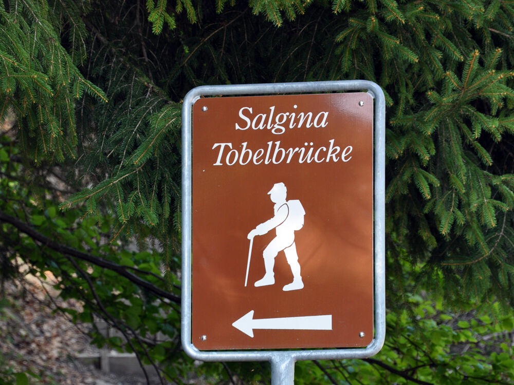
The circular route starts at the Chalchofen Hut in the Schraubach Gorge. The path is already signposted from the station and leads from the hut in about an hour around the world monument and back to the...
The circular route starts at the Chalchofen Hut in the Schraubach Gorge. The path is already signposted from the station and leads from the hut in about an hour around the world monument and back to the starting point.
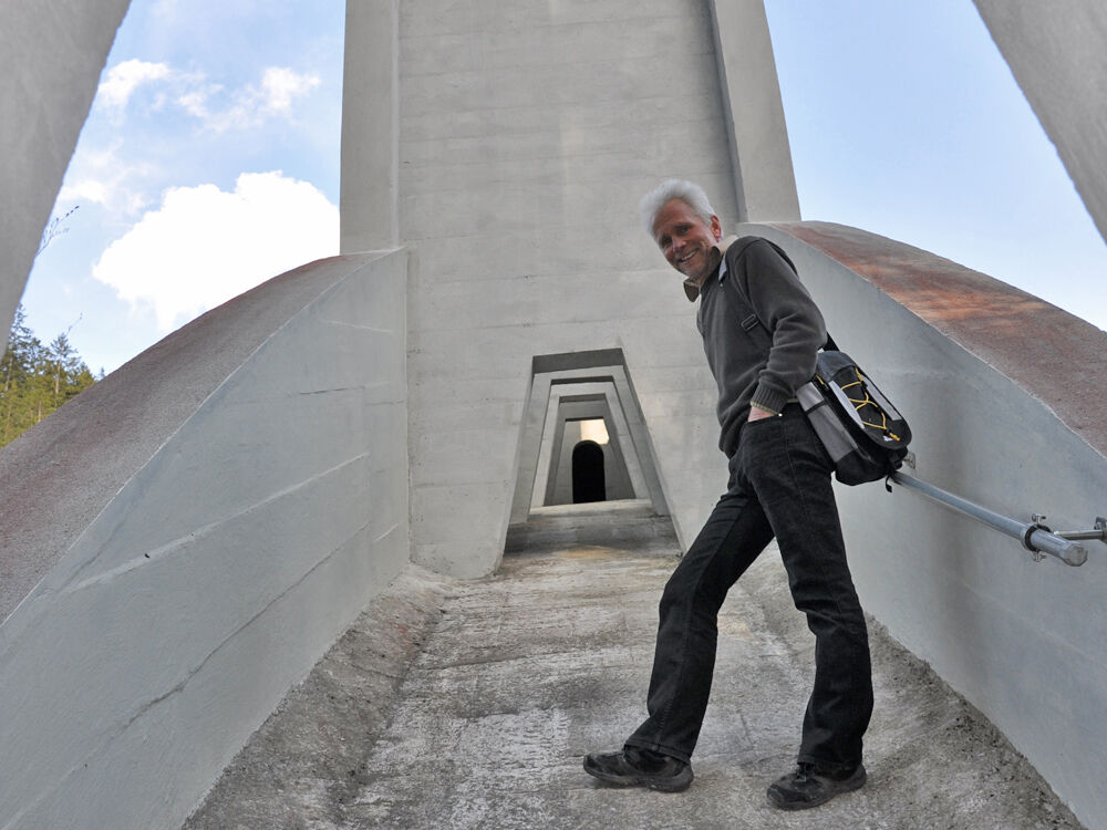
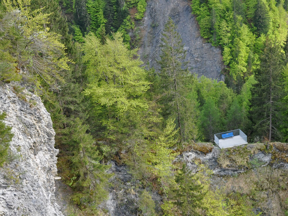
The view from the bridge into the gorge is simply magnificent! Over 90 meters the gaze wanders into the depths before you can see the stream far below. Those who want can take a detour under the bridge, the hollow box is partially accessible and very impressive. 100 meters after the bridge, the hiking trail then leads back towards the valley. Look back and marvel at the engineering feat that has given the people of Schiers the only engineering world monument in Switzerland.

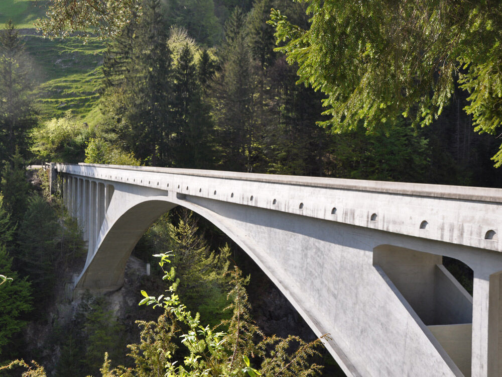

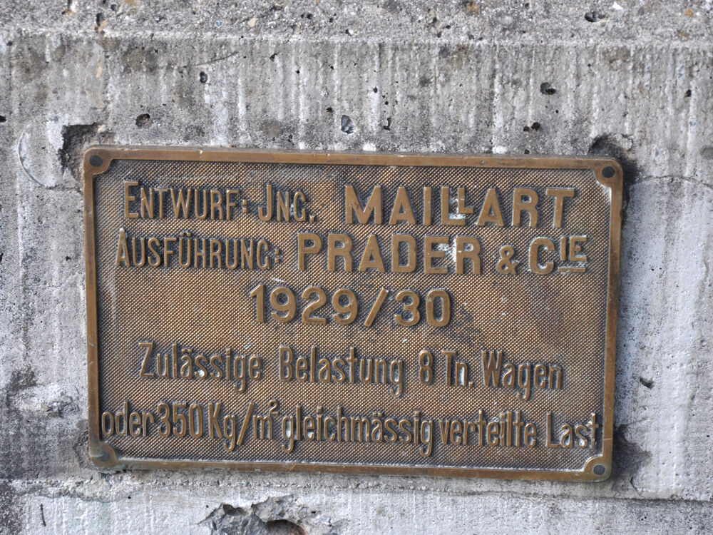
It is worth looking back now and then in astonishment of the engineer's skill which has granted the population of Schiers the only World-Monument of Switzerland.
Via the A13 and A28 to Schiers, exit Schiers West. Follow the signage "Circular Route".
By the Rhaetian Railway RhB to Schiers (910 timetable field).
Free parking at the Chalchofen Hut in the Schraubach Gorge. The only parking near the bridge is about 250 m west of the bridge. Attention: No turning options after the bridge for motorhomes. This access is not suitable for trailers (caravan combinations).
Prättigau Marketing
Feldweg 19
CH-7233 Jenaz
Tel. +41 (0)81 325 11 11
info@praettigau.info
www.praettigau.info
You will find any further information about the Salgina-World-Monument Bridge on the homepage of Prättigau Tourism.
Popularne wycieczki w okolicy
-
5,0
Ski tour to the Lindauer Hut (1,744 m)
światłoWycieczka narciarska 14,0 km -
4,7
Smuggler’s path
średniTrasa tematyczna 8,60 km -
4,4
Golm-Rundwanderweg im Rätikon
średniTrasa tematyczna 7,28 km -
4,2
Golmerbahn Bergstaion Grüneck - Golmer Höhenweg - Geißspitze - Lindauer Hütte - Latschau
średniWędrówka 11,5 km -
5,0
Douglasshütte, Lünersee, Gafalljoch Brand bei Bludenz, Vorarlberg
światłoWędrówka 9,16 km -
3,7
Fürstin-Gina-Weg
Wędrówka 10,7 km -
3,0
Bergstation Grüneck Golmerbahn - Alpe Latschätz - Lindauer Hütte - Latschau
światłoWędrówka 11,1 km -
4,7
Douglashütte - Schesaplana
średniWędrówka 7,31 km -
3,3
Wanderbares Zalimtal
średniWędrówka 12,2 km -
5,0
Around the Kirchlispitzen (2,552 m)
ciężkiWędrówka 14,8 km

Wędrówki i tropienie


Nie przegap ofert i inspiracji na następne wakacje
Twój adres e-mail została dodana do listy mailingowej.