






Runchett da Sotsassa

Poschiavo lies at around 1000 meters above sea level. However, thanks to its southern exposure and relatively mild climate, the conditions here are favorable for growing fruit and vegetables - in contrast...
Poschiavo lies at around 1000 meters above sea level. However, thanks to its southern exposure and relatively mild climate, the conditions here are favorable for growing fruit and vegetables - in contrast to the neighboring Engadin, which was supplied with fresh produce from Valposchiavo via the Bernina Pass until the Second World War.
For this purpose, slopes were terraced in the valley to create areas for growing vegetables. The former gardens have disappeared and in some places the forest has reclaimed the terrain, but the original, stepped terrain is still clearly visible in some places.
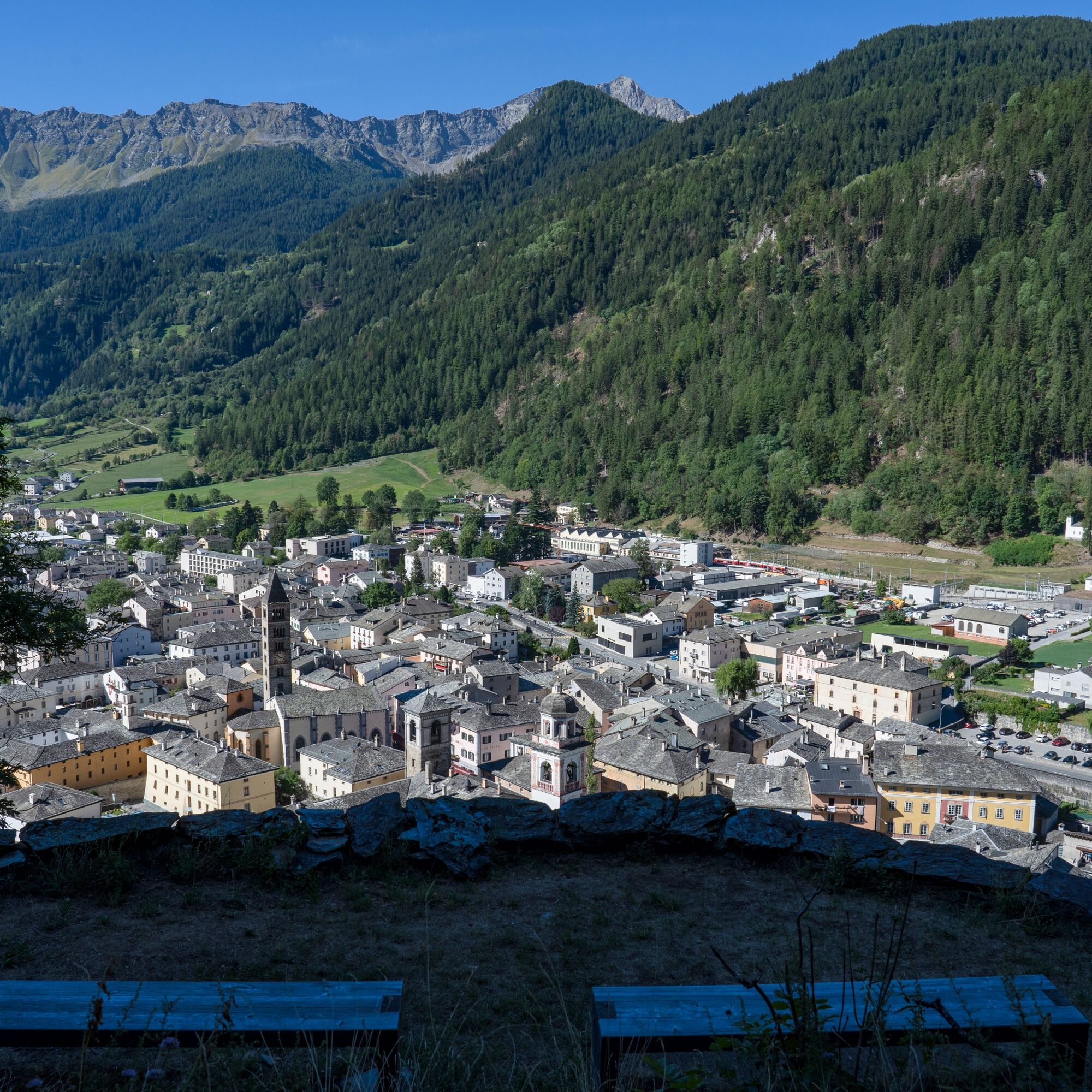
Such relics are particularly visible from Runchett Sotsassa. The viewpoint is just over a hundred meters higher than the valley floor, but offers a magnificent view of the small town and the surrounding mountains. At two relatively flat spots, wooden benches invite you to linger and enjoy the view.

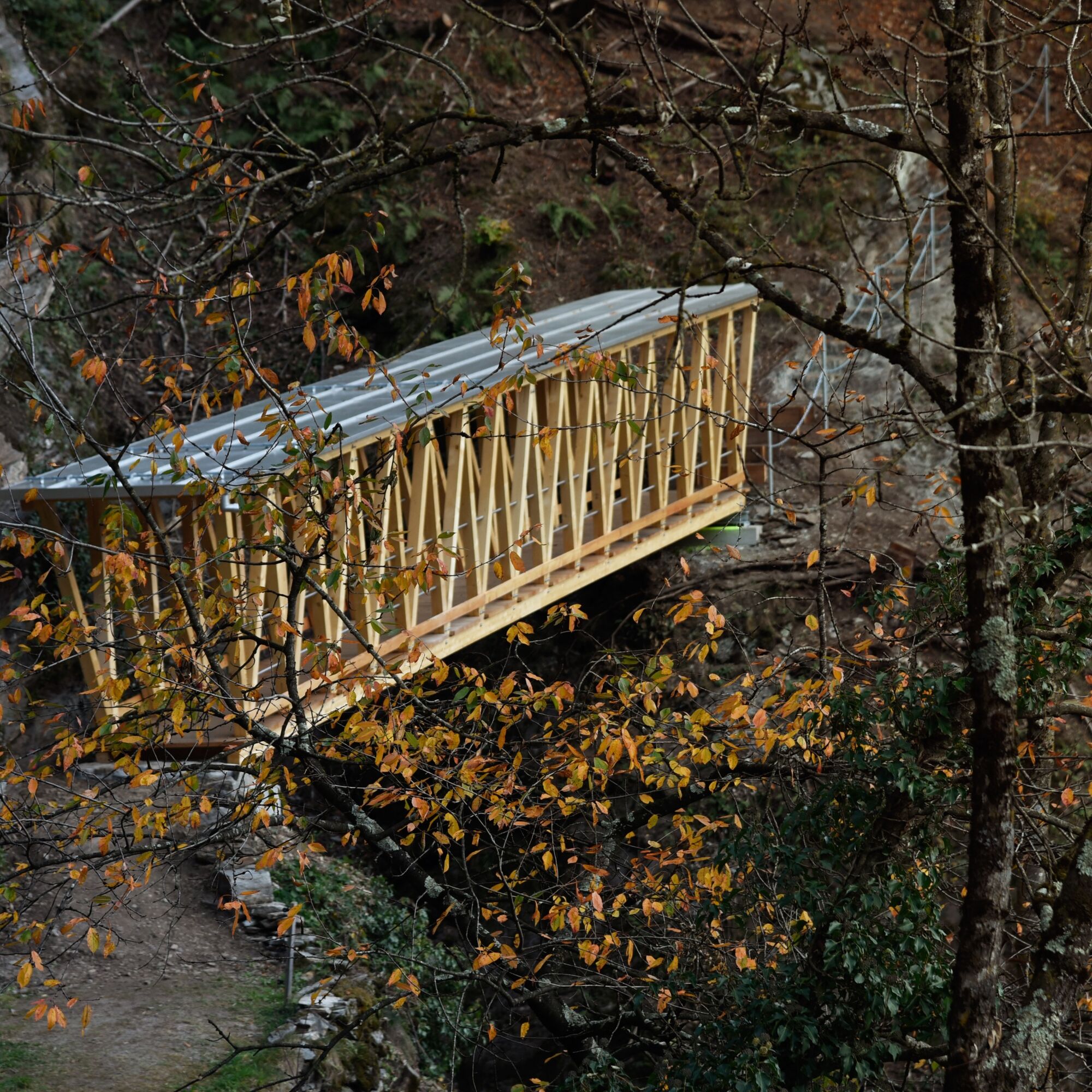
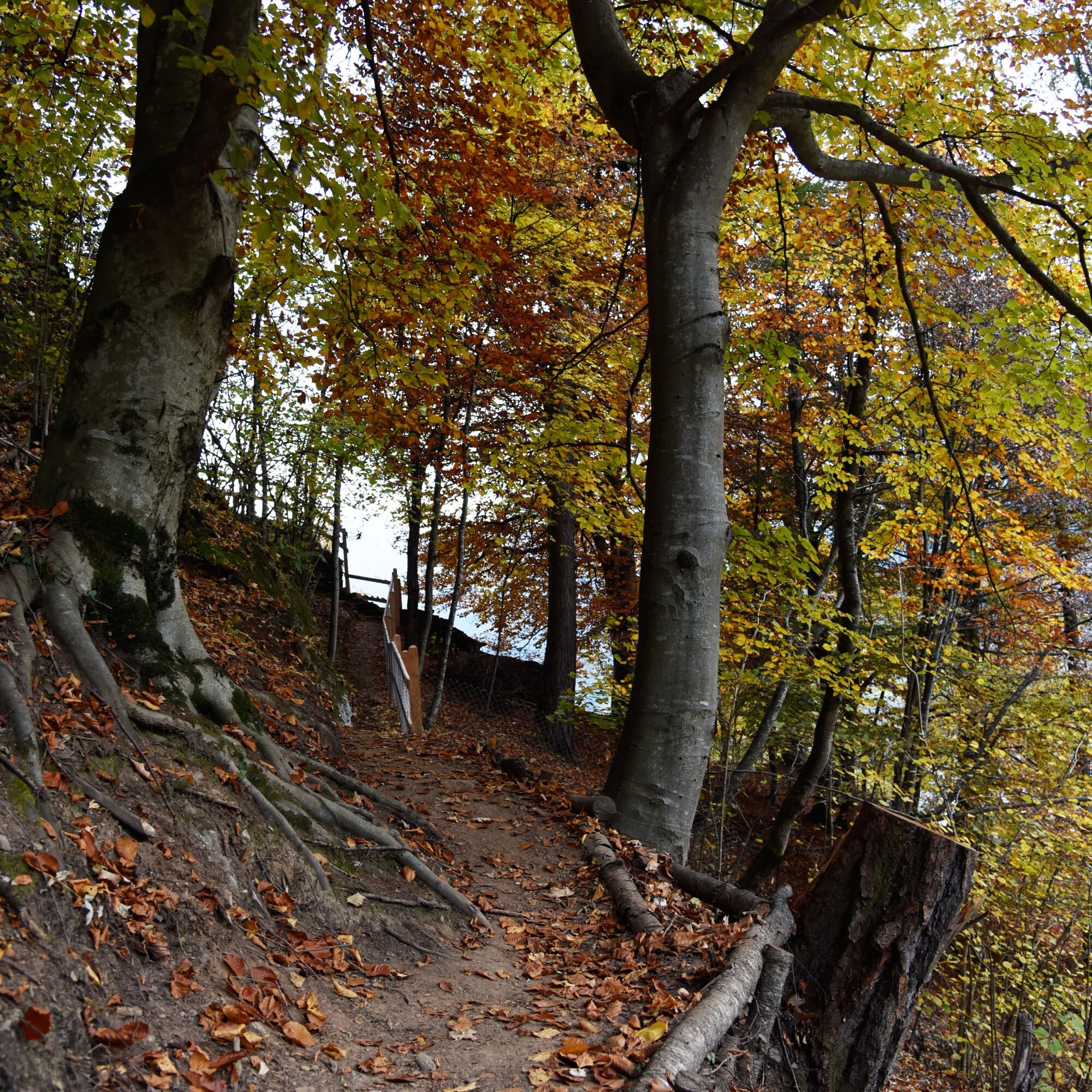
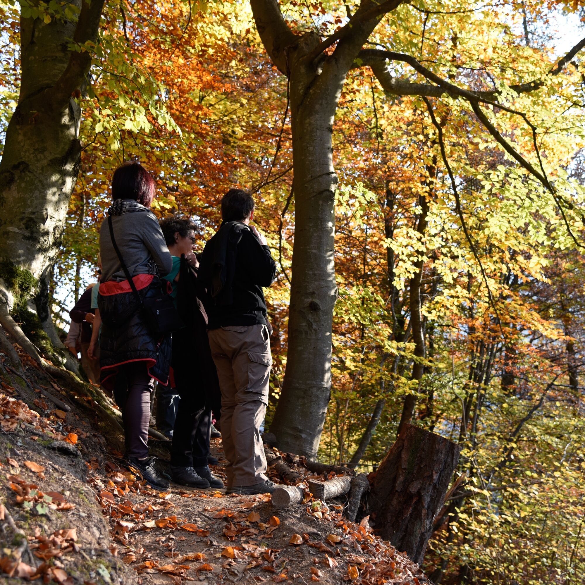
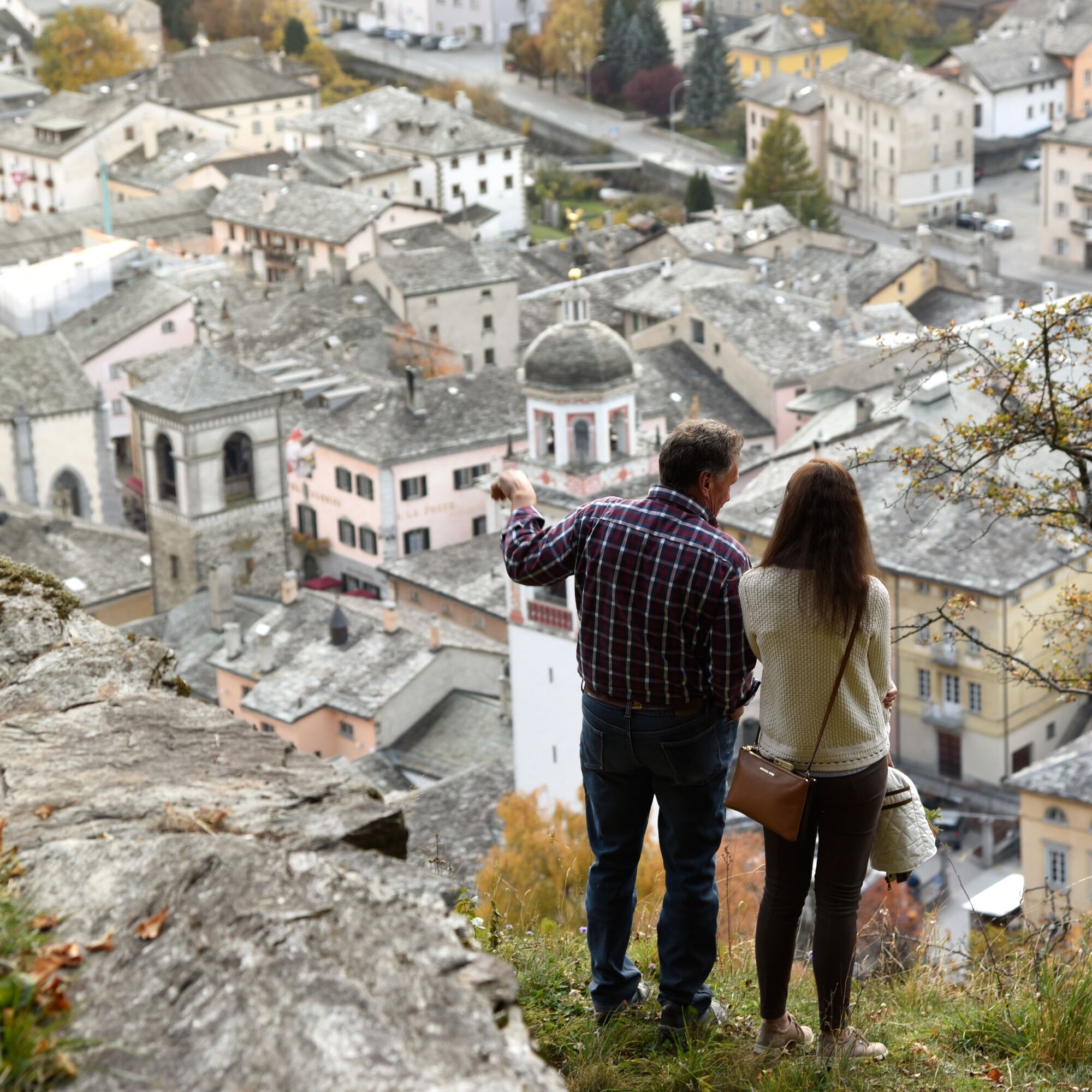
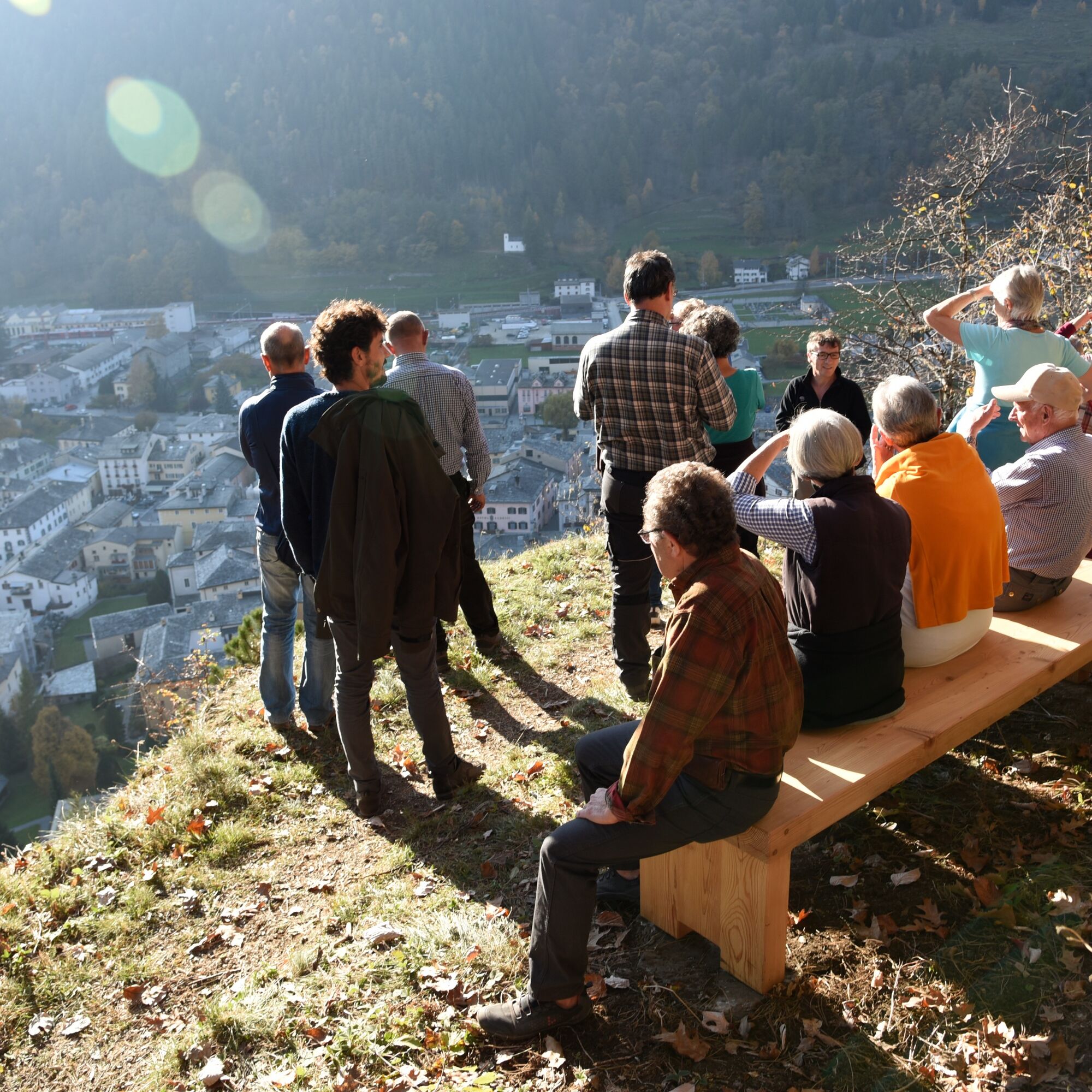
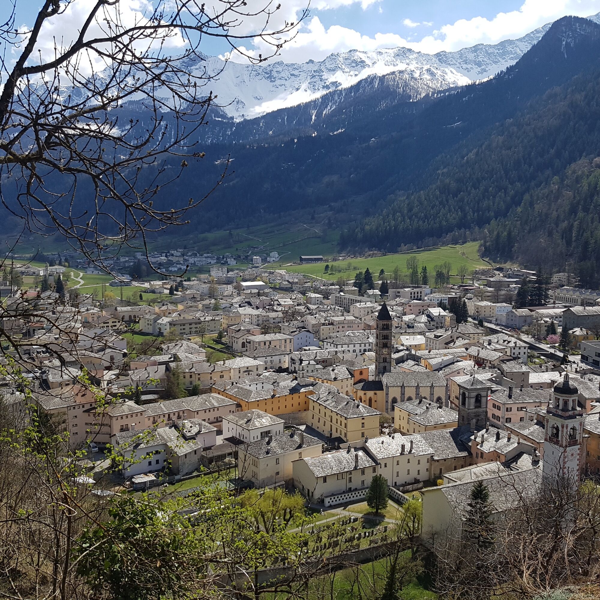
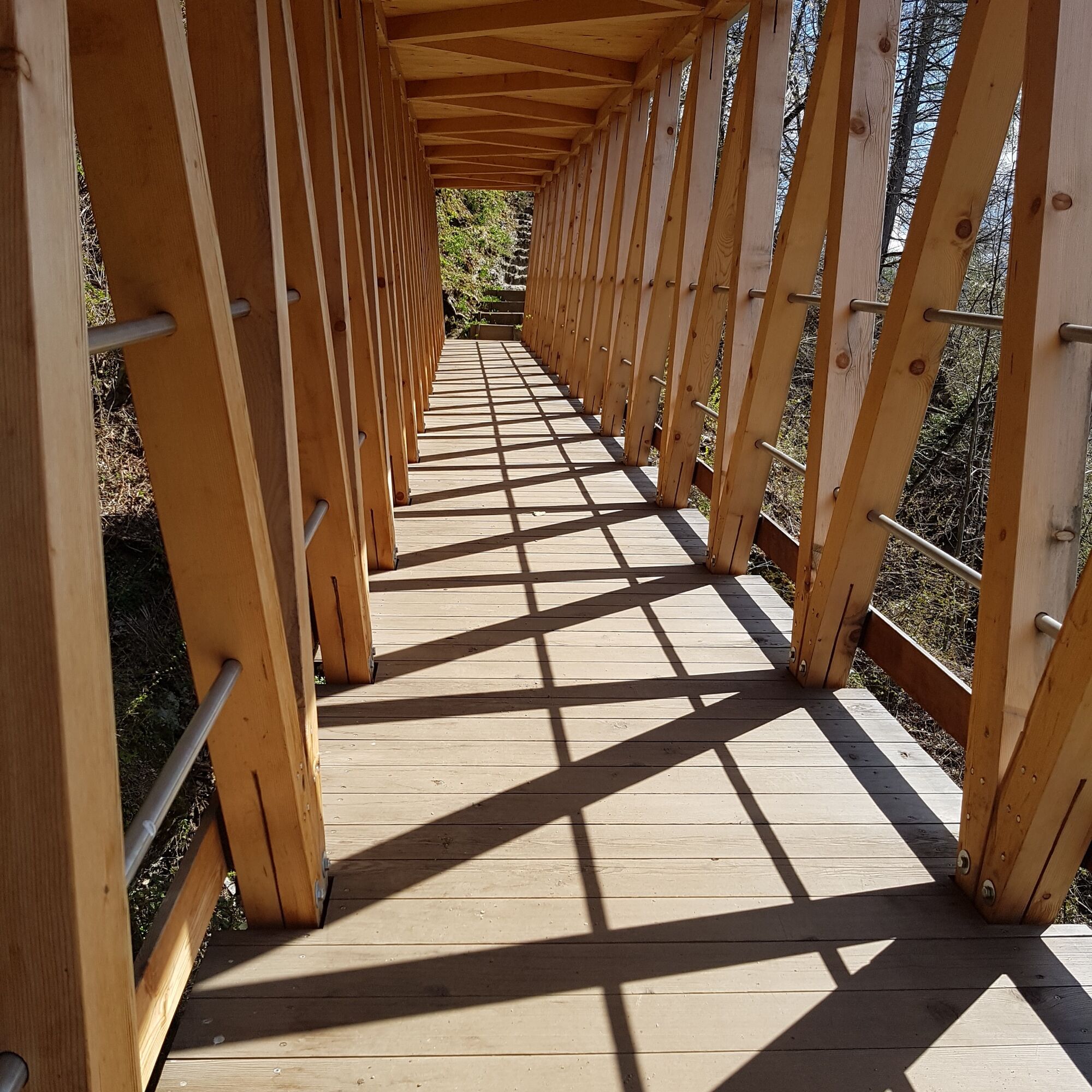
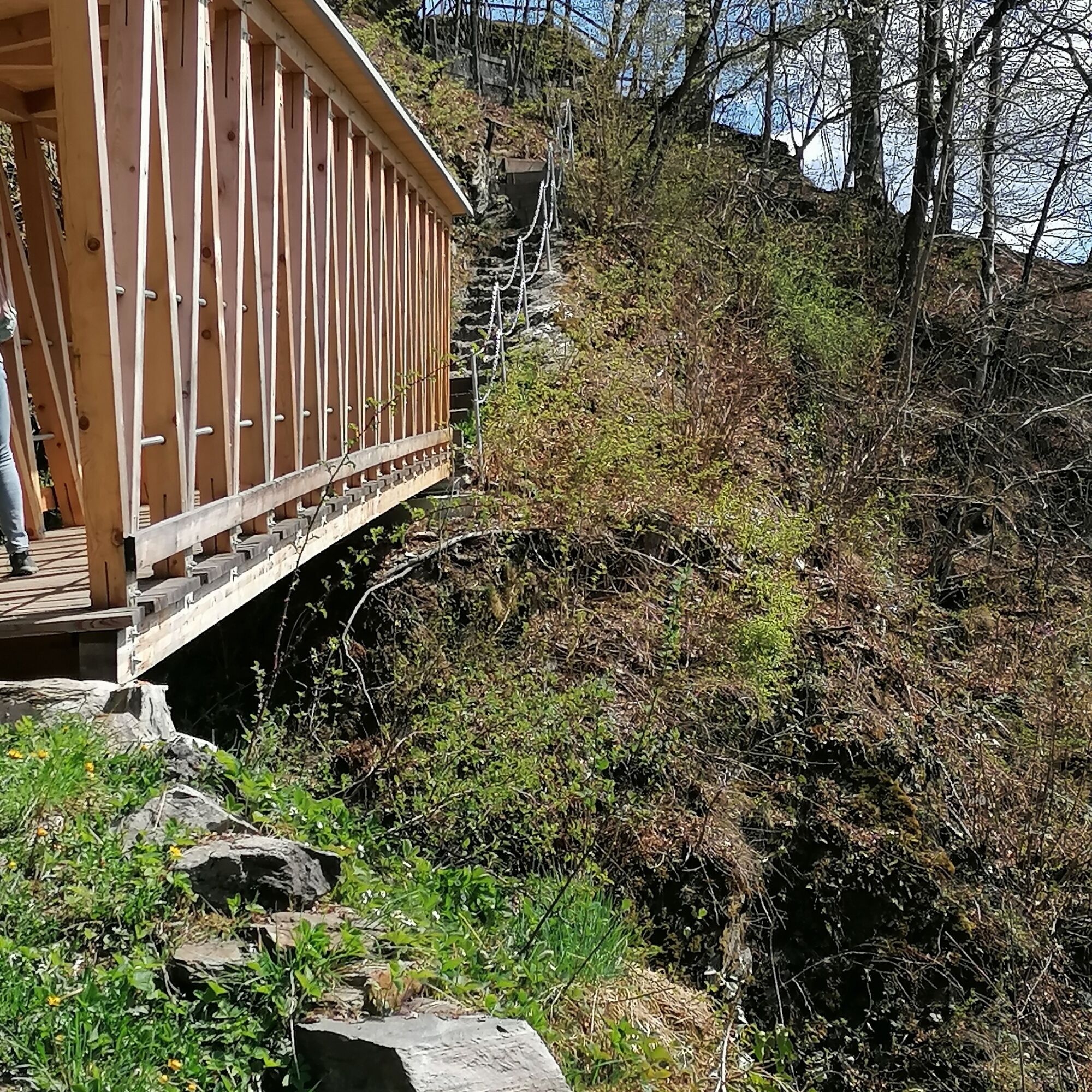
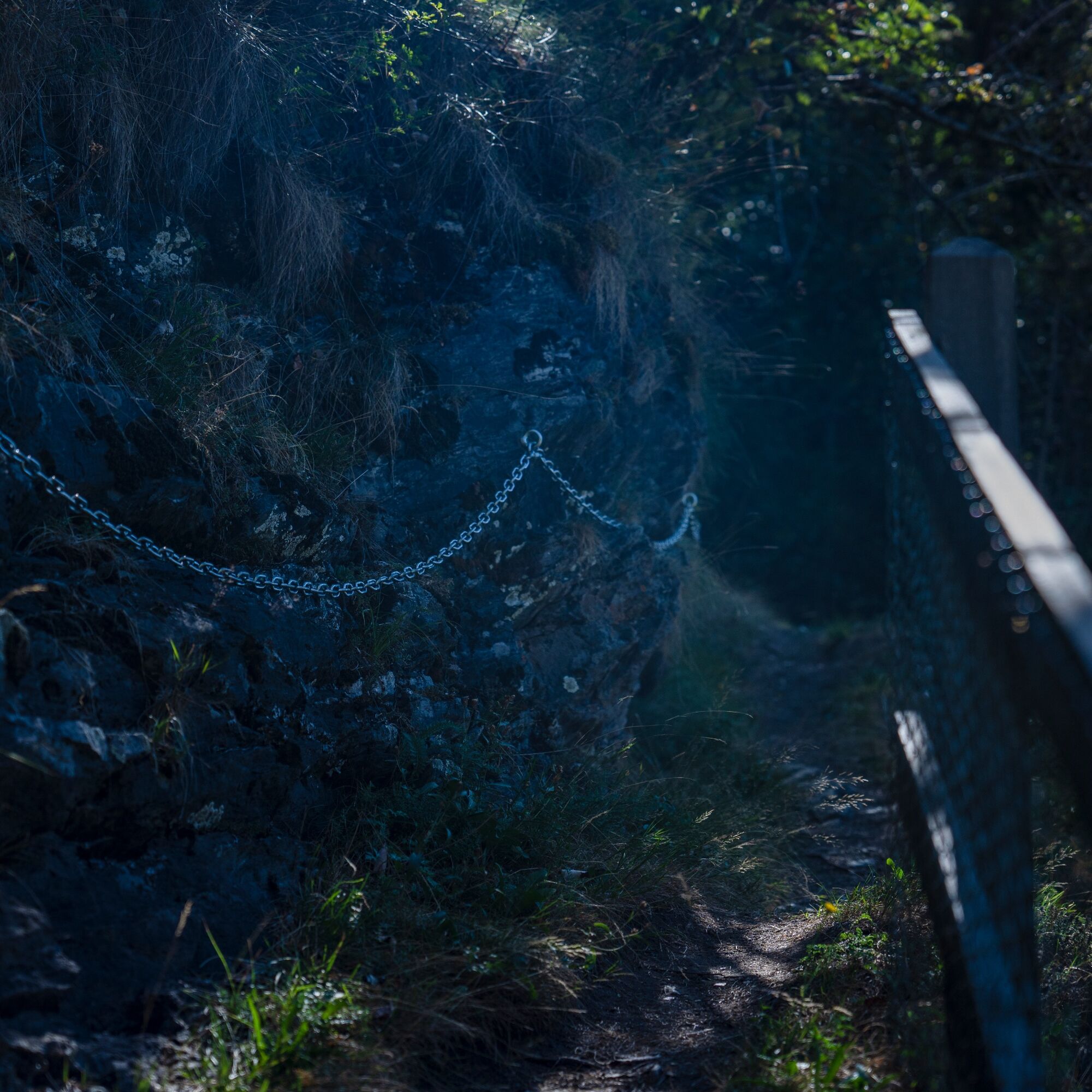
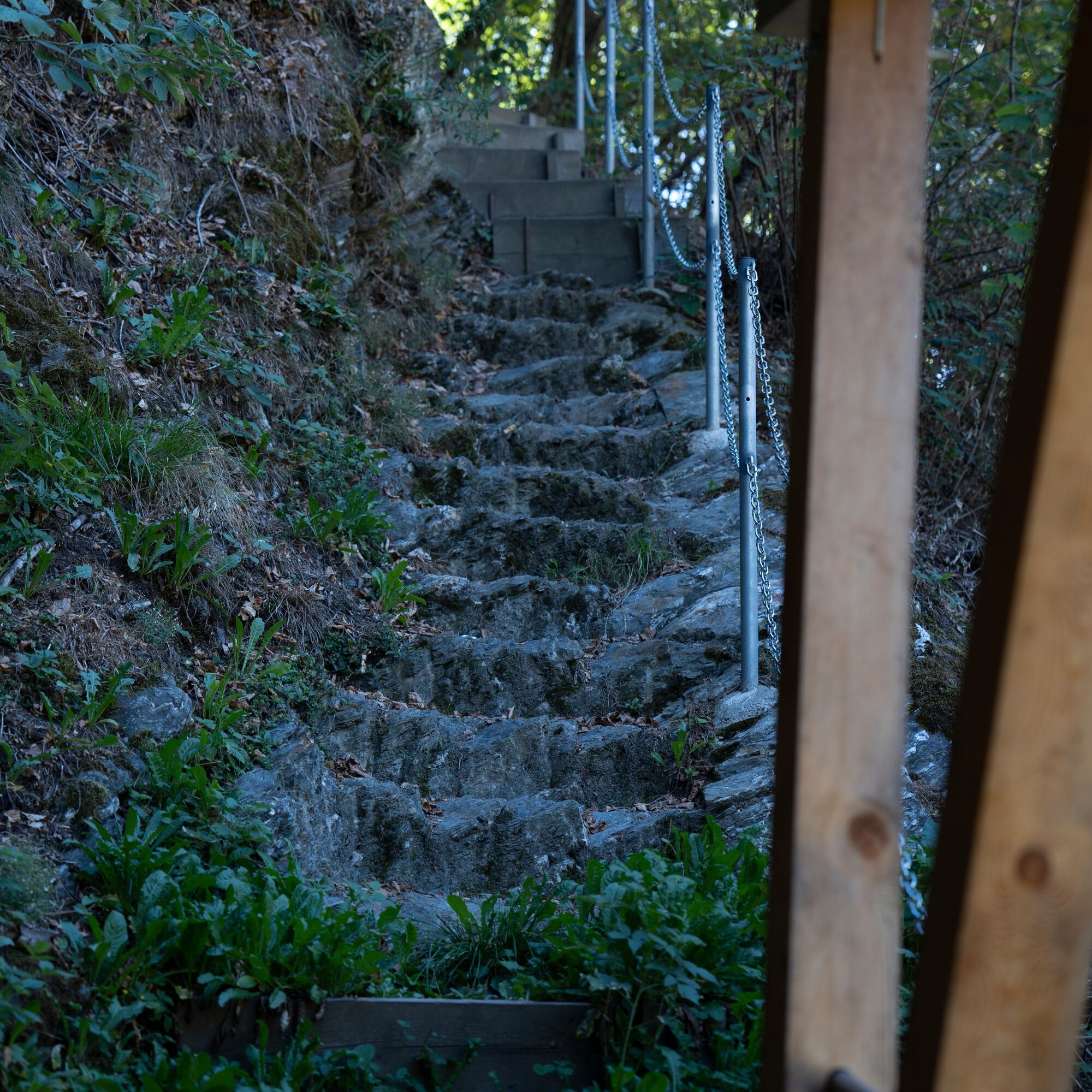
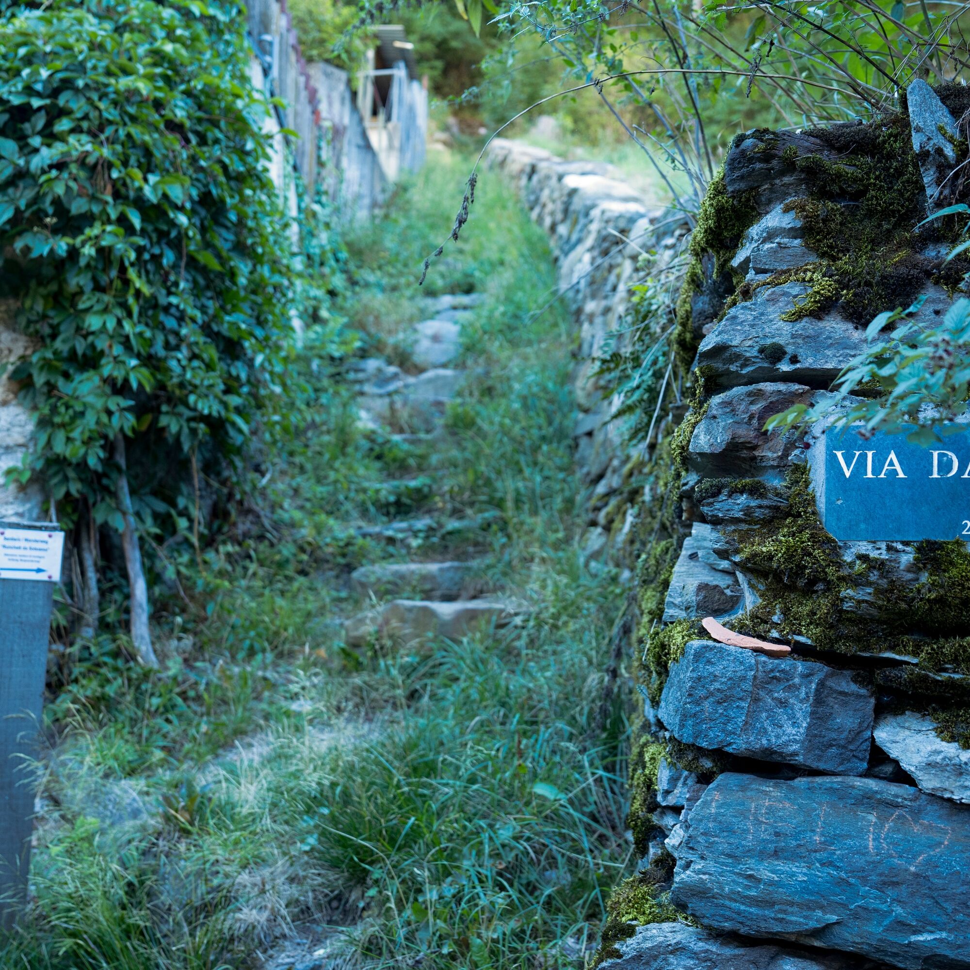

The route is signposted as a mountain hiking trail (white-red-white, difficulty level T3). The starting point of the circular hike is Poschiavo railroad station. Cross the town to reach the northern edge of the old town center. From there, a narrow path leads across meadows and through woods to Ronchett Sotsassa. Despite its proximity to the settlement area, the route should not be underestimated: The terrain is exposed in places; an almost vertical couloir is overcome with a covered wooden bridge, while another, equally exposed area is secured on the slope side with chains. You return to the station via Via da Palaz through the historic town center.
Rather feasible during the summer months.
The Casa Tomé in Poschiavo is one of the oldest farmhouses in the Alps and houses an impressive museum.



Popularne wycieczki w okolicy
-
5,0
Morteratsch station - Boval Hut
średniWędrówka 10,5 km -
4,7
Diavolezza - Munt Pers
światłoWycieczki górskie 3,82 km -
5,0
Mountain hike to Lagh da Saoseo
ciężkiWędrówka 15,0 km -
4,8
Lagalb - Val Minor - Motta Bianca - Lagalb
średniWędrówka 9,80 km -
4,4
Piz Palü (3.905m) – Hochtour
średniWycieczka wysokogórska 13,4 km -
4,5
Diavolezza - Lej da Diavolezza
średniWędrówka 6,22 km -
4,7
Val Nera Waterfalls
światłoWędrówka 5,70 km -
5,0
Diavolezza - Sass Queder
światłoWędrówka 1,55 km -
5,0
Ospizio Bernina Station - Alp Grüm (-Cavaglia)
światłoWędrówka 4,97 km -
4,3
Lago Bianco
Wędrówka 7,91 km
Wędrówki i tropienie


Nie przegap ofert i inspiracji na następne wakacje
Twój adres e-mail została dodana do listy mailingowej.





