


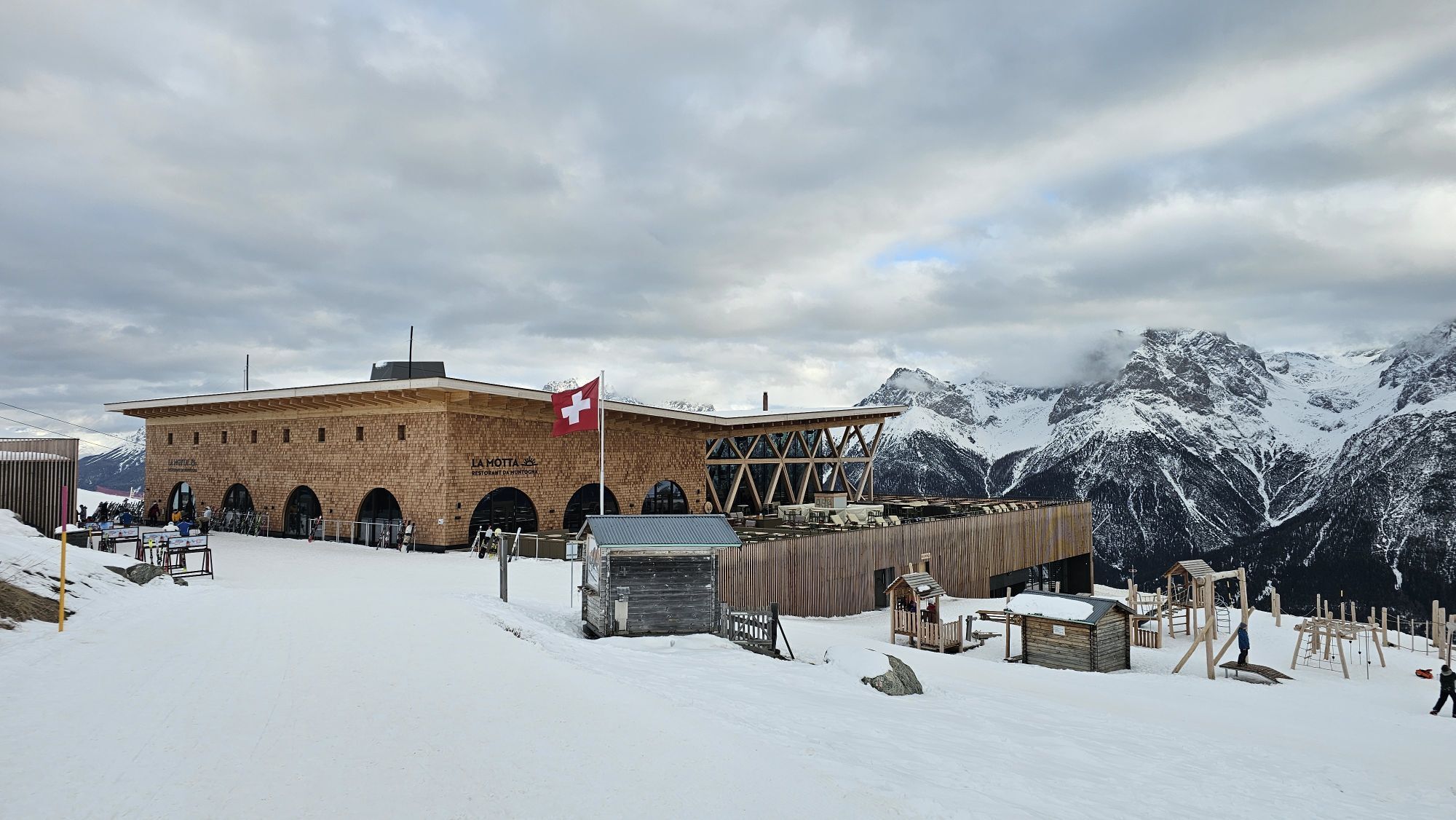
«Geologia Motta Naluns»: Five geological viewpoints spread throughout the ski area
Zdjęcia naszych użytkowników
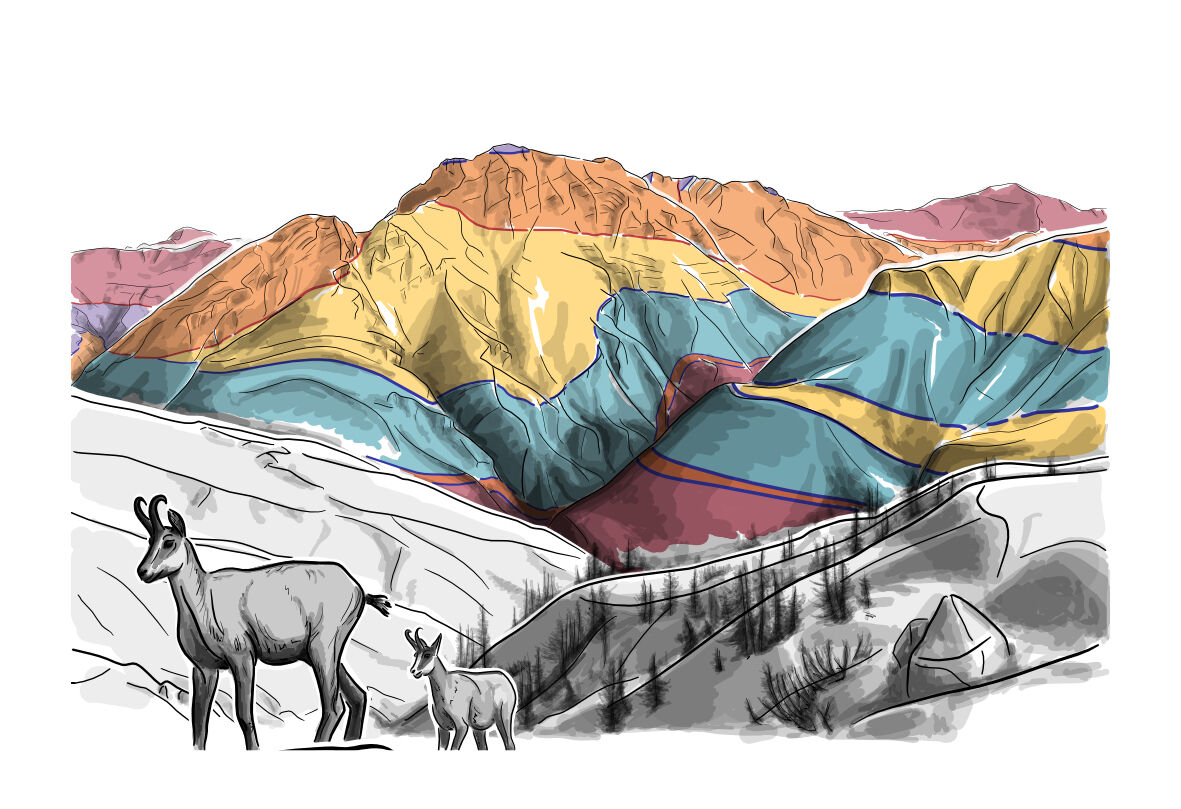
The Geology Trail is an educational hike that reveals how the dinosaur tracks came to be on Piz S-chalambert, why the «Lower Engadine Window» is visited by geologists from all over the world and much more...
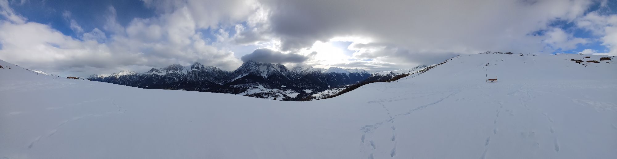
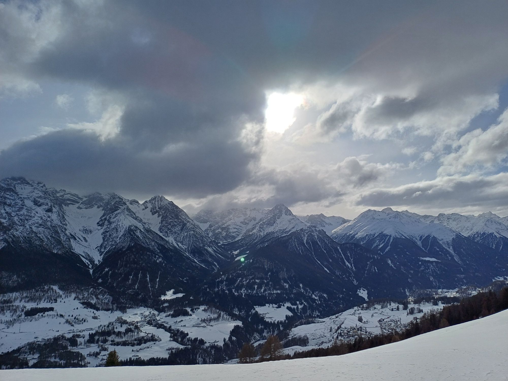
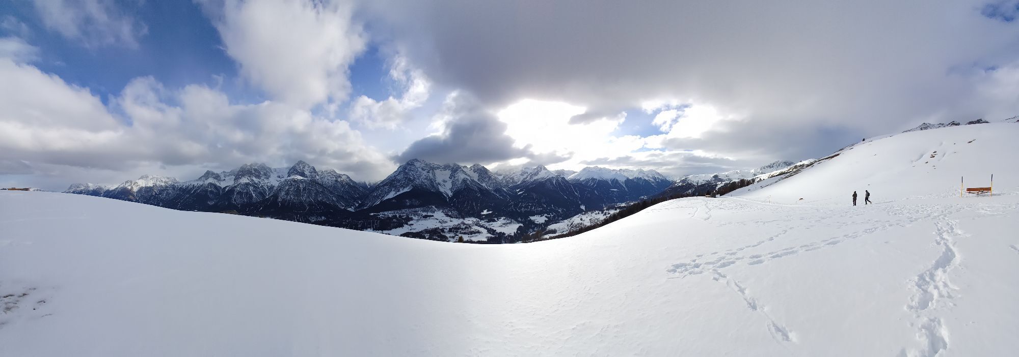
The Geology Trail is an educational hike that reveals how the dinosaur tracks came to be on Piz S-chalambert, why the «Lower Engadine Window» is visited by geologists from all over the world and much more about the structure, history and formation of the mountains around Motta Naluns. At 5 locations, artistic illustration panels direct the viewer's gaze to the real mountains. The coloured areas indicate rock types and phenomena that can be deciphered with the help of a QR code. As an alternative to the digital solution, a brochure is available at the ticket office of the mountain railways.

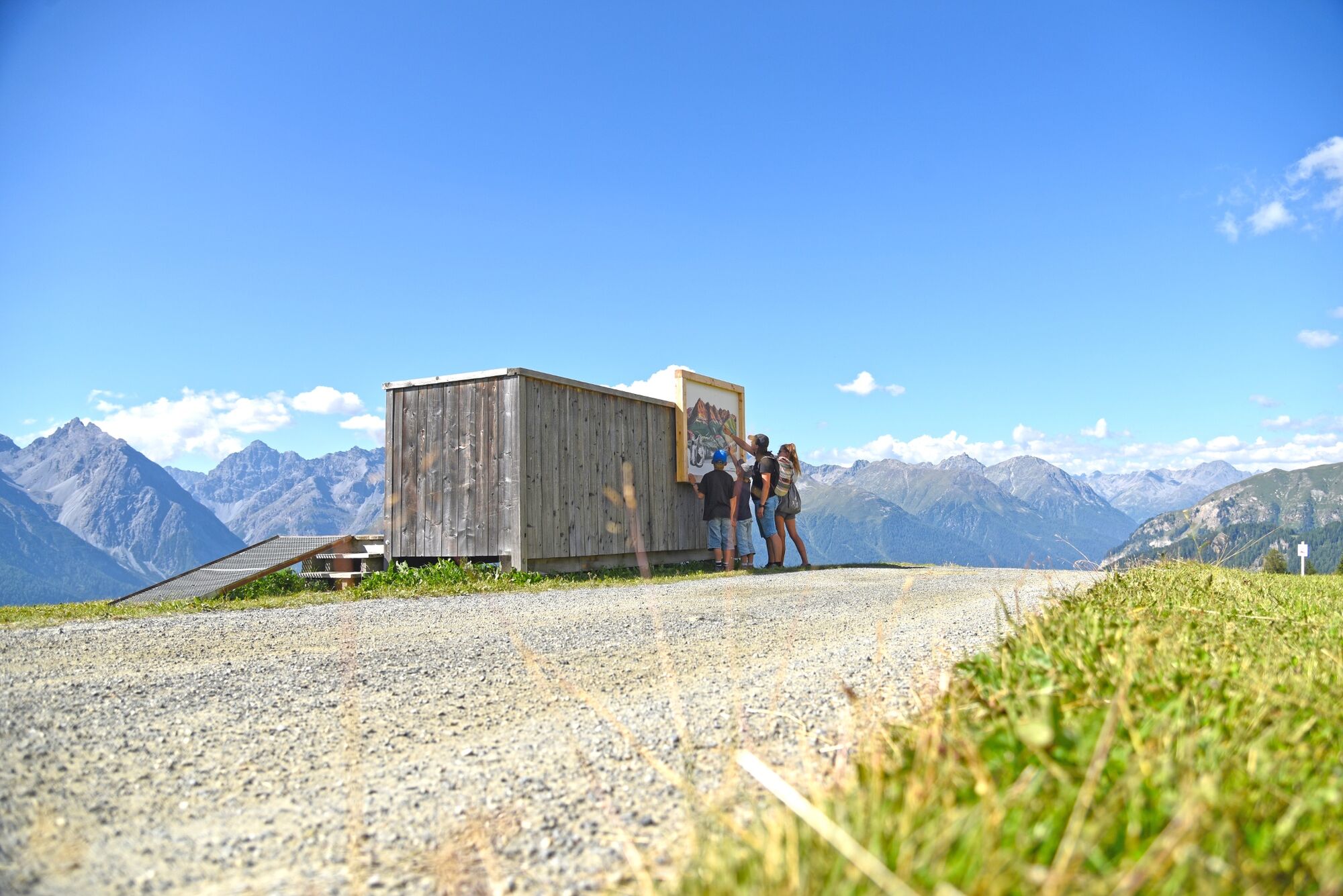
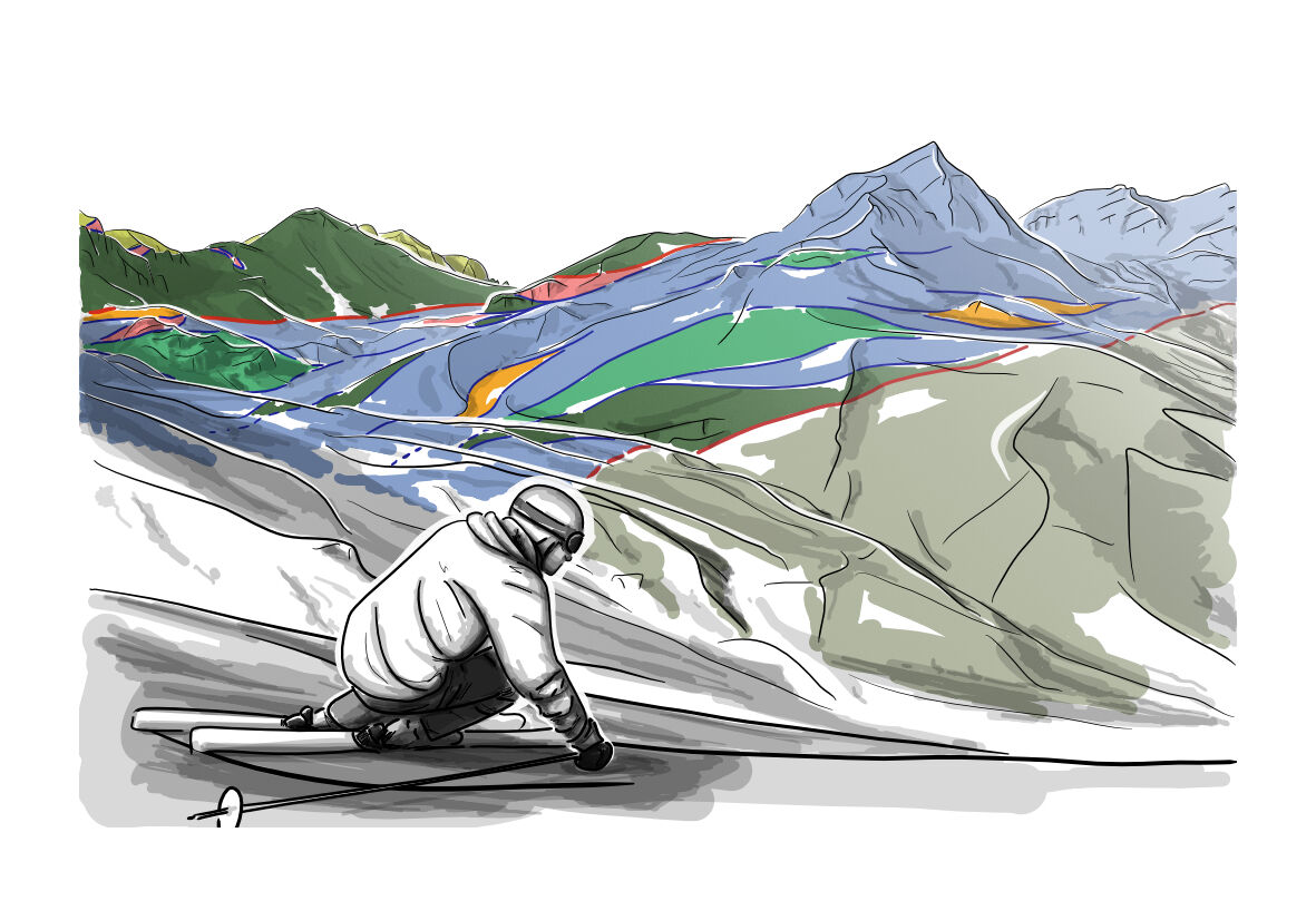
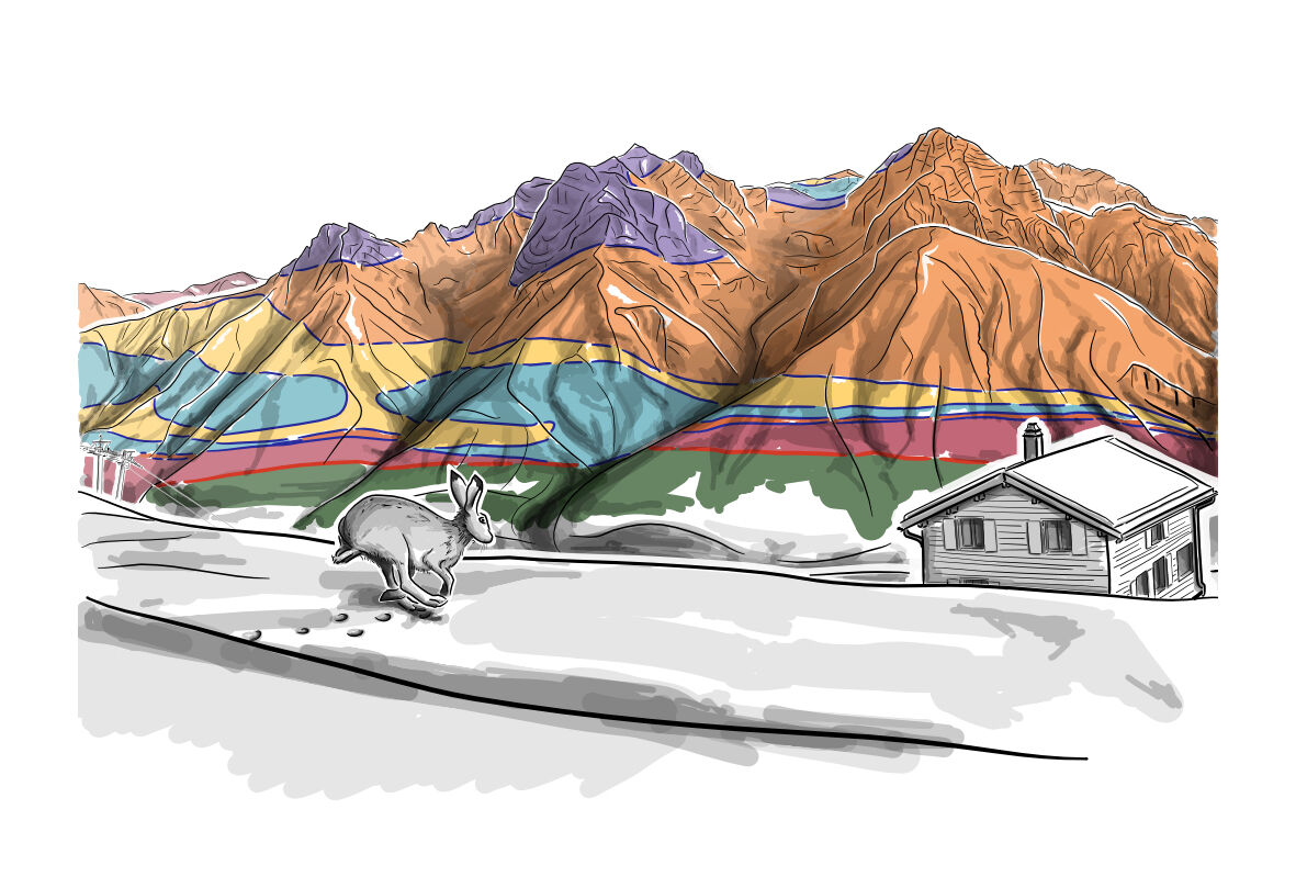
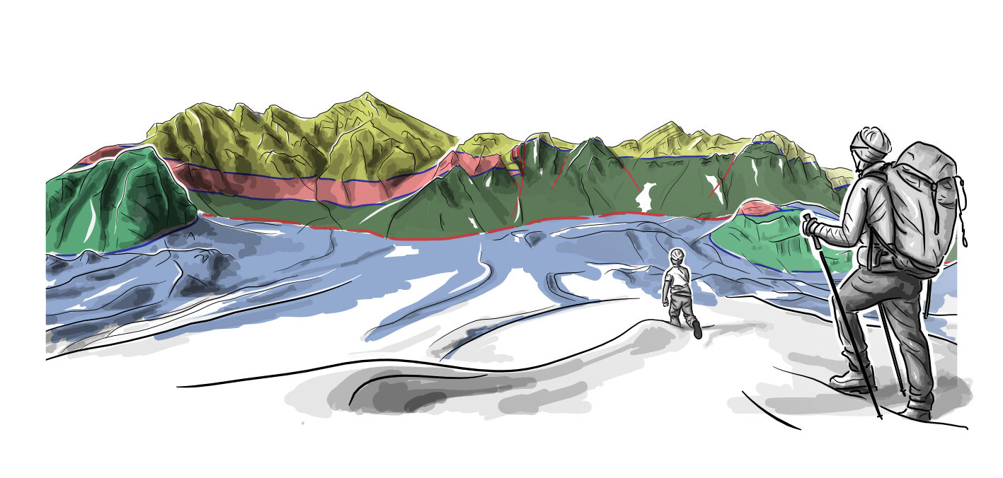

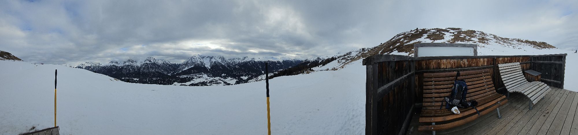
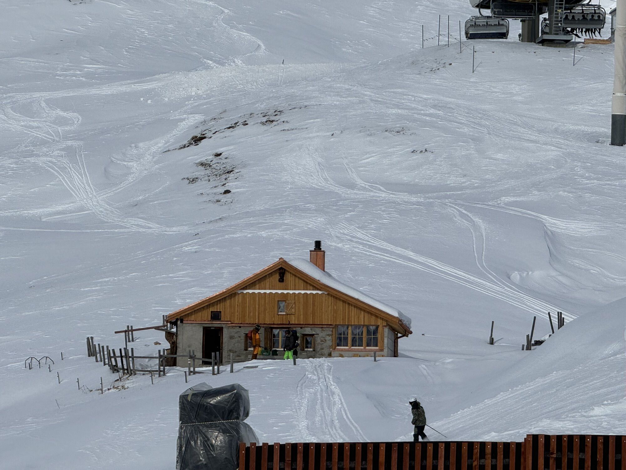
Recommendation to visit all five geological viewpoints: Motta Naluns - Jonvrai (panoramic picture S-chalambert), Jonvrai - Champatsch (panoramic picture Minschun), Champatsch - Lai Schlivera (panoramic picture Champatsch), Lai Schlivera - Motta Naluns (panoramic picture Lischana), Motta Naluns - Prui (panoramic picture Pisoc). The tour can also be done differently, shorter, only partly or in a different order.
Tak
Tak
Good shoes, rain and sun protection, water bottle, first aid kit
Emergency call:
144 Emergency call, first aid
1414 Mountain rescue REGA
112 International emergency call
From the north: via Landquart - Klosters by car transport through the Vereina Tunnel (Selfranga - Sagliains) or via the Flüela Pass, along the Lower Engadine to Scuol
From the east: via Landeck / Austria in the direction of St. Moritz on H27 to Scuol
From the south: via Reschenpass (Nauders-Martina) in the direction of St. Moritz on H27 to Scuol
By train (from Chur, Landquart/Prättigau or from the Upper Engadine) to Scuol-Tarasp
Gondola lift to Motta Naluns mountain station
Parking spaces directly next to the valley station of the Motta Naluns cable cars in Scuol
The different panoramic images are not necessarily linked. The tour can also be done differently, shorter, only partly or in a different order.
Kamery internetowe z trasy
Popularne wycieczki w okolicy
-
4,8
Hiking trail Piz Buin - view
średniWędrówka 14,4 km -
4,7
Jamtal lodge
średniWędrówka 19,6 km -
5,0
Großer Piz Buin (3.312m), Normalweg 2019 über Ochsentaler Gletscher
ciężkiWycieczka wysokogórska 24,1 km -
4,8
National park: Zernez – Munt Baselgia – Macun lakes – Alp Zeznina – Lavin
ciężkiWędrówka 22,9 km -
5,0
Samnaun Dorf – Muttler
ciężkiWędrówka 14,8 km -
2,0
Bielerhöhe - Vermuntkopf - Bielerhöhe
średniWędrówka 17 km -
4,5
Tarasp Fontana – Sparsels – Lai Nair (circular route)
światłoWędrówka 7,67 km -
Ascent of Hohes Rad and stop at the Wiesbadener Hut
ciężkiWędrówka 15,8 km -
4,6
Gaschurn, Wiesbadner Hütte
Mountainbike 6,82 km -
5,0
San Jon – Chamonna Lischana (return)
średniWędrówka 12,0 km

Wędrówki i tropienie


Nie przegap ofert i inspiracji na następne wakacje
Twój adres e-mail została dodana do listy mailingowej.