







Daffodil hike Seewis
Beautiful circular route on the south slope of the Vilan above Seewis, which is unique especially during the daffodil bloom from about mid-May to early June. A specially signposted circular hike leads...
Beautiful circular route on the south slope of the Vilan above Seewis, which is unique especially during the daffodil bloom from about mid-May to early June. A specially signposted circular hike leads you along the most beautiful spots. The daffodil fields are located a good stretch above the village; you reach the first daffodil fields (1300 m above sea level) after a walking time of about 45 minutes. Most of the route leads over paved, low-traffic agricultural and forest roads.

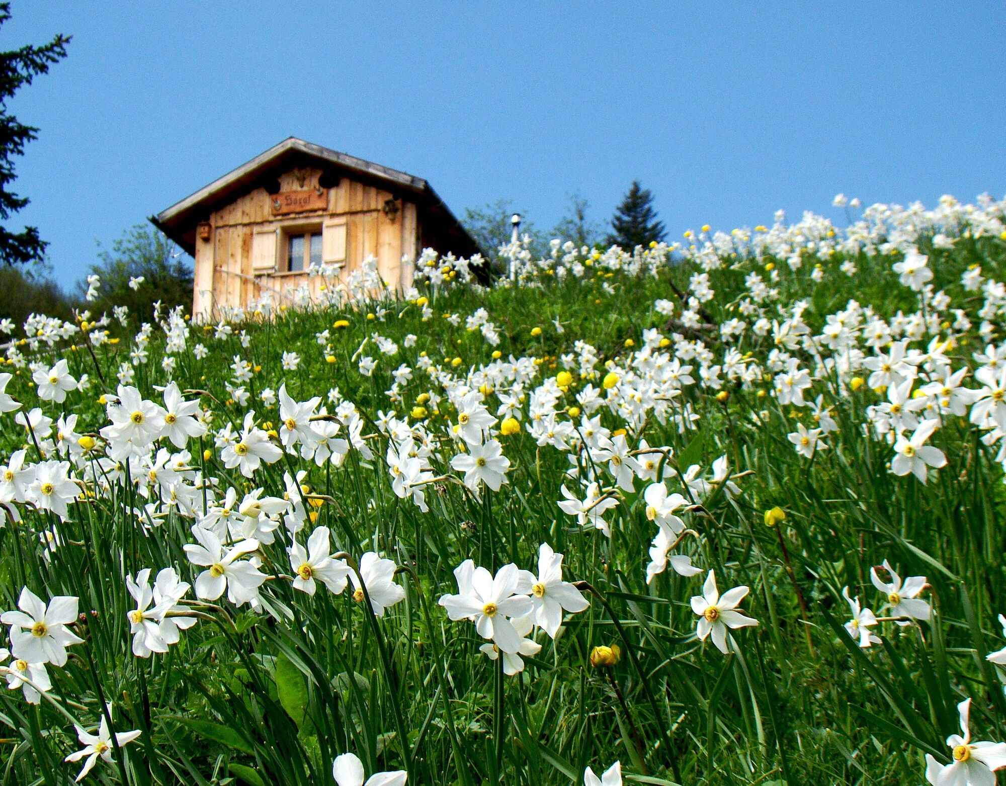
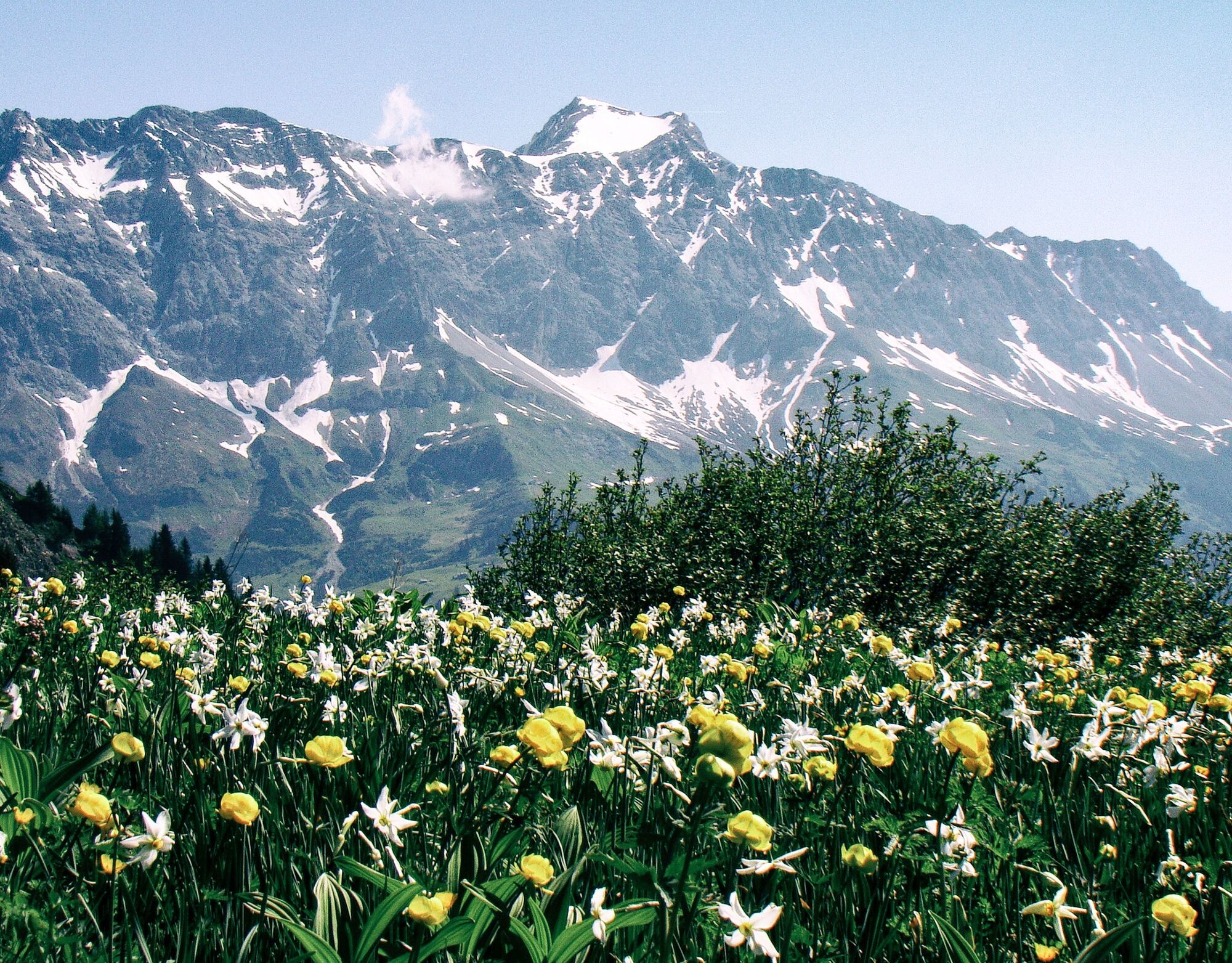
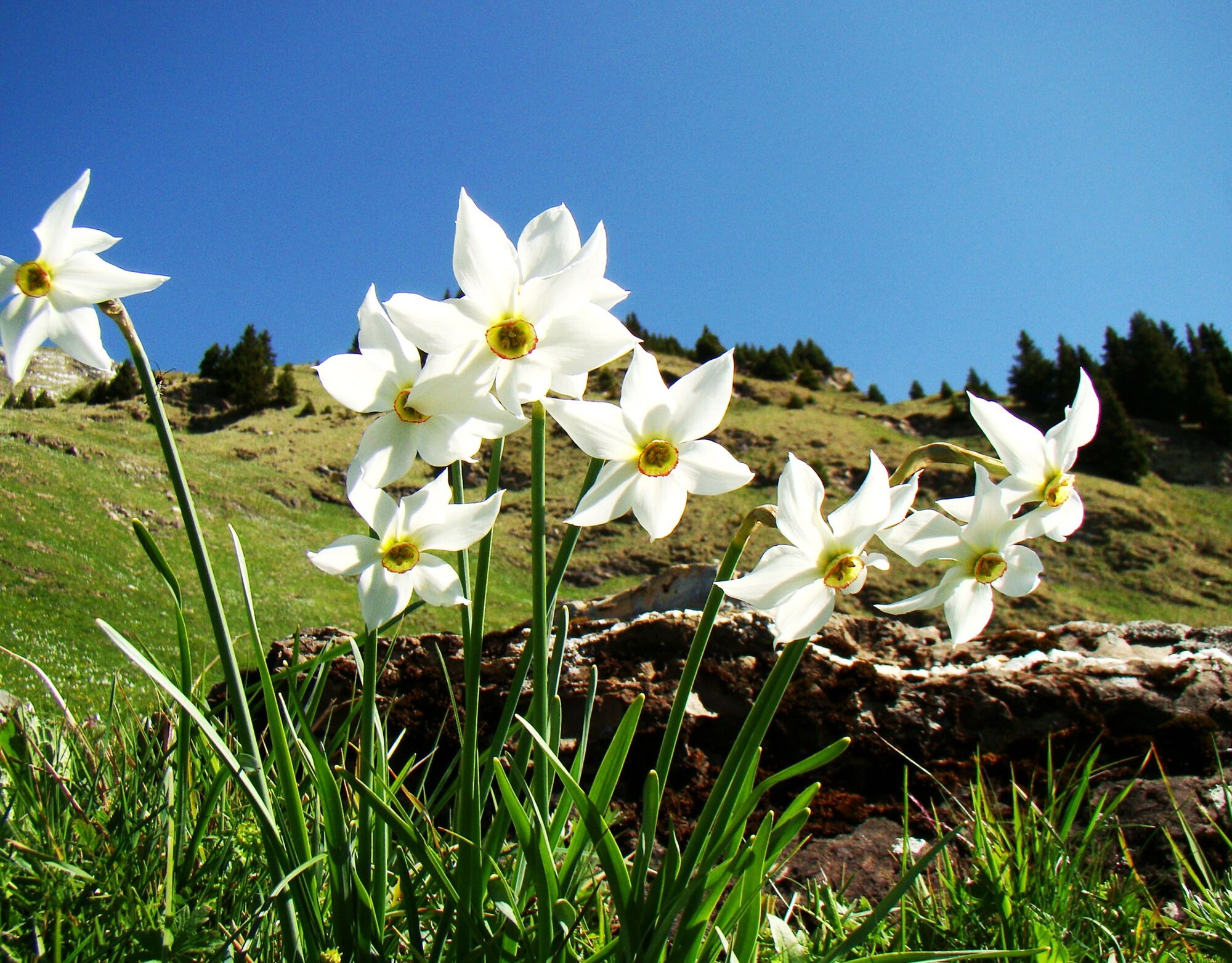
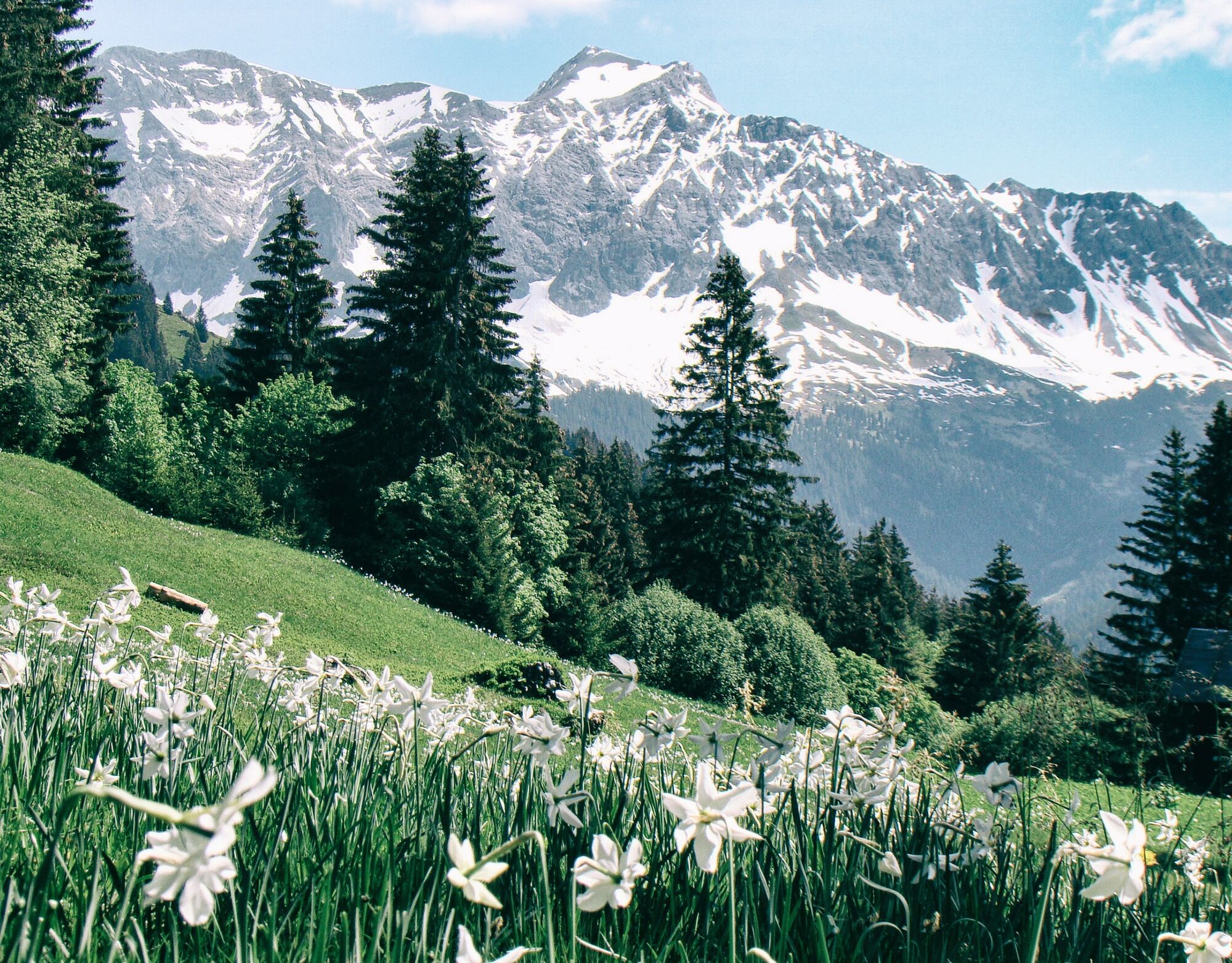
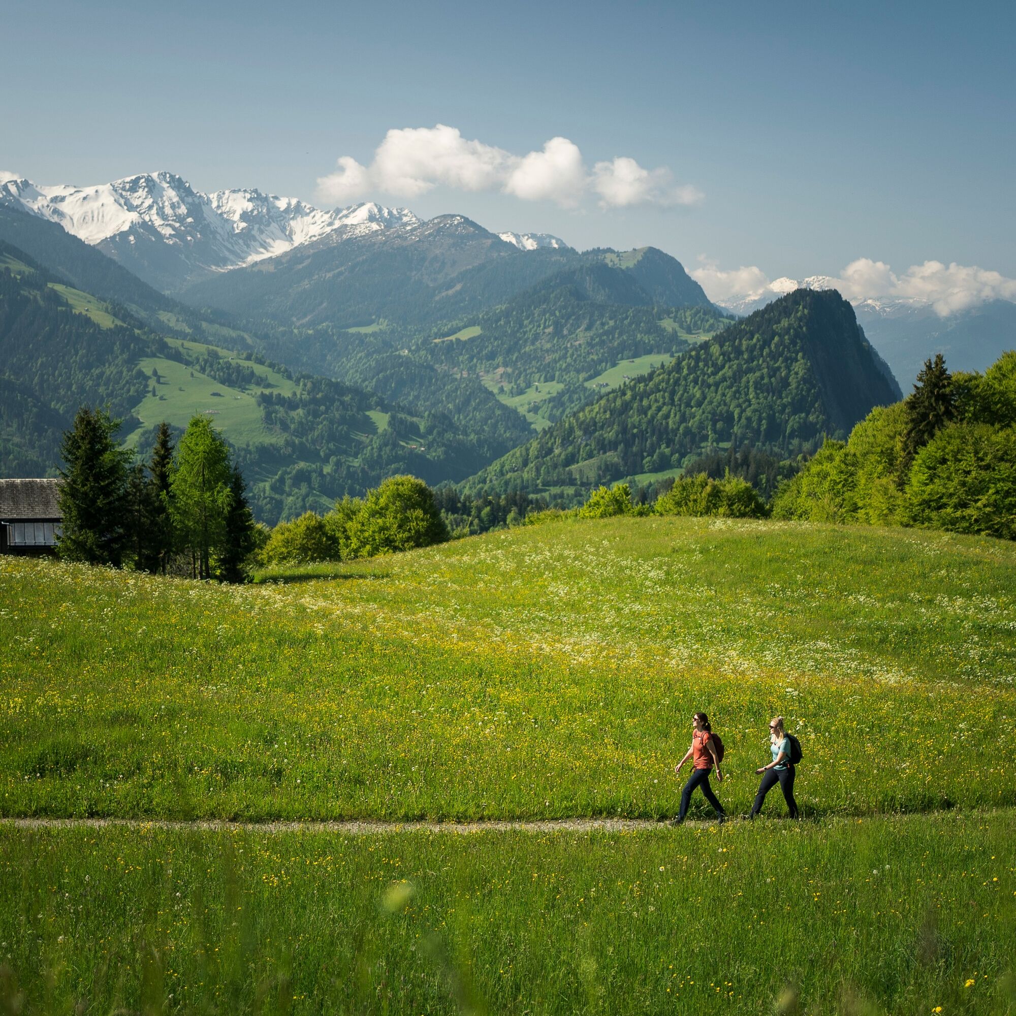
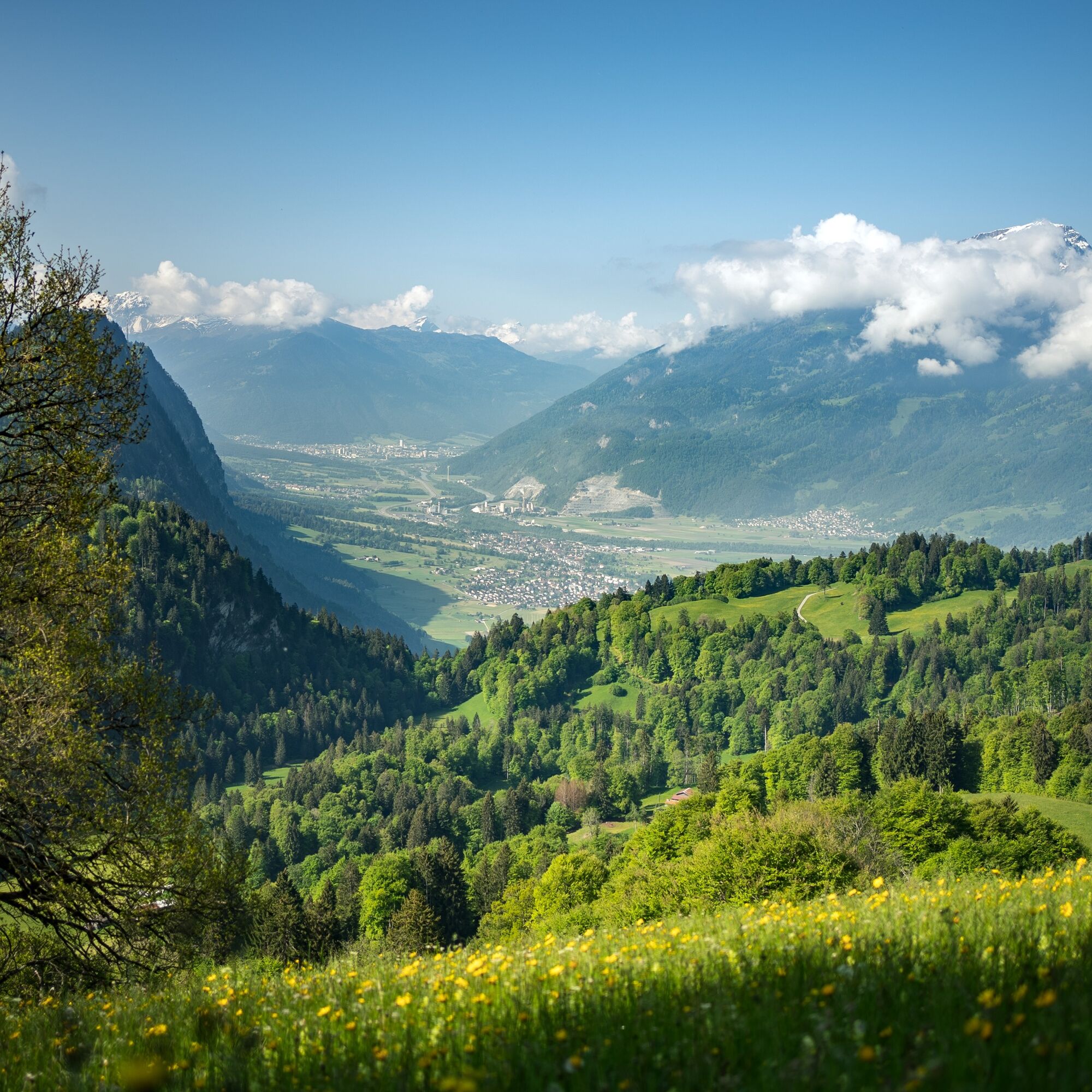
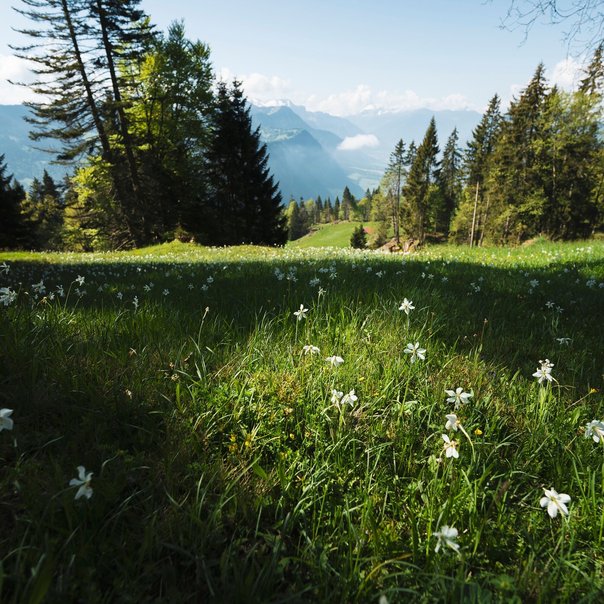

Seewis (947 m) - Fulli - Pilidetta - Stettli (1395 m) - Matan - Pligugg (1417 m) - Pricawalli (1432 m) - Plinezza - Seewis
Tak
good footwear
On the A13 and A28 to Seewis.
Take the RhB to Grüsch and the PostBus to Seewis Village (Schedule field 90.201). Sometimes the PostBus also runs directly from Landquart station to Seewis Village.
Paid parking spaces in the Leschga parking garage or at the Flensa ski lift.
So that visitors do not miss the most beautiful blossoms, the Seewis spa and tourism association provides personal information about the current status of the daffodil bloom: Phone +41 81 330 30 17.
Uzyskaj wgląd Zawsze na żywo z ponad 9 500 kamer internetowych. bergfex Jako użytkownik Pro, możesz teraz zobaczyć odpowiednie kamery internetowe dla wielu wycieczek w aplikacji wycieczki od. Pozwala to na bezpośredni podgląd aktualnych warunków. Popularne wycieczki w okolicy
- 4,8
Douglashütte - Schesaplana
średniWędrówka 7,31 km - 4,9
Douglasshütte, Lünersee, Gafalljoch Brand bei Bludenz, Vorarlberg
światłoWędrówka 9,16 km - 3,7
Fürstin-Gina-Weg
Wędrówka 10,7 km - 3,8
Sassweg - von Malbun zum Sass-Seelein
Wędrówka 4,14 km - 4,9
From Malbun to the Schönberg
średniWędrówka 12,4 km - 4,9
Schesaplana
średniWycieczka wysokogórska 5,26 km - 4,7
Tamina Gorge Circular Route
średniWędrówka 14,0 km - 4,6
Pizalun circular route
światłoWędrówka 7,18 km - 3,3
Wanderbares Zalimtal
średniWędrówka 12,2 km - 4,8
Via Böser Tritt to Lake Lünersee
średniWędrówka 2,06 km
Wędrówki i tropienie


Nie przegap ofert i inspiracji na następne wakacje
Twój adres e-mail została dodana do listy mailingowej.





