







Märliweg Langwies
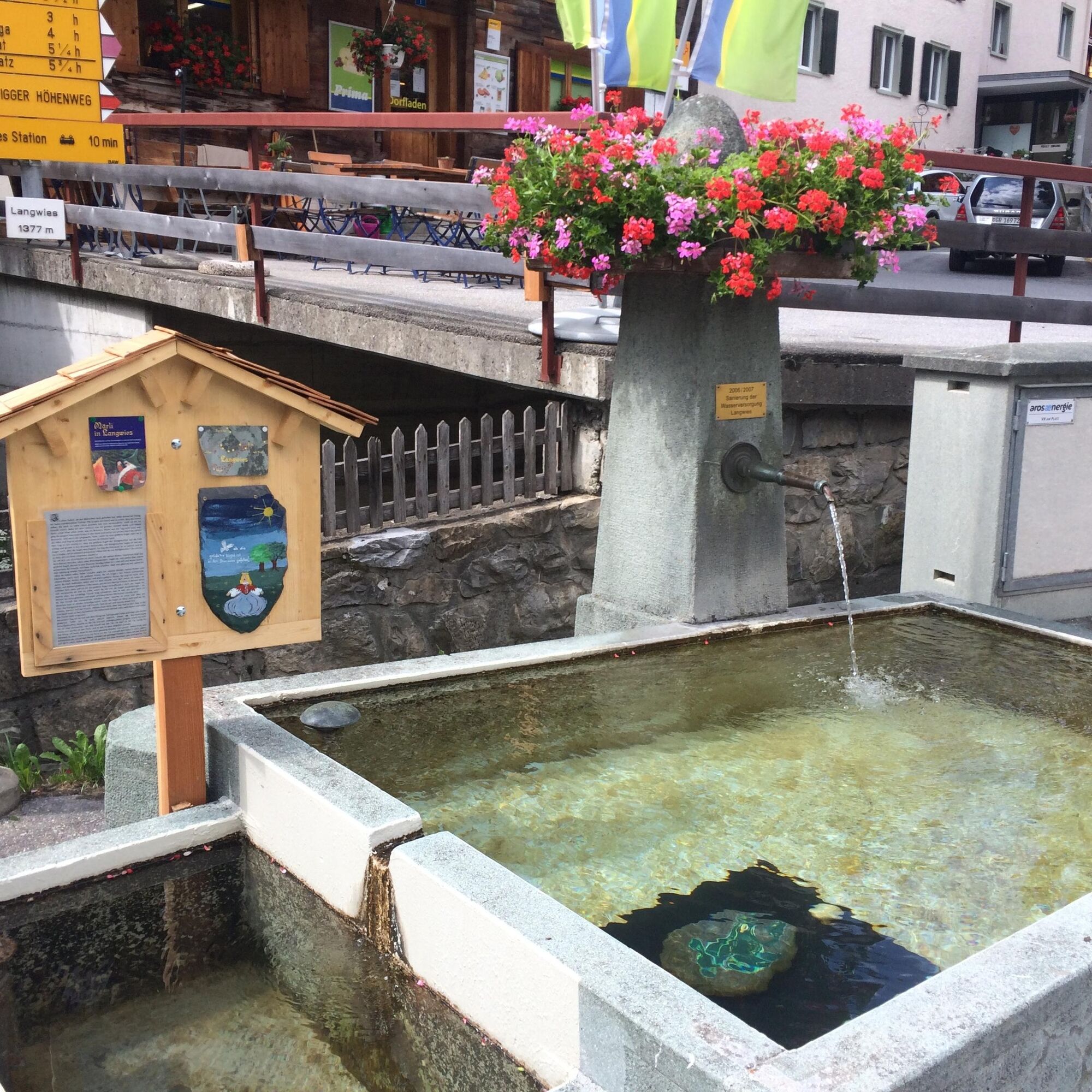
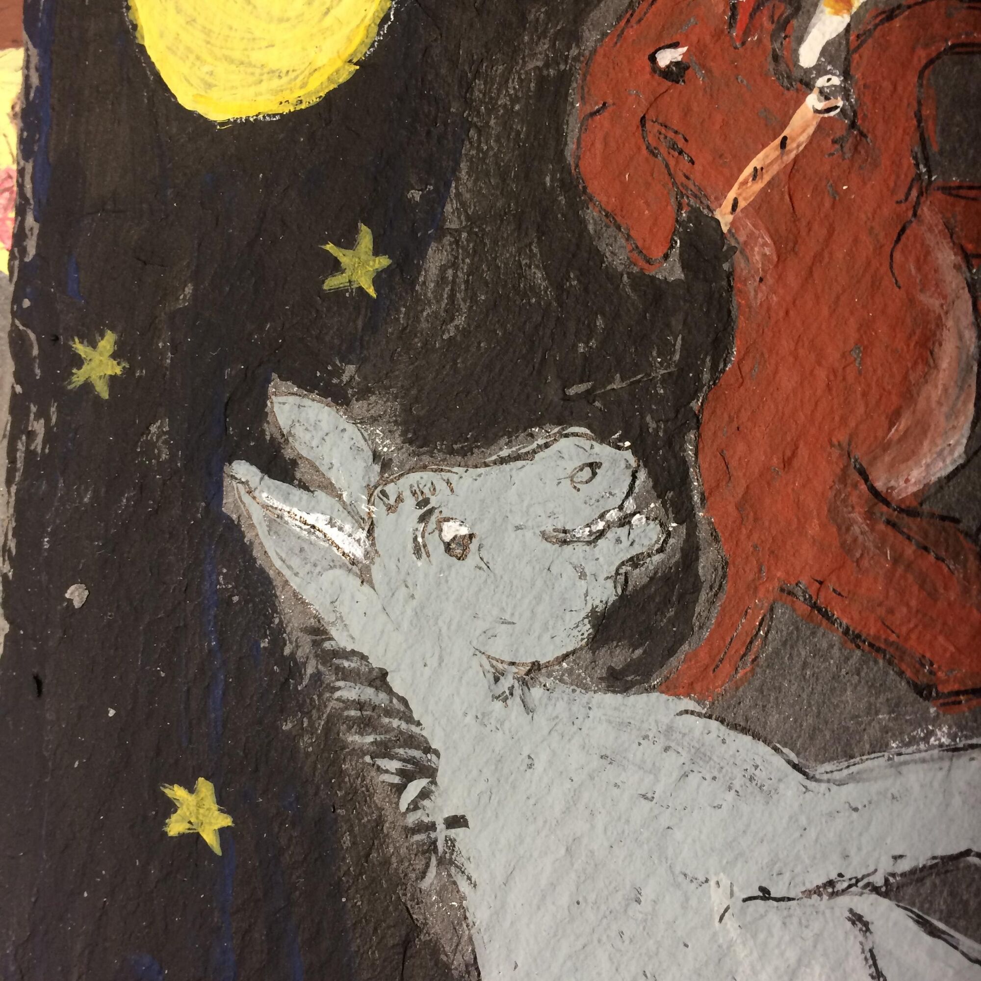
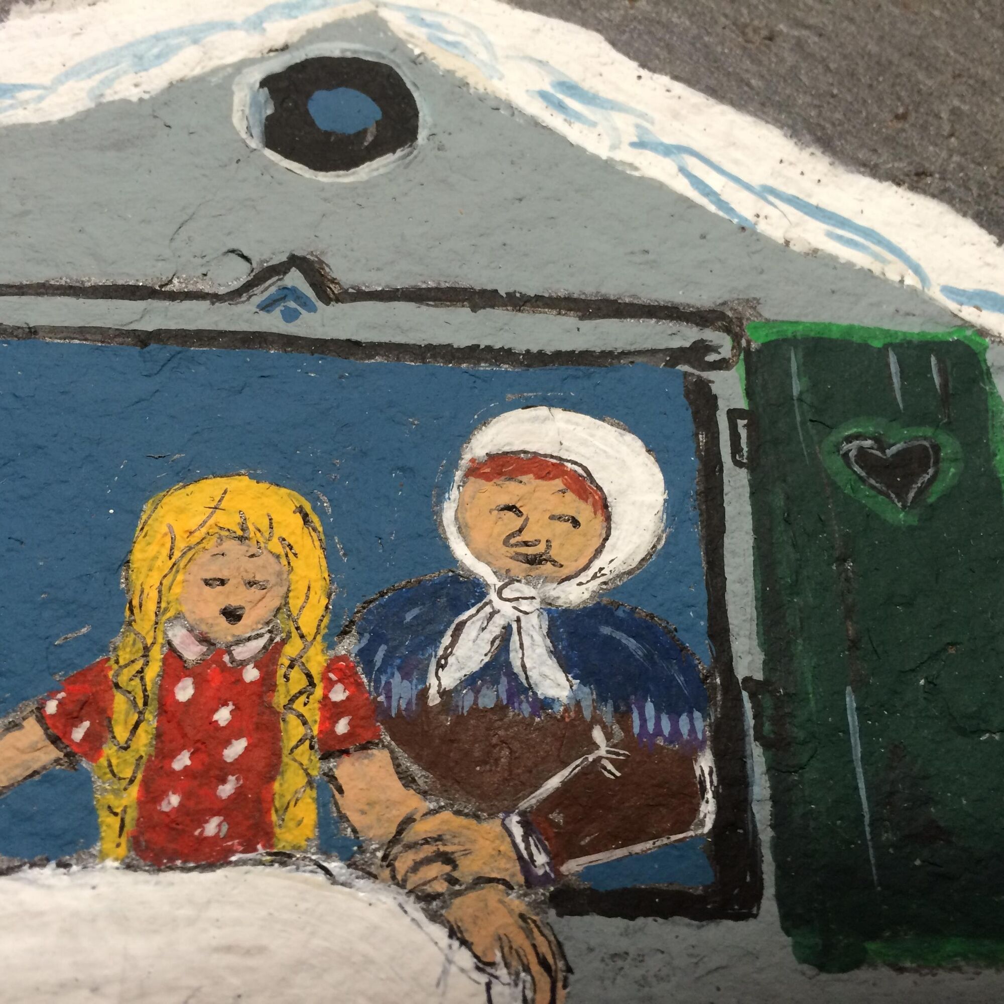
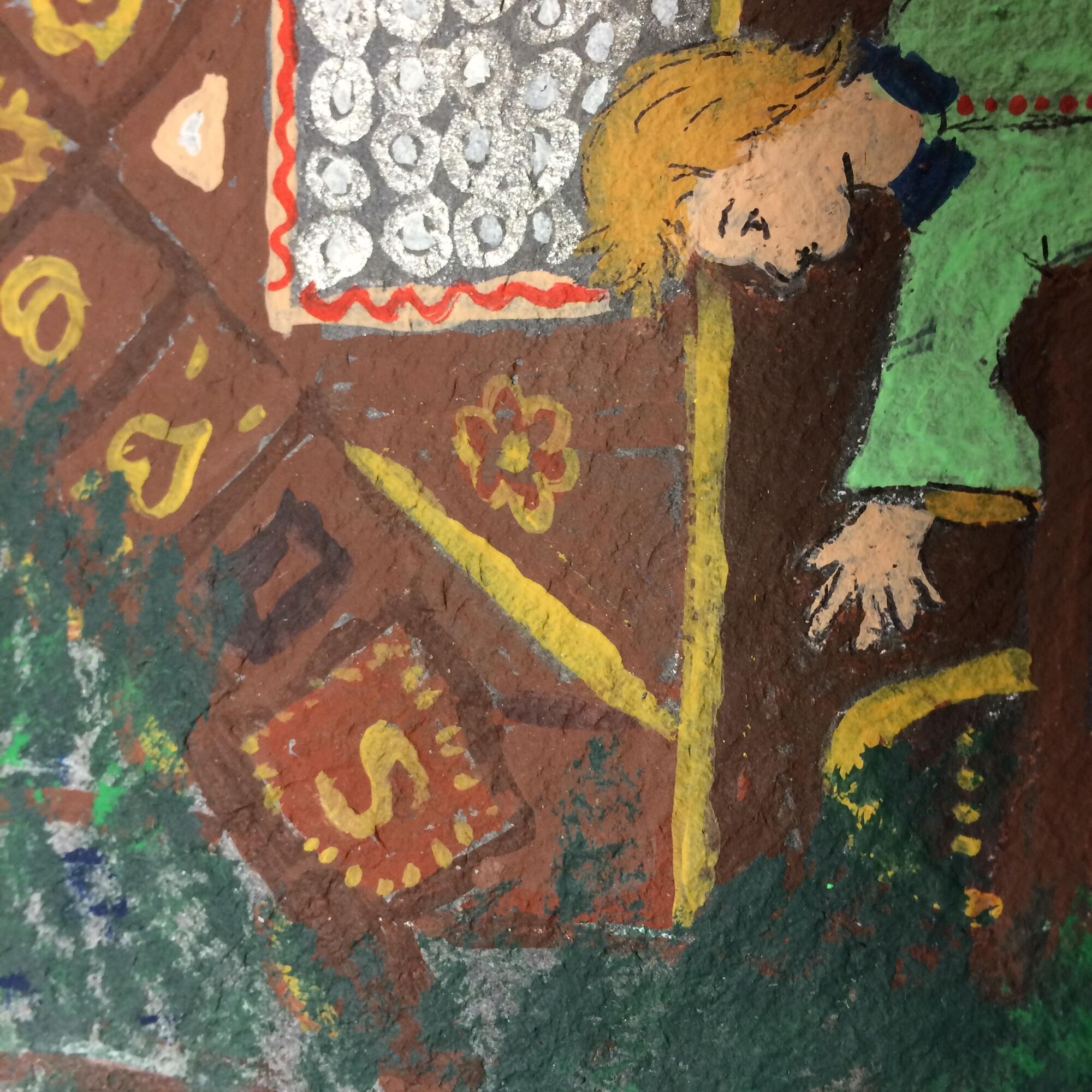
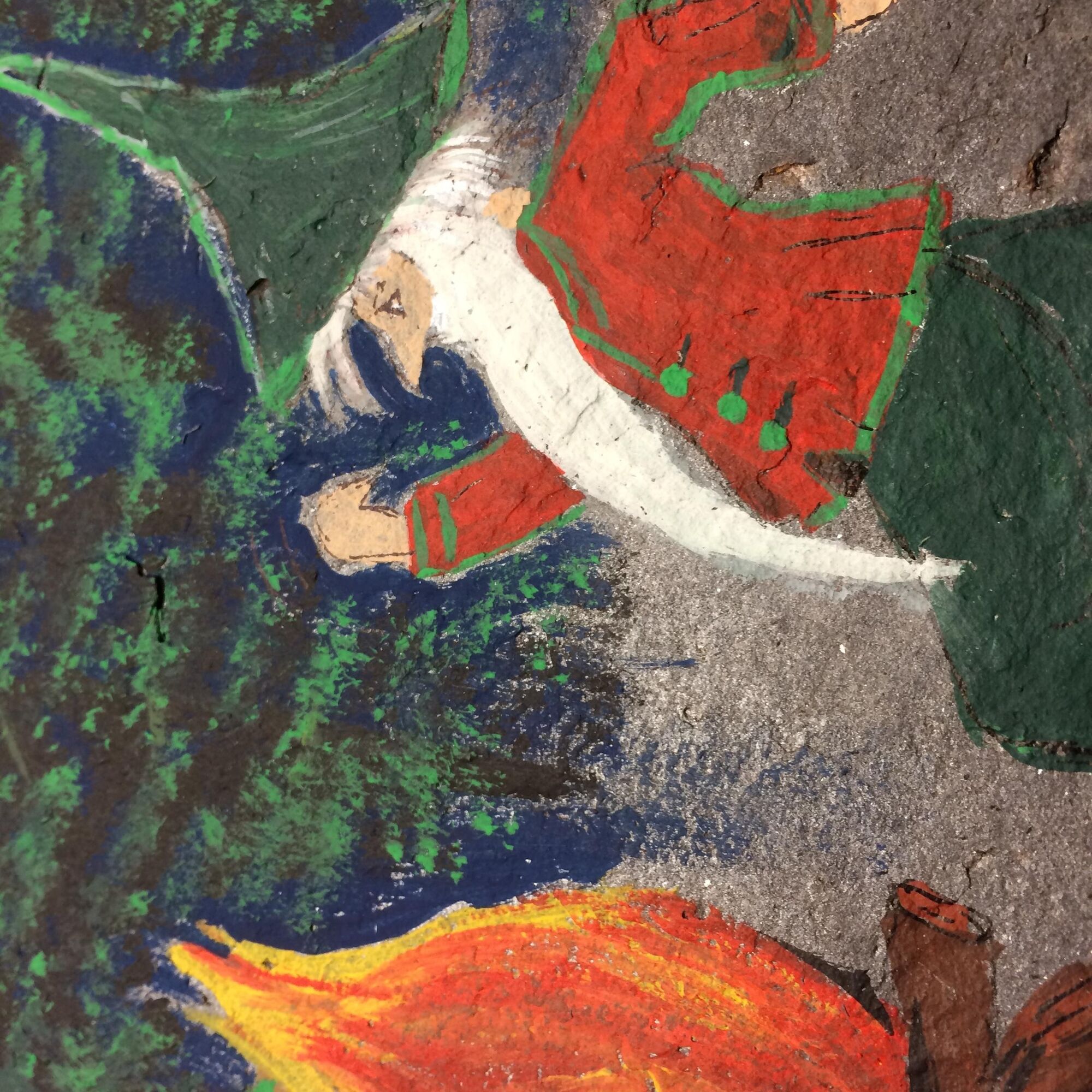
The local artist Sidonia Fankauser illustrated 10 Brothers Grimm fairy tales with a picture on slate boards. These stand along walking paths in and around the village of Langwies on pretty wooden boards....
The local artist Sidonia Fankauser illustrated 10 Brothers Grimm fairy tales with a picture on slate boards. These stand along walking paths in and around the village of Langwies on pretty wooden boards. For discovering, puzzling, and remembering! The locations can be found using a small map. Flyer "Märliweg Langwies"


Langwies - Langwies
Tak
Good footwear and weather-appropriate clothing.
Arosa strives to provide hikers with a well-developed and marked network of hiking trails. Please observe the rules and signs. You can find more helpful tips under hiking information.
From Chur on the Arosastrasse to Langwies.
By train (RhB) from Chur to Langwies.
Shortly after the village (before the bridge over the Sapünerbach) on the left, parking spaces are available. Further information about parking options in Arosa can be found here.
Our wishes to the hikers:
Arosa strives to provide hikers with a well-developed and marked network of hiking trails. Please observe the following wishes and suggestions:
Dogs must be kept on a leash Please take waste and picnic leftovers back home with you Leave hiking trail markings in place Do not use closed paths (Live report) Do not leave the officially marked winter hiking trailsMake a stop at the Langwies village shop and stock up on local products or visit the Edelweiss inn and refresh yourself with food and drink.
Uzyskaj wgląd
Zawsze na żywo z ponad 9 500 kamer internetowych. bergfex Jako użytkownik Pro, możesz teraz zobaczyć odpowiednie kamery internetowe dla wielu wycieczek w aplikacji wycieczki od. Pozwala to na bezpośredni podgląd aktualnych warunków.
Popularne wycieczki w okolicy
-
3,9
Arosa-Medergen-Tritt-Latschüelfurgga-Strelapass-Davos
średniWędrówka 22,5 km -
Arosa-Schwellisee-Älplisee-Parpaner Rothorn
Wędrówka 12,3 km -
3,5
Arosa-Maienfelder Furgga-Stafelalp-Davos
średniWędrówka 15,9 km -
4,7
Arosa-Hörnli-Parpaner Rothorn-Lenzerheide
Wędrówka 11,9 km -
5,0
Arosa-Hörnli-Urdenfürrgli-Alp Scharmoin-Lenzerheide
średniWędrówka 15,3 km -
5,0
Eichhörnliweg Arosa
światłoTrasa tematyczna 1,72 km -
3,3
Madrisa Rundtour (1-day Gargellen) - Mountains know no borders
ciężkiWędrówka 21,5 km -
Alp Sanaspans - Rothorn
ciężkiWędrówka 13,6 km -
5,0
4-Viaduct hike
średniWędrówka 13,6 km -
5,0
Arosa-Erzhornsattel-Arosa
Wędrówka 14,9 km

Wędrówki i tropienie


Nie przegap ofert i inspiracji na następne wakacje
Twój adres e-mail została dodana do listy mailingowej.





