







Tarasp-Crap Putér
Poziom trudności: F
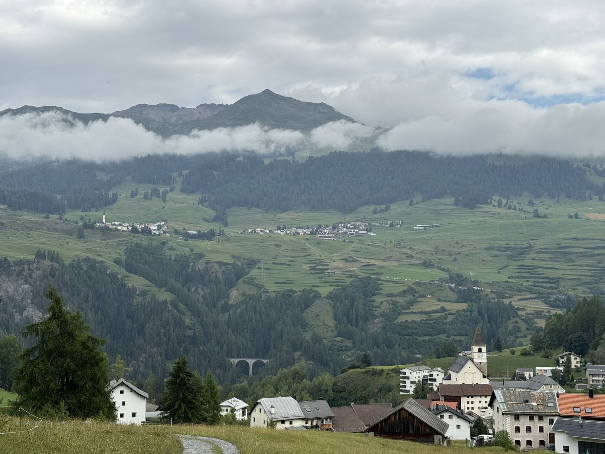
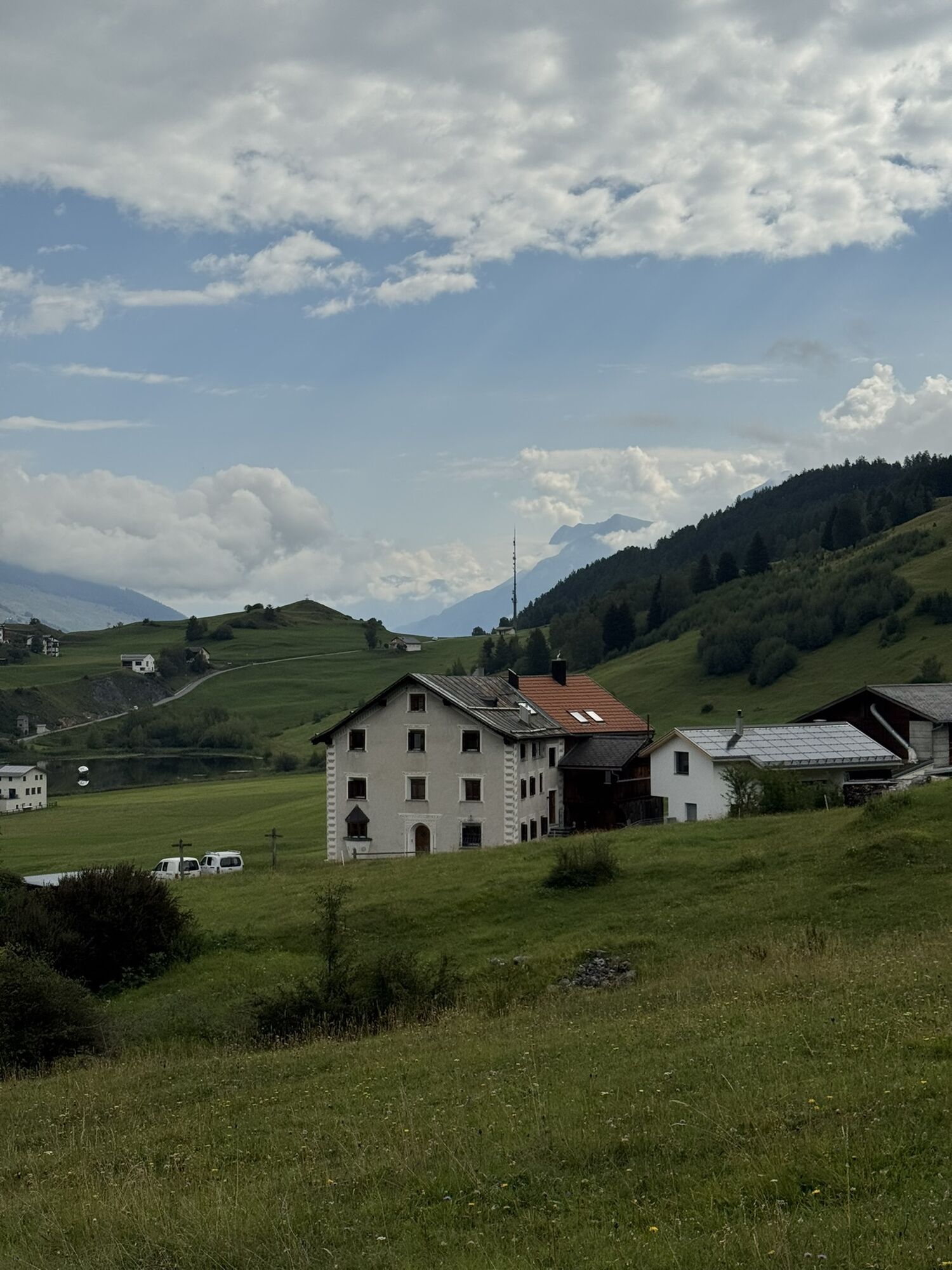
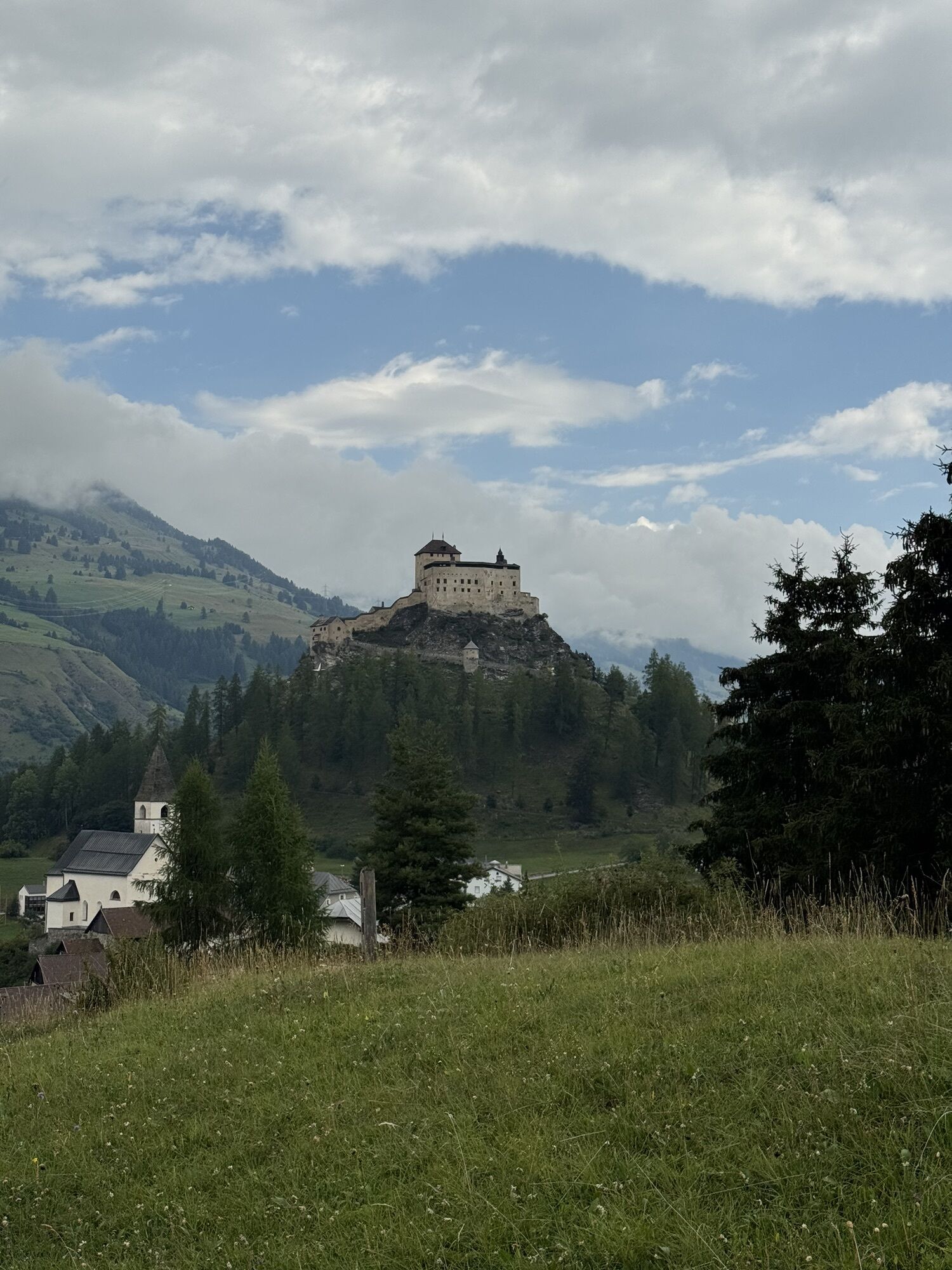
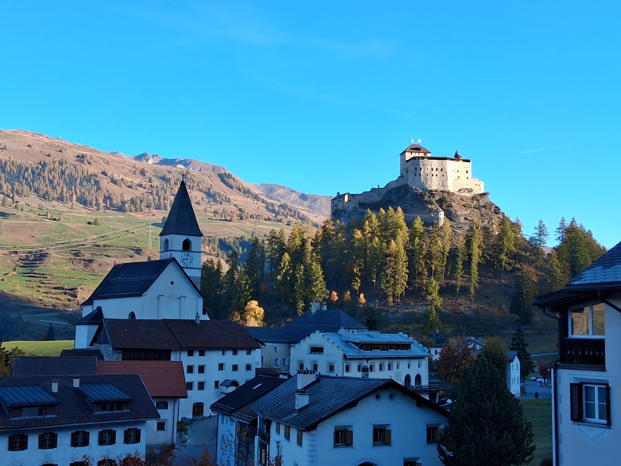
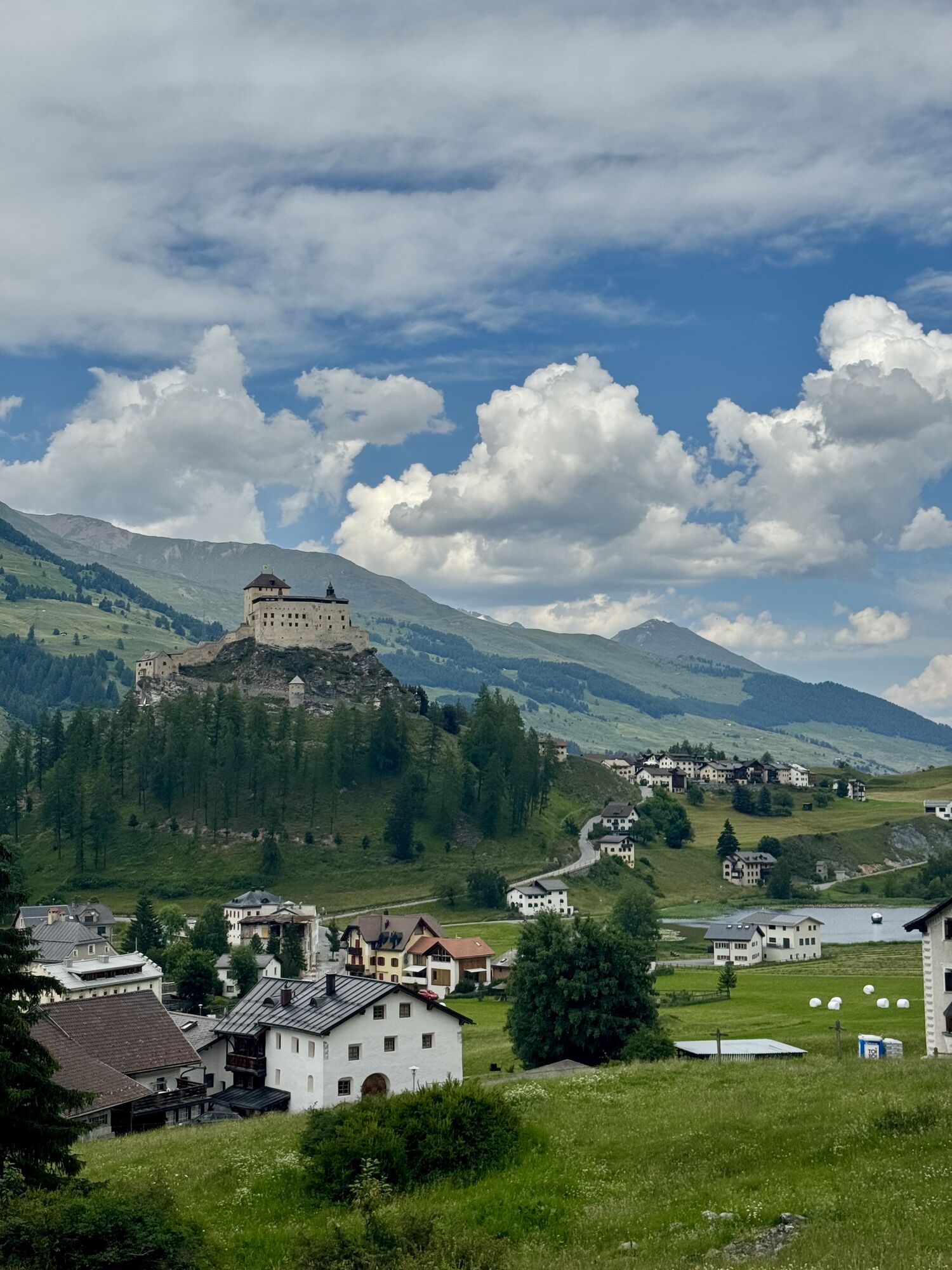
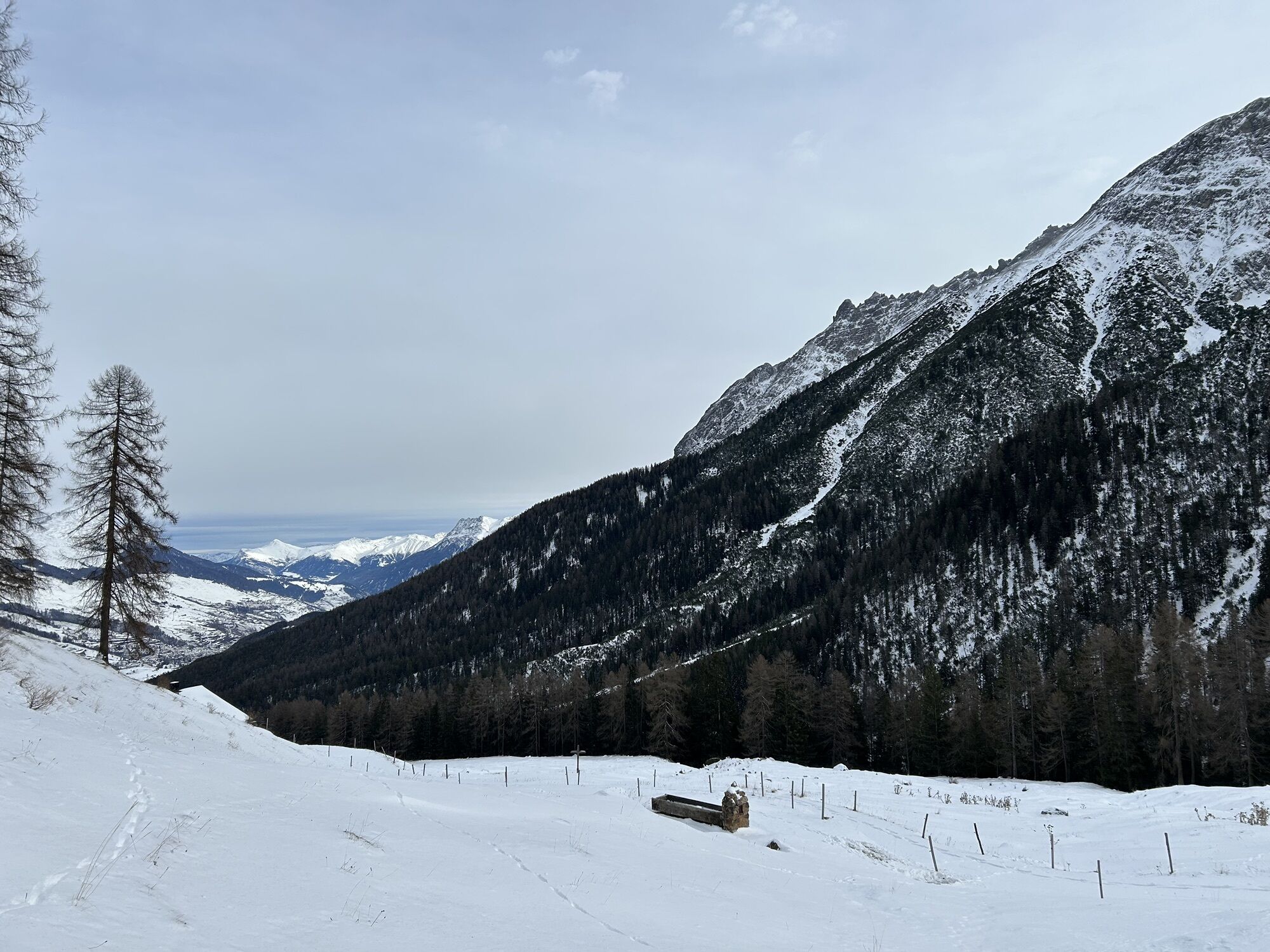
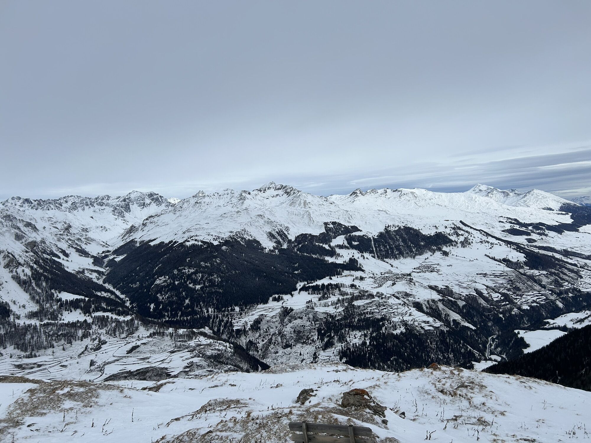
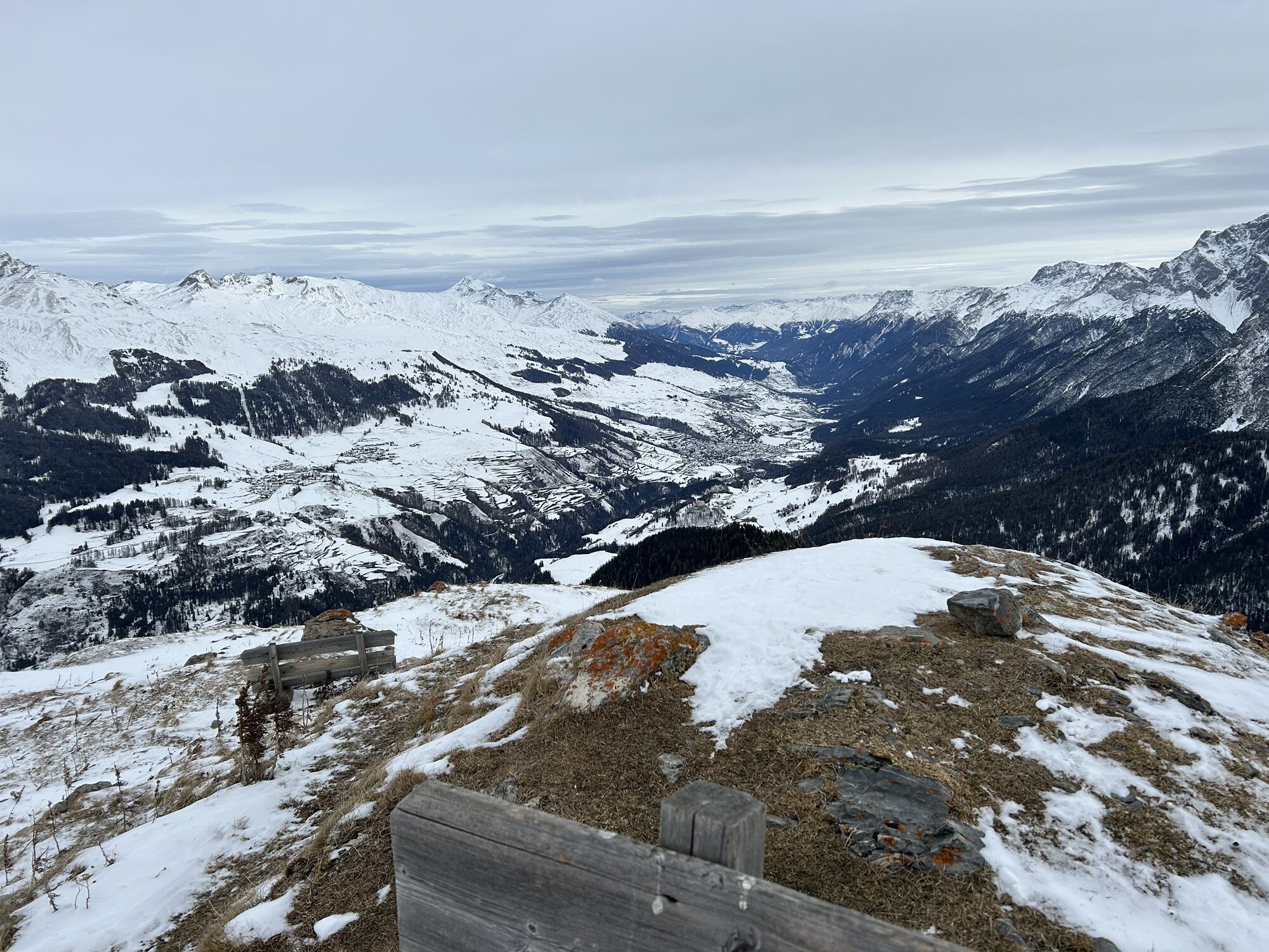
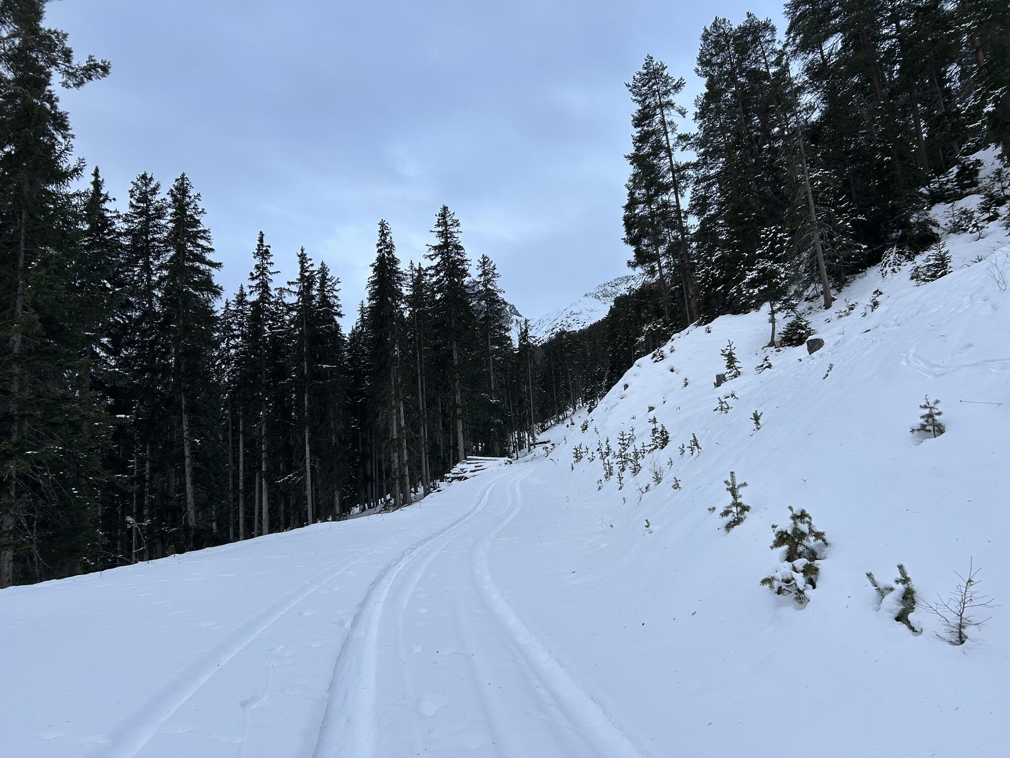
The starting point of the route is the village of Tarasp. (1402 m above sea level) Along the southwest leading alpine road, the route leads into Val Vallatscha up to Alp Laisch (1814 m above sea level)....
The starting point of the route is the village of Tarasp. (1402 m above sea level) Along the southwest leading alpine road, the route leads into Val Vallatscha up to Alp Laisch (1814 m above sea level). From Alp Laisch, the forest path leads along a summer path northwards into the forest clearing. In the forest clearing, the path leads again southwest to the fork below Crap Putér. (2215 m above sea level) The final ascent leads over a rock step above Mot Fuorcla to Crap Putèr. (2368 m above sea level) There are two descent options, one via the ascent path and the other via the forest clearing Laviner Gitmot.

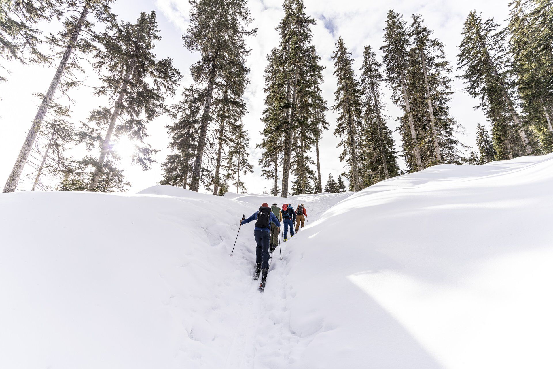
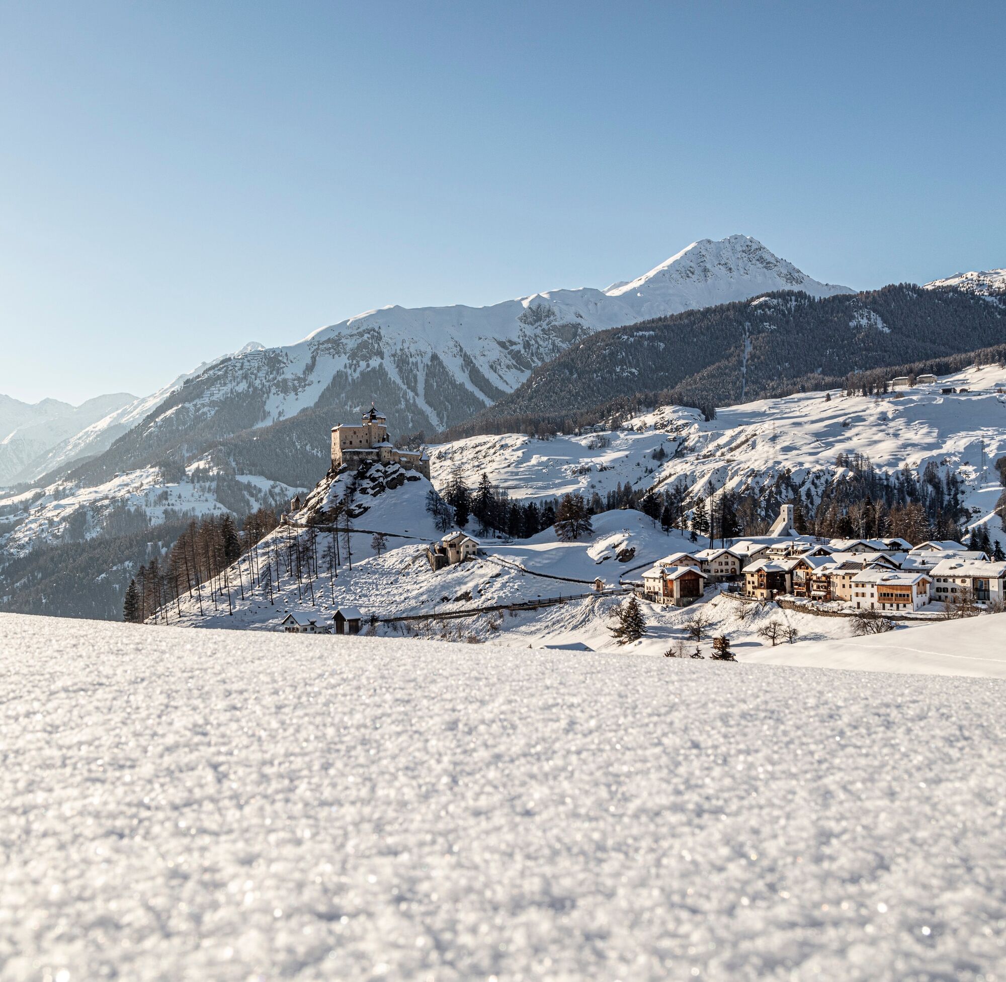

The starting point is in Tarasp, Fontana
Tak
Ski touring equipment, safety gear (AVS, probe, shovel), first aid kit, provisions
Safety comes first!
Routes in the winter mountains involve risks. Off secured slopes and paths, skiers are responsible for themselves. This requires solid training and appropriate equipment including avalanche emergency gear. The route was rated under favorable weather conditions; current weather conditions and forecasts must be strictly observed before starting the route.
Emergency call:
144 Emergency, First Aid I 1414 Mountain Rescue REGA I 112 International Emergency Call
Traversing routes in alpine terrain requires good physical condition, serious preparation, and technical mountain sport knowledge. The described routes are undertaken at your own risk. For safe mountaineering, training under expert guidance is recommended. All contents are compiled with the greatest care. Tourism Engadin Samnaun Val Müstair AG (TESSVM) and the authors accept no guarantee for the timeliness, correctness, and completeness of the provided information. Liability claims of any kind against TESSVM or the authors are excluded. It is also advised to always check the daily avalanche bulletin: slf.ch
From the north: via Landquart – Klosters by car shuttle through the Vereina Tunnel (Selfranga - Sagliains) or over the Flüela Pass into the Lower Engadine on H27
From the east: via Landeck / Austria towards St. Moritz on H27
From the south: via Reschen Pass (Nauders-Martina) or Ofen Pass (Val Müstair-Zernez) on H27
Tarasp lies directly on the Engadine road H27 between Susch and Giarsun/Guarda.
By the Rhaetian Railway (from Chur, Landquart/Prättigau or from the Upper Engadin) hourly to Scuol-Tarasp station
By PostBus (from Martina, Sent, Ftan or Tarasp) hourly to Scuol-Tarasp station
Further by PostBus to the PostBus stop Tarasp, Fontana
Free parking spaces available in Tarasp
F
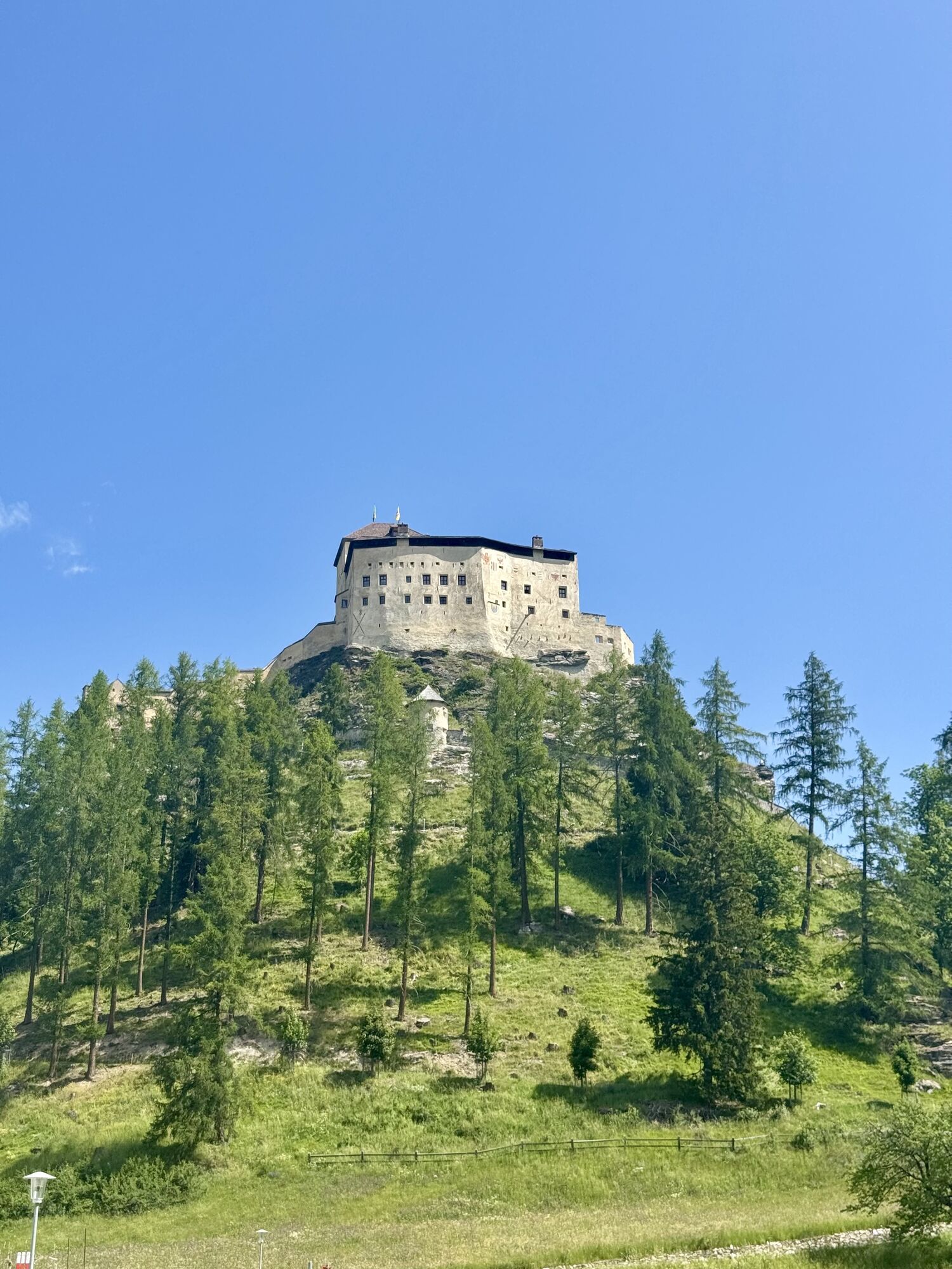
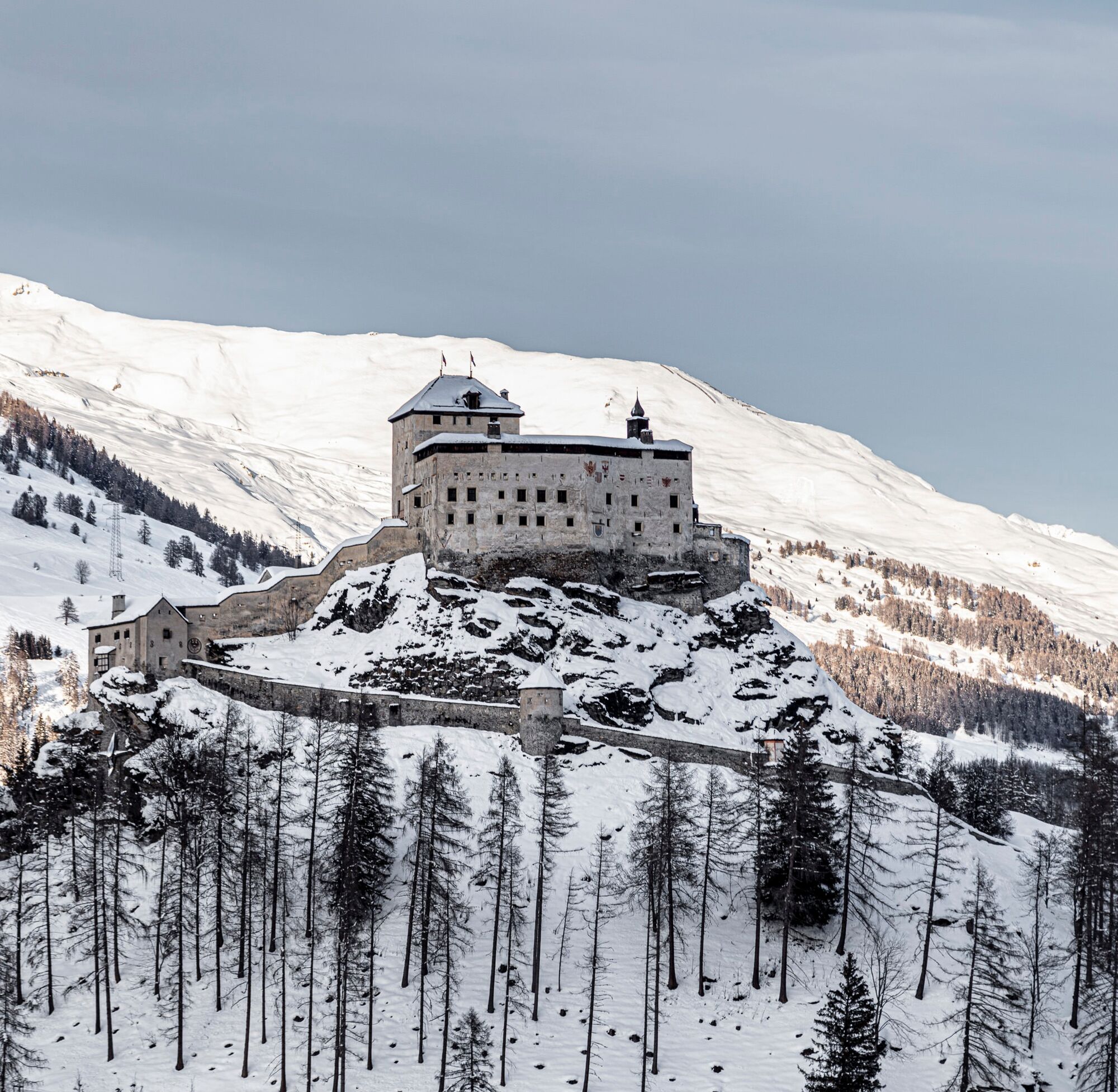
The Tarasp Castle is a worthwhile excursion destination.


Kamery internetowe z trasy
Uzyskaj wgląd
Zawsze na żywo z ponad 9 500 kamer internetowych. bergfex Jako użytkownik Pro, możesz teraz zobaczyć odpowiednie kamery internetowe dla wielu wycieczek w aplikacji wycieczki od. Pozwala to na bezpośredni podgląd aktualnych warunków.

Popularne wycieczki w okolicy
-
5,0
Großer Piz Buin (3.312m), Normalweg 2019 über Ochsentaler Gletscher
ciężkiWycieczka wysokogórska 24,1 km -
4,7
Jamtal lodge
średniWędrówka 19,6 km -
4,3
National Park: Margunet
światłoWędrówka 7,76 km -
4,8
National park: Zernez – Munt Baselgia – Macun lakes – Alp Zeznina – Lavin
ciężkiWędrówka 22,9 km -
3,7
Bielerhöhe - Vermuntkopf - Bielerhöhe
średniWędrówka 17 km -
4,8
National Park: Grimmels (circular hike)
światłoWędrówka 6 km -
5,0
National Park: Chamanna Cluozza
średniWędrówka 8,37 km -
4,5
Piz Buin Gipfel
średniWycieczka wysokogórska 10,4 km -
5,0
3 Länder Tour Uinaschlucht MTB
ciężkiMountainbike 74,6 km -
4,5
Tarasp Fontana – Sparsels – Lai Nair (circular route)
światłoWędrówka 7,67 km
Wędrówki i tropienie


Nie przegap ofert i inspiracji na następne wakacje
Twój adres e-mail została dodana do listy mailingowej.





