







Gadenstätter circular route (marked trail no. 13)
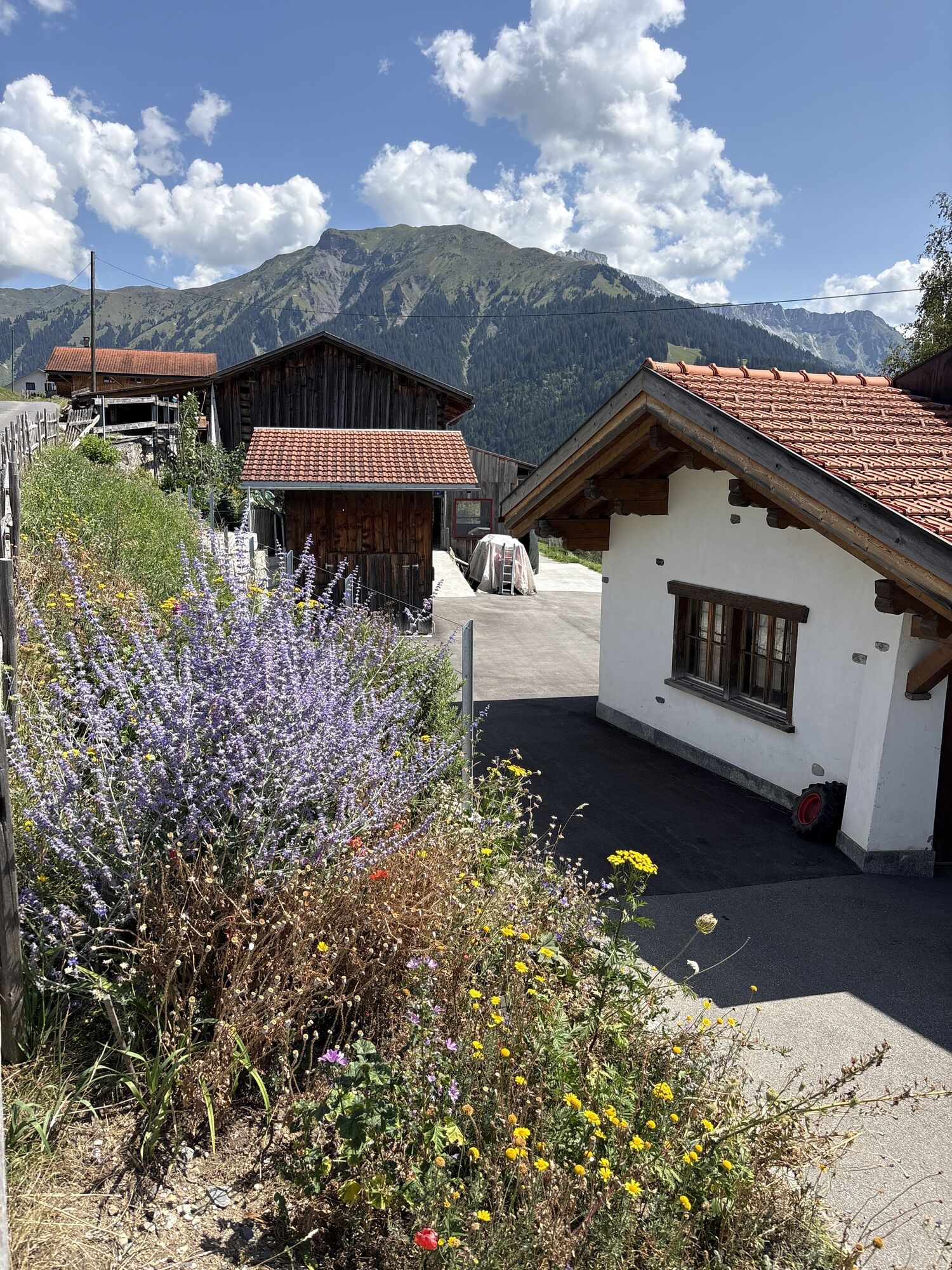
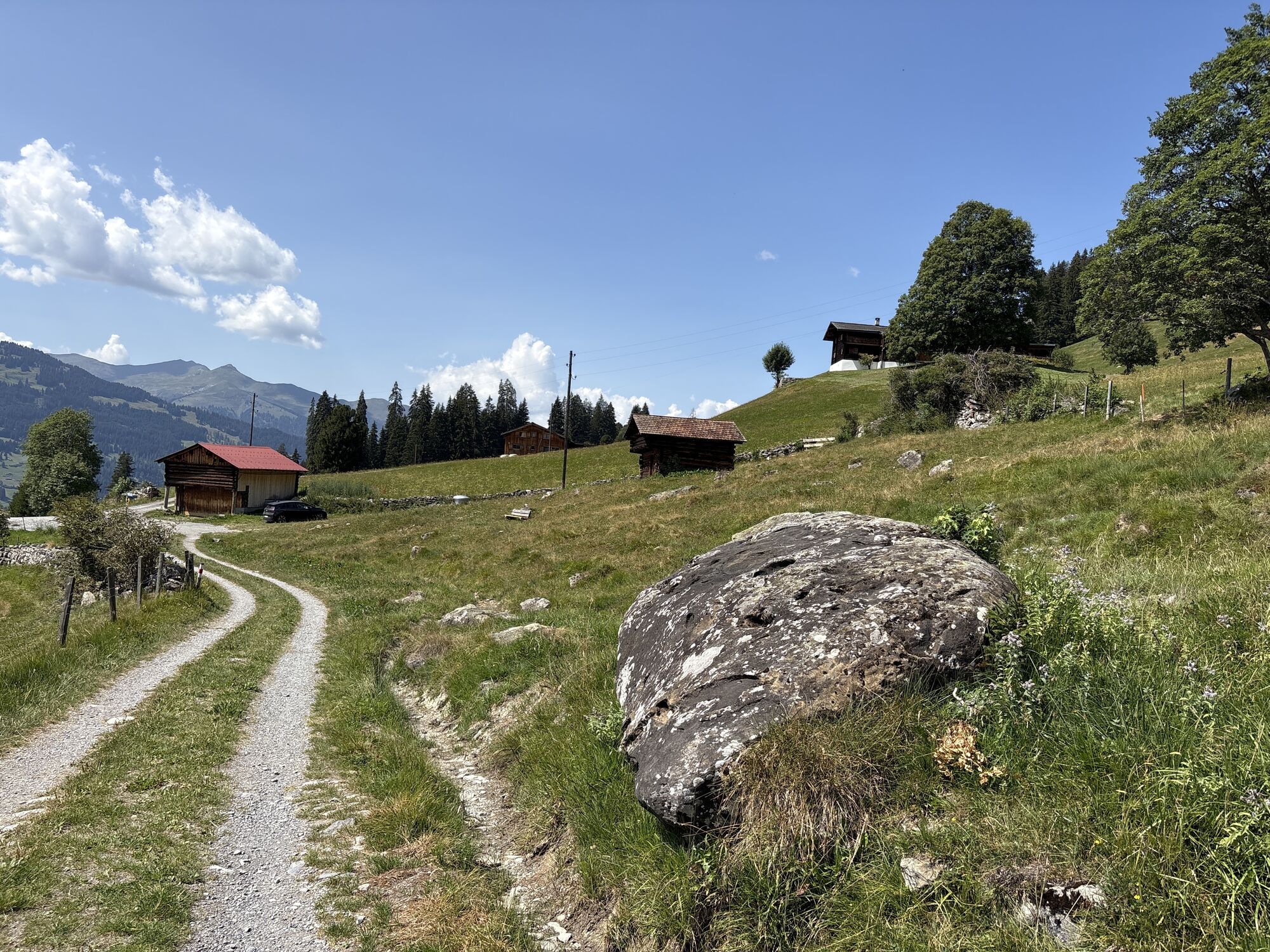
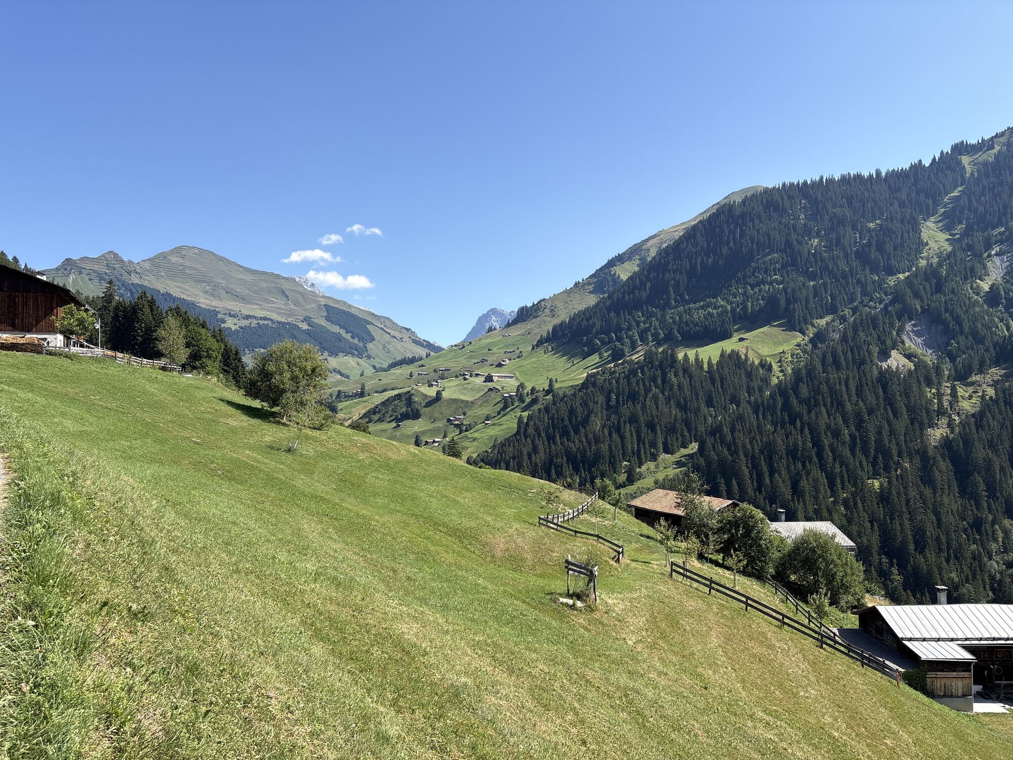
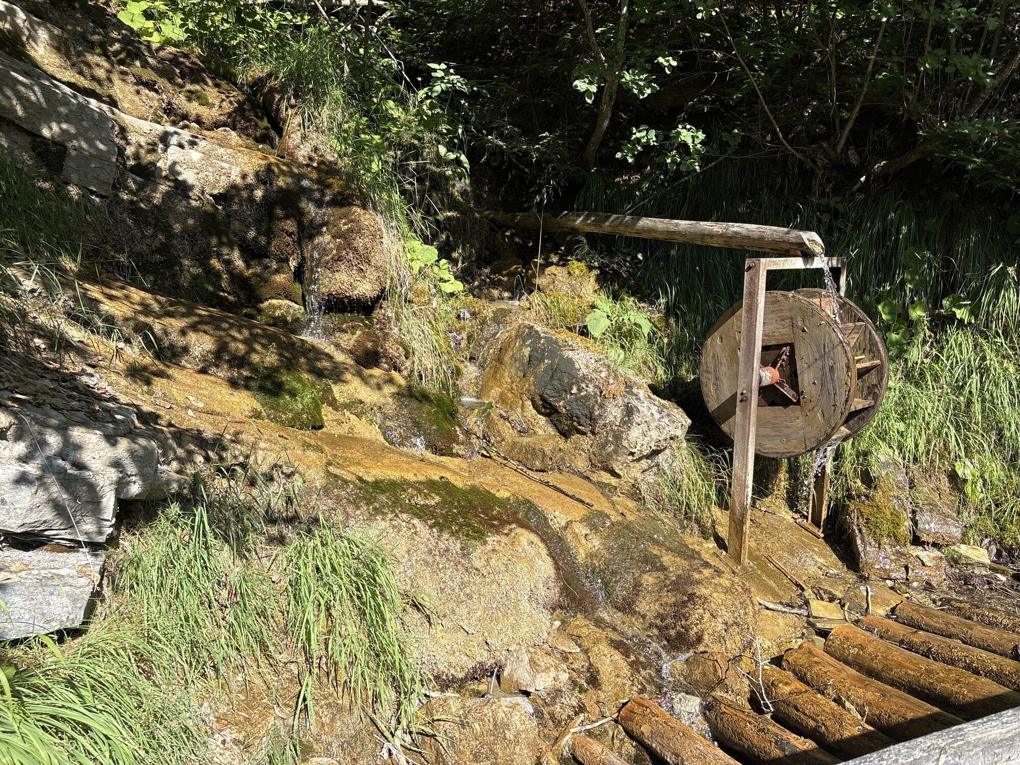
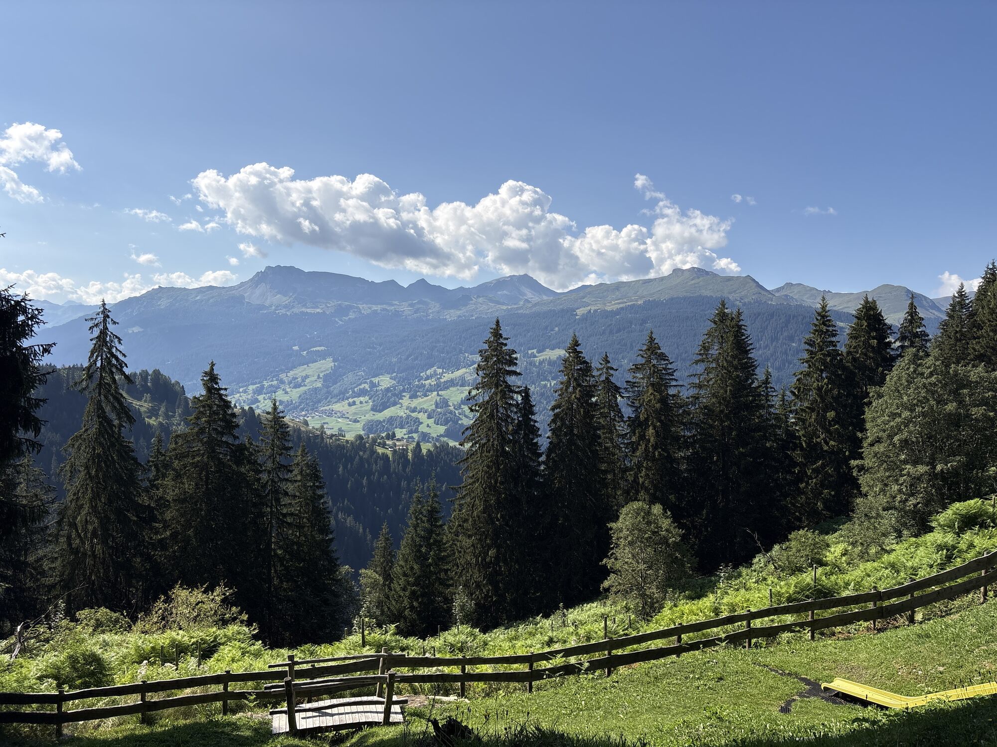
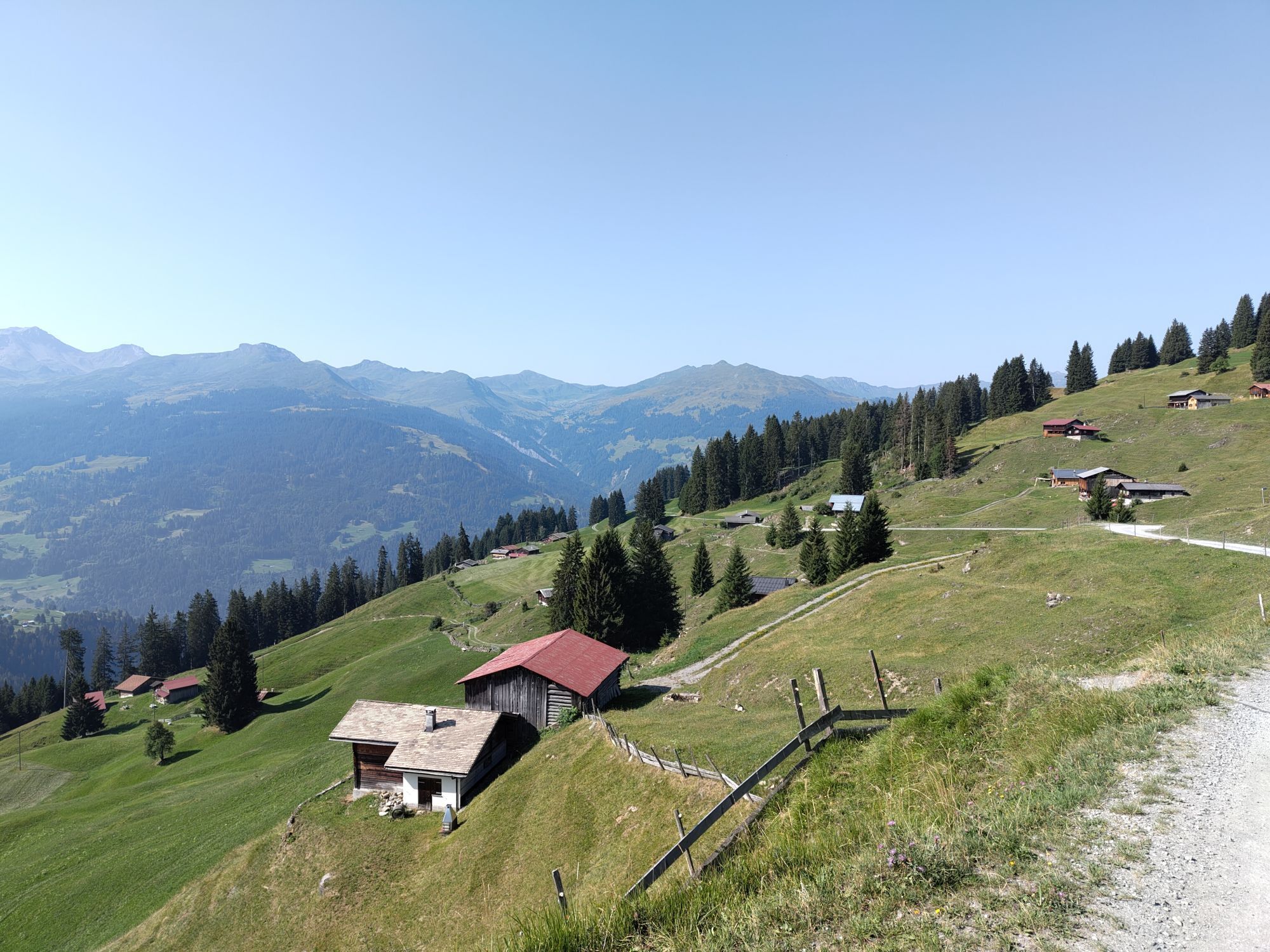
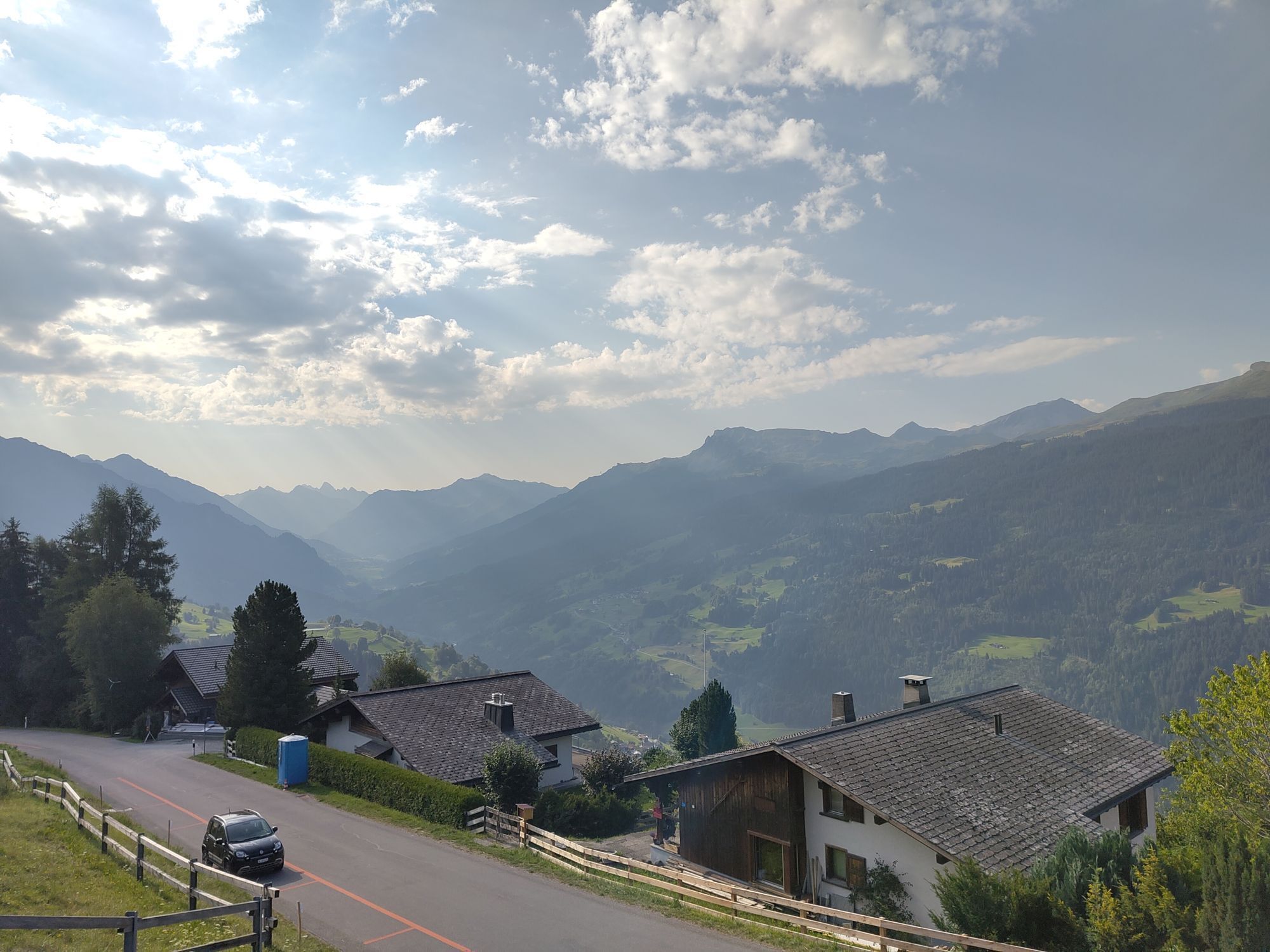
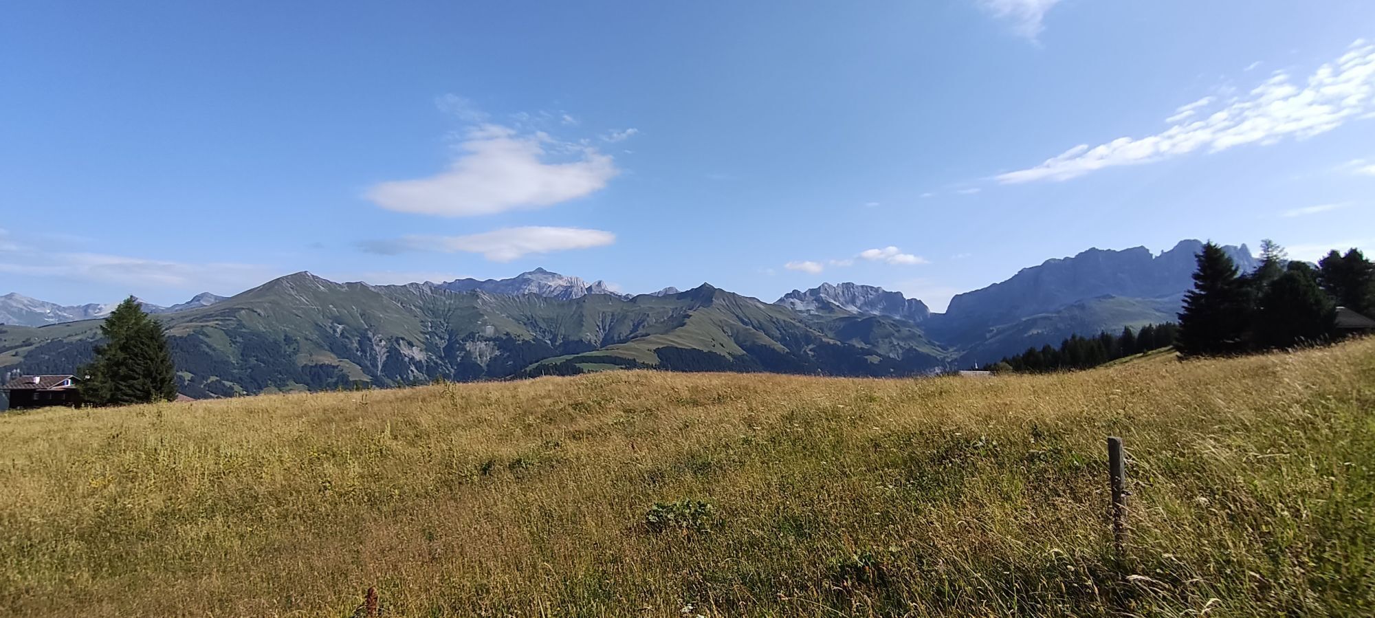
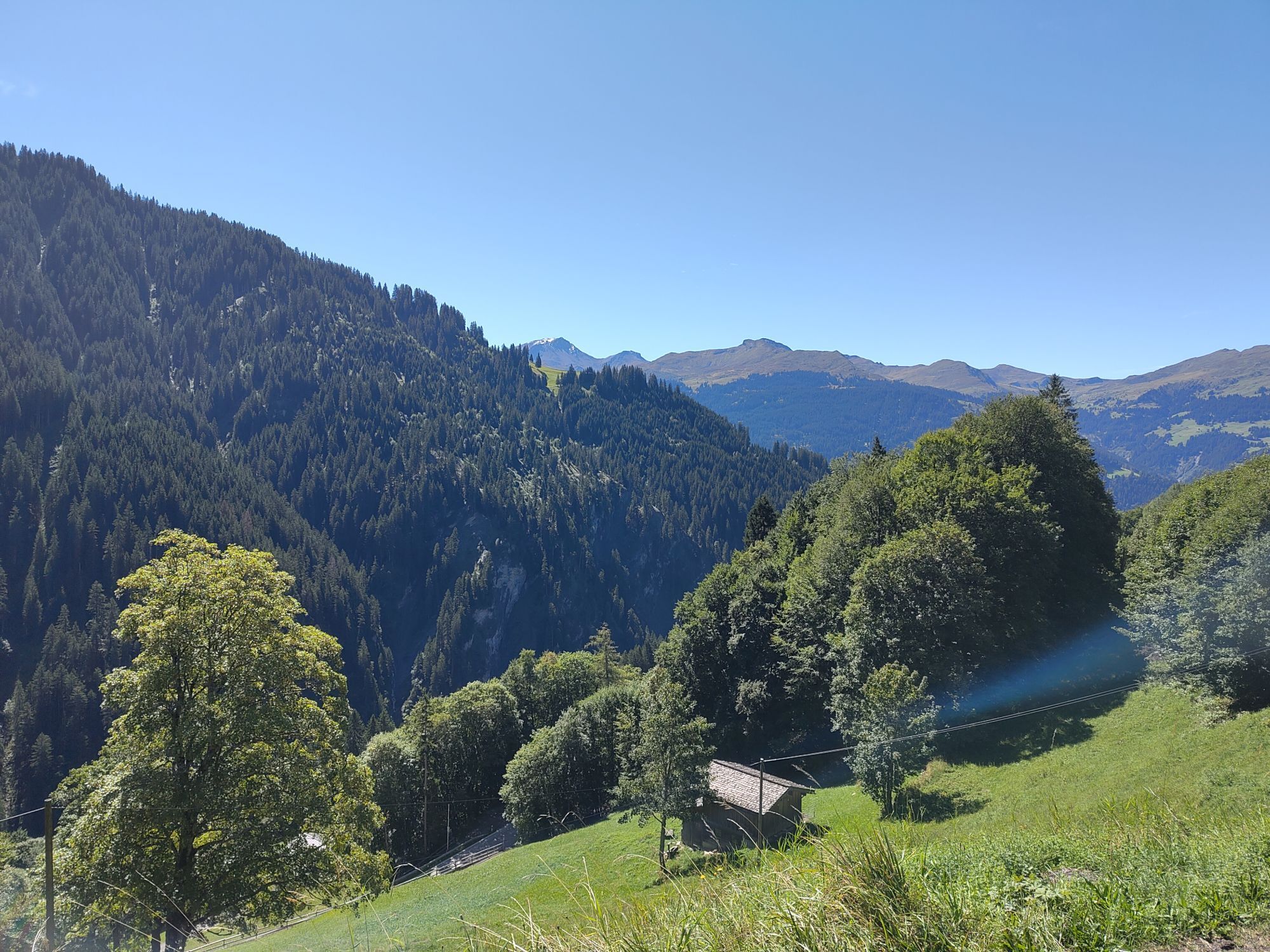
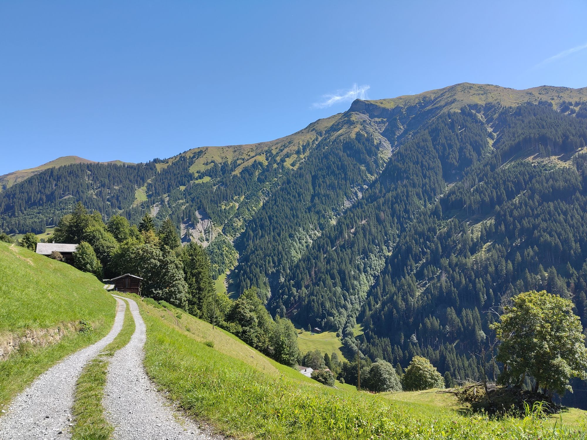
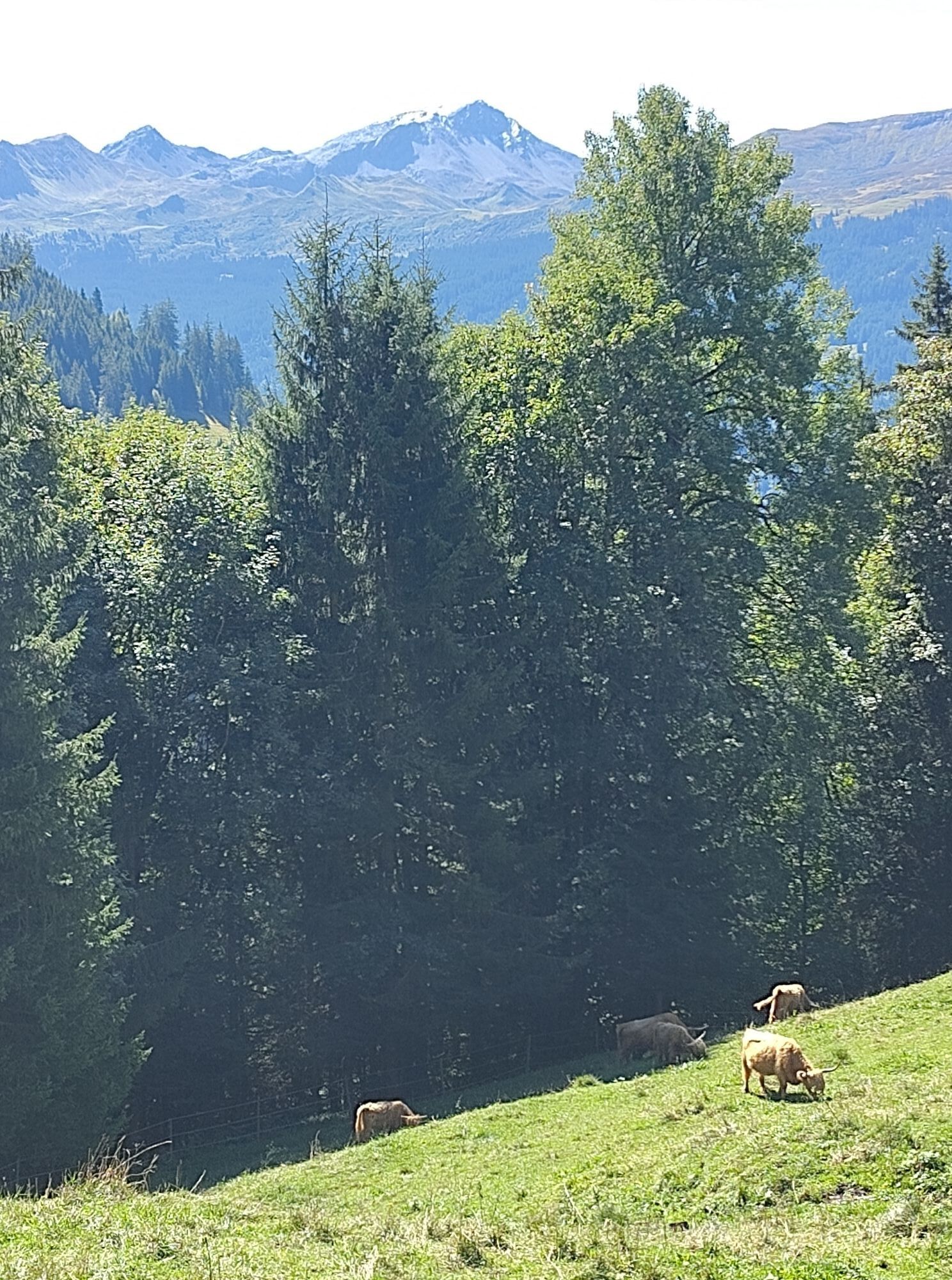
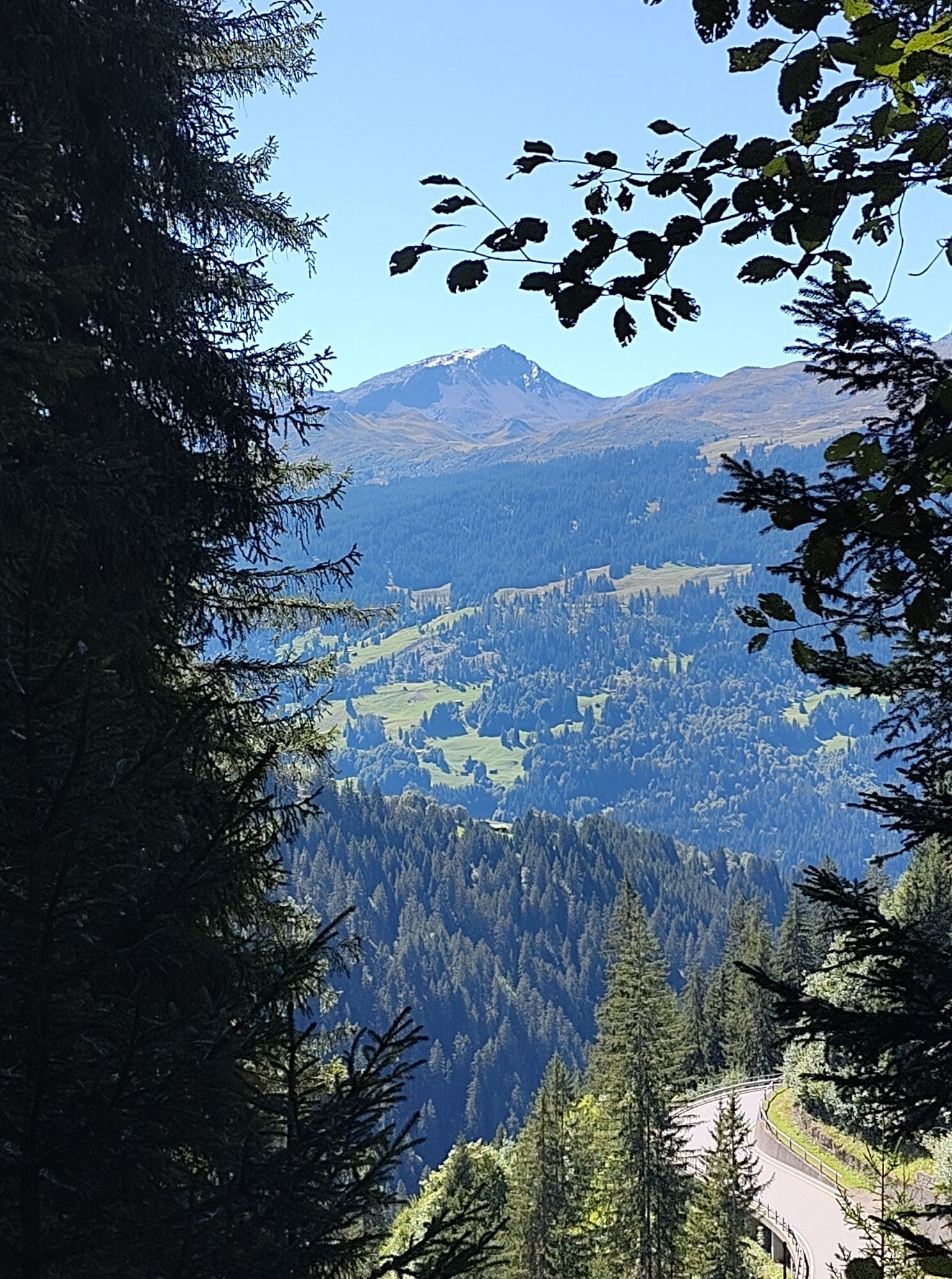
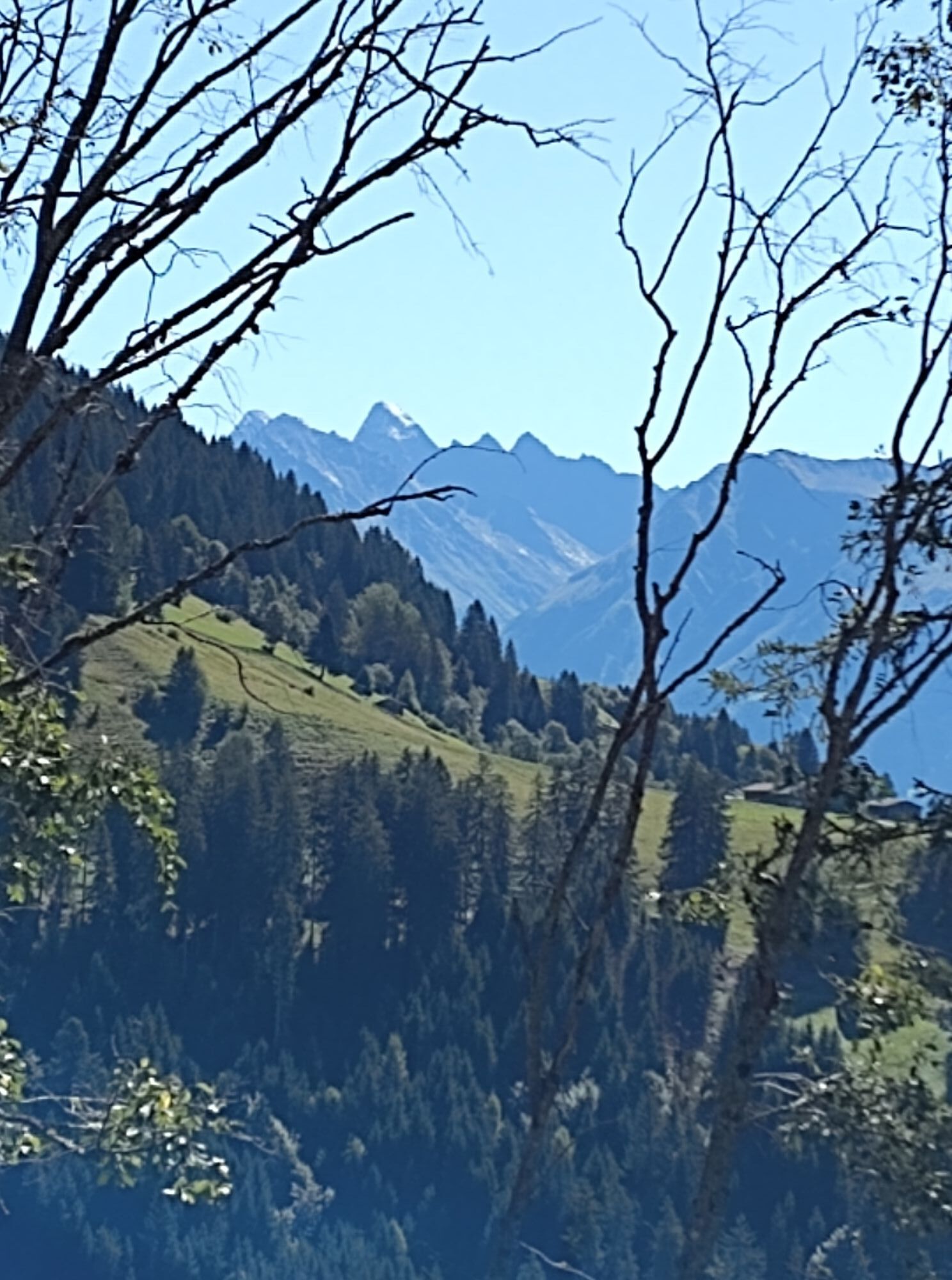
Start at the ski lift parking lot Pany across the Chlus plain, with a view towards Klosters. Continue over Garongs through the forest to Gadenstätt. After a visit to the self-service inn Bardill's Wanderwegbeizli,...
Start at the ski lift parking lot Pany across the Chlus plain, with a view towards Klosters. Continue over Garongs through the forest to Gadenstätt. After a visit to the self-service inn Bardill's Wanderwegbeizli, continue the ascent over Paschin, Lusi. Then descend via Loch to the Tüfelstein and back to the ski lift parking lot.

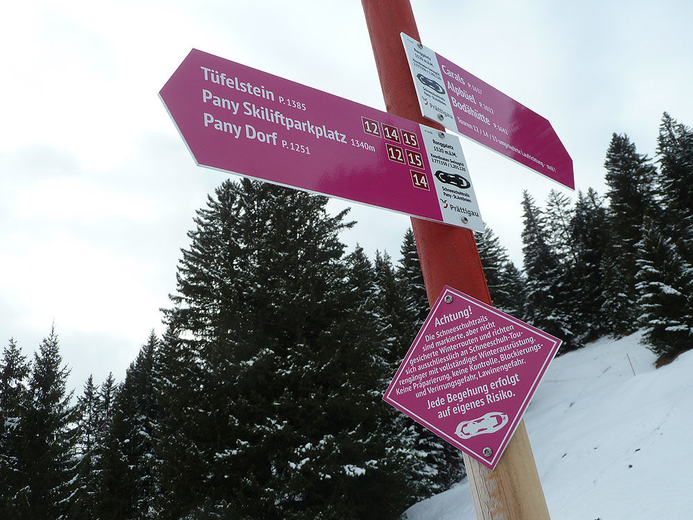
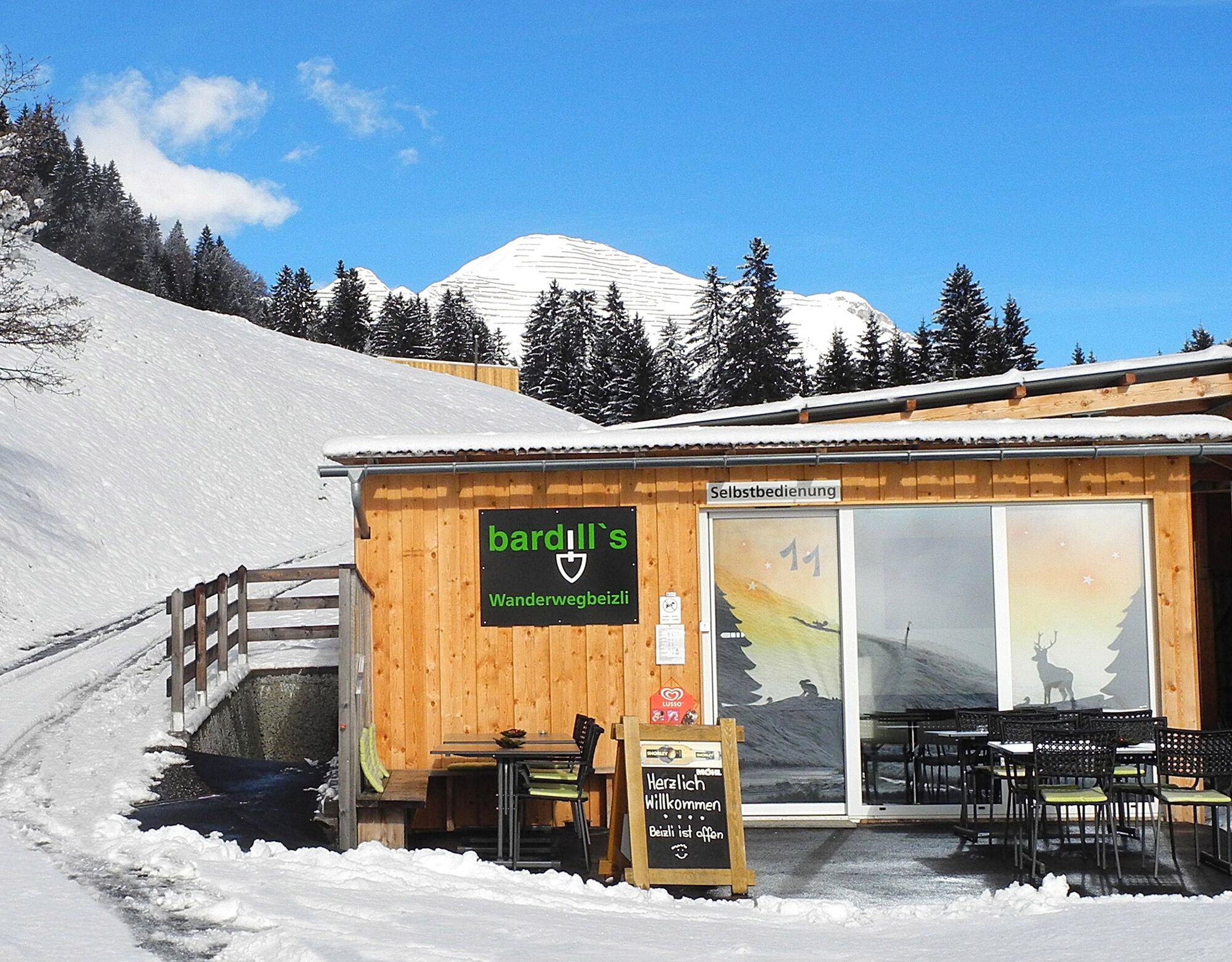

From the ski lift parking lot, the trail leads over the Chlus. Follow the flat trail through the forest to Gadenstätt. Here you can warm up at Bardill's Wanderwegbeizli before tackling the ascent over Paschin partly through the forest up to Lusi (Bova). Descent via Loch down to the Tüfelstein and then back to the ski lift parking lot.
Carrying a complete winter touring equipment including an avalanche transceiver is recommended on the marked snowshoe trails of Pany and St. Antönien as well as generally on all tours in open alpine terrain.
Rental equipment:
Rätikon Sport AG, Küblis, info@raetikonsport.ch , +41 81 332 36 36
Ski lift Pany at info board, self-service
Tour guides
Dominik Karrer, St. Antönien, info@2000plus.ch , +41 79 761 44 58
Chlasi Salzgeber, Pany, nicolaus.salzgeber@gmail.com , +41 79 518 71 04
Kurt Süess, Pany, kurtsuess@bluewin.ch , +41 76 434 04 73
The time indication is a guideline under good conditions for reasonably experienced tour participants. Time indications for snowshoe tours can vary greatly depending on conditions, equipment, and fitness. Plan enough time and start early for the planned tour!
This tour description and the marking on the terrain do not constitute a tour recommendation. Each decision to proceed lies solely with the individual tour participant. It is strongly advised against undertaking the route in poor visibility conditions (fog, snowfall, etc.) or in increased avalanche danger. Caution spring conditions: From around March and generally on warm and/or very sunny days, tours should definitely be ended early.
Via the A13 to Landquart, continue on B28 to Küblis. Shortly after entering the town, turn left and follow Luzeinerstrasse uphill to Luzein, Pany, St. Antönien.
By the Rhaetian Railway RhB from Landquart or Davos to Küblis and by post bus to St. Antönien (timetable 90.222).
In St. Antönien all parking lots are subject to charges. Payment can be made on the parking lots with cash, Parkingpay app, Easy-Park or Twint.
Summer and winter: P41 ski lift, P42 Güggelstein, P43 swimming pool, P45 Börtji
Parking lots are subject to charges. Payment is possible with cash, Parkingpay app, Easy-Park, or Twint.
Pany-St. Antönien Tourism
Panyerstrasse 39
CH-7243 Pany
Tel. +41 81 300 32 22
info@pany-stantoenien.ch
www.pany-stantoenien.ch
Halfway there is the opportunity to warm up at Bardill's Wanderwegbeizli (self-service) or at the start and finish at the Restaurant Güggelstein.
Kamery internetowe z trasy
Uzyskaj wgląd
Zawsze na żywo z ponad 9 500 kamer internetowych. bergfex Jako użytkownik Pro, możesz teraz zobaczyć odpowiednie kamery internetowe dla wielu wycieczek w aplikacji wycieczki od. Pozwala to na bezpośredni podgląd aktualnych warunków.
Popularne wycieczki w okolicy
-
4,8
Douglashütte - Schesaplana
średniWędrówka 7,31 km -
5,0
Ski tour to the Lindauer Hut (1,744 m)
światłoWycieczka narciarska 14,0 km -
4,7
Smuggler’s path
średniTrasa tematyczna 8,60 km -
4,4
Golmer Lakes Trail
średniTrasa tematyczna 7,28 km -
4,9
Douglasshütte, Lünersee, Gafalljoch Brand bei Bludenz, Vorarlberg
światłoWędrówka 9,16 km -
4,6
Madrisella summit path
średniTrasa tematyczna 10,8 km -
4,3
Golmerbahn Bergstaion Grüneck - Golmer Höhenweg - Geißspitze - Lindauer Hütte - Latschau
średniWędrówka 11,5 km -
4,8
Madrisella via ferrata
ciężkiVia ferrata 8,52 km -
4,8
Schesaplana
średniWycieczka wysokogórska 5,26 km -
3,0
Bergstation Grüneck Golmerbahn - Alpe Latschätz - Lindauer Hütte - Latschau
światłoWędrówka 11,1 km

Wędrówki i tropienie


Nie przegap ofert i inspiracji na następne wakacje
Twój adres e-mail została dodana do listy mailingowej.





