






Vastur – Sent

Poziom trudności: 2
From the PostAuto stop Sent, Sala, the path leads about 100m west and turns at the fork onto the path "Stron". Past the fountain, the path follows the "Via Veglia Vers Scuol" signposted towards restaurant...
From the PostAuto stop Sent, Sala, the path leads about 100m west and turns at the fork onto the path "Stron". Past the fountain, the path follows the "Via Veglia Vers Scuol" signposted towards restaurant Vastur. The ascent to restaurant Vastur takes place on the actual toboggan piste and takes about 60 minutes. Caution is advised for sledders on the hiking path. Upon arrival at restaurant Vastur, a hot drink, a Grisons snack, or fondue is offered for refreshment.
You can either bring your own sled or rent one at restaurant Vastur (the host organizes the return transport to the restaurant).
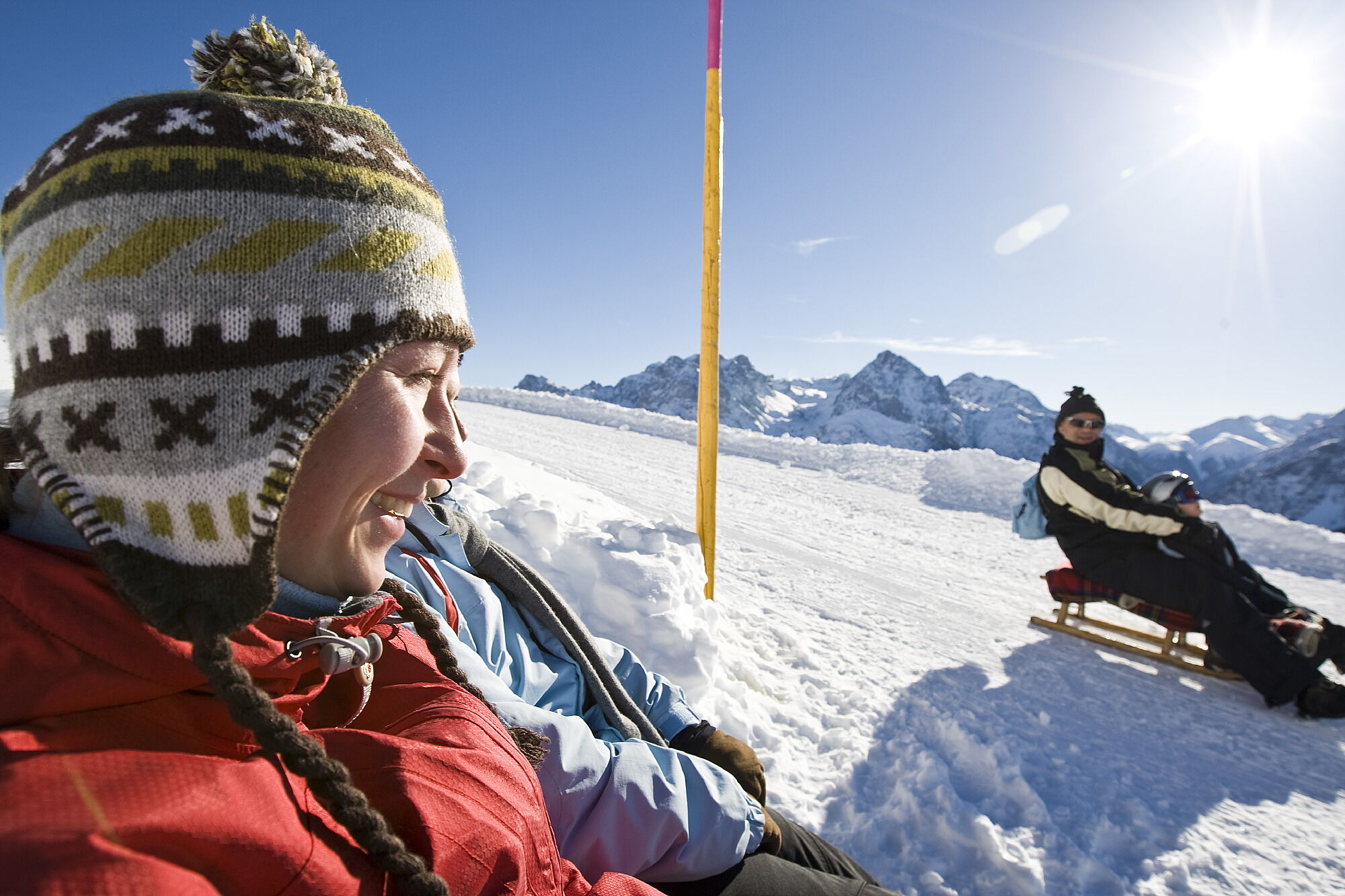
The toboggan piste, about 3 km long, offers a wonderful panoramic view over the Lower Engadin and the opposite side of the valley around Val d’Uina and the Lower Engadin Dolomites. It runs across open fields.
In the two steep bottleneck turns, despite the liberating feeling and high speed, caution is advised for possible pedestrians. With a bit of luck and the perfect combination of a fast piste and little wind, you glide back to the fork Stron or Scuol, for Sent crossing the gorge "Val da Muglins".


From the PostAuto stop about 100m to the west
At the fork, take the direction towards Stron
Pass the construction company
Follow the path Via Veglia Vers Scuol (signpost Vastur)
Ascent to the restaurant Vastur
Descent same as ascent
Tak
Sled (sleds can also be rented at restaurant Vastur), high and sturdy hiking boots or winter boots, warm clothing, sun protection, gloves, and helmet recommended.
The path is prepared after every snowfall. Please observe the condition reports in the winter sports report. The route was rated under favorable weather conditions, current snow and weather conditions must be considered before starting.
Caution: The path is used equally by winter hikers and sledders.
Emergency numbers:
144 Emergency, first aid
1414 Mountain rescue REGA
112 International emergency
Sent is reachable from the Engadin road H27 at Scuol as well as Sur En in 5 minutes by car (25 minutes drive from Vereina south portal)
By Rhätische Bahn (from Chur, Landquart/Prättigau or Upper Engadin) hourly to Scuol-Tarasp station
By PostAuto (from Martina, Ftan, or Tarasp) hourly to Scuol-Tarasp station
Direct half-hourly PostAuto connection from Scuol to PostAuto stop Sent, Sala
Paid parking spaces at the western (parking garage) and eastern village entrance (below the cemetery)
2
Information Restaurant Vastur: http://www.vastur.ch/

Popularne wycieczki w okolicy
-
4,3
Panoramaweg Schöneben Haider Alm
światłoWędrówka 5,78 km -
4,7
Jamtal lodge
średniWędrówka 19,6 km -
4,5
Rundwanderweg Wattles und Sesvenna
światłoWędrówka 16,4 km -
5,0
Sesvennahütte
średniWędrówka 5,01 km -
4,7
Bergwanderung Schlinig -Seswenahütte
średniWędrówka 13,6 km -
5,0
3 Länder Tour Uinaschlucht MTB
ciężkiMountainbike 74,6 km -
4,5
Tarasp Fontana – Sparsels – Lai Nair (circular route)
światłoWędrówka 7,67 km -
4,5
Von Galtür zur Jamtalhütte mit Trail
średniE-MTB 21 km -
4,7
Schwarzer See
światłoWędrówka 9,83 km -
5,0
San Jon – Chamonna Lischana (return)
średniWędrówka 12,0 km
Wędrówki i tropienie


Nie przegap ofert i inspiracji na następne wakacje
Twój adres e-mail została dodana do listy mailingowej.





