







Rhine Route no. 2: Stage 3 Chur - Buchs (SG)
Poziom trudności: 2

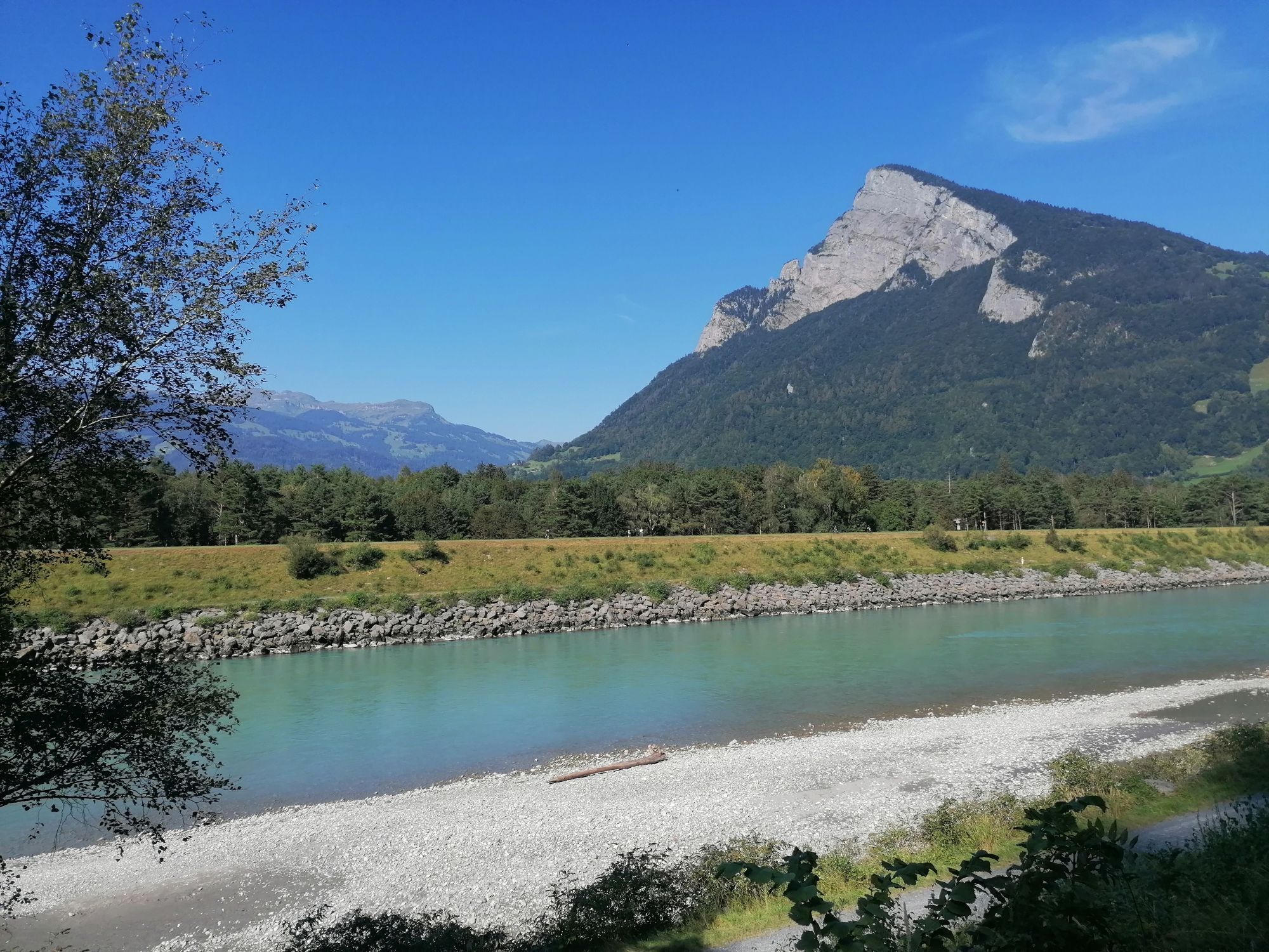
The Rhine route spans the east of Switzerland in a large arc. It begins with a solid mountain pass crossing over the Oberalp, the source area of the Rhine, runs through the Romansh-speaking Surselva, offers...
The Rhine route spans the east of Switzerland in a large arc. It begins with a solid mountain pass crossing over the Oberalp, the source area of the Rhine, runs through the Romansh-speaking Surselva, offers impressive views into the wild Ruinaulta gorge, and visits the Rhaetian capital Chur. With the Traubenkocher wind through the Bündner Herrschaft and quickly along the Rhine dam to the wide Lake Constance, where orchards, castles, and cheerful tourist chatter adorn the shores of the green and silver-shimmering "Swabian Sea." A quiet wooded section follows, then a populated old town of Schaffhausen, before the waters of the Rhine Falls roar down with a crash.
The powerful river—called the High Rhine between Schaffhausen and Basel—is tamed by eleven power plants. Like a puzzle, impressions along the way fit together: romantic riverside paths, perfectly straight asparagus fields, charming half-timbered houses, endless power lines, stoic fishermen, sunburned salt towers, mismatched German-Swiss border towns, and spectacular Roman ruins. Finally, the route winds through busy agglomeration hustle, past huge chemical industry production halls and cargo ships into the tri-border region around Basel. Text ©schweizmobil.ch
Stage 3: Chur - Buchs (SG)
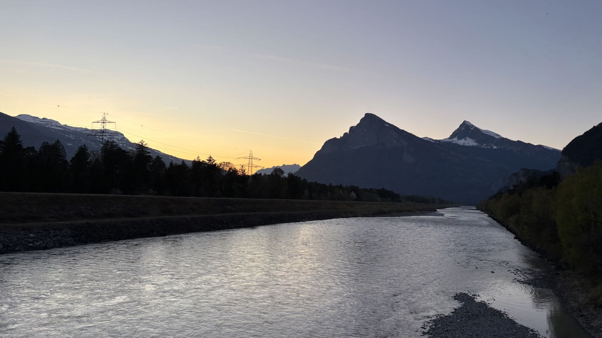
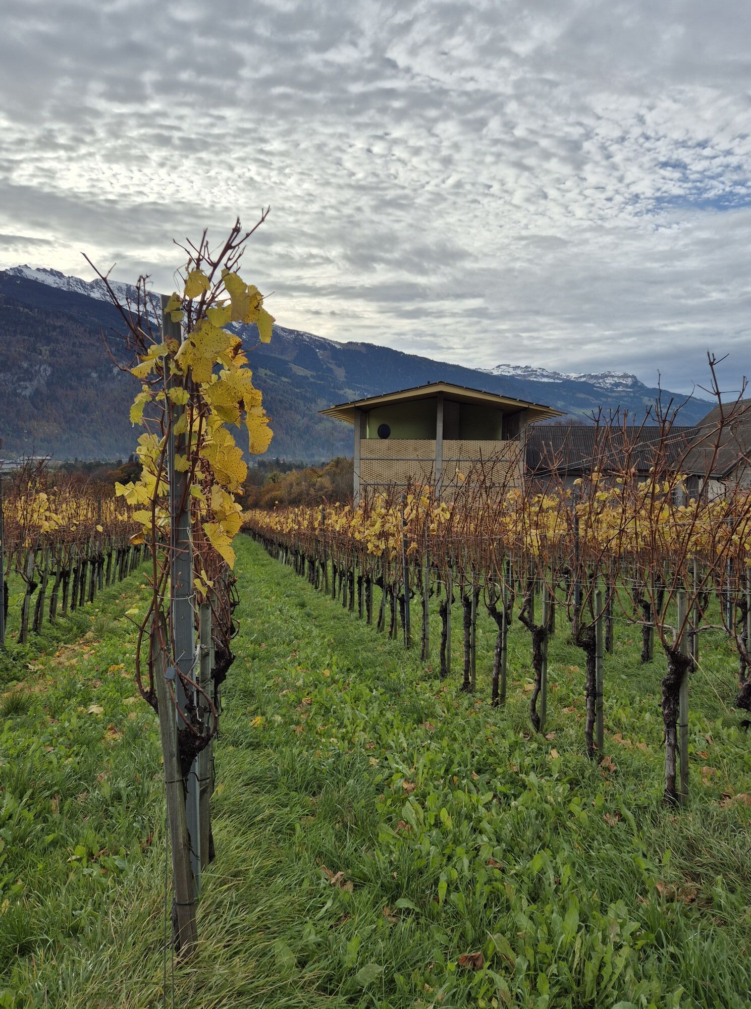
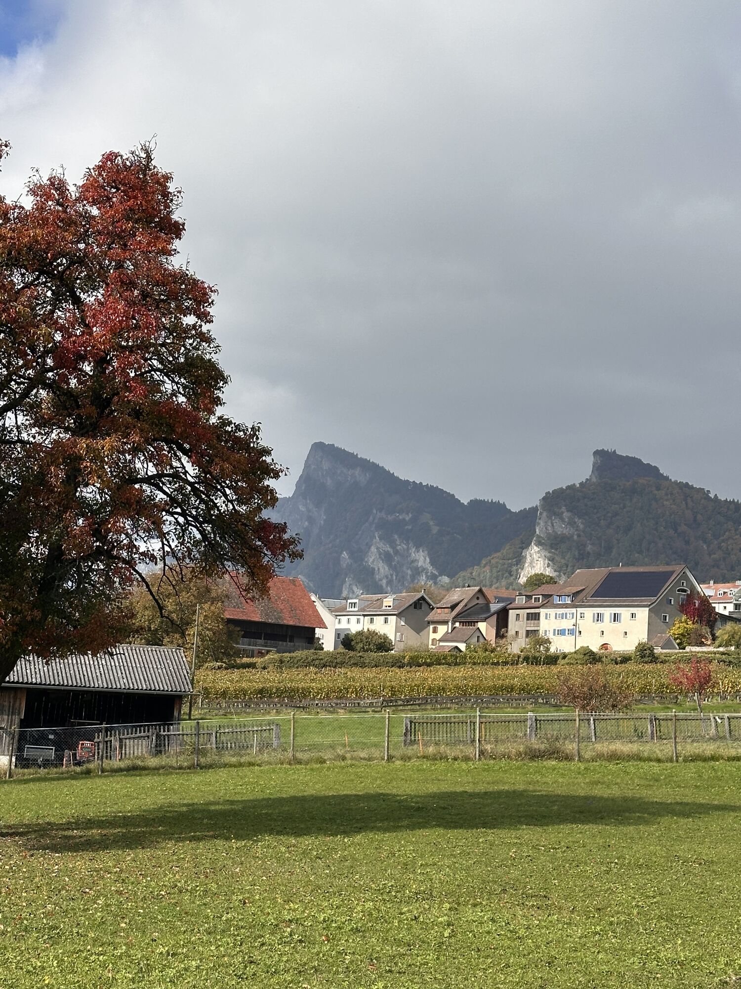
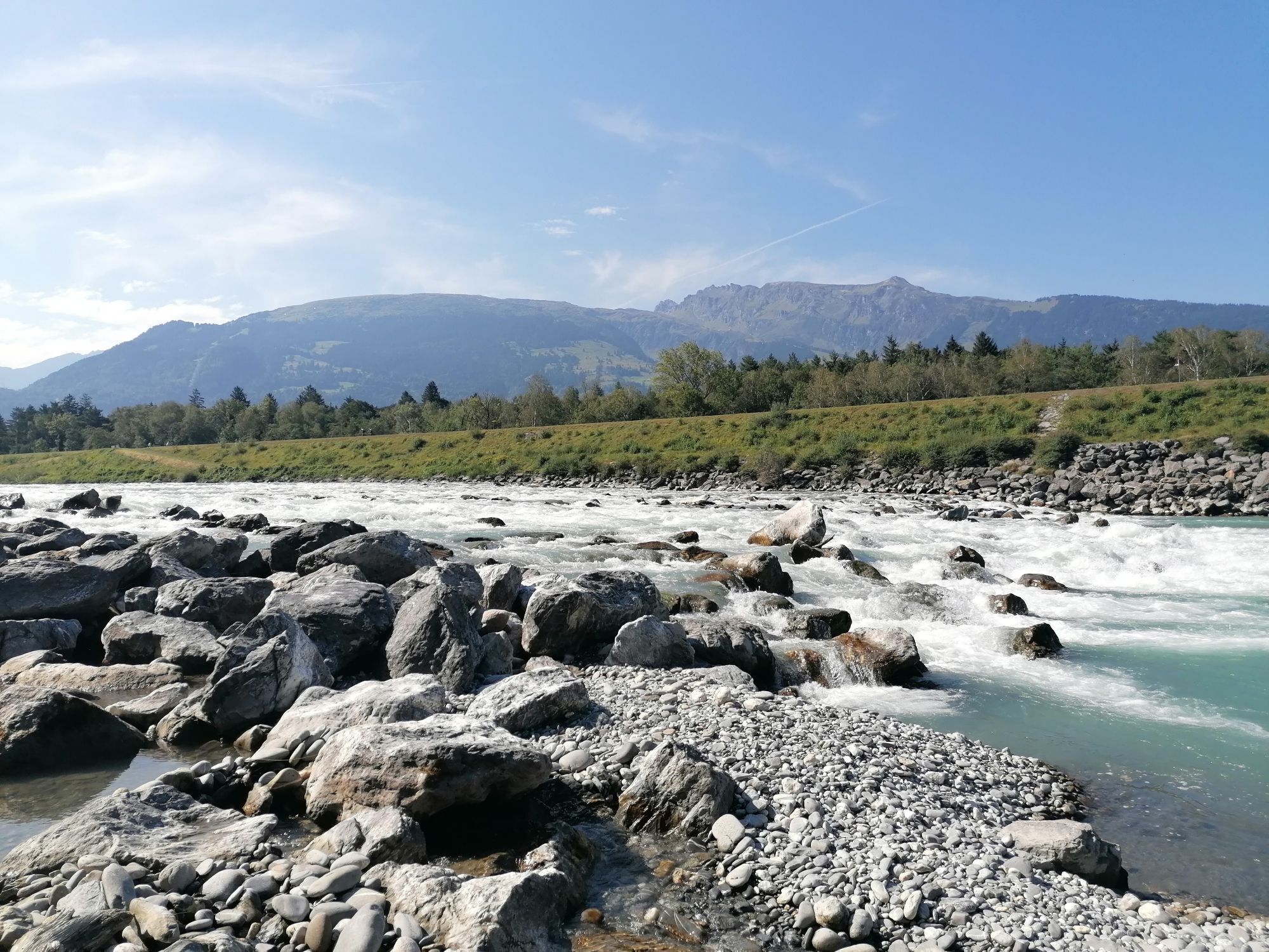
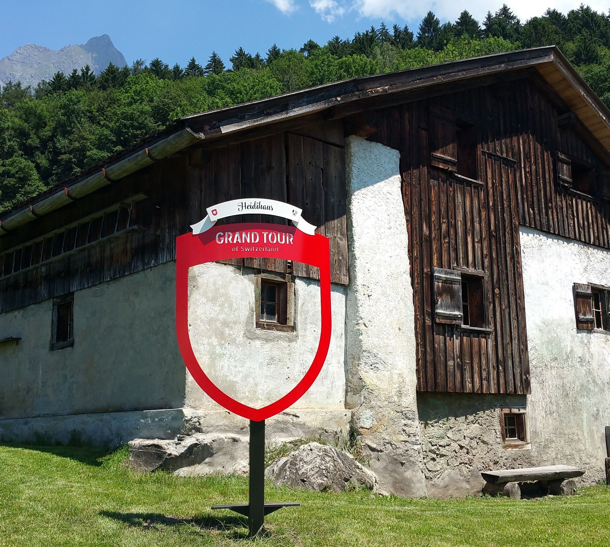
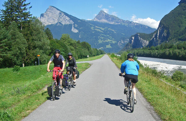
The varied stage mainly runs along the Rhine bank, with a very worthwhile detour through the wide vineyards between Malans and Fläsch. Attractions such as Marschlins Castle and Sargans Castle, the Heidi village, the picturesque town of Maienfeld, or the Principality of Liechtenstein with the princely castle make the route additionally interesting.

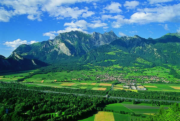

Chur - Igis Landquart - Jenins - Sargans - Buchs
Normal cycling equipment. Functional clothing is an advantage as climbs and descents alternate.
Take the Chur Nord motorway exit and follow the signs to the station.
By train to Chur.
Public parking lots are available at the station in Chur (paid).
2
Heidiland Tourismus AG
Information office Bad Ragaz
Am Platz 1
CH-7310 Bad Ragaz
Tel: +41 (0)81 300 40 20
E-mail: spavillage@heidiland.com
Internet: www.heidiland.com
Kamery internetowe z trasy
-
Kinderland - Grüsch Danusa
-
Stausee Steg
-
Pardiel
-
Alpenstadt Chur
-
Gauschla - Seilbahn Palfries
-
Gauschla - Seilbahn Palfries
-
Gauschla - Seilbahn Palfries
-
Gauschla - Seilbahn Palfries
-
Pardiel-Prodboden
-
Station-Pardiel
-
Masescha
-
Alphütte Maienfeld
-
Älplibahn Malans
-
Balzers
-
Balzers
-
Mittelstation Cavadura
-
Chur
-
Steg Grund
-
Steg Bachschlaufe
-
Buchserberg-Malbun
-
Buchserberg-Malbun
-
Buchserberg-Malbun
Uzyskaj wgląd
Zawsze na żywo z ponad 9 500 kamer internetowych. bergfex Jako użytkownik Pro, możesz teraz zobaczyć odpowiednie kamery internetowe dla wielu wycieczek w aplikacji wycieczki od. Pozwala to na bezpośredni podgląd aktualnych warunków.
Popularne wycieczki w okolicy
-
3,7
Fürstin-Gina-Weg
Wędrówka 10,7 km -
3,8
Sassweg - von Malbun zum Sass-Seelein
Wędrówka 4,14 km -
4,7
5-Seen Wanderung am Pizol
światłoWędrówka 10,1 km -
4,9
From Malbun to the Schönberg
średniWędrówka 12,4 km -
4,7
Tamina Gorge Circular Route
średniWędrówka 14,0 km -
4,7
Alvier
średniWędrówka 3,33 km -
4,6
Pizol - Batöni - Weisstannen
ciężkiWędrówka 11,7 km -
4,6
Pizalun circular route
światłoWędrówka 7,18 km -
3,3
Wanderbares Zalimtal
średniWędrówka 12,2 km -
4,7
Off to the Falknis
ciężkiWędrówka 18,2 km
Wędrówki i tropienie


Nie przegap ofert i inspiracji na następne wakacje
Twój adres e-mail została dodana do listy mailingowej.





