







Scuol – Motta Naluns 964
The route starts in Scuol and follows a steeper path, almost parallel to the mountain railway, uphill to Tanter Dossa and further to Flöna. From here it goes now towards Prui, crossing both the Motta Naluns...
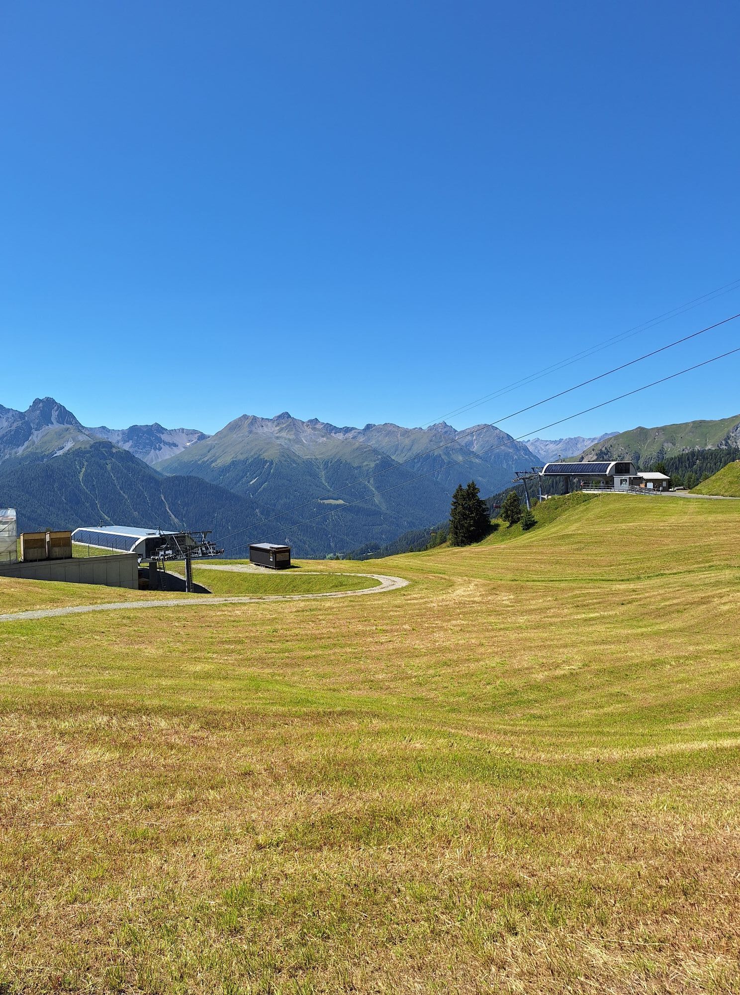
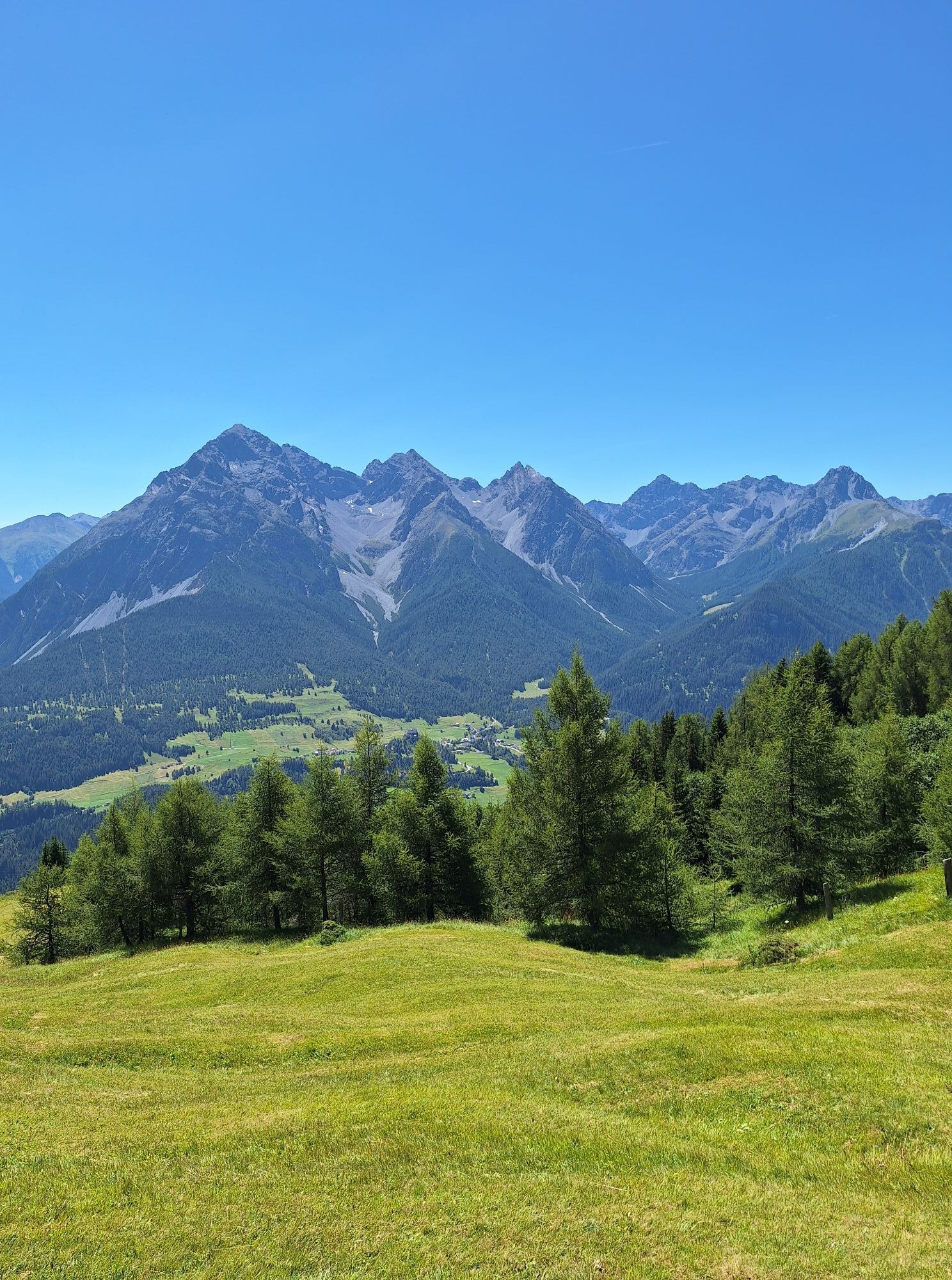
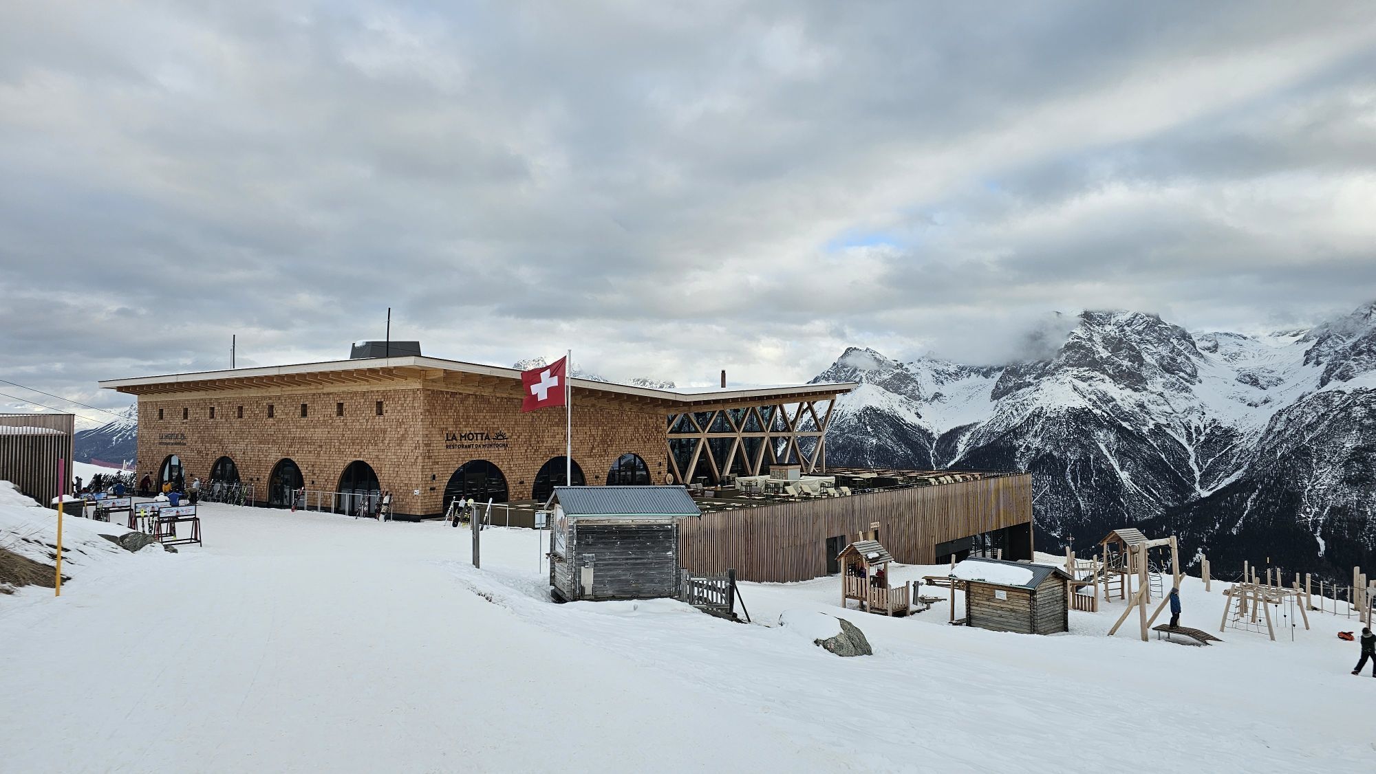
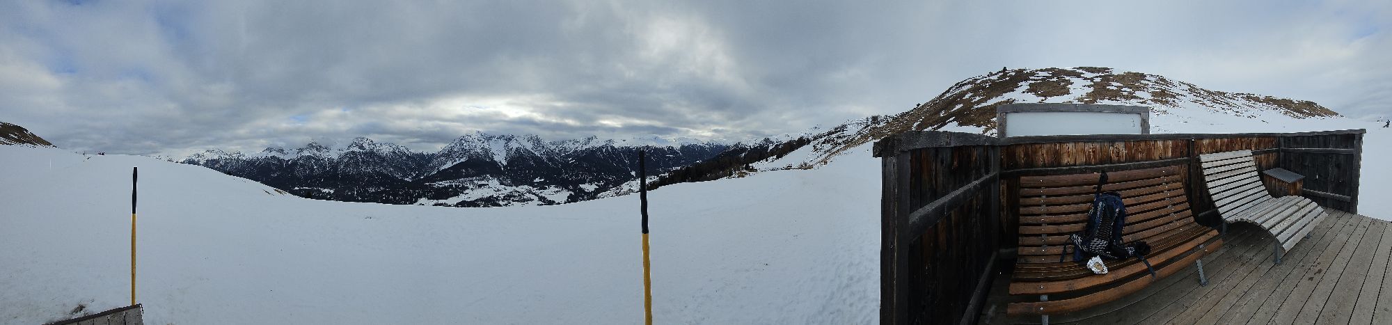
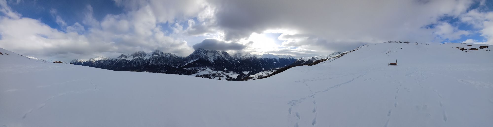
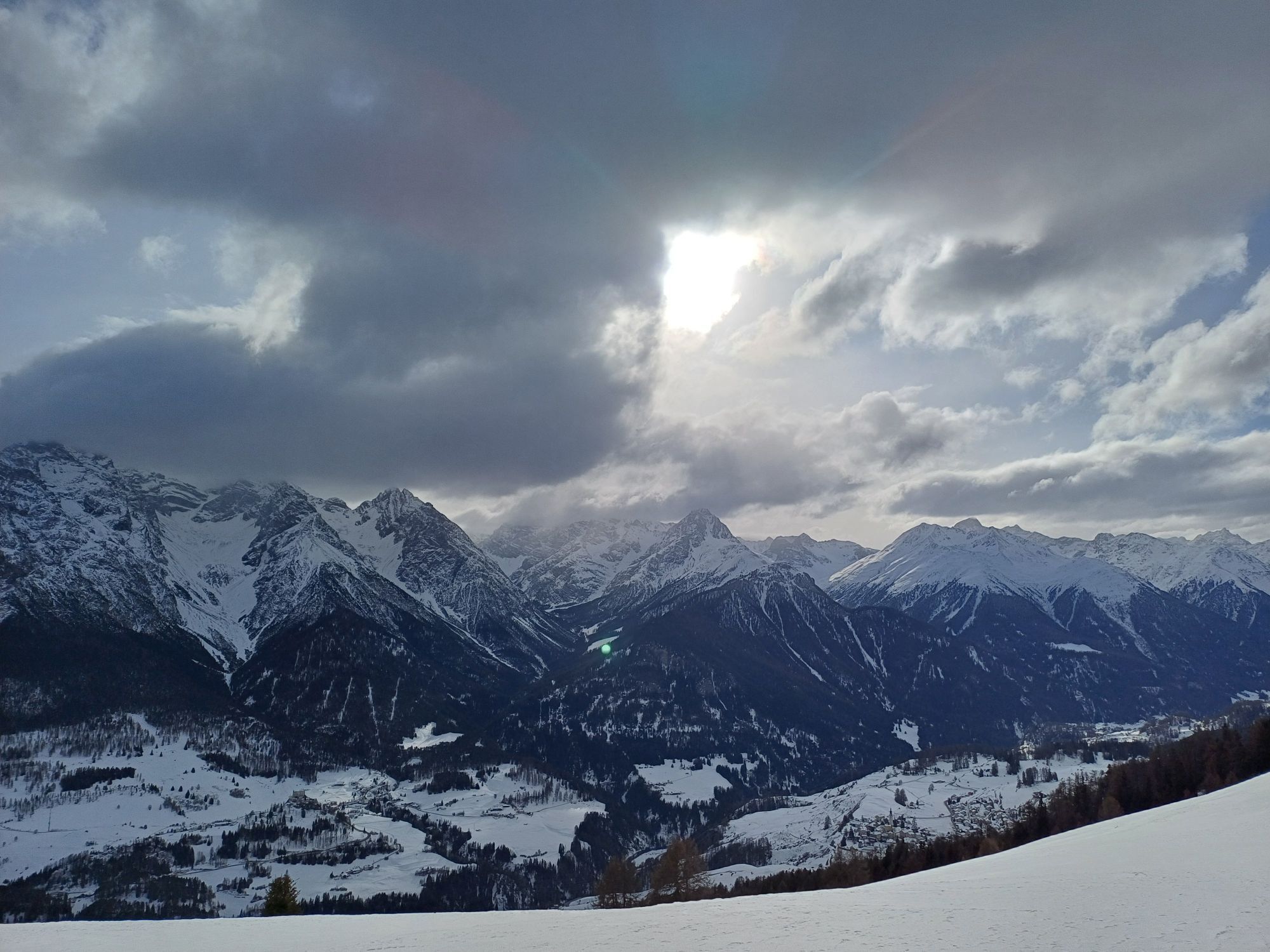
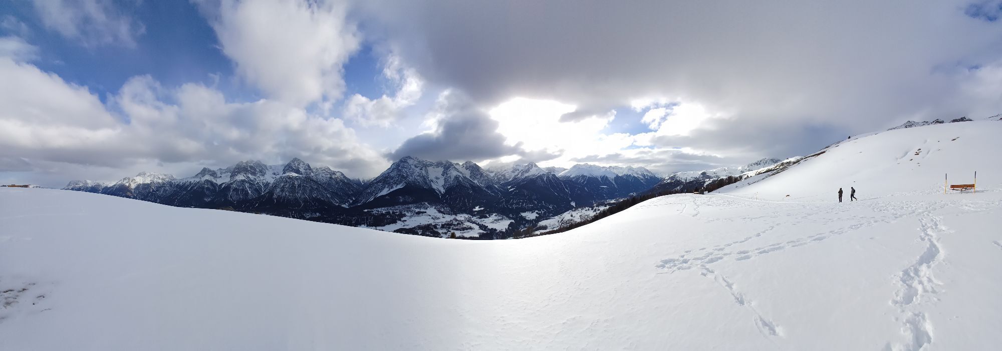
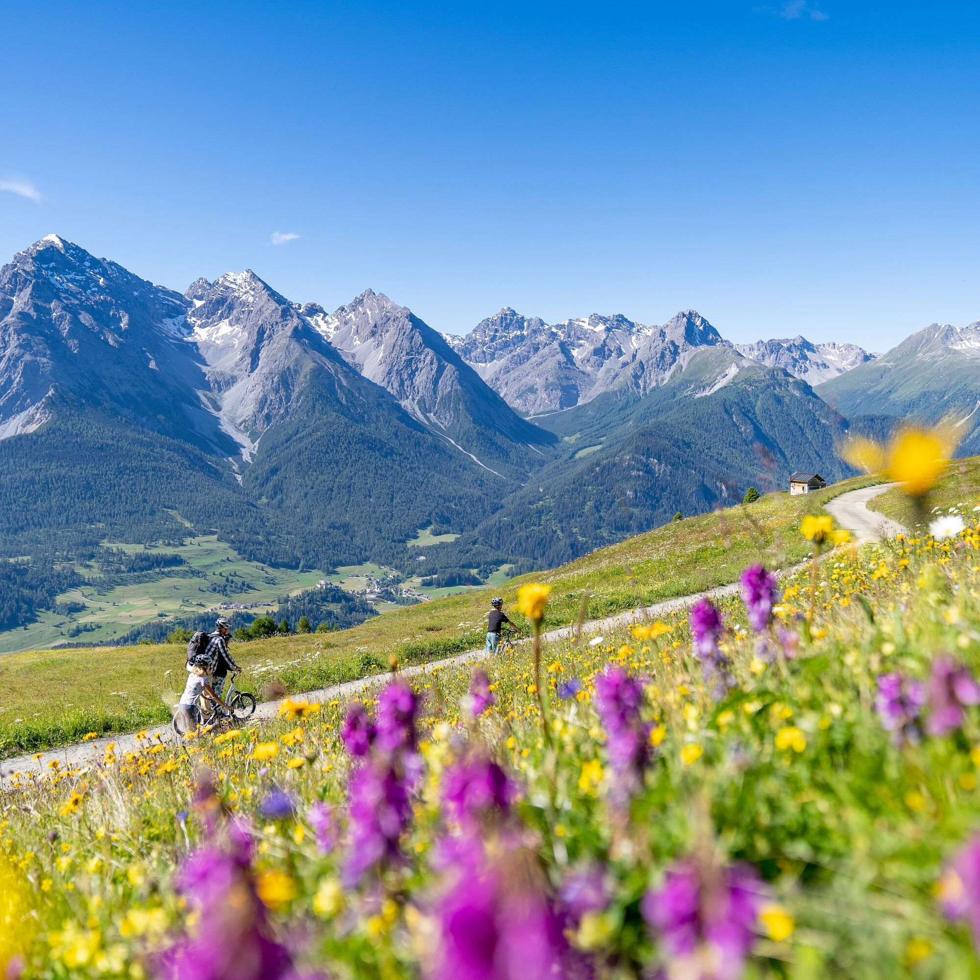
The route starts in Scuol and follows a steeper path, almost parallel to the mountain railway, uphill to Tanter Dossa and further to Flöna. From here it goes now towards Prui, crossing both the Motta Naluns gondola and the Ftan – Prui chairlift. Your route leads you here on a good path through wooded area, also called God S-chür. From the Prui mountain station you then walk on the Flurina path to the Motta Naluns mountain station. Here you will be rewarded with the view over the valley, Scuol, and the castle Tarasp opposite. In addition, you can refresh yourself excellently at the mountain restaurant «La Motta».
Return to Scuol either via the same path, a hiking trail from Motta Naluns or comfortably with the gondola.
Signage:
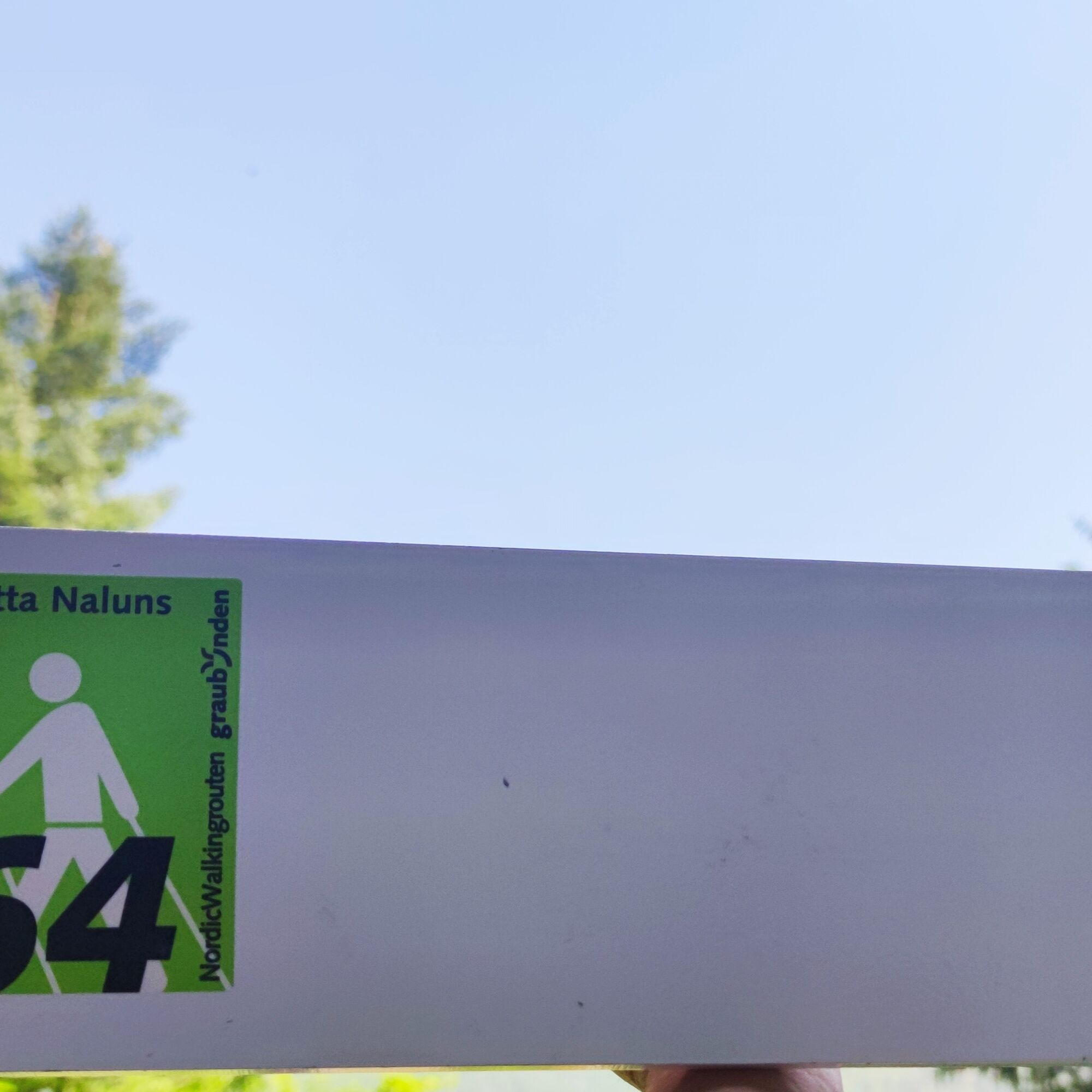
The route is marked on site with green route stickers on white signposts.


Scuol
Tanter Dossa
Flöna
God S-chür
Prui mountain station
Flurina path
Motta Naluns mountain station
sturdy footwear
Emergency call:
144 Emergency call, first aid 1414 Mountain rescue REGA 112 International emergency callFrom the north: via Landquart – Klosters by car transport through the Vereina tunnel (Selfranga - Sagliains) or via the Flüela Pass into the Lower Engadin on H27
From the east: via Landeck / Austria towards St. Moritz on H27
From the south: via Reschen Pass (Nauders-Martina) or Ofen Pass (Val Müstair-Zernez) on H27
By the Rhaetian Railway (from Chur, Landquart/Prättigau or from Upper Engadin) hourly to Scuol-Tarasp
By PostBus (from Martina, Sent, Ftan or Tarasp) hourly to Scuol-Tarasp station
Paid parking spaces are available at the valley station of the Scuol mountain railways as well as distributed throughout the village of Scuol.
The route can be extended (Scuol – Ftan – Motta Naluns 964.1) and is also suitable as a trail running route.
Kamery internetowe z trasy
Uzyskaj wgląd
Zawsze na żywo z ponad 9 500 kamer internetowych. bergfex Jako użytkownik Pro, możesz teraz zobaczyć odpowiednie kamery internetowe dla wielu wycieczek w aplikacji wycieczki od. Pozwala to na bezpośredni podgląd aktualnych warunków.
Popularne wycieczki w okolicy
-
4,8
Hiking trail Piz Buin - view
średniWędrówka 14,4 km -
5,0
Großer Piz Buin (3.312m), Normalweg 2019 über Ochsentaler Gletscher
ciężkiWycieczka wysokogórska 24,1 km -
4,7
Jamtal lodge
średniWędrówka 19,6 km -
4,3
National Park: Margunet
światłoWędrówka 7,76 km -
4,8
National park: Zernez – Munt Baselgia – Macun lakes – Alp Zeznina – Lavin
ciężkiWędrówka 22,9 km -
3,7
Bielerhöhe - Vermuntkopf - Bielerhöhe
średniWędrówka 17 km -
5,0
Samnaun Dorf – Muttler
ciężkiWędrówka 14,8 km -
5,0
Ascent of Hohes Rad and stop at the Wiesbadener Hut
ciężkiWędrówka 15,8 km -
4,5
Piz Buin Gipfel
średniWycieczka wysokogórska 10,4 km -
5,0
3 Länder Tour Uinaschlucht MTB
ciężkiMountainbike 74,6 km
Wędrówki i tropienie


Nie przegap ofert i inspiracji na następne wakacje
Twój adres e-mail została dodana do listy mailingowej.





