







Schellen-Ursli route

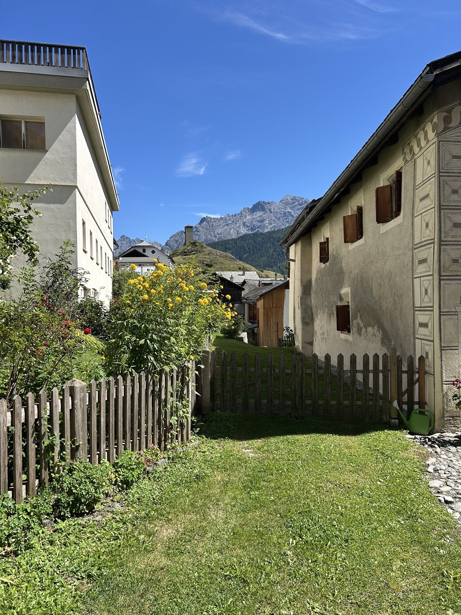

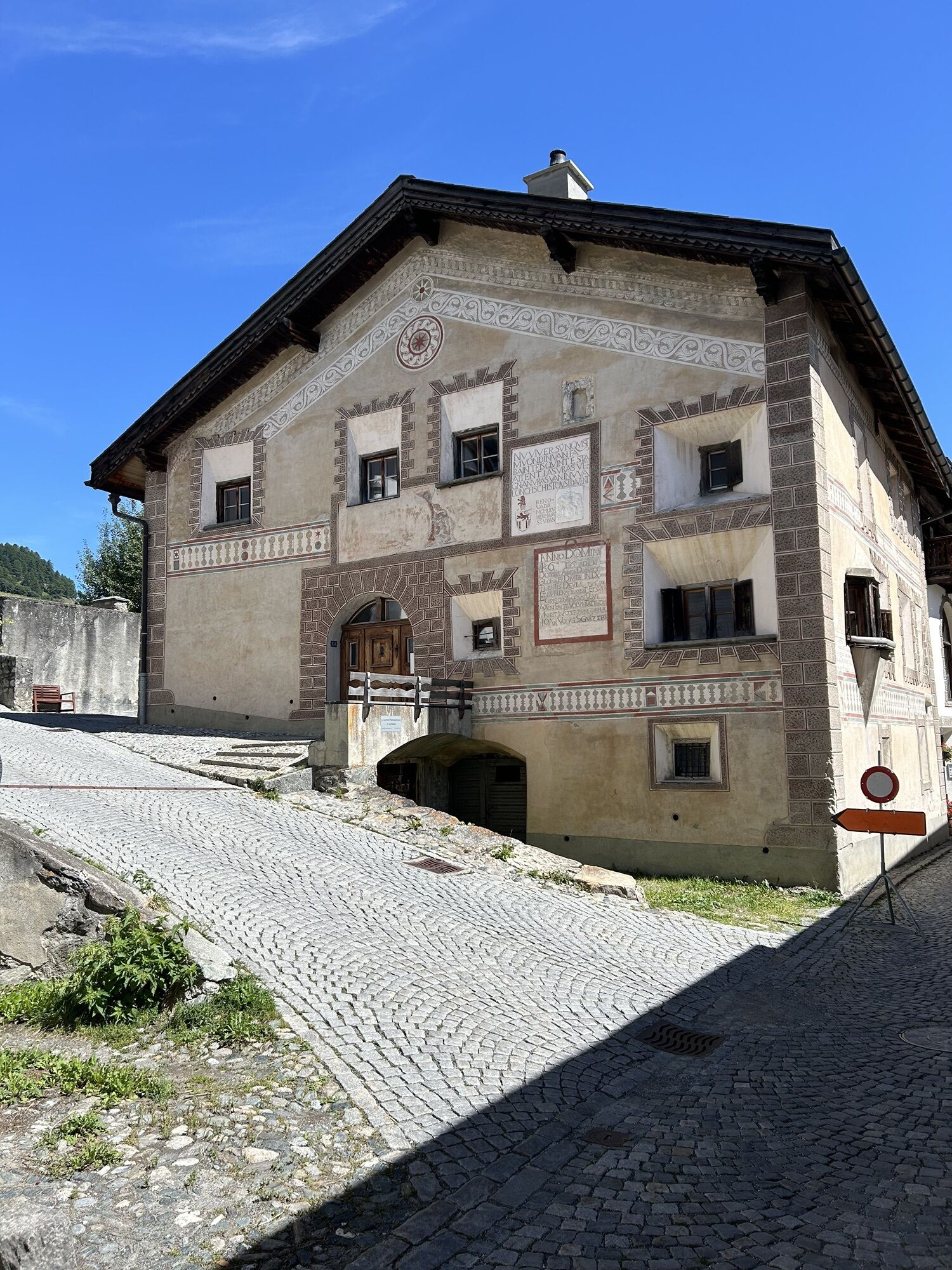
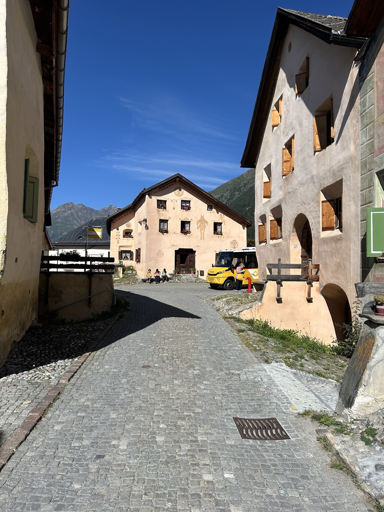
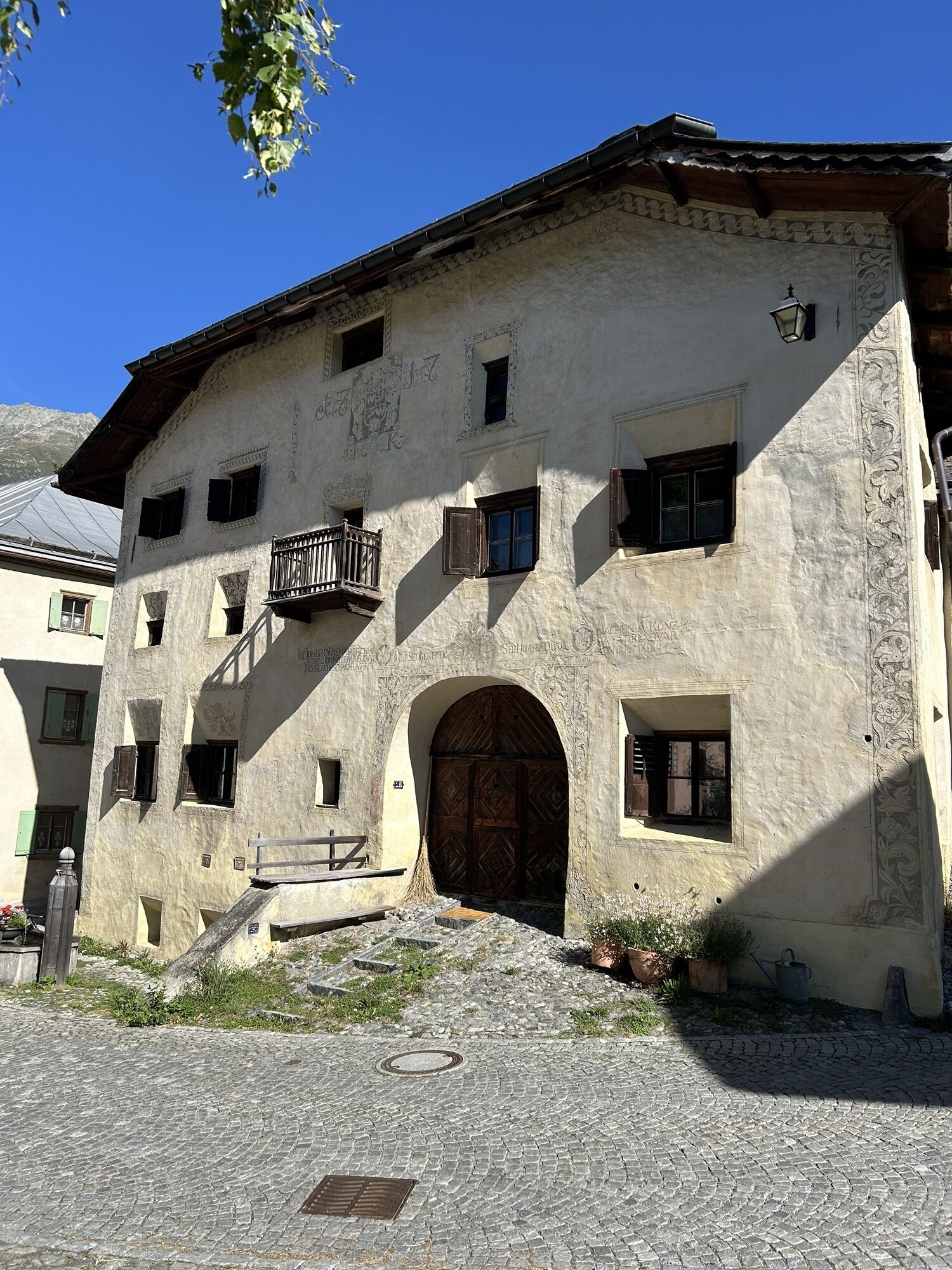
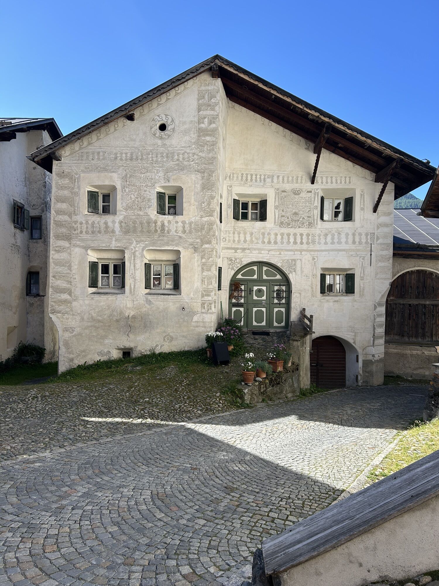
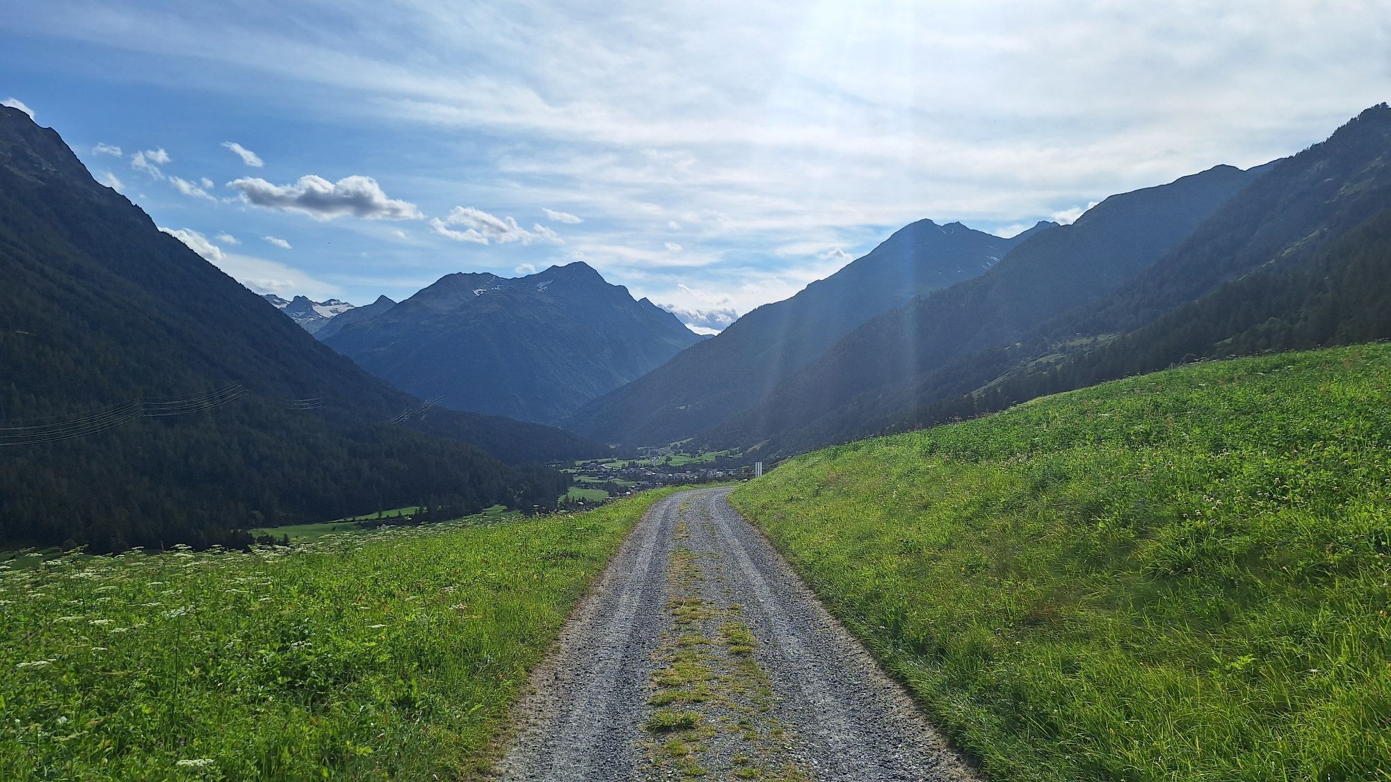
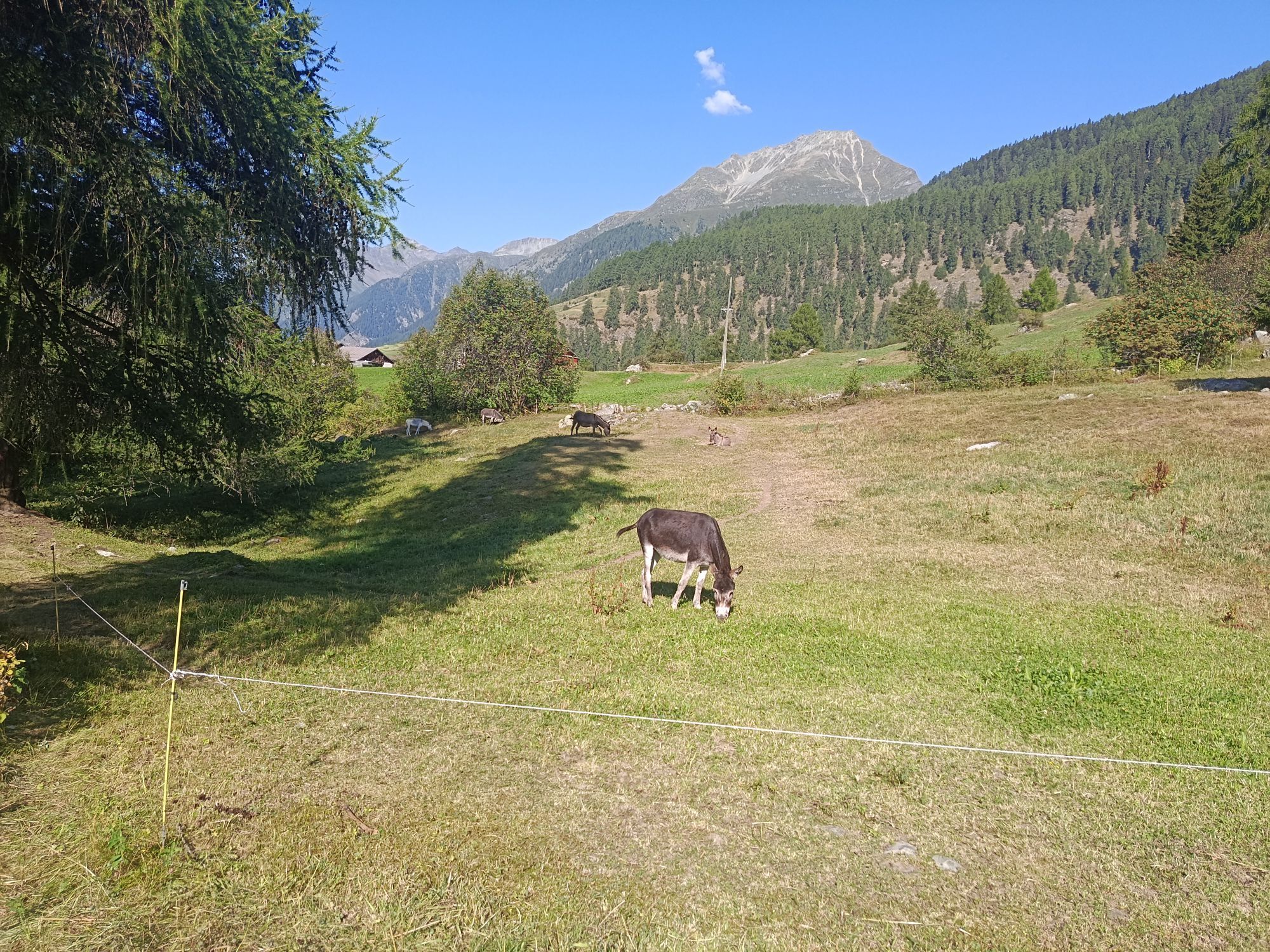
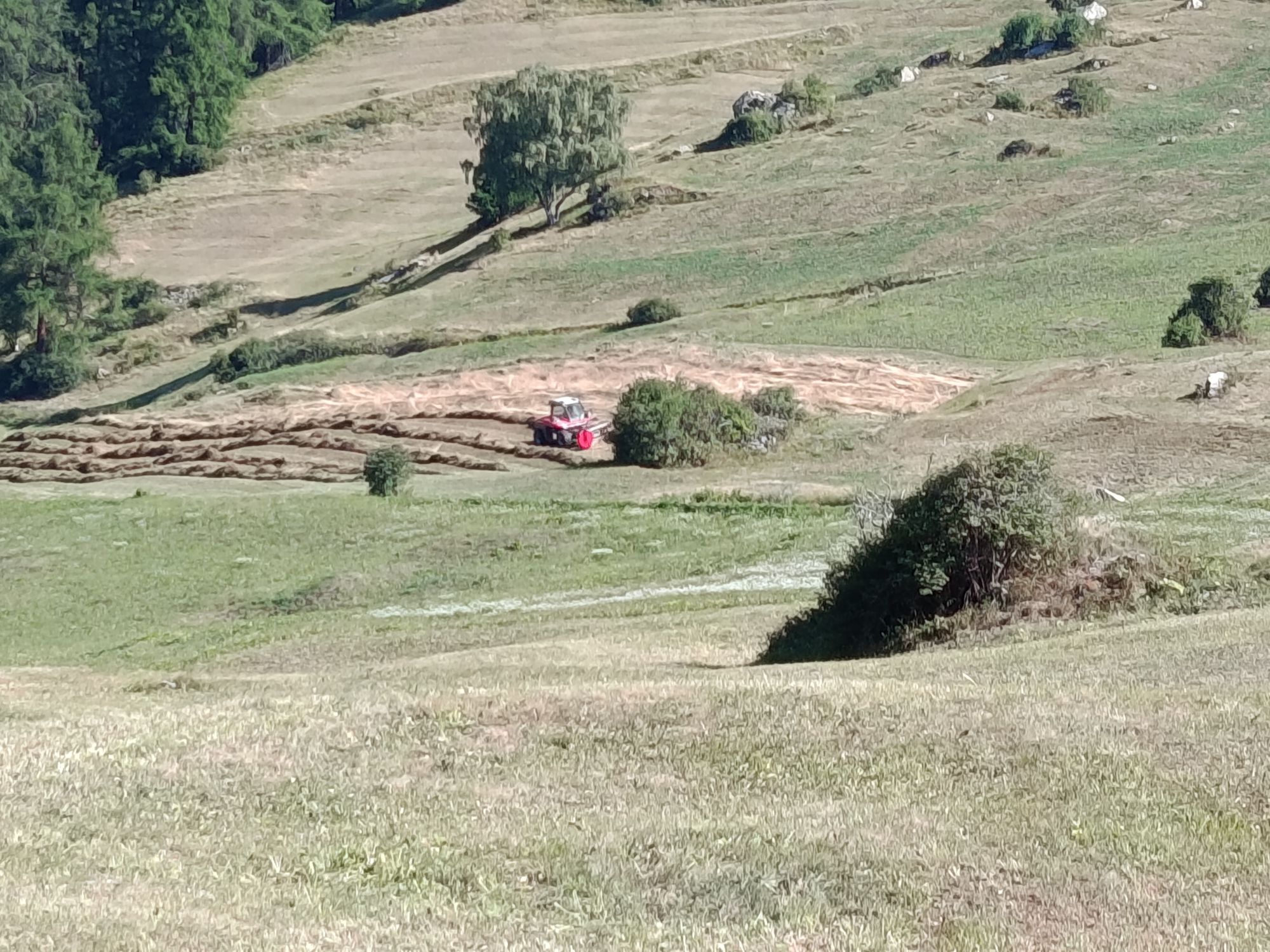
From Ardez train station, first steadily downhill to the Inn bridge and then steeply uphill to the picturesque quiet hamlet of Sur En, where the winter scenes of the feature film "Schellen-Ursli" were...
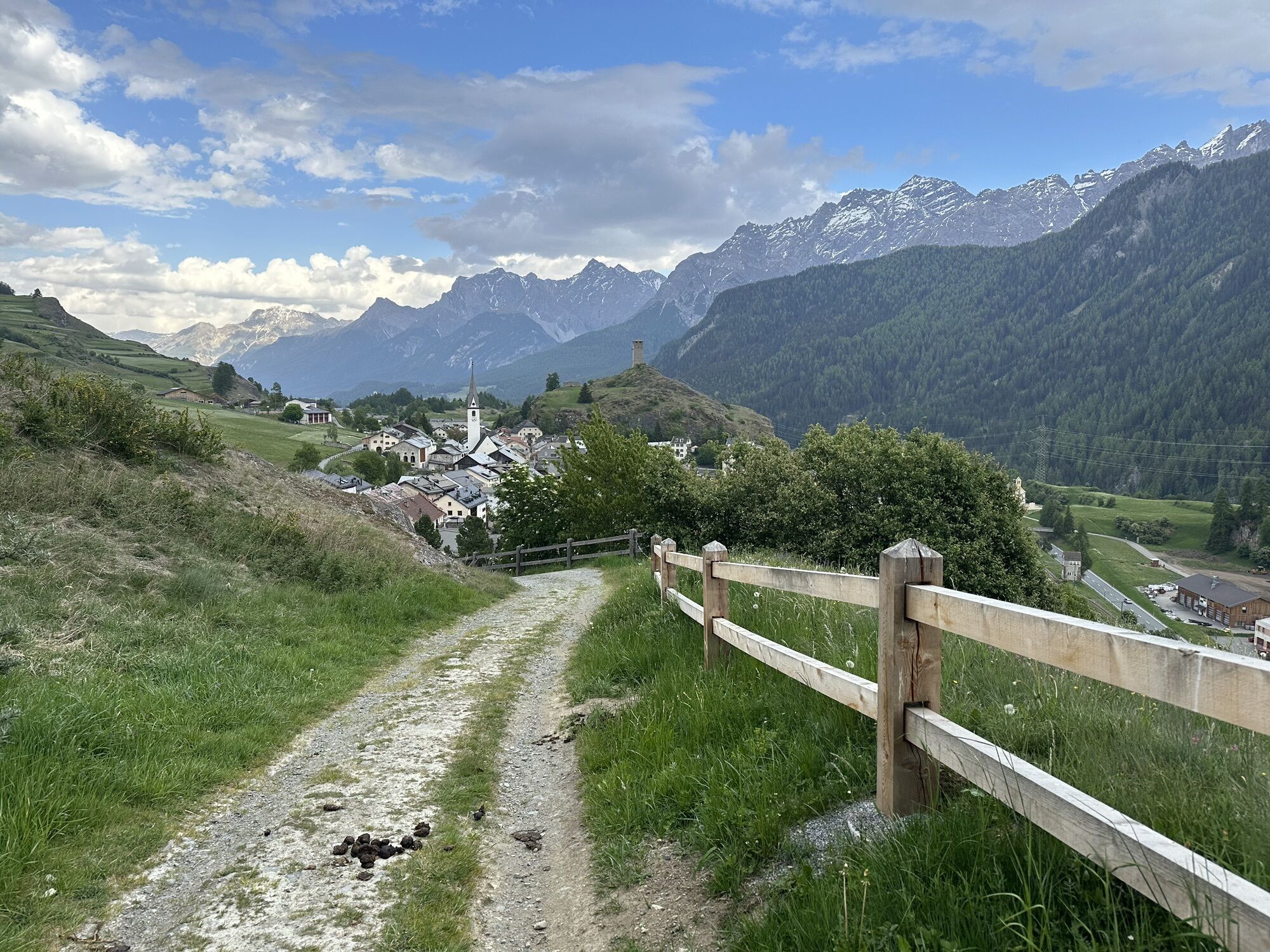
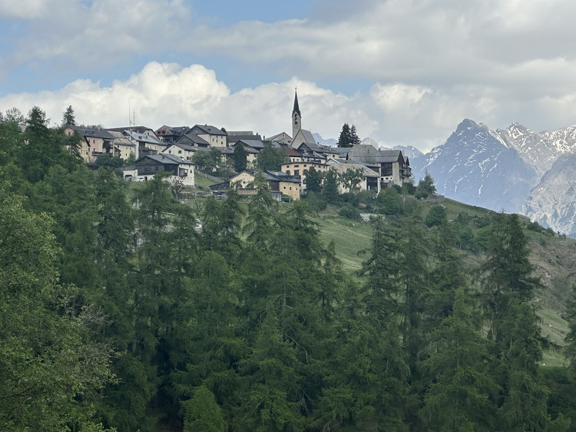
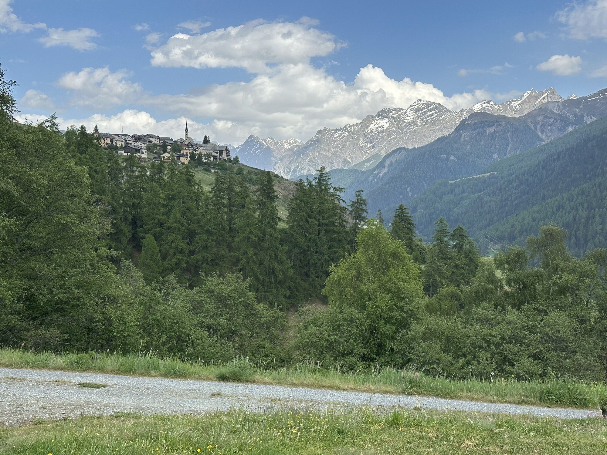
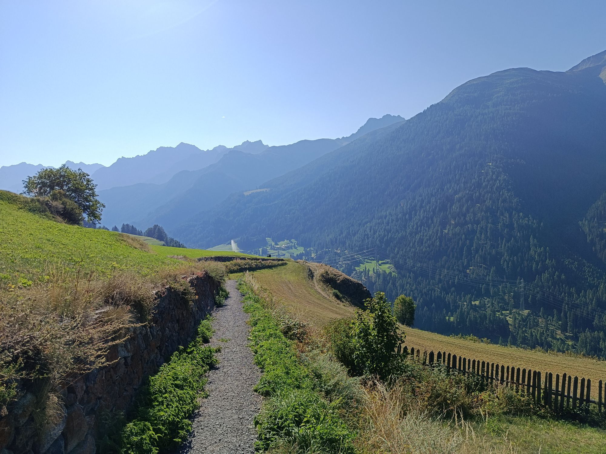
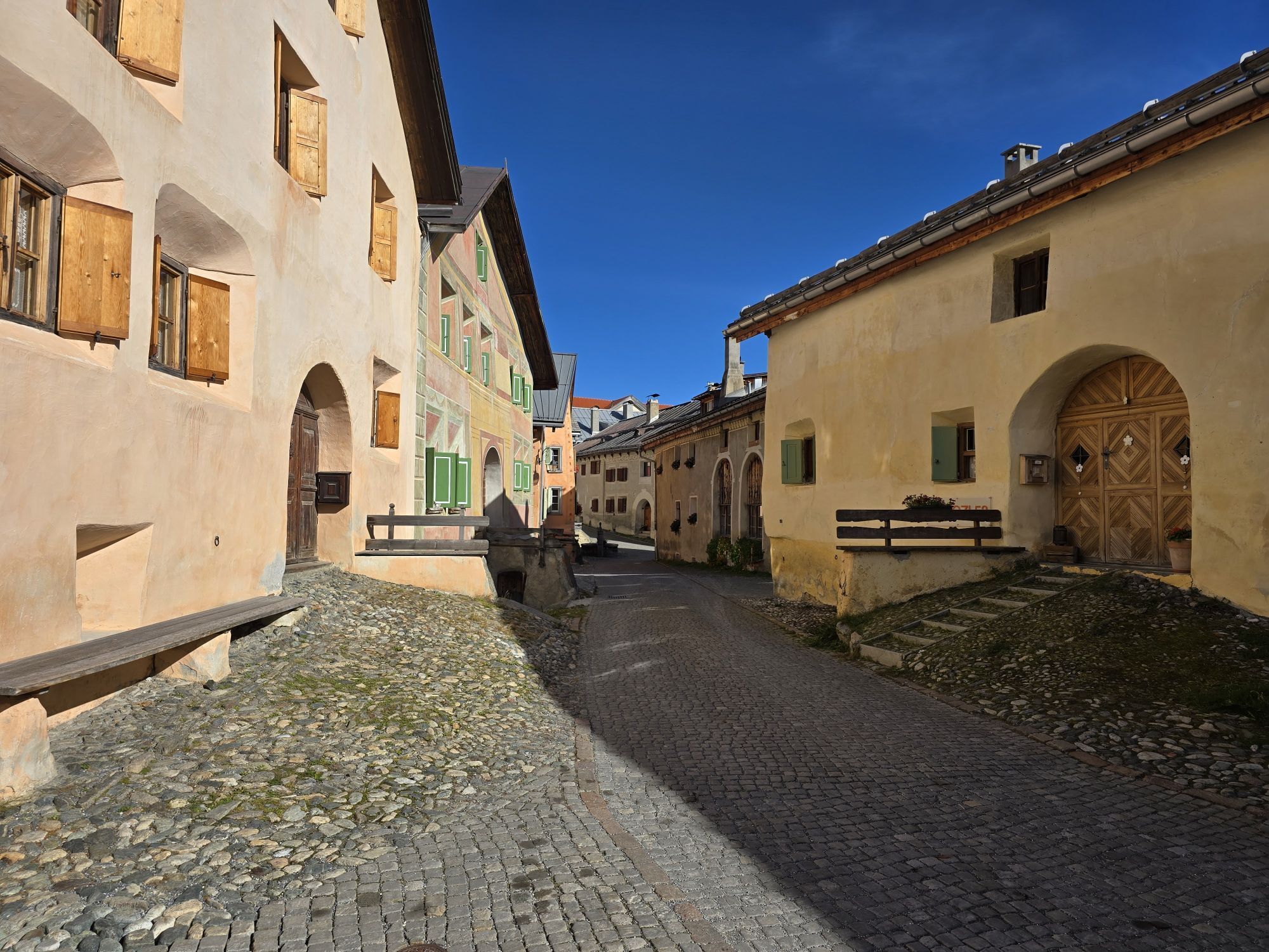
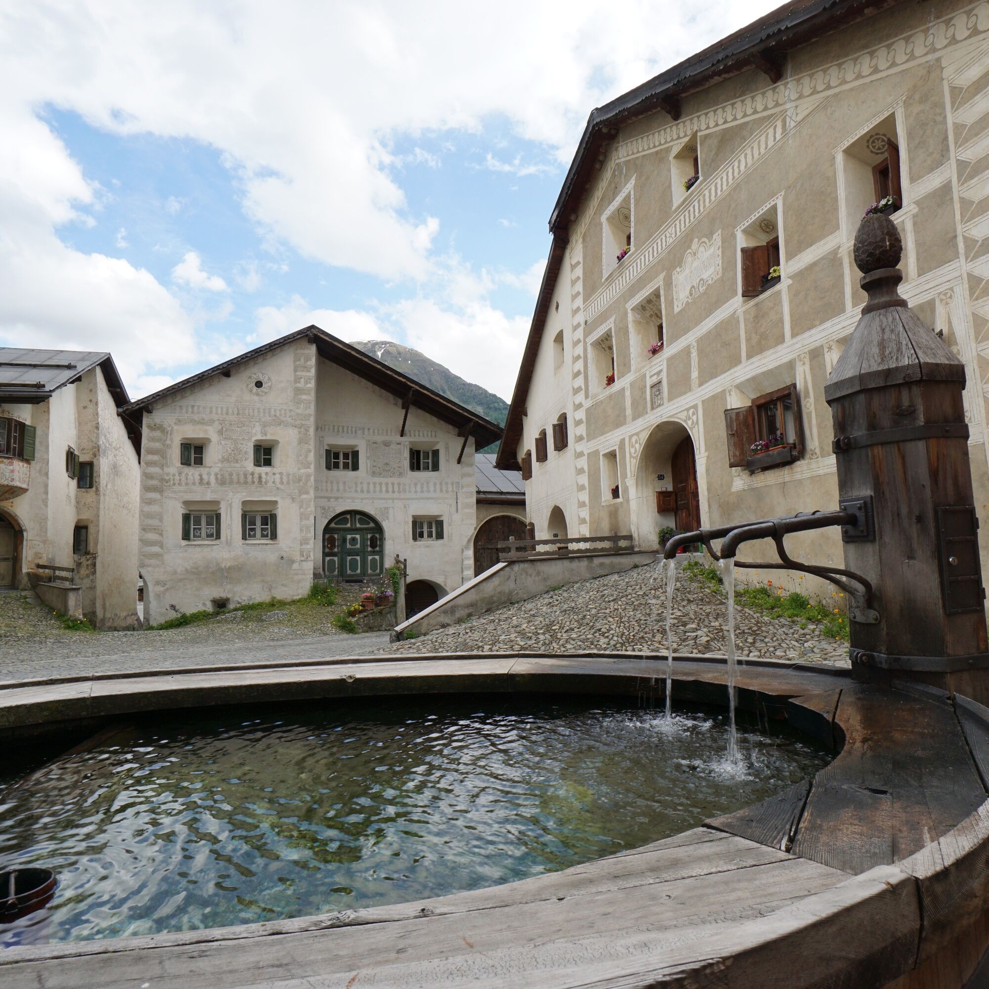
From Ardez train station, first steadily downhill to the Inn bridge and then steeply uphill to the picturesque quiet hamlet of Sur En, where the winter scenes of the feature film "Schellen-Ursli" were filmed. The fountain invites a pause before continuing with gentle ups and downs westwards, variedly past Giarsun to Lavin. In Lavin, the route leads over the covered wooden bridge and through the village center back towards the east. At the eastern edge of the village, near the church, the railway line and bypass road are passed under, and the long climb to Guarda is taken on. Upon arriving in Guarda, a rest or a walk through the village, where the story of Schellen-Ursli originated and takes place, is worthwhile. Following the old road eastwards, the route goes over the hamlet Bos-cha, occasionally with views over the valley to Sur En, back to Ardez. The view over Ardez to the Lower Engadine Dolomites up to Tarasp Castle rounds off this route as another lasting memory.

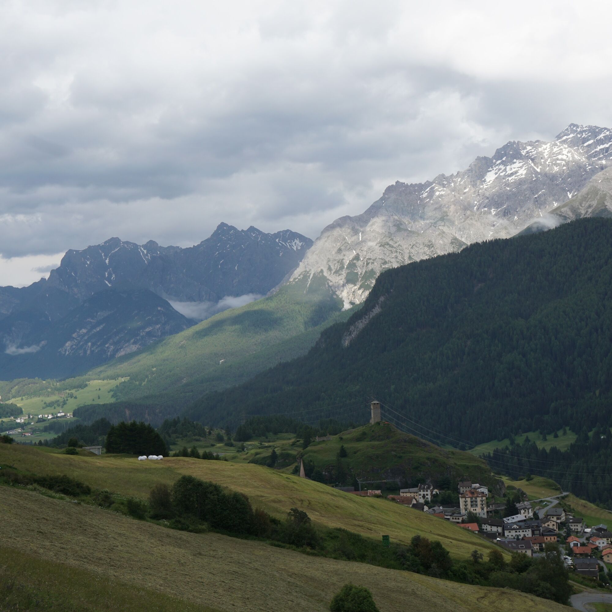
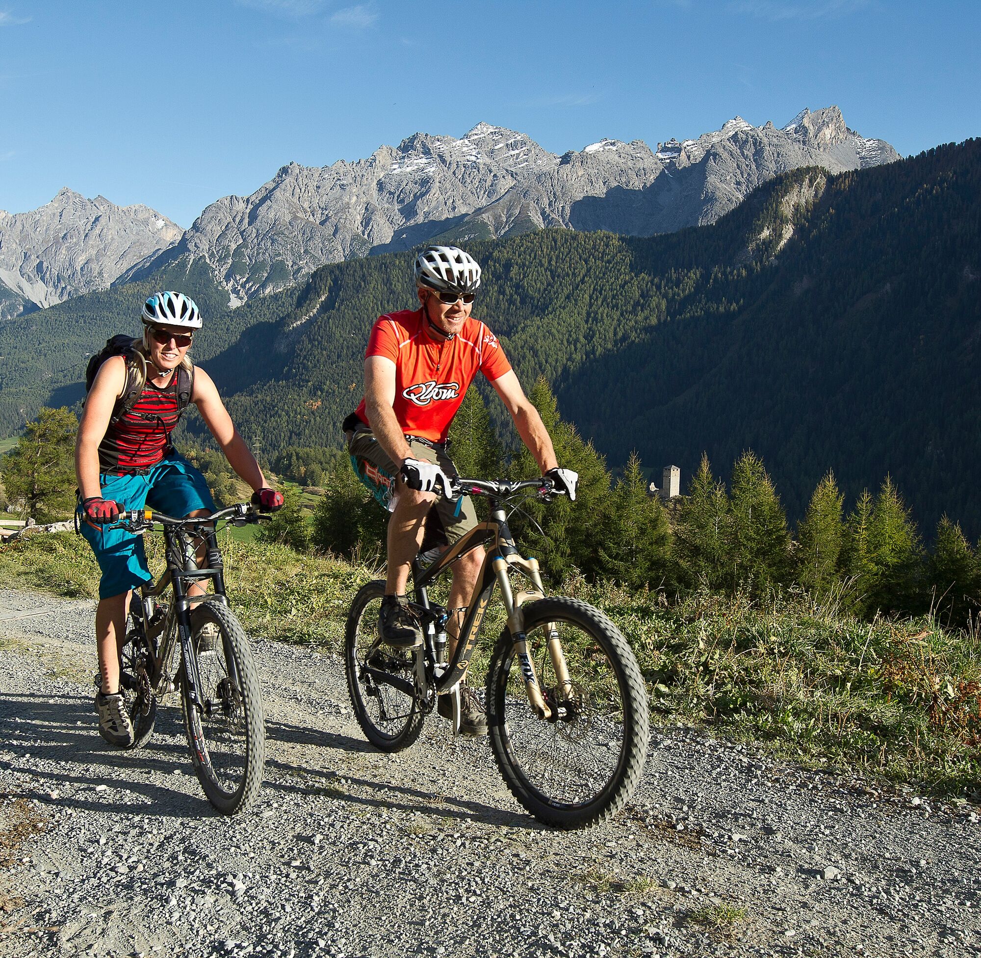
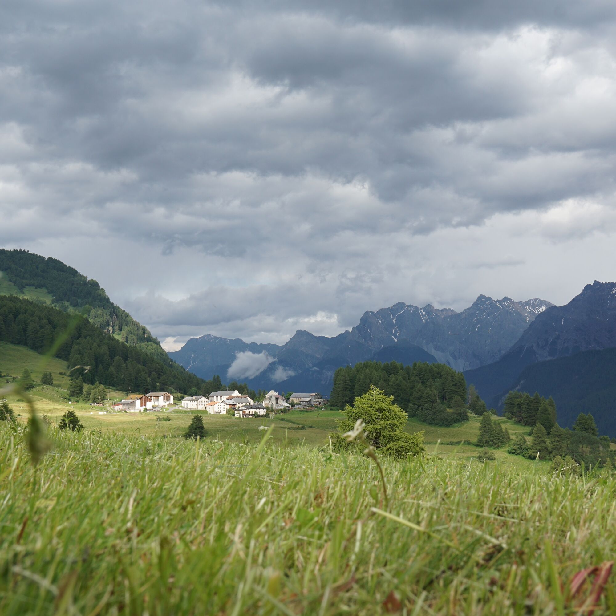
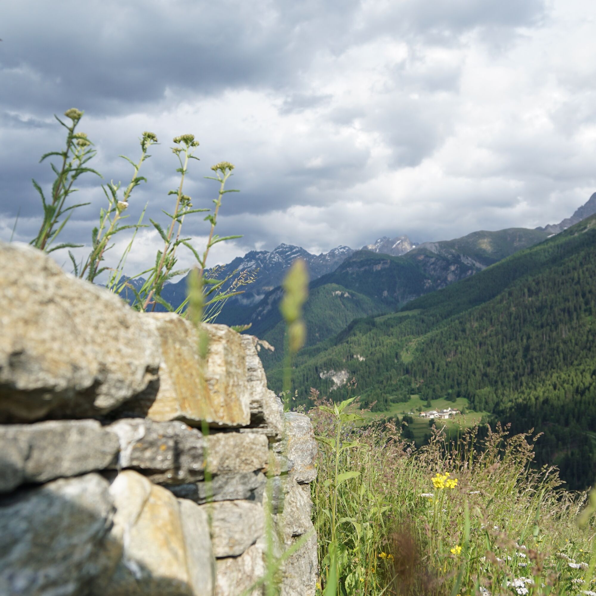
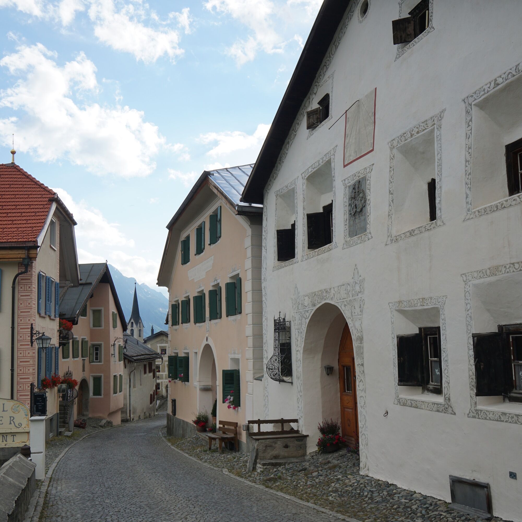

From Ardez train station downhill to the Inn bridge
Then steeply uphill to Sur En d'Ardez
Continue westwards past Giarsun to Lavin
Over the covered wooden bridge and through the village center back towards the east
At the eastern edge of the village near the church, pass under the railway line and bypass road and continue towards Guarda
In Guarda, follow the road eastwards over Bos-cha back to Ardez
Helmet, gloves, good footwear, glasses, rain and sun protection, water bottle, repair kit, first aid kit
The route was rated under favorable weather conditions; current weather conditions and forecasts must be strictly observed before starting the route. This route requires a high level of riding safety, balance, and technical skills.
Emergency numbers:
144 emergency call, first aid
1414 mountain rescue REGA
112 international emergency call
Please be considerate when crossing and overtaking hikers.
The mountain bike routes in Graubünden largely run on single trails that are also signposted as hiking trails.
Hikers generally have the right of way.
Ardez is located directly on the Engadine road H27 (15 minutes drive from Vereina south portal)
By Rhaetian Railway (from Chur, Landquart/Prättigau, Upper Engadine, or from Scuol) hourly to Ardez train station
Paid parking at the station (Staziun) in Ardez or at designated parking areas above the village (school building)
www.engadin.com/schellen-ursli
The circuit can also be started at will in Guarda, Giarsun or Lavin.


Popularne wycieczki w okolicy
-
4,8
Hiking trail Piz Buin - view
średniWędrówka 14,4 km -
4,8
Jöriseen
średniWędrówka 11,3 km -
4,4
National Park: Margunet
światłoWędrówka 7,76 km -
4,7
Jamtal lodge
średniWędrówka 19,6 km -
5,0
Großer Piz Buin (3.312m), Normalweg 2019 über Ochsentaler Gletscher
ciężkiWycieczka wysokogórska 24,1 km -
4,8
National park: Zernez – Munt Baselgia – Macun lakes – Alp Zeznina – Lavin
ciężkiWędrówka 22,9 km -
4,7
Fluela Schwarzhorn 3147 m
światłoWycieczka wysokogórska 7,34 km -
4,8
Silvretta Stausee
światłoWędrówka 6,22 km -
5,0
National Park: Chamanna Cluozza
średniWędrówka 8,37 km -
4,8
National Park: Grimmels (circular hike)
światłoWędrówka 6 km
Wędrówki i tropienie


Nie przegap ofert i inspiracji na następne wakacje
Twój adres e-mail została dodana do listy mailingowej.





