


Sils - Maloja - Lägh da Cavloc - Sils
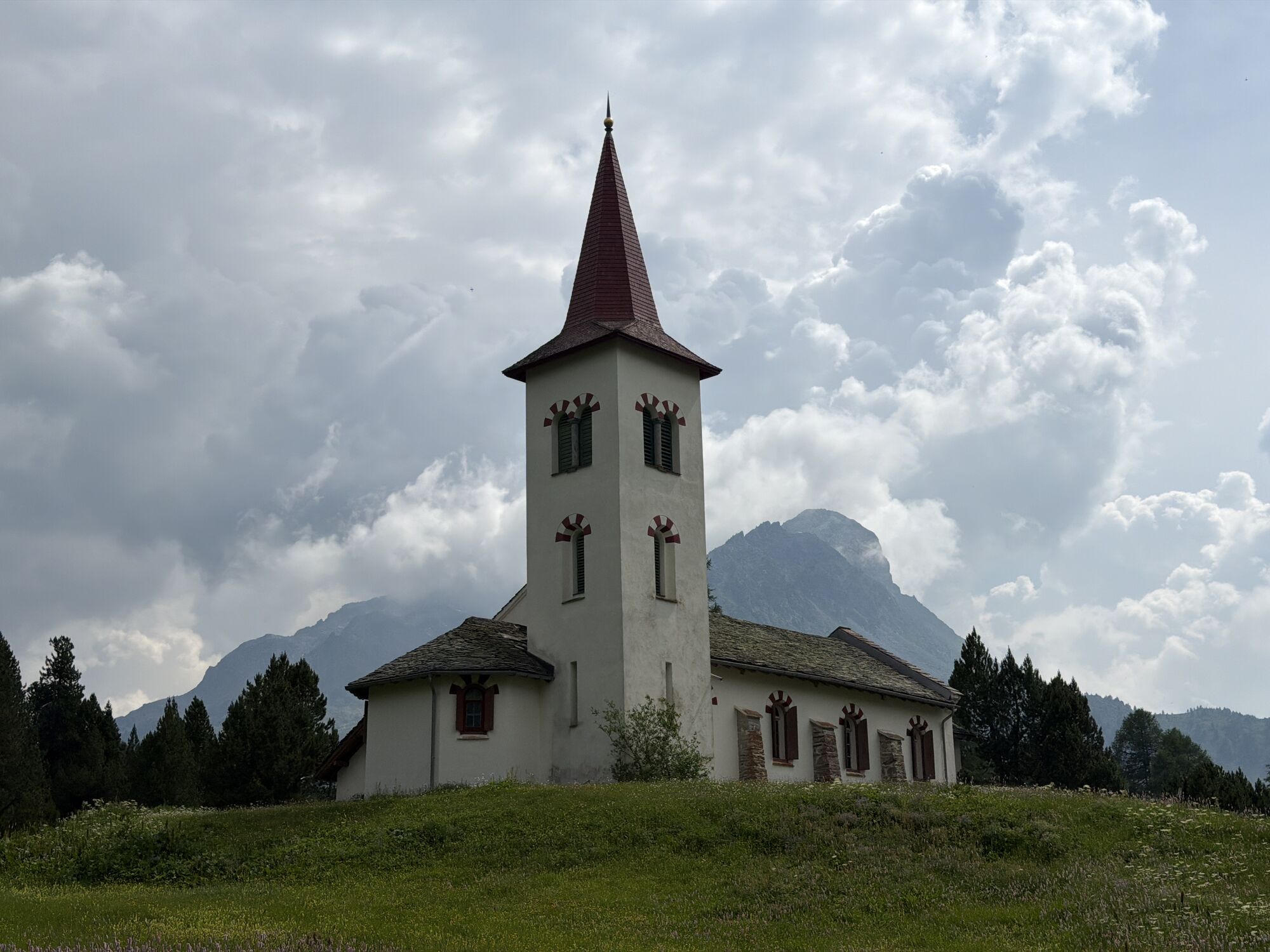


From the picturesque village square of Sils Maria, follow the carriage road uphill, passing the impressive historic Hotel Waldhaus. Here you'll also enter the front Fextal. In the Vaüglia valley basin,...
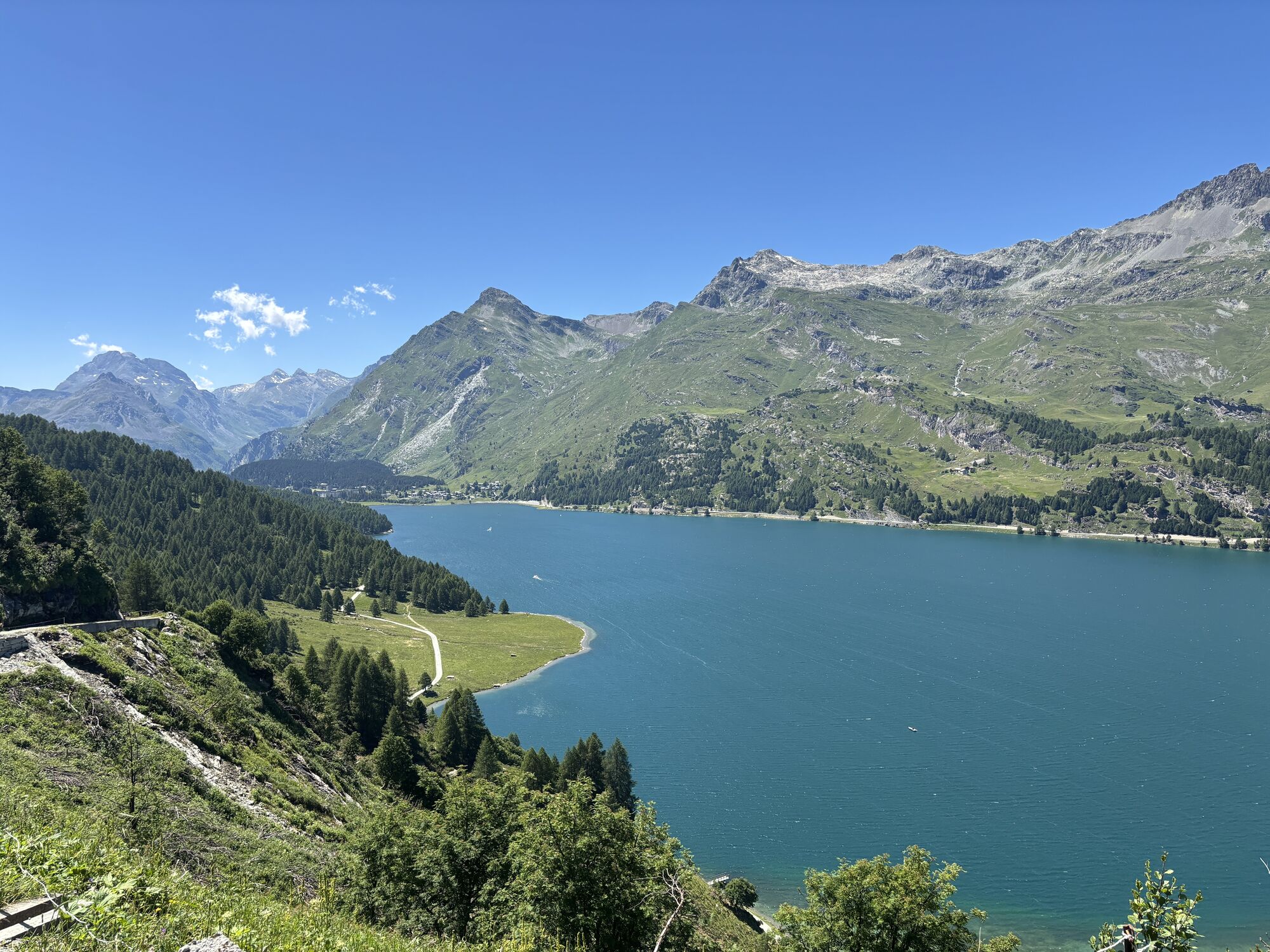
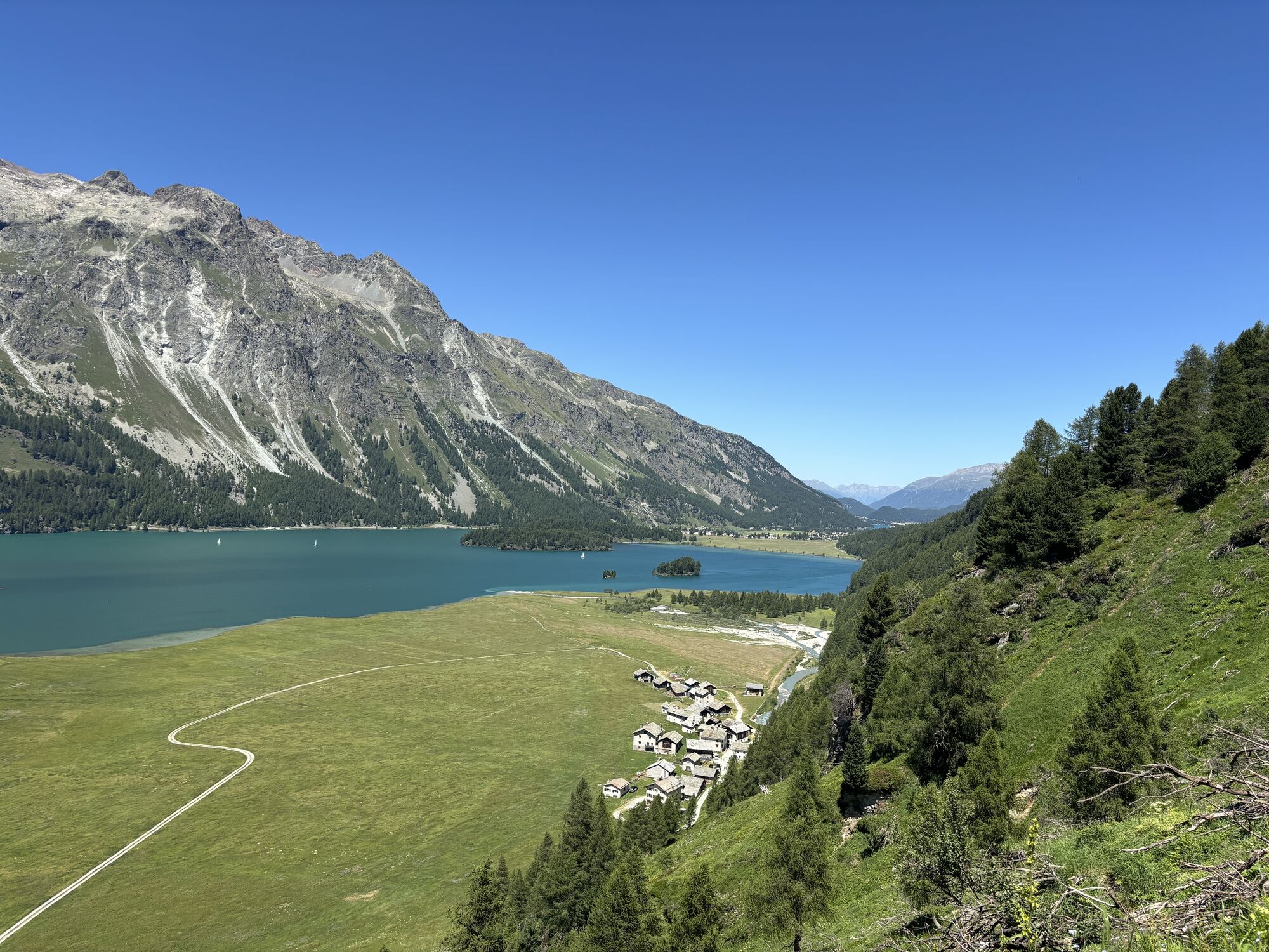
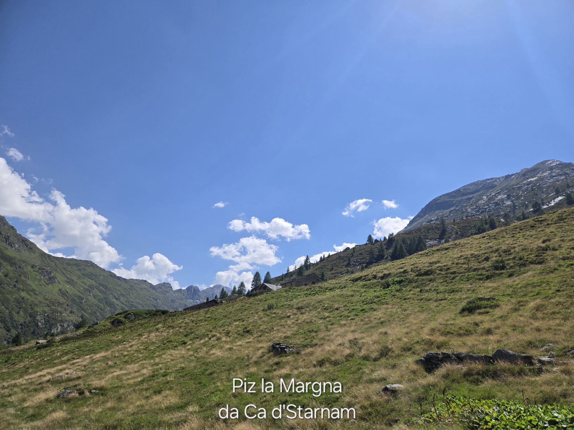
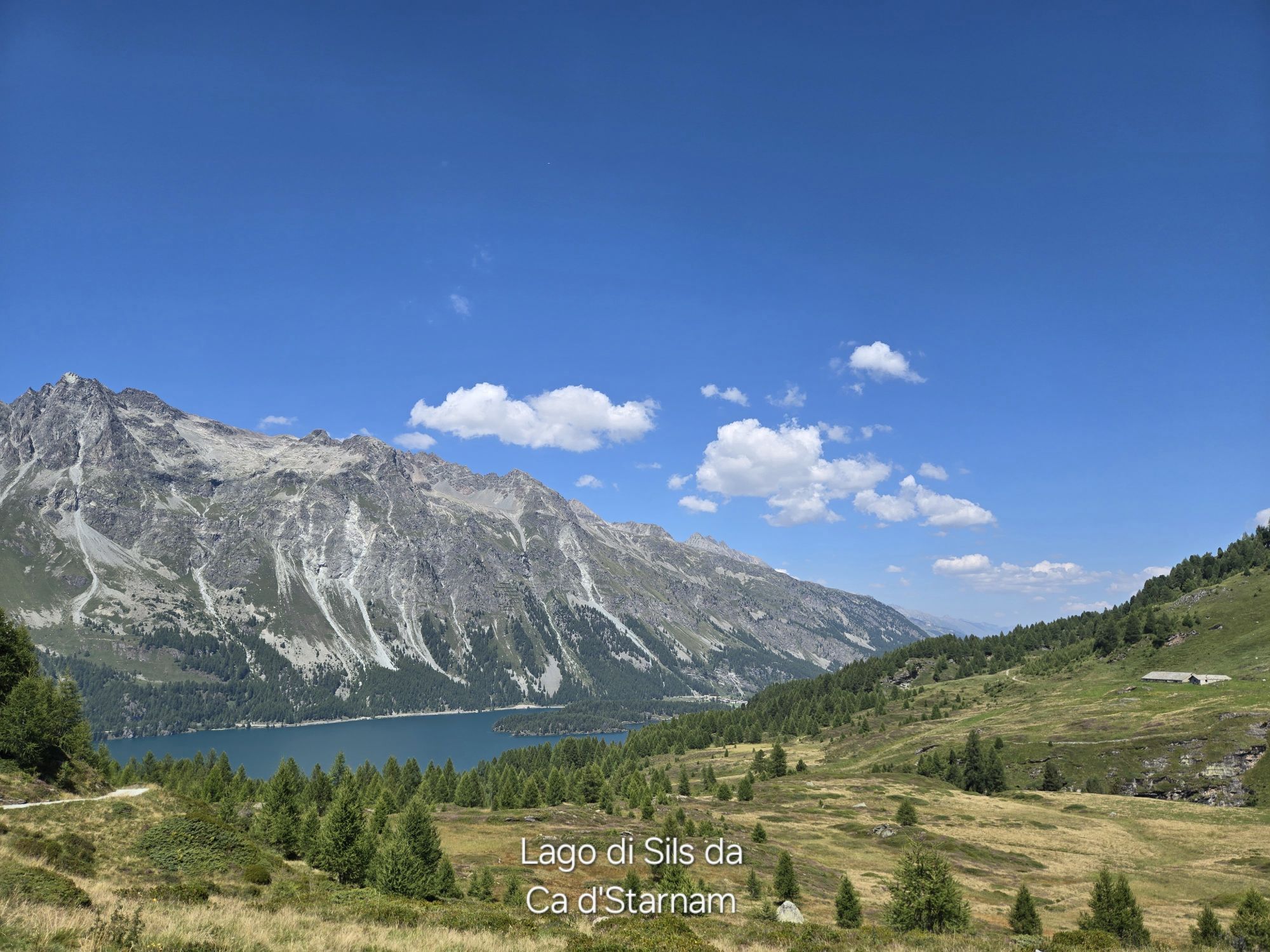
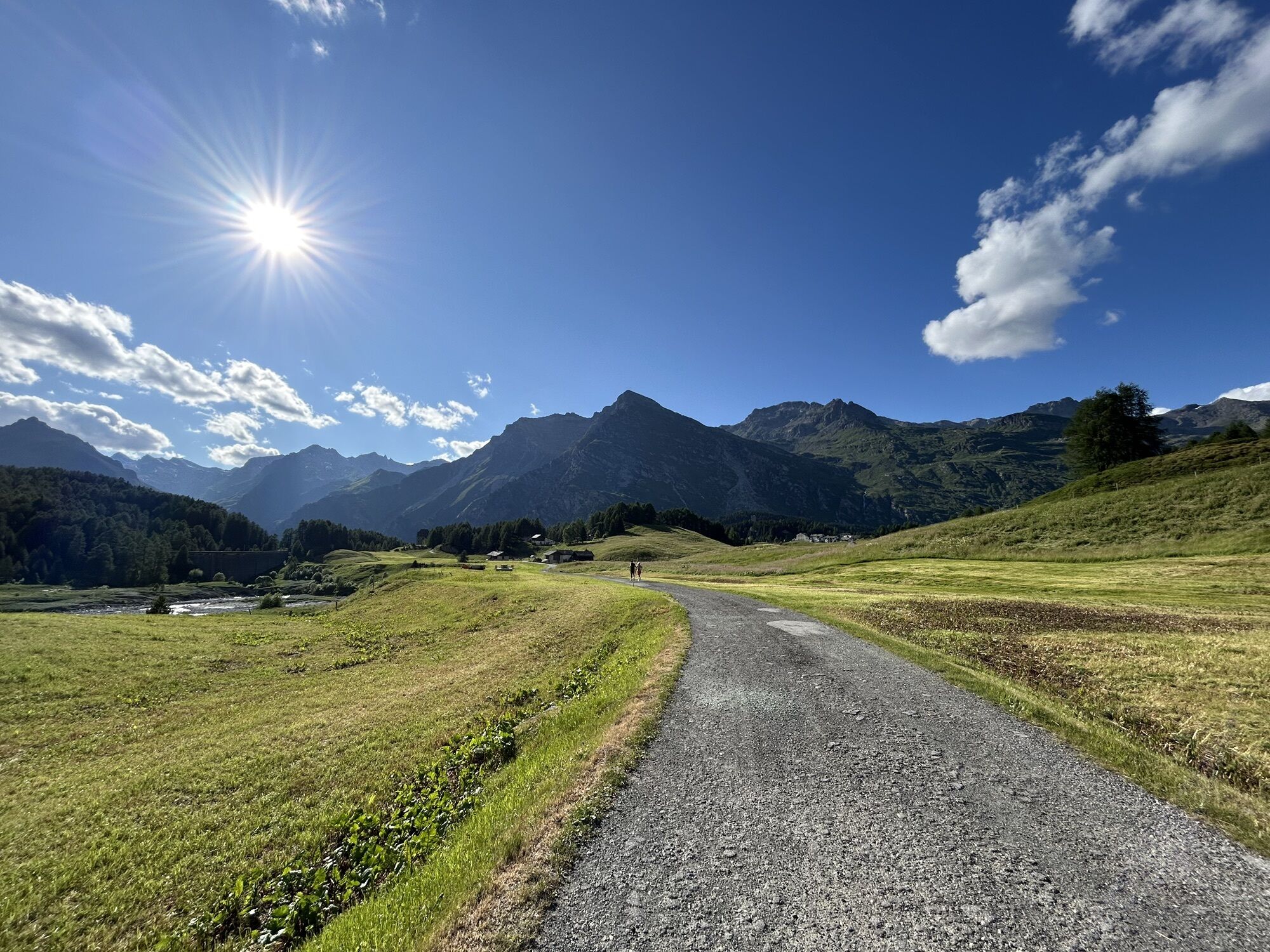
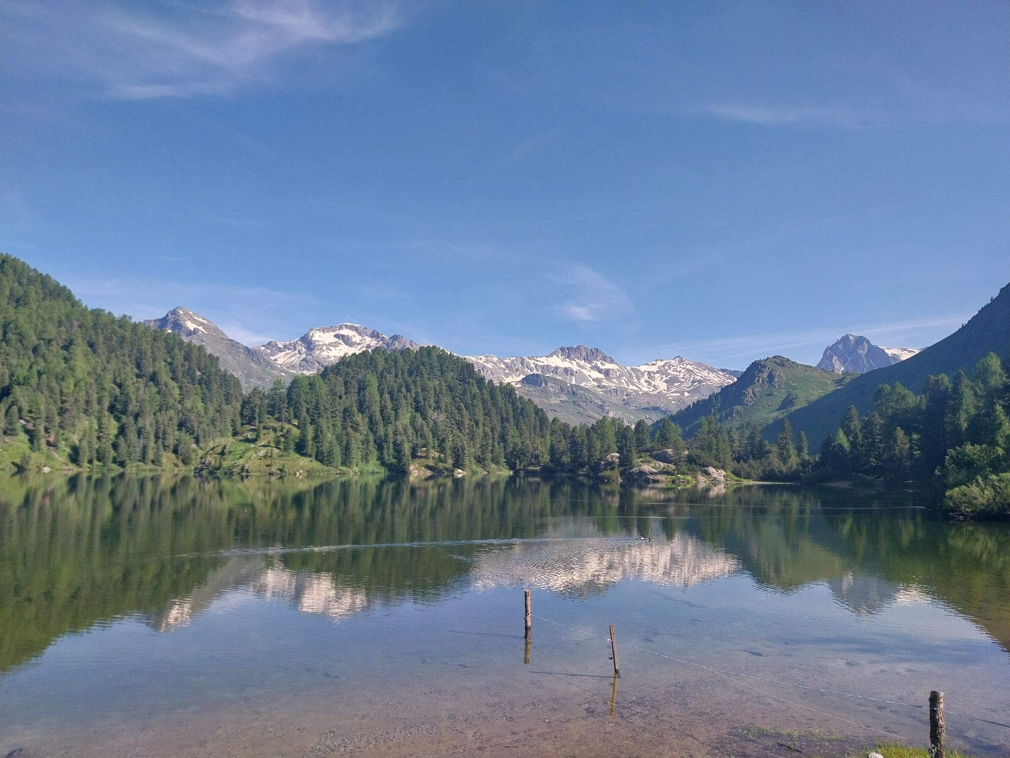
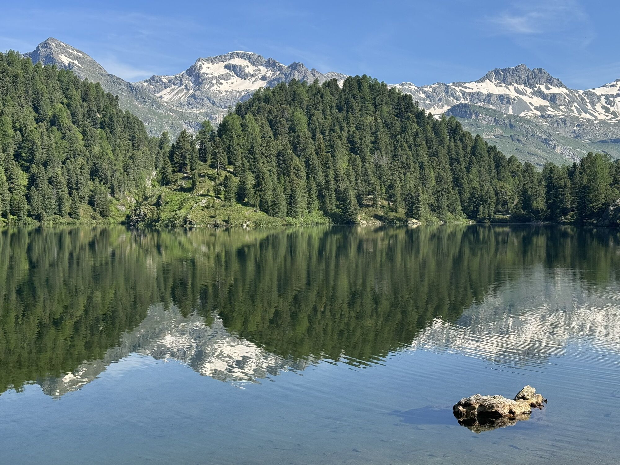
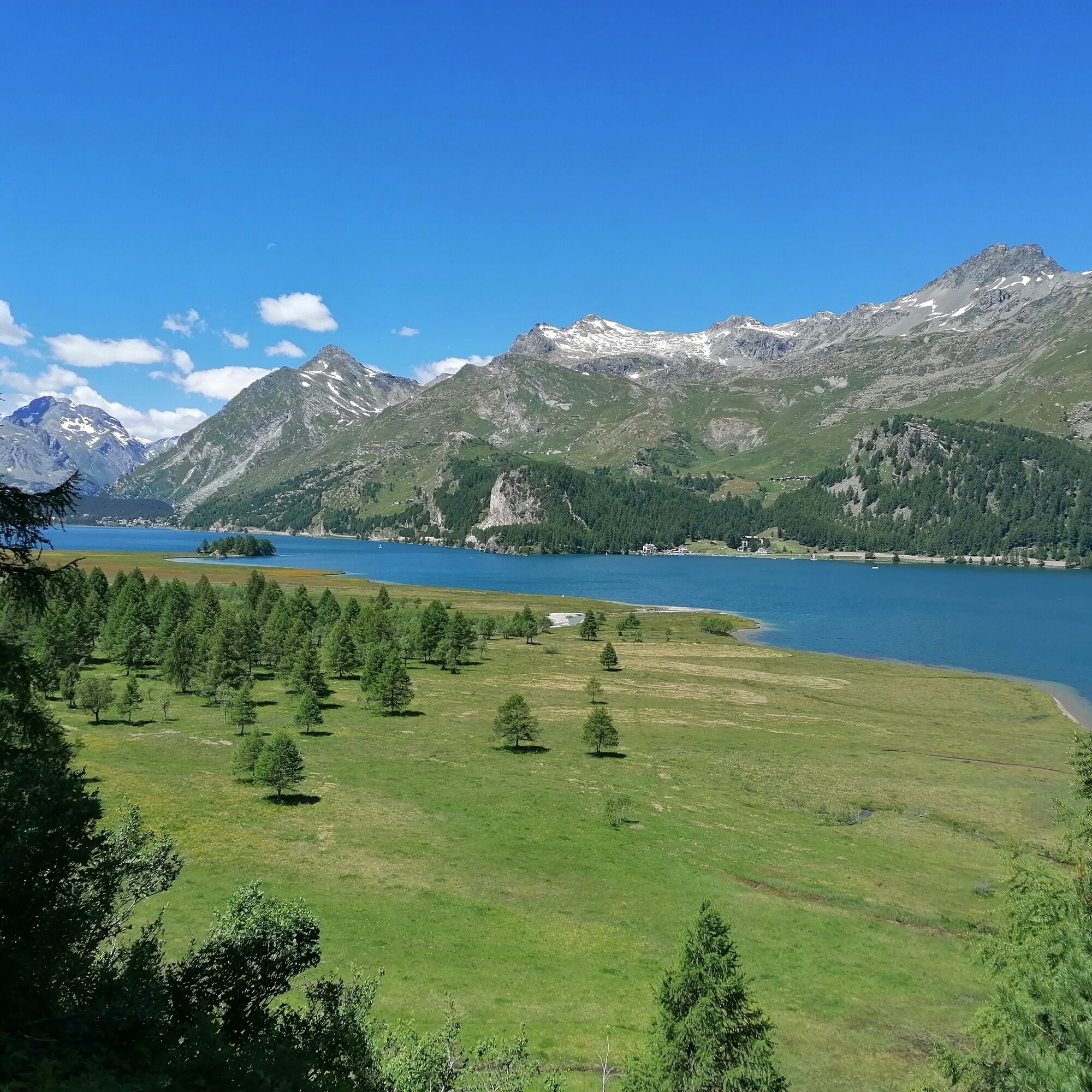
From the picturesque village square of Sils Maria, follow the carriage road uphill, passing the impressive historic Hotel Waldhaus. Here you'll also enter the front Fextal. In the Vaüglia valley basin, turn right towards Val Fedoz. The paved road ends here and from now on you cycle on a varied bike and hiking path. Through fragrant mountain forests and past flower-speckled alpine meadows, you reach the Alp Petpreir and Ca d'Starnam and descend to Plan Brüsciabräga, finding yourself on the shore of Silsersee.
Let the bike roll comfortably on the alpine road to the former smuggler village of Maloja. You pass through the mountain pass village to an observation platform with a magnificent view down to the winding pass road into Bergell. After a short stretch along the road, a left turn leads the way via Orden and Salecina to a bridge. Underneath rushes the Orlegna, a bubbling mountain stream from the Val Forno.
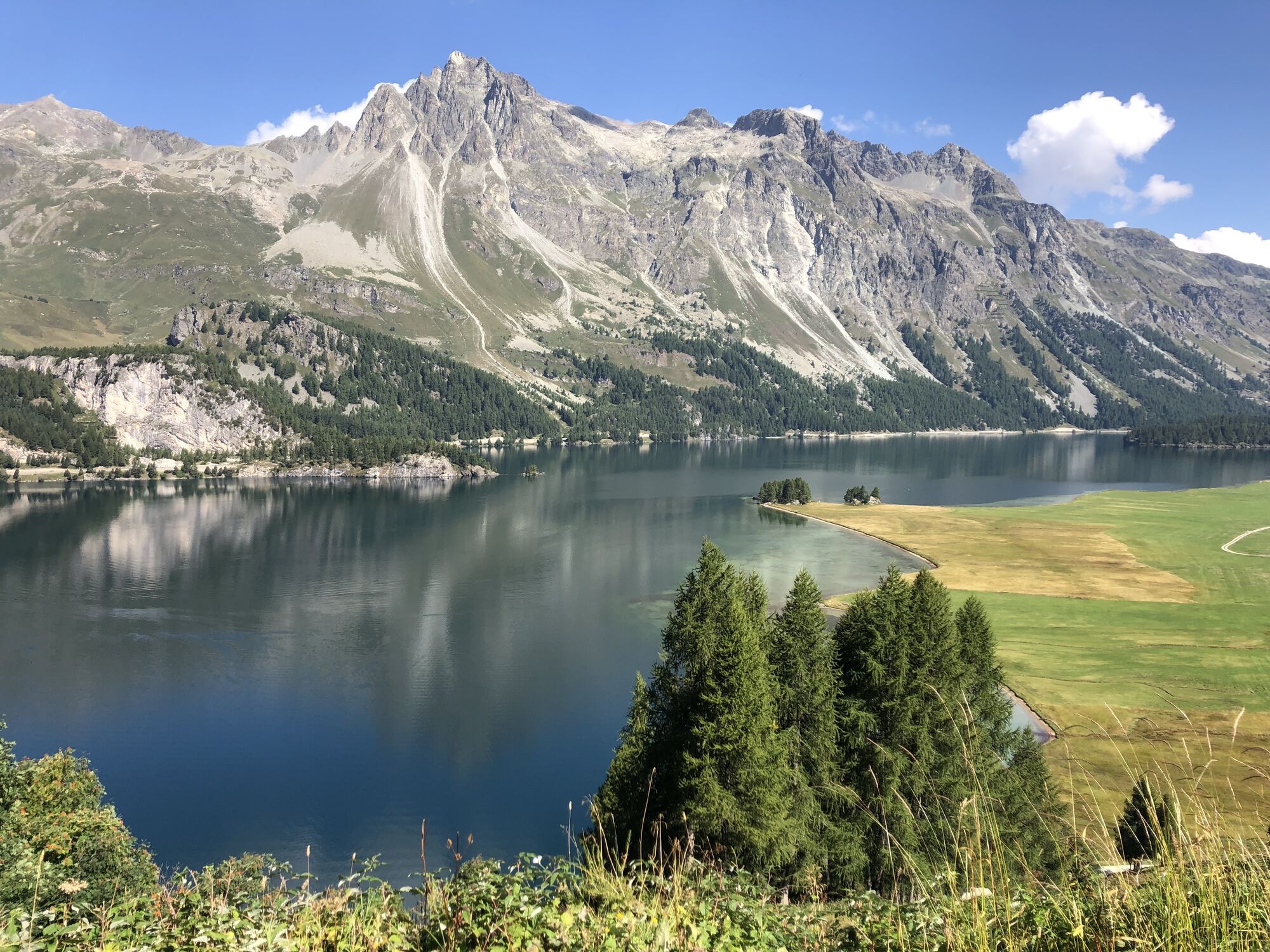
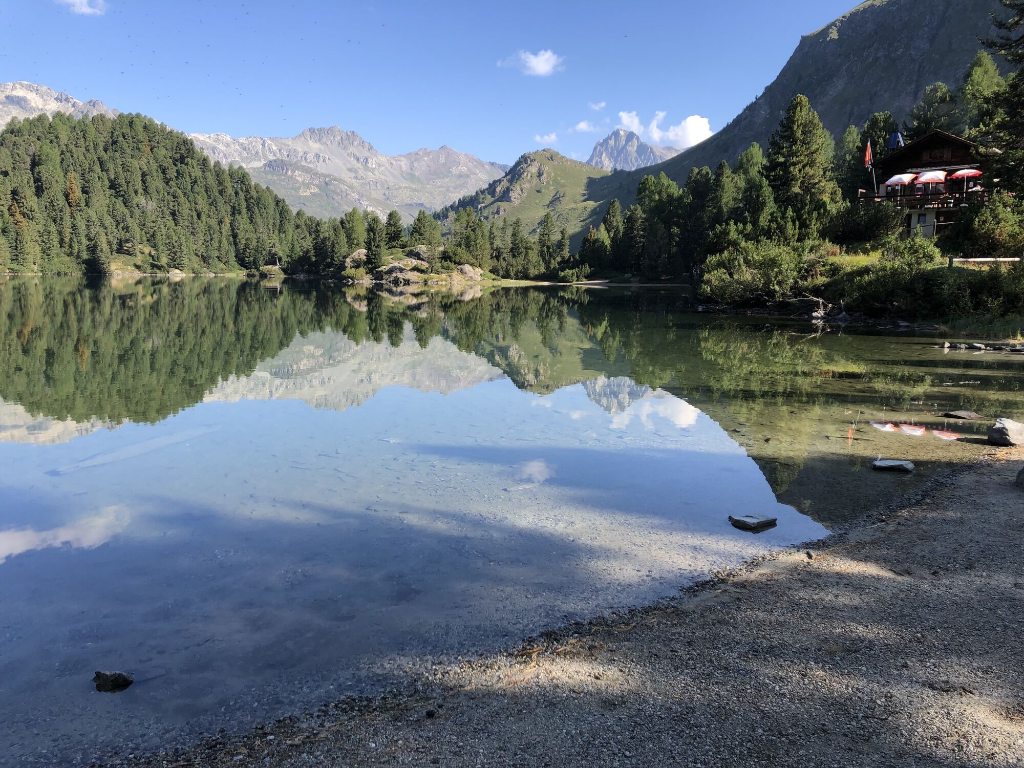
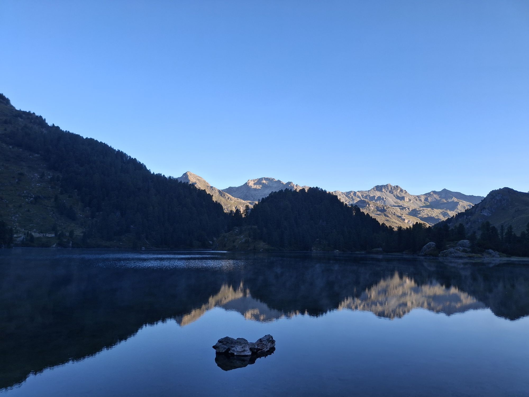
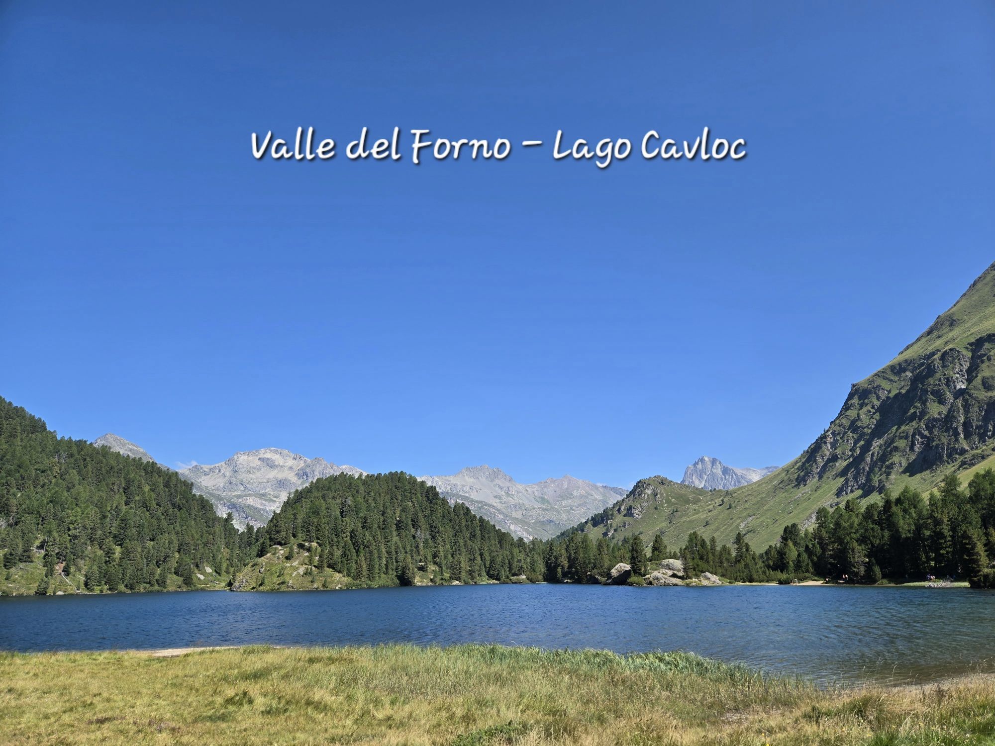
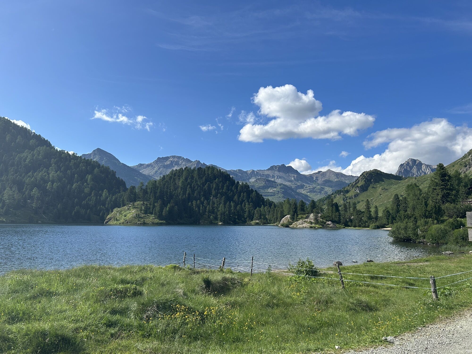
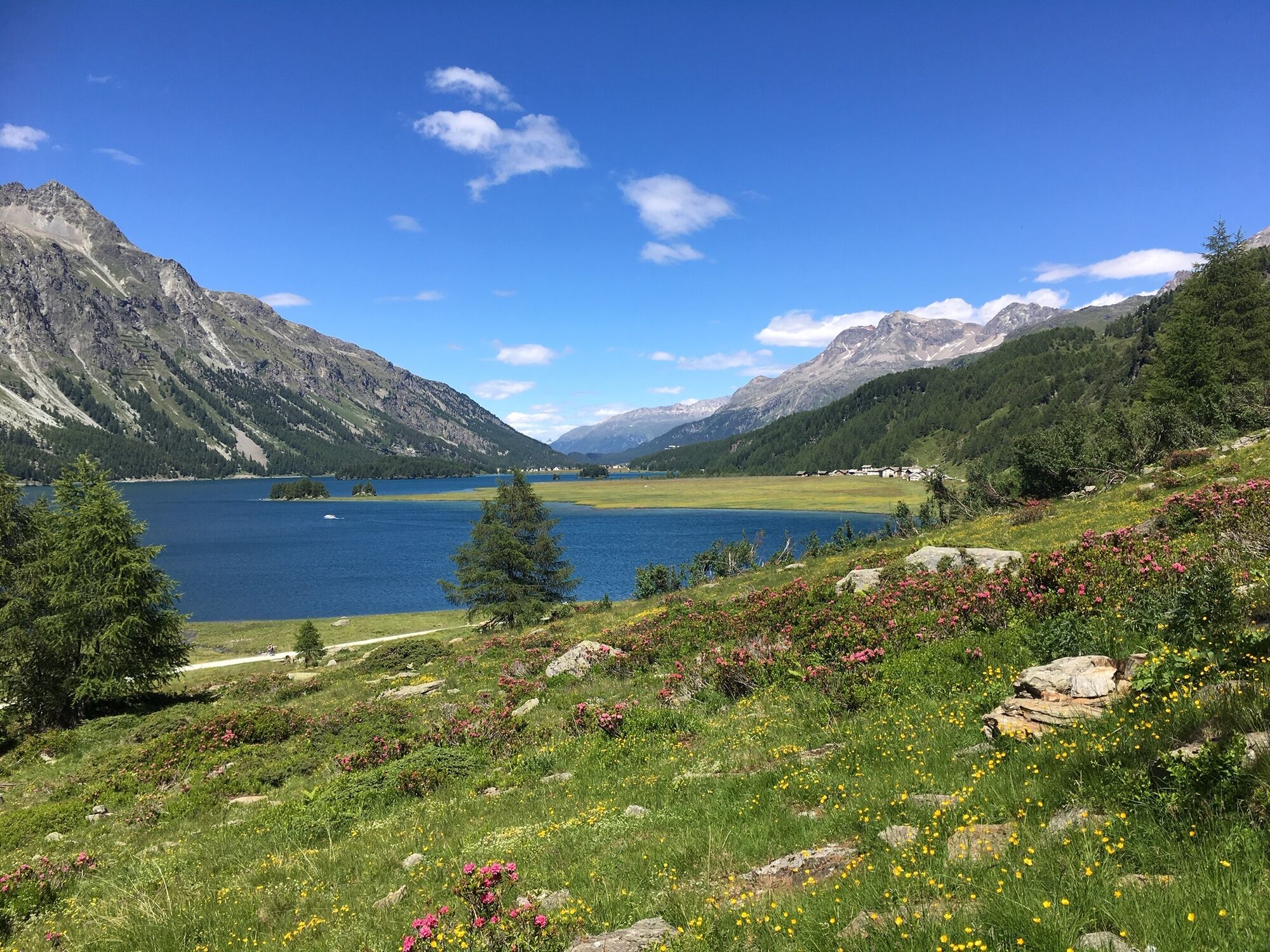
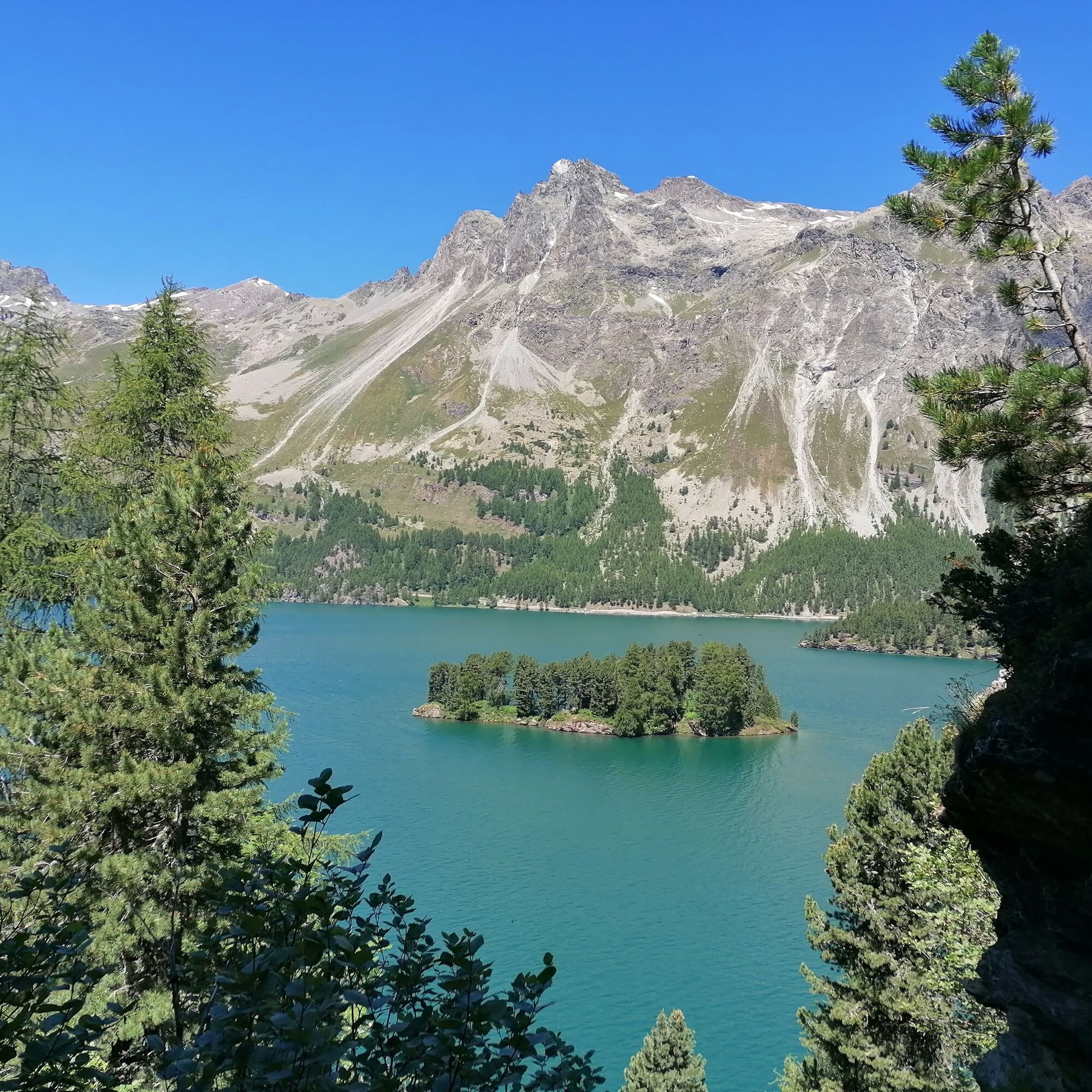
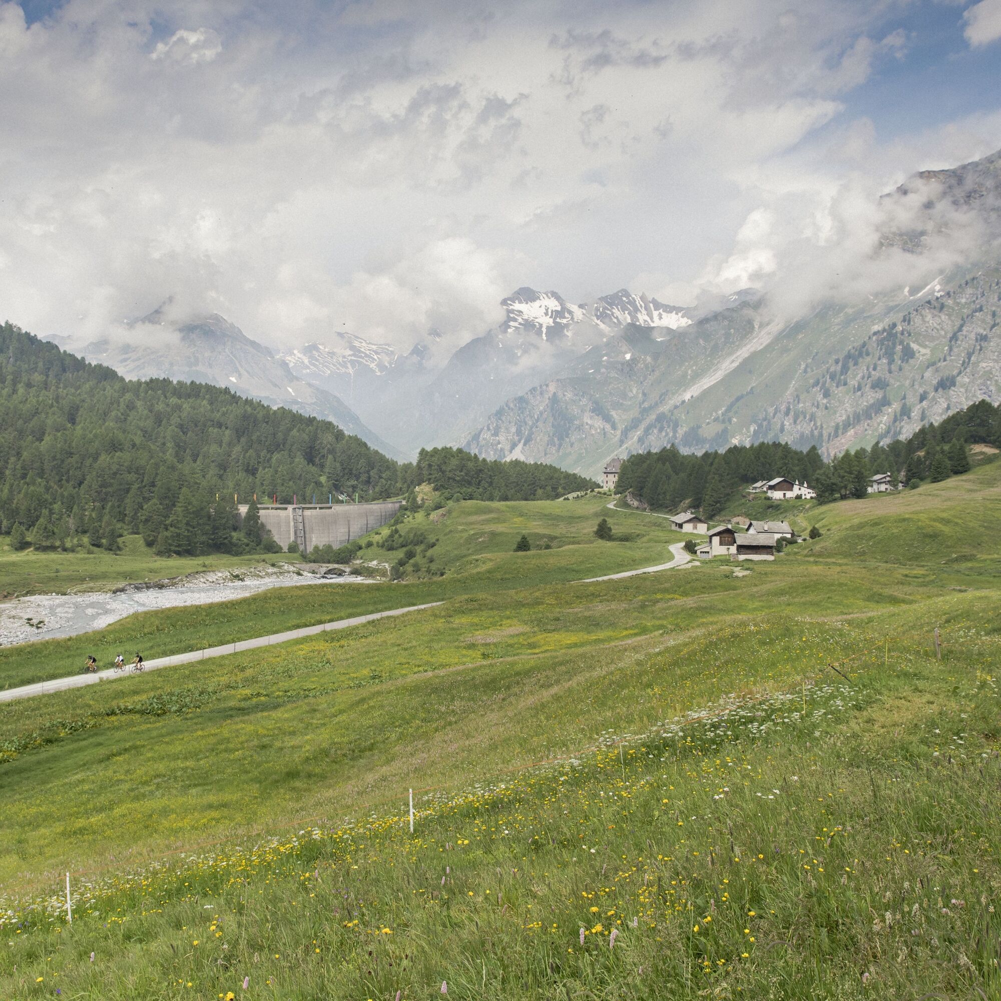
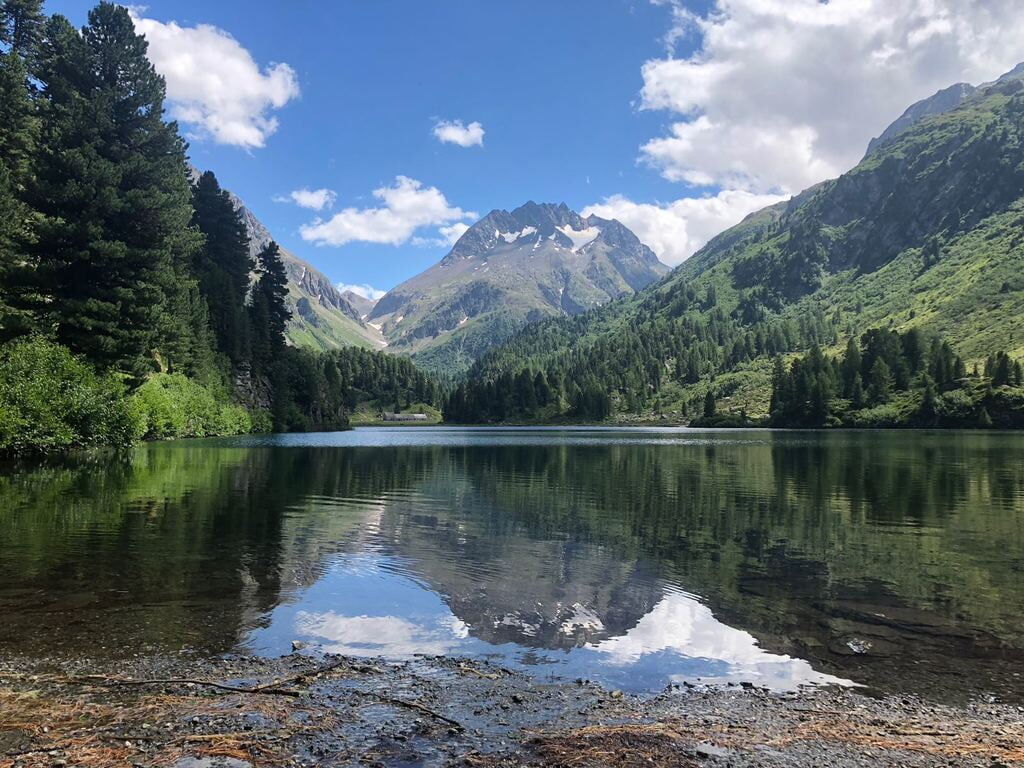
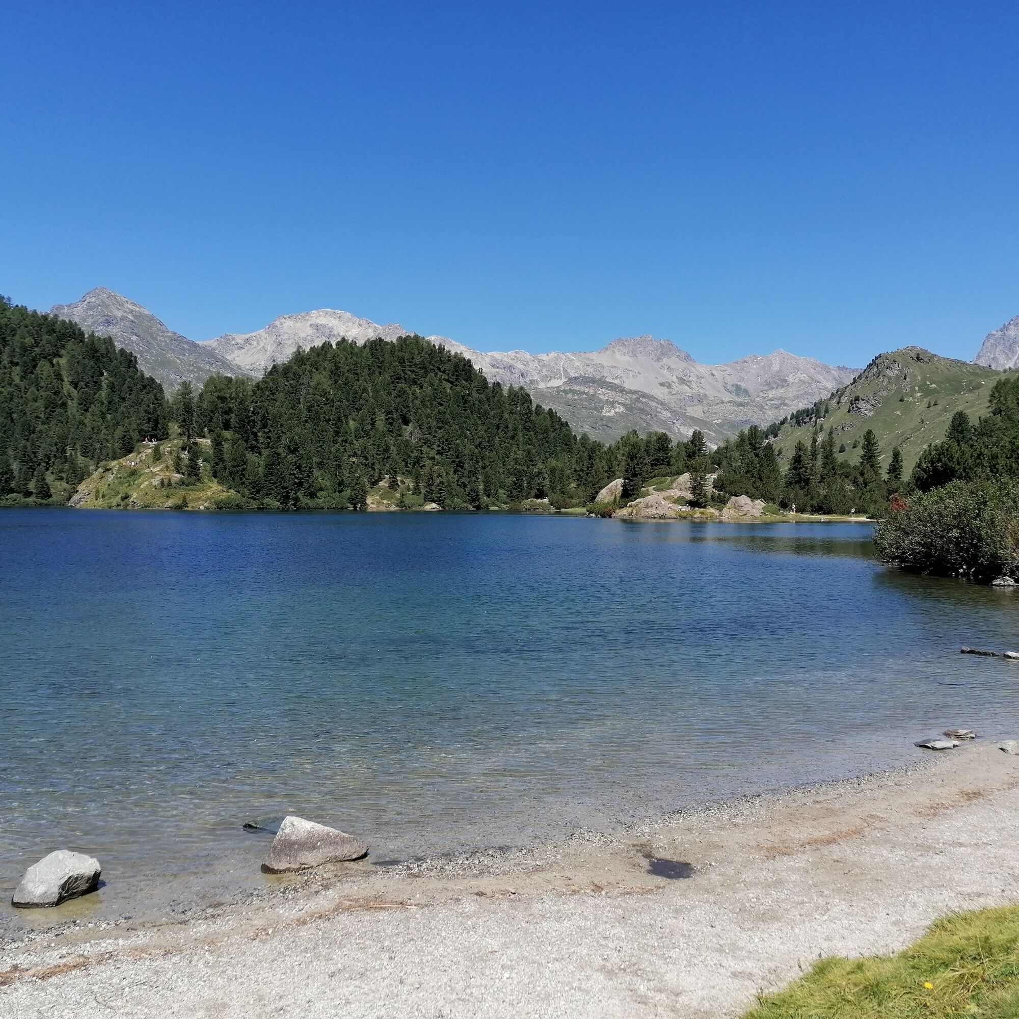
Here you can also admire a distinctive dam that serves as storm and flood protection for Bergell. After crossing the Orlegna bridge, the alpine road rises and leads through a mountain forest, past rocks and flowers to the enchanting Lägh da Cavloc.
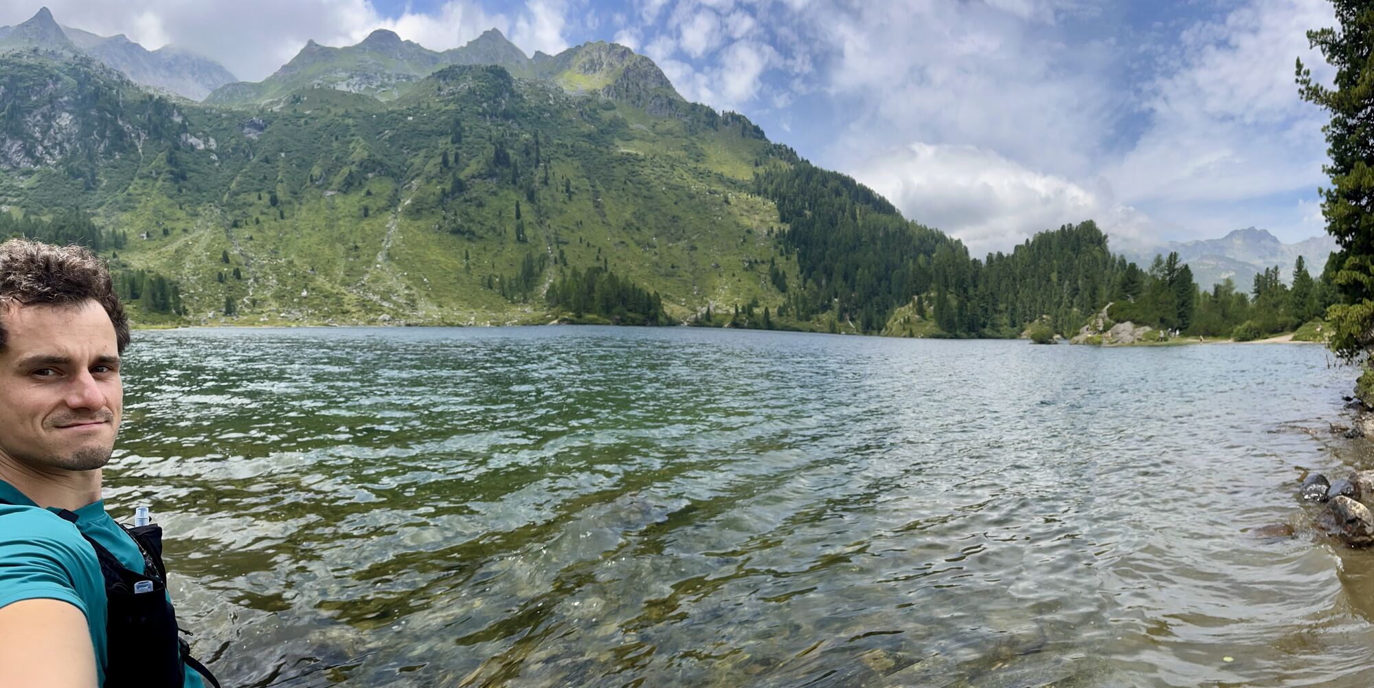
In high summer, this idyllic mountain lake invites you to a refreshing swim, and the fire pits on the shore to cozy picnics. From the terrace of the small mountain restaurant Cavloccio, you can wonderfully enjoy life while nature and panorama pamper spirit and soul.
If you want to bike further into the valley, you can ride past the goat alp to Plan Canin, where the valley forks. As a demanding alternative, you can cross the historic Murettopass into Italy to the neighboring Val Malenco.
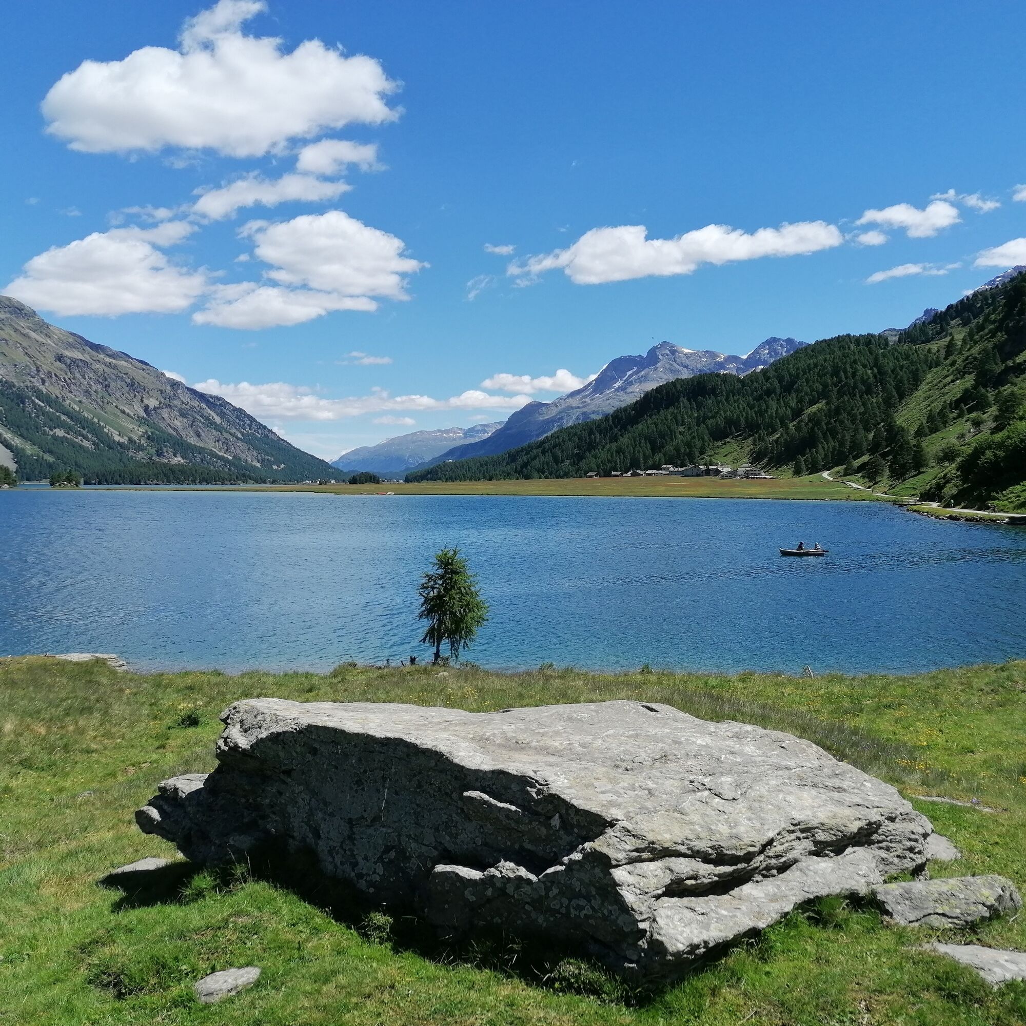
If you prefer to return from the crystal-clear Lägh da Cavloc to Sils, use the same route as on the way there. A great descent with a first-class view of Silsersee! The return trip is even easier for bikers who want to avoid the renewed ascent on the official bike route no. 1 to Val Fedoz; via Isola you also reach on hiking trail no. 25 high above Silsersee back to Sils.
Further information
Engadin St. Moritz Tourism AG
Via Maistra 1
CH-7500 St. Moritz
Phone: +41 81 830 00 01
E-Mail: allegra@engadin.ch
Internet: www.engadin.ch

Sils Maria - Alp Petpreir - Silsersee - Maloja - Lägh da Cavloc - Maloja - Silsersee - Alp Petpreir - Sils Maria
Tak
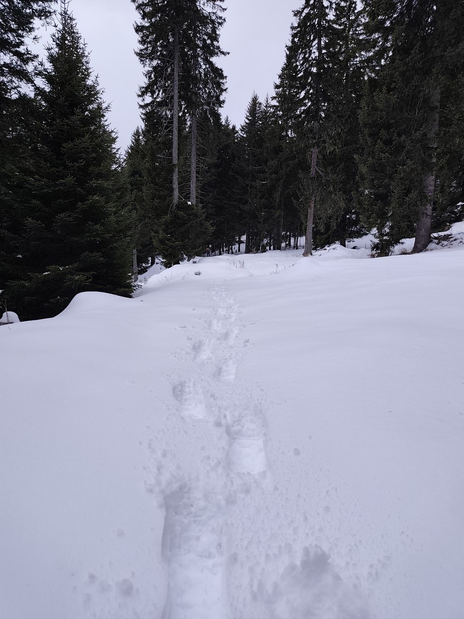
This route follows official hiking trails and alpine roads. Please be considerate and exercise caution. In certain areas, cattle and other grazing and alpine animals may be encountered.
Engadin - Sils Maria
Bus stop Sils/Segl Maria, Posta
Parking garage Sils/Segl Val Fex
See also
Sils Tourist Information
T +41 81 838 50 50
sils@estm.ch
www.sils.ch / www.engadin.ch
A detour to Isola is always worthwhile.
Very busy during the high season.
Kamery internetowe z trasy
-
Sils - Hotel Waldhaus
-
Silvaplana - Mittelstation Murtèl
-
Silvaplana - Mittelstation Murtèl
-
Silvaplana - Mittelstation Murtèl
-
Silvaplana - Mittelstation Murtèl
-
Silvaplana - Mittelstation Murtèl
-
Maloja Palace
-
Aela
-
Casaccia
-
Silvana - Alpetta Hütta
-
Alpetta Hütta, Corvatsch
-
Corvatsch - Hossa Bar
-
Silvaplana - Hossa Bar
Popularne wycieczki w okolicy
-
4,9
Maloja - Motta Salacina - Lägh da Cavloc - Maloja
średniWędrówka 10,3 km -
4,5
Pontresina - Val Roseg - Pontresina
światłoWędrówka 13,8 km -
4,7
SAC Tschierva
światłoWędrówka 24,7 km -
4,8
Around Lake St. Moritz
światłoWędrówka 4,32 km -
4,3
Val Roseg
średniWędrówka zimą 6,96 km -
4,0
Mittelstation Murtèl – Fuorcla Surlej – Val Roseg – Pontresina
średniWędrówka 23,5 km -
4,8
Corvatsch Murtèl - Fuorcla Surlej
średniWędrówka 4,52 km -
5,0
Maloja-Piz Lunghin-Pass Lunghin-See Lunghin- Blaunca- Maloja
średniWędrówka 15,5 km -
4,8
Val Roseg - Tschierva Hut
średniWędrówka 5,12 km -
4,6
Val Roseg
światłoTrailrunning 14,6 km
Wędrówki i tropienie


Nie przegap ofert i inspiracji na następne wakacje
Twój adres e-mail została dodana do listy mailingowej.