


Alp Glivers circular route
Poziom trudności: S2
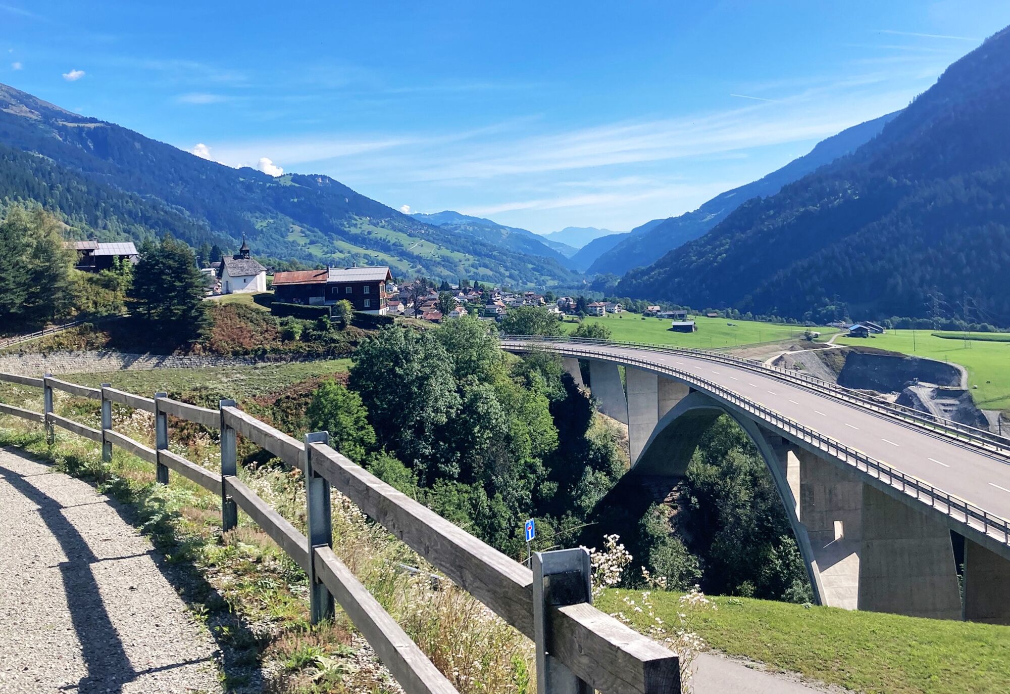
From Rabius, you ride down the old natural road to Surrein. You cross the Rhine and reach the quiet village of Surrein. You pass through the village along the valley floor towards Disentis. At the junction...
From Rabius, you ride down the old natural road to Surrein. You cross the Rhine and reach the quiet village of Surrein. You pass through the village along the valley floor towards Disentis. At the junction Cumpadials/Val Sumvitg, you turn right, cross the Rhine a second time, and reach Cumpadials. Then take the right turn on the side road to Sumvitg. Upon arrival in Sumvitg, cross the main road and continue on the side road towards S.Benedetg/Clavadi uphill.
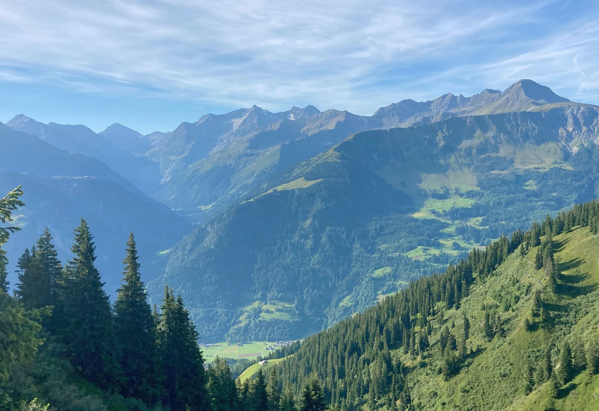
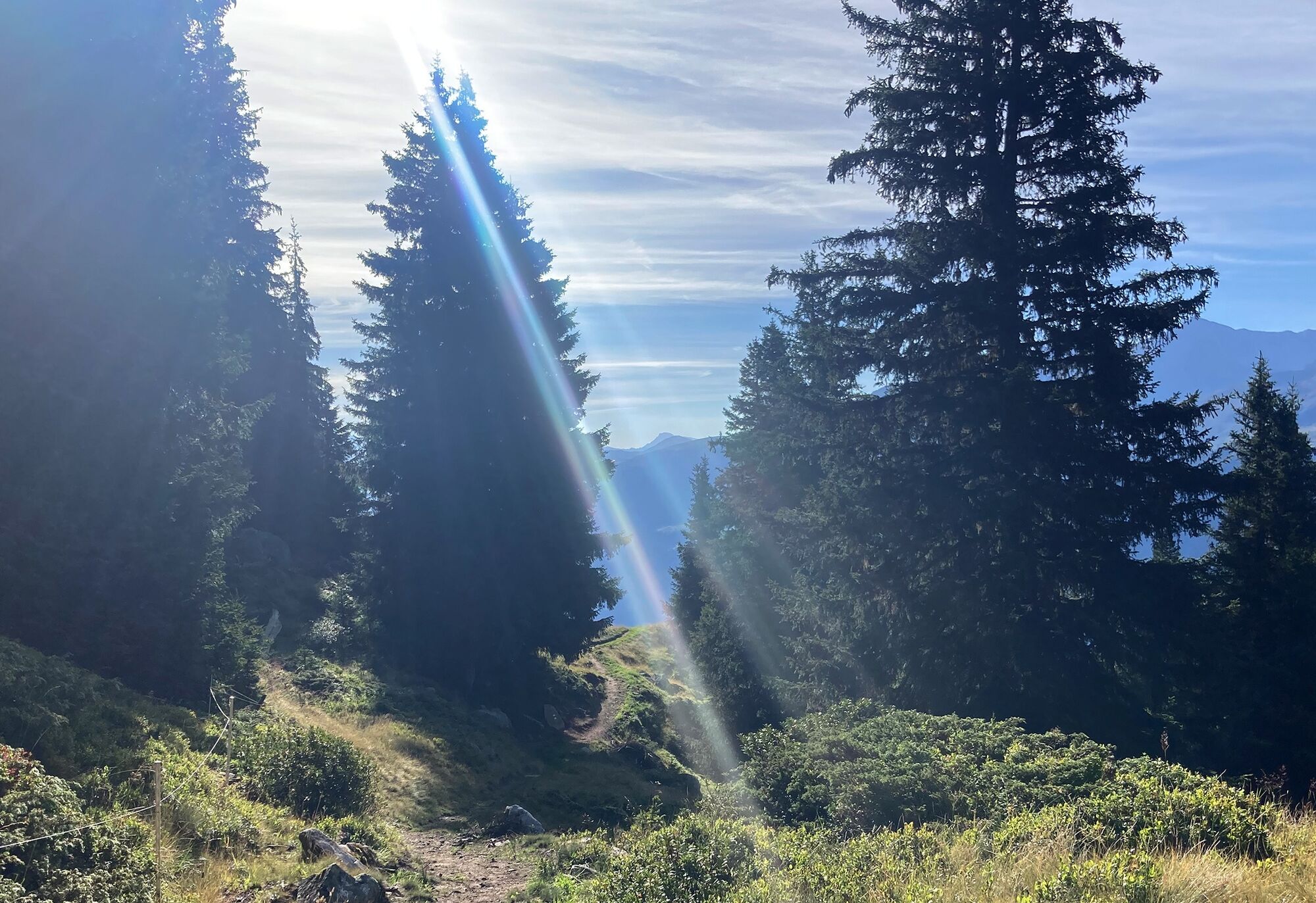
At the next junction, continue on the paved road to the sunny hamlet of Clavadi. From here the route leads on a natural road uphill through the alpine pasture of Salvaplauna to Crest Ault at 1657 m a.s.l. From here, a zigzag route continues through the "Uaul dils Brens" to the tree line and on to the "Rusna S. Gions" in the Val Murtès.
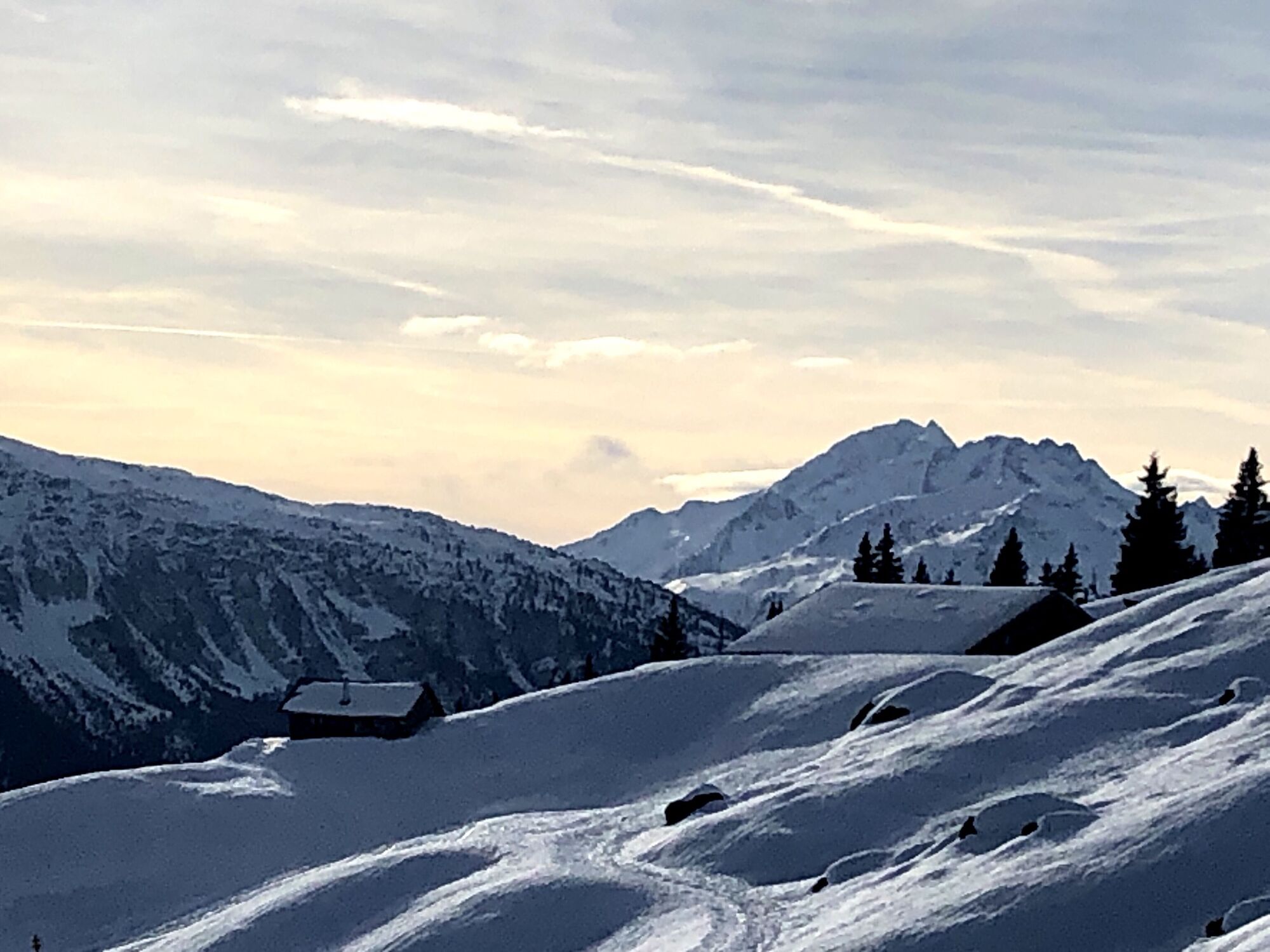
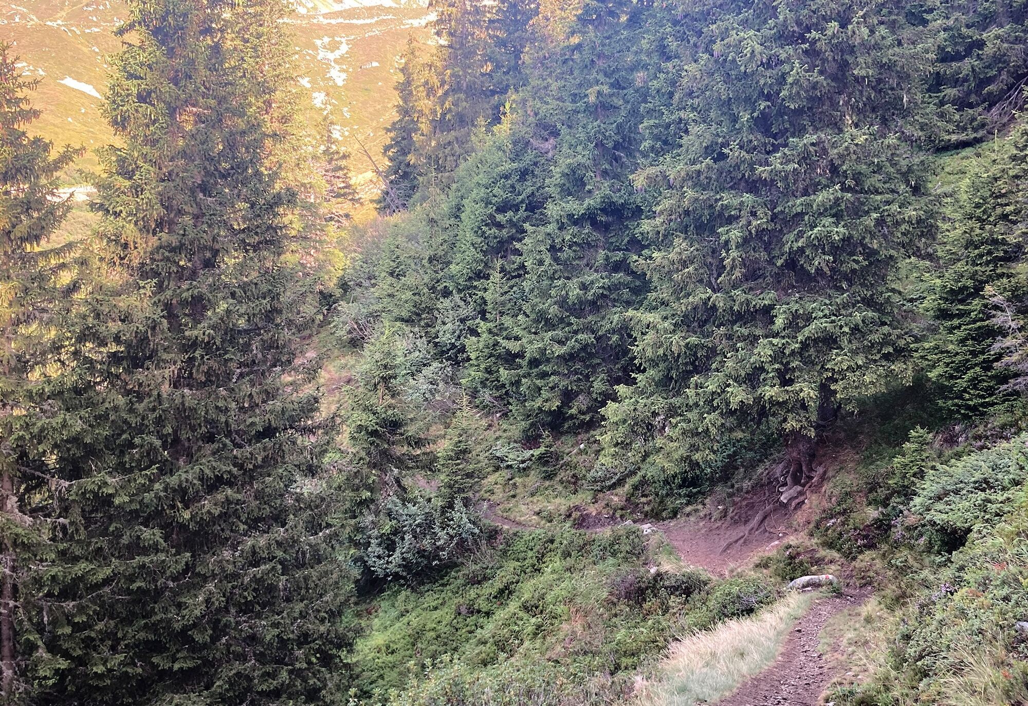
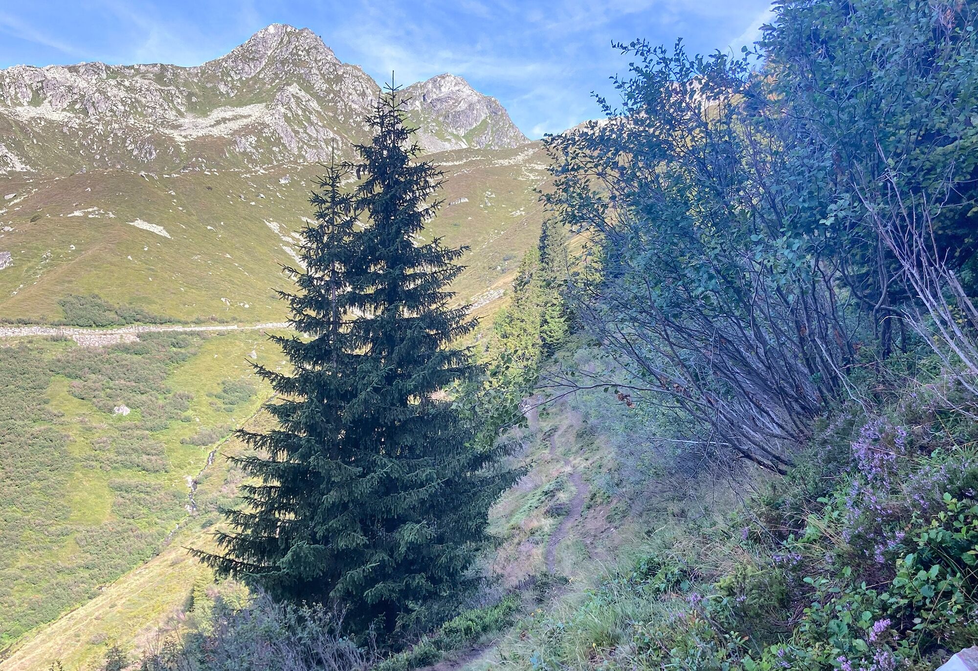
Well done! You have reached the highest point of the route at 1976 m a.s.l. Here a singletrail runs along the valley flank to Alp Glivers Dadens. This trail section is partly narrow and demanding. It was optimized for bikers by the Lions Club Surselva in 2022/23. Nevertheless, caution is advised, and at some spots it is recommended to walk a few meters. Soon you reach the mountain hut Stalla Alp Glivers. From here, a natural road leads you to Alp Dado Sut. Now you can look forward to about 800 meters of descent. The downhill leads diversely over singletrails, wider trails, and small roads down to the alpine pastures of Tschèps, through the Val S. Benedetg to the hamlet Siltginas and then down to Plaun da Crusch at 1248 m a.s.l. On a side road, you reach Sumvitg. The return trip to Rabius, the starting point of the route, is not far now.
The route can also be done in the reverse direction via Sumvitg to Plaun da Crusch (before S. Benedetg) to the alpine pastures of Tschèps to Alp Glivers Dado Sut.
Sumvitg - Val Sogn Benedetg - Alp Glivers - Clavadi - Sumvitg
MTB, helmet, bike gloves, bike shoes, glasses, rain and sun protection, drink, repair kit, first aid kit.
In uncertain weather conditions, the route should not be undertaken. Weather changes in the mountains are frequent. If a rain front or similar develops during the route, you should turn back in time.
Respect other trail users - trail tolerance!
Take the A13 to Reichenau, then the main road 19 via Flims to Ilanz and on to Sumvitg.
From the canton capital of Grisons, Chur, take the Rhaetian Railway through the spectacular Rhine Gorge to Ilanz and further to Sumvitg/Cumpadials.
Parking available at the municipal administration in Sumvitg or at Rabius train station.
S2
Surselva Tourism AG
Bahnhofstrasse 25
CH-7130 Ilanz
Tel.: 0041 81 920 11 00
Email: ilanz@surselva.info
Internet: www.surselva.info
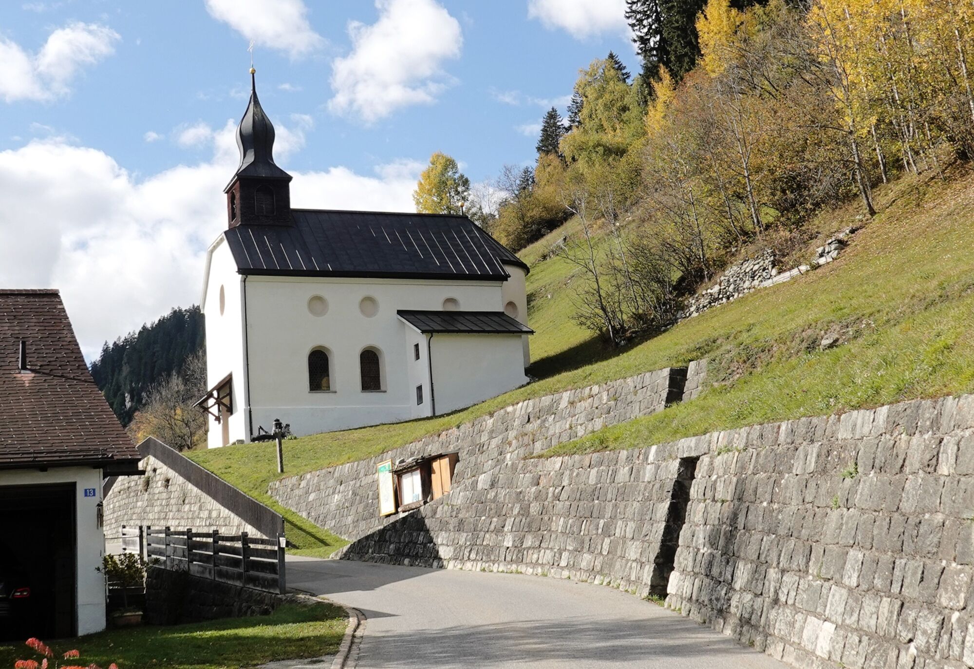
Stop at Ustria Miraval near Plaun da Crusch (please note opening hours) or Chapel s. Benedetg nearby.
The route is suitable for e-MTB.
Popularne wycieczki w okolicy
- 5,0
High valley Val Frisal
ciężkiWędrówka 12,4 km Rueras - Hexensee - Rueras
średniWędrówka 9,71 km- 1,0
Wasserfälle Bauns bei Sedrun
światłoWędrówka 3,45 km Sedrun - Segnas - Disentis
światłoWędrówka 9,77 kmSedrun - Alp Caschlé - Hexenplatte - Sedrun
średniWędrówka 13,3 km- 5,0
2-day hike Greina high plateau
średniWędrówka 14,9 km - 4,5
Around the Grep da Plaids
średniWędrówka 8,05 km - 5,0
Disentis - Cavardiras - Cupadials - Sumvitg
światłoWędrówka 13,7 km - 5,0
Breil/Brigels - Val Frisal Rundwanderung
średniWędrówka 20,8 km Wanderung Chrüzlipass und Mittelplatte
średniWędrówka 29,9 km

Wędrówki i tropienie


Nie przegap ofert i inspiracji na następne wakacje
Twój adres e-mail została dodana do listy mailingowej.