


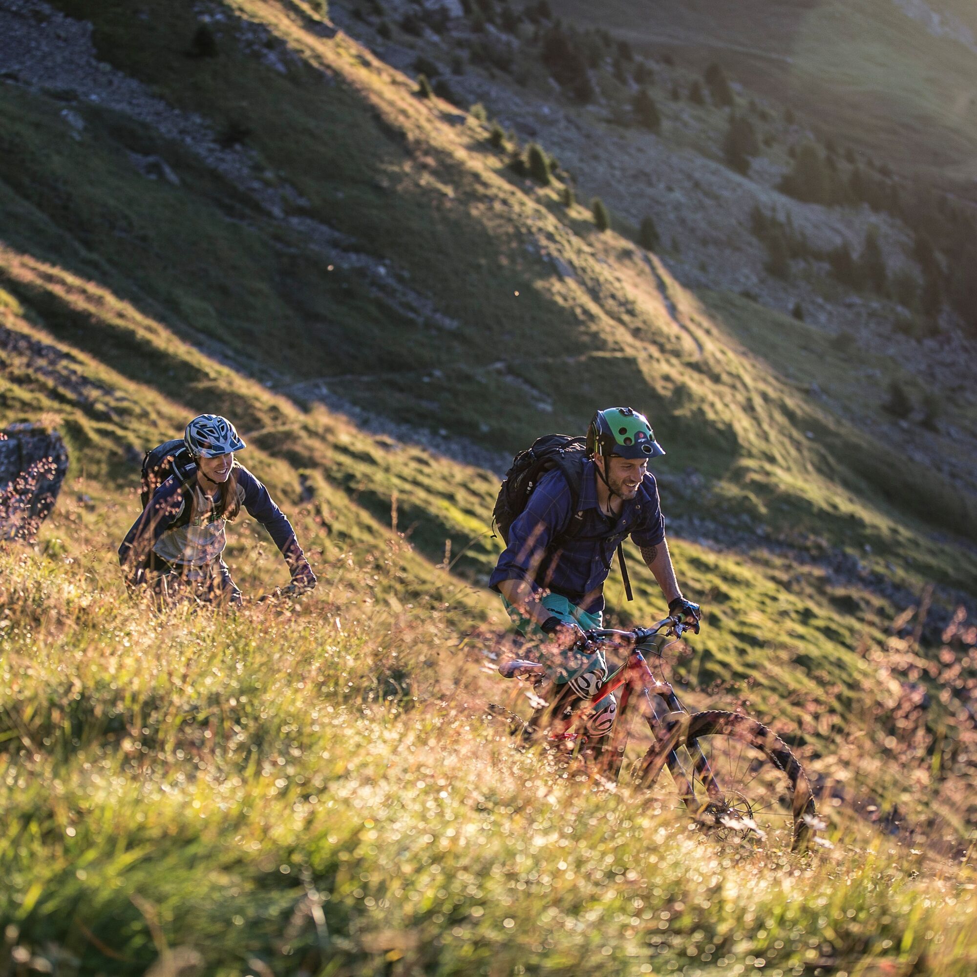
Uina-Bernina Bike Route
Poziom trudności: S3
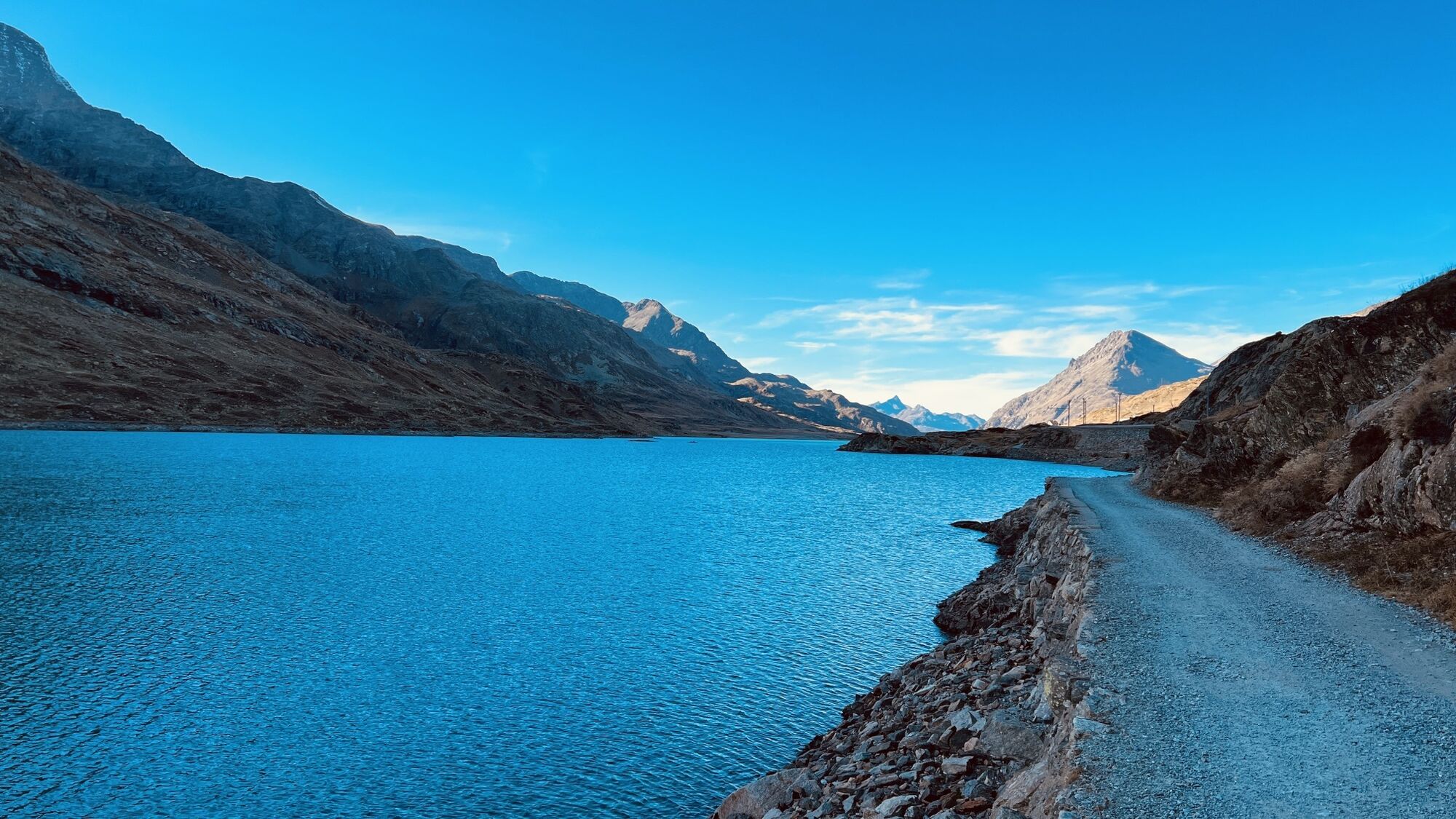
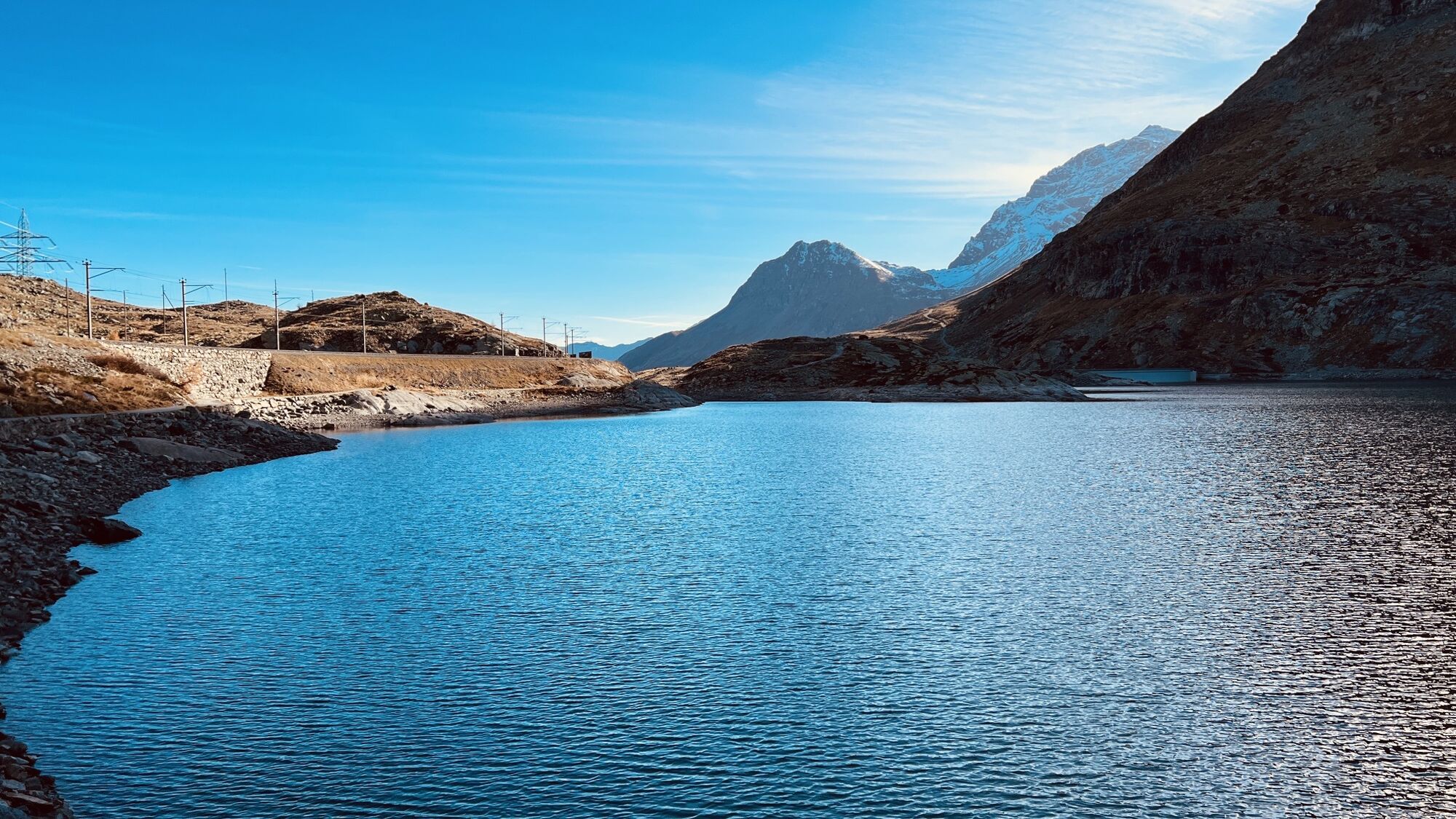
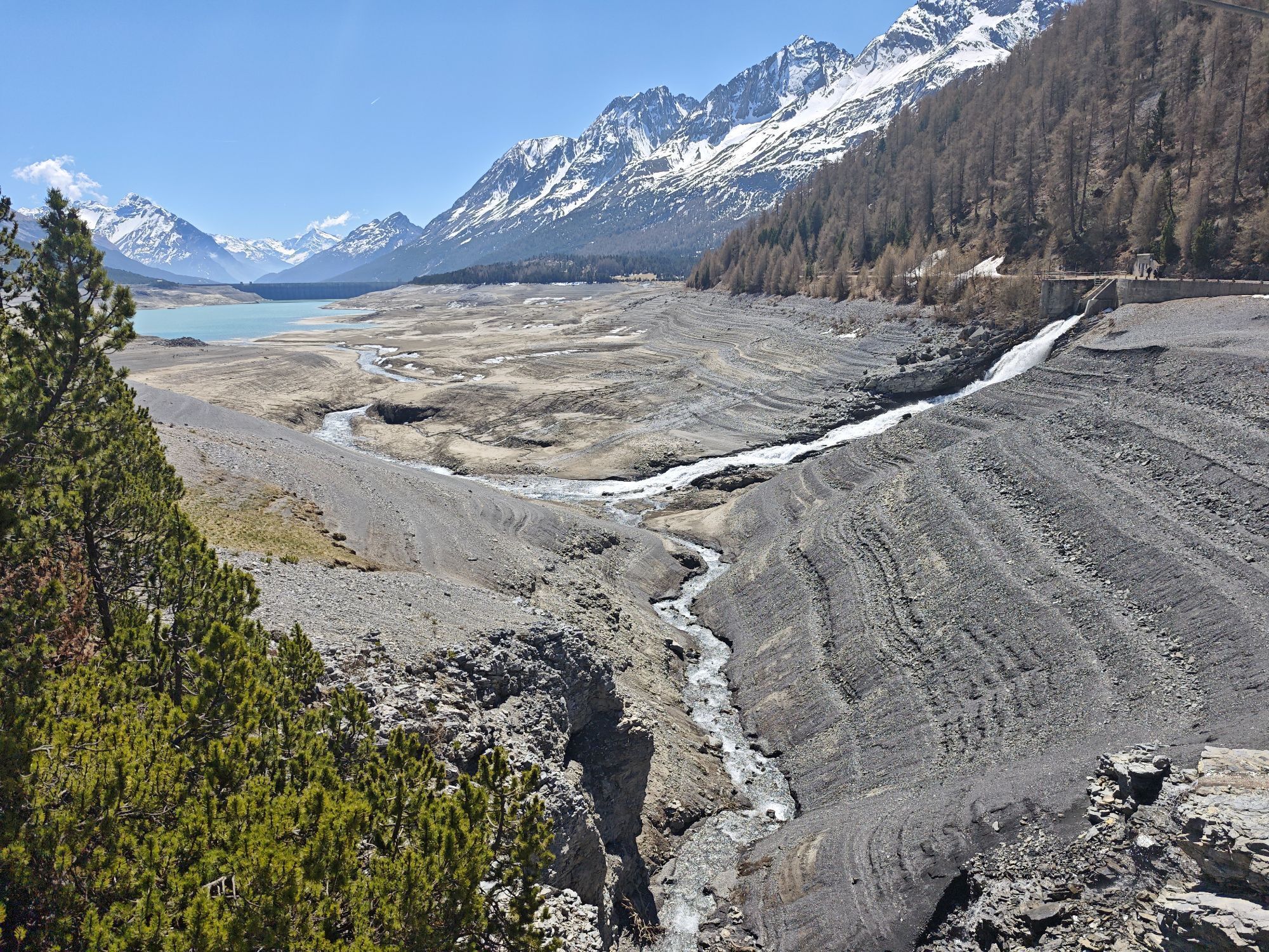
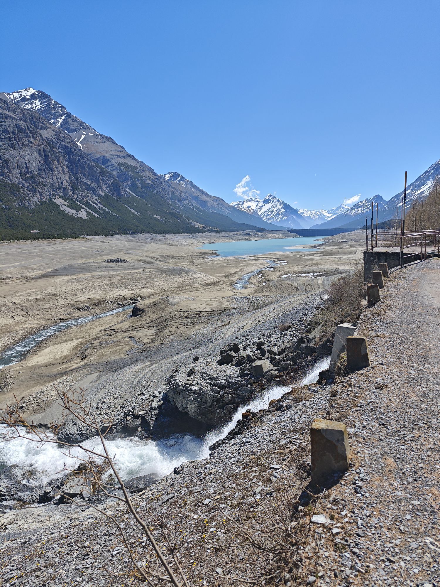
Zdjęcia naszych użytkowników
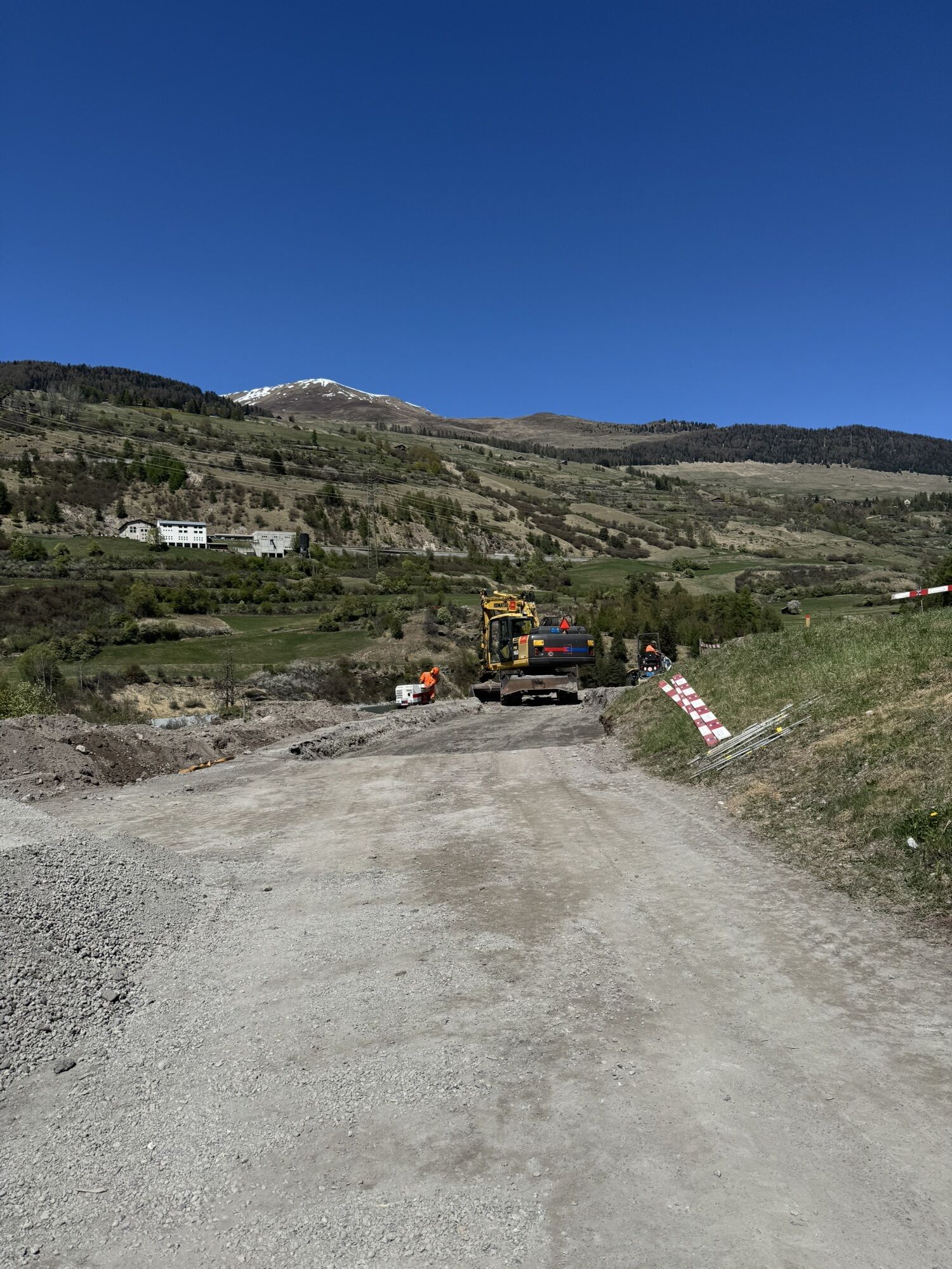
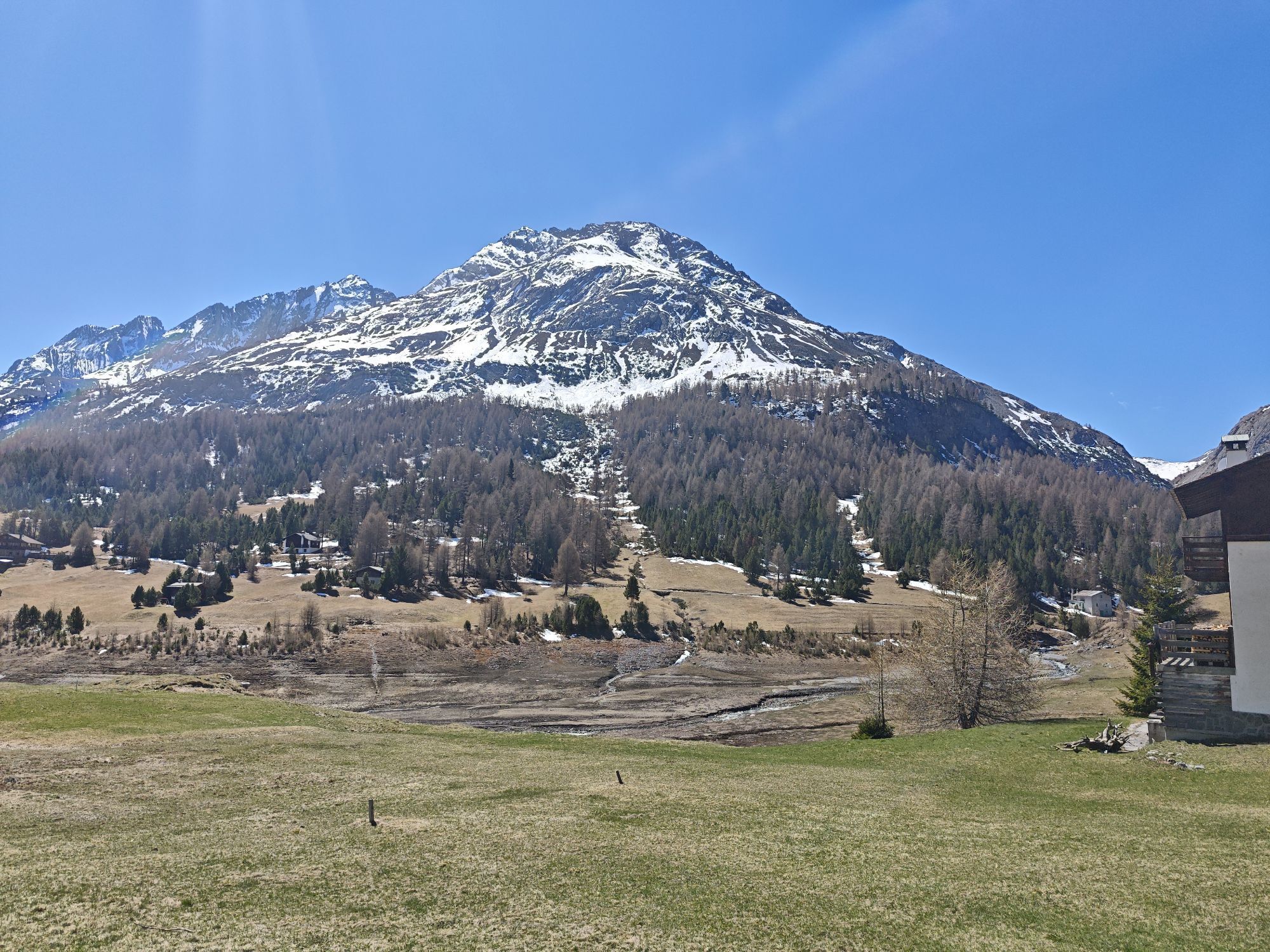
 © Birgit StroblUtworzono dnia 01.05.2026
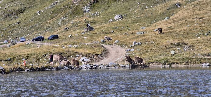
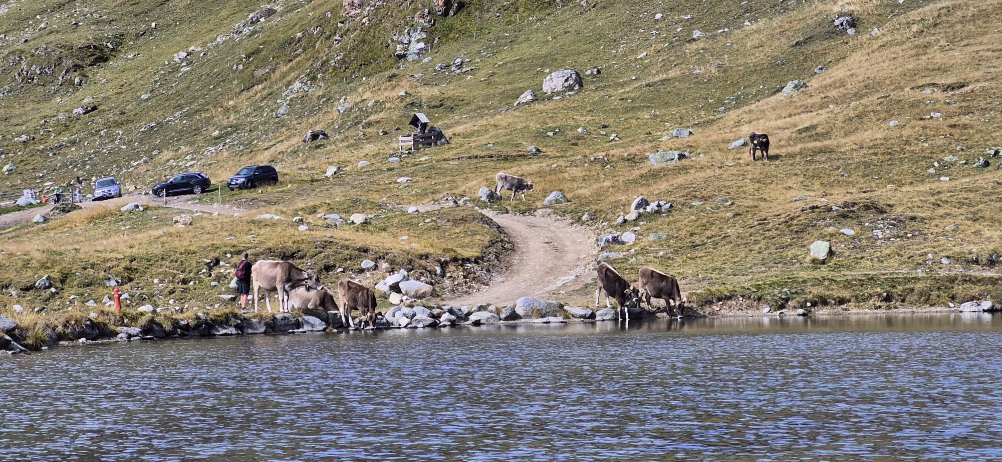
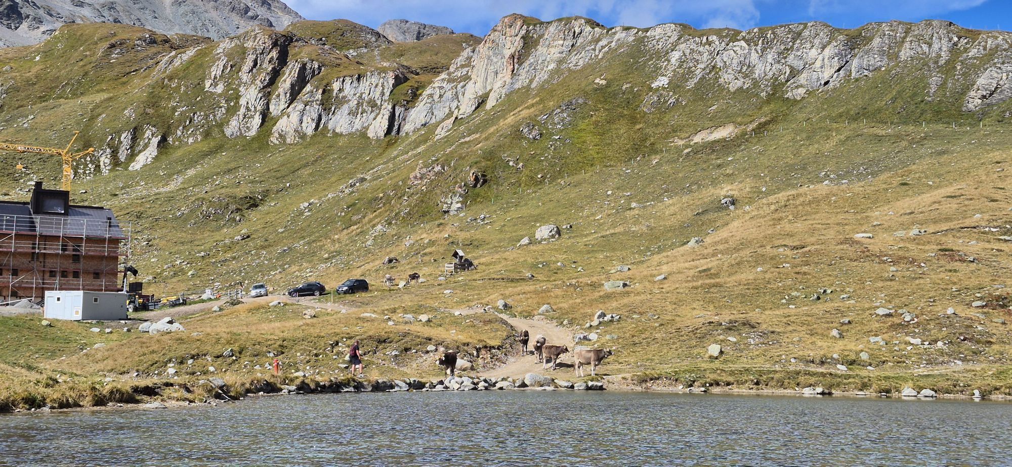
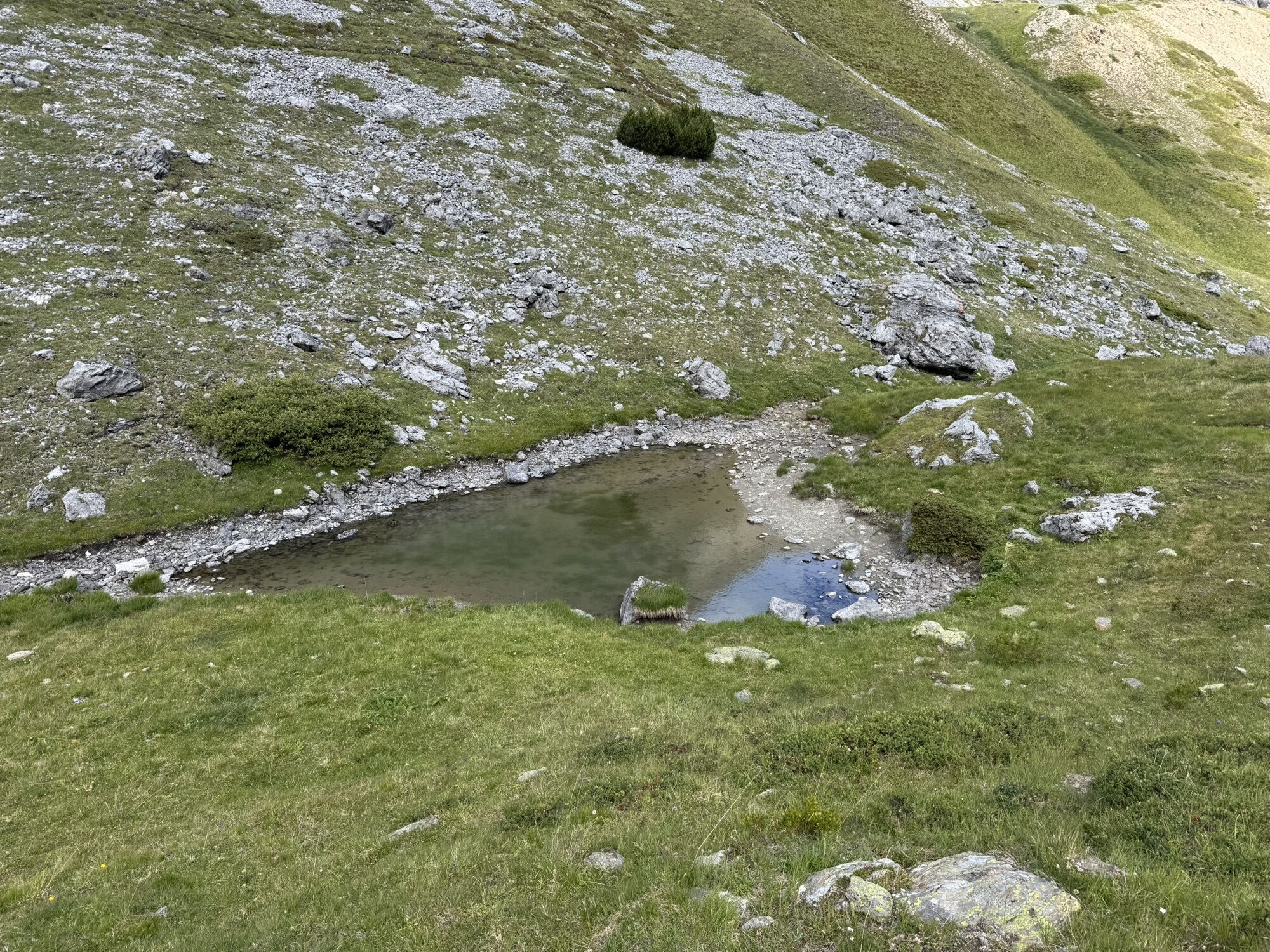
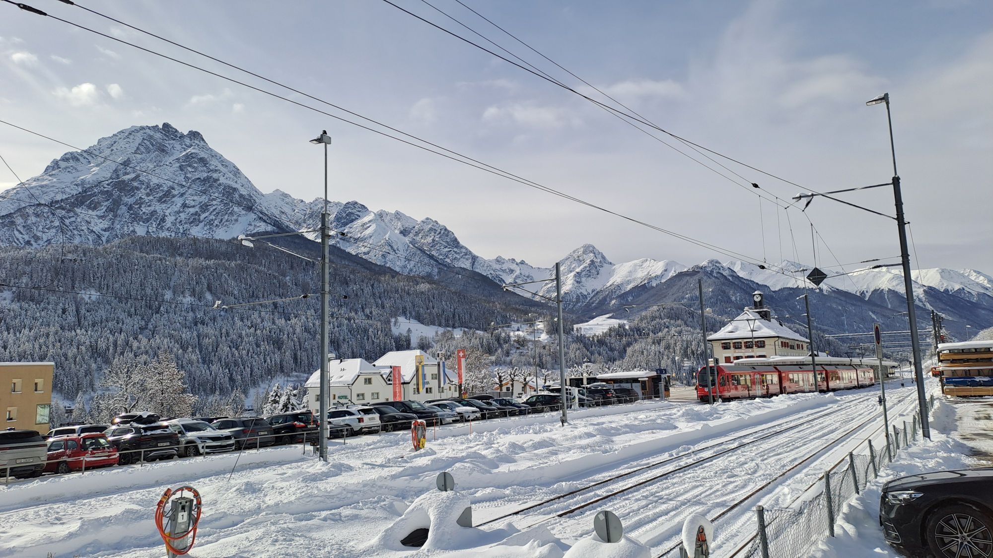
 © HeisiUtworzono dnia 16.09.2025
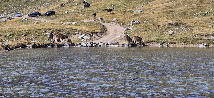 © HeisiUtworzono dnia 16.09.2025
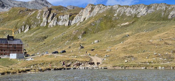 © HeisiUtworzono dnia 16.09.2025
 © HeisiUtworzono dnia 16.09.2025
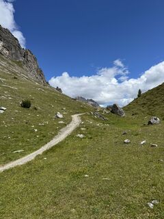
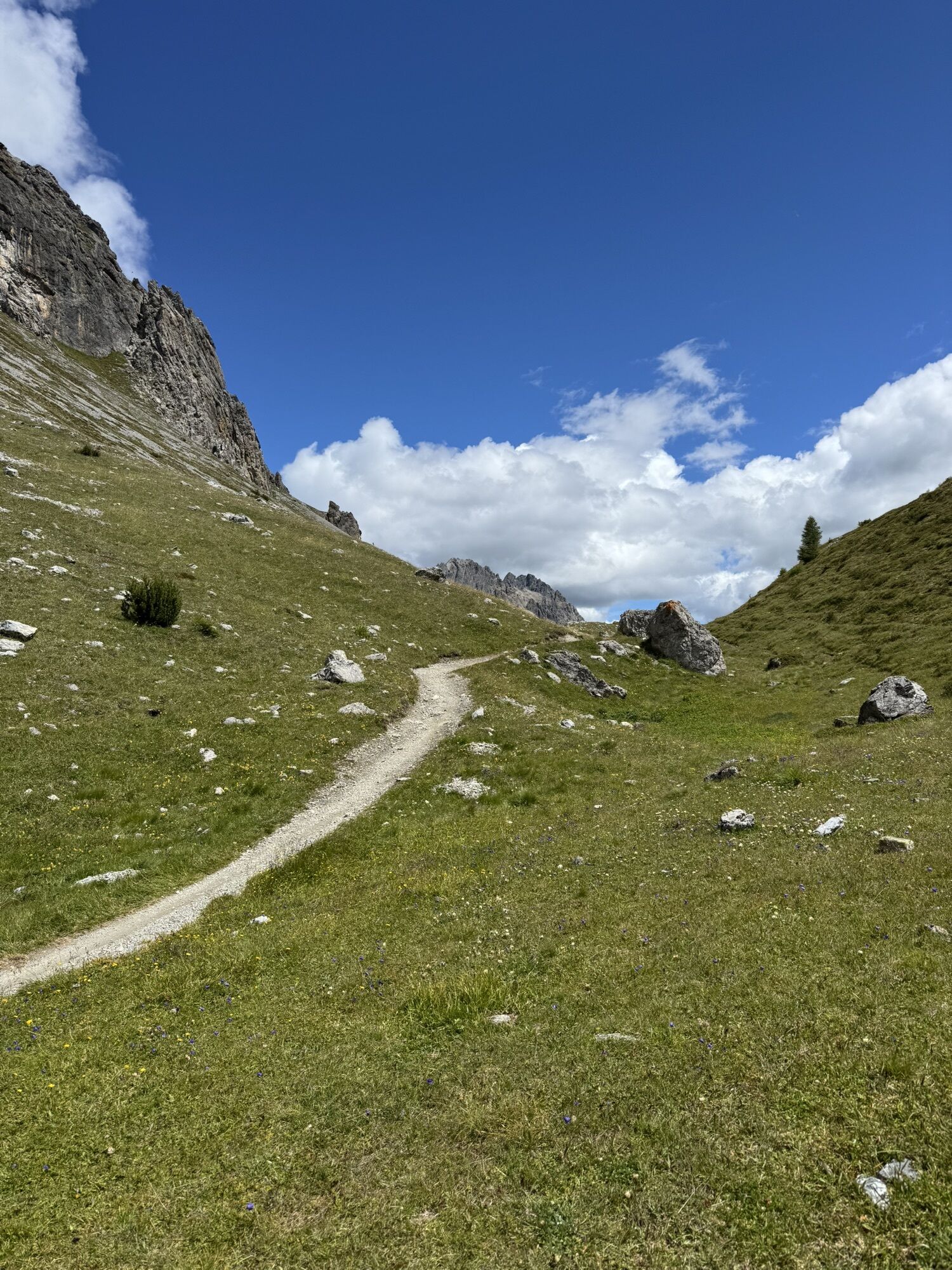
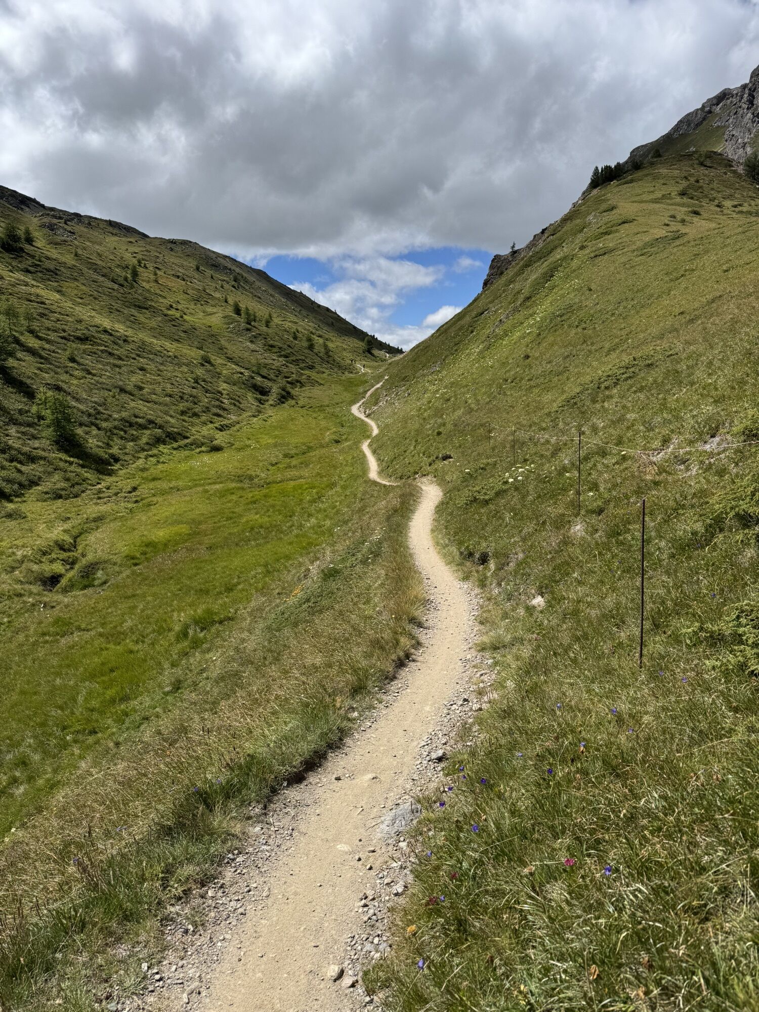
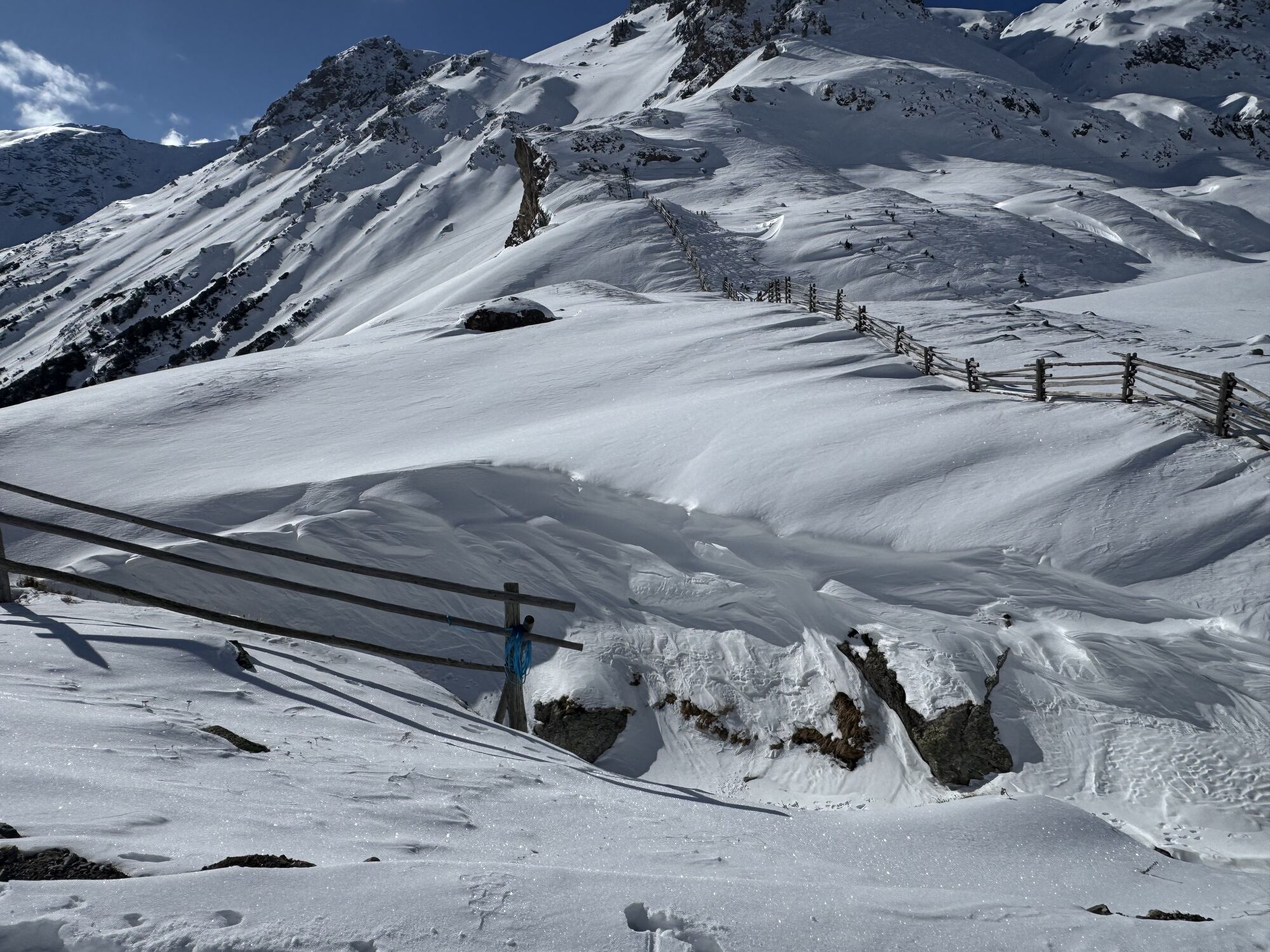
 © Bartli MargadantUtworzono dnia 31.07.2025
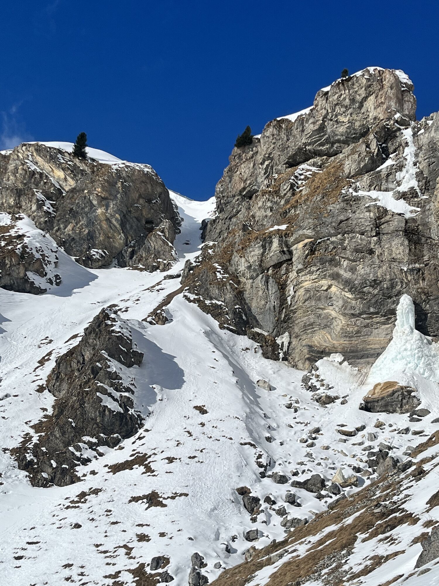
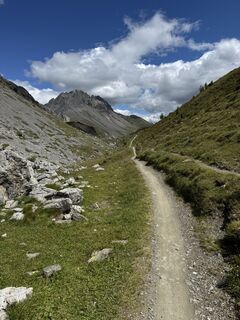 © Bartli MargadantUtworzono dnia 31.07.2025
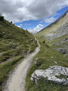 © Bartli MargadantUtworzono dnia 31.07.2025
 © Bartli MargadantUtworzono dnia 31.07.2025
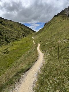 © Bartli MargadantUtworzono dnia 31.07.2025
 © Bartli MargadantUtworzono dnia 31.07.2025
 © Bartli MargadantUtworzono dnia 31.07.2025
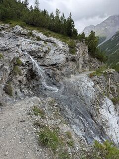 © Bartli MargadantUtworzono dnia 31.07.2025
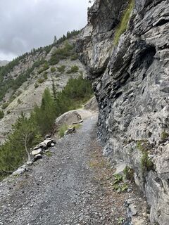 © Bartli MargadantUtworzono dnia 31.07.2025
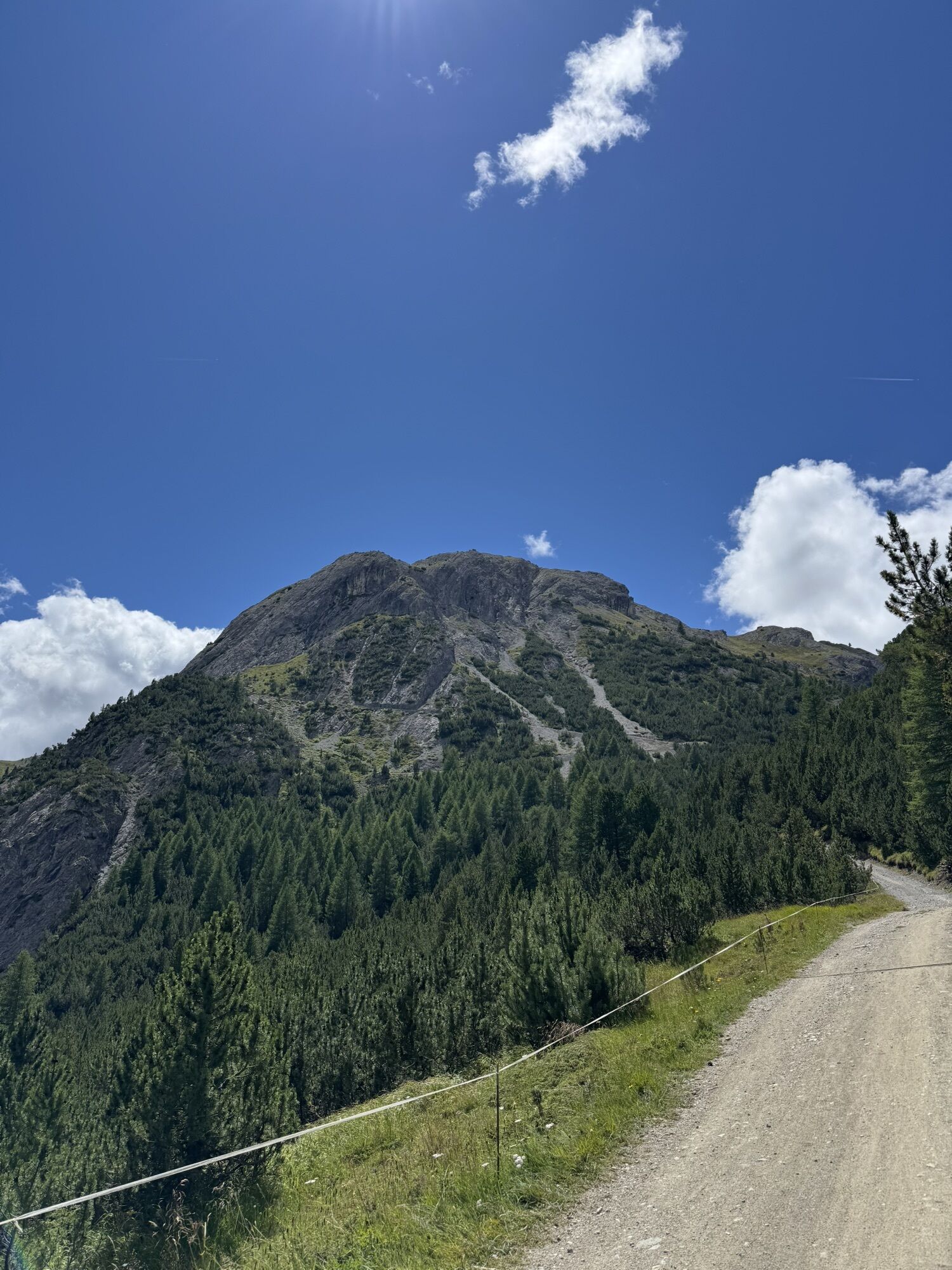
 © lotharkoernerUtworzono dnia 22.07.2025
 © lotharkoernerUtworzono dnia 22.07.2025
 © lotharkoernerUtworzono dnia 22.07.2025
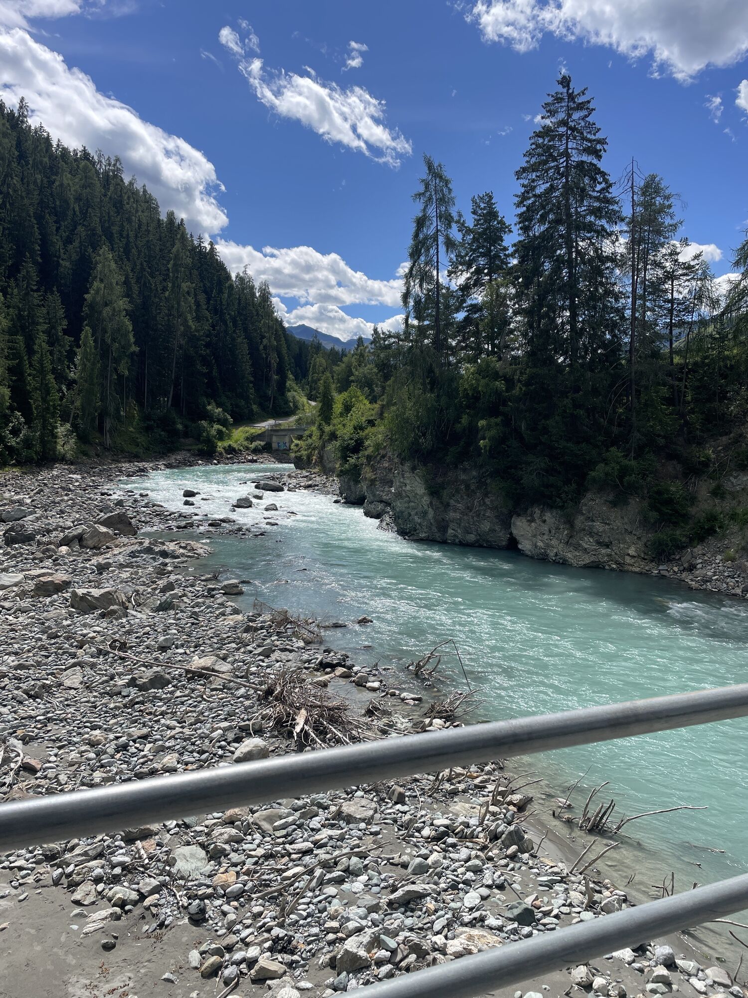
 © lotharkoernerUtworzono dnia 18.07.2025
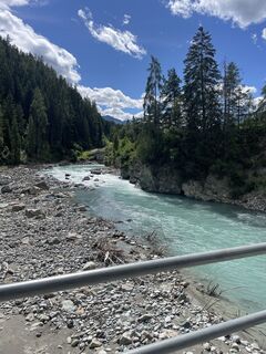 © lotharkoernerUtworzono dnia 18.07.2025
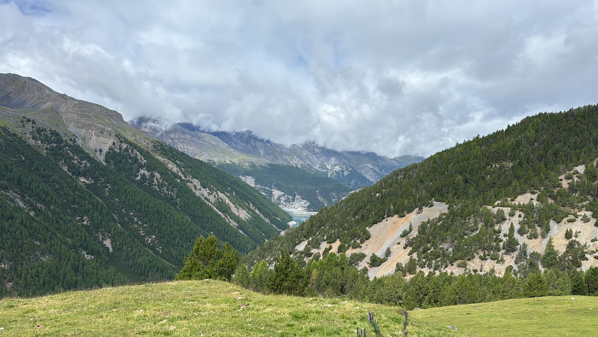
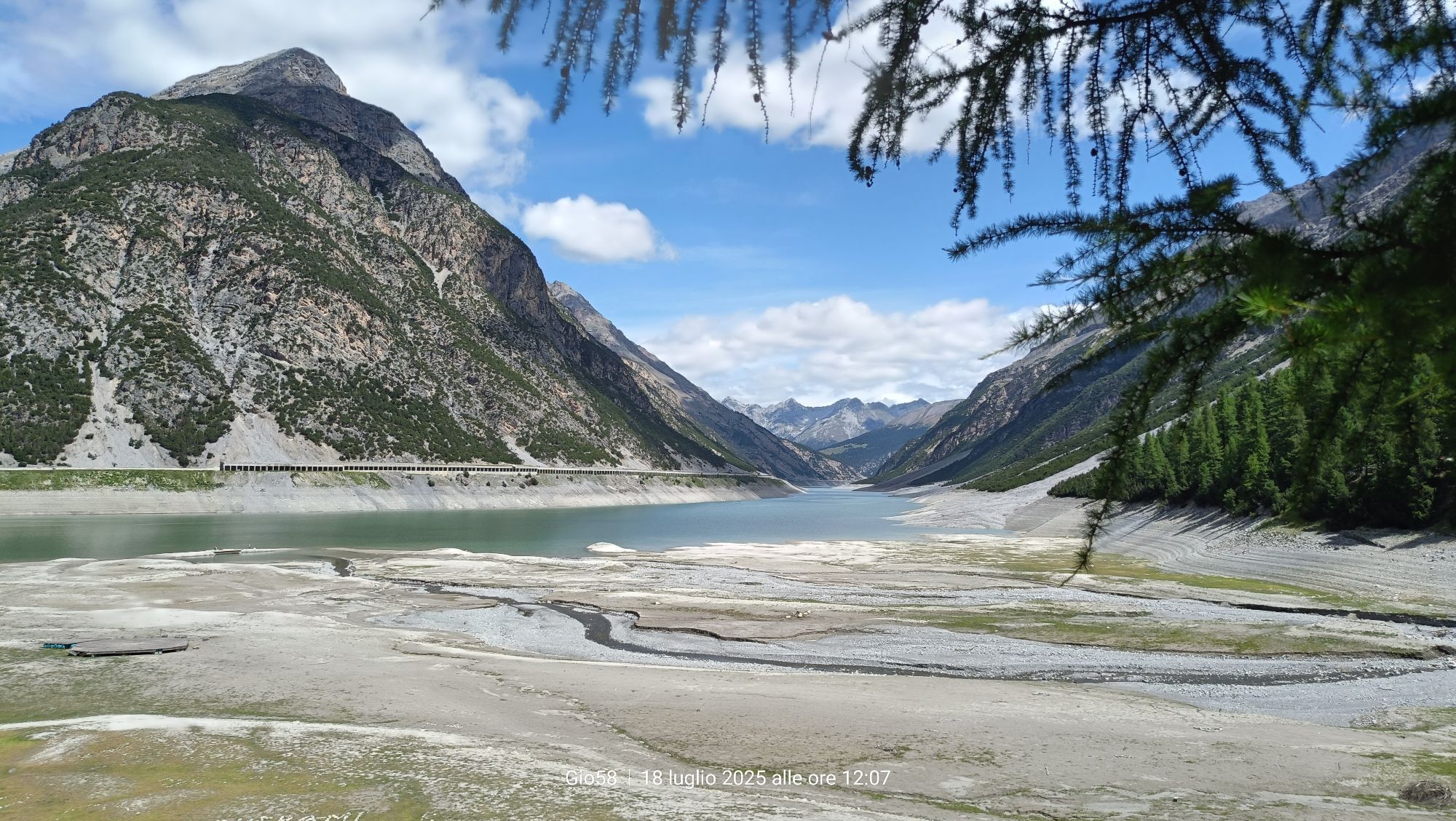
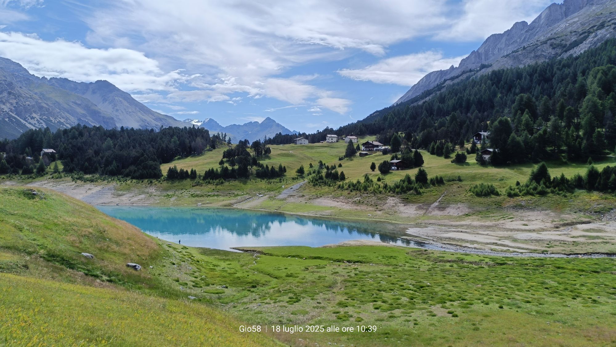
 © Gio58Utworzono dnia 18.07.2025
 © Gio58Utworzono dnia 18.07.2025
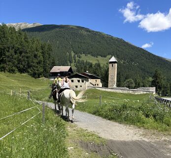
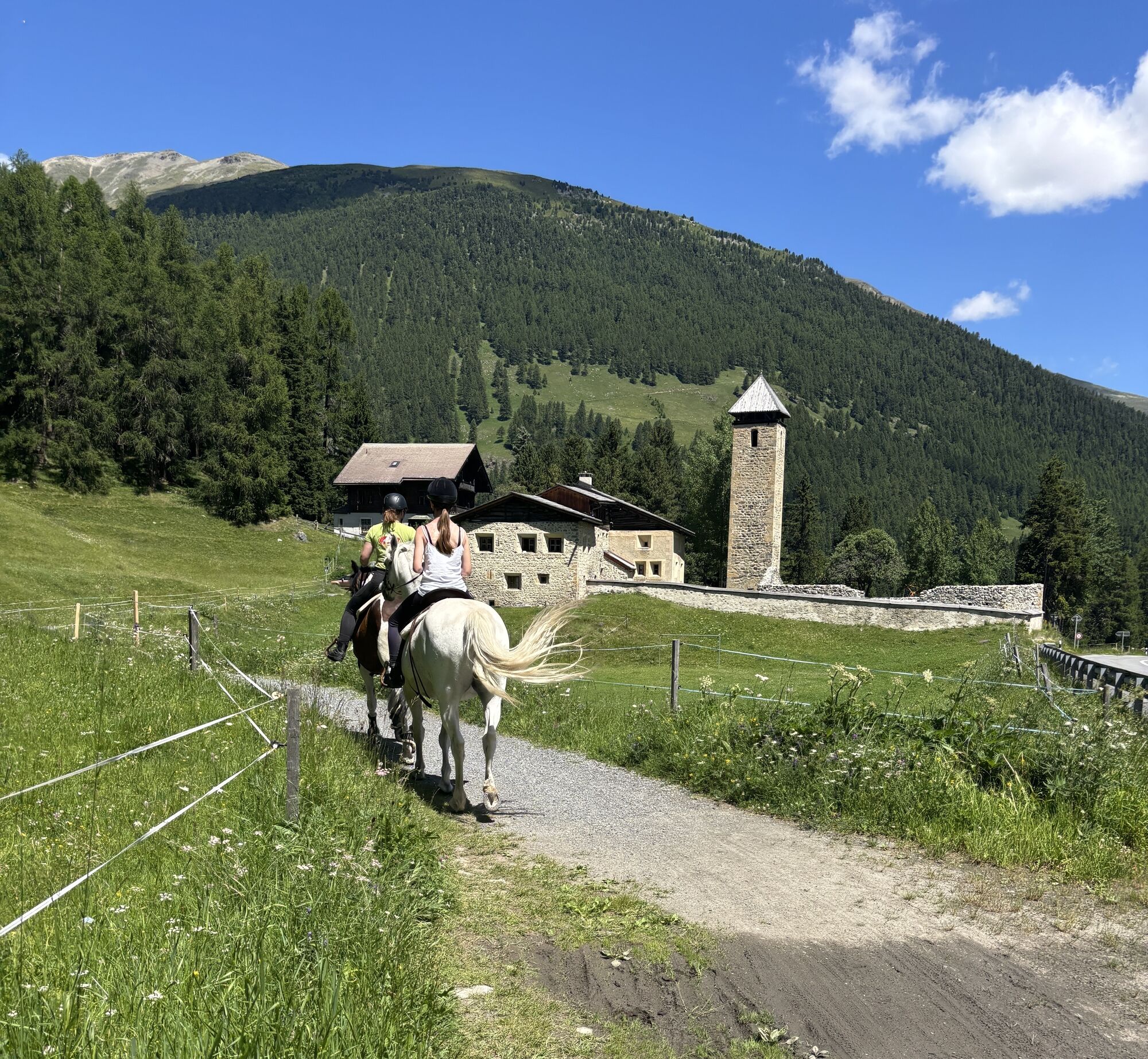
 © Susanna mastrobuoniUtworzono dnia 28.06.2025
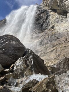
 © Helmut FiedererUtworzono dnia 21.10.2024
 © Ivano MerelliUtworzono dnia 21.08.2024
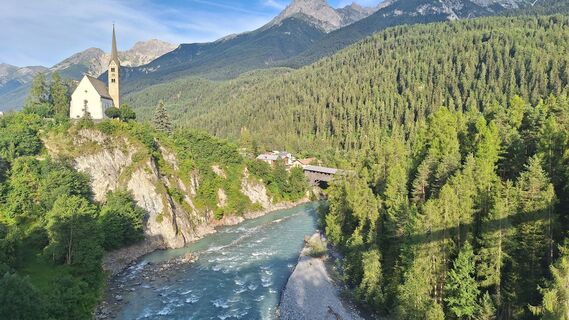
 © Matej Mikus 1Utworzono dnia 25.07.2024
 © Matej Mikus 1Utworzono dnia 25.07.2024
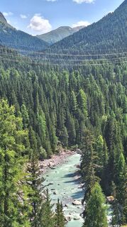 © Matej Mikus 1Utworzono dnia 25.07.2024
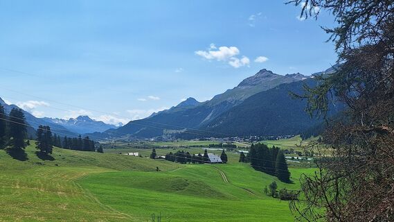 © Matej Mikus 1Utworzono dnia 25.07.2024
 © Grossmann EstherUtworzono dnia 04.09.2024
 © Grossmann EstherUtworzono dnia 04.09.2024
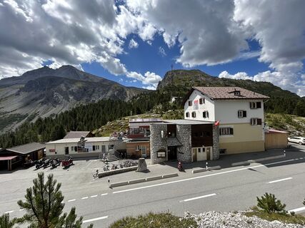
 © Gabriel LorenzUtworzono dnia 16.08.2023
 © Gabriel LorenzUtworzono dnia 16.08.2023
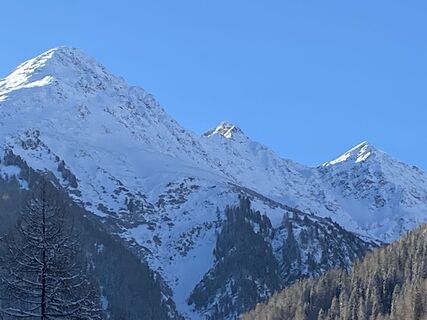
 © Daniel BulfoniUtworzono dnia 11.12.2022
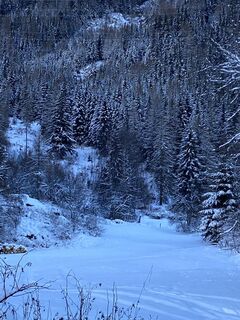 © Daniel BulfoniUtworzono dnia 11.12.2022
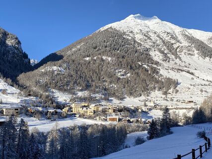 © Daniel BulfoniUtworzono dnia 11.12.2022
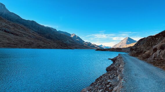
 © Christian PhilippiUtworzono dnia 19.10.2022
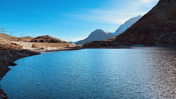 © Christian PhilippiUtworzono dnia 19.10.2022
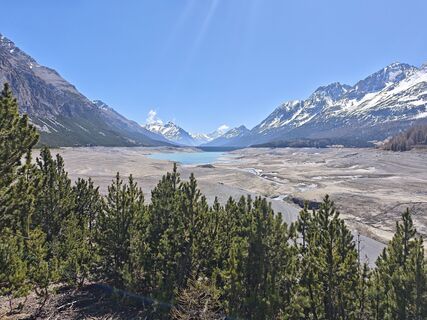
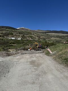
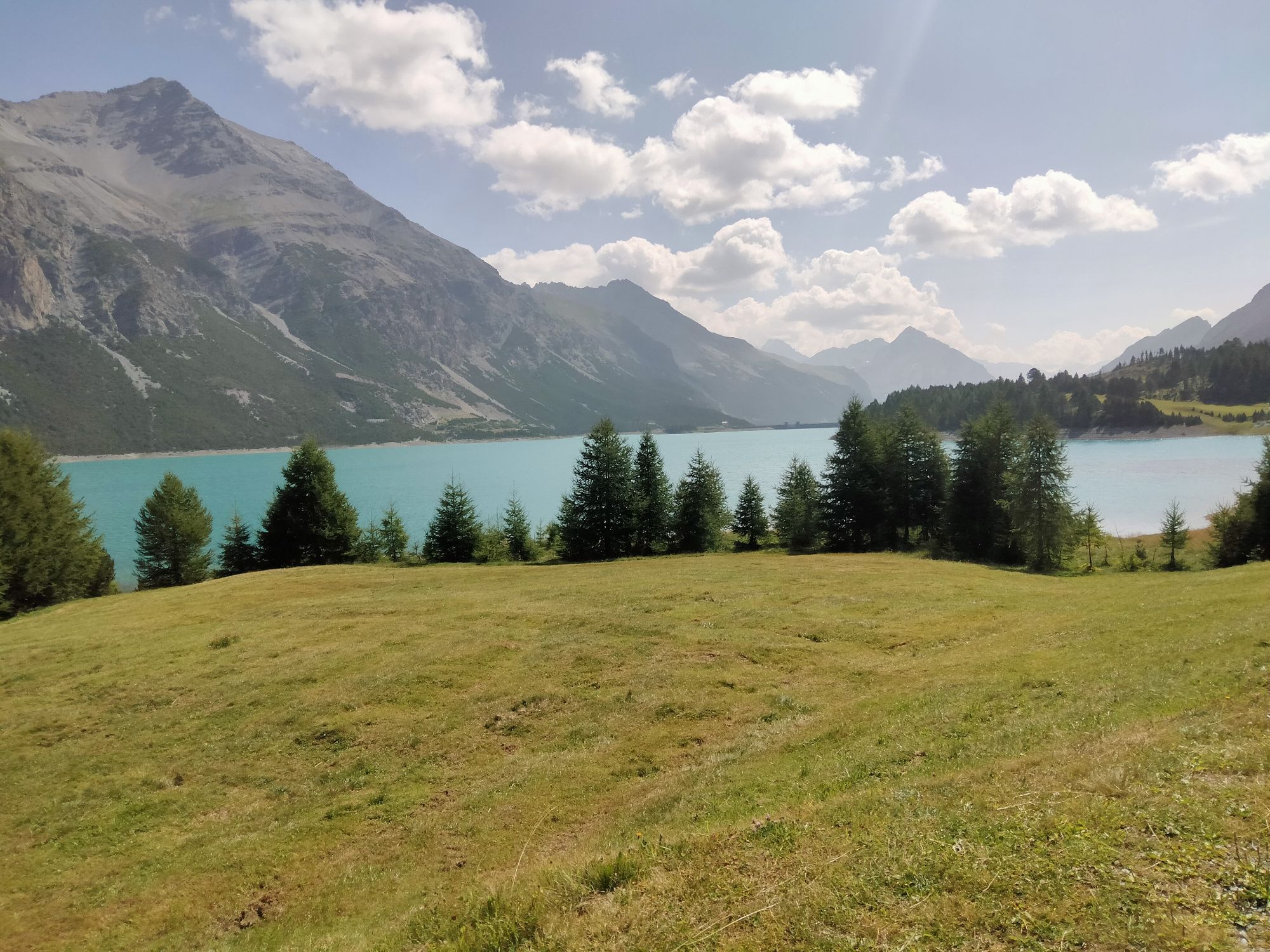
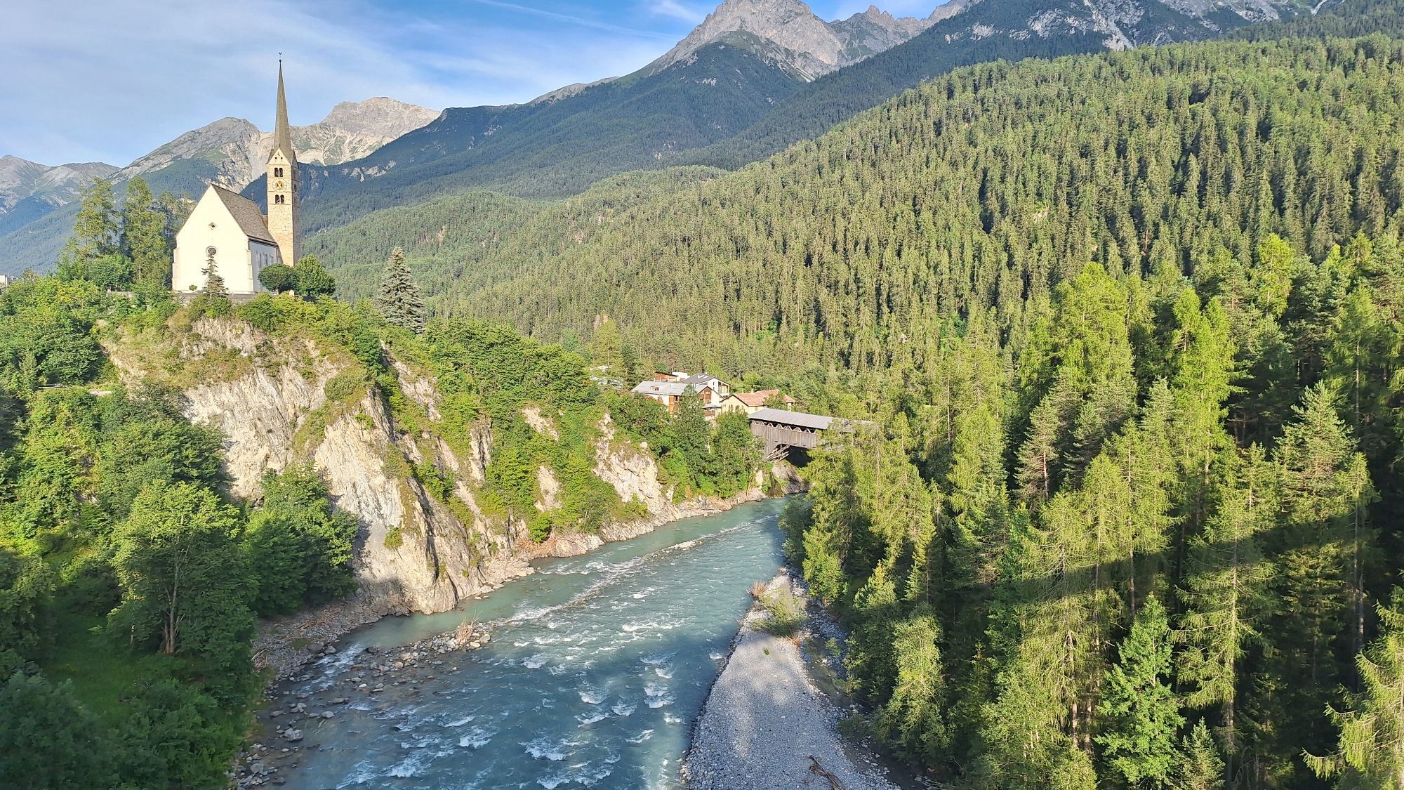
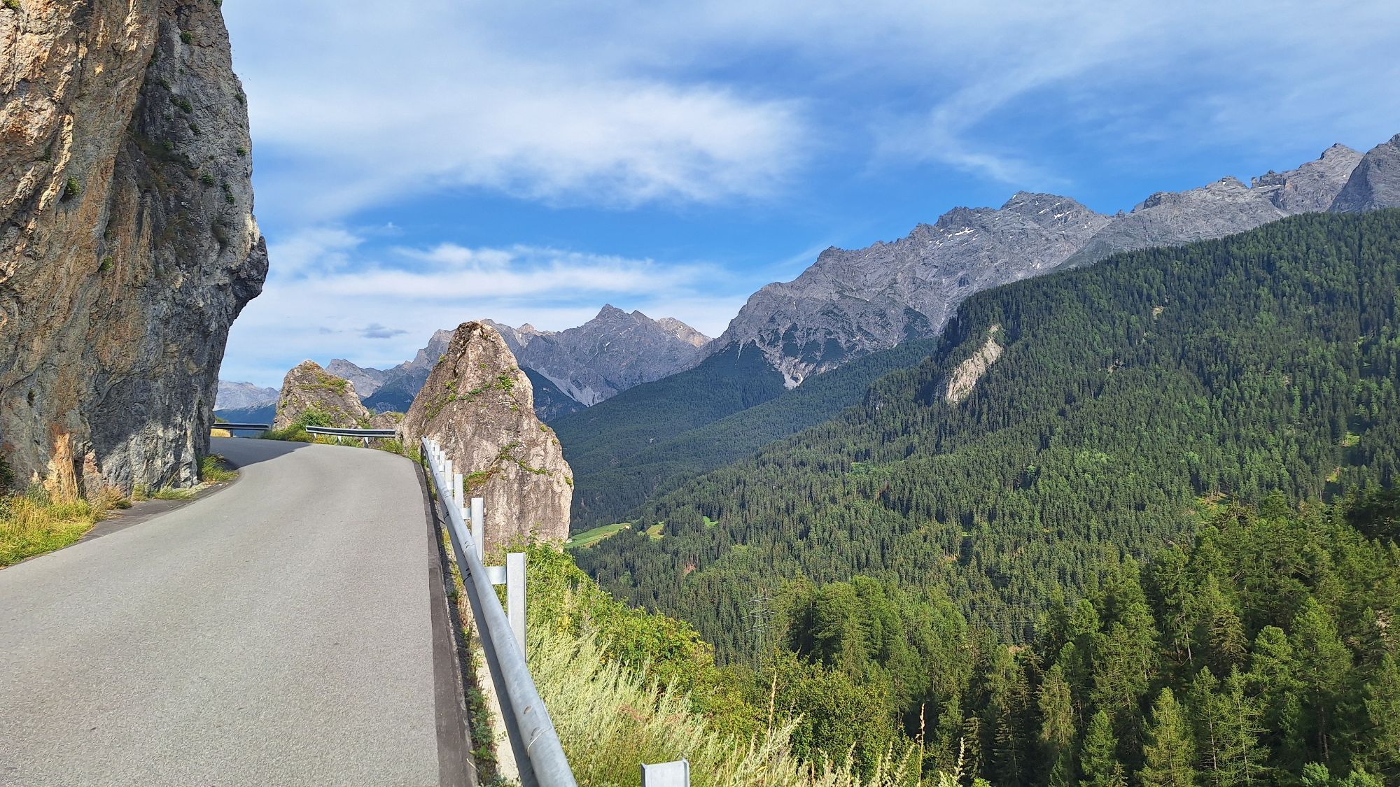
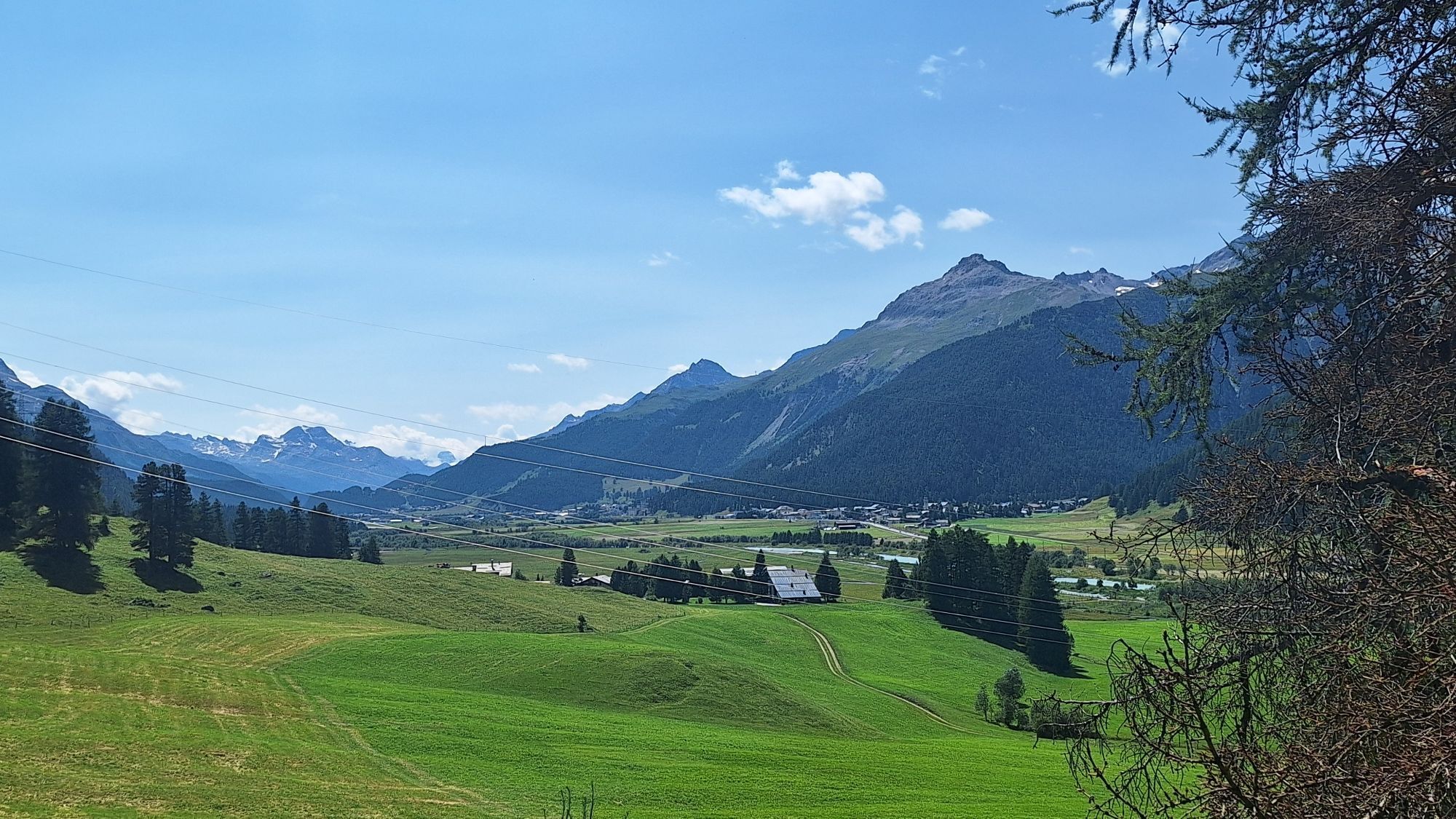
 © Giacomo BrambillaUtworzono dnia 01.05.2026
 © Giacomo BrambillaUtworzono dnia 01.05.2026
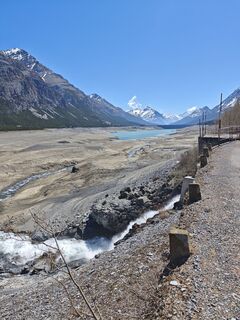 © Giacomo BrambillaUtworzono dnia 01.05.2026
 © Giacomo BrambillaUtworzono dnia 01.05.2026
 © Giacomo BrambillaUtworzono dnia 01.05.2026
 © GibiUtworzono dnia 18.02.2026
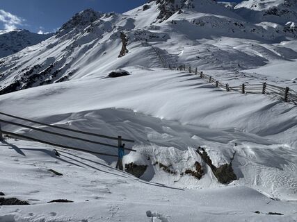
 © Marco WolfUtworzono dnia 09.02.2026
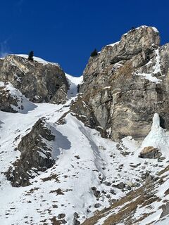 © Marco WolfUtworzono dnia 09.02.2026
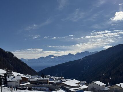 © Marco WolfUtworzono dnia 09.02.2026
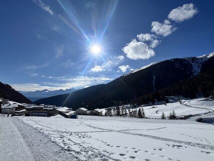 © Marco WolfUtworzono dnia 09.02.2026
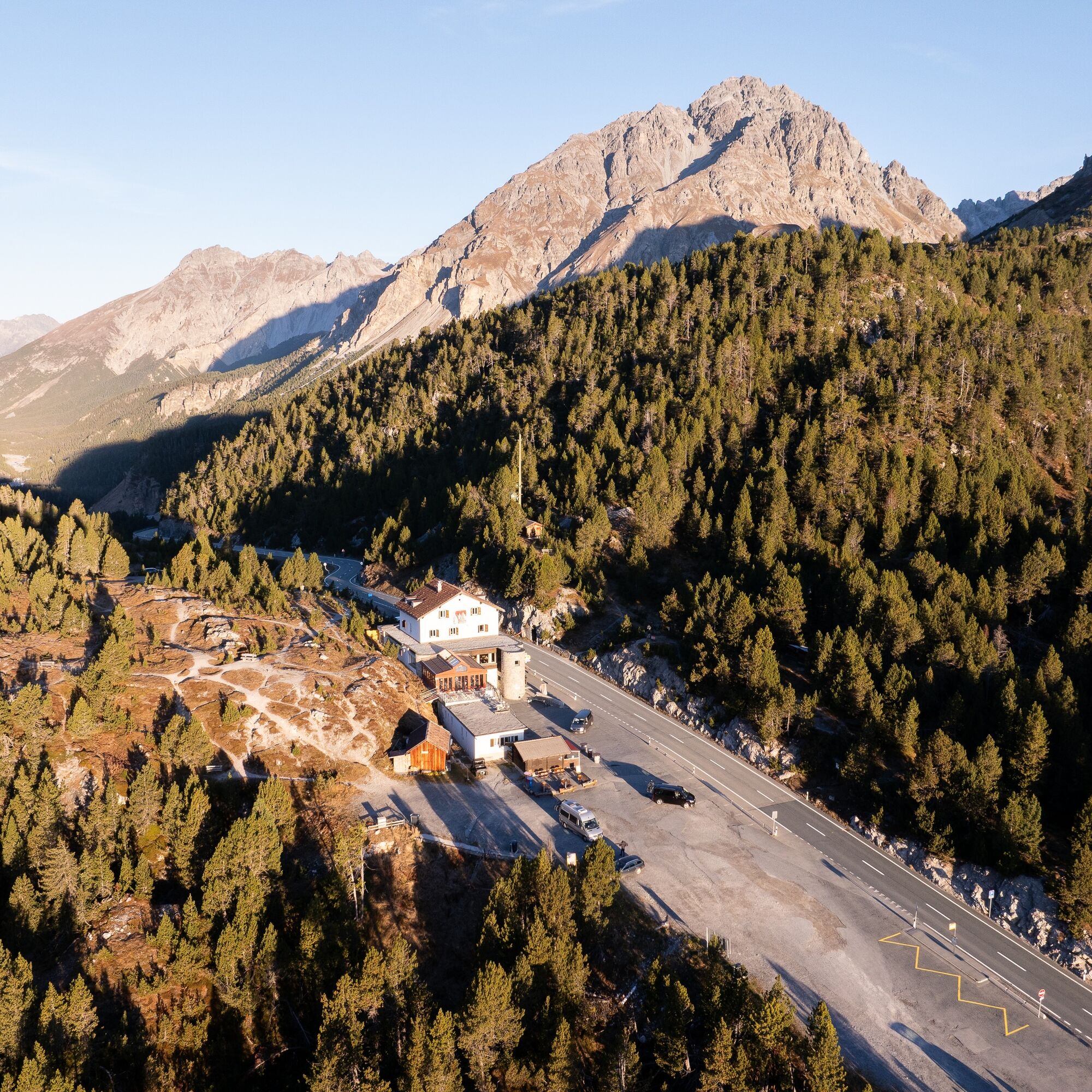
 © Steyr65Utworzono dnia 24.01.2026


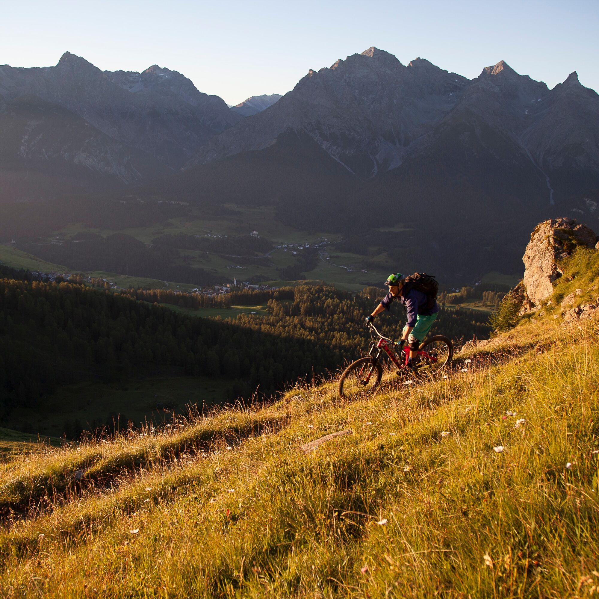
Stage 1: Scuol – Val Müstair
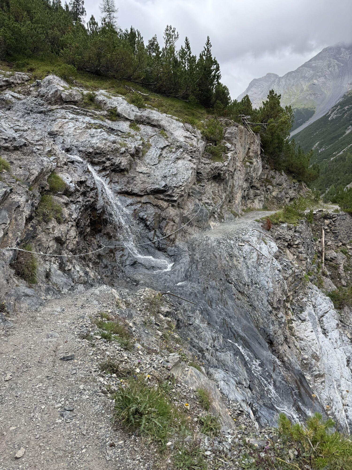
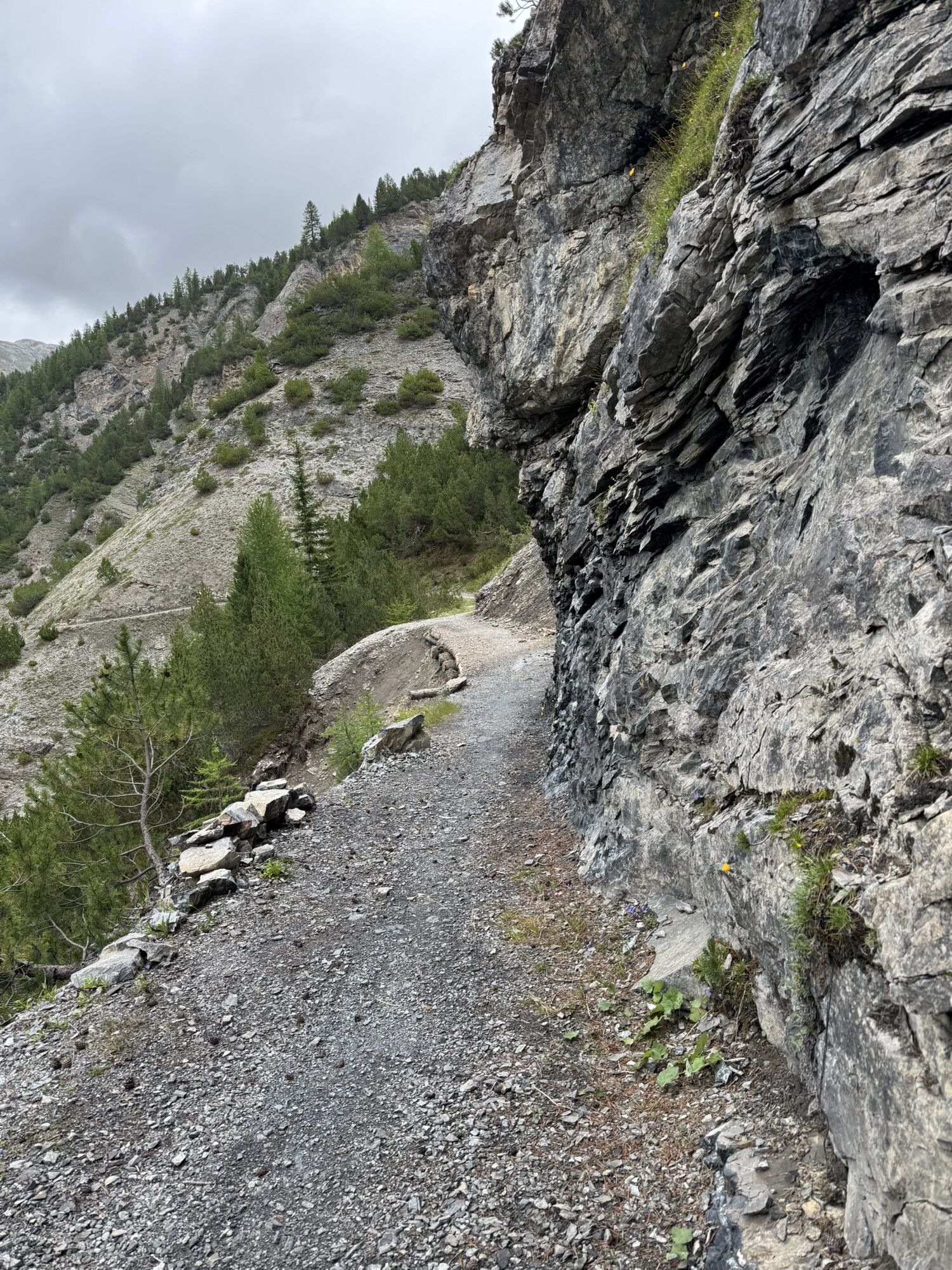
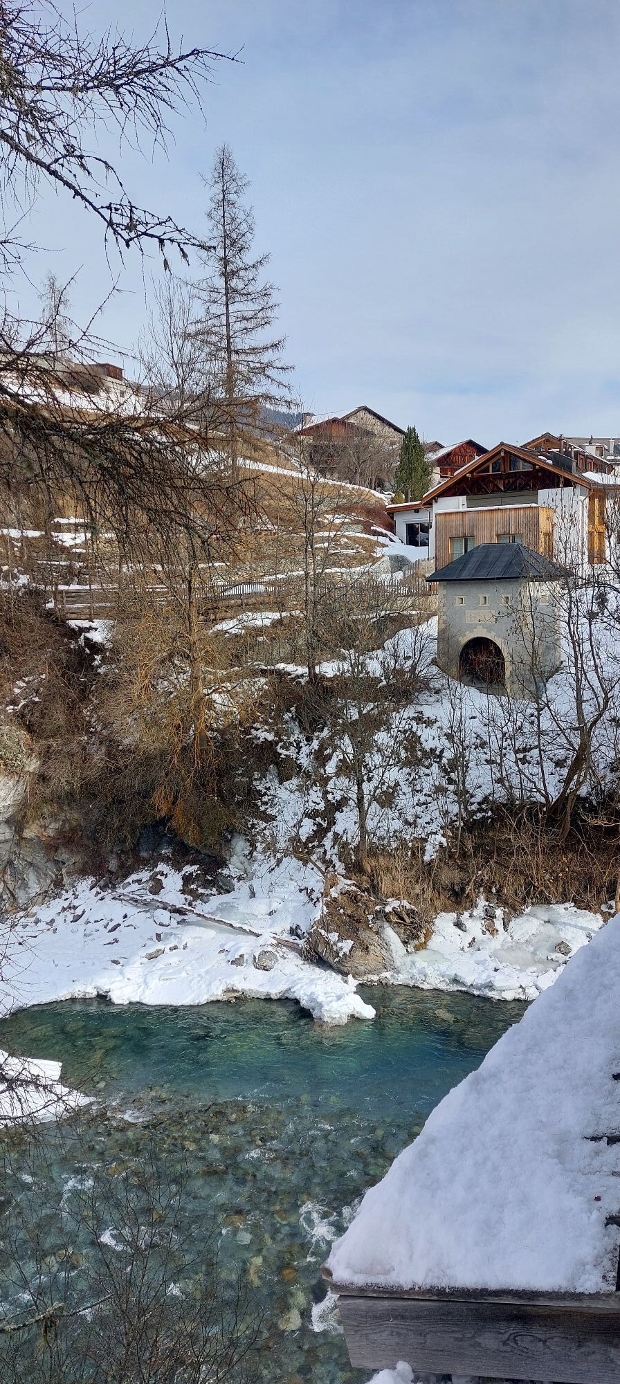
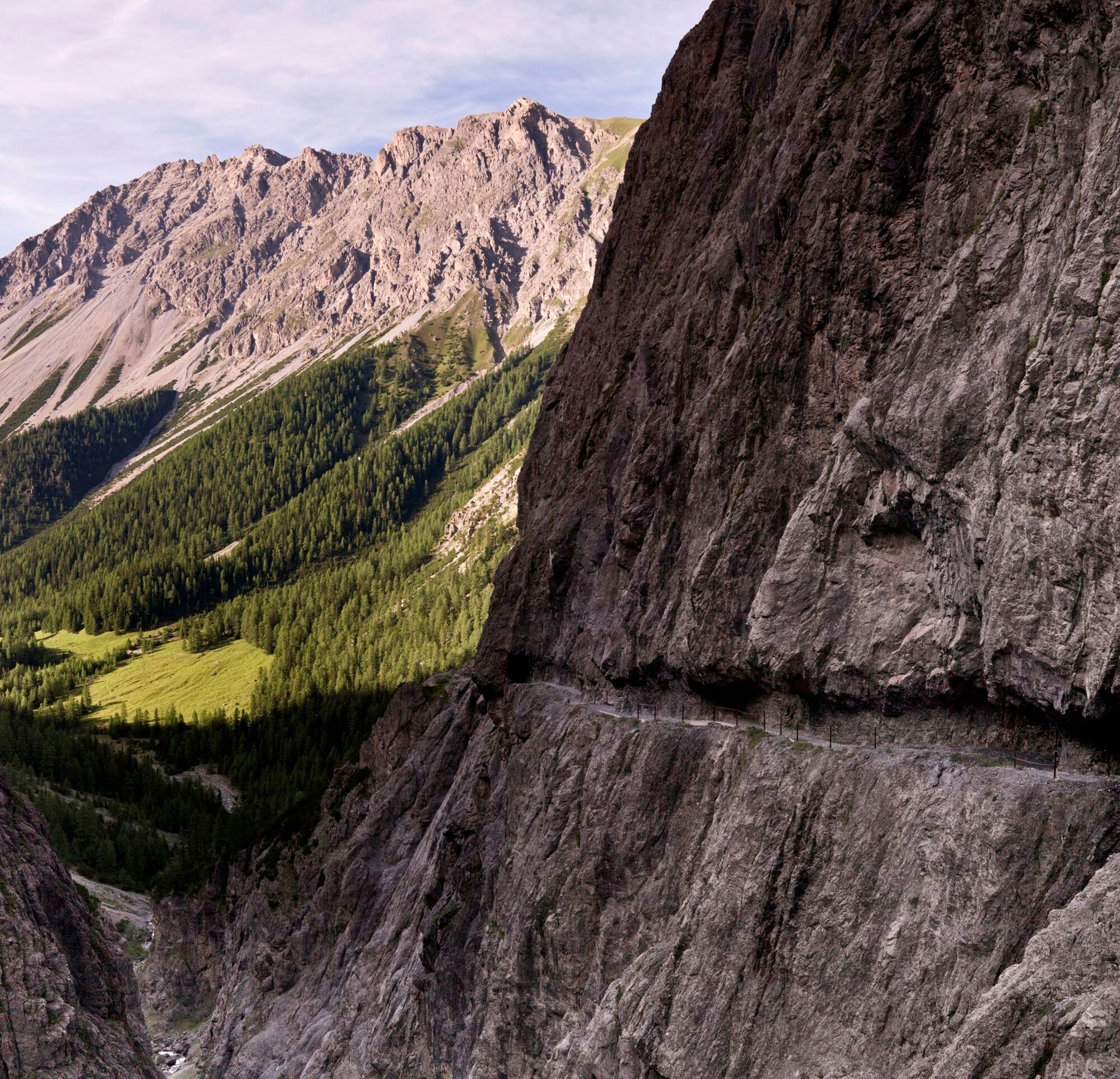
The 4-day route, starting in Scuol, begins on an impressively rock-carved smuggler’s path in Val d'Uina. 100 meters above the gorge floor, sure-footedness and a head for heights...
Stage 1: Scuol – Val Müstair
The 4-day route, starting in Scuol, begins on an impressively rock-carved smuggler’s path in Val d'Uina. 100 meters above the gorge floor, sure-footedness and a head for heights are required despite chains and handrails for safety. The subsequent singletrail leads to the staffed Sesvenna hut (2256 m). The further path, mostly on gravel and a short section on the main road, descends into the South Tyrolean village of Laatsch (1250 m). Following the Rom Creek, the day’s destination in Val Müstair is reached.
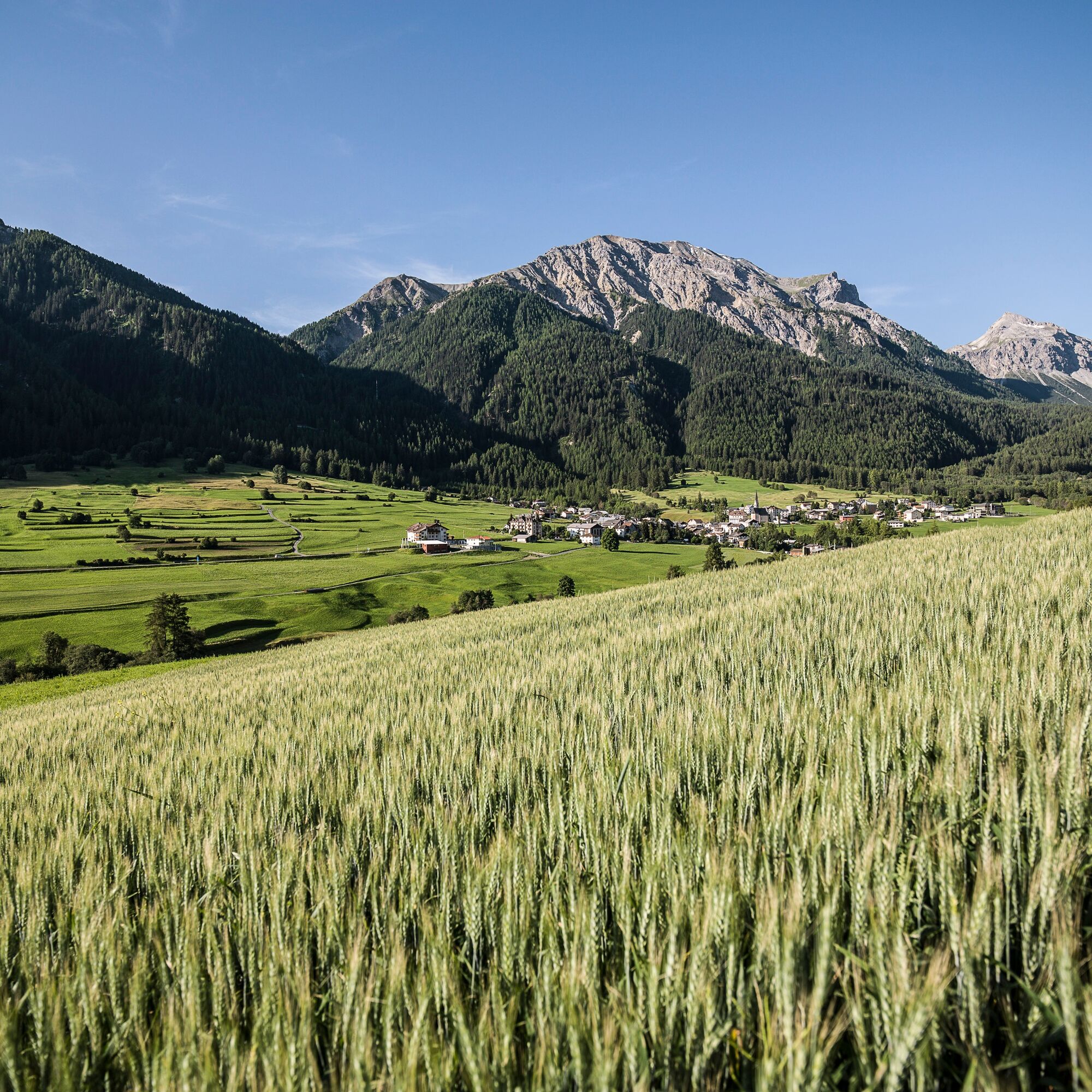
Stage 2: Val Müstair – Livigno
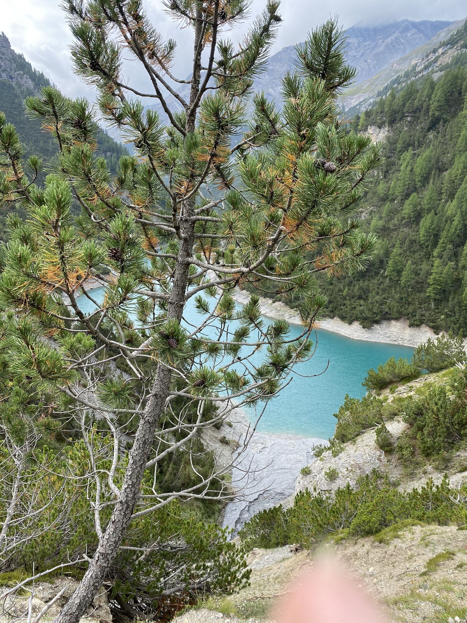
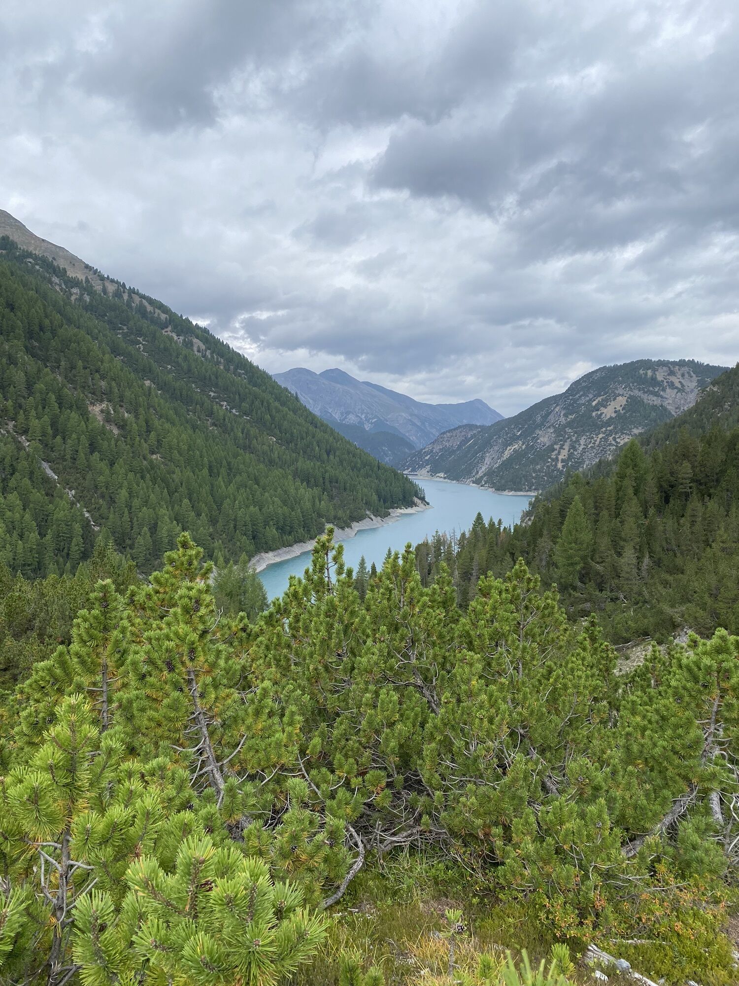
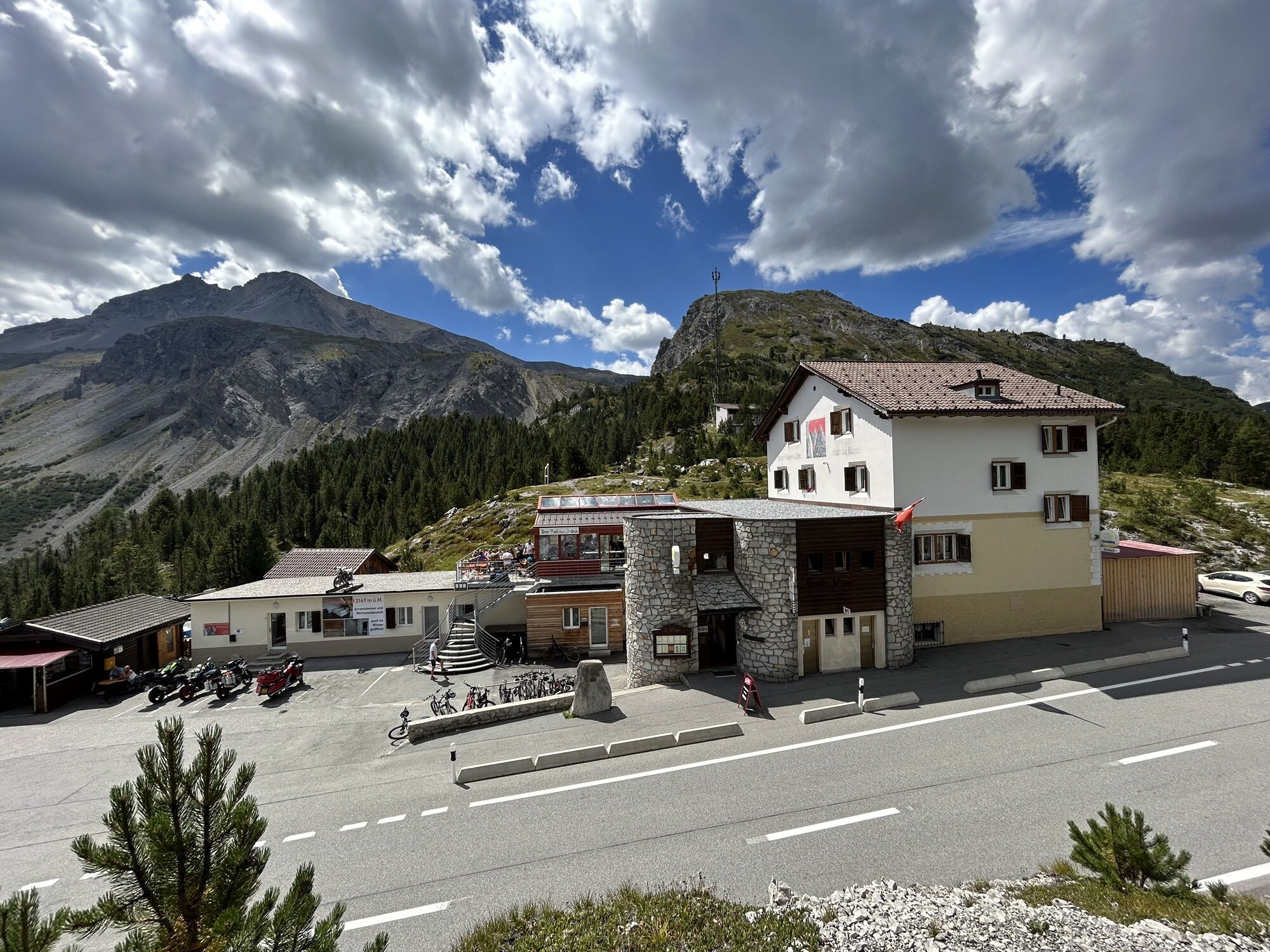
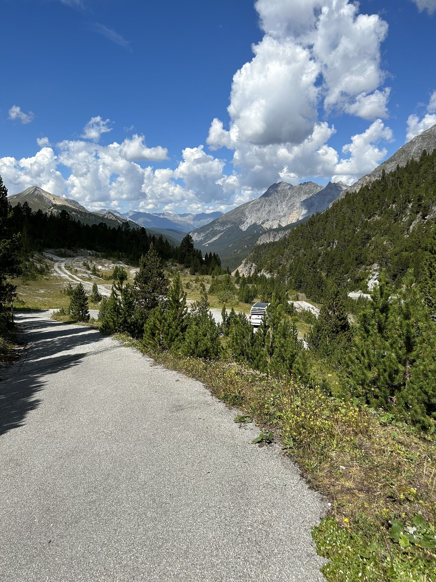
From the stage town, the day trip begins with some effort over Valchava (1552 m), going against route no. 444 (National Park Bike Marathon) on a gravel road through the forest to Tschierv (1660 m). Here starts the ascent to the Ofen Pass (pass road, just under 5 km). At the pass height (2149 m), a flow trail branches off to the left down to Alp Buffalora (2038 m). The climb to Fuorcla del Gallo (2080 m) is steep and ends in a great trail to the pass height. Then follows a singletrail to Lago di Livigno. The following stretch to Passo di Fraéle (1952 m) is almost flat. The route continues to Casine di Trela (2170 m) on a flow trail over Passo di Val Trela (2295 m) to Ponte delle Capre (1810 m) on hard gravel to Livigno (1805 m), the stage destination.
Stage 3: Livigno – Poschiavo – Zuoz/S-chanf/Cinuos-chel
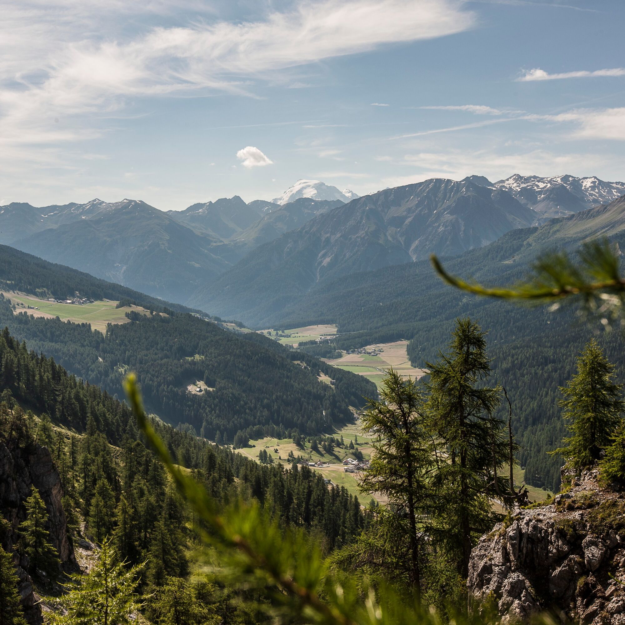
The route from Livigno to Forcola di Livigno (2316 m) runs on the new bike path as well as the pass road and is perfect for warming up. Then the route branches off right from the pass road and follows the attractive "Val Minur Marmotta-Trail", which connects Forcola di Livigno with Forcola Minor and reaches the highest point at Motta Bianca (2561 m). It continues to Ospizio Bernina.
The route to Poschiavo passes Lago Bianco (2234 m) to the starting point of the 1200-meter elevation singletrail experience "Bernina Express" to Poschiavo. The partly difficult trail (S2, partly large stone slabs) runs via Alp Grüm (2091 m), Cavaglia (1703 m), and Cadera (1461 m), crossing the railway line again and again. In Poschiavo (1014 m), it is worth having a coffee on the piazza and enjoying the Italian flair of the village before continuing with the Bernina railway. As an alternative, the "Poschiavino Trail" along the Poschiavino is available.
From Poschiavo, the Rhaetian Railway climbs back up the entire elevation to Bernina Suot station (2046 m) and further to Pontresina (1805 m). To reach the stage destination village, you must change trains in Pontresina towards Scuol-Tarasp. Optionally, this route from Bernina Suot past the Morteratsch Glacier to Pontresina (1805 m) can be done by bike. Then continuing on a gravel road to Punt Muragl (1738 m), past Engadin Airport to the stage destination S-chanf.
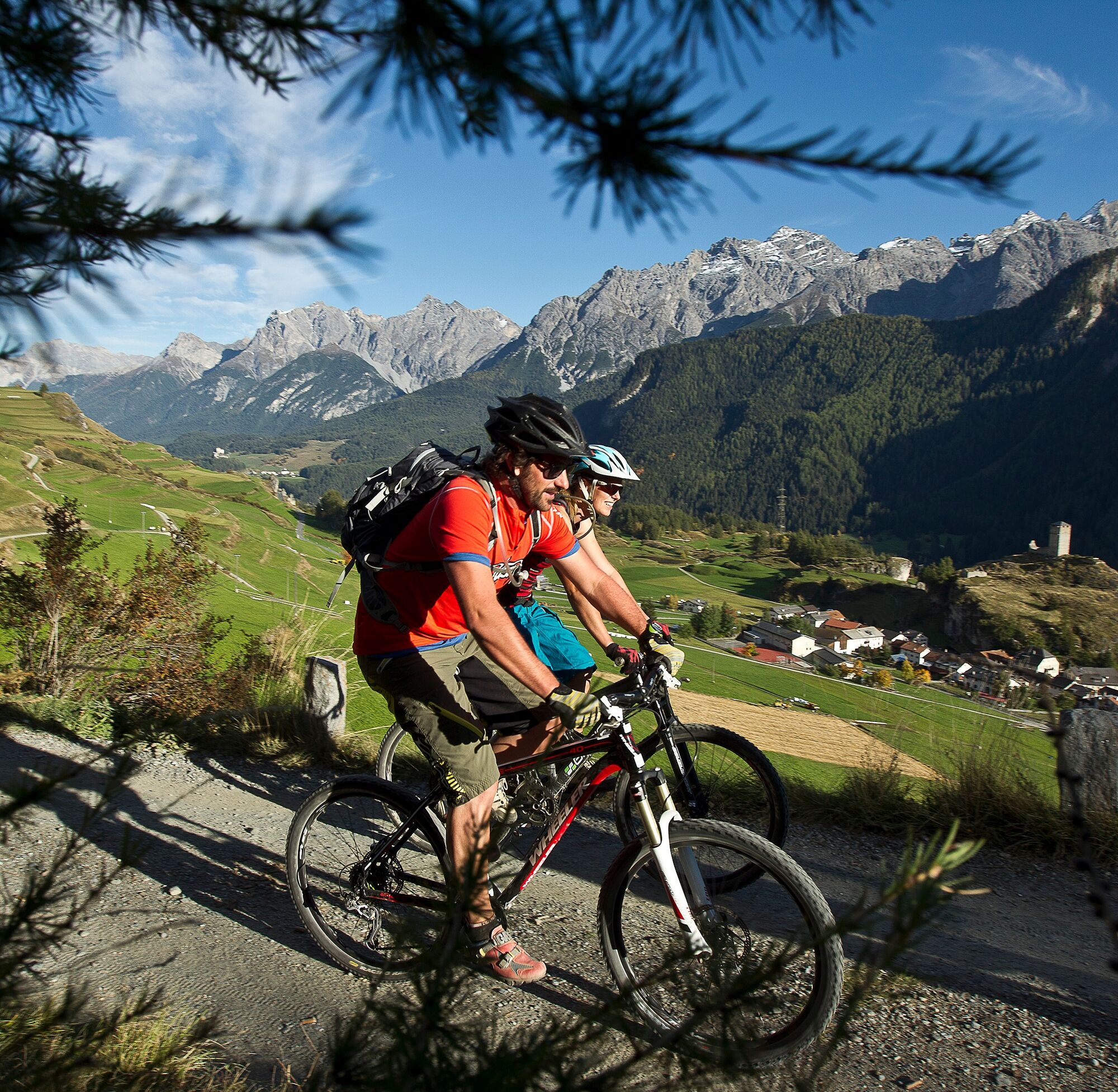
Stage 4: Zuoz/S-chanf/Cinuos-chel – Scuol
From S-chanf (1669 m), the route follows route no. 444 (National Park Bike Marathon) along the Rhaetian Railway connection to Zernez (1485 m) and further along the Inn to Susch (1426 m). From here, a gravel road leads to Lavin (1387 m). At the wooden bridge, route no. 444 is left and the route descends to the Inn Gorge near Giarsun (1361 m) and ascends again to the hamlet Sur En d'Ardez (1469 m), a short section on the road to Ardez (1464 m). Then a short steep ascent leads back onto route no. 444 towards Ftan. From Ftan Pitschen (1644 m), it goes over a difficult singletrail, crossing the road twice, towards Scuol. Then follow two switchbacks (approx. 1.3 km) on the main road before the path branches right at Putschigls (1361 m). The singletrail leads via Nairs (1191 m) to Scuol station (1250 m).

Helmet, gloves, good footwear, glasses, rain and sun protection, water bottle, repair kit, first aid kit
The route was rated under favorable weather conditions; current weather conditions and forecasts must be strictly observed before starting. This route requires a certain level of riding safety, balance, and technical skills – along with good fitness.
Emergency numbers:
144 Emergency, First Aid
1414 Mountain rescue REGA
112 International emergency number
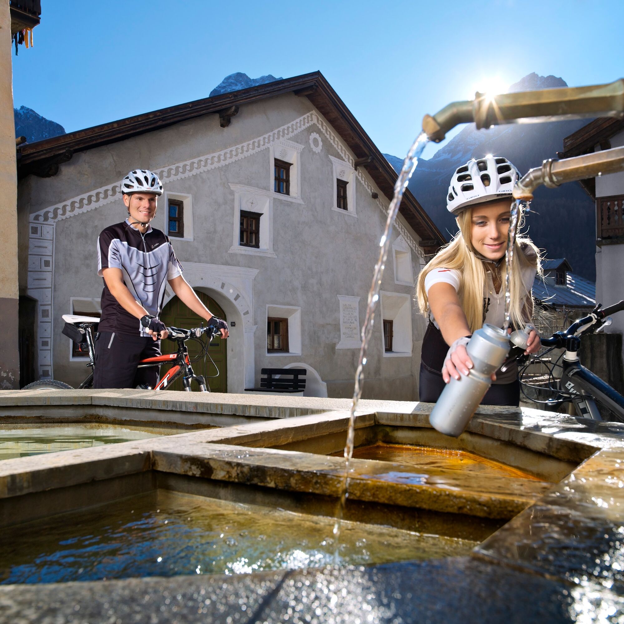
Please be considerate when passing and overtaking hikers. The Graubünden mountain bike routes mostly run on singletrails also marked as hiking trails. Hikers always have the right of way.
Scuol is located directly on the Engadin road H27 (25 minutes driving time from Vereina south portal)
By the Rhaetian Railway (from Chur, Landquart/Prättigau or from Upper Engadin) hourly to Scuol-Tarasp
By PostAuto (from Martina, Sent, Ftan or Tarasp) hourly to Scuol-Tarasp station
Paid parking spaces at the station in Scuol
Free parking "Porta" and "Punt" in Scuol Sot
S3
An alternative to the 3rd stage route via "La Stretta" is offered by the new and attractive "Val Minur Marmotta-Trail", which connects the Forcola di Livigno with the Forcola Minor, reaches the highest point at Motta Bianca (2561 m), and continues to Ospizio Bernina.
Due to the numerous alternatives (Val Minur Marmotta-Trail, Poschiavino Trail or Bernina Express Singletrail, descent from Bernina or Pontresina by bike or train), detailed route planning is essential. It is highly recommended to carry maps.
Popularne wycieczki w okolicy
- 4,8
Circular hike Val Trupchun in the Swiss National Park
średniWędrówka 13,8 km - 4,8
National park: Zernez – Munt Baselgia – Macun lakes – Alp Zeznina – Lavin
ciężkiWędrówka 22,9 km - 4,0
National Park: Margunet
światłoWędrówka 7,76 km - 4,8
National Park: Grimmels (circular hike)
światłoWędrówka 6 km - 5,0
Crap da la Pare' with Joëlette
światłoWędrówka 4,58 km - 5,0
National Park: Murtaröl
ciężkiWędrówka 15,6 km - 5,0
National Park: Spöl Valley
światłoWędrówka 7,67 km National Park: Chamanna Cluozza
średniWędrówka 8,37 km- 4,5
From S-charl to the Ofenpass
średniWędrówka 13,9 km - 4,0
Süsom Givè - Chaschlot - Valbella - Süsom Givè
średniWędrówka 9,73 km

Wędrówki i tropienie


Nie przegap ofert i inspiracji na następne wakacje
Twój adres e-mail została dodana do listy mailingowej.