


National Park Region – E-Mountain Bike Route Stage 4: Zuoz – Scuol
Poziom trudności: S1
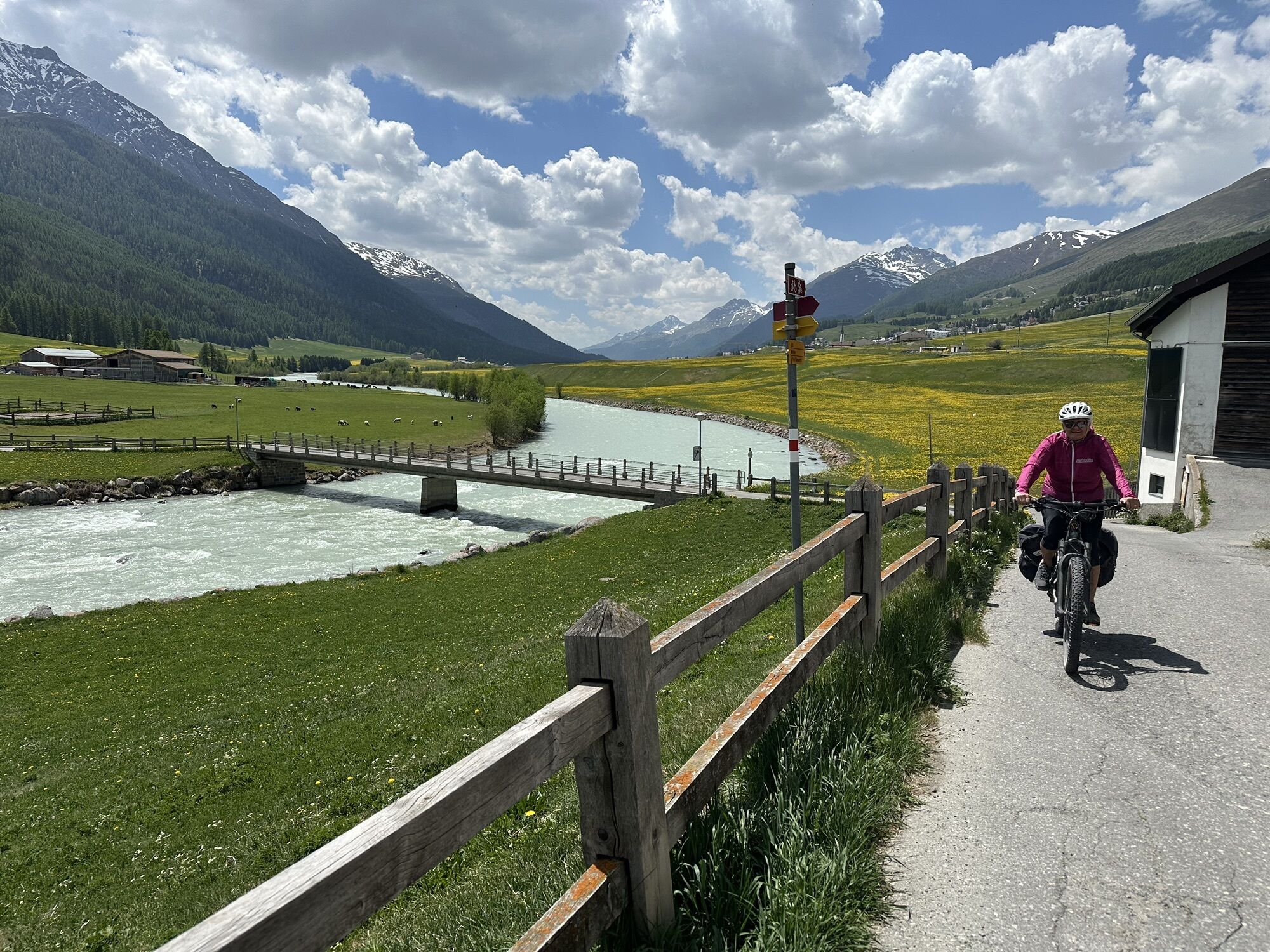
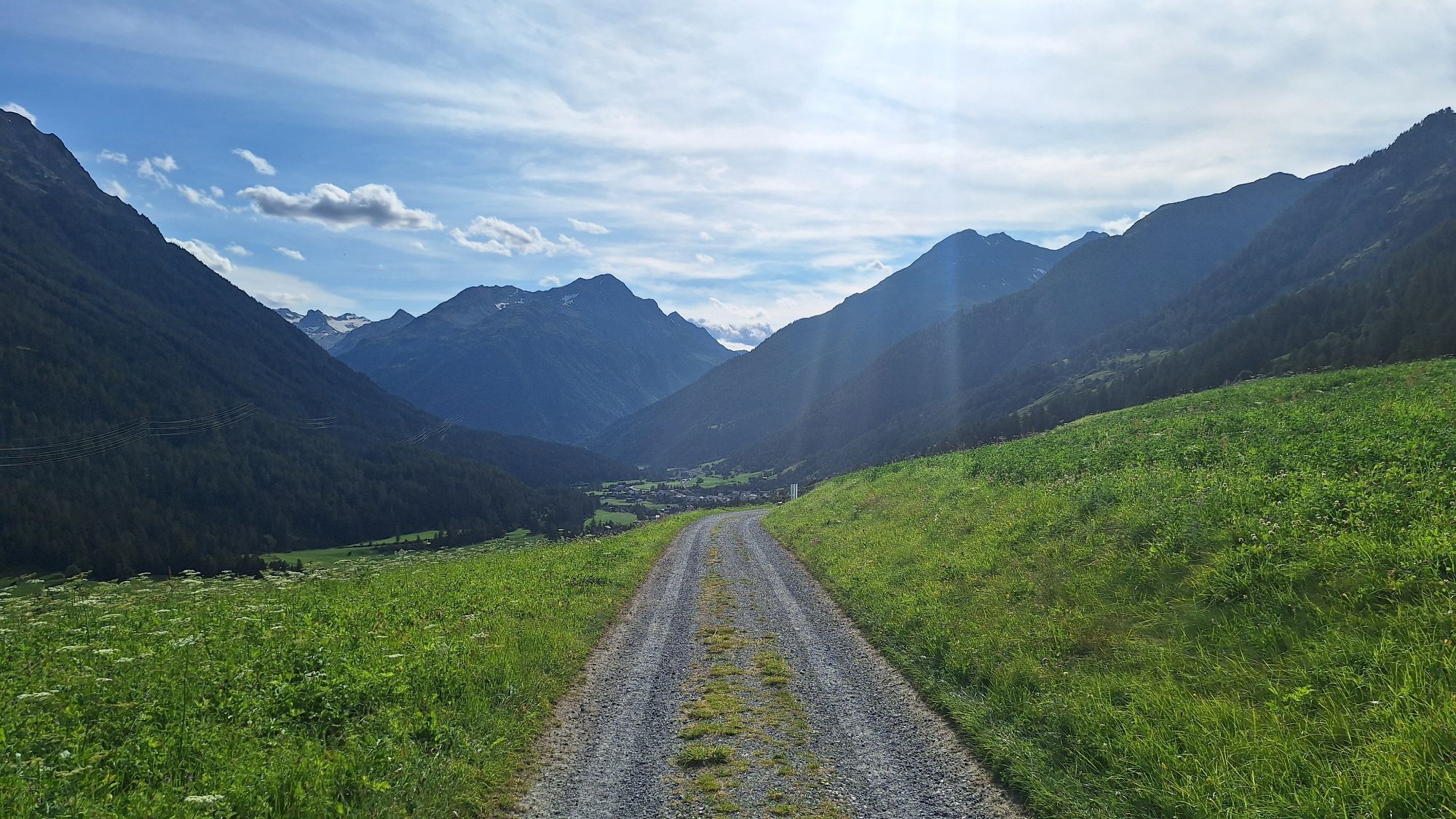
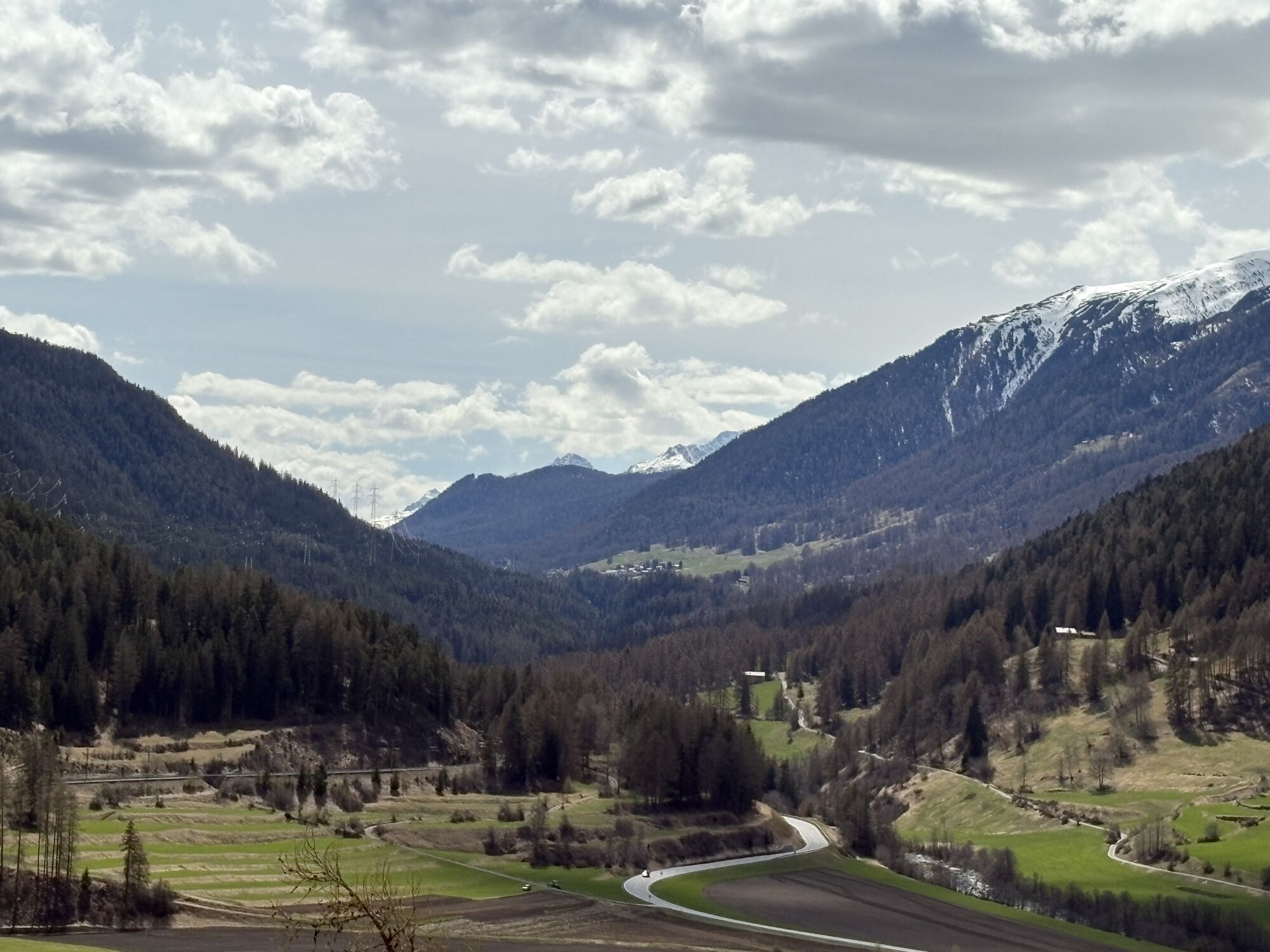
This is the "easiest" stage of the E-mountain bike route "National Park Region." It initially leads steadily to the right of the Inn, ascending and descending several times to Zernez, then on to Susch...
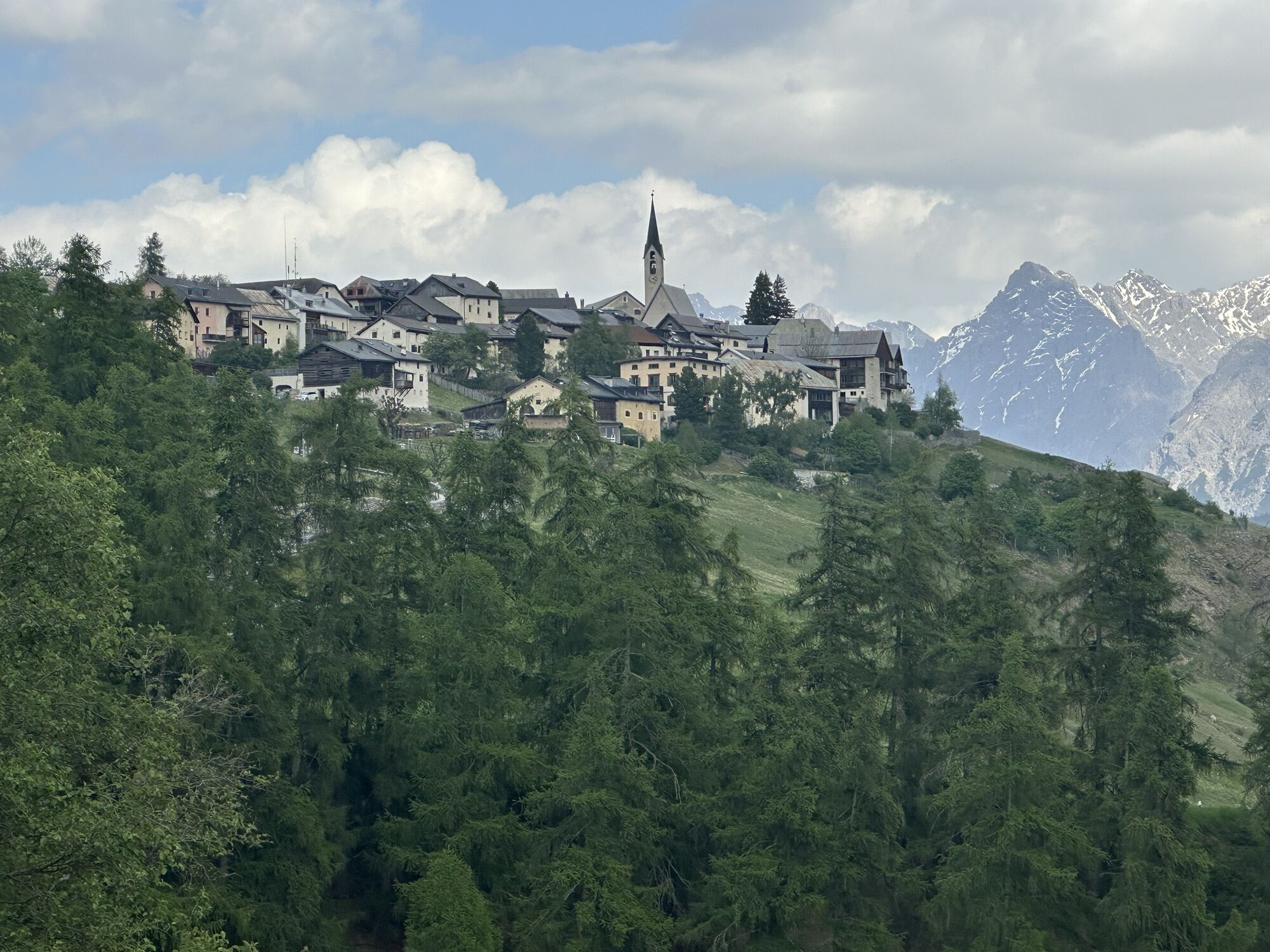
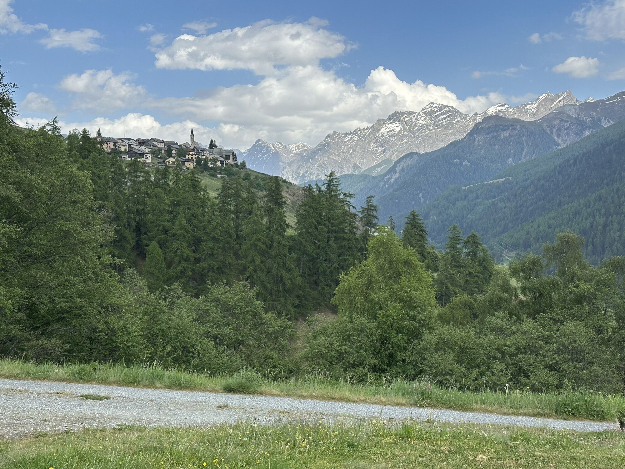
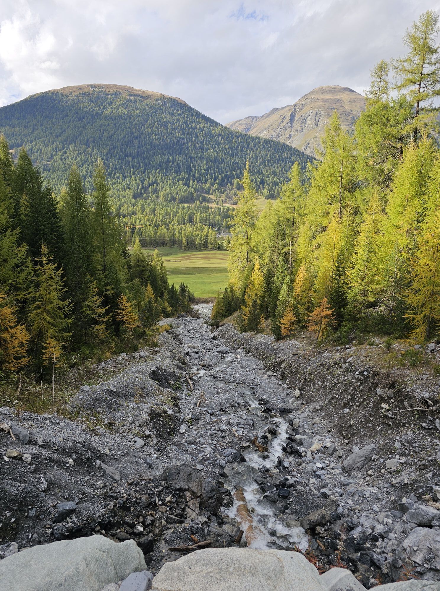
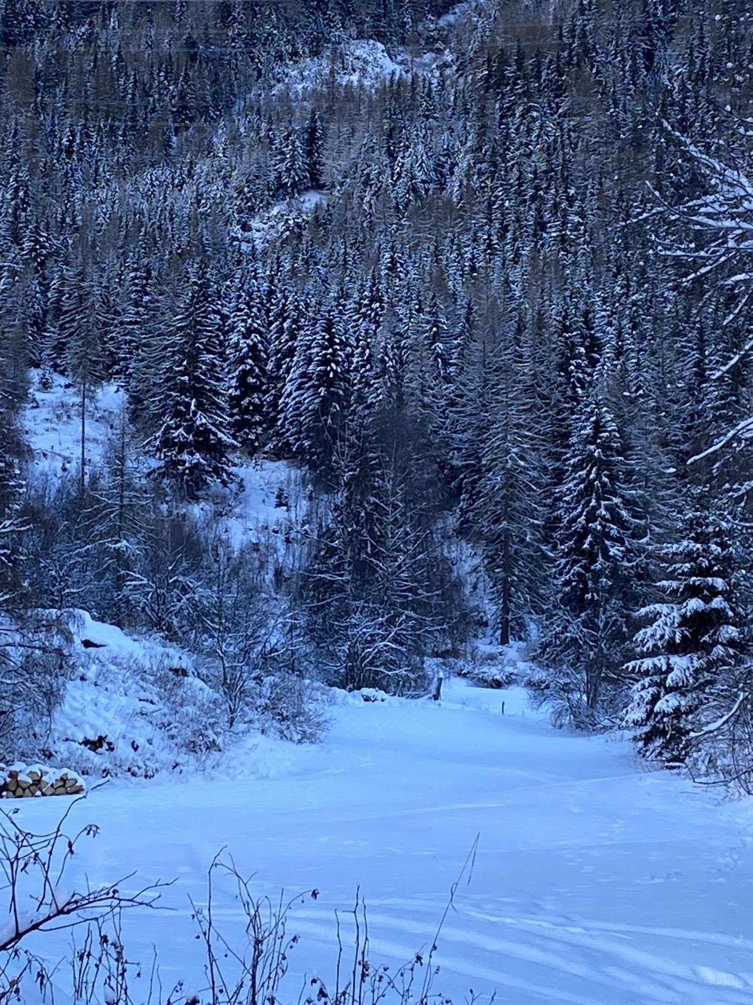
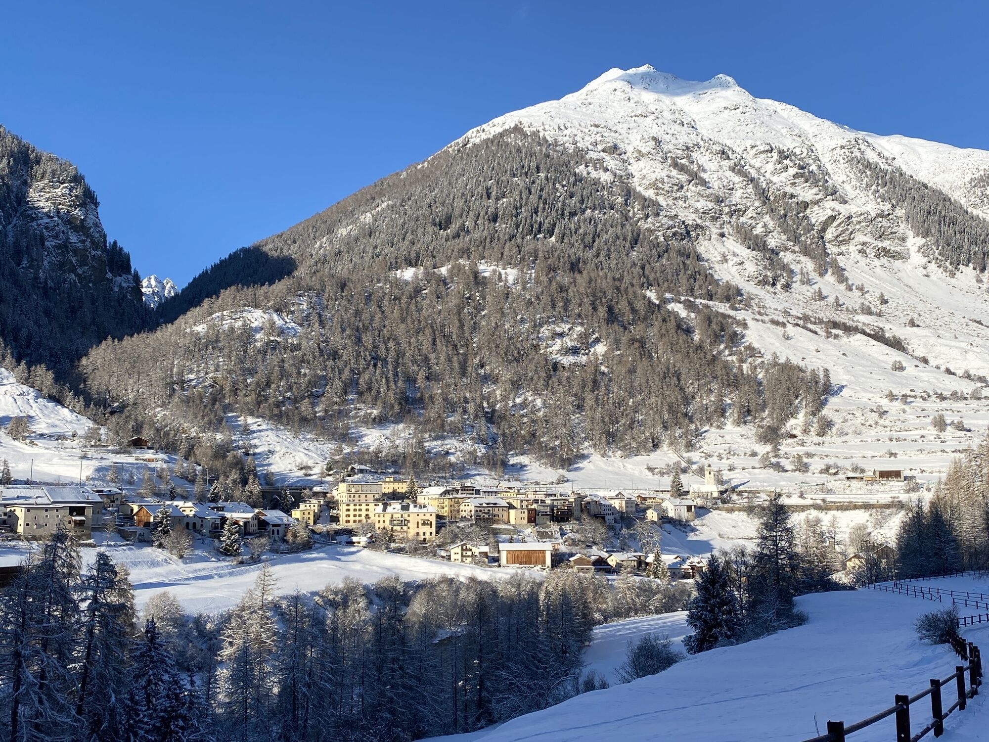
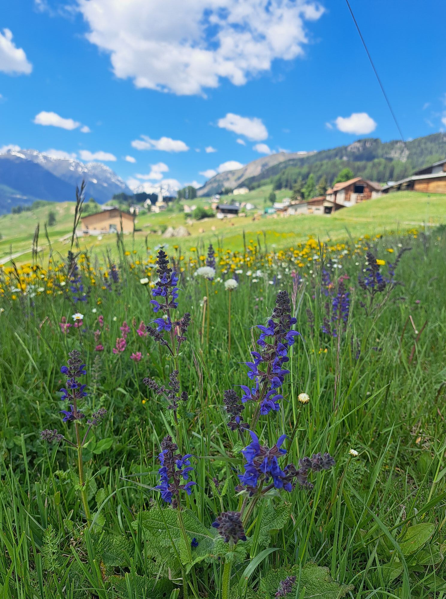
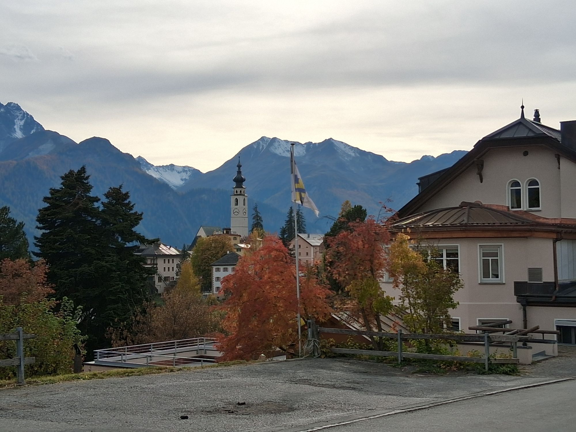
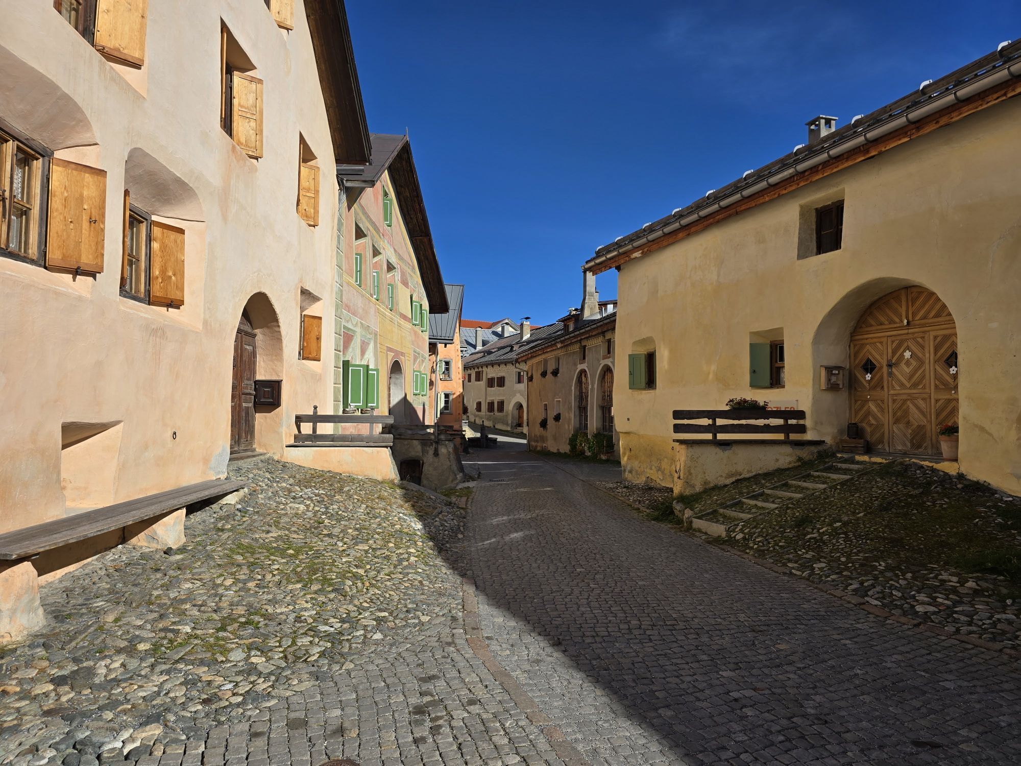
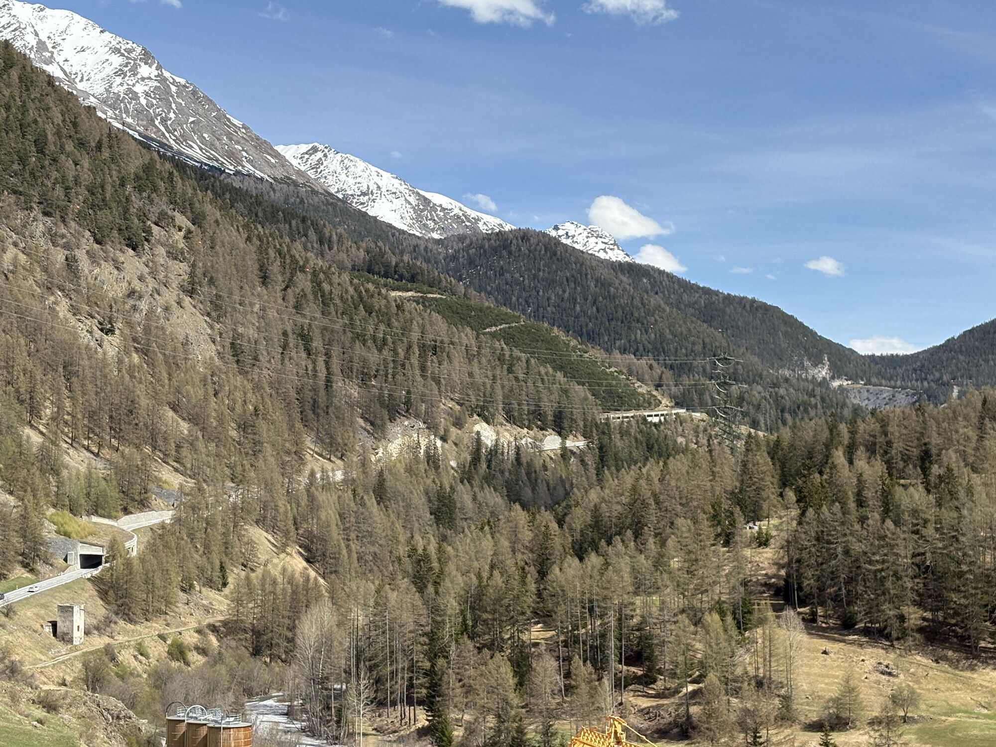
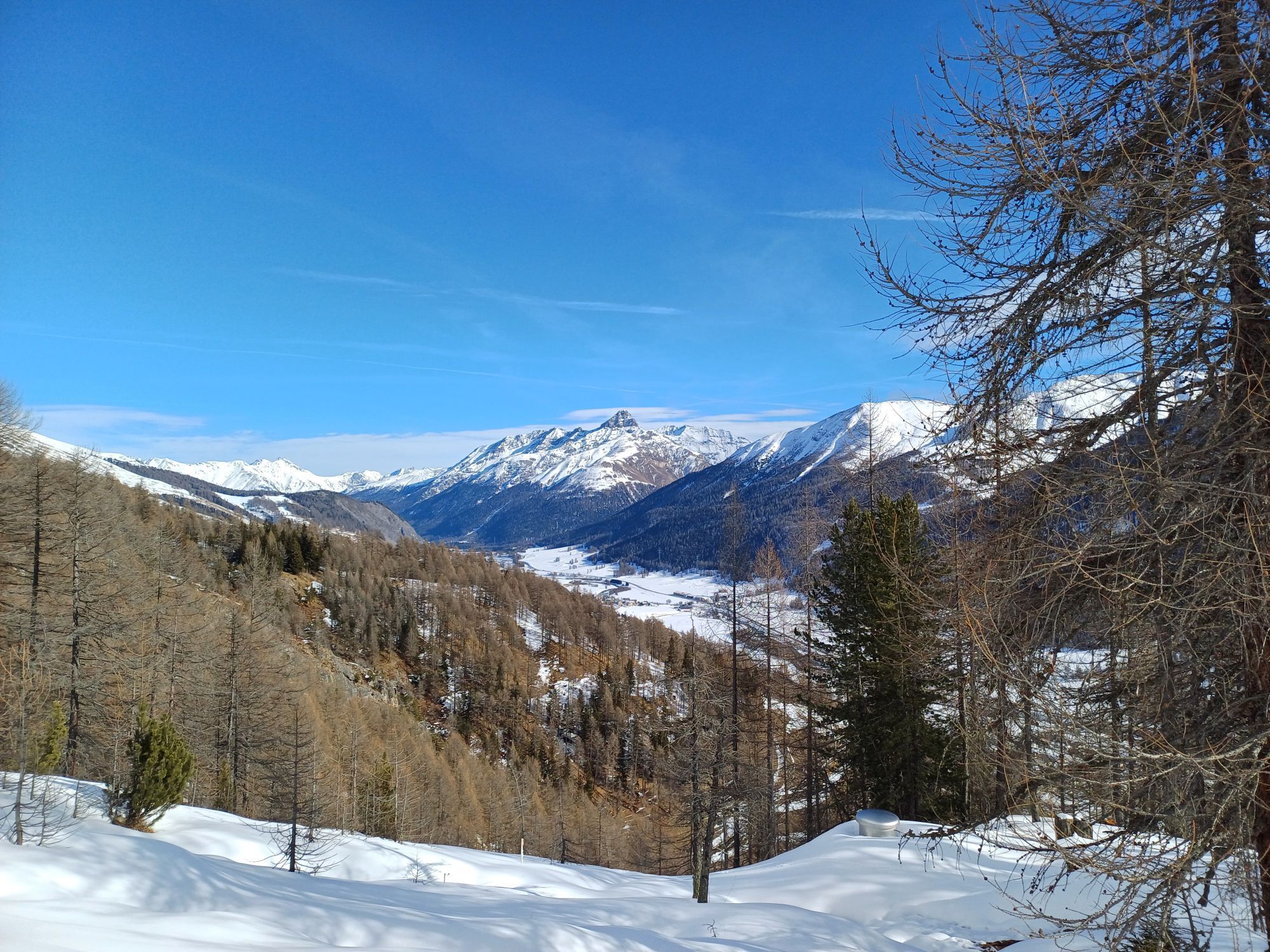
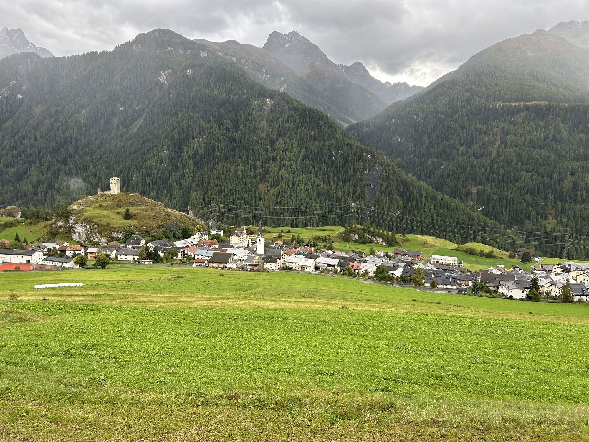
This is the "easiest" stage of the E-mountain bike route "National Park Region." It initially leads steadily to the right of the Inn, ascending and descending several times to Zernez, then on to Susch and Lavin. After crossing the Inn, there is a long but steady and pleasantly steep ascent to Guarda at 1653 m above sea level. Schellen-Urslis' hometown lies sun-soaked on a terrace and invites you to linger. From there to Bos-cha, the road is flat, followed by a short descent towards Ardez. Ardez is bypassed above, before the last climb over the ruins of Chanoua, past the valley entrance to Val Tasna, to Ftan is tackled. You regularly enjoy the wide view over Tarasp and Scuol to the Lower Engadine Dolomites. The final descent from Ftan to Scuol is occasionally a bit steep and requires some caution.

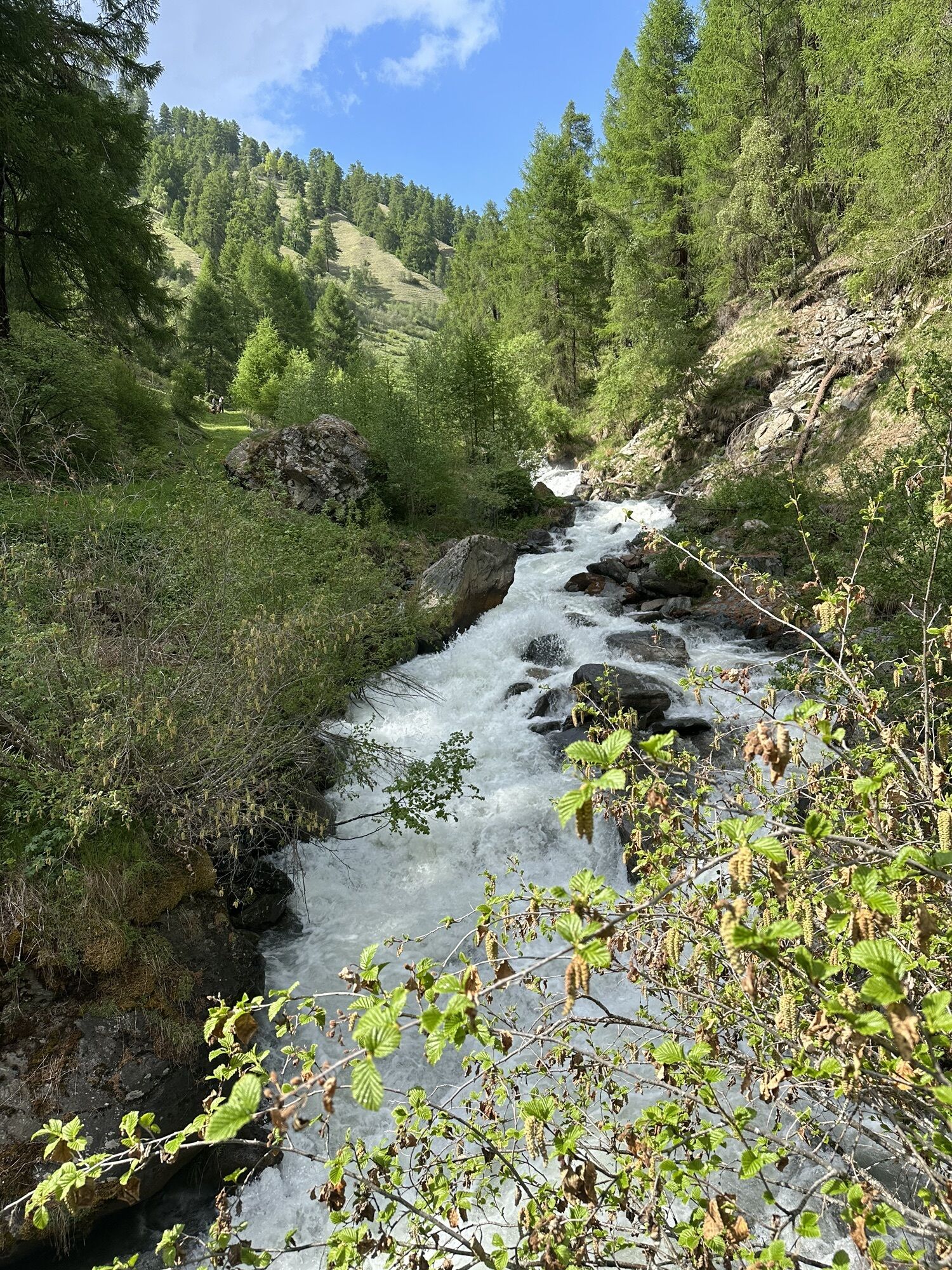
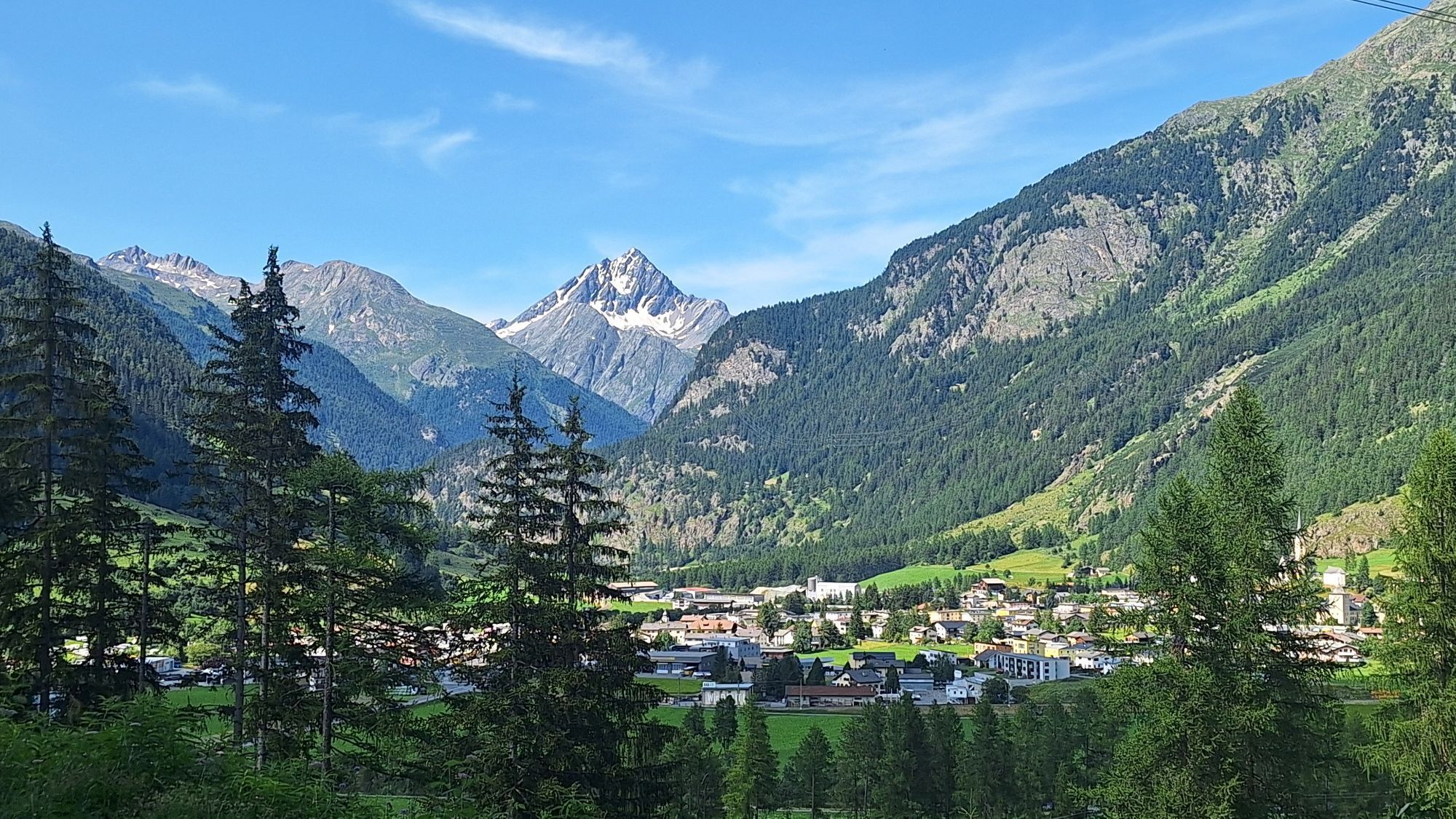
From Zuoz towards Val Trupchun/Flin or Zernez. Steadily to the right of the Inn, ascending and descending several times to Zernez. After the covered wooden bridge at Spöl, the Ofen Pass road is crossed and the short uphill section over Plej is mastered. Past the church, it goes back into the forest, following the Inn further to Susch and Lavin. After crossing the Inn in Lavin, the long ascent to Guarda follows. After Guarda, it is flat on the paved road until above Ardez. The village is bypassed on the left/hillside before the last climb over the ruins of Chanoua, past the valley entrance to Val Tasna, to Ftan is tackled. Through Ftan Grond and Ftan Pitschen to the final descent via Munclü to Scuol.
Tak
Helmet, gloves, good footwear, glasses, rain and sun protection, water bottle, repair kit, first aid kit.
The route was rated under favorable weather conditions; current weather conditions and forecasts must be strictly observed before starting the route. This tour does not require any special riding safety skills or technical riding ability.
Emergency call:
144 Emergency call, first aid
1414 Mountain rescue REGA
112 International emergency call
Please be considerate when crossing and overtaking hikers.
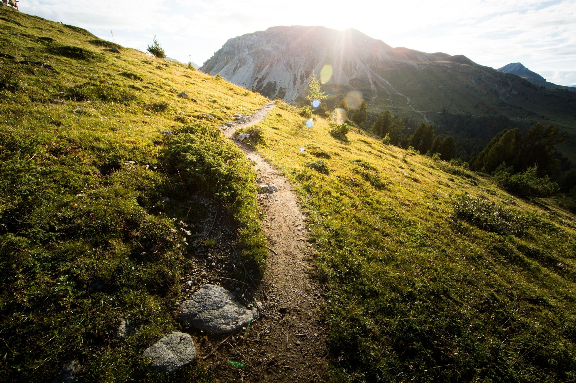
The Grisons mountain bike routes largely run on single trails, which are also signposted as hiking trails. Hikers generally have the right of way.
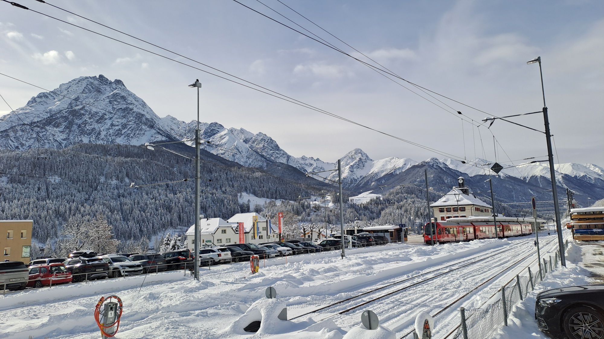
Zuoz lies directly on the Engadine road H27 (30 minutes drive from Vereina south portal)
By the Rhaetian Railway (from Chur, Landquart/Prättigau or from Lower Engadine) hourly to Zuoz
Paid public parking at the start and destination locations
S1
The E-mountain bike route "National Park Region" can be booked as a package including four stages with organized luggage transport. More information at engadin.com/bike-pauschalen.
Kamery internetowe z trasy
Motta Naluns
Scuol
Nationalparkzentrum Zernez
Bos-cha
Schloss Tarasp
Ftan Prui
Nationalparkzentrum Zernez
Zernez
Motta Naluns
Motta Naluns
Motta Naluns
Motta Naluns
Motta Naluns
Motta Naluns
Ftan
Zuoz
La Punt - Wasserreservoir
Zuoz - Engadin Golf
Bos-cha
Bos-cha
Bos-cha
Bos-cha
Nationalparkzentrum Zernez
Sent
Ftan
Tarasp - Engadin
Ardez - Engadin
Sent
Mot da Ri
Mot da Ri
Mot da Ri
Mot da Ri
Mot da Ri
Popularne wycieczki w okolicy
- 4,8
Jöriseen
średniWędrówka 11,3 km - 4,8
Circular hike Val Trupchun in the Swiss National Park
średniWędrówka 13,8 km - 4,8
National park: Zernez – Munt Baselgia – Macun lakes – Alp Zeznina – Lavin
ciężkiWędrówka 22,9 km - 4,0
National Park: Margunet
światłoWędrówka 7,76 km - 4,5
Tarasp Fontana – Sparsels – Lai Nair (circular route)
światłoWędrówka 7,67 km - 4,8
National Park: Grimmels (circular hike)
światłoWędrówka 6 km Flüelapass – Schwarzhorn (return)
średniWędrówka 7,92 km- 5,0
Fluela Schwarzhorn 3147 m
światłoWycieczka wysokogórska 7,34 km - 4,0
Prui – Piz Clünas – Alp Laret – Ftan
średniWędrówka 13,6 km National Park: Chamanna Cluozza
średniWędrówka 8,37 km
Wędrówki i tropienie


Nie przegap ofert i inspiracji na następne wakacje
Twój adres e-mail została dodana do listy mailingowej.