







Sentiago Loop: Motta Naluns – Sent – Sur En – Scuol
Poziom trudności: S2
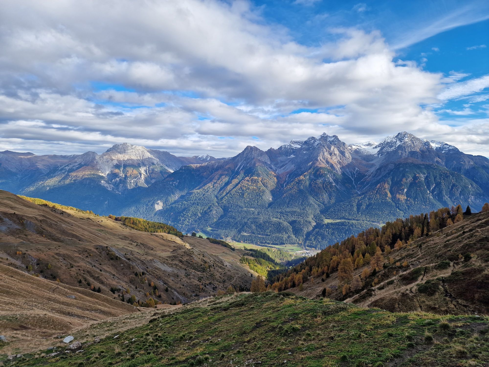
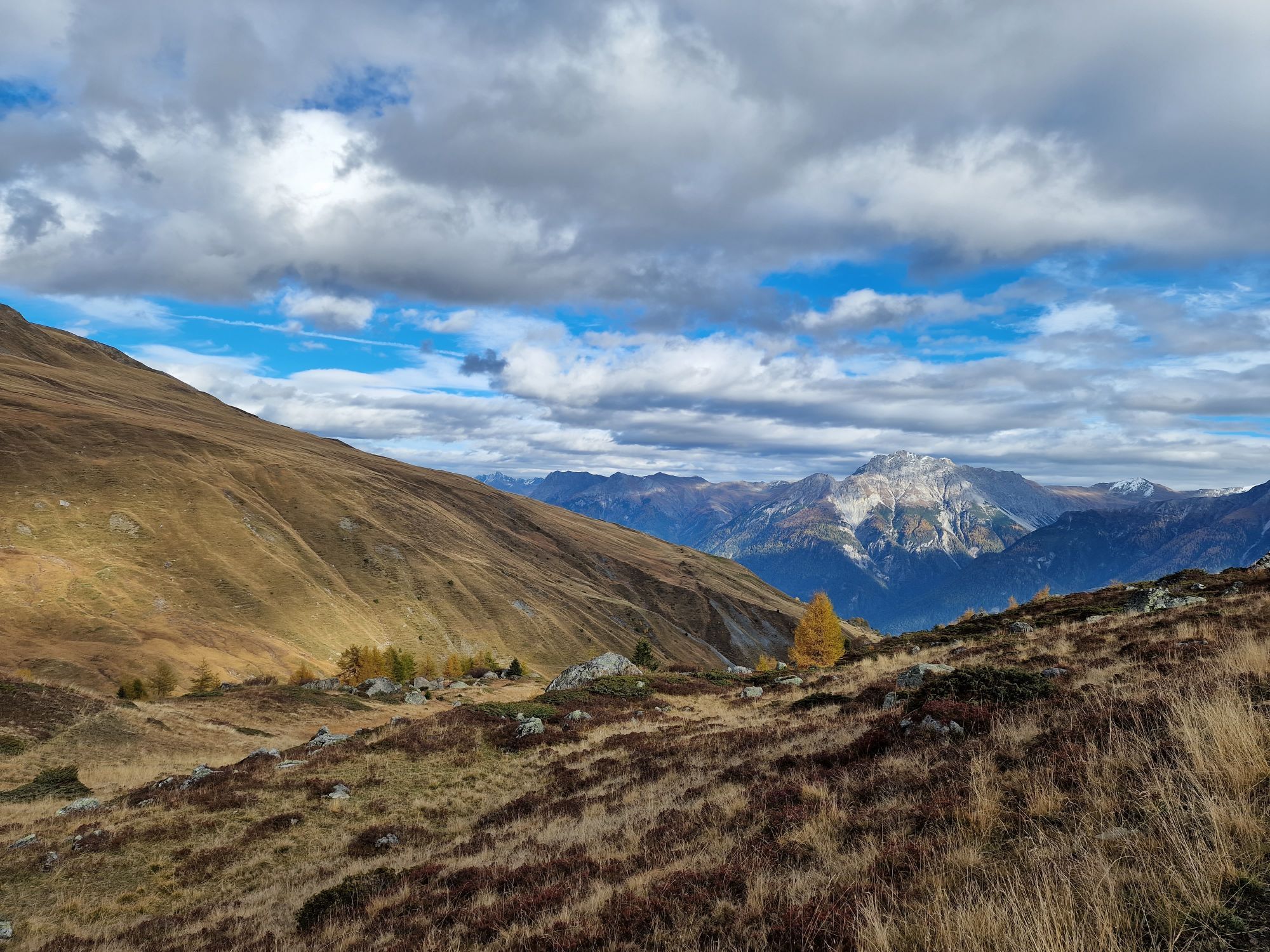
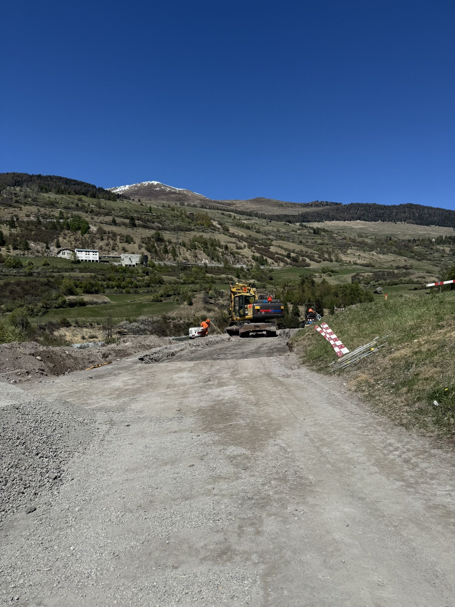
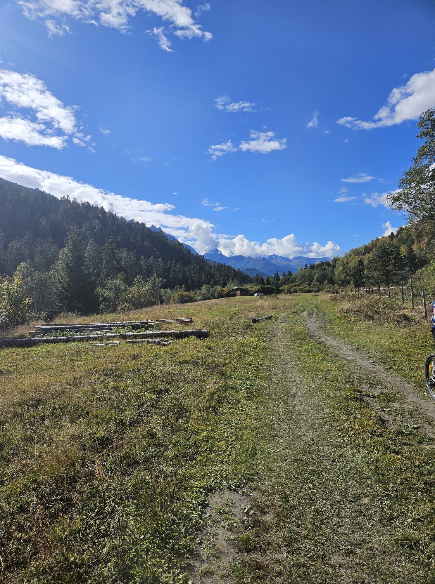
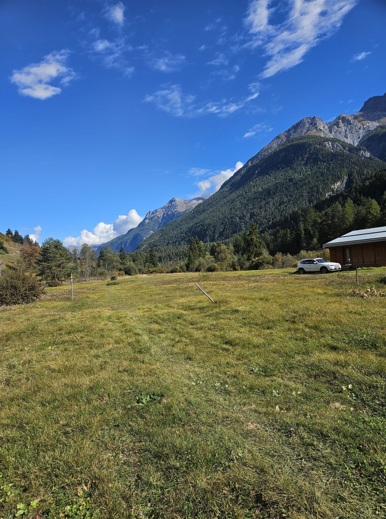
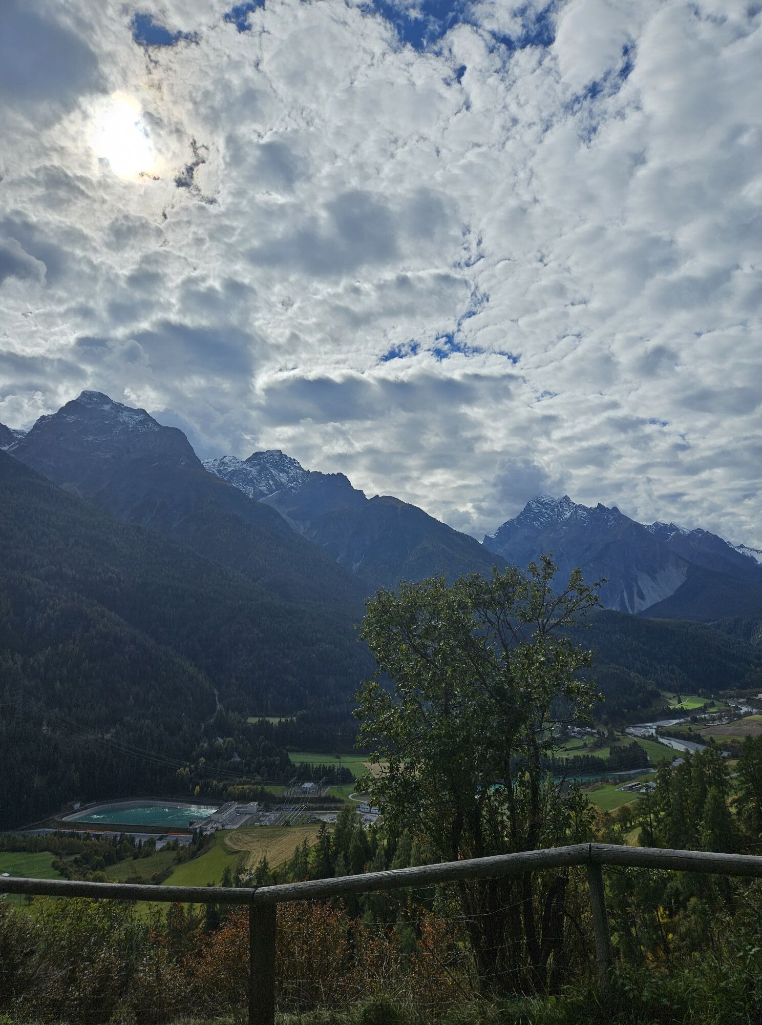
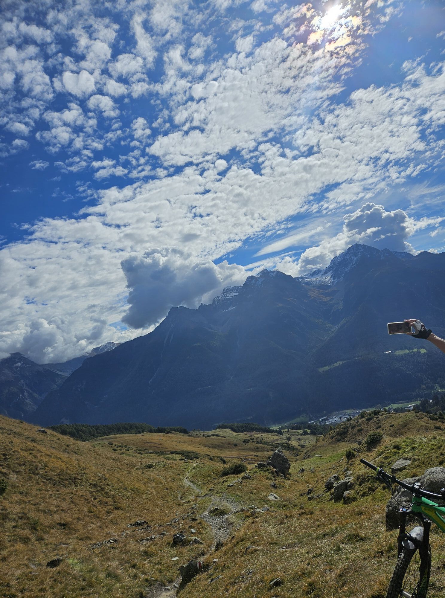
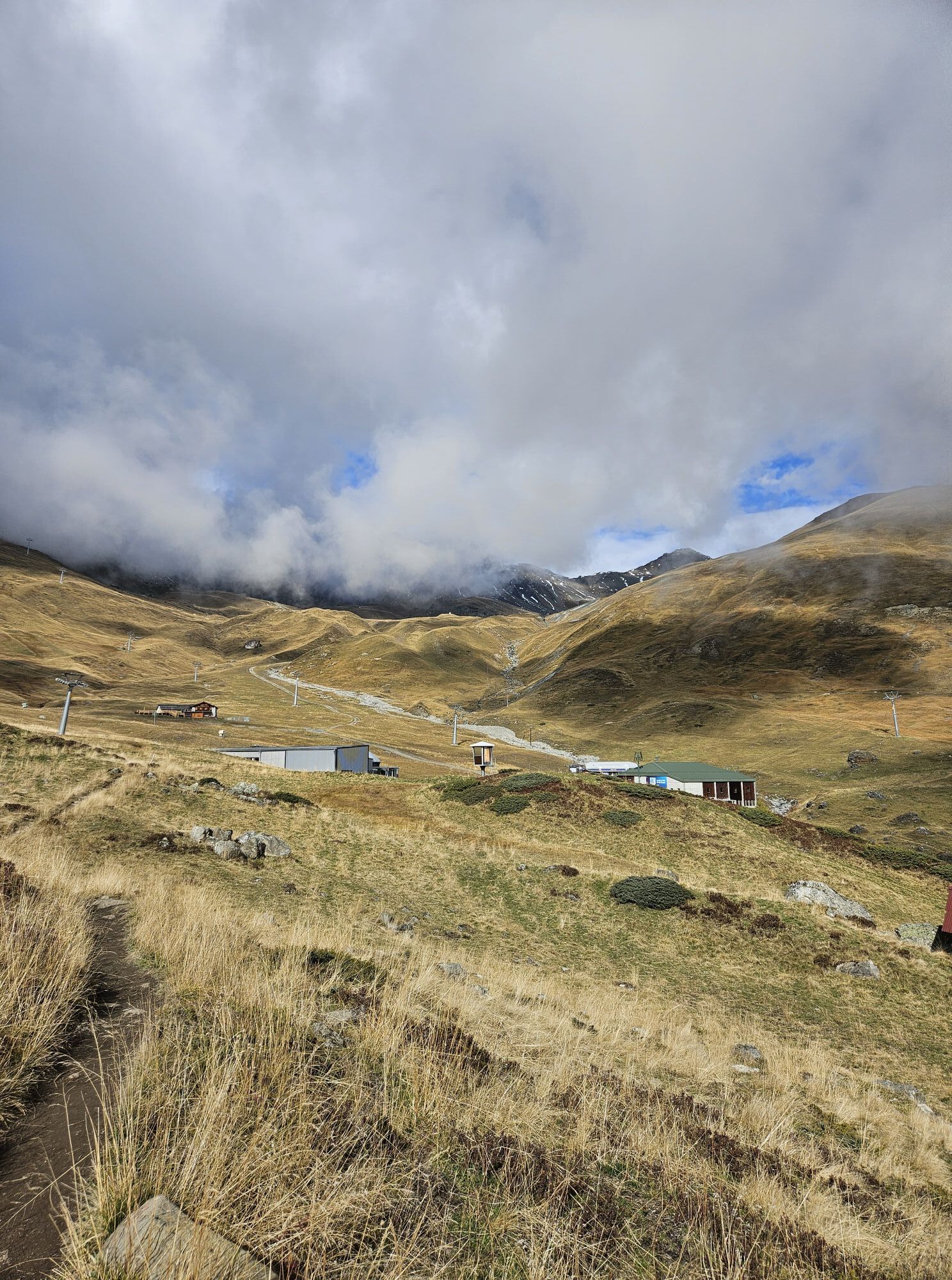
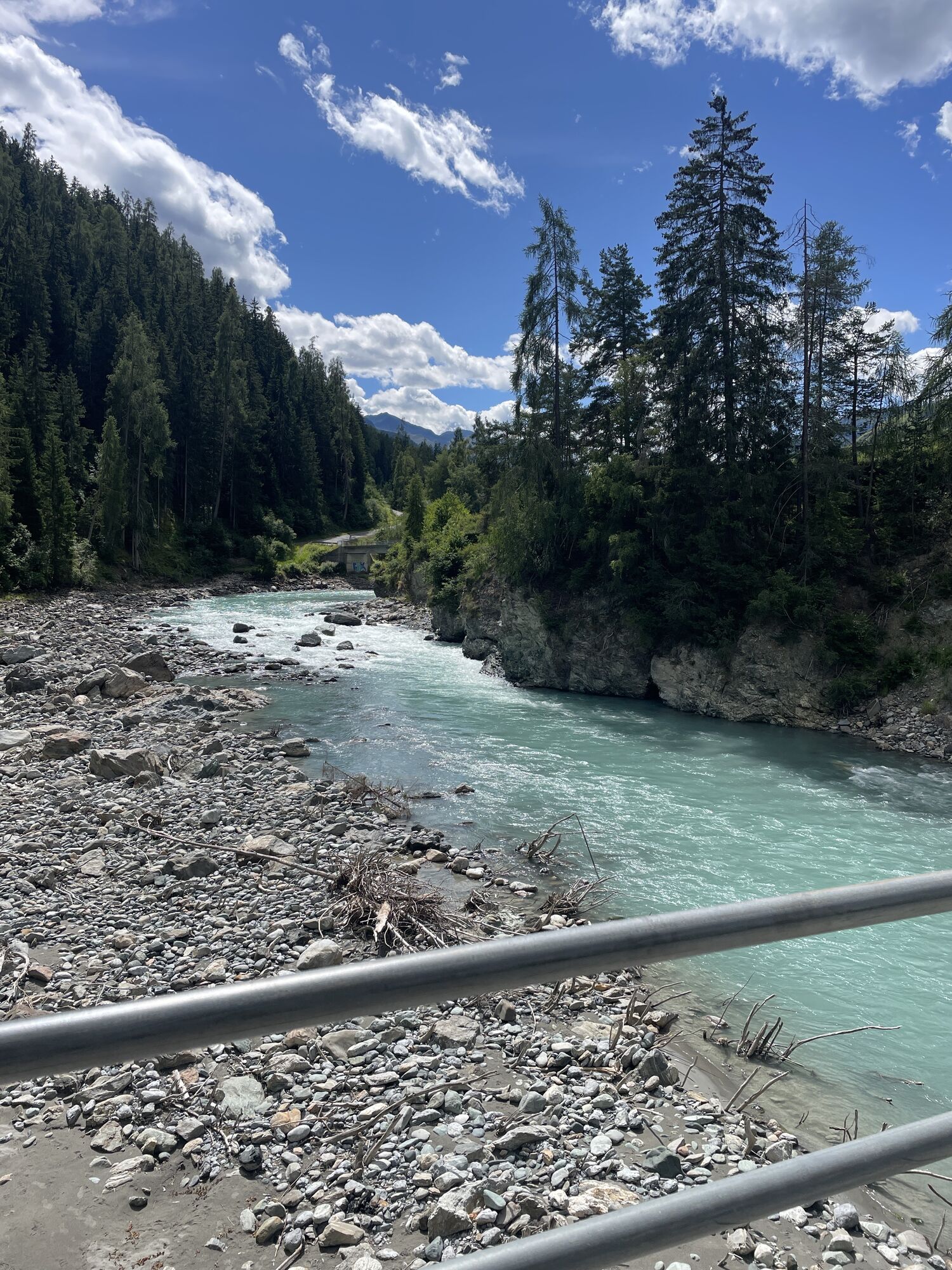
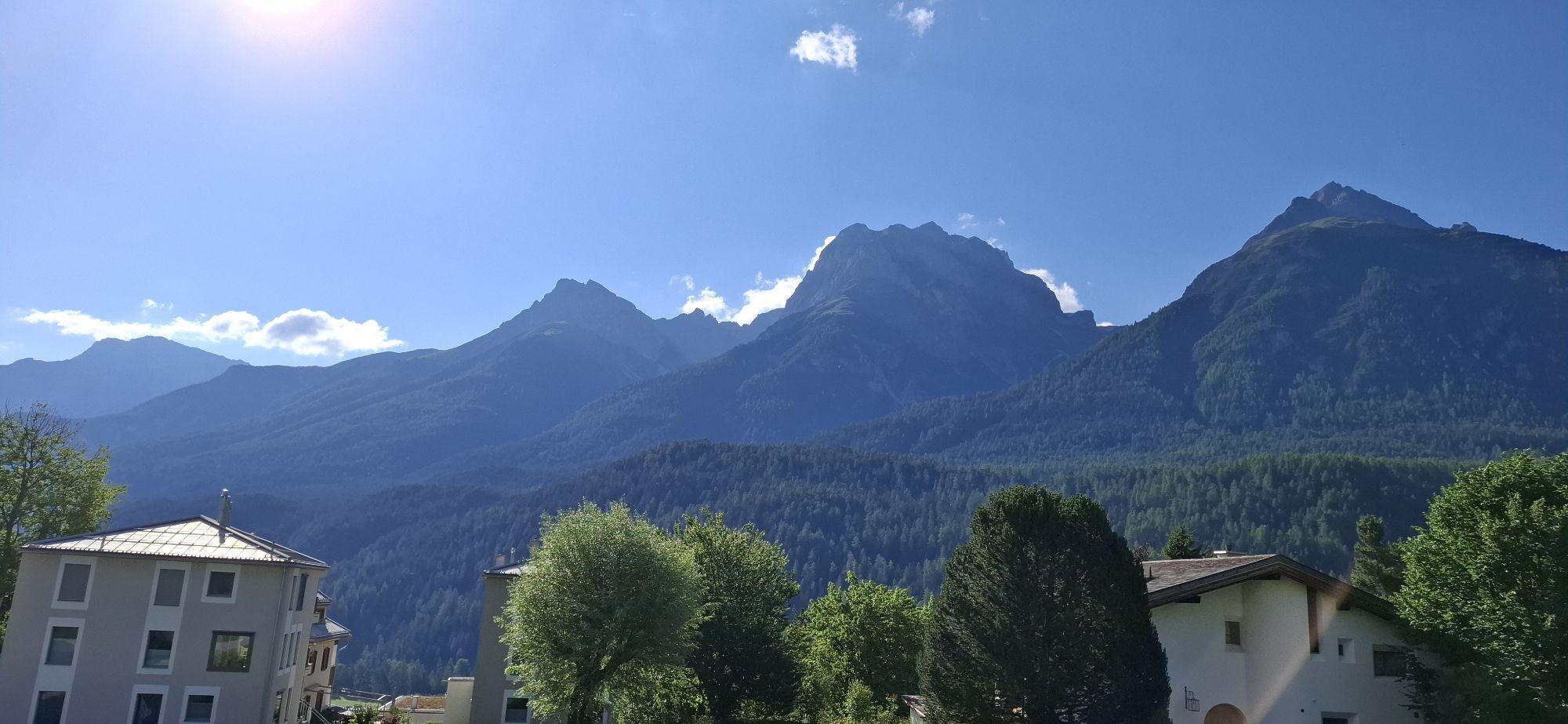
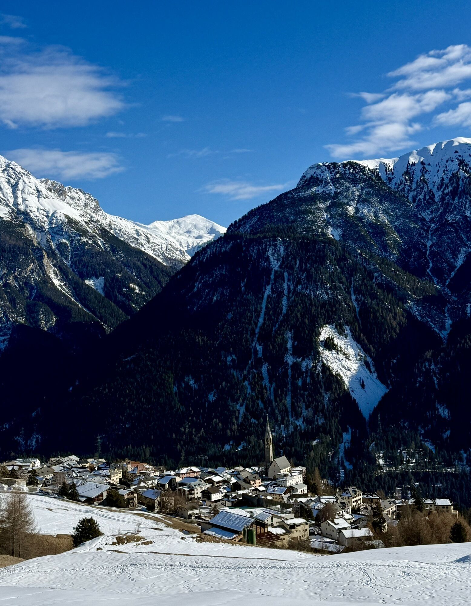
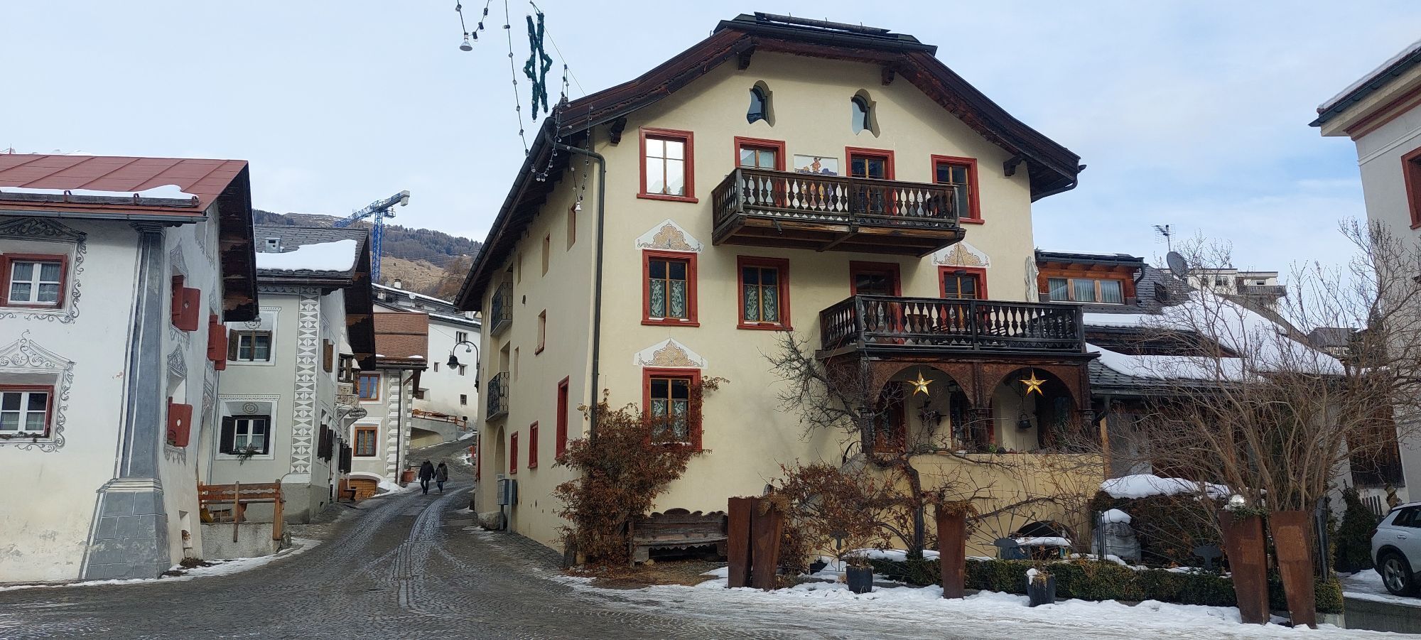
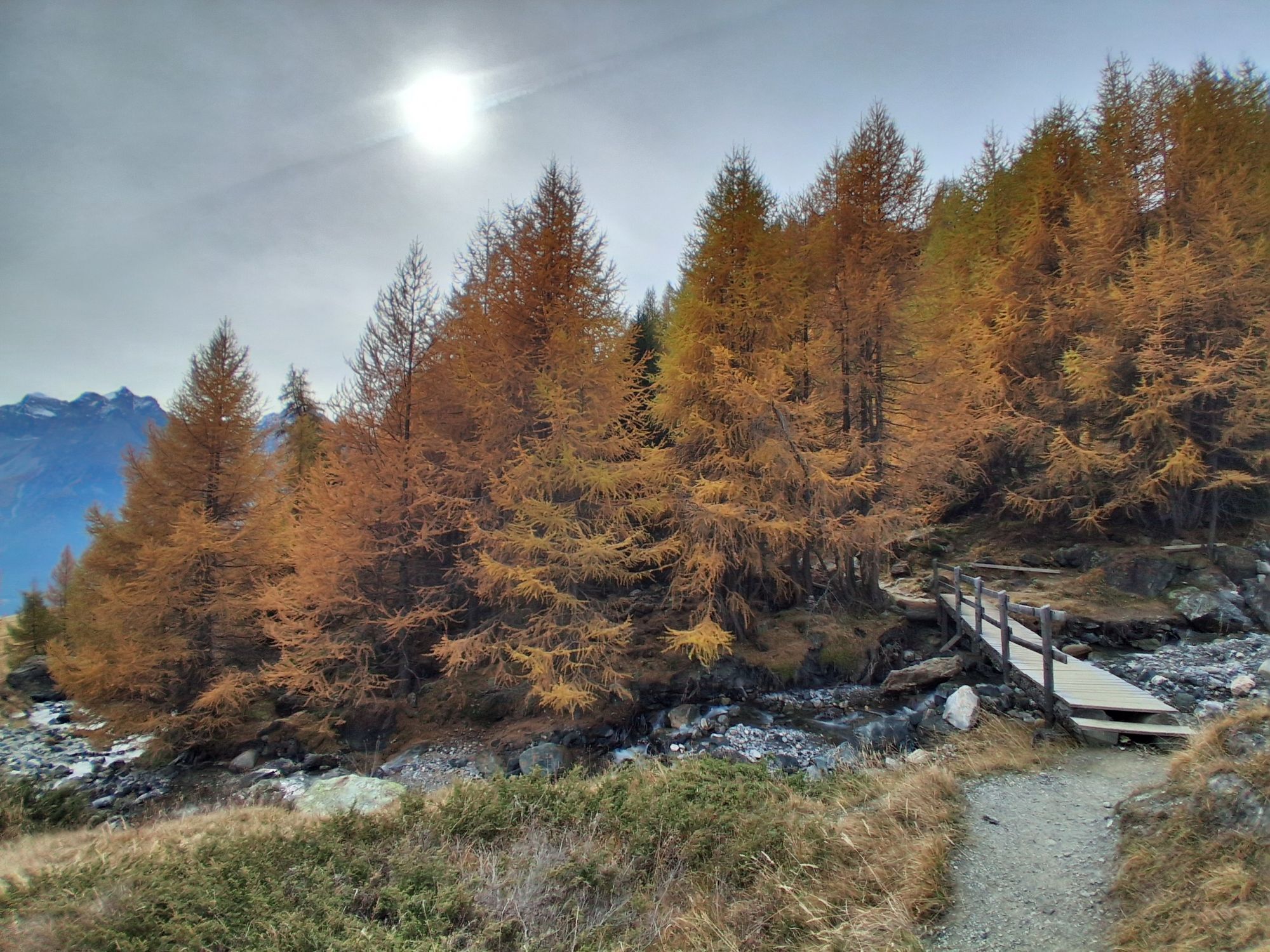
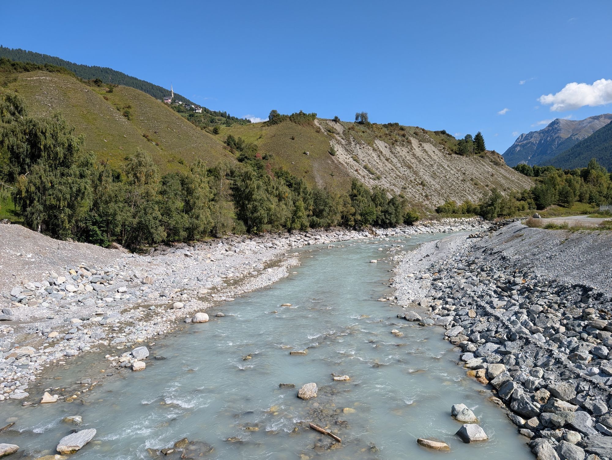
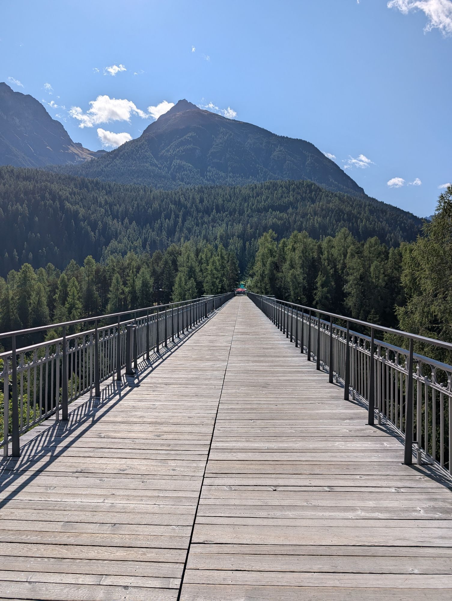
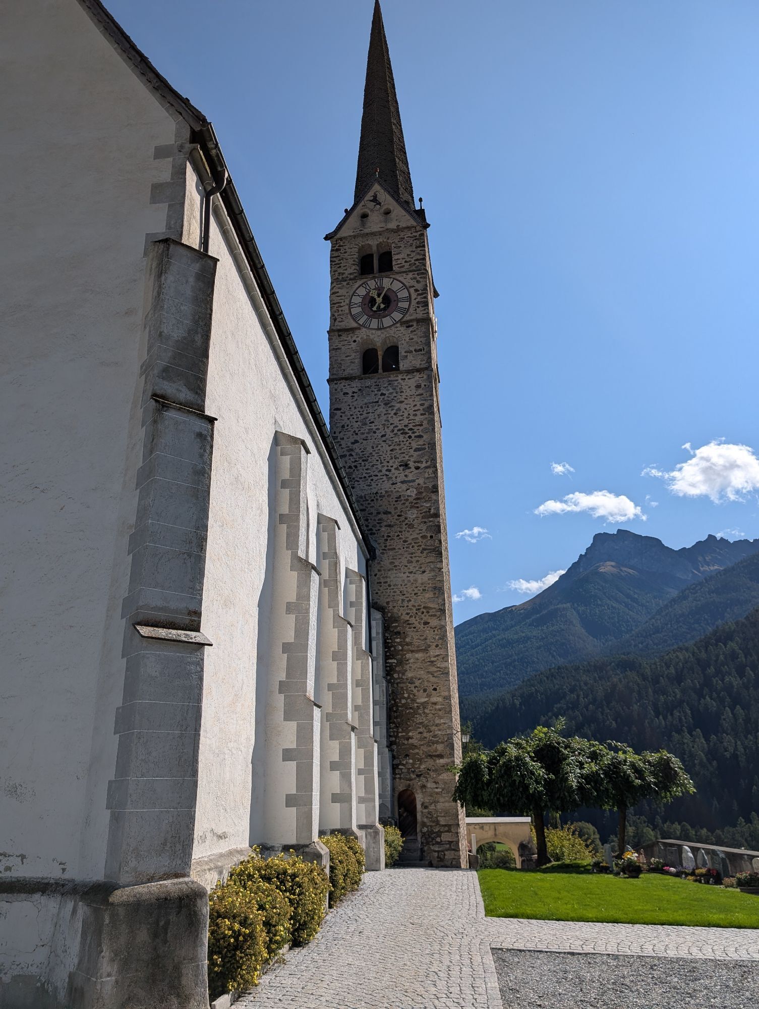
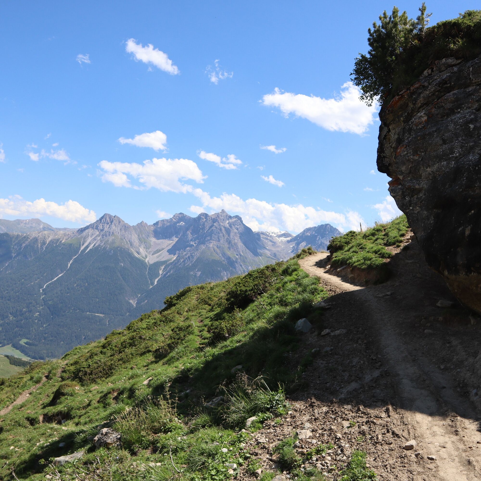
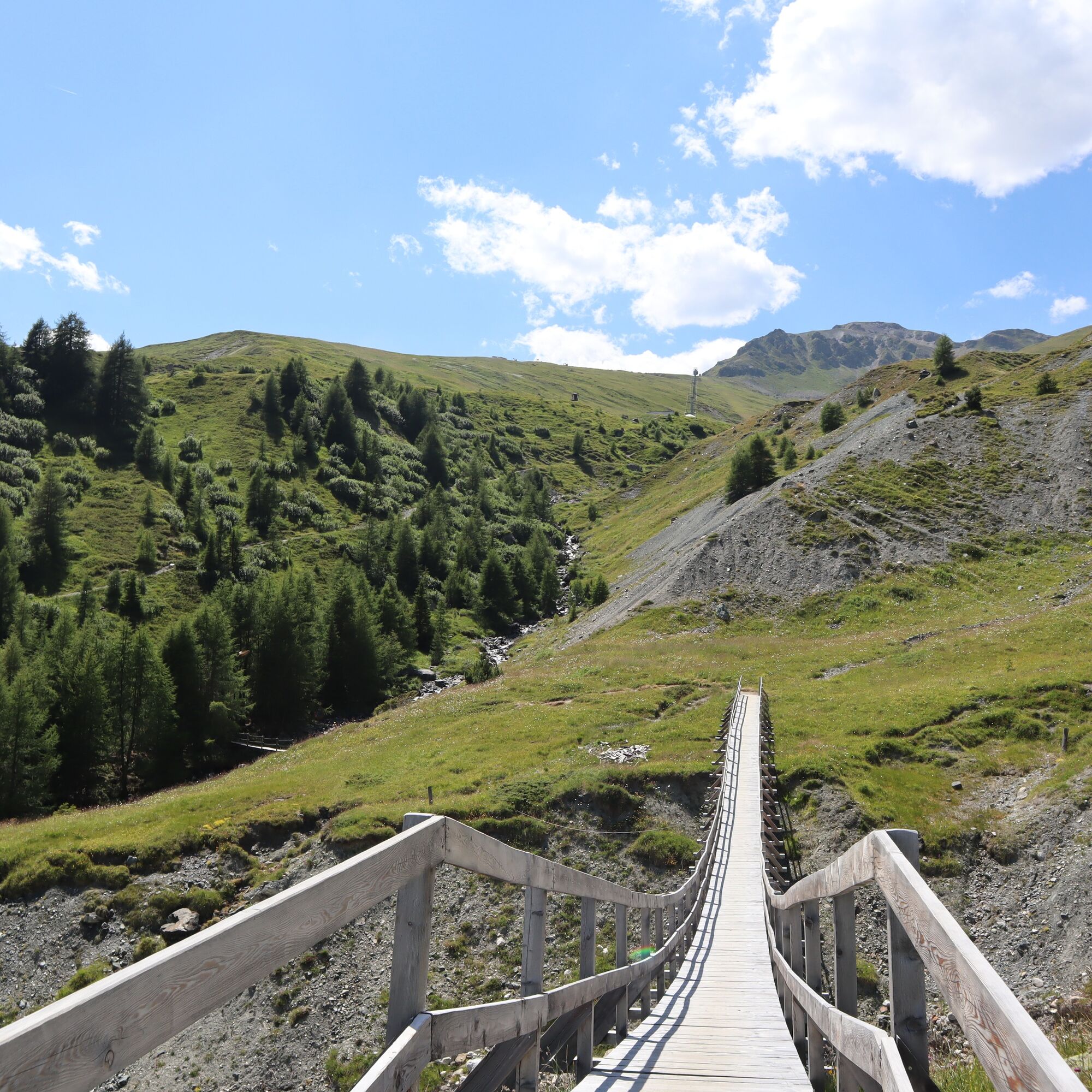
The route starts in the Motta Naluns ski area and shortly leads over a singletrail with small, steep ramps to Jonvrai. From Jonvrai follows a steep, rocky trail, over which you reach the beautiful wooden...
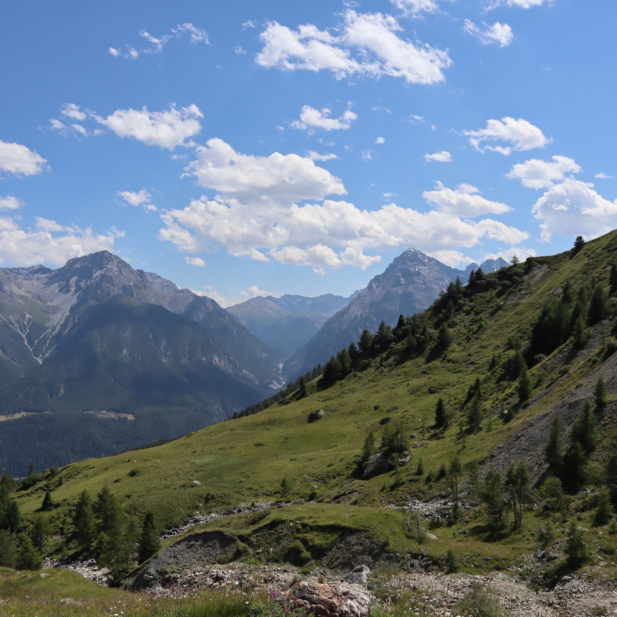
The route starts in the Motta Naluns ski area and shortly leads over a singletrail with small, steep ramps to Jonvrai. From Jonvrai follows a steep, rocky trail, over which you reach the beautiful wooden suspension bridge. Now follows a beautiful, flowing singletrail from the Val Clozza along the mountainside out to Salez. Afterwards, a sporty trail awaits you, which goes over sticks and stones to Vastur and then Sent.
Below Sent near Chavorgia awaits a challenge for lovers of hairpin turns and those who want to become one. Some hairpin turns are so tight that you can only master them by shifting the rear wheel. It is known that practice makes perfect, and on this section from Sent to the main road to Scuol, some exciting challenges await.
After crossing the main road, you reach the last section to Sur En. Again, a flowing section follows here, interrupted only by a small rock garden in the middle of this section to Sur En. Once you have crossed the bridge to Camping Sur En, it continues into the village of Sur En. Here you are led by a simple, well-maintained forest road to Pradella. The last section to Scuol goes along the forest road by the Inn.

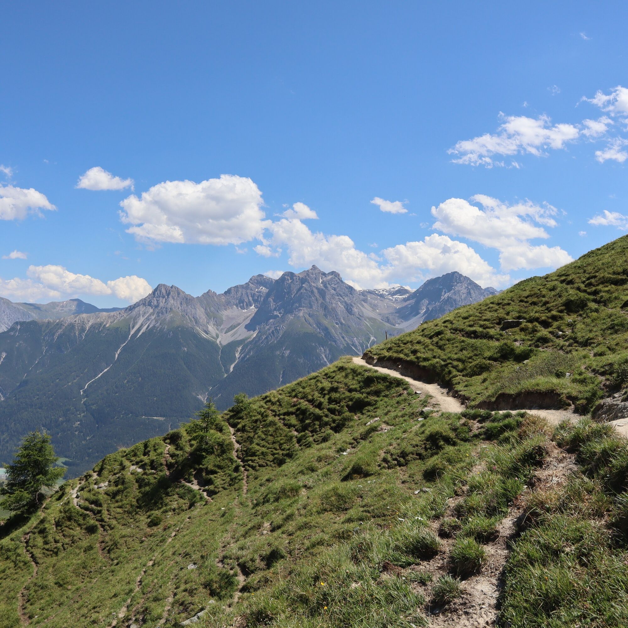
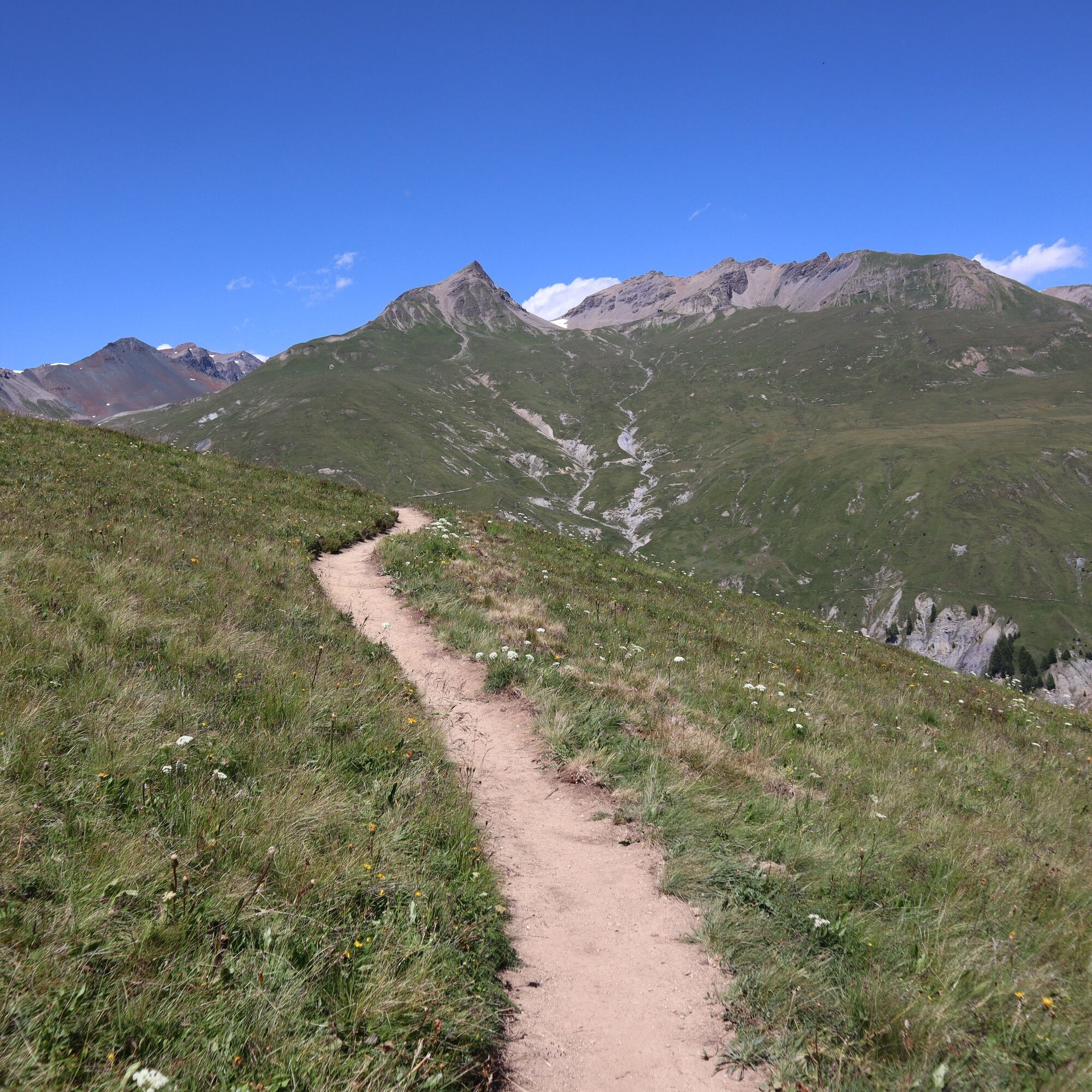

Start at the valley station Motta Naluns
Ride over singletrail to Jonvrai
From Jonvrai, a beautiful straight trail to Salez
From Salez follows a downhill trail to Vastur
From Vastur forest road to Sent
From Sent a zig-zag trail and rocky path to Sur En
After the Sur En bridge, an easy field path to Scuol
Helmet, gloves, good footwear, glasses, rain and sun protection, water bottle, repair kit, first aid kit
The route was rated under favorable weather conditions, the current weather conditions and forecasts must be strictly observed before starting the ride. This tour requires a high level of riding safety, balance, and technical skill. There are some large stones and roots on the trail located near drop-offs – caution is advised.
Emergency numbers:
144 Emergency call, first aid
1414 Mountain rescue REGA
112 International emergency number
From the north: via Landquart – Klosters by car shuttle through the Vereina tunnel (Selfranga - Sagliains) or via Flüelapass to the Lower Engadin on H27
From the east: via Landeck / Austria towards St. Moritz on H27
From the south: via Reschenpass (Nauders-Martina) or Ofenpass (Val Müstair-Zernez) on H27
Scuol is directly on the Engadin road H27 (20 minutes drive from Vereina south portal)
By the Rhaetian Railway (from Chur, Landquart/Prättigau or from Upper Engadin) hourly to Scuol-Tarasp
By PostAuto (from Martina, Sent, Ftan or Tarasp) hourly to Scuol-Tarasp station
Paid parking spaces at the station and near the mountain railways in Scuol
Free parking spaces in Porta and Punt (Scuol Sot)
S2
Be considerate when crossing and overtaking hikers. The mountain bike routes in Graubünden run largely on singletrails, which are also signposted as hiking trails. Hikers generally have the right of way.
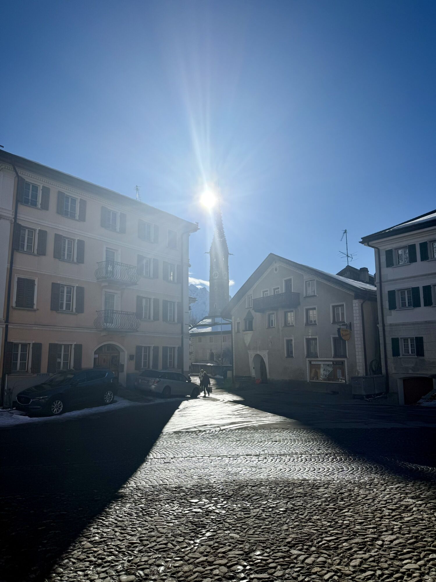
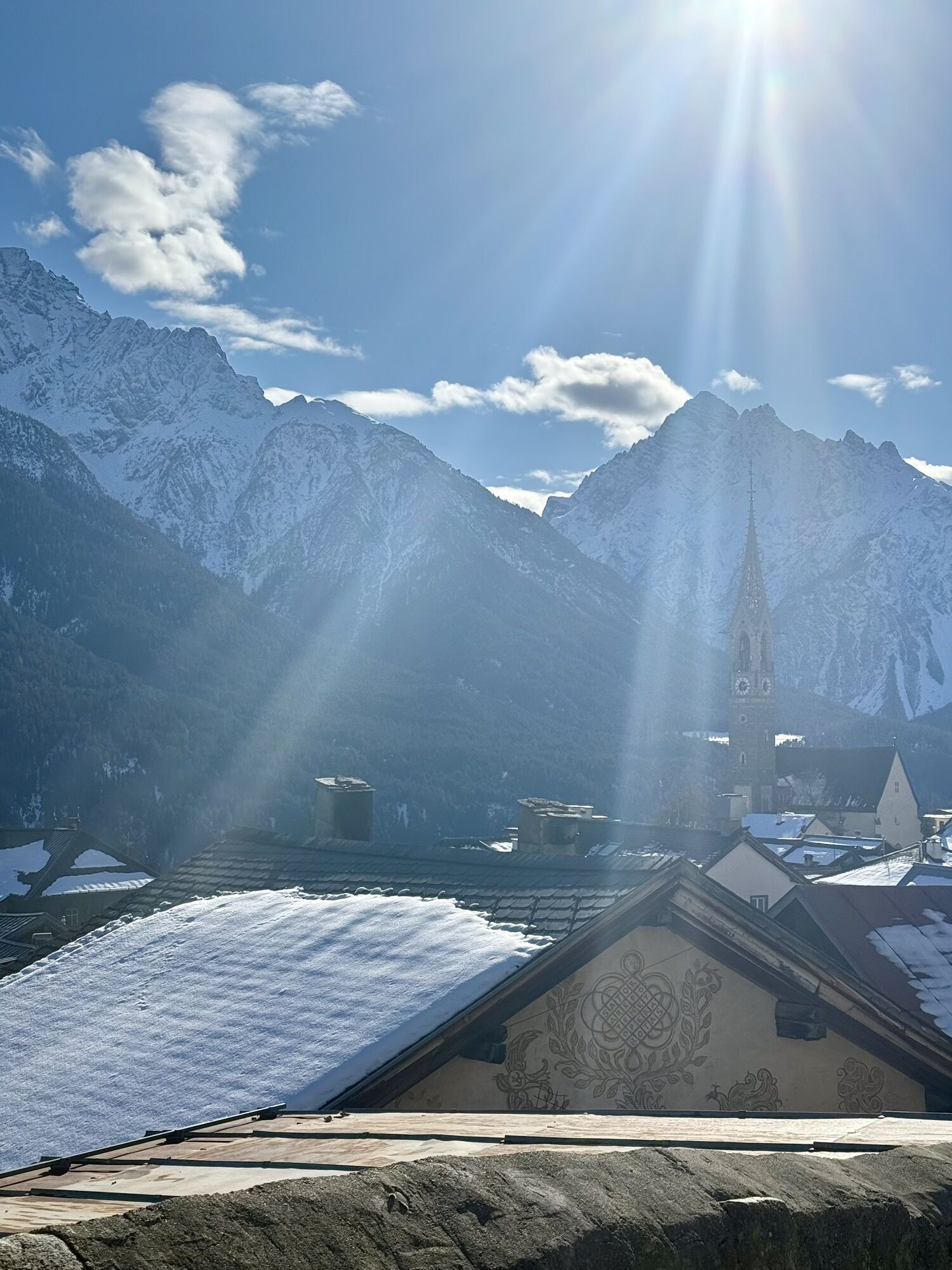
Both in Sent and Sur En a short stop is worthwhile to experience the charm of the Engadin village. In addition, the local restaurants invite you to refresh yourself.
Kamery internetowe z trasy
Uzyskaj wgląd
Zawsze na żywo z ponad 9 500 kamer internetowych. bergfex Jako użytkownik Pro, możesz teraz zobaczyć odpowiednie kamery internetowe dla wielu wycieczek w aplikacji wycieczki od. Pozwala to na bezpośredni podgląd aktualnych warunków.
Popularne wycieczki w okolicy
-
4,2
Panoramaweg Schöneben Haider Alm
światłoWędrówka 5,78 km -
5,0
Samnaun Dorf – Muttler
ciężkiWędrówka 14,8 km -
4,5
Tarasp Fontana – Sparsels – Lai Nair (circular route)
światłoWędrówka 7,67 km -
5,0
3 Länder Tour Uinaschlucht MTB
ciężkiMountainbike 74,6 km -
4,7
Bergwanderung Schlinig -Seswenahütte
średniWędrówka 13,6 km -
5,0
San Jon – Chamonna Lischana (return)
średniWędrówka 12,0 km -
Nauders: Schweiz-Runde
Mountainbike 32,6 km -
4,0
Prui – Piz Clünas – Alp Laret – Ftan
średniWędrówka 13,6 km -
5,0
National Park: Mot Tavrü
średniWędrówka 12,0 km -
5,0
Piz Lad
średniWycieczka wysokogórska 6,67 km
Wędrówki i tropienie


Nie przegap ofert i inspiracji na następne wakacje
Twój adres e-mail została dodana do listy mailingowej.





