


Alta Tensione Trail
Poziom trudności: S2
The high voltage lines that run through Valposchiavo are an unavoidable concession to modern life. Life without electricity would be unthinkable. But instead of ignoring the pylons and cables, the "Alta...
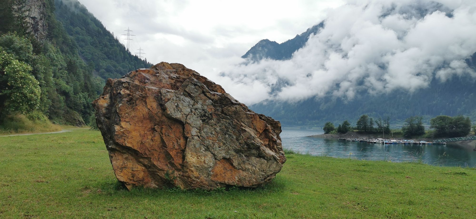
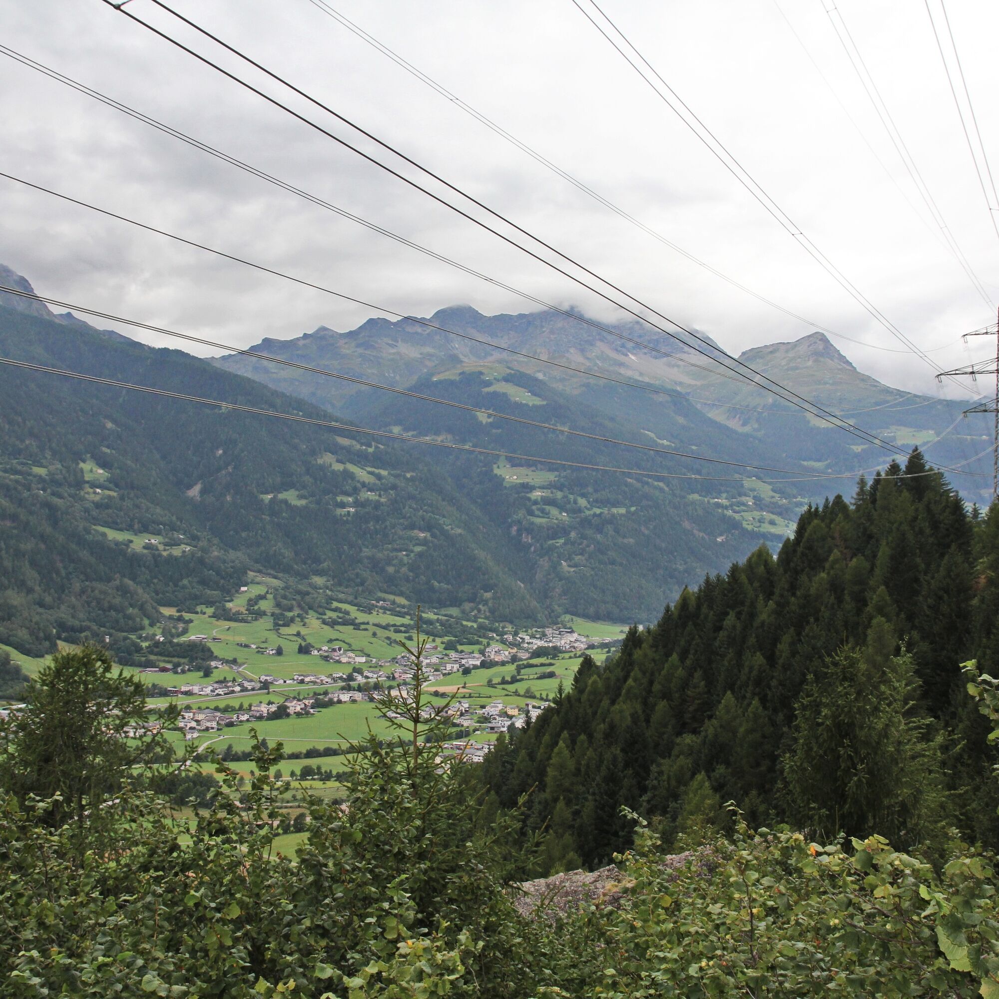
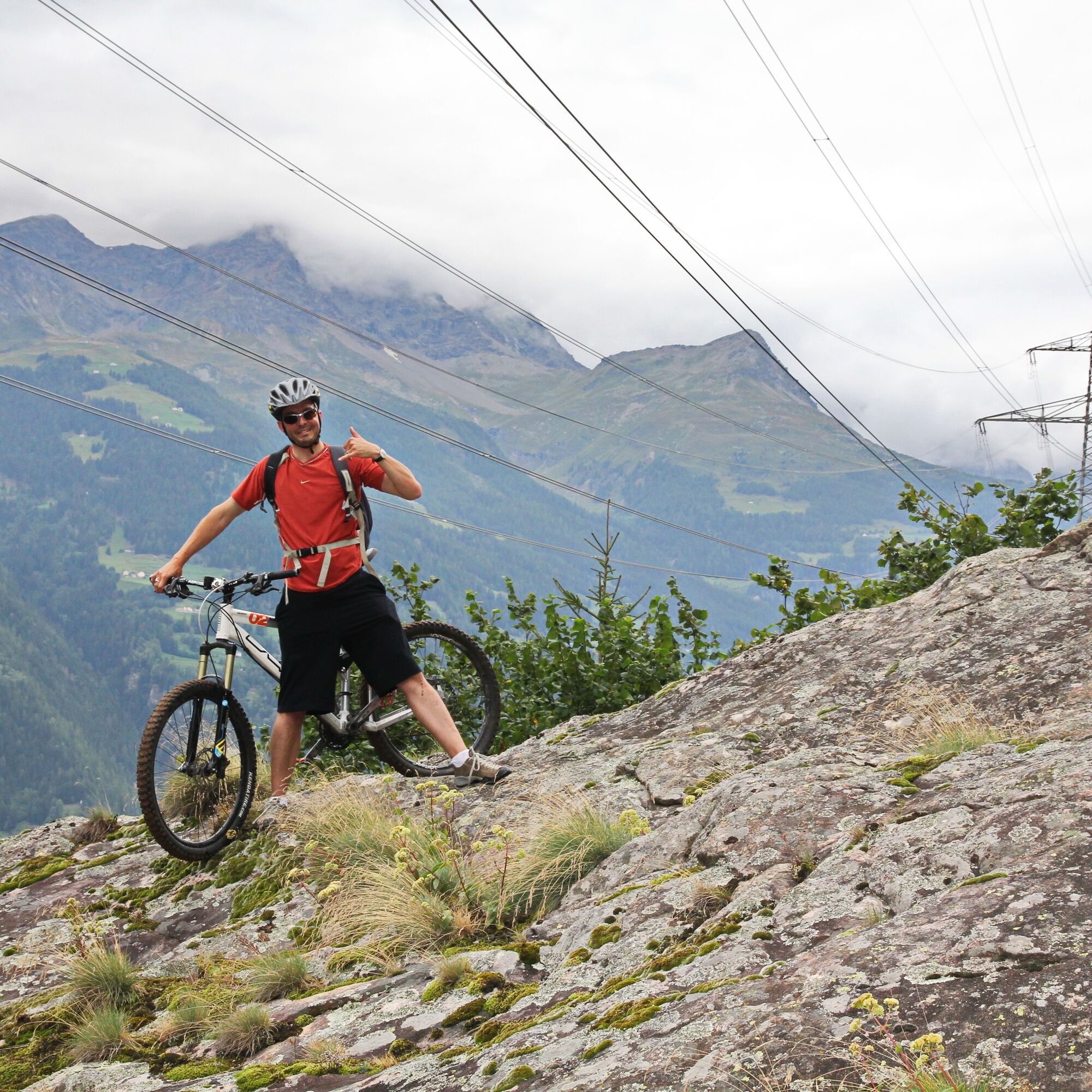
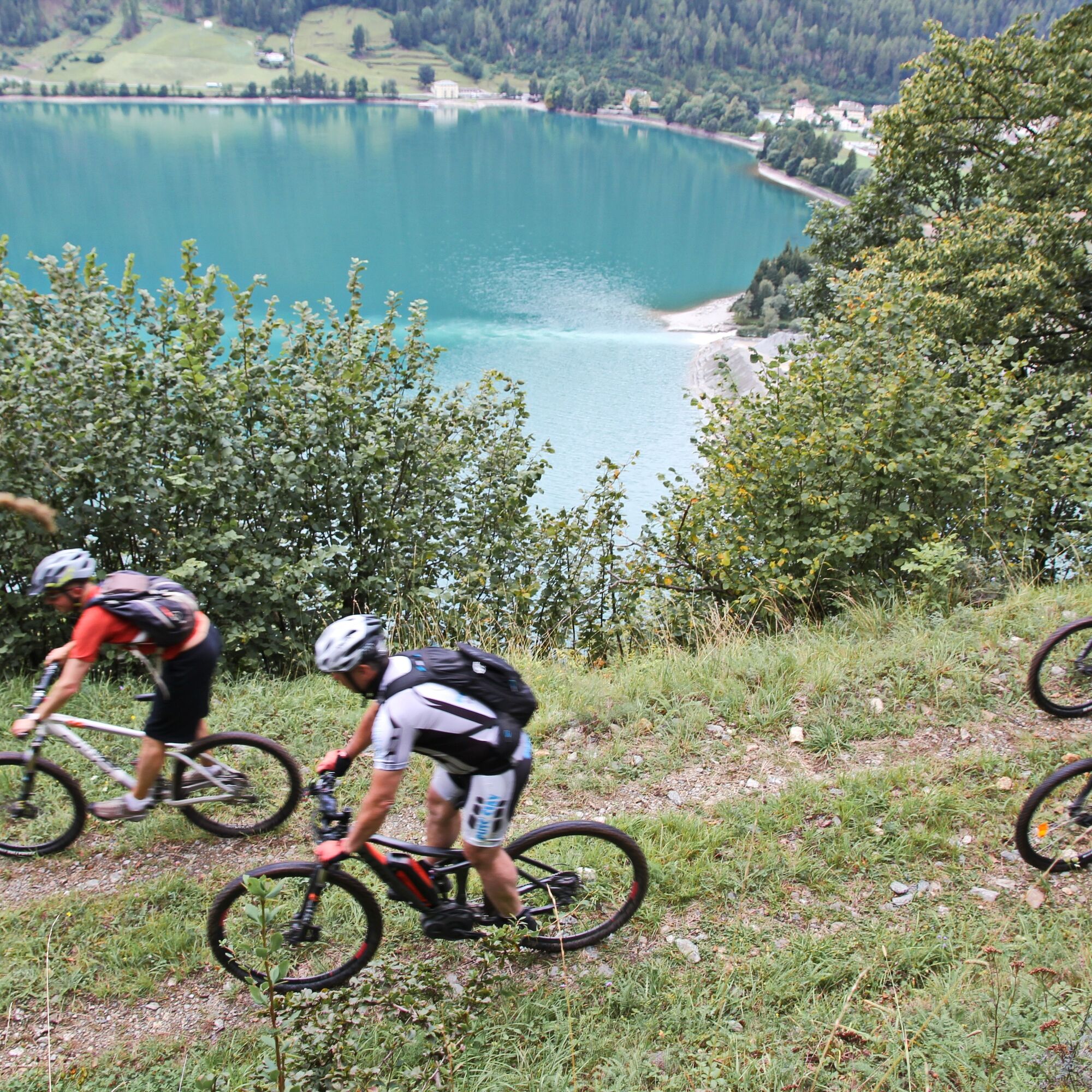
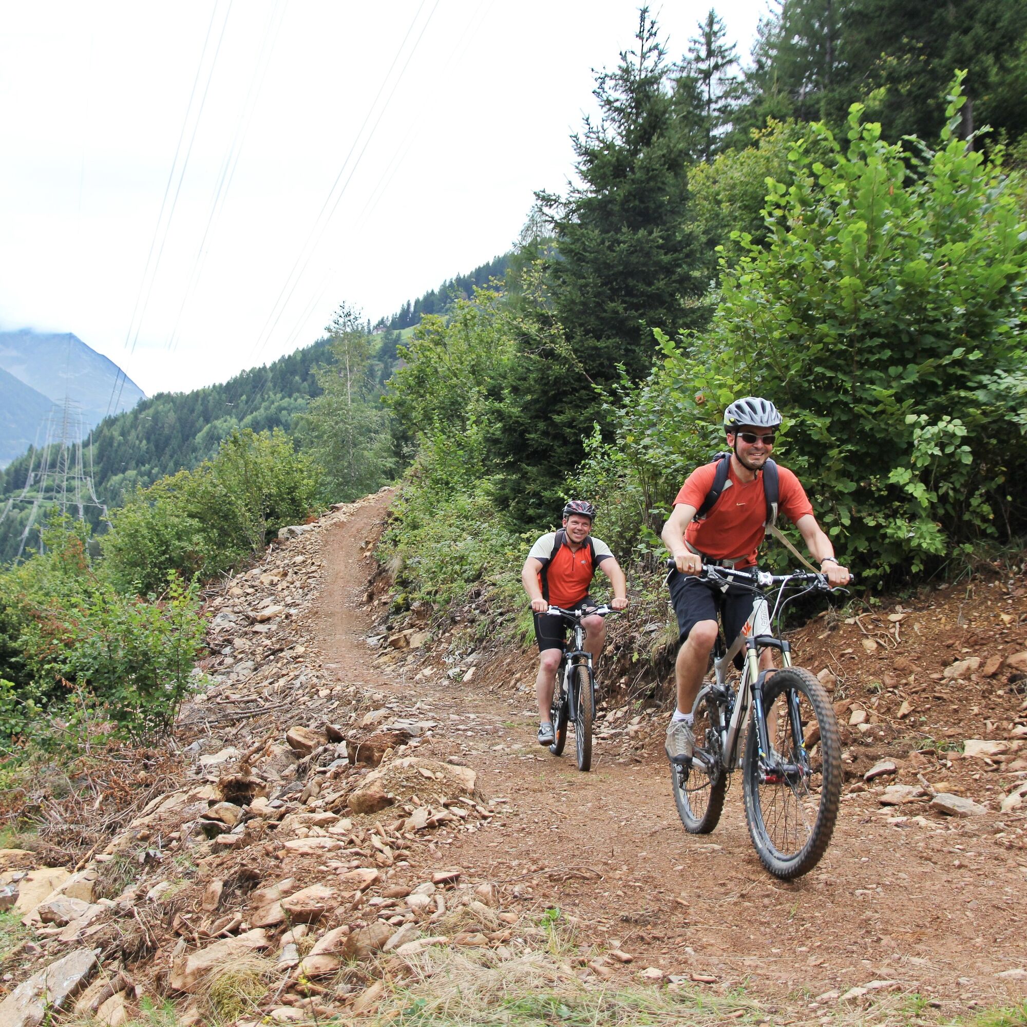
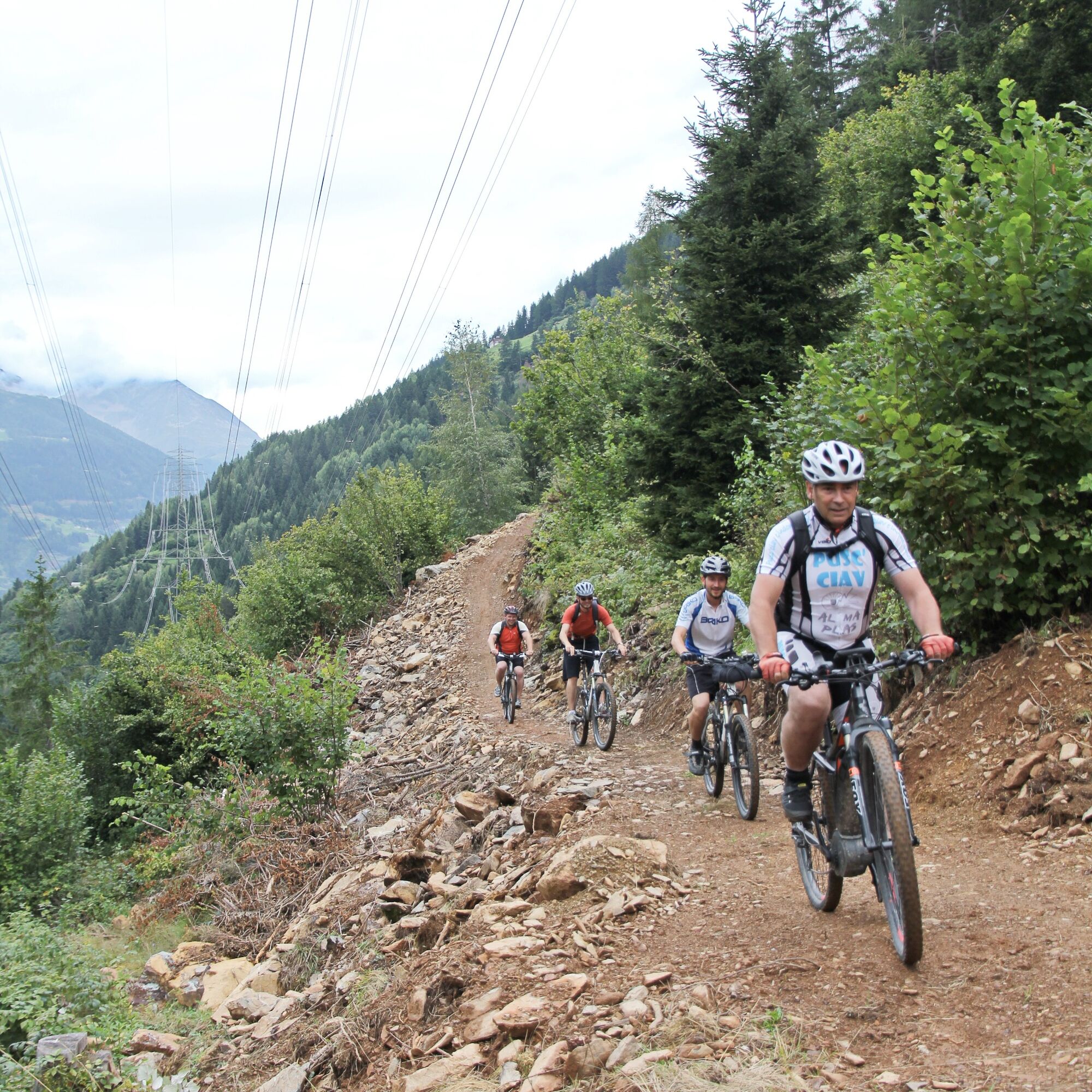
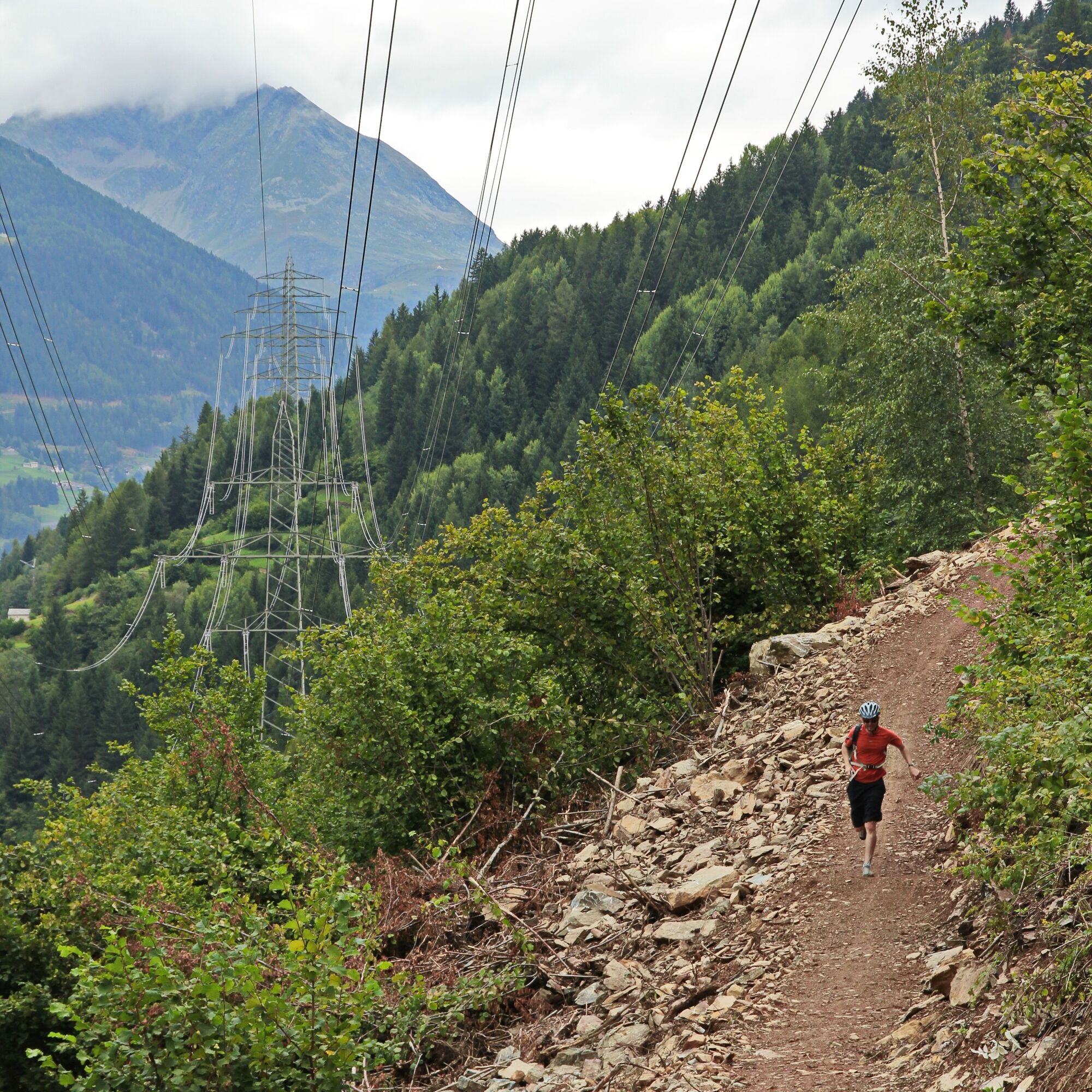
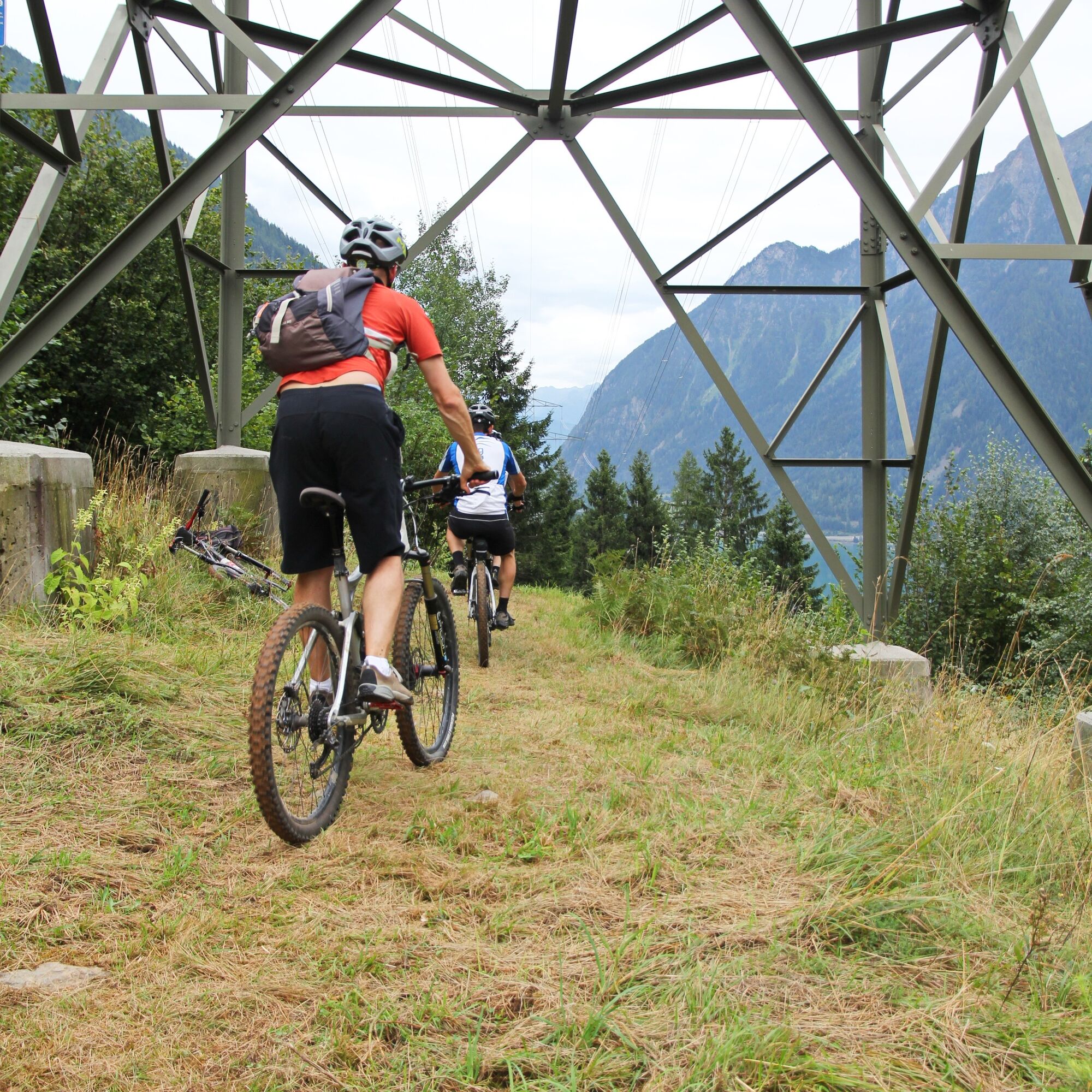
The high voltage lines that run through Valposchiavo are an unavoidable concession to modern life. Life without electricity would be unthinkable. But instead of ignoring the pylons and cables, the "Alta Tensione Trail" turns necessity into a virtue: it deliberately follows their course and rewards bikers with unusual views over the valley floor. From Poschiavo, whose piazza is framed by stately patrician houses, you head to the new monastery. Here begins the ascent southeastwards on paved roads. Just above Cologna is the start of the singletrail. Along the high voltage line, it leads through forest sections and clearings, the view sweeping to the opposite valley side. Upon reaching the height of Lago di Poschiavo, you return to the valley floor. Following the Poschiavino River comfortably, the last flat section leads from Le Prese back to Poschiavo. The name implies it: this trail promises high voltage.
Despite its short length, it is varied and technically rather demanding. Short, tough climbs and tricky descents require concentration and riding skills. Another plus: lying on the sunny side of the valley and never rising above 1,300 meters, the trail is almost rideable year-round.

S2
Highlights
High voltage line
Panorama
Short and crisp
Lago di Poschiavo
Popularne wycieczki w okolicy
- 5,0
Mountain hike to Lagh da Saoseo
ciężkiWędrówka 15,0 km - 5,0
Lagalb - Val Minor - Motta Bianca - Lagalb
średniWędrówka 9,80 km - 4,2
Piz Palü (3.905m) – Hochtour
średniWycieczka wysokogórska 13,4 km - 5,0
Ospizio Bernina Station - Alp Grüm (-Cavaglia)
światłoWędrówka 4,97 km - 5,0
Diavolezza - Sass Queder
światłoWędrówka 1,55 km - 5,0
Lago Bianco
Wędrówka 7,91 km - 4,0
53 Bernina Tour Switzerland: Stage 2 Bernina Pass-Diavolezza
średniWędrówka 8,67 km Alp Grüm - Cavaglia - Poschiavo
średniWędrówka 9,41 km- 4,5
Da Sfazù a lago Saoseo
światłoWędrówka 11,0 km - 5,0
53 Bernina Tour Switzerland: Stage 1 Poschiavo-Bernina Pass
średniWędrówka 14,6 km
Wędrówki i tropienie


Nie przegap ofert i inspiracji na następne wakacje
Twój adres e-mail została dodana do listy mailingowej.