







326 Bova
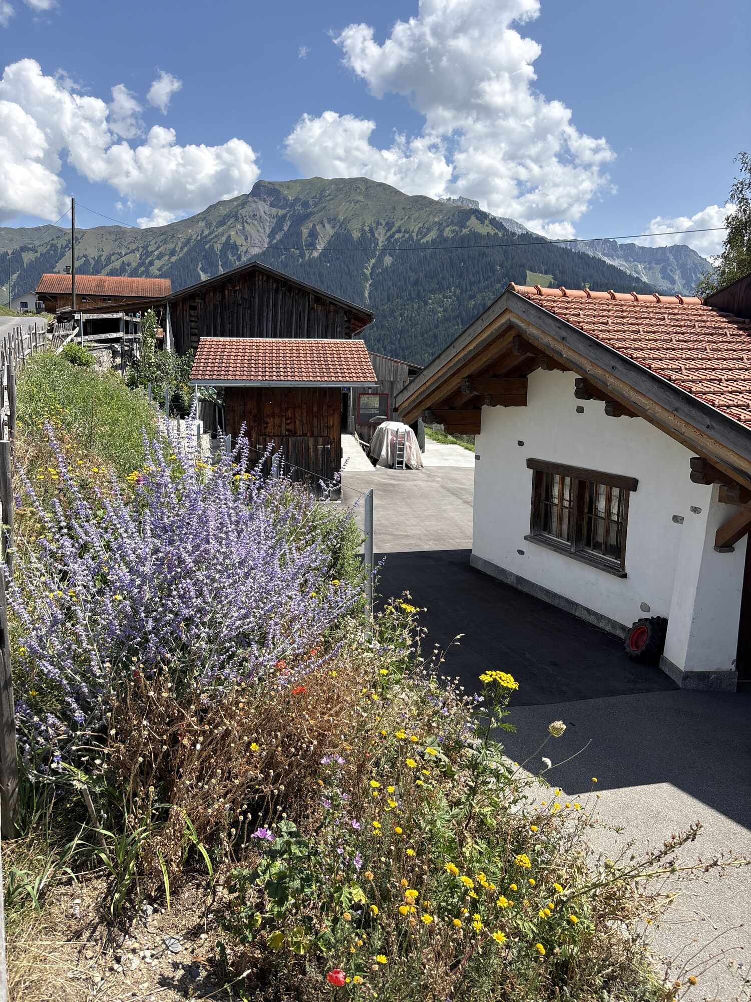
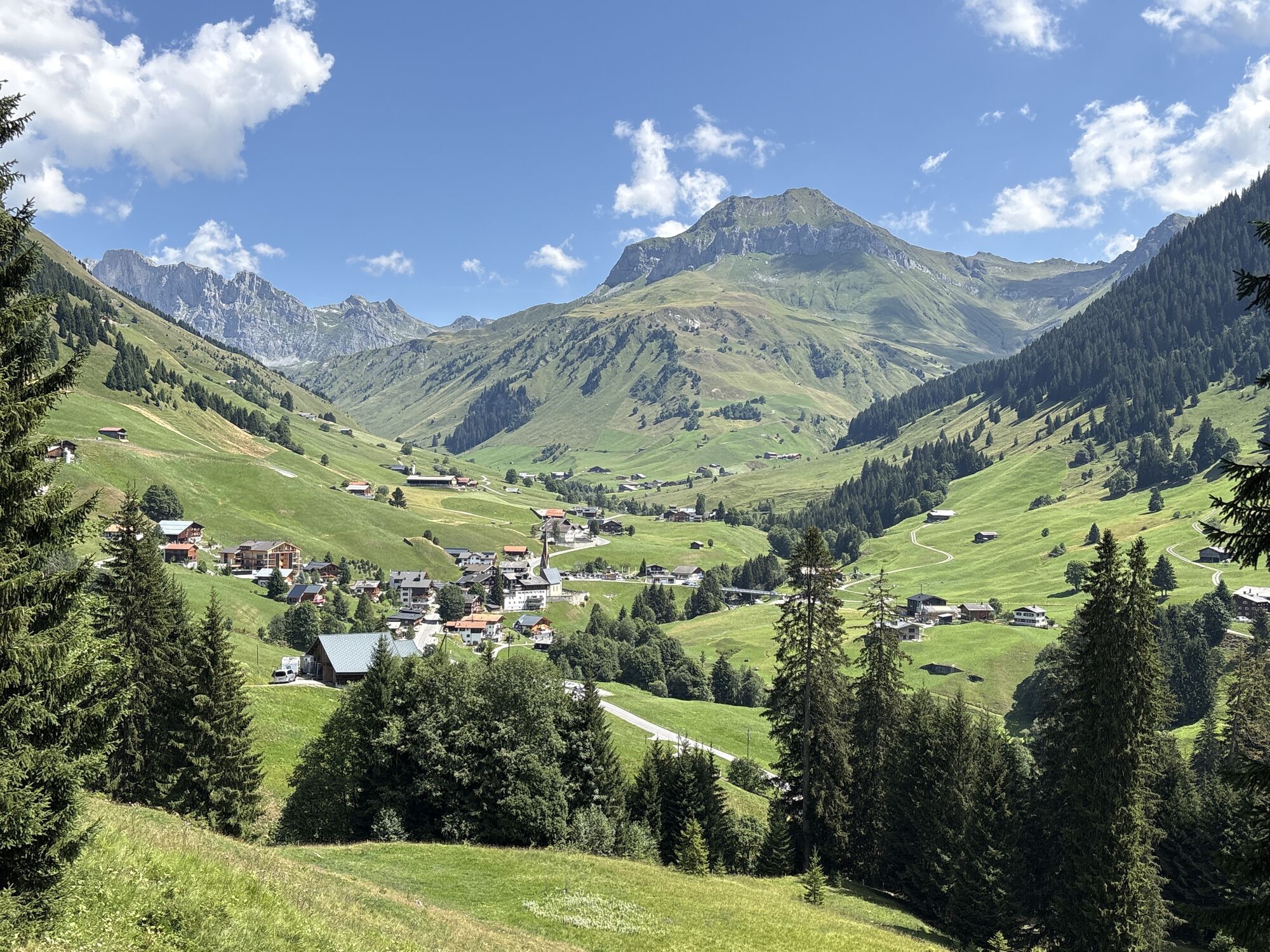
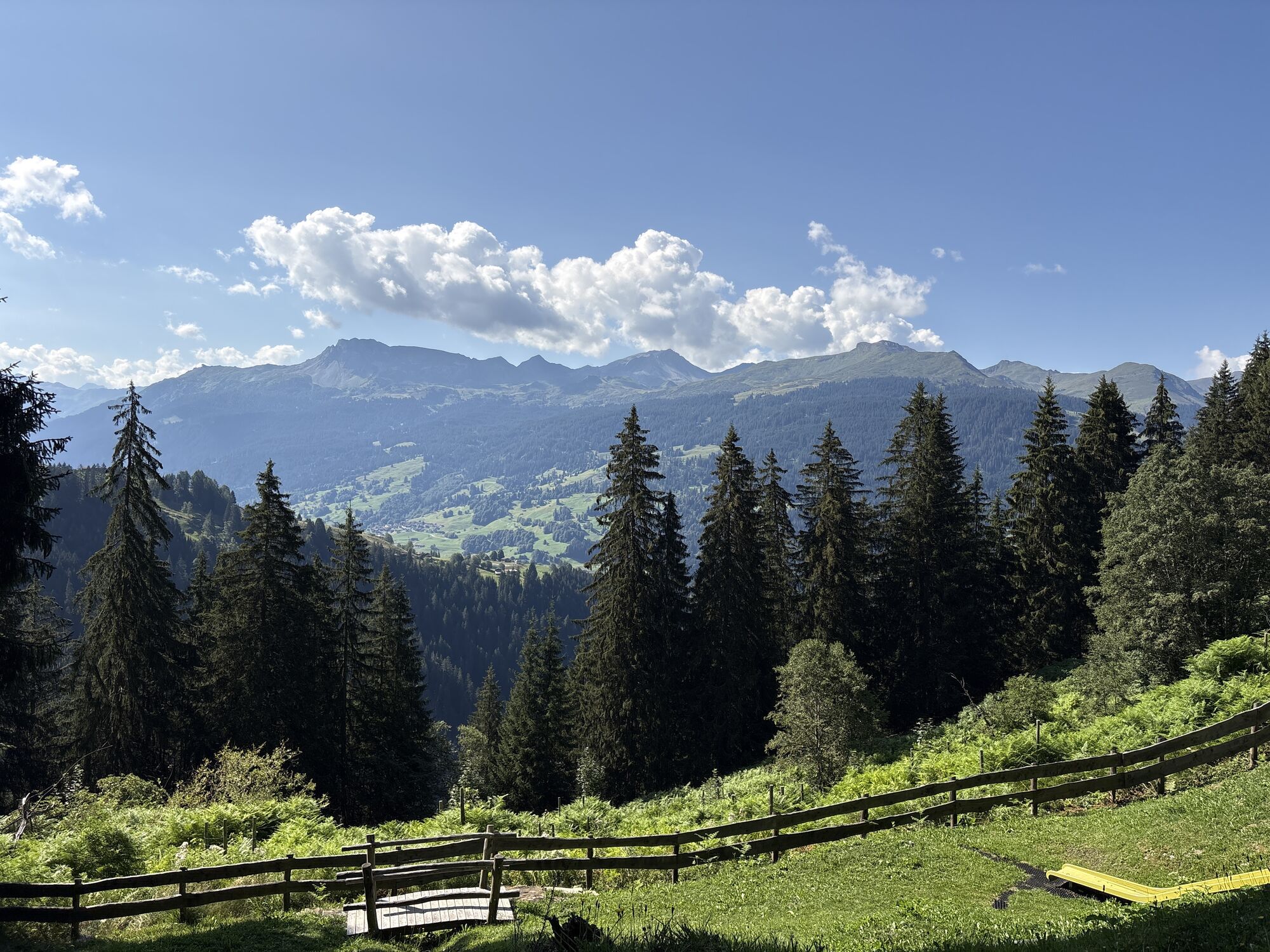
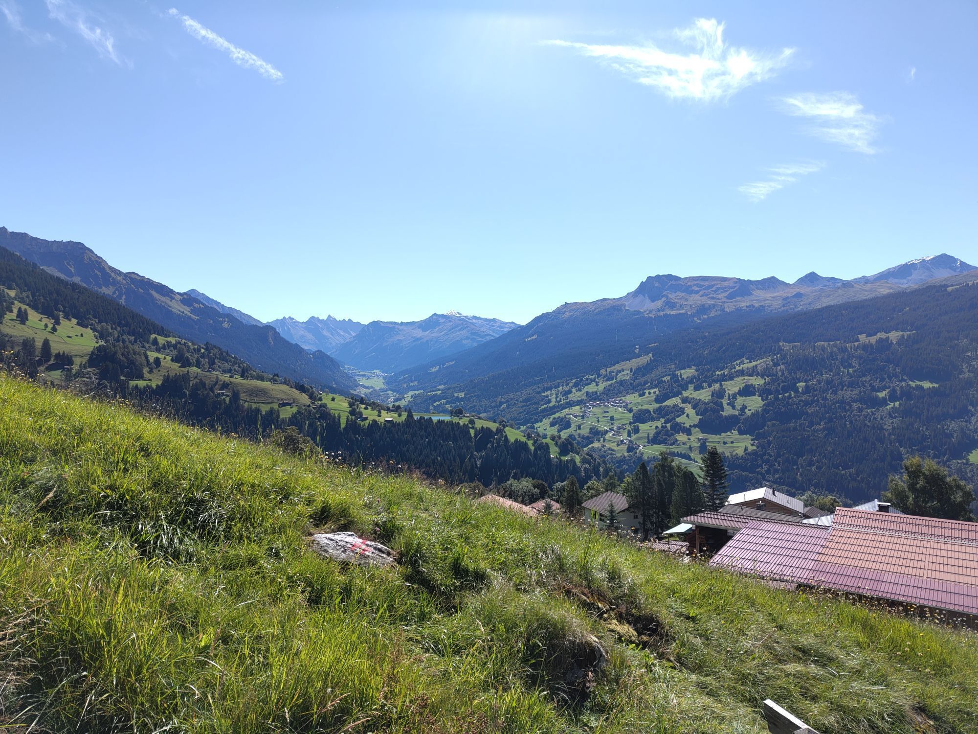
The starting point of this route is Pany. Pany lies on a sunny terrace at 1,250 m above sea level. From Pany to the beautiful alpine settlement Bova, the route leads with a steady ascent over an asphalt...
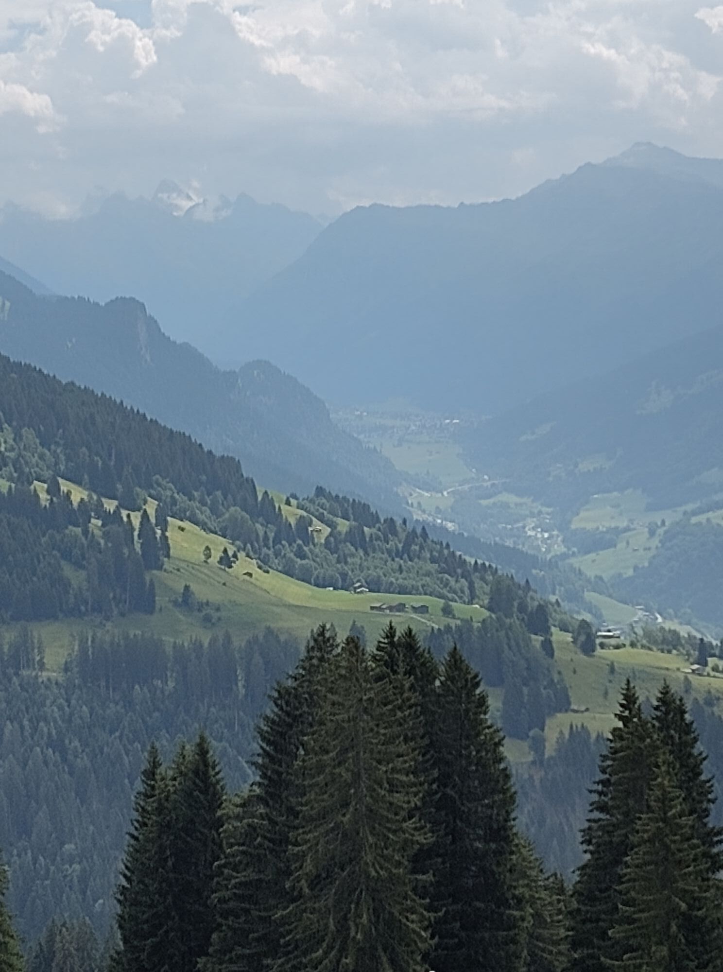
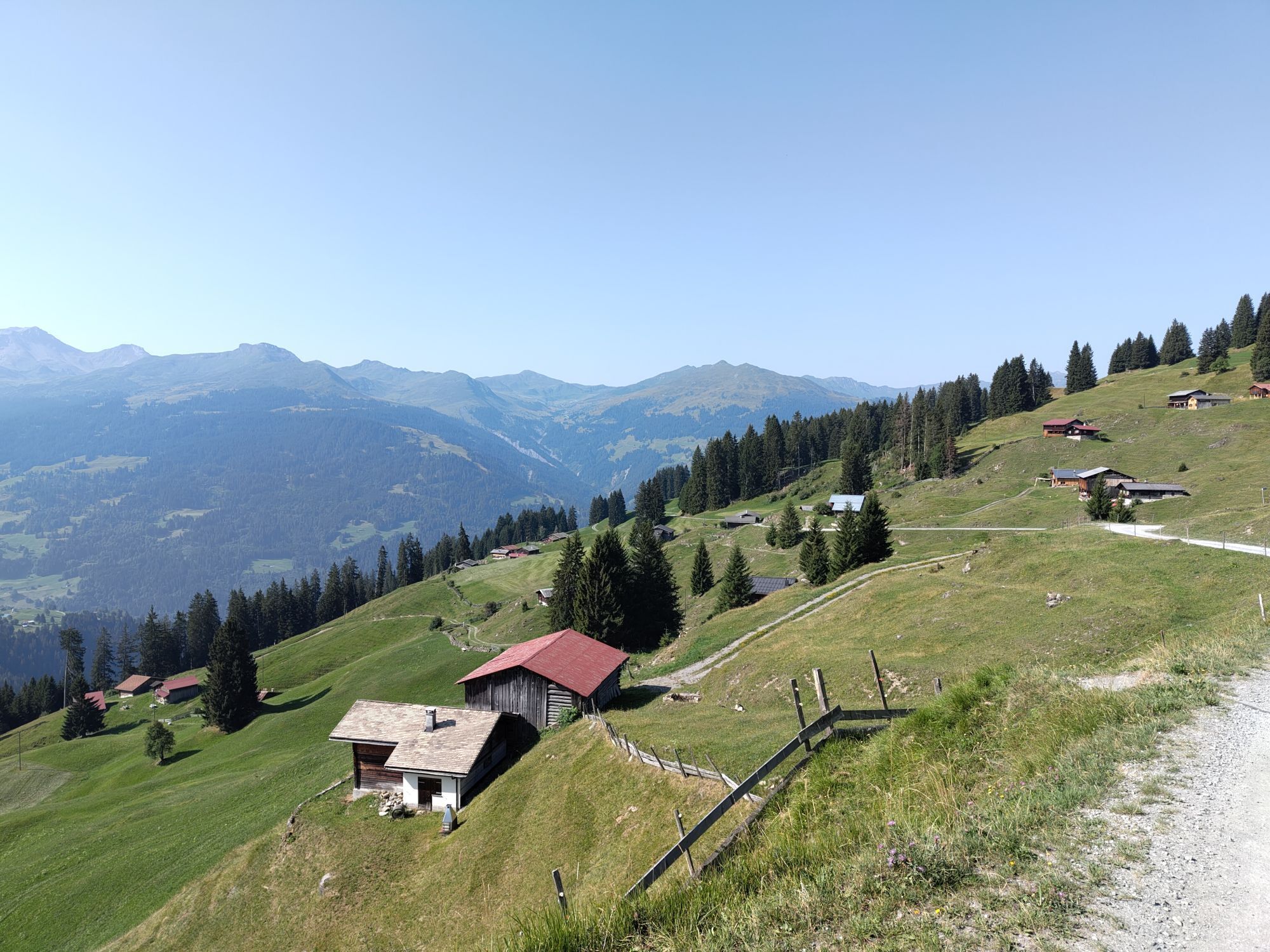
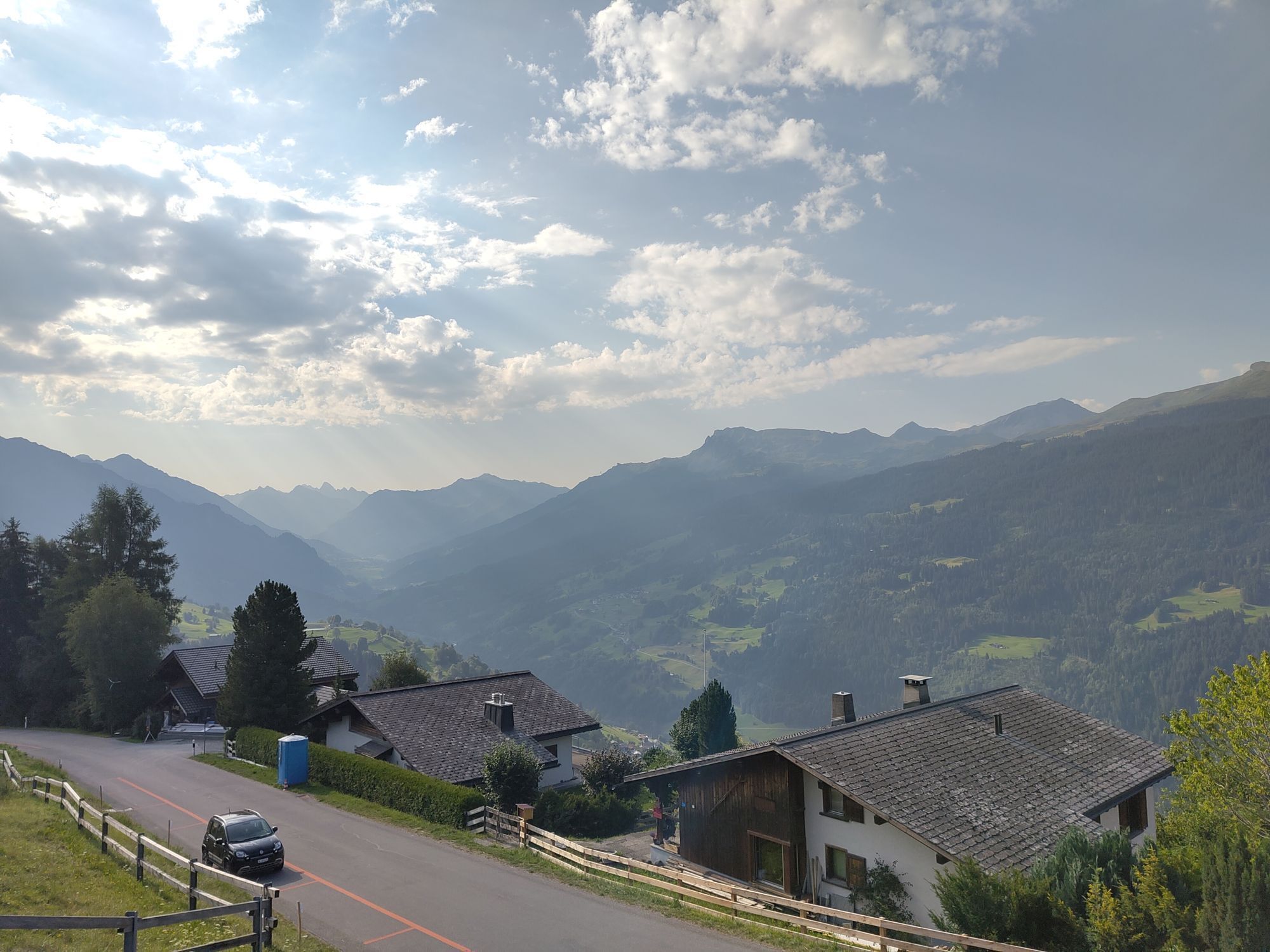
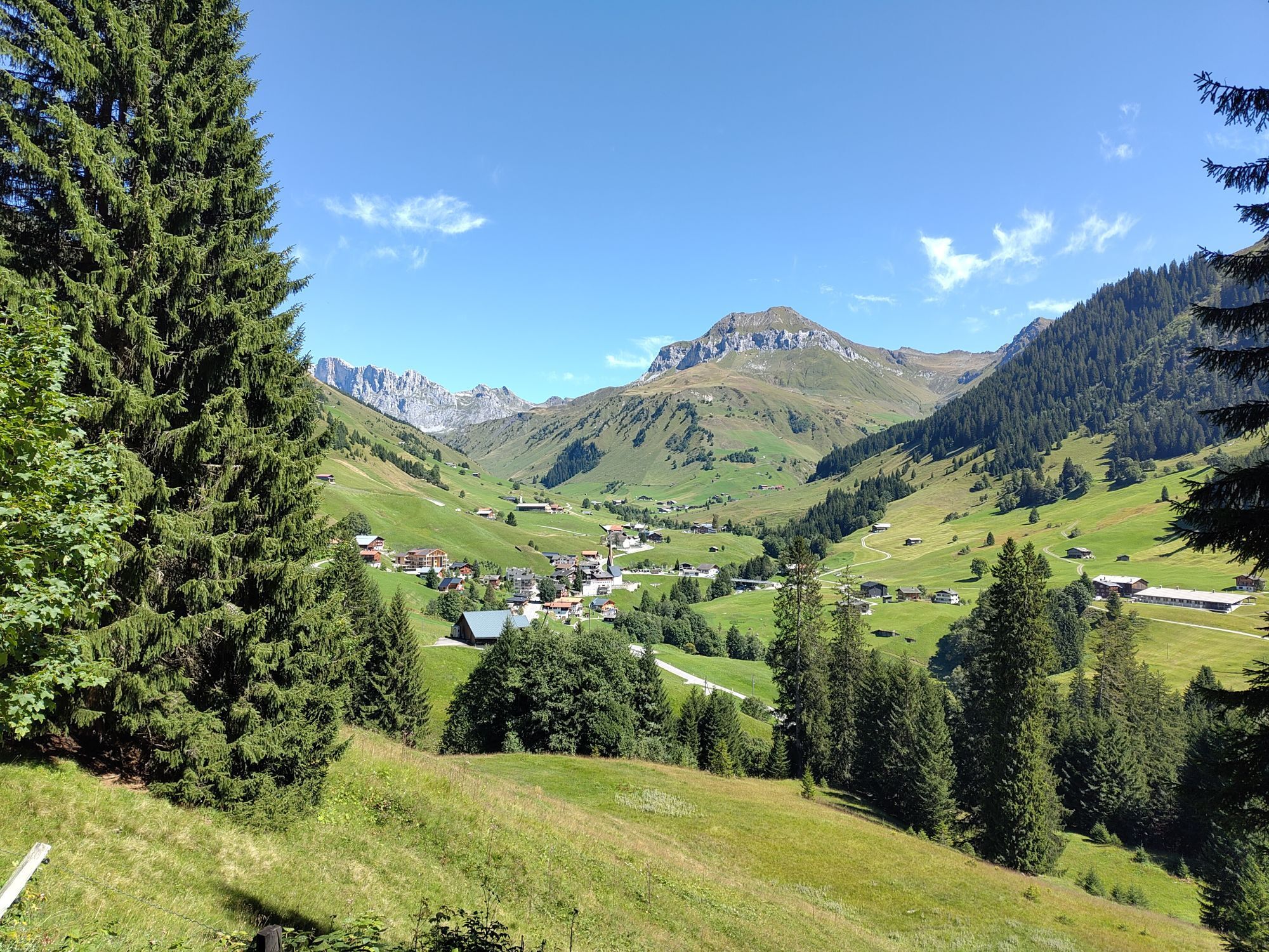
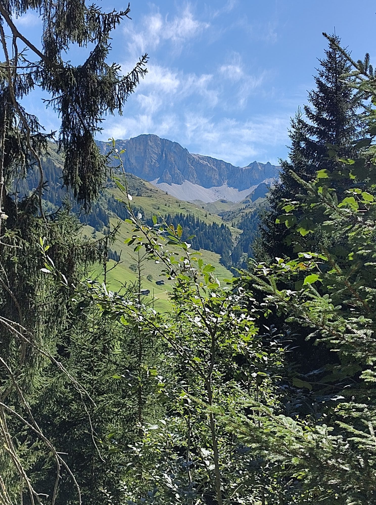
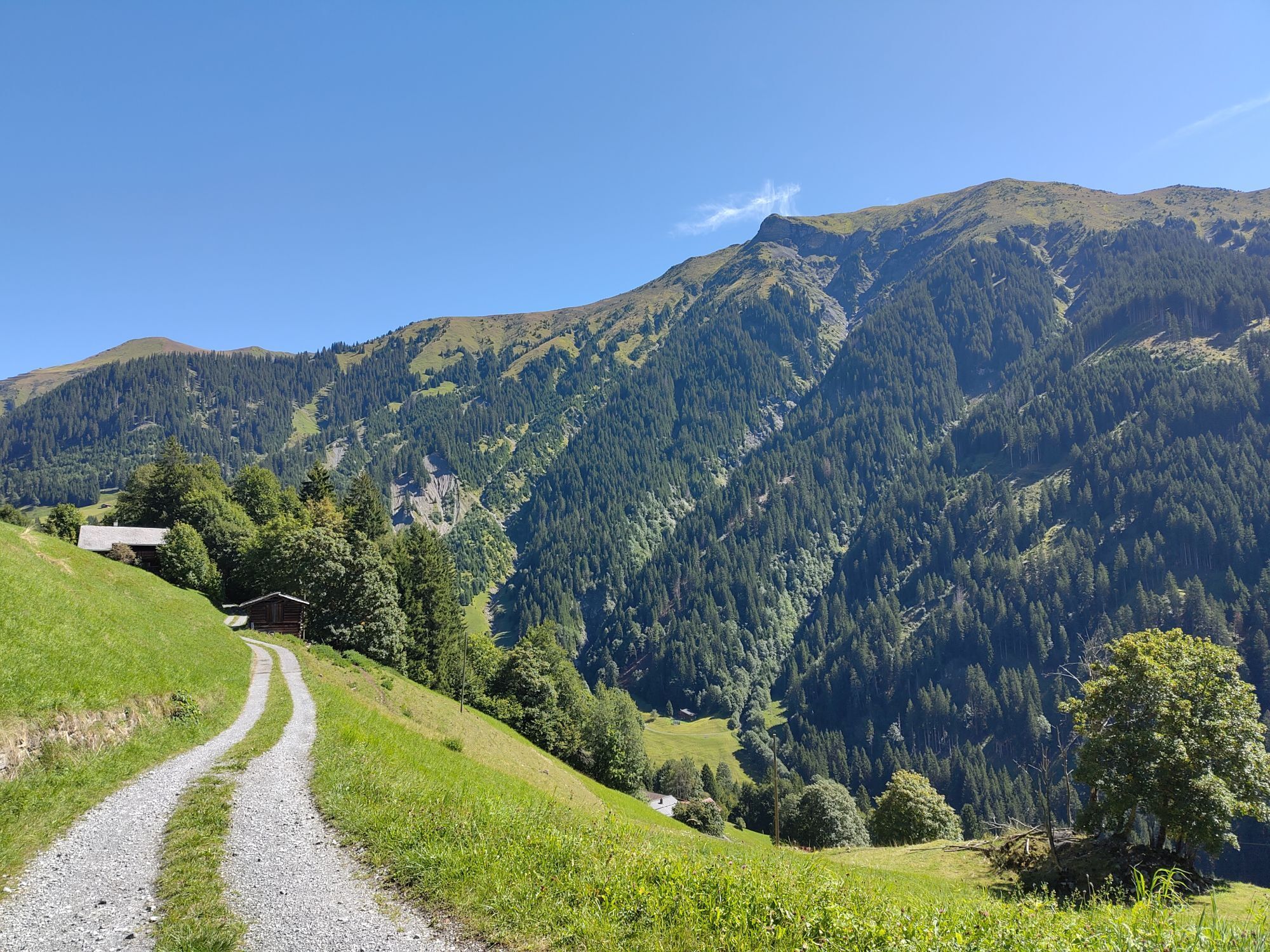
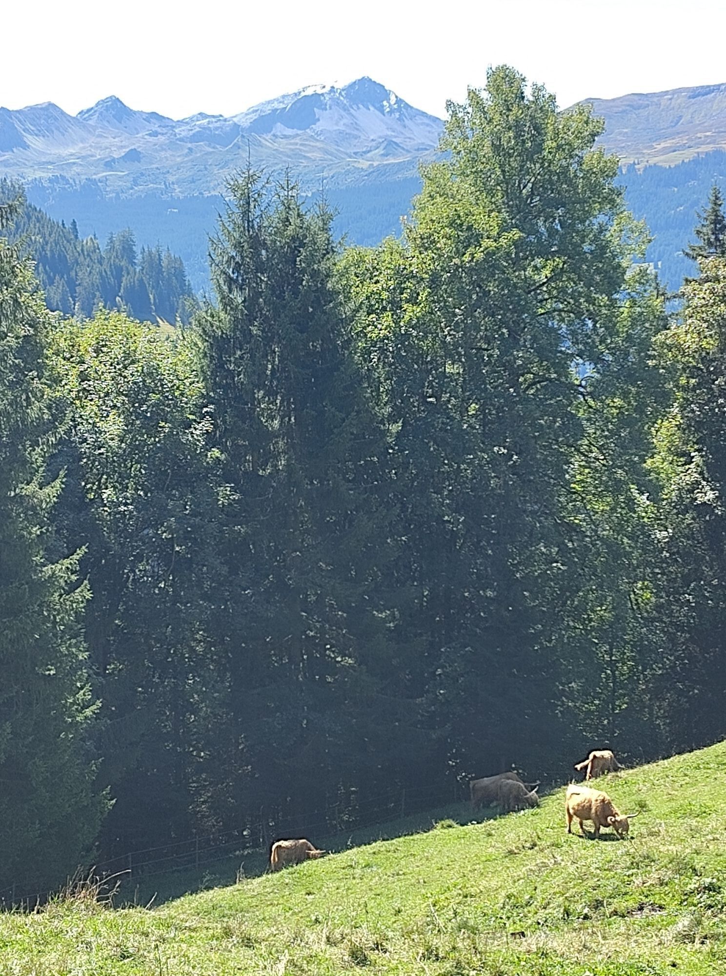
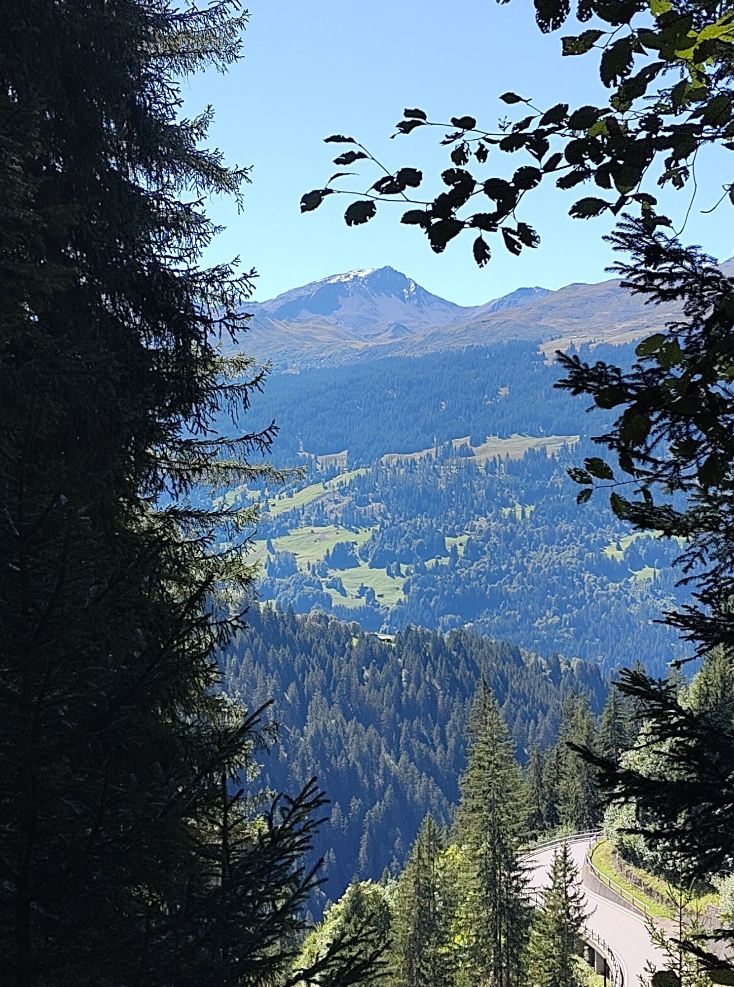
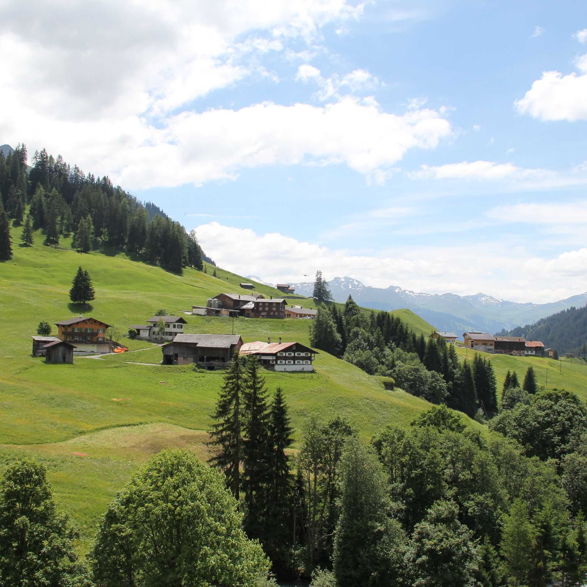
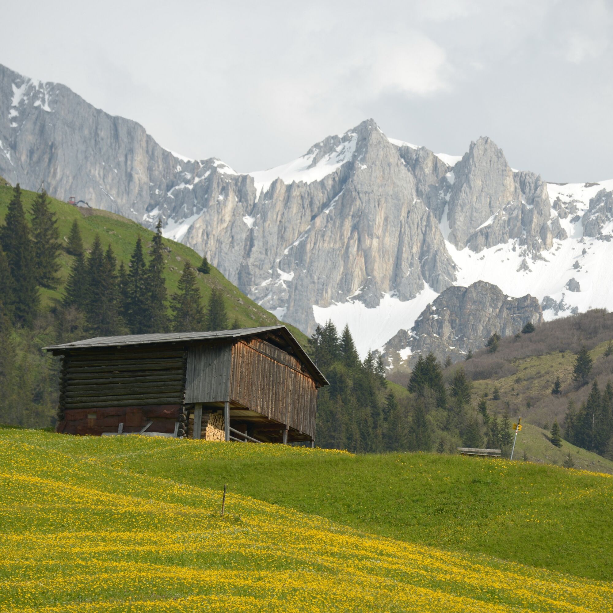
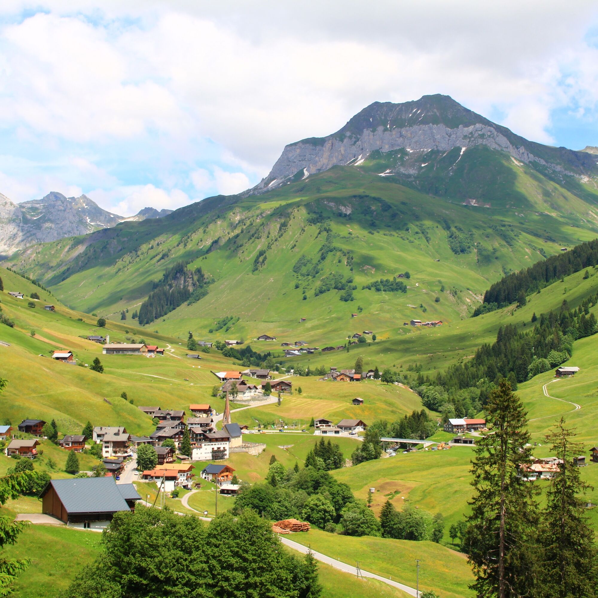
The starting point of this route is Pany. Pany lies on a sunny terrace at 1,250 m above sea level. From Pany to the beautiful alpine settlement Bova, the route leads with a steady ascent over an asphalt road. In Bova, the road turns into a natural road. From the highest point, you enjoy a wonderful view of the mountain village St. Antönien and the Rätikon mountain range before heading onto the singletrail to St. Antönien. This flowing trail is the route for the Swiss Bike Masters mountain bike event held every July. This section belongs to the most beautiful parts of the marathon classic. Here the racing feeling comes alive for the whole family and it’s great fun. At the end of the singletrail, a very short climb follows and then it continues on an asphalt road to St. Antönien. In St. Antönien, it’s worth stopping at one of the cozy and rustic mountain restaurants. From St. Antönien, the route continues to Ascharina via the Swiss Bike Masters route. First on an asphalted road and then a fast descent on a gravel path to Aschüel. Continuing along the main road towards Pany. Shortly before Pany, there is a short climb over a singletrail to Haderegg, and then the route leads back to the starting point Pany.

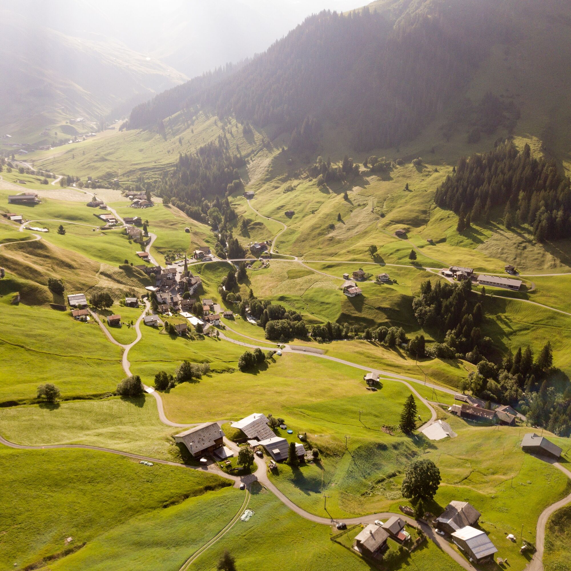

Pany - Bova - St. Antönien - Ascharina - Pany
Tak
Tak
Via the A13 and the B28 to Luzein, from there follow the Luzeinerstrasse to Pany.
By the Rhätische Bahn RhB to Küblis and then by post bus to Pany (timetable 90.218 or 90.222).
Prättigau Marketing
Feldweg 19
7233 Jenaz
Tel. +41 (0)81 325 11 11
info@praettigau.info
www.praettigau.info
Uzyskaj wgląd
Zawsze na żywo z ponad 9 500 kamer internetowych. bergfex Jako użytkownik Pro, możesz teraz zobaczyć odpowiednie kamery internetowe dla wielu wycieczek w aplikacji wycieczki od. Pozwala to na bezpośredni podgląd aktualnych warunków.
Popularne wycieczki w okolicy
-
4,8
Douglashütte - Schesaplana
średniWędrówka 7,31 km -
5,0
Ski tour to the Lindauer Hut (1,744 m)
światłoWycieczka narciarska 14,0 km -
4,7
Smuggler’s path
średniTrasa tematyczna 8,60 km -
4,4
Golmer Lakes Trail
średniTrasa tematyczna 7,28 km -
4,9
Douglasshütte, Lünersee, Gafalljoch Brand bei Bludenz, Vorarlberg
światłoWędrówka 9,16 km -
4,6
Madrisella summit path
średniTrasa tematyczna 10,8 km -
4,3
Golmerbahn Bergstaion Grüneck - Golmer Höhenweg - Geißspitze - Lindauer Hütte - Latschau
średniWędrówka 11,5 km -
4,8
Madrisella via ferrata
ciężkiVia ferrata 8,52 km -
4,8
Schesaplana
średniWycieczka wysokogórska 5,26 km -
3,0
Bergstation Grüneck Golmerbahn - Alpe Latschätz - Lindauer Hütte - Latschau
światłoWędrówka 11,1 km
Wędrówki i tropienie


Nie przegap ofert i inspiracji na następne wakacje
Twój adres e-mail została dodana do listy mailingowej.





