







Salahorn 2984m
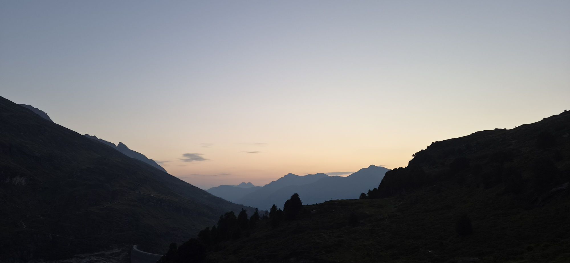
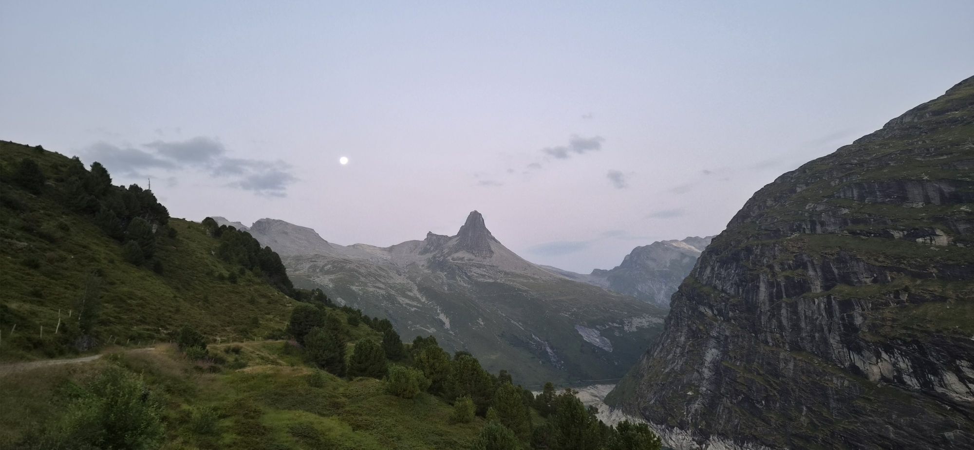
Of the five valleys of the municipality of Vals, the Canaltal is the least known and least traveled. Branching off from the Zervreilasee, wild and steep slopes stretch back to the foot of the Güferhorn...
Of the five valleys of the municipality of Vals, the Canaltal is the least known and least traveled. Branching off from the Zervreilasee, wild and steep slopes stretch back to the foot of the Güferhorn (3379m), the second highest summit of the Valsertal. En route in the lonely high valley, you may encounter nothing but the sheep of Canalalp, spread extensively over the vast valley sides. The usually well-passable hiking trail finally leads via the Canallücke (2838m) to the highest marked mountain pass in Vals. Just above it, the Salahorn offers a spectacular view of the basin of Adula (Rheinwaldhorn) and the surrounding mountain world on the border with Ticino.

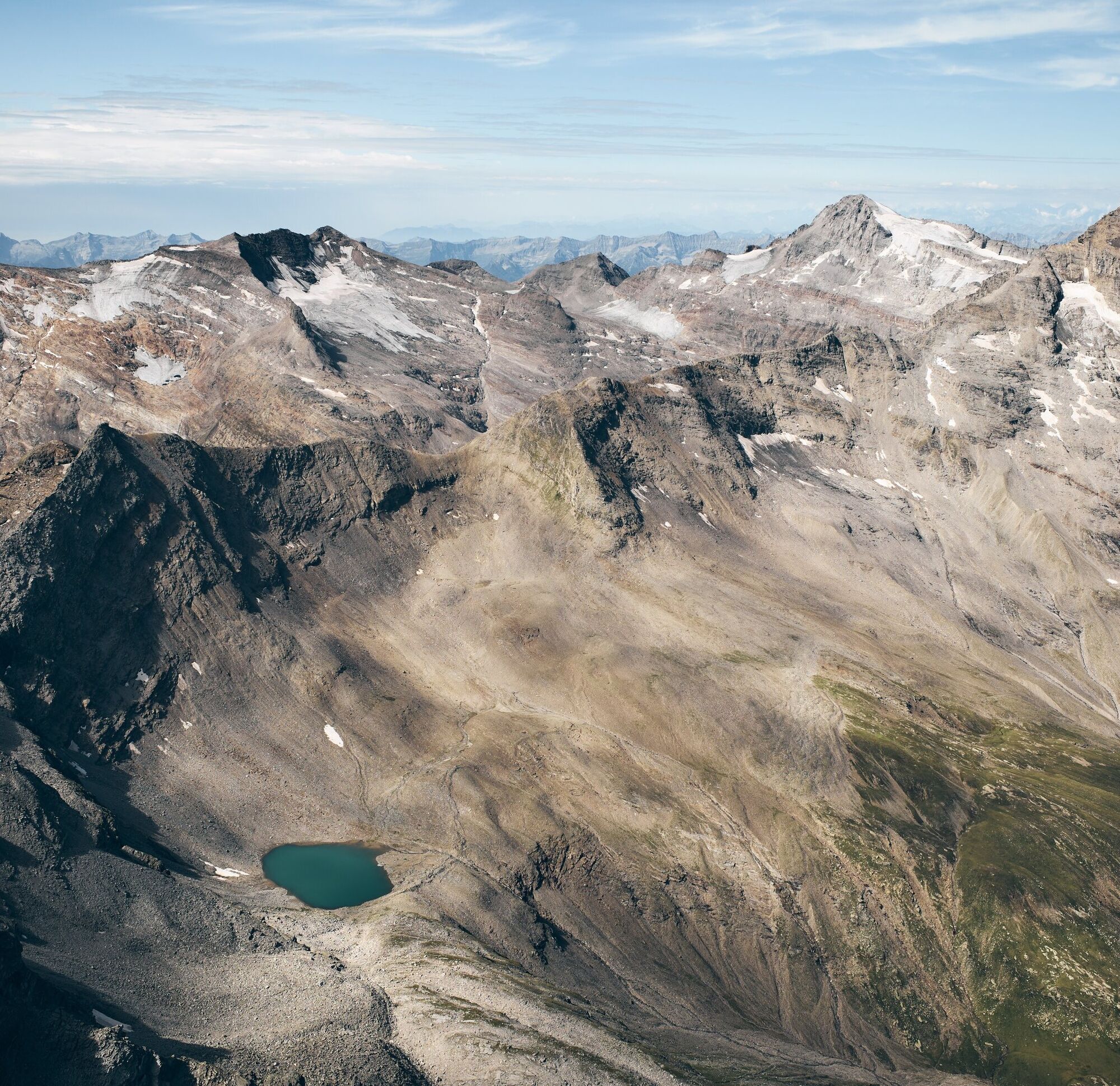
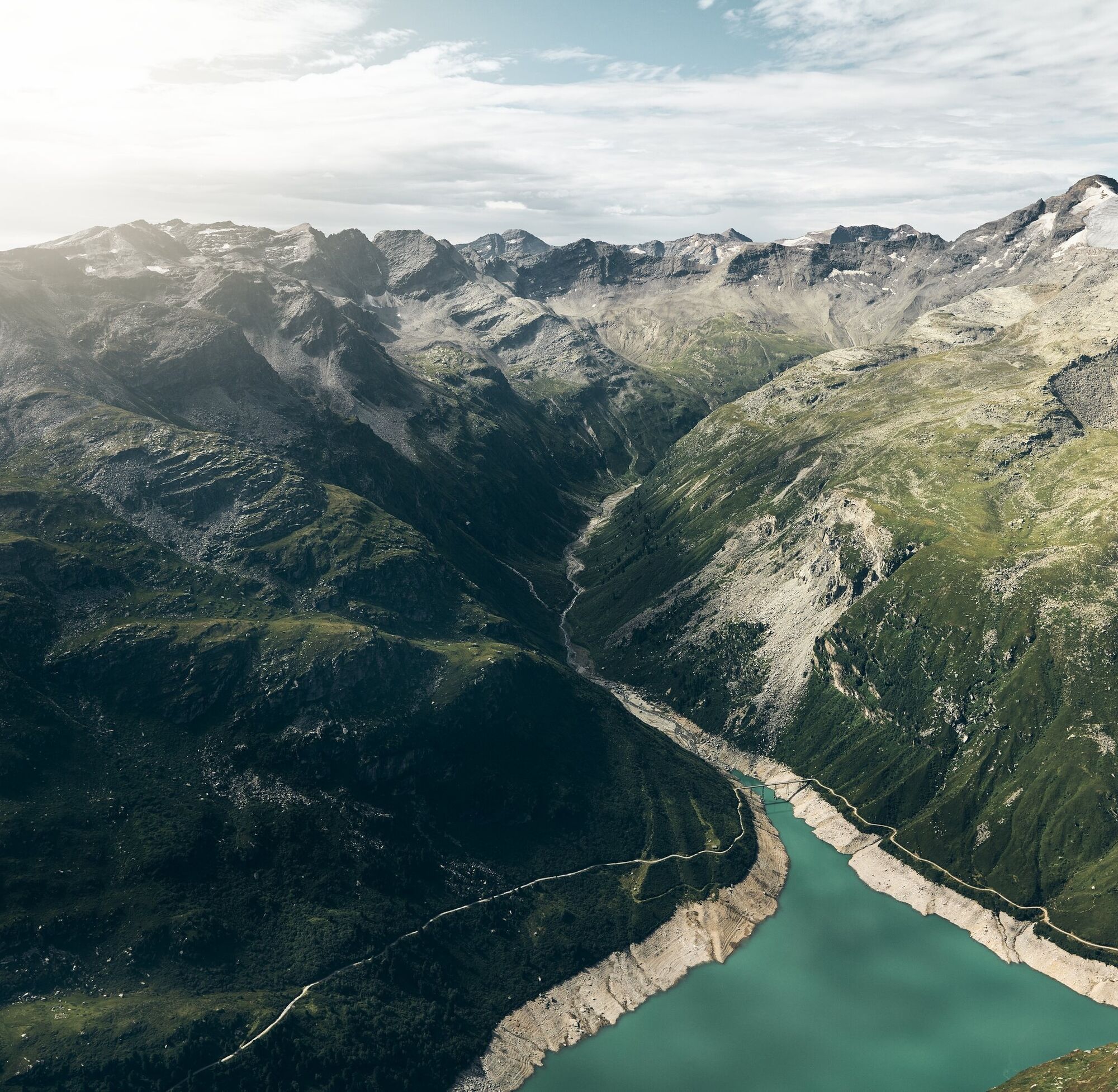
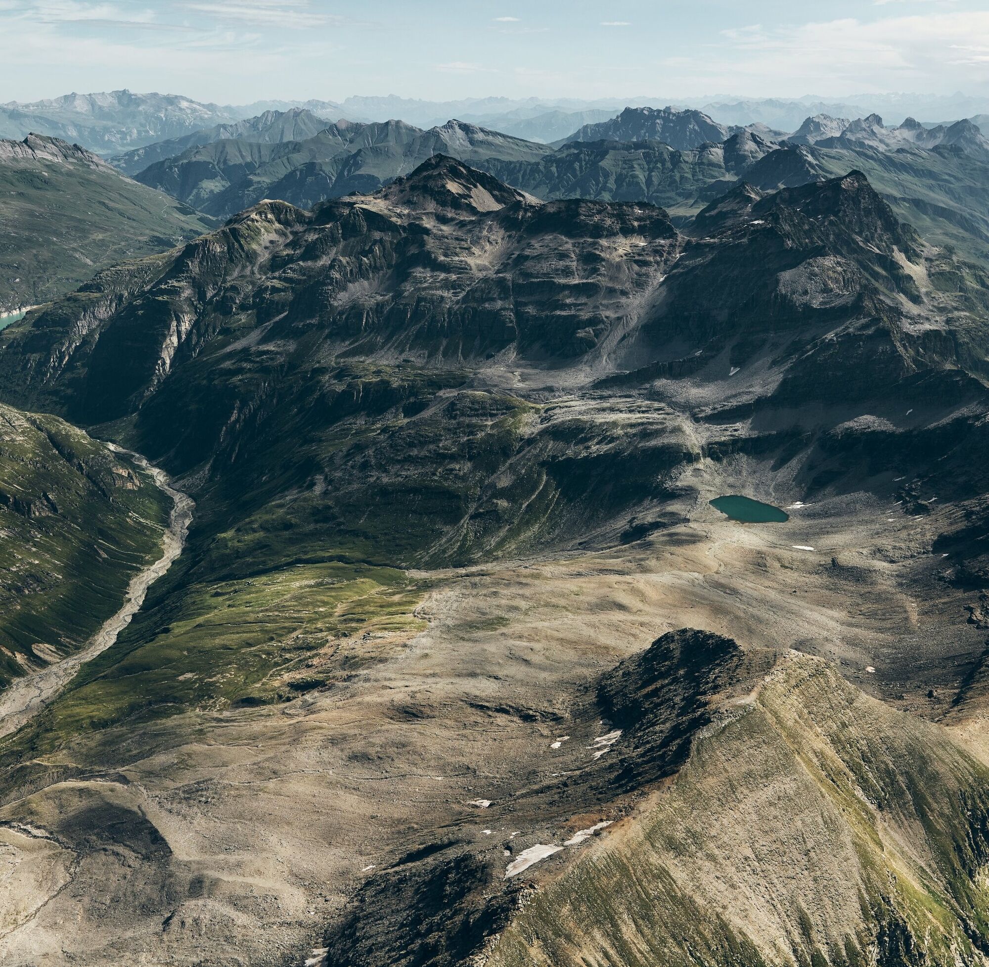

From the Zervreila chapel (1984 m), the gravel road leads down in 30 min to the Canalbrücke (1865 m). Just before the bridge, turn left and follow the hiking trail along the valley floor for one hour to the Stafel of Canalalp (1937 m). From now on, ascend for two hours along the left valley flank and through a first hollow, always with a wonderful view of the Güferhorn. Past the Canalsee and finally crossing a scree slope, the Canallücke (2839 m) is reached. Now turn directly right and in a short, half-hour climb, ascend the summit via the simple eastern ridge. Descent either immediately or via Canallücke to the Zapporthütte SAC in Rheinwald.
Tak
Tak
Solid, rainproof, warm clothing. Robust mountain or trekking shoes. Gloves, hat, sun protection. Hiking poles, provisions and drinks from the backpack, first aid kit, topographic map, altimeter, compass, mobile phone, flashlight.
Requirements: Technically easy route (T3) for good mountain hikers, requiring caution when wet, cold, and snowy near the summit.
On this hike, you must expect mother cows.
Detailed behavior information: https://www.wandern.ch/de/wandern/sicher-unterwegs/mutterkuhherden
Via Chur-Ilanz-Vals to Zervreila.
By PostAuto from Vals to Zerfreila (summer only).
Parking lot at the Zervreila chapel.
www.vals.ch
Salahorn 2984m – route reports and photos [hikr.org]
Refreshments: At the Zervreila restaurant
The Hohberghorn (3004m) also stands directly above the Canallücke and can be reached by experienced hikers through light, attractive scrambling.
Uzyskaj wgląd
Zawsze na żywo z ponad 9 500 kamer internetowych. bergfex Jako użytkownik Pro, możesz teraz zobaczyć odpowiednie kamery internetowe dla wielu wycieczek w aplikacji wycieczki od. Pozwala to na bezpośredni podgląd aktualnych warunków.
Popularne wycieczki w okolicy
-
5,0
Panorama route
światłoWędrówka 5,39 km -
3,3
3-lake hike
średniWędrówka 12,8 km -
Giro della Greina
Wędrówka 50,6 km -
5,0
2-day hike Greina high plateau
ciężkiWędrówka 15,5 km -
5,0
Winter hike Gadastatt - Frunt - Zerfreila (Panorama trail)
światłoWędrówka zimą 5,36 km -
4,5
Fanellhorn 3124 m
ciężkiWycieczka wysokogórska 6,86 km -
5,0
Southeast Switzerland Hiking Day Vals 2017
światłoWędrówka 11,8 km -
4,8
Tibet Suspension Bridge Route Riasc
światłoWędrówka 6,12 km -
Furggelti 2712m
ciężkiWędrówka 18,7 km -
Piz Terri, 3.149 m
średniWycieczka wysokogórska 6,92 km

Wędrówki i tropienie


Nie przegap ofert i inspiracji na następne wakacje
Twój adres e-mail została dodana do listy mailingowej.





