







National Park Panorama route [SchweizMobil No. 45]
Poziom trudności: T2
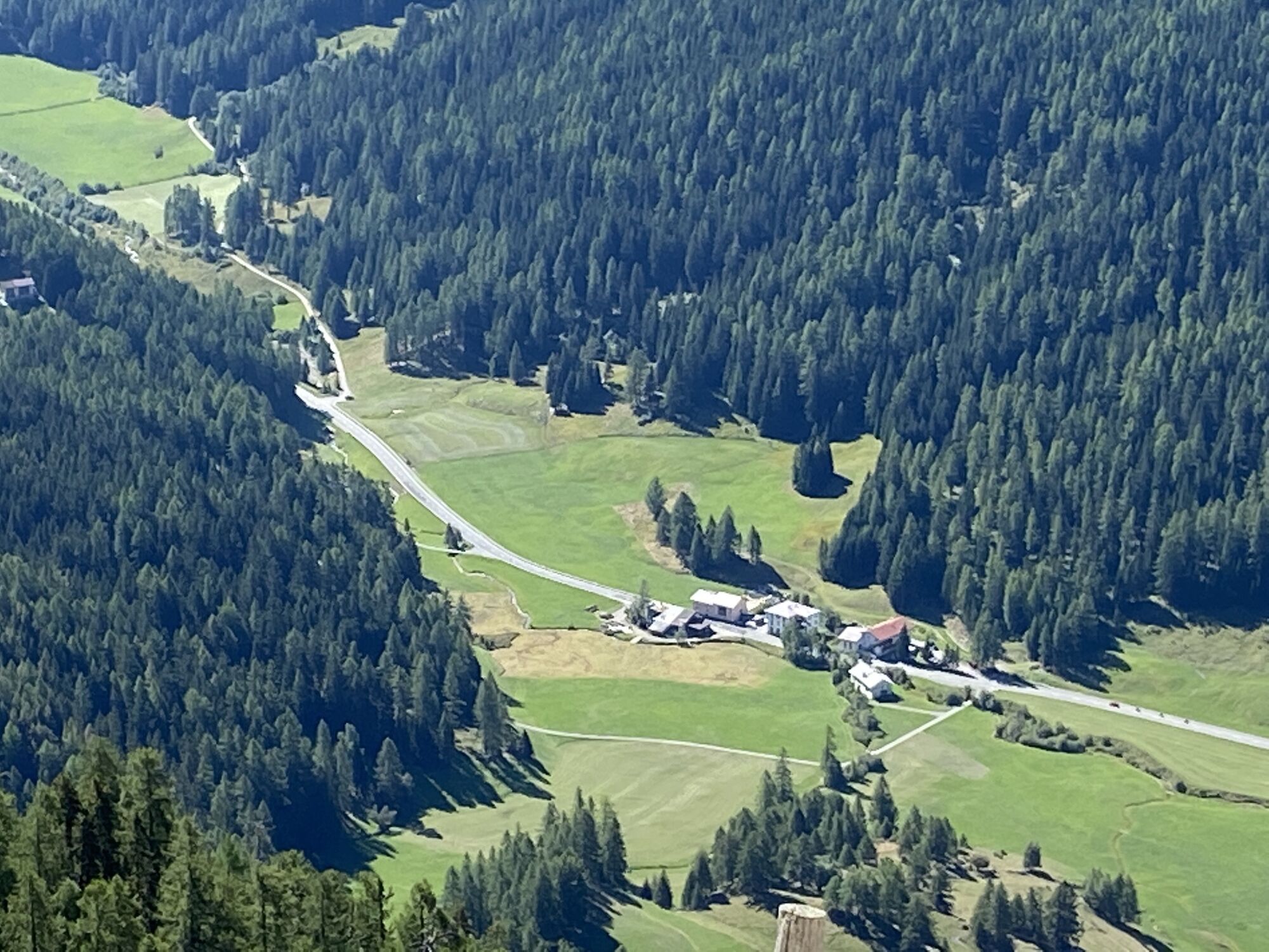
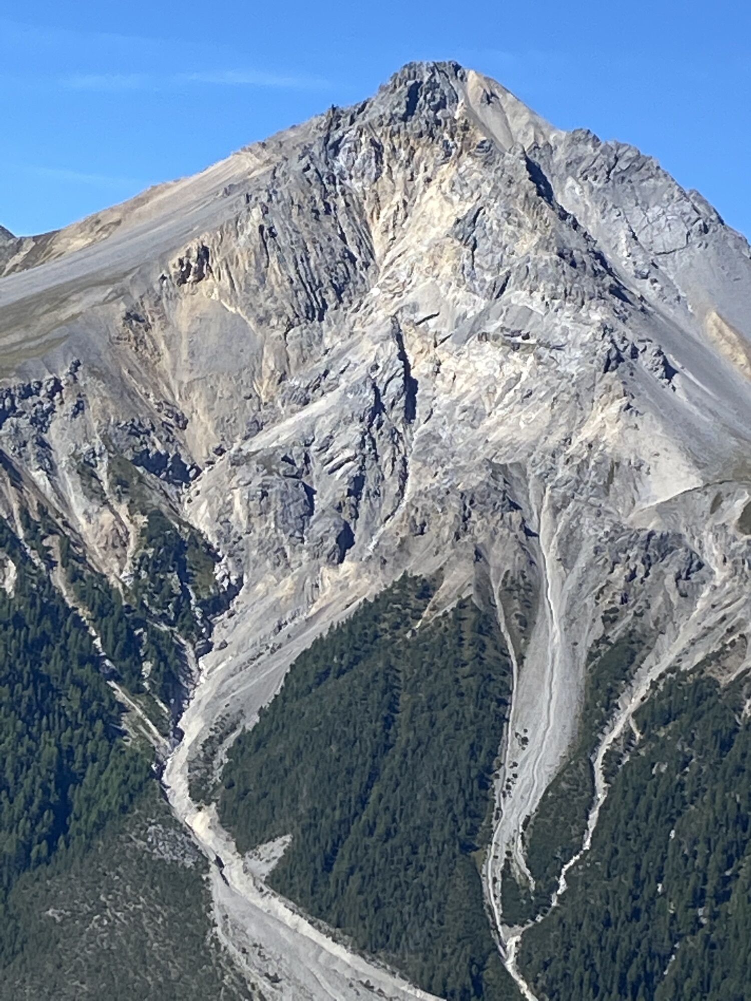
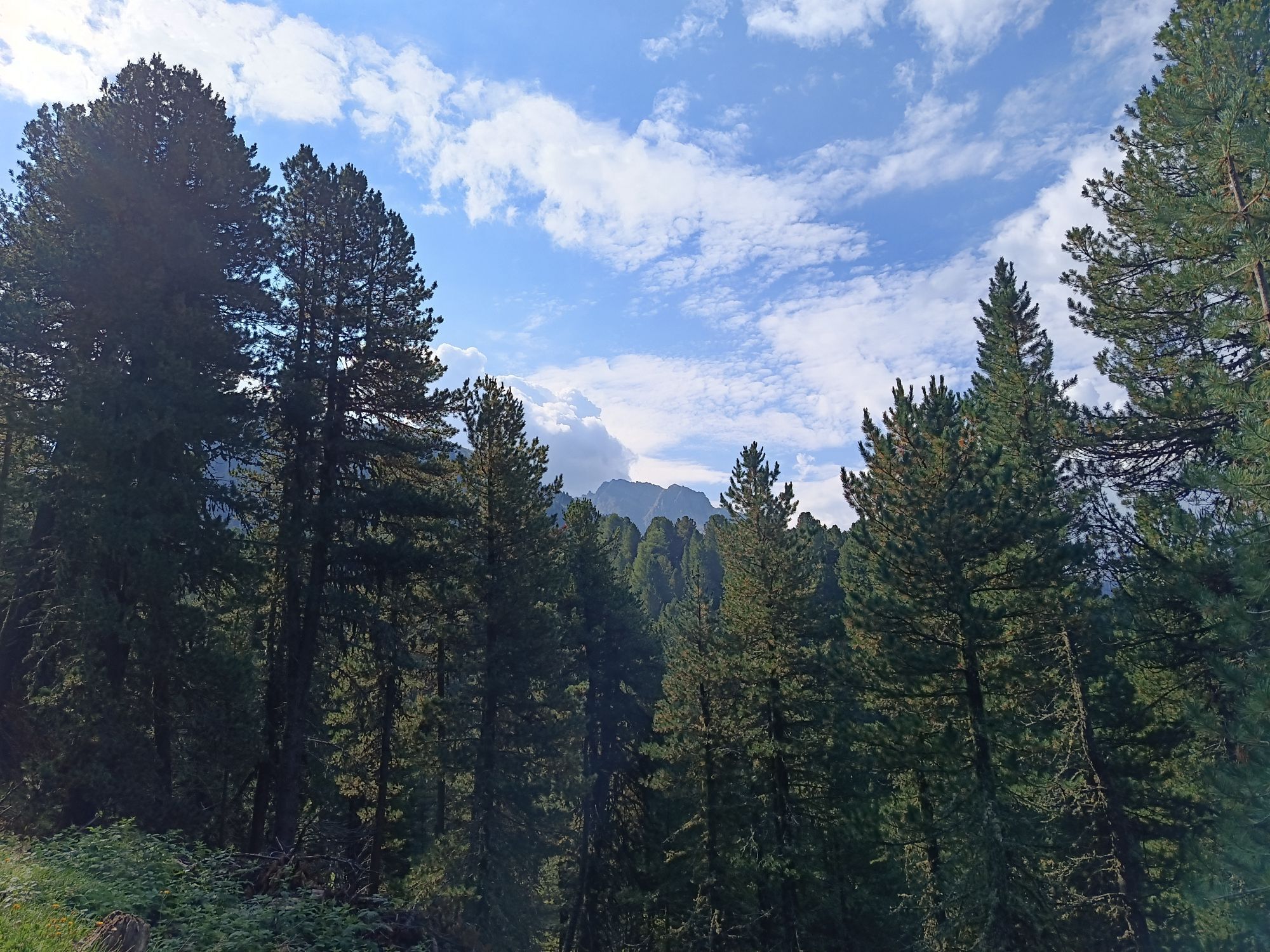
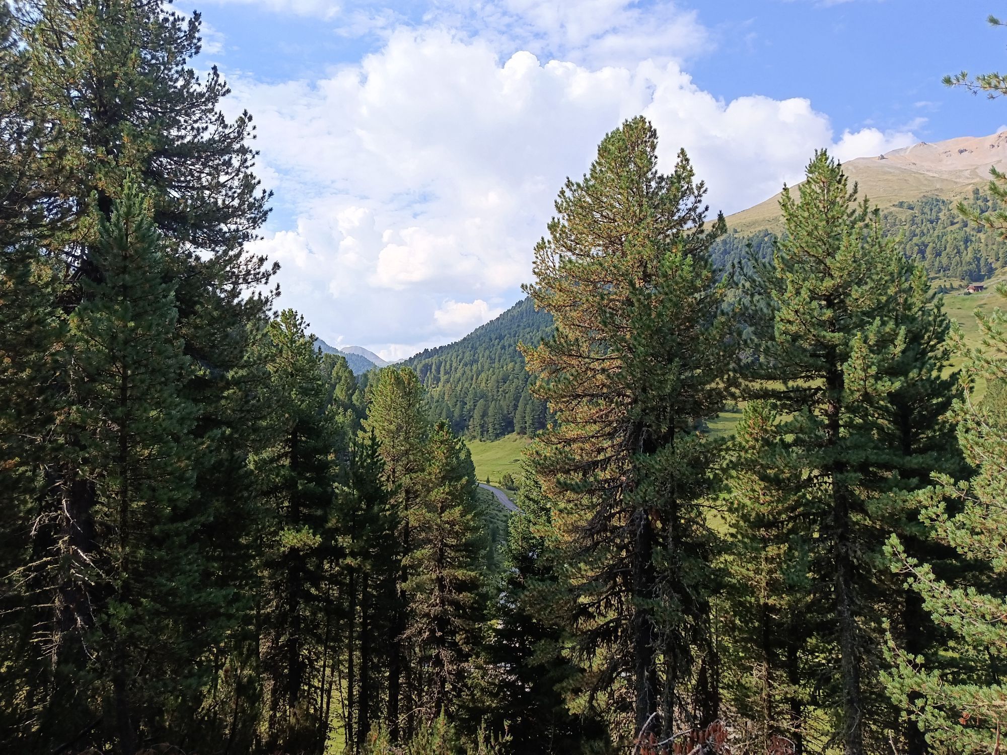
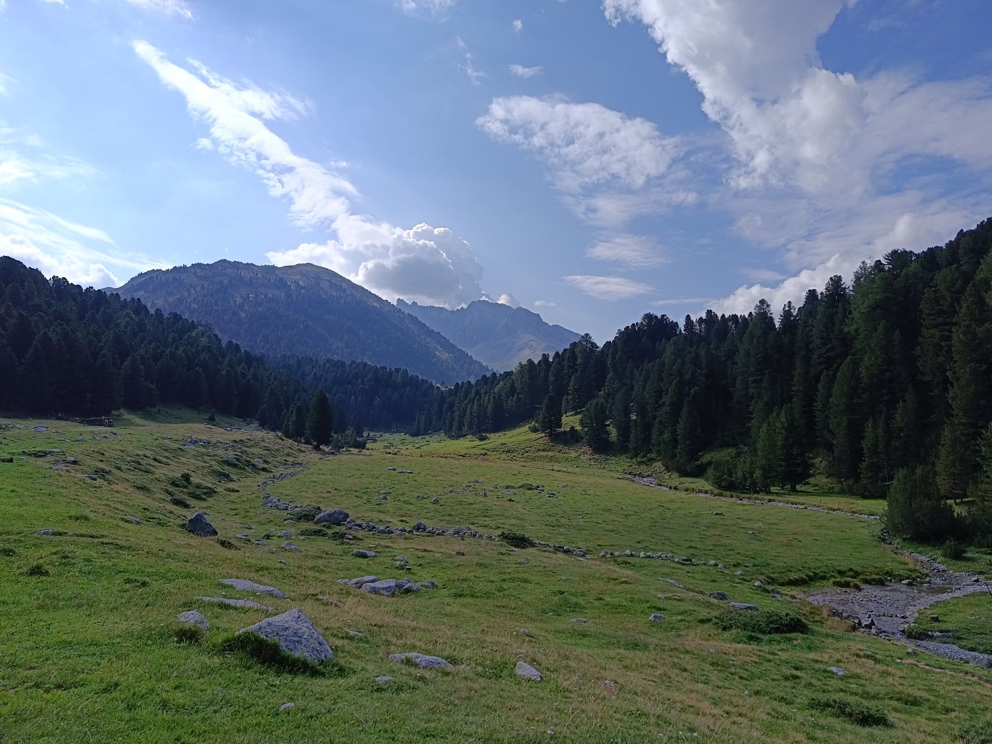
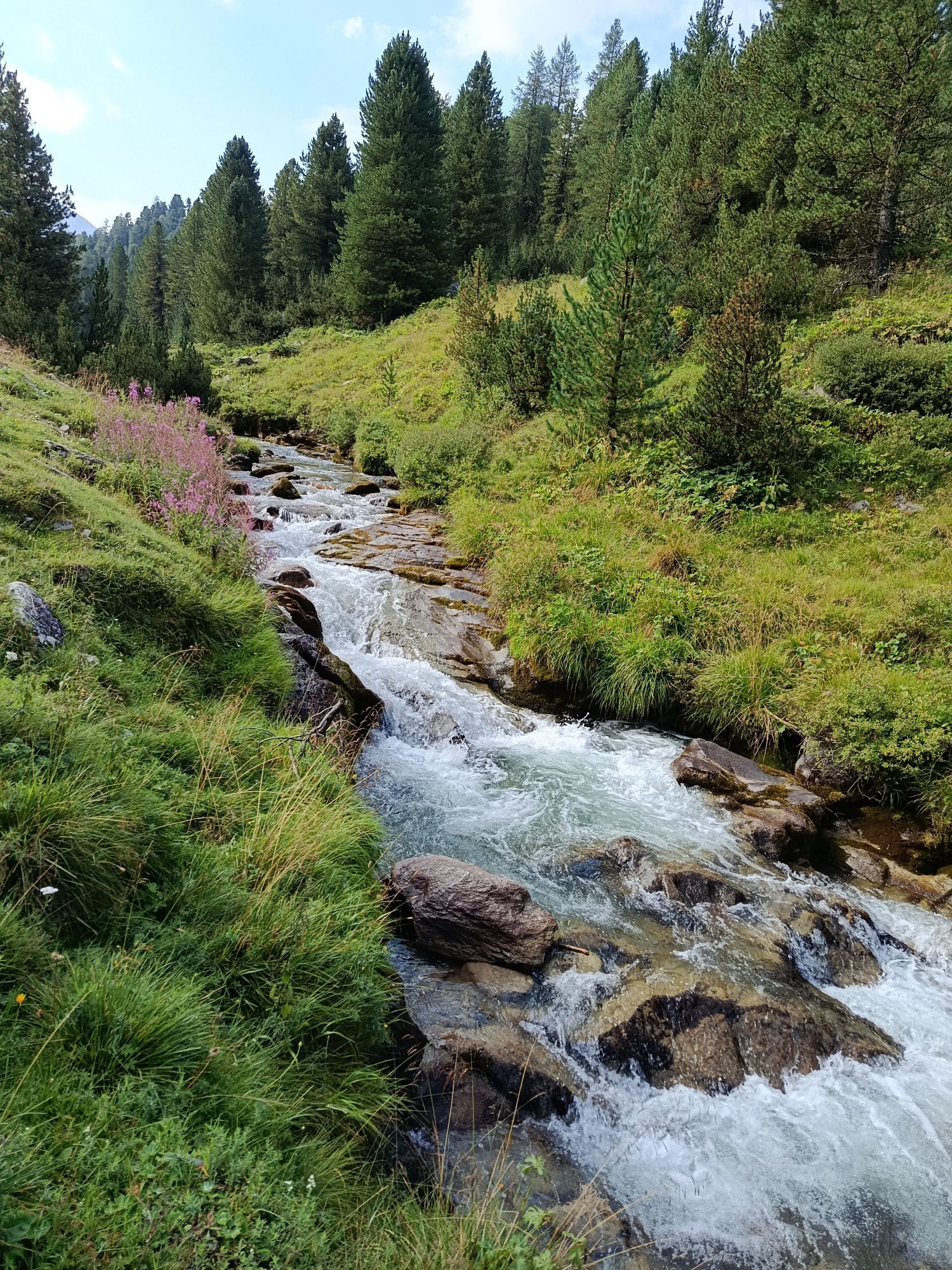
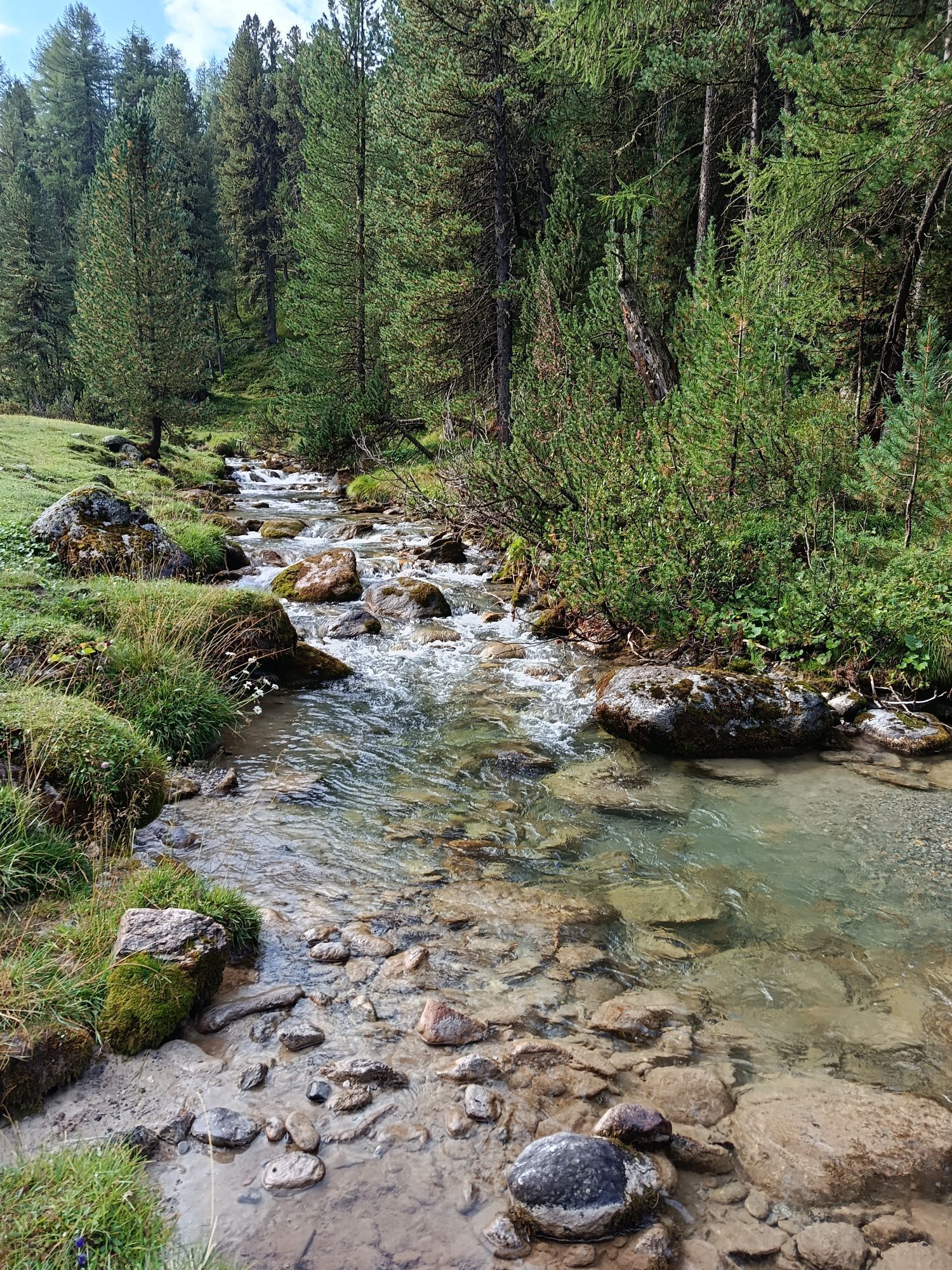
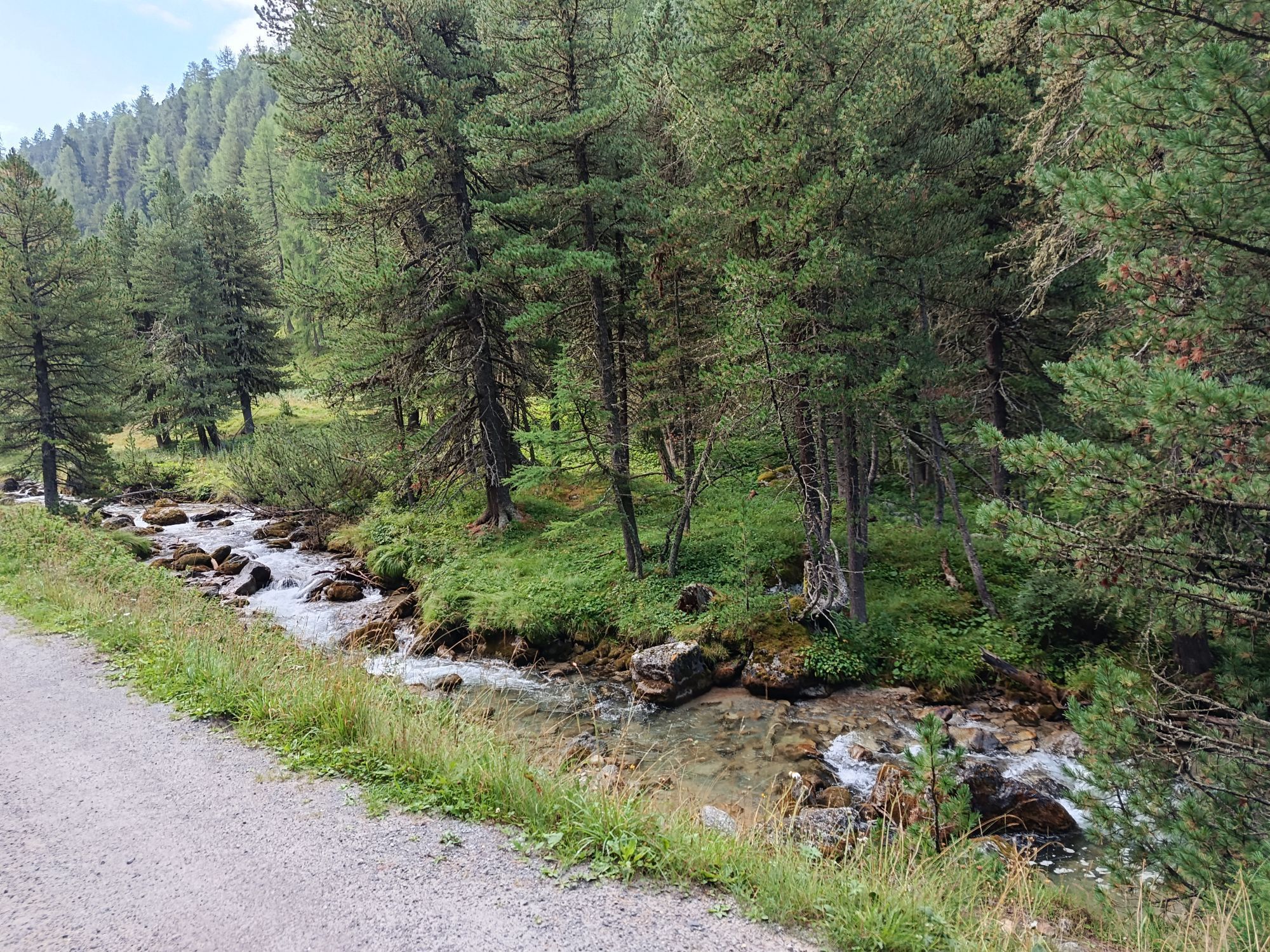
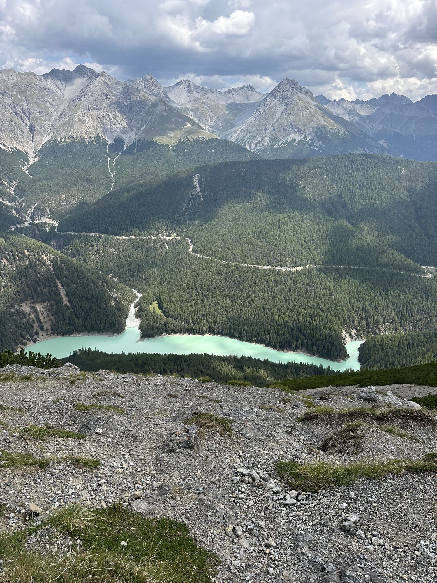
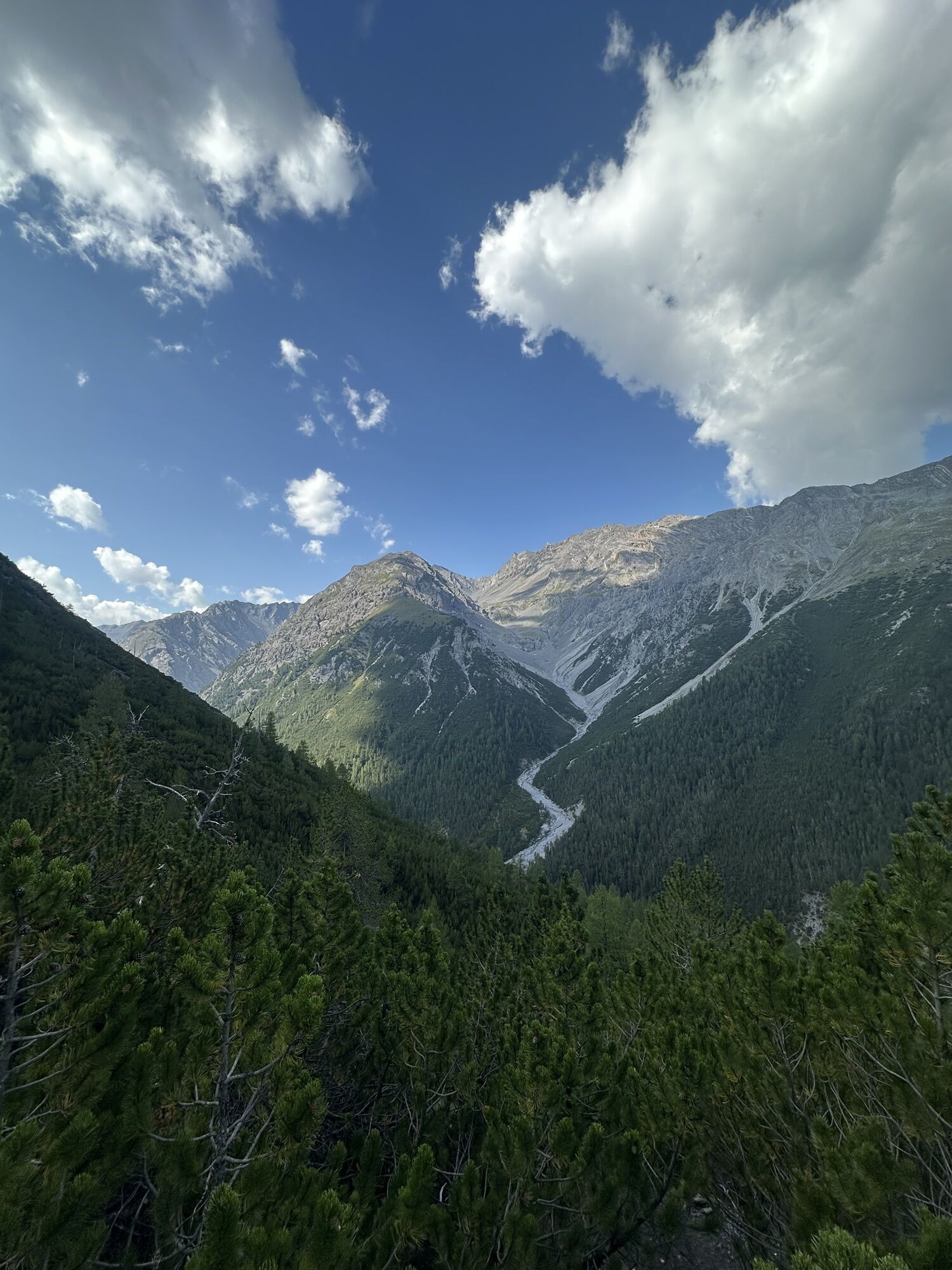
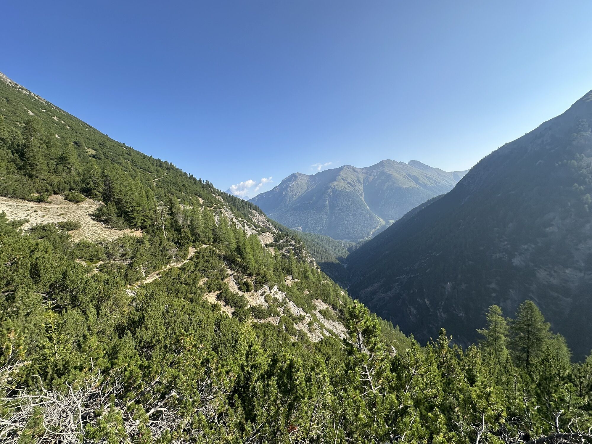
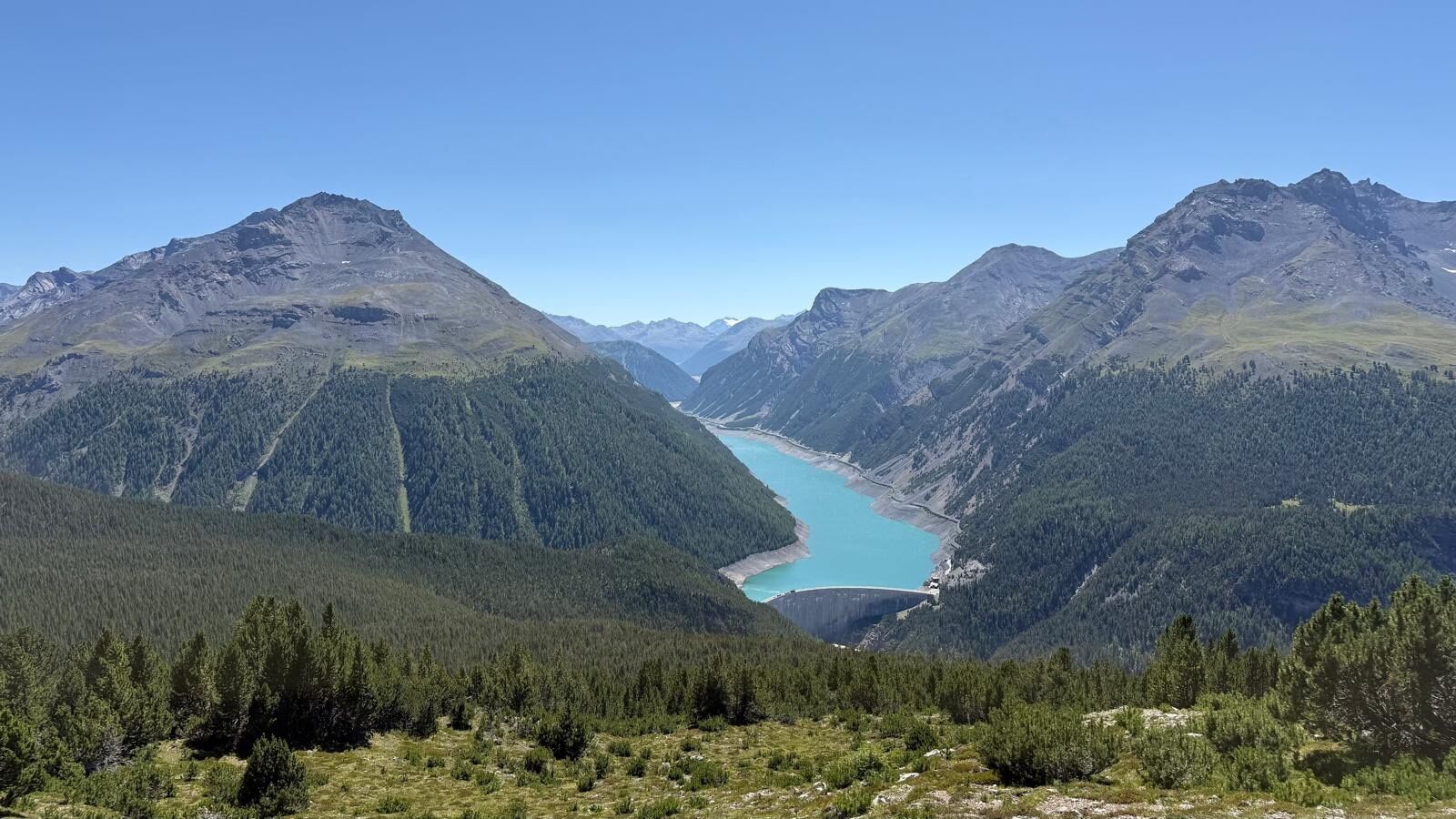
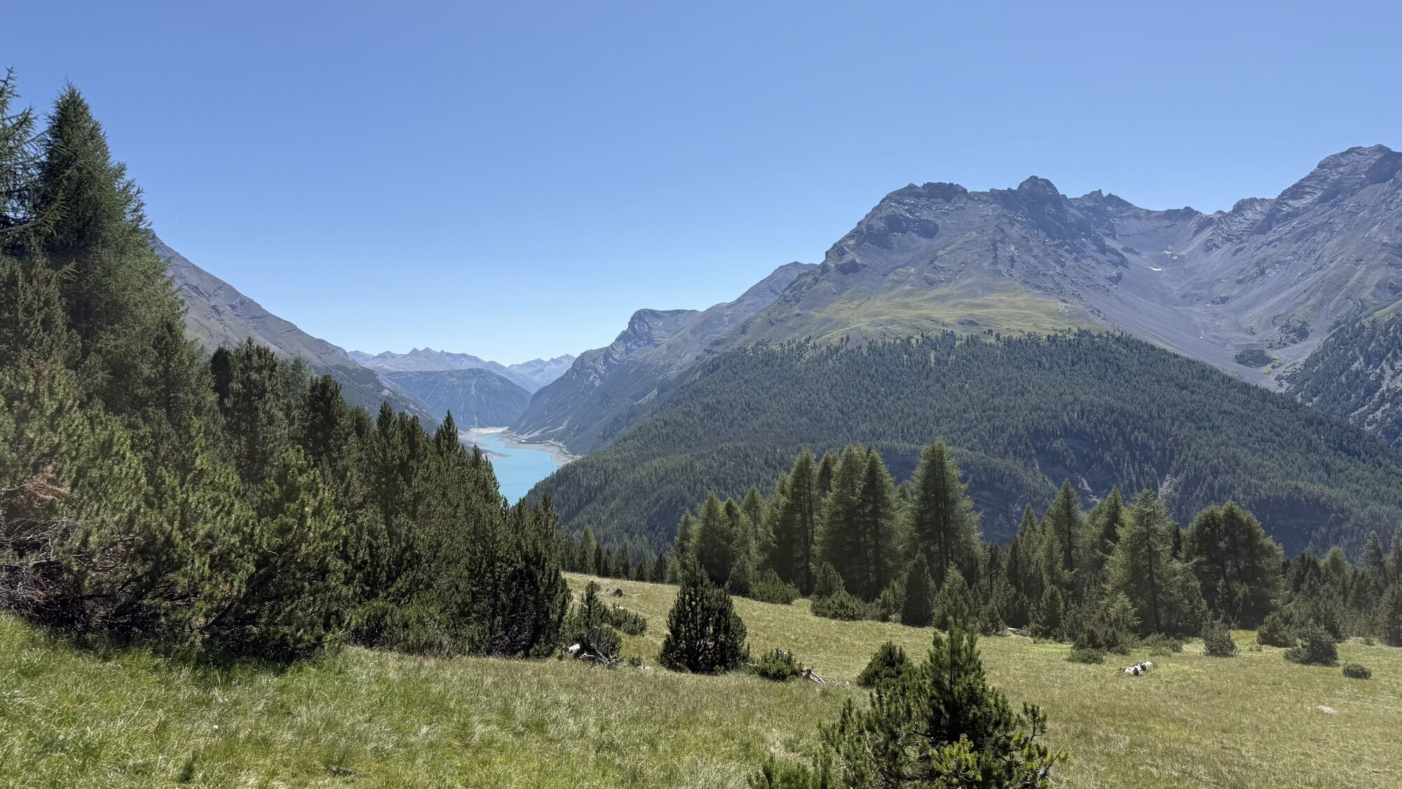
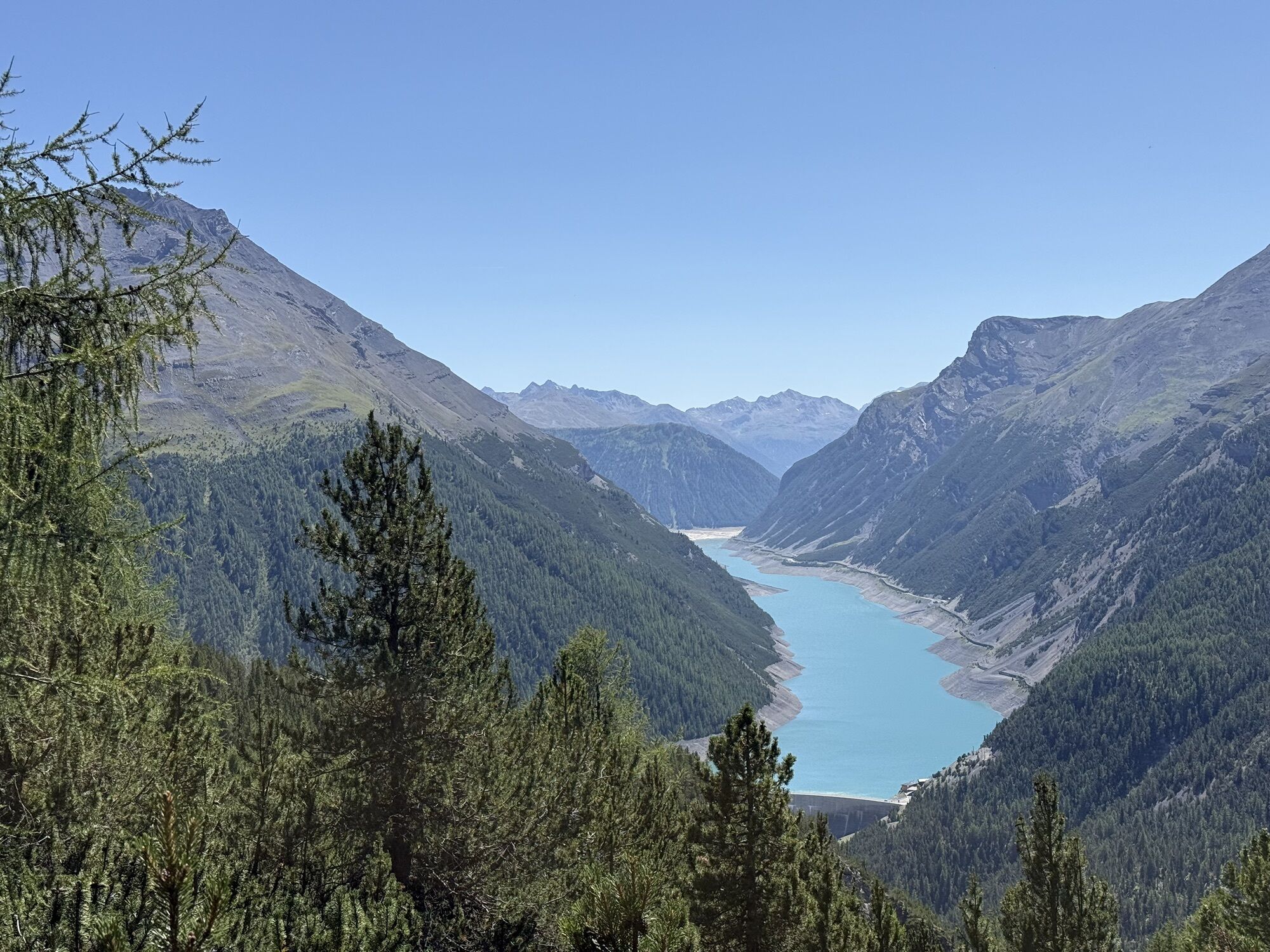
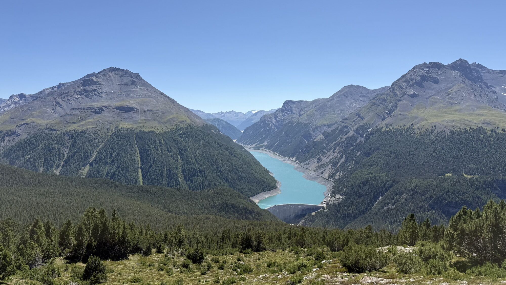
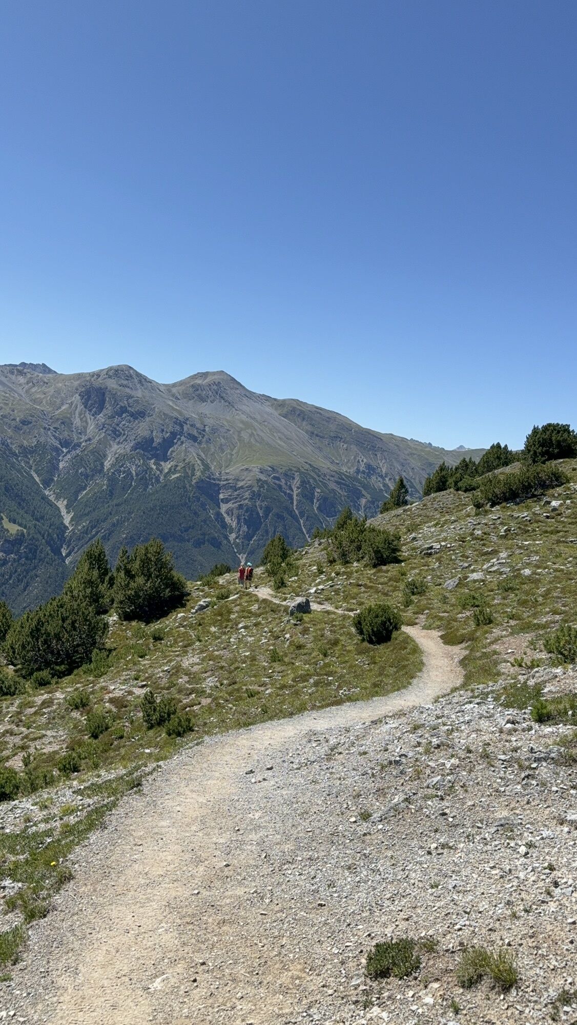
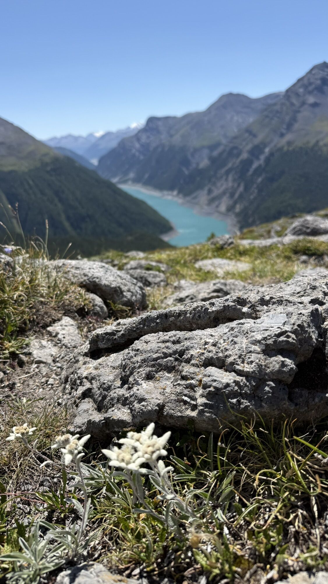
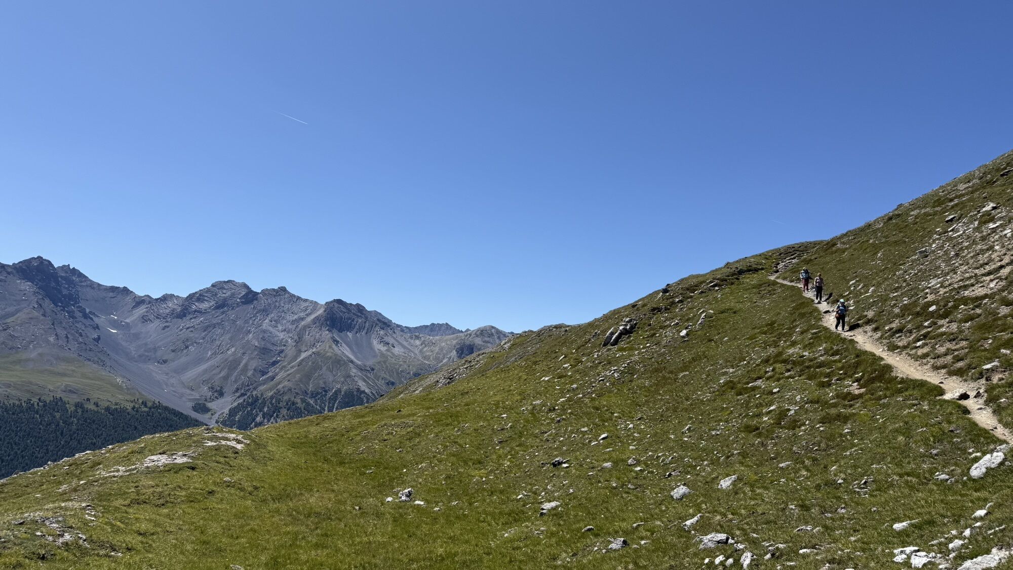
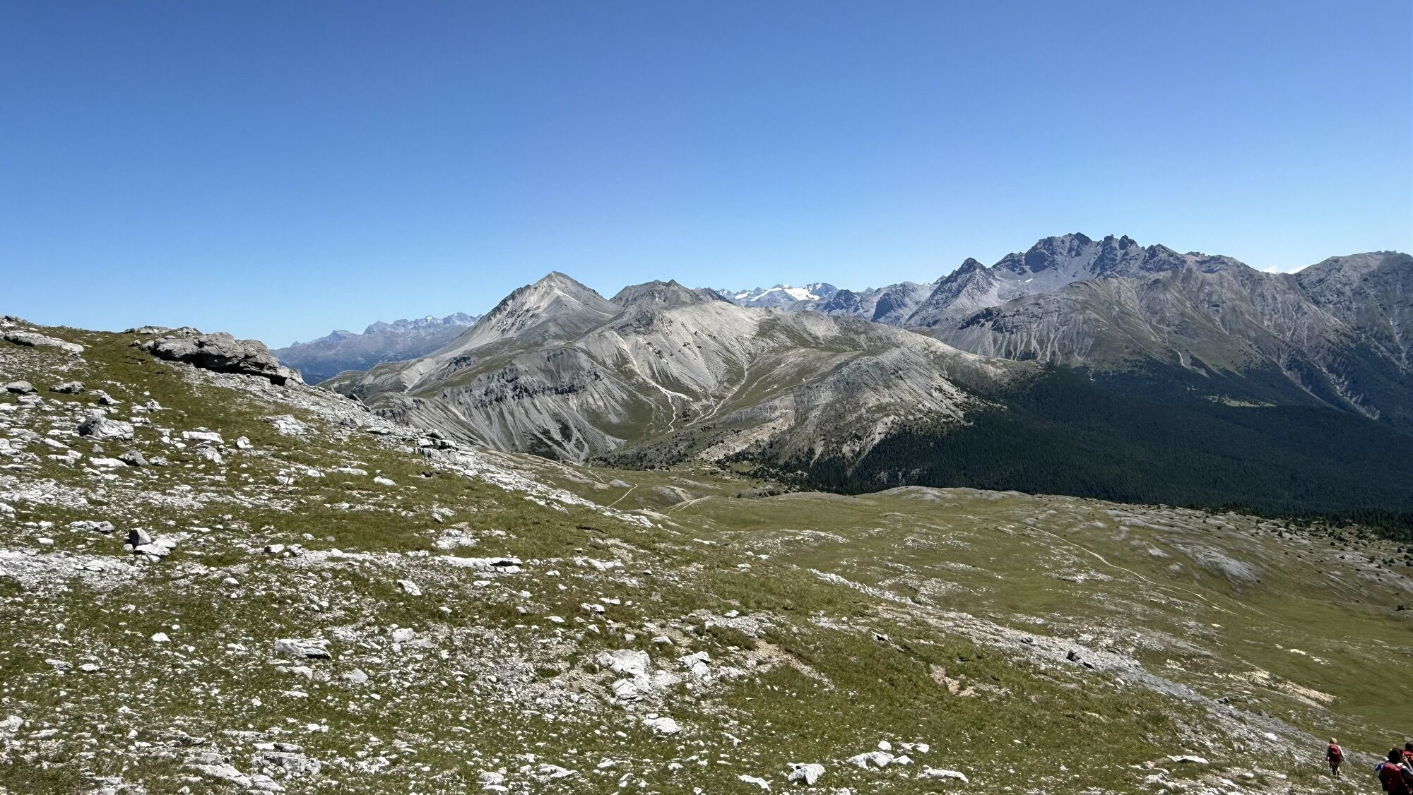
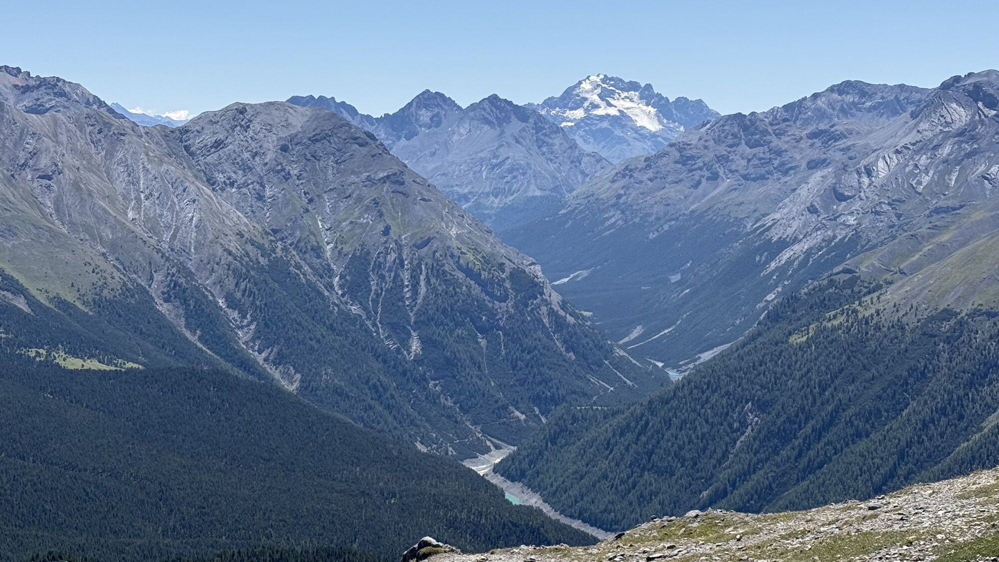
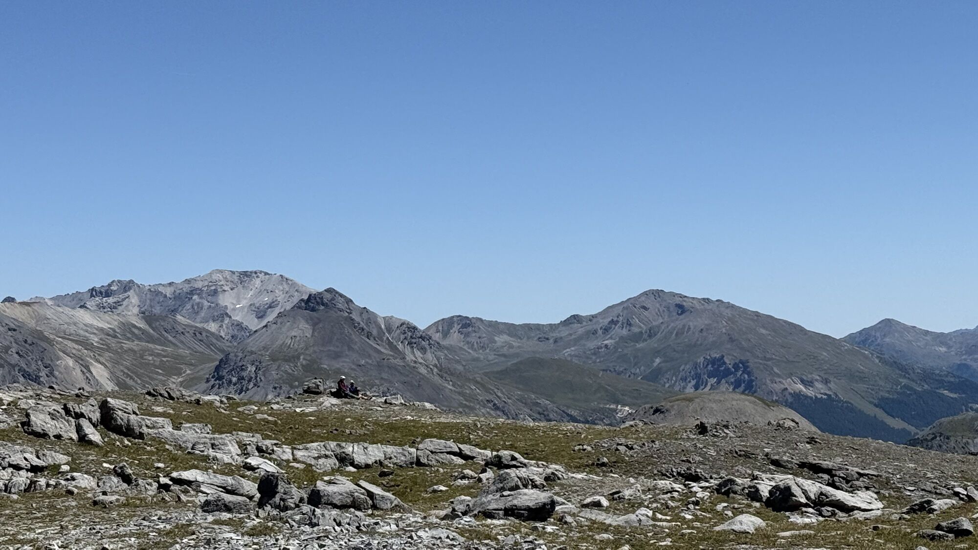
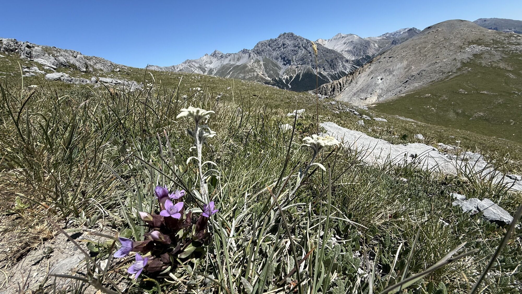
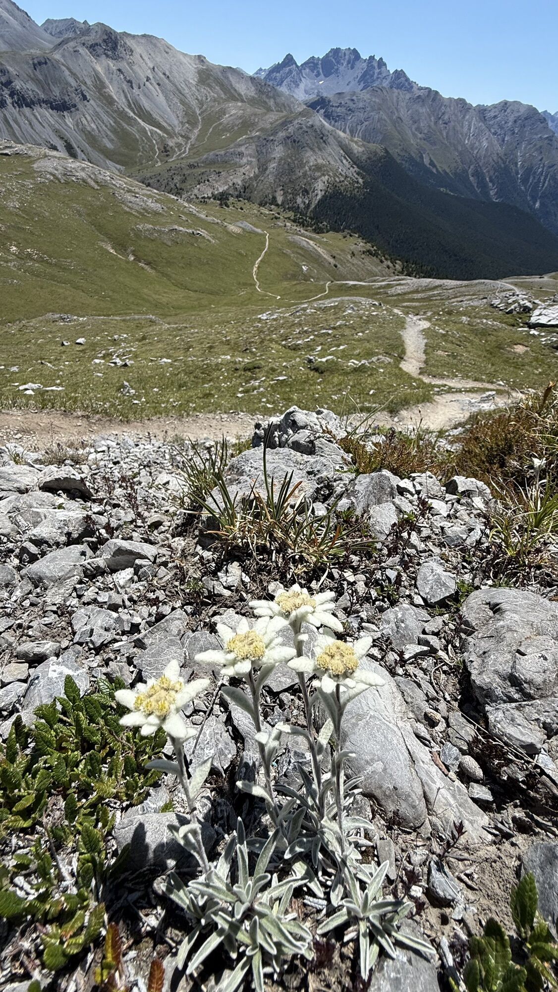
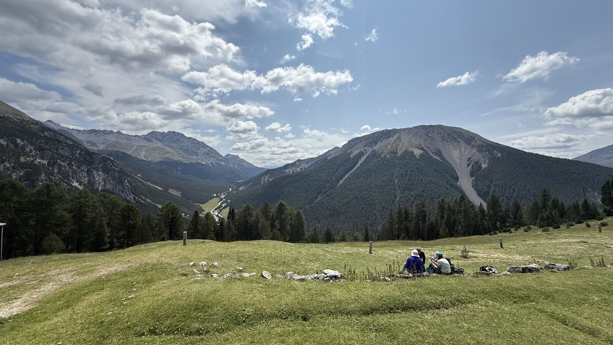
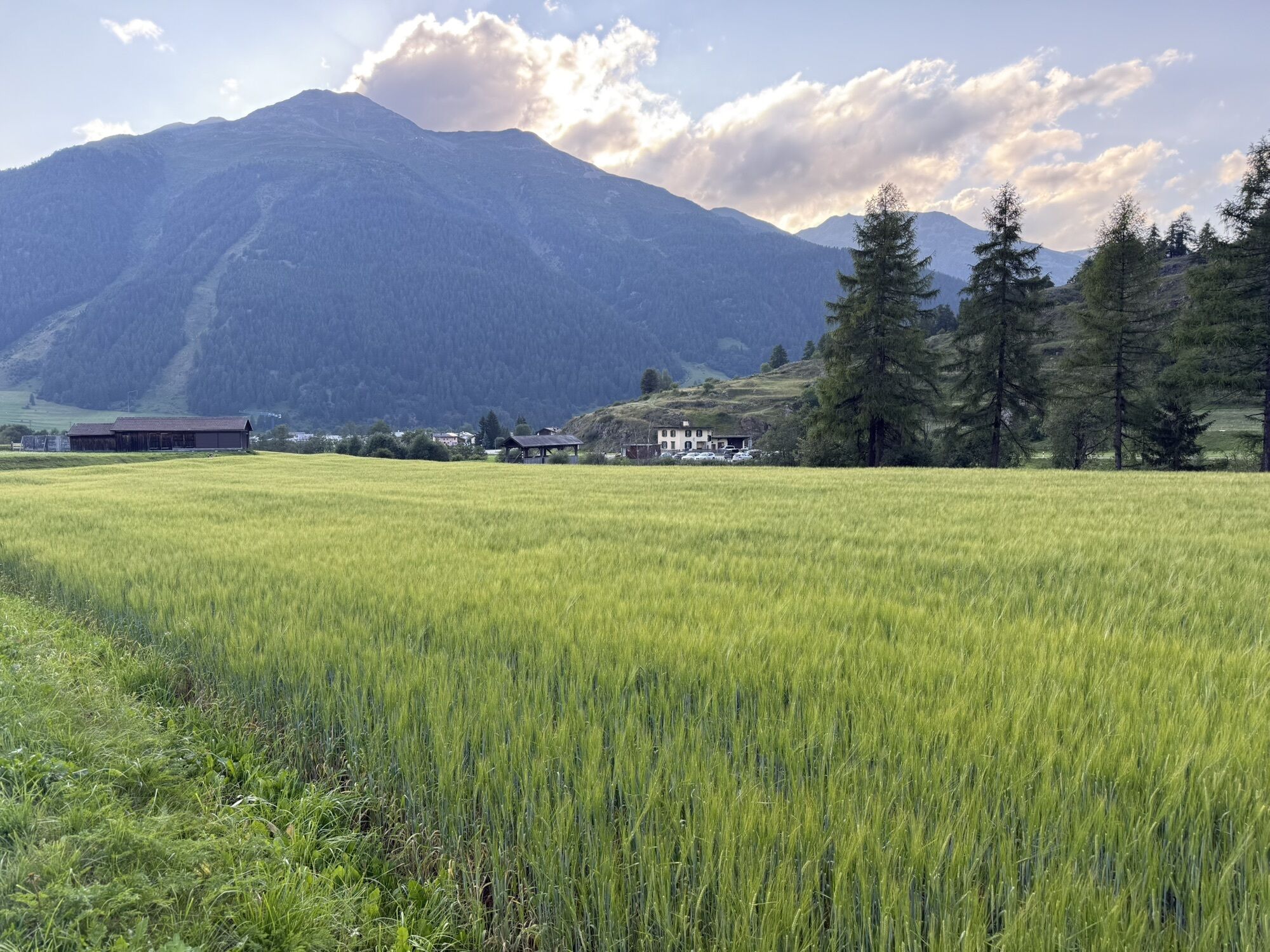
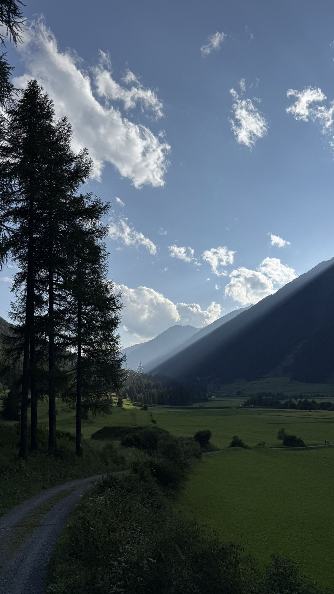
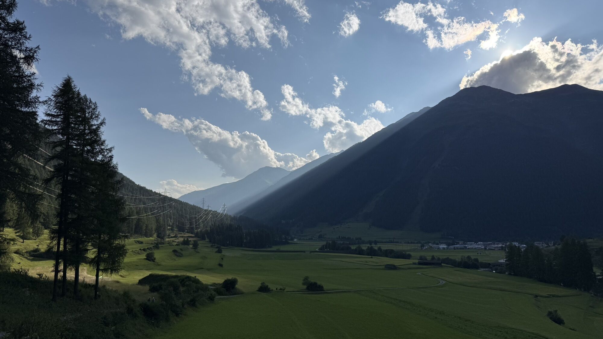
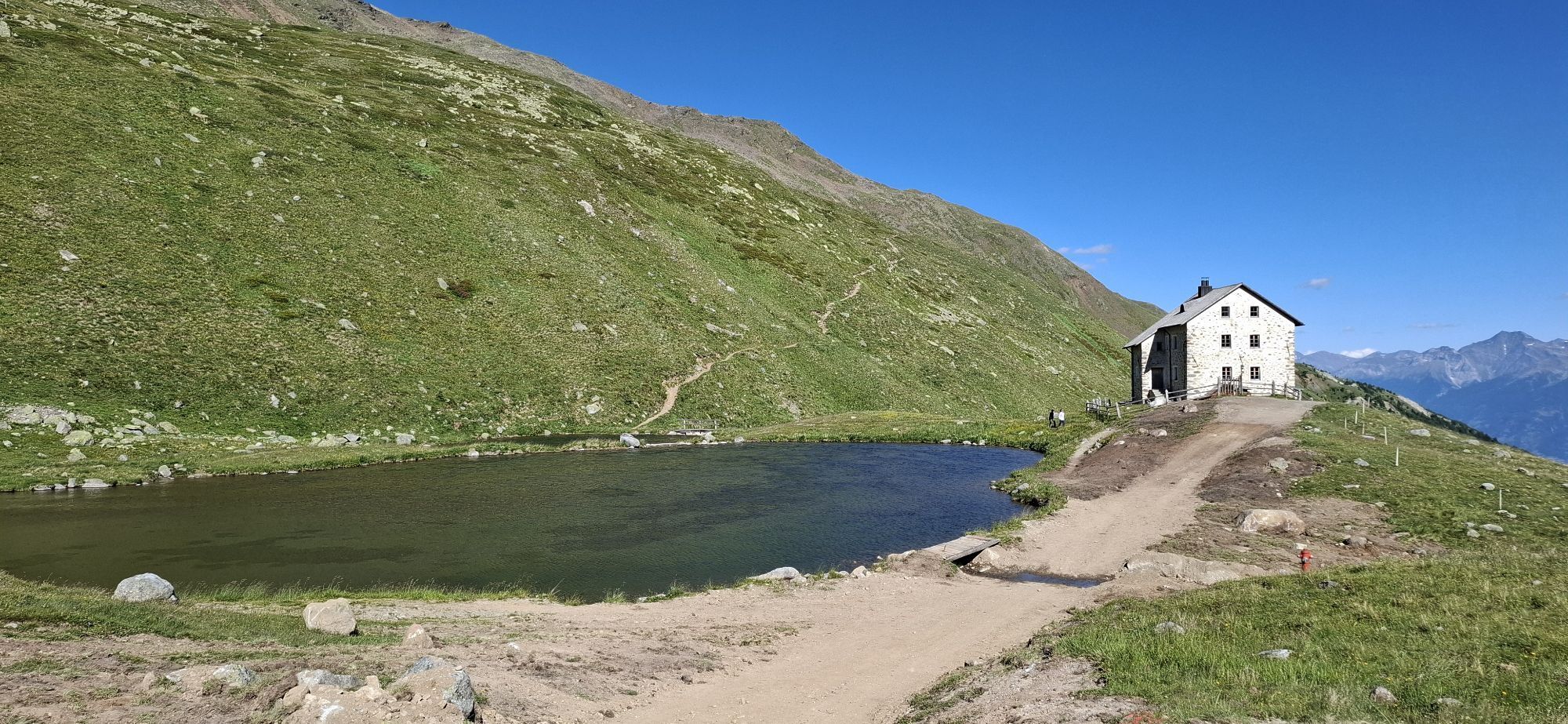
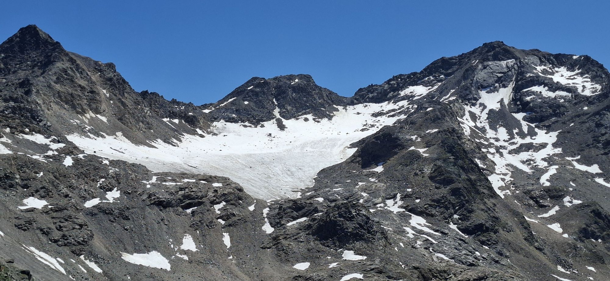
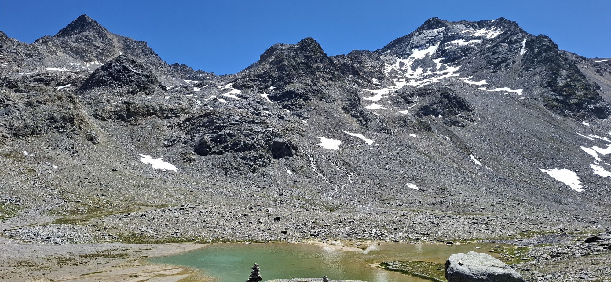
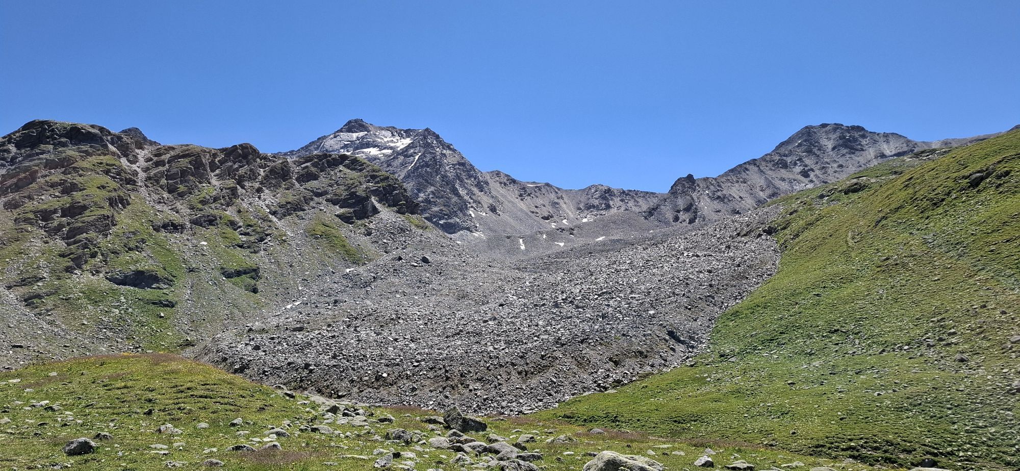
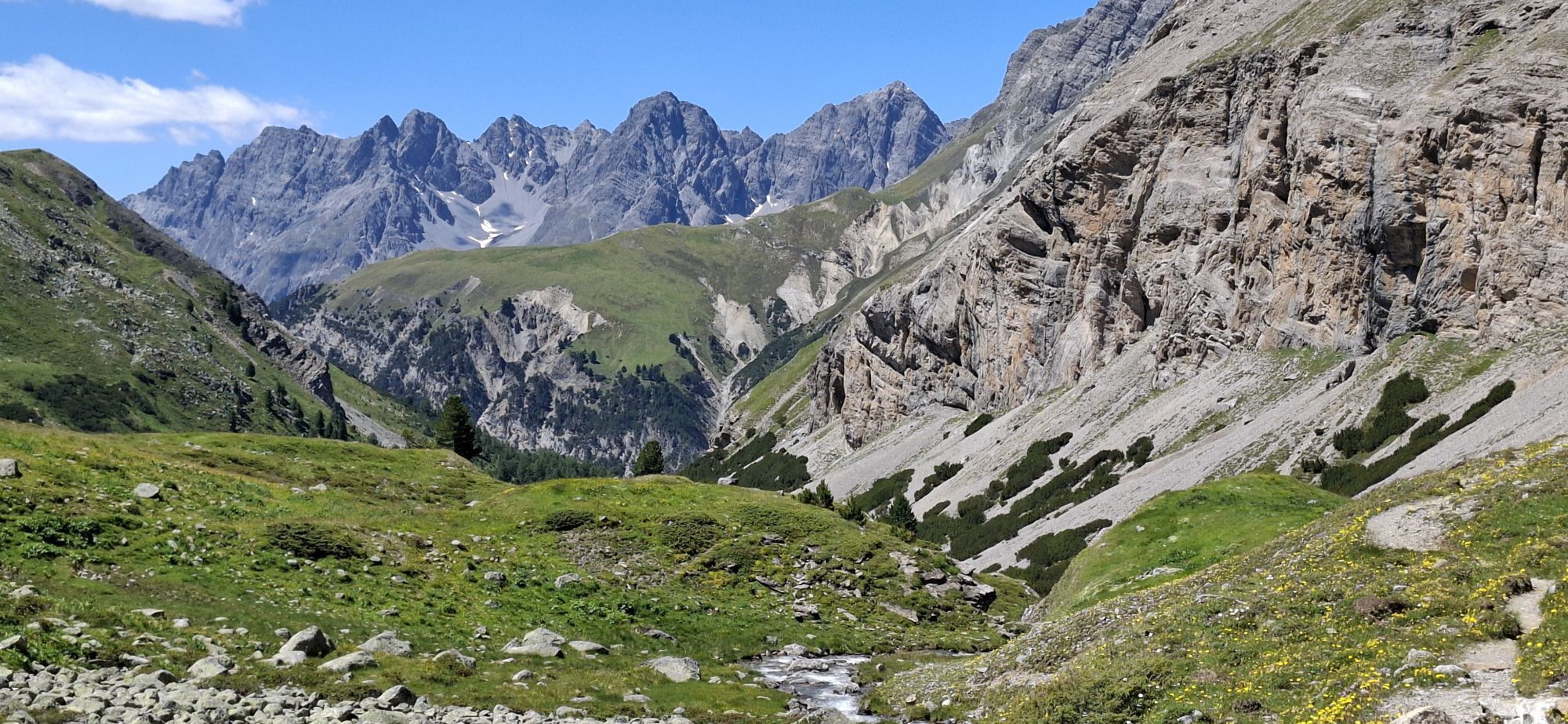
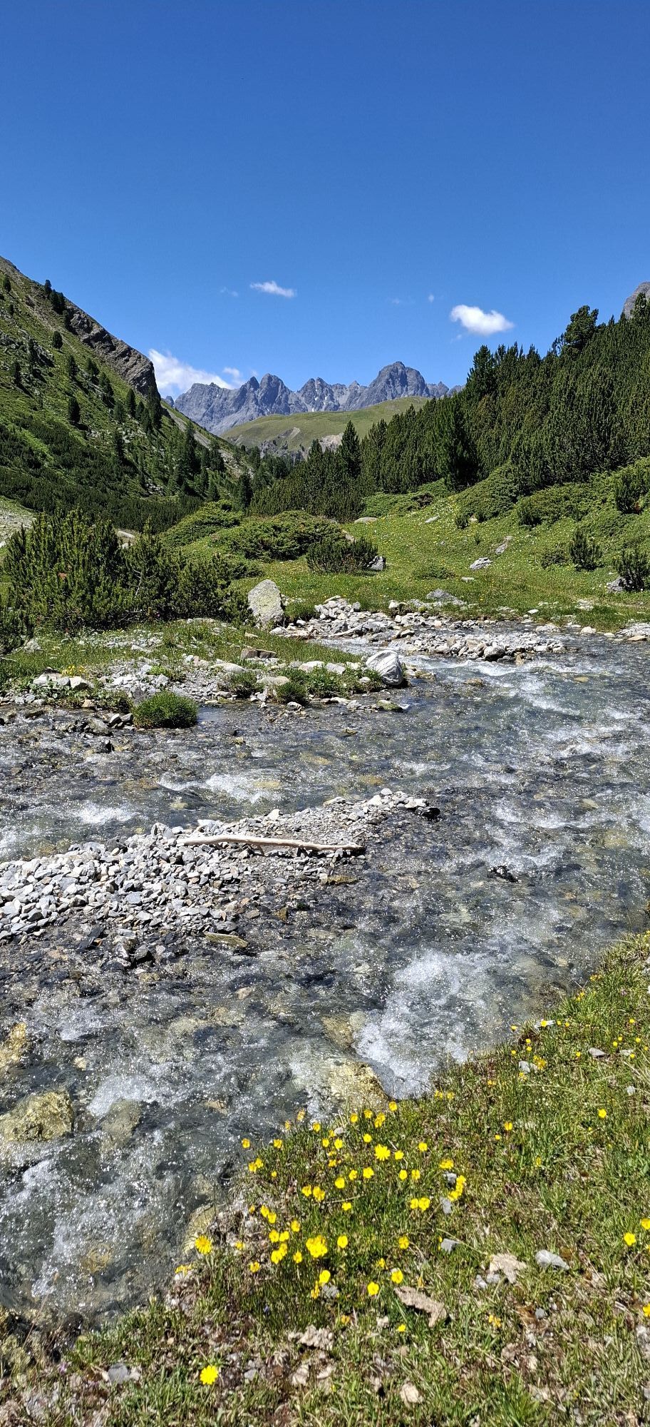
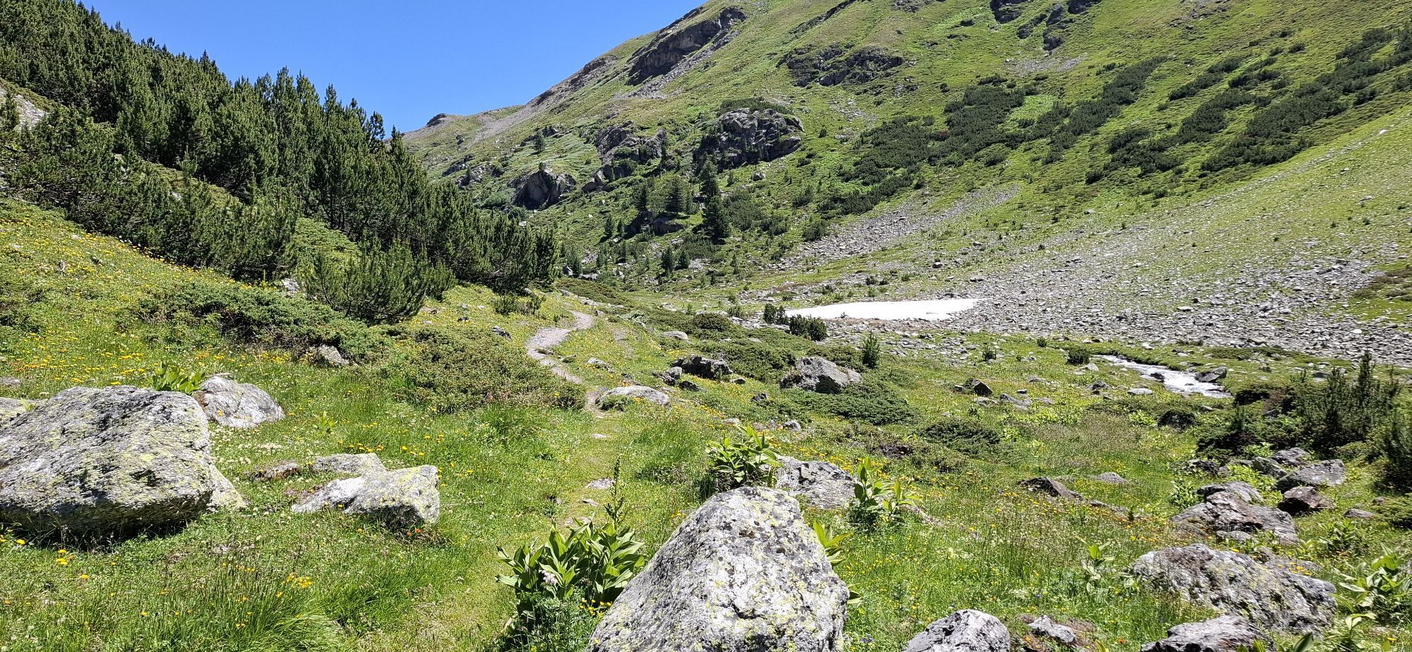
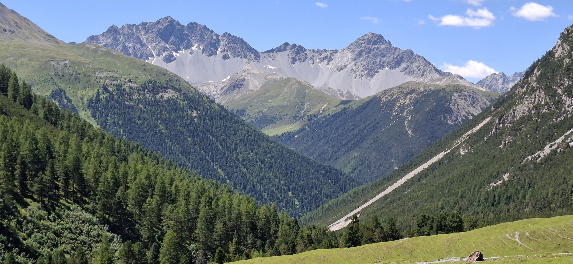
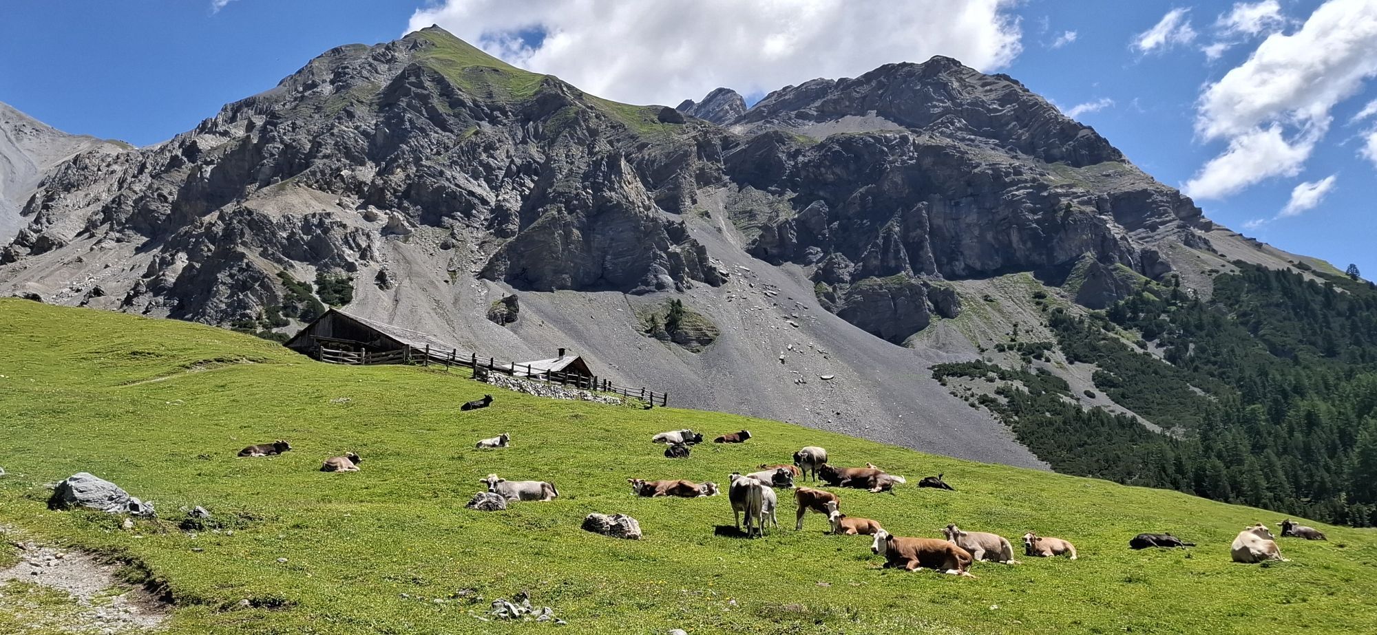
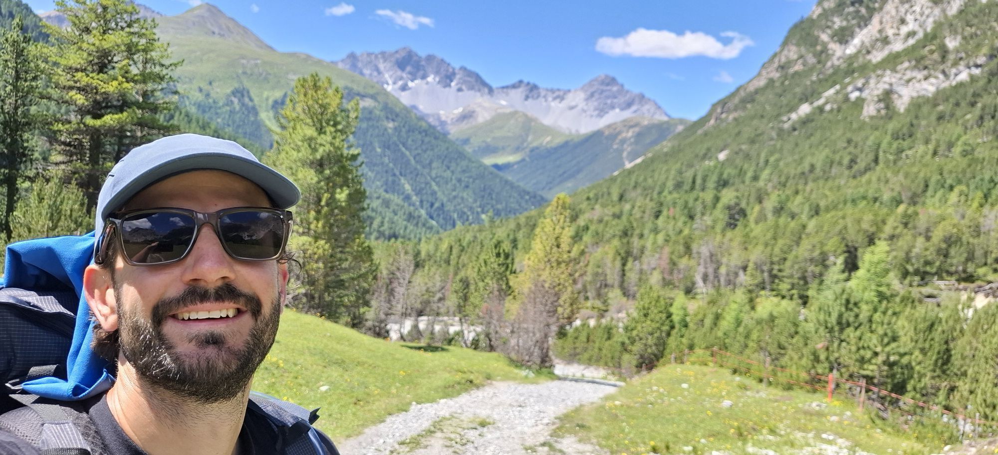
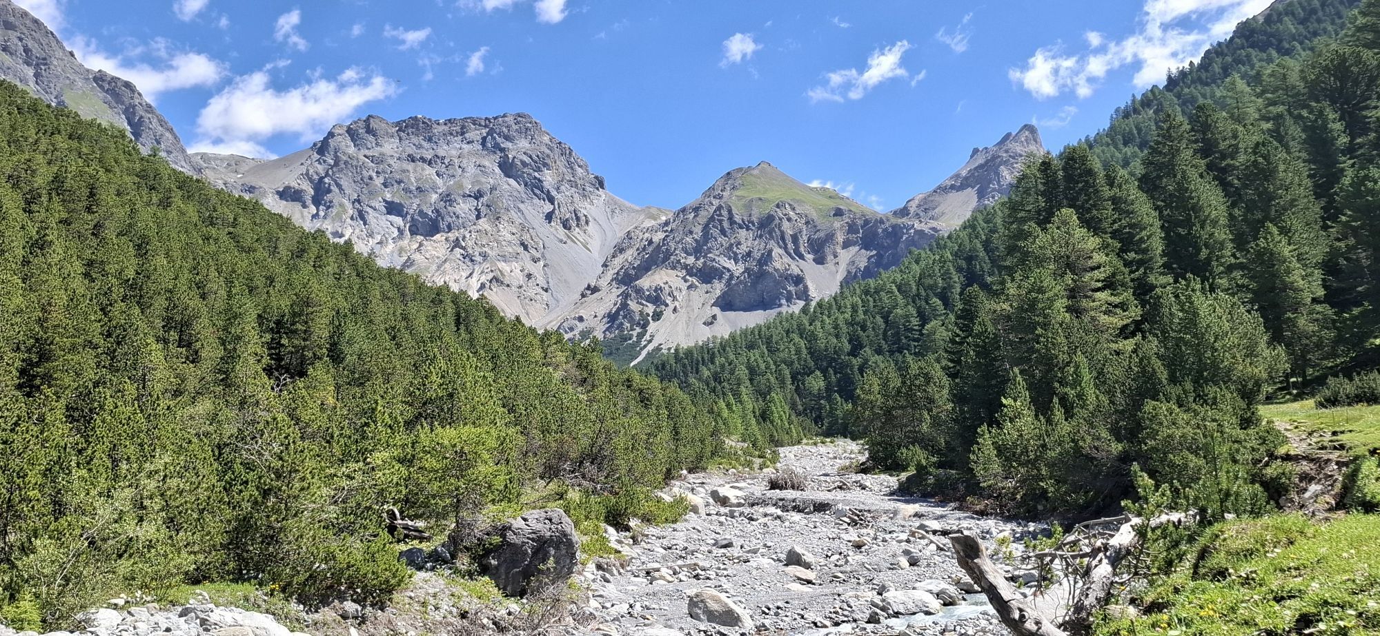
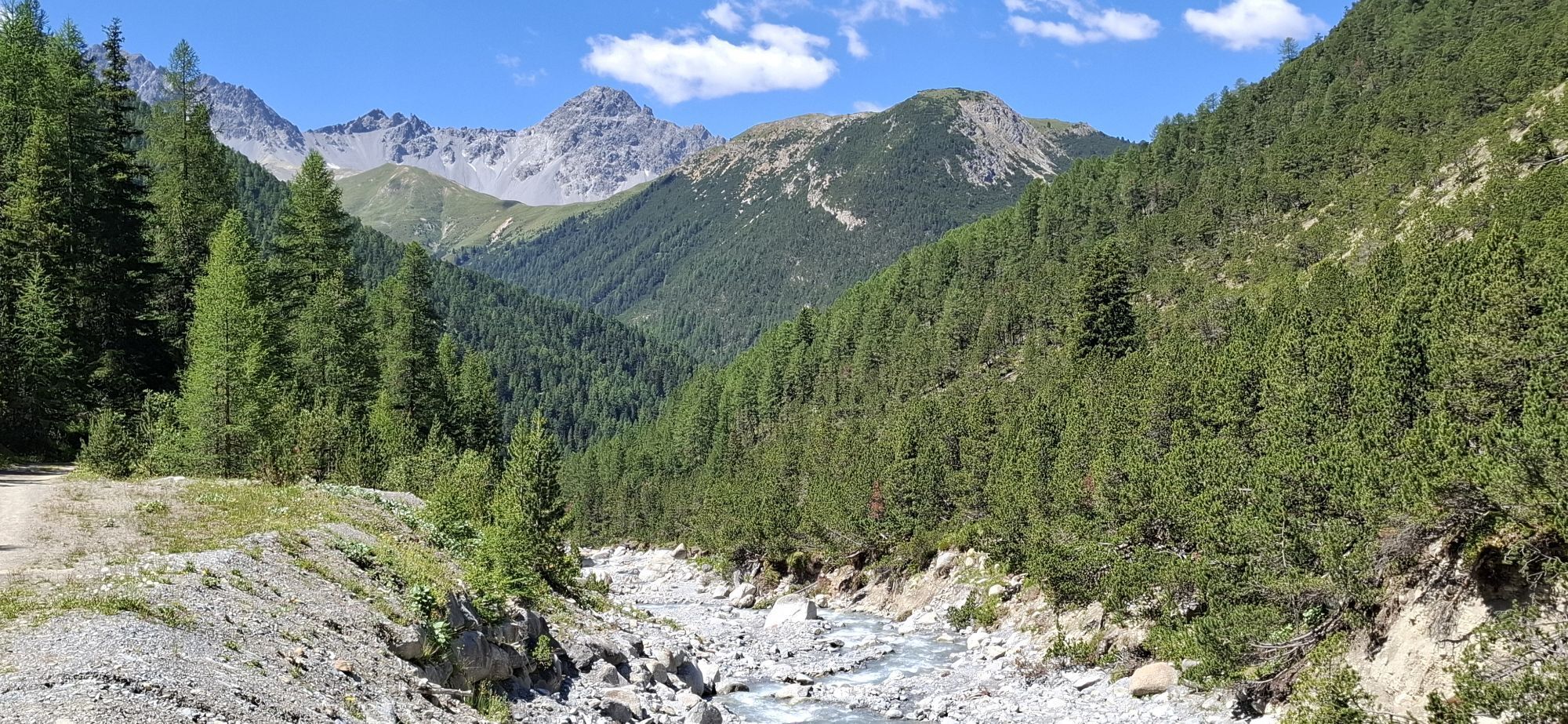
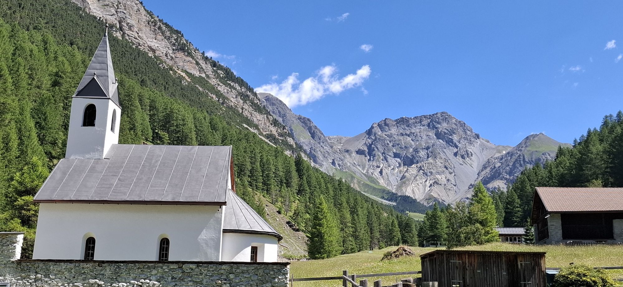
6 tips on the National Park Panorama route:
Val d'Uina: Val d'Uina is a spectacular rock gorge in the Lower Engadine. S-charl: 13 kilometers away from Scuol, you dive into the rugged mountain world of...6 tips on the National Park Panorama route:
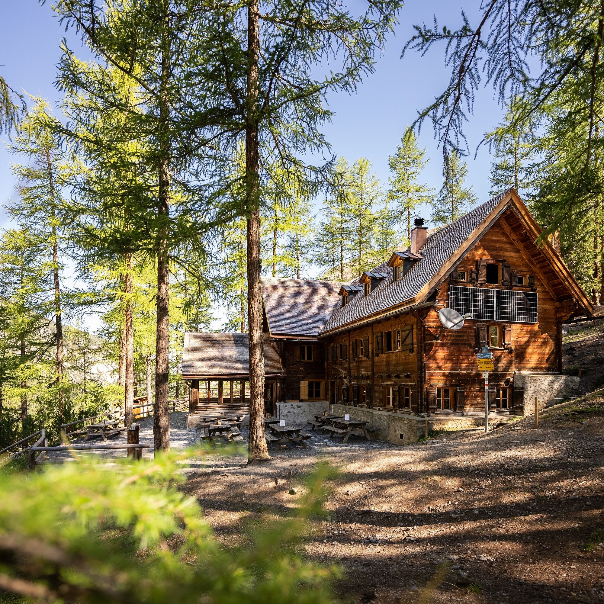
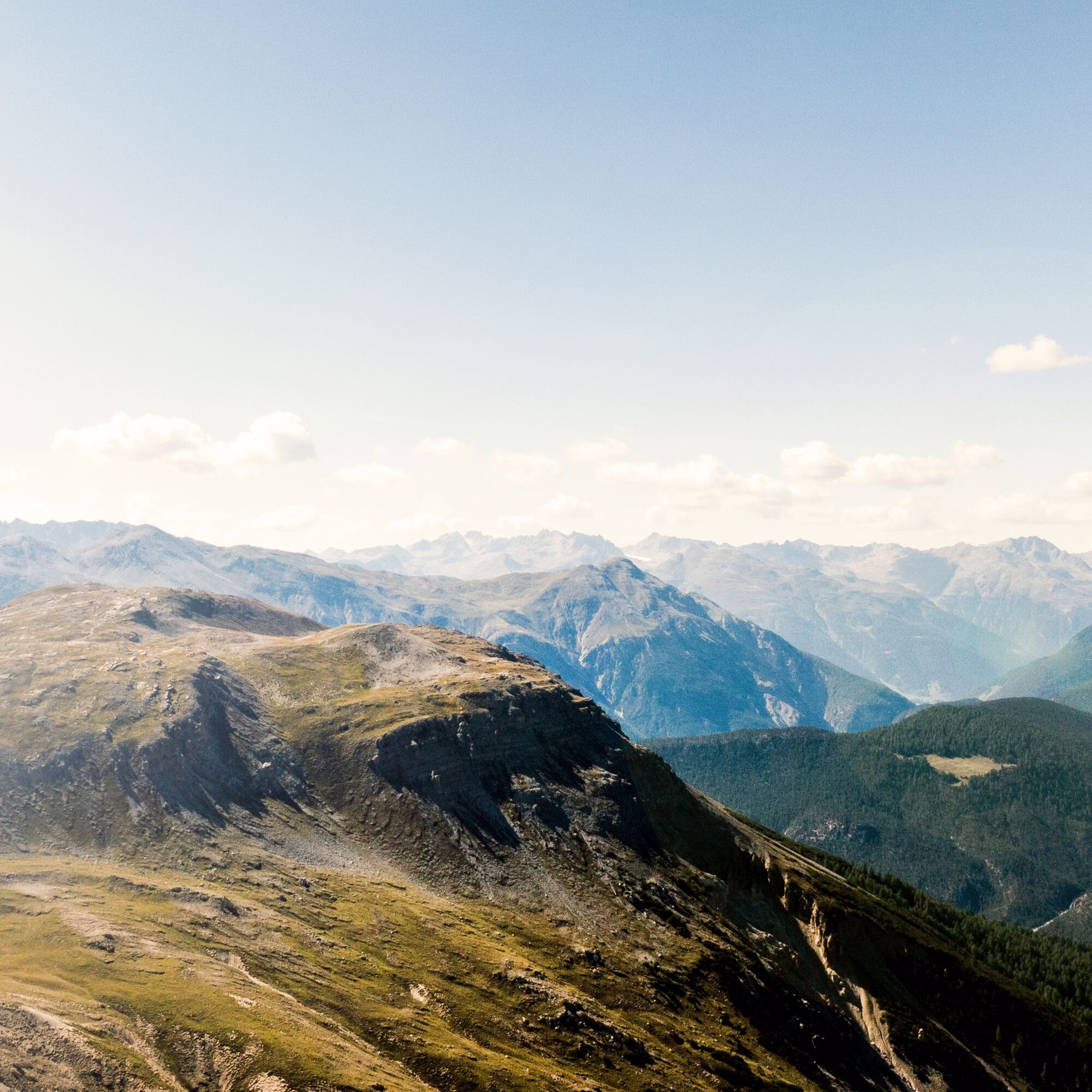
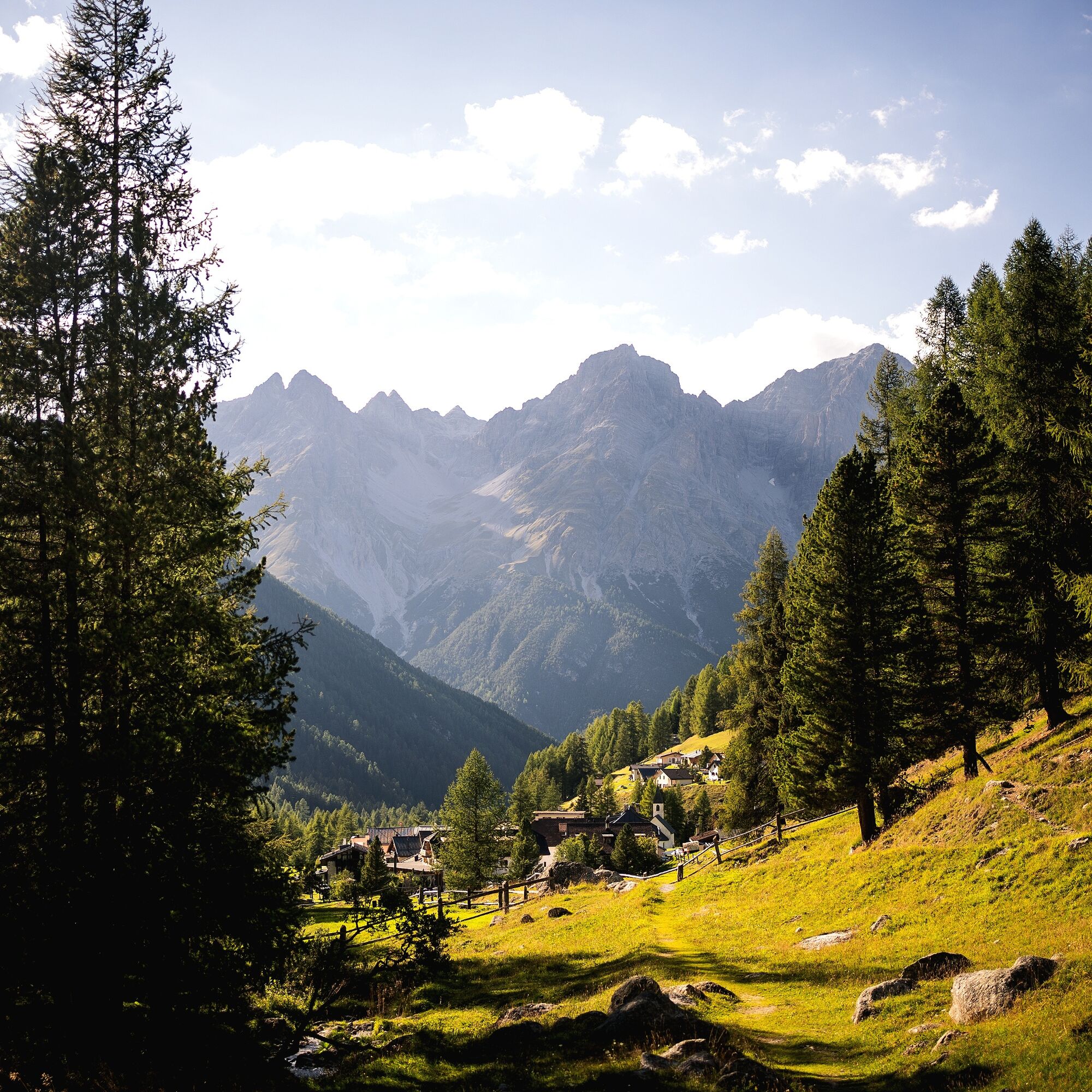
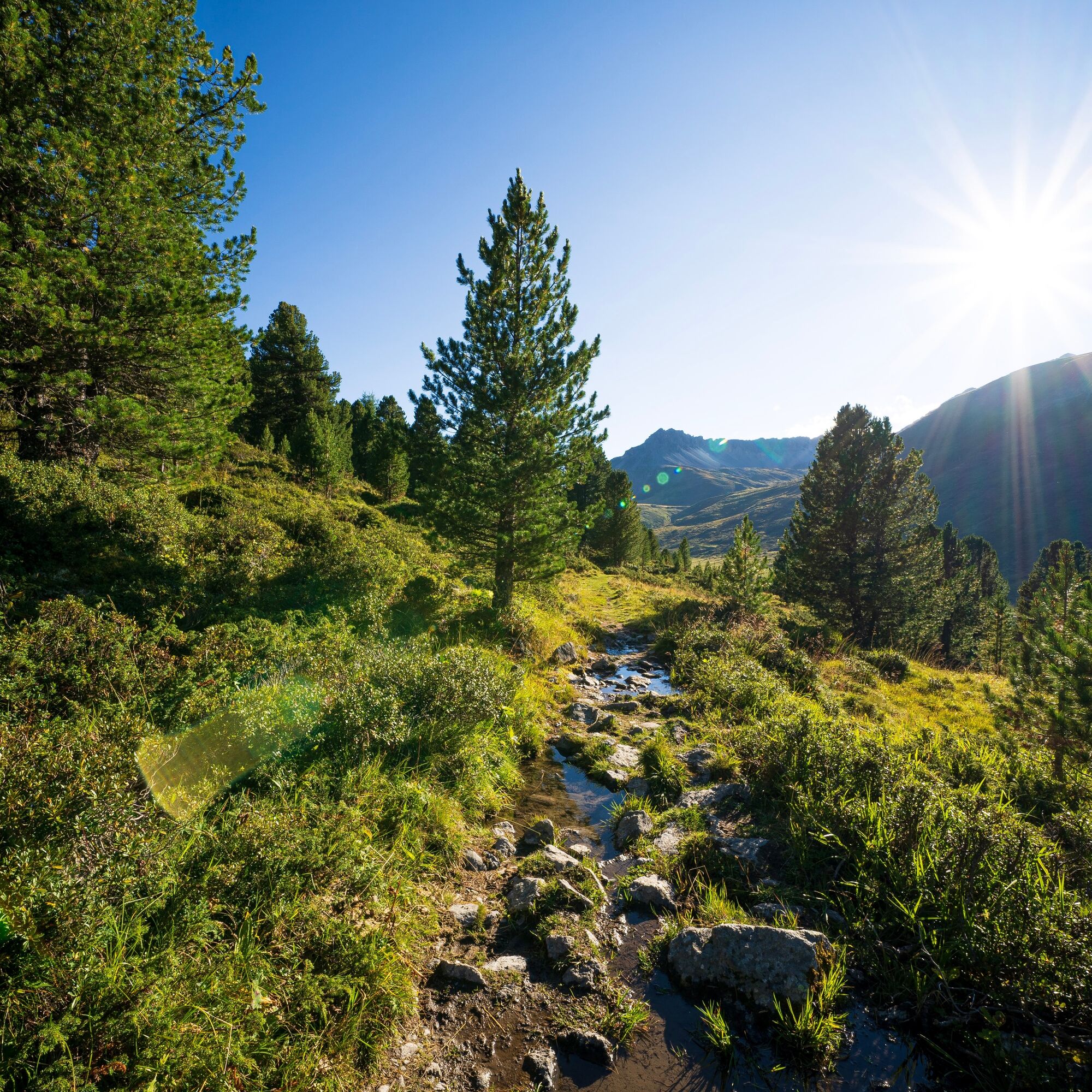
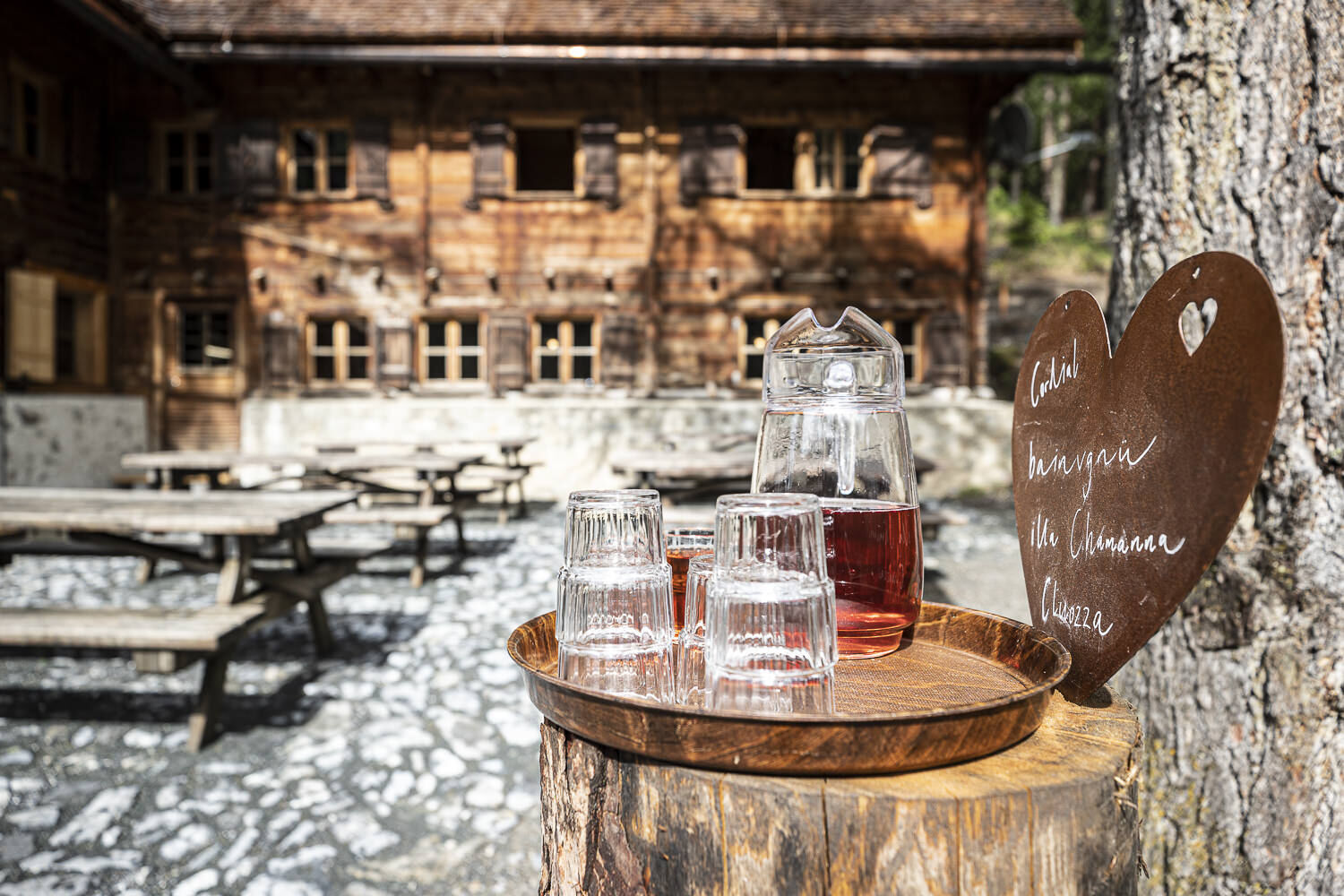
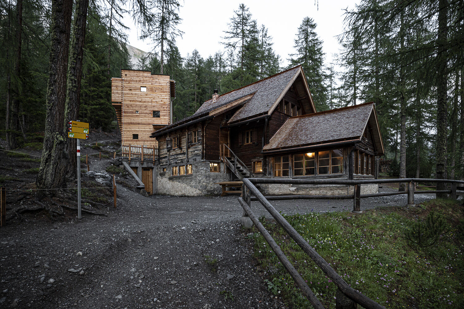
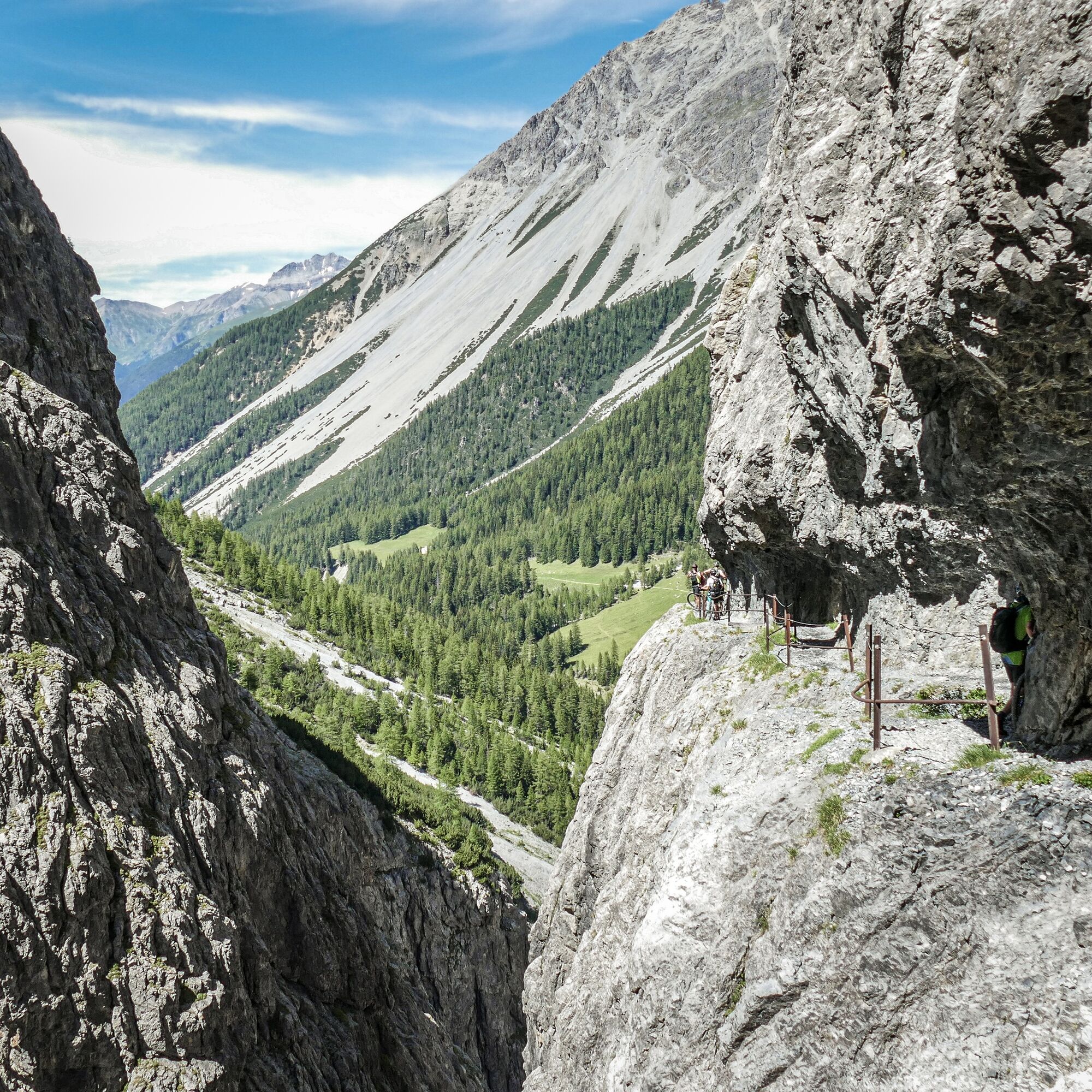
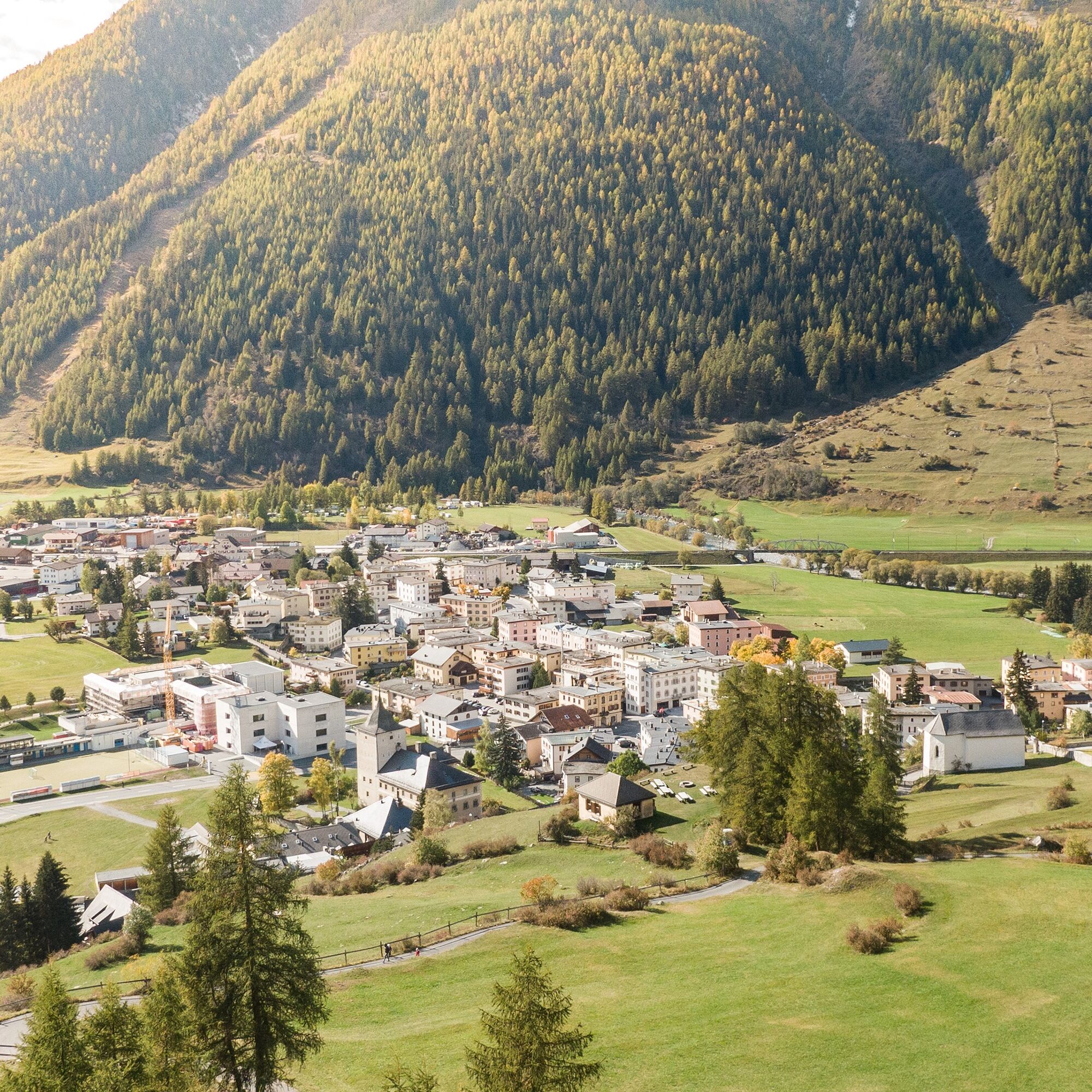
Val d'Uina: Val d'Uina is a spectacular rock gorge in the Lower Engadine. S-charl: 13 kilometers away from Scuol, you dive into the rugged mountain world of S-charl. God da Tamangur: God da Tamangur is Europe's highest contiguous Swiss pine forest. Munt la Schera: The view from Munt la Schera extends far into the neighboring Italian National Park Stelvio. Chamanna Cluozza: The Chamanna Cluozza is the only staffed hut in the National Park. Lavin: The mountaineering village Lavin, which has committed itself to gentle tourism.Those who want to visit the National Park region between the Lower Engadine and Val Müstair do so deliberately. It lies hidden and remote in the southeastern corner of the country, although accessibility via the Vereina tunnel is not so bad.
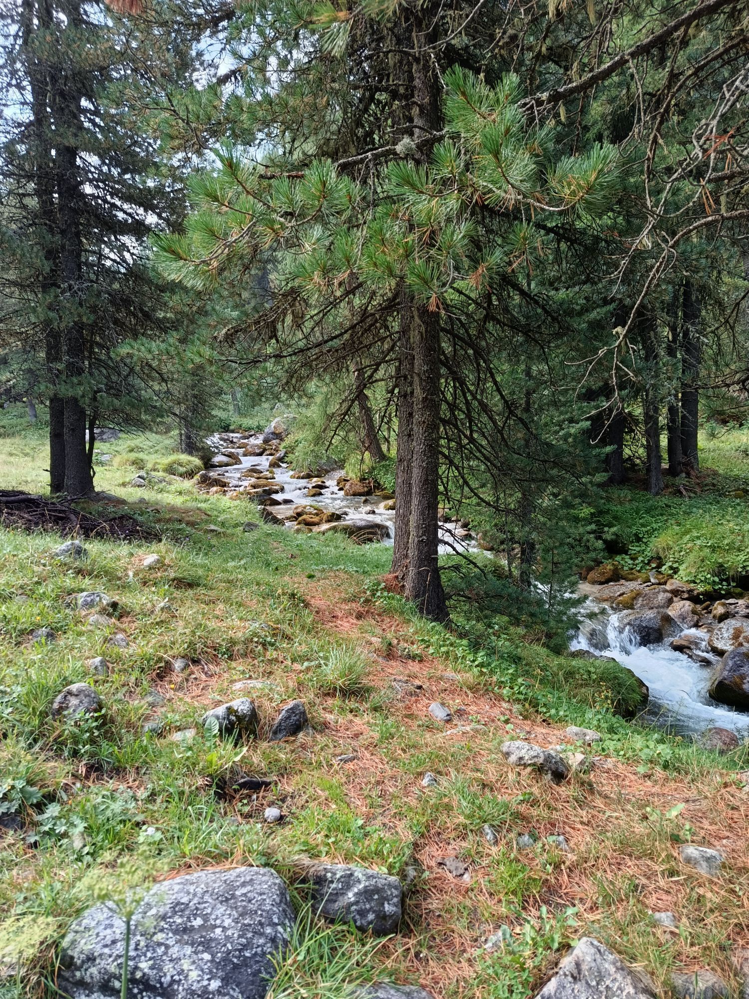
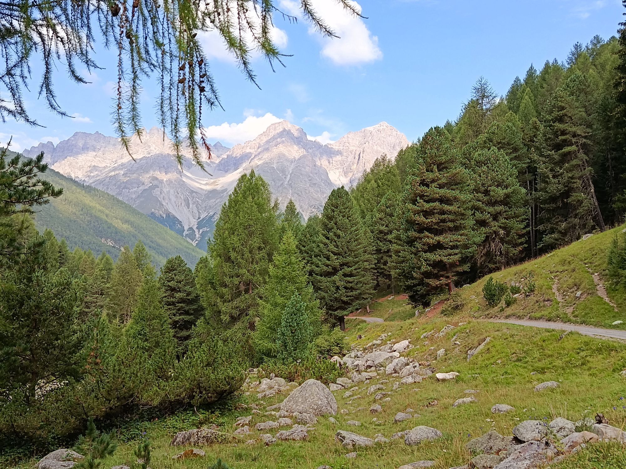
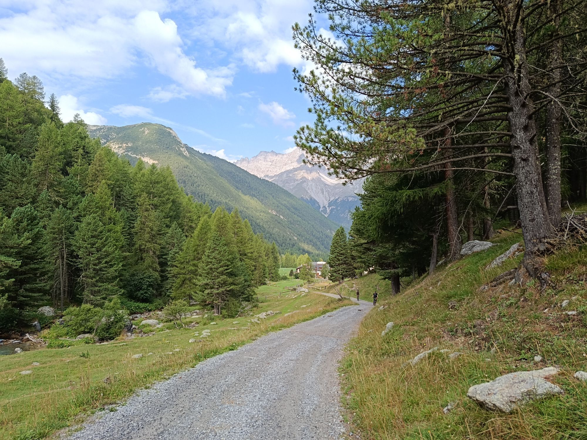
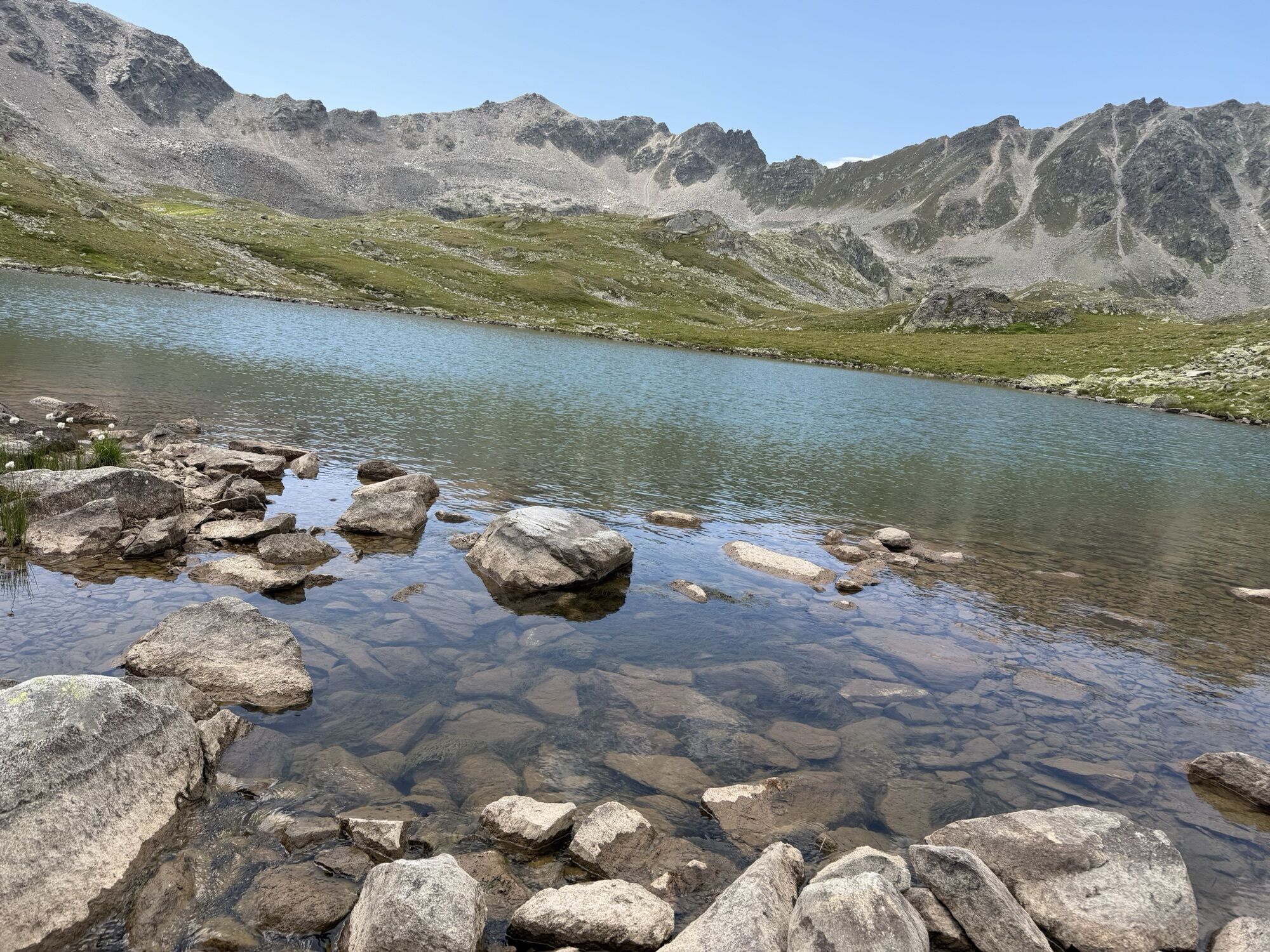
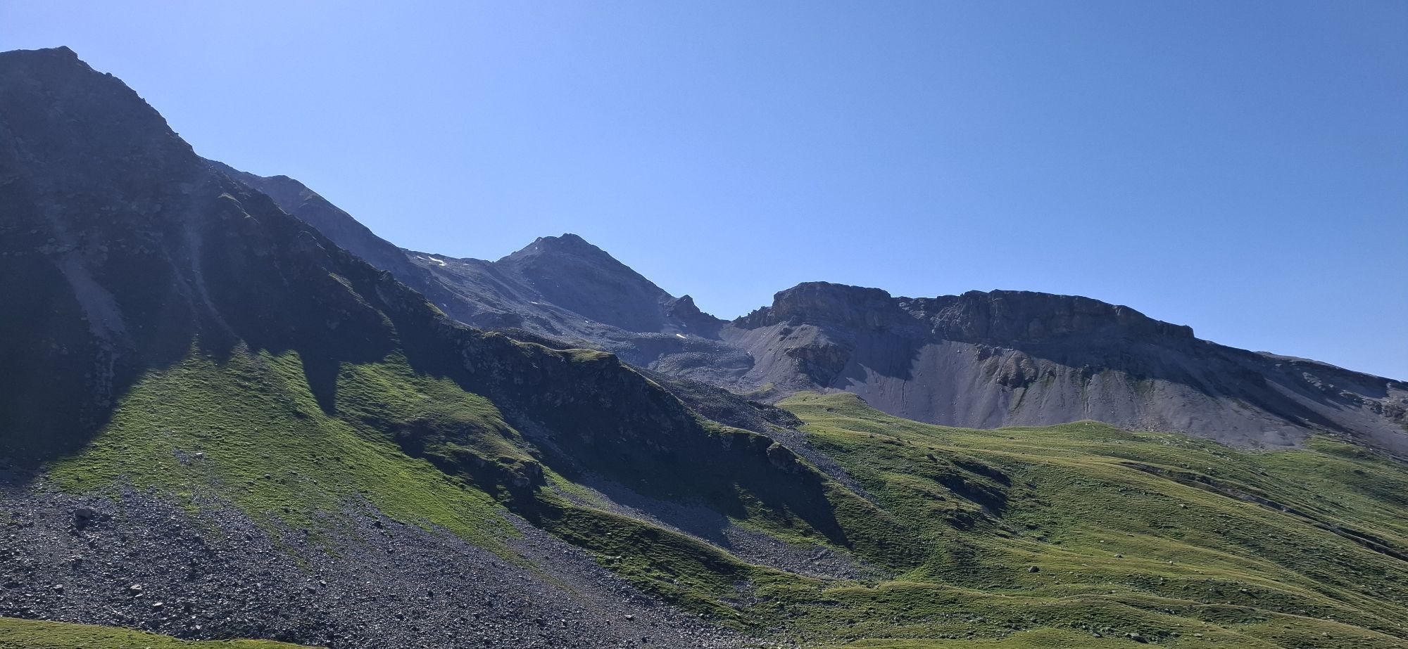
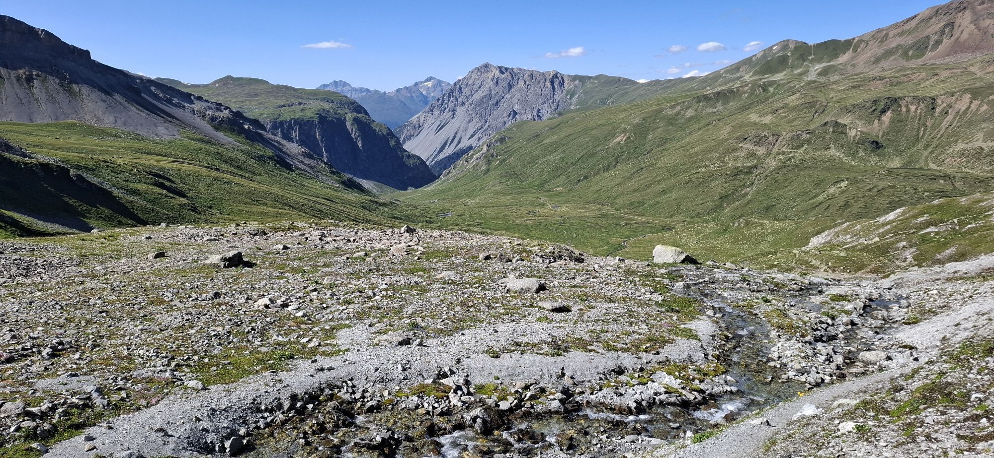
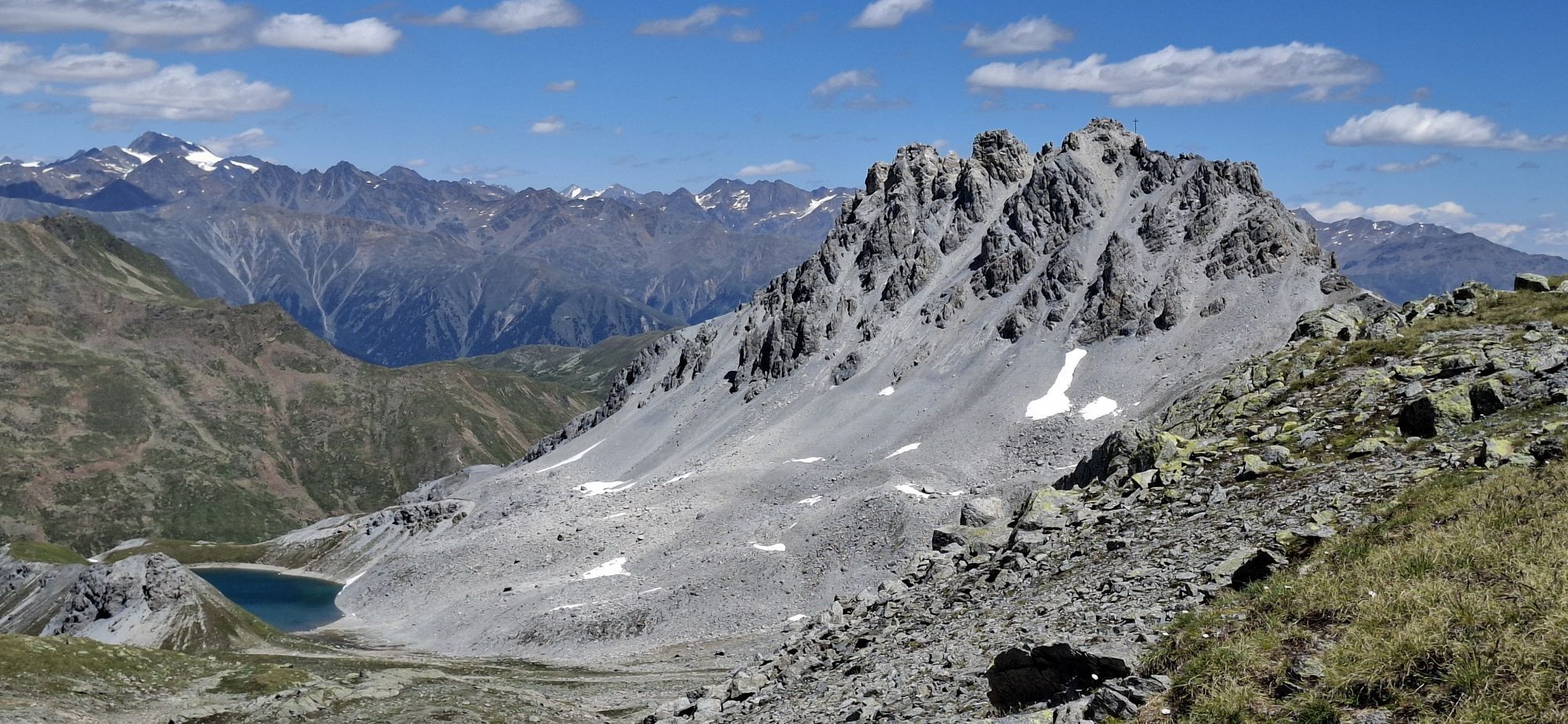
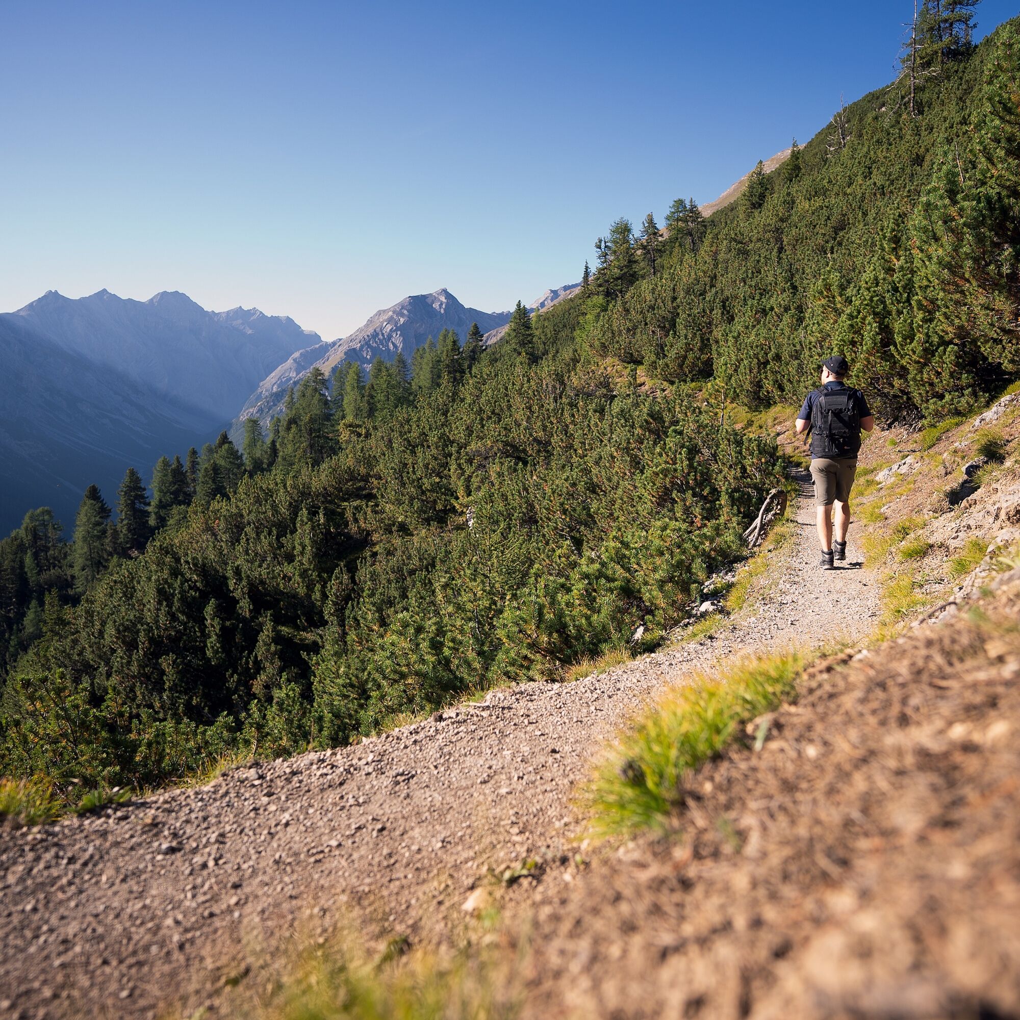
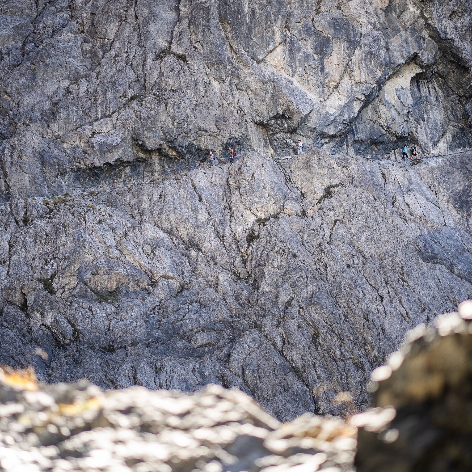
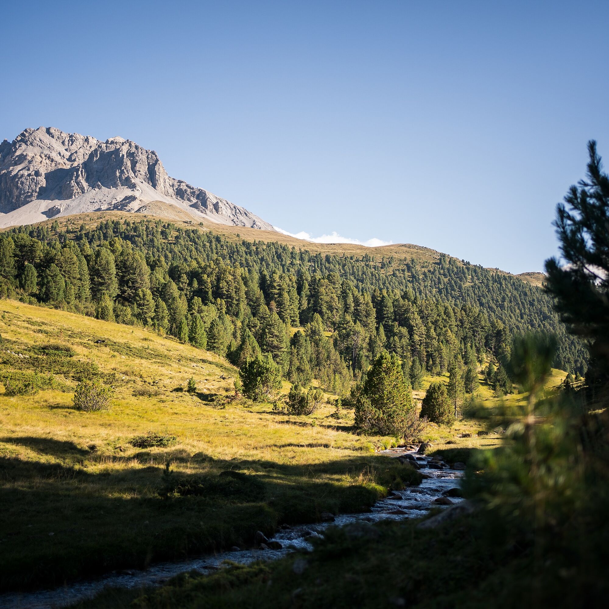
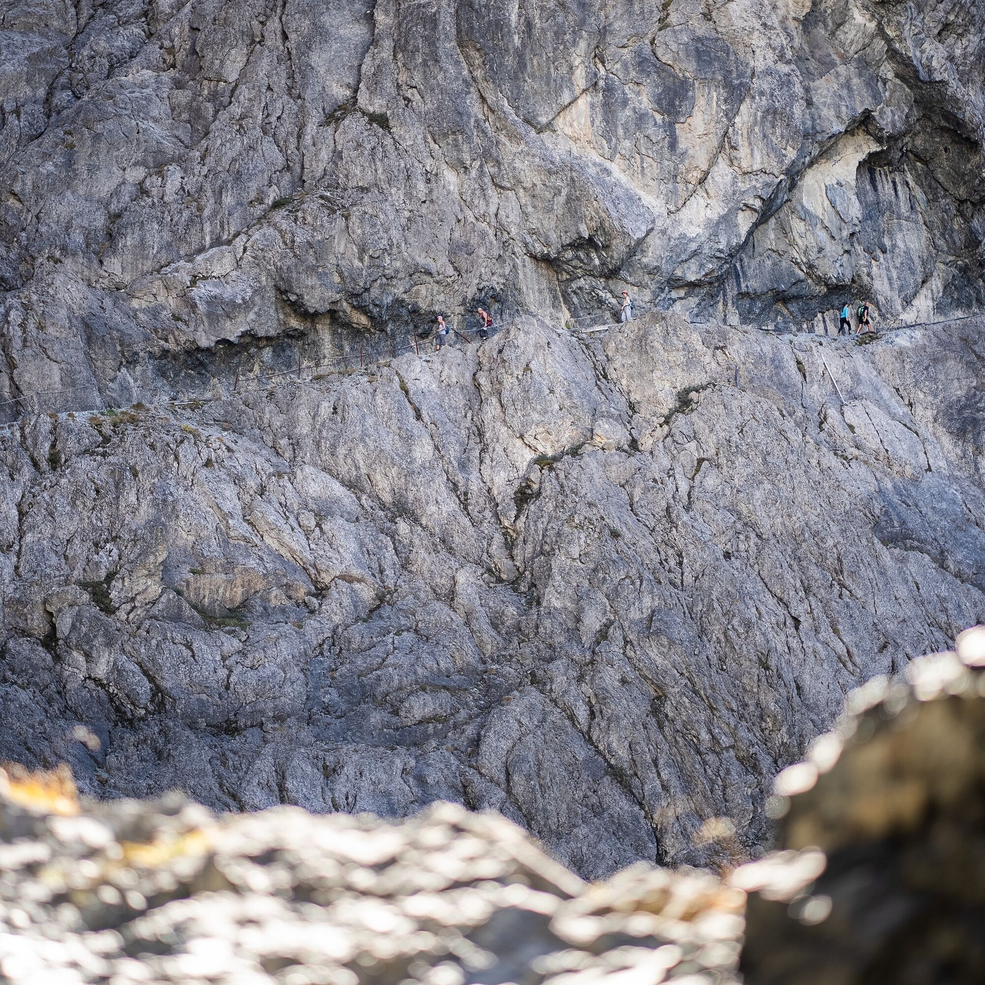
Hikers enjoy a stroll through a nature that is hardly surpassed in variety and romantic beauty. Mountain paths carved into rock in the Uina Gorge contrast with gentle valley hikes in Val Müstair, steep ascents into the wild Val Cluozza with the gentle walking through Val Mora, larch forests between Zernez and Lavin with turquoise mountain lakes at Sesvenna pass. And repeatedly you pass through the area of the Swiss National Park – then when it gets steep and wild, when you must not leave the trails and the rest areas are clearly marked by thick posts.
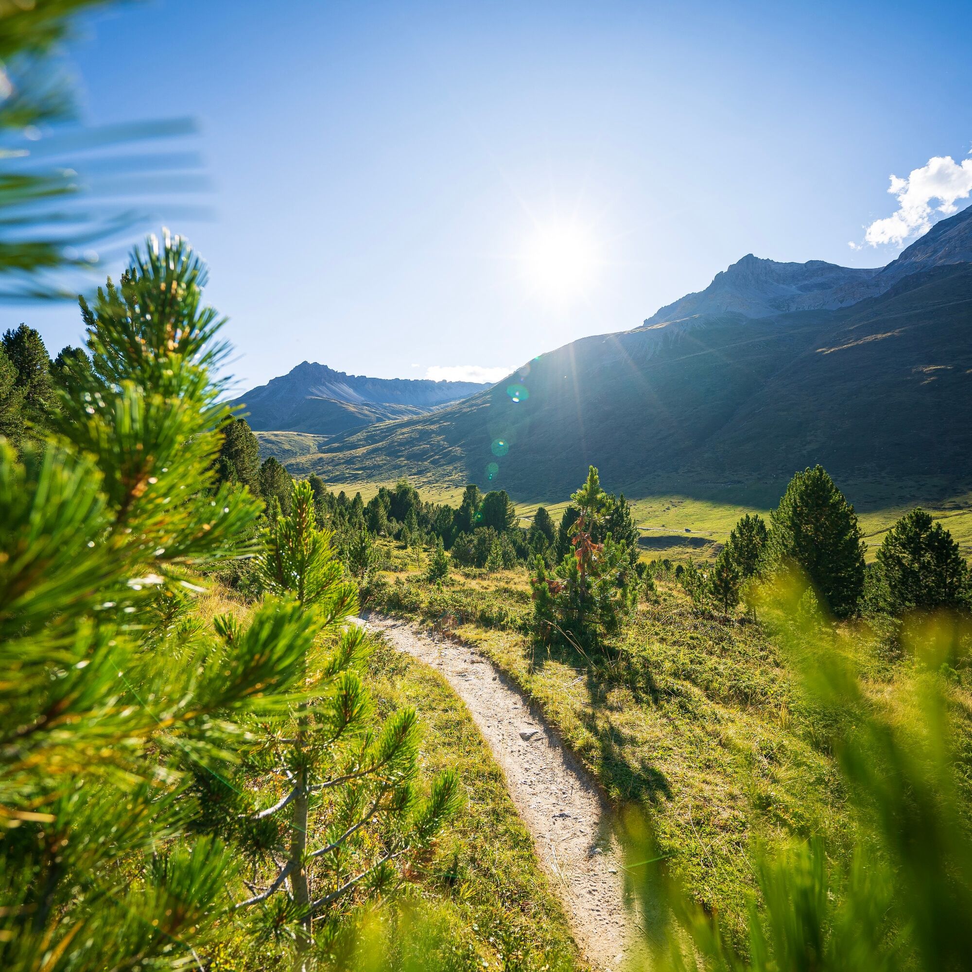
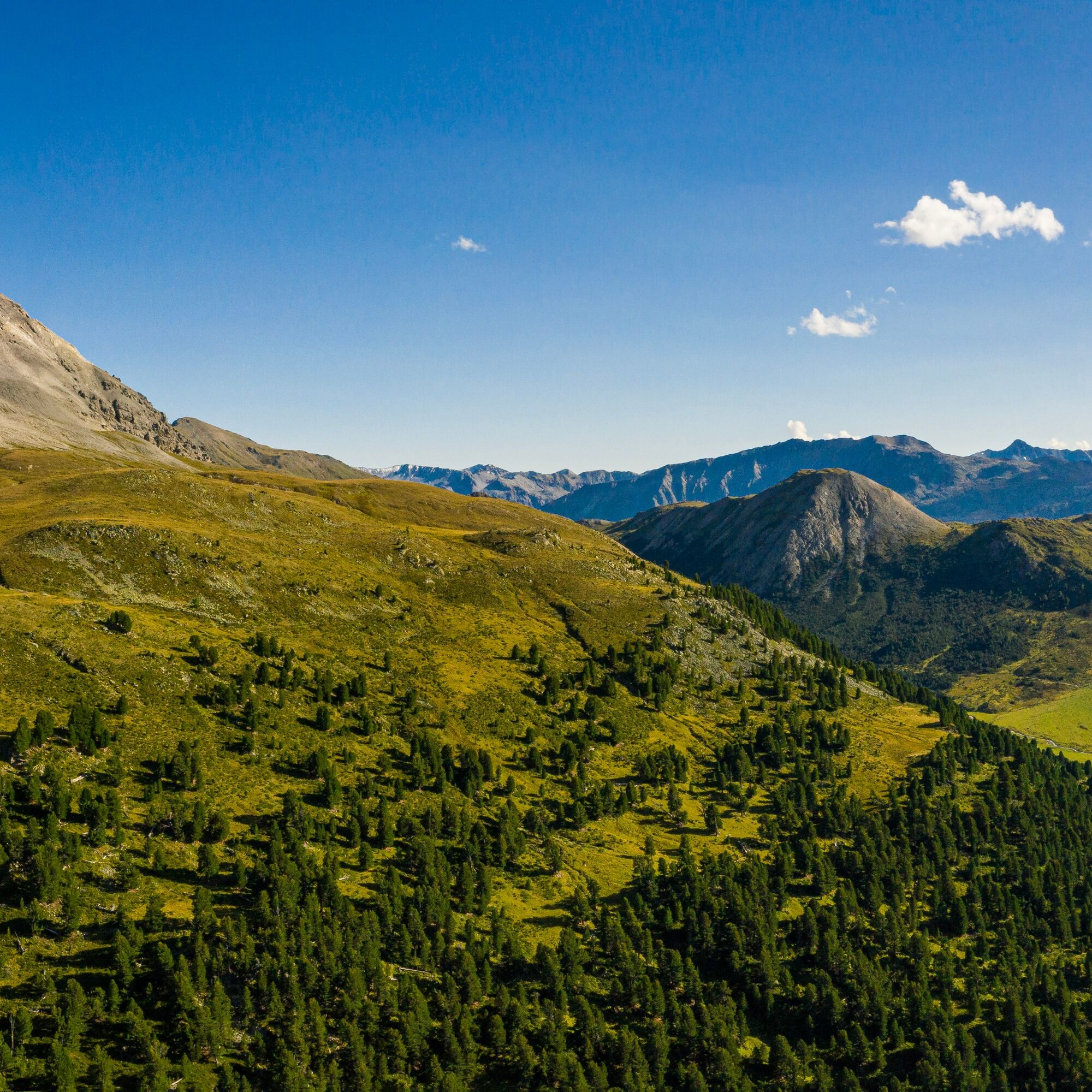
From a (cultural) historical perspective, this route also offers some highlights. The "Minieras da Fiern" at Munt Buffalora on the way to Munt la Schera tell of the past mining era between the 14th and 18th centuries. Where the plant world becomes sparse and individual pines and Swiss pines emerge from the alpine flower meadows and between rock blocks.


45.2 Sesvenna hut–S-charl
45.3 S-charl–Sta Maria
45.4 Sta Maria–Buffalora
45.5 Buffalora–Zernez (Vallun Chafuol)
45.6 Chamonna Cluozza–Zernez
45.7 Zernez-Lavin
Good footwear, rain and sun protection, drinking bottle, food, first aid kit.
Snowfields are possible on high-altitude sections until the summer months.
Exposed areas present; sure-footedness and being free from dizziness required.
Along the Ofenpass road, cars may only be parked in the official parking lots P1 to P10. The number of parking spaces is limited!
Parking spaces available in the villages of Scuol and Zernez
T2
Information center and offers:
Tourism Engadin Scuol Samnaun Val Müstair AG
Stradun 403a
7550 Scuol
+41 81 861 88 00
info@engadin.com
engadin.com
The routes can partially be simplified using public transportation.
Uzyskaj wgląd
Zawsze na żywo z ponad 9 500 kamer internetowych. bergfex Jako użytkownik Pro, możesz teraz zobaczyć odpowiednie kamery internetowe dla wielu wycieczek w aplikacji wycieczki od. Pozwala to na bezpośredni podgląd aktualnych warunków.
Popularne wycieczki w okolicy
-
4,9
Circular hike Val Trupchun in the Swiss National Park
średniWędrówka 13,8 km -
4,3
National Park: Margunet
światłoWędrówka 7,76 km -
4,8
National park: Zernez – Munt Baselgia – Macun lakes – Alp Zeznina – Lavin
ciężkiWędrówka 22,9 km -
4,8
National Park: Grimmels (circular hike)
światłoWędrówka 6 km -
5,0
National Park: Chamanna Cluozza
średniWędrówka 8,37 km -
5,0
Crap da la Pare' with Joëlette
światłoWędrówka 4,58 km -
4,2
Süsom Givè - Chaschlot - Valbella - Süsom Givè
średniWędrówka 9,73 km -
5,0
National Park: Murtaröl
ciężkiWędrówka 15,6 km -
5,0
National Park: Mot Tavrü
średniWędrówka 12,0 km -
4,8
Munt la Schera - Nationalpark
średniWędrówka 13,1 km

Wędrówki i tropienie


Nie przegap ofert i inspiracji na następne wakacje
Twój adres e-mail została dodana do listy mailingowej.





