







Fürhörnli / Montalin
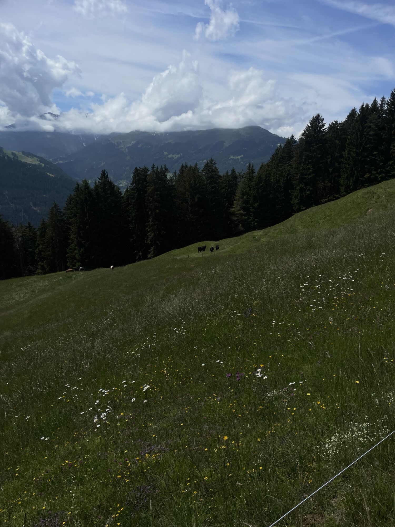
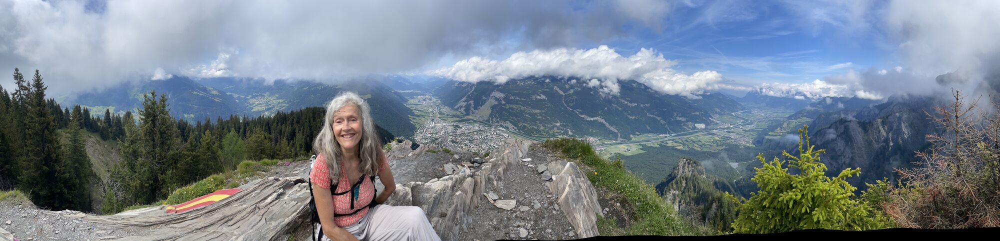
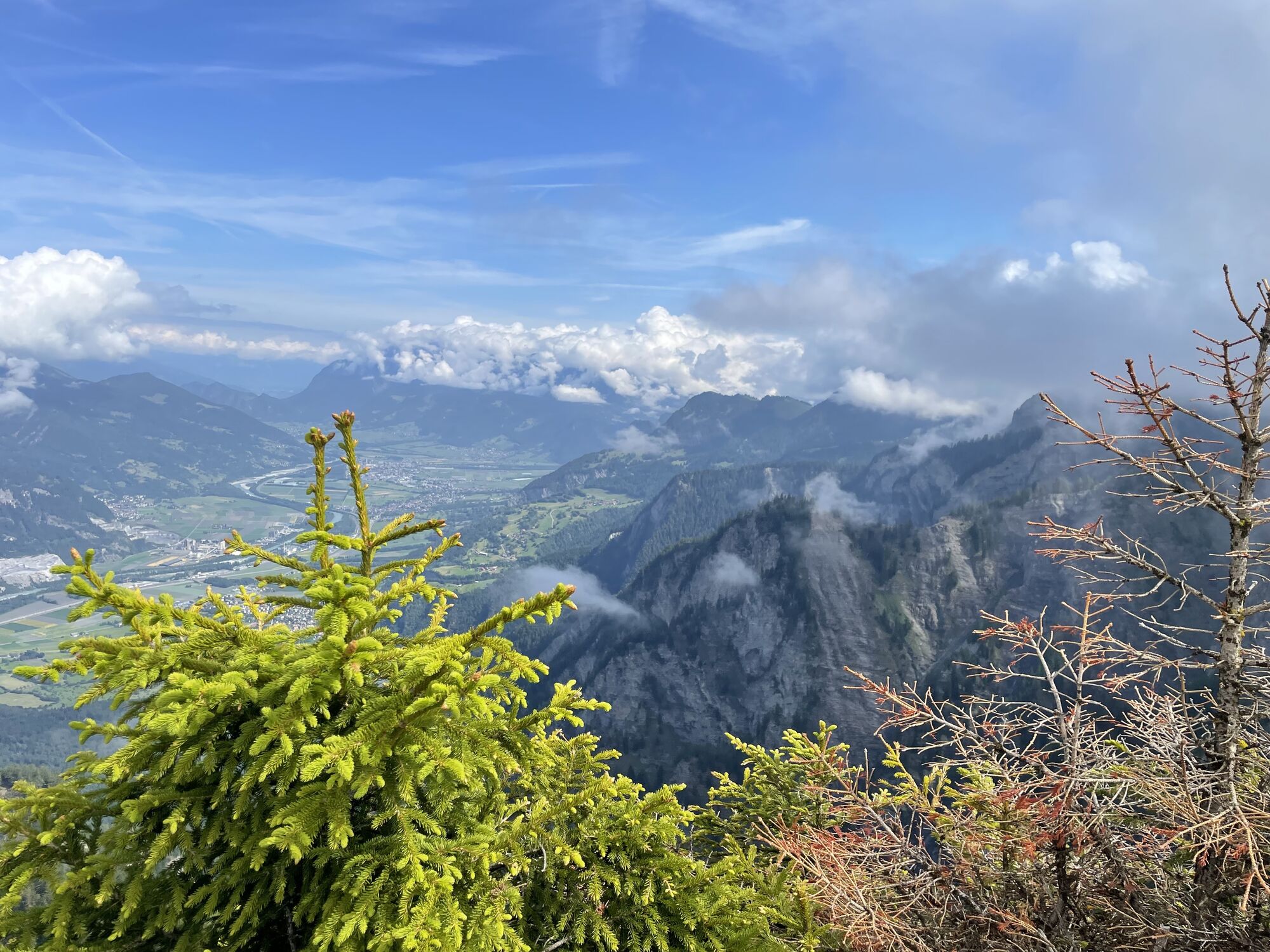
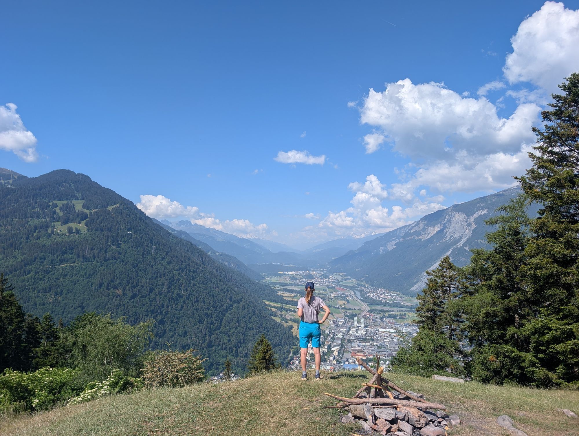
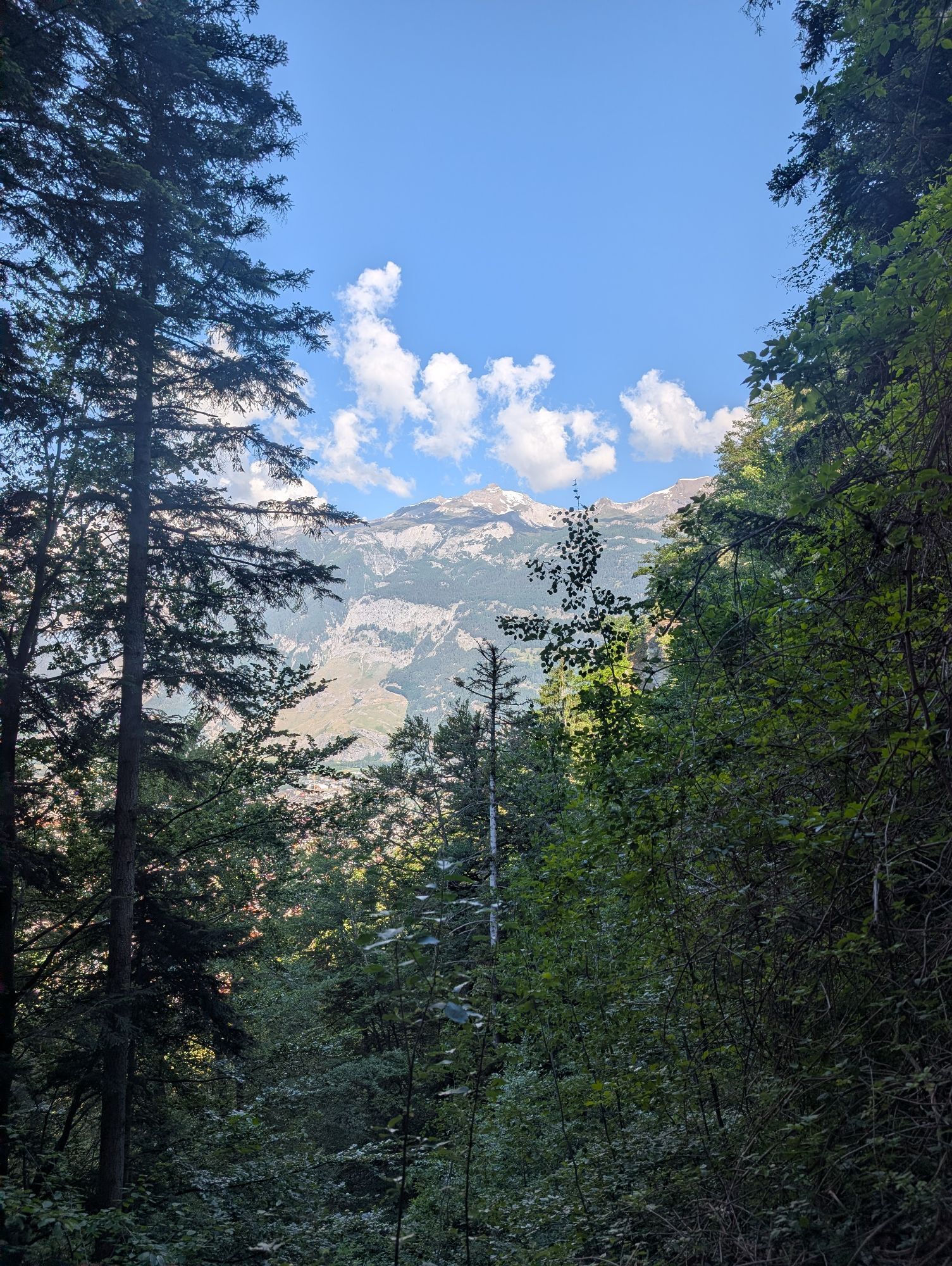
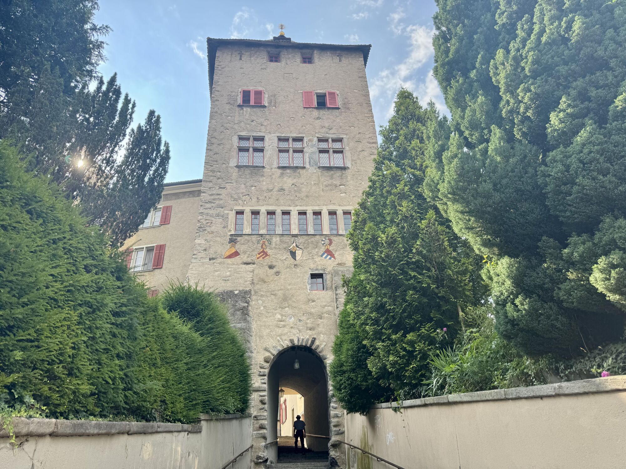
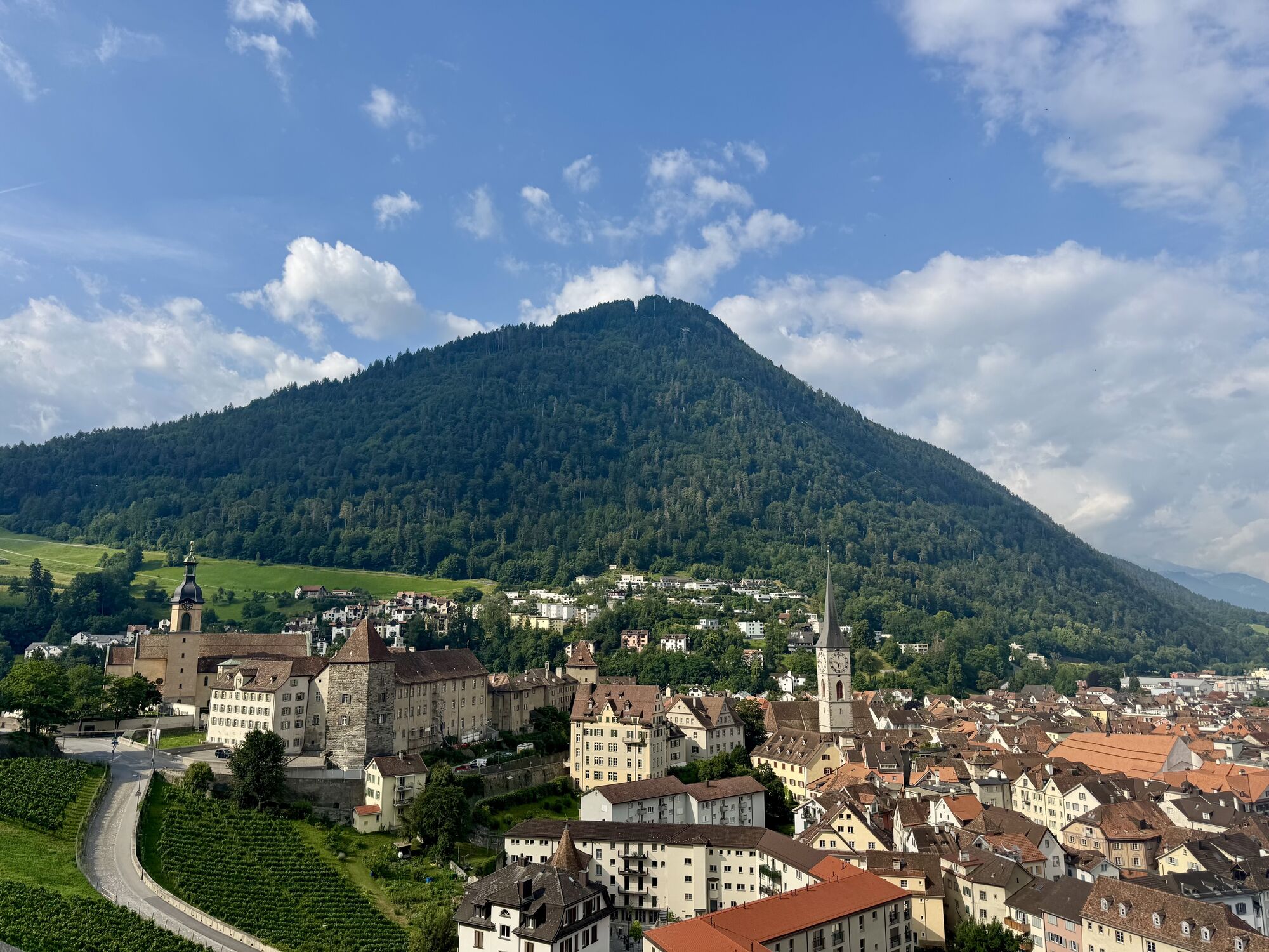
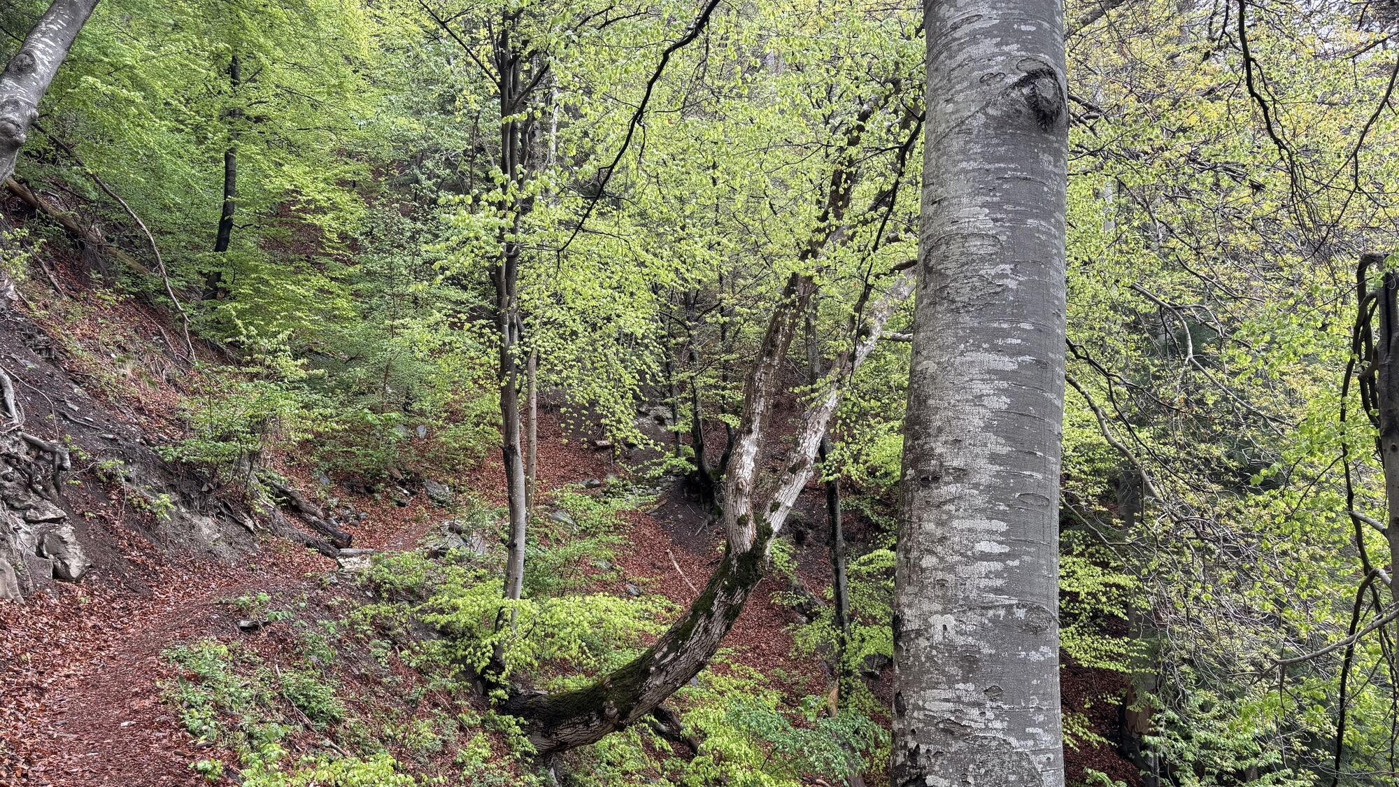
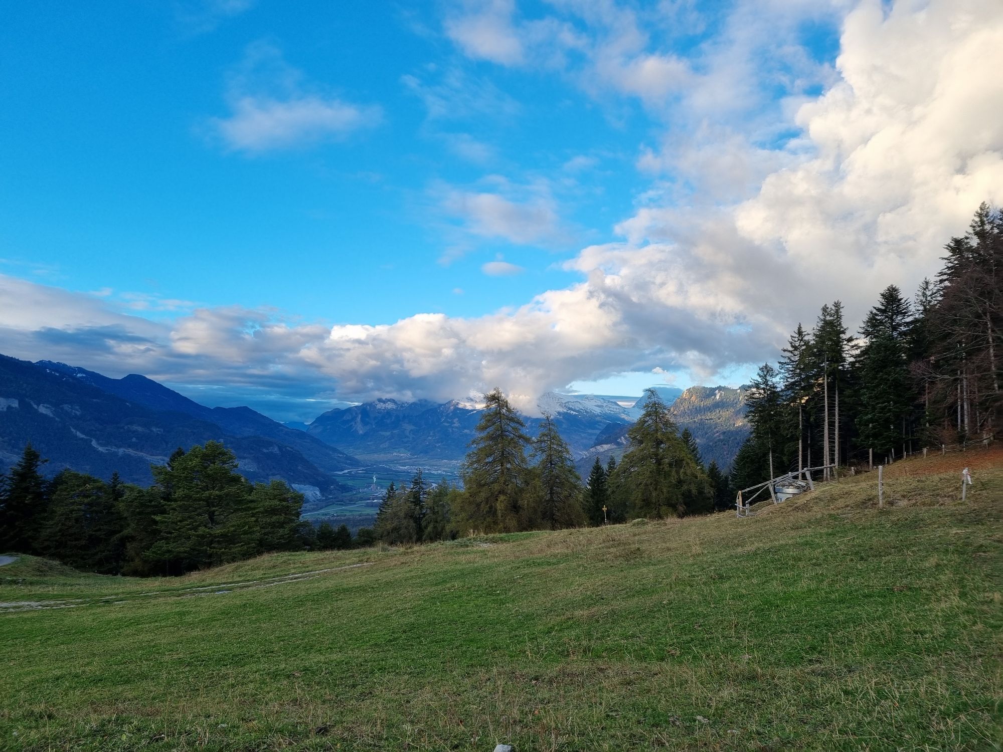
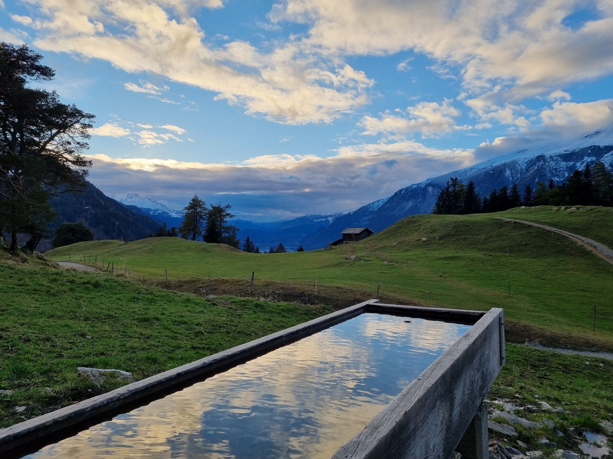
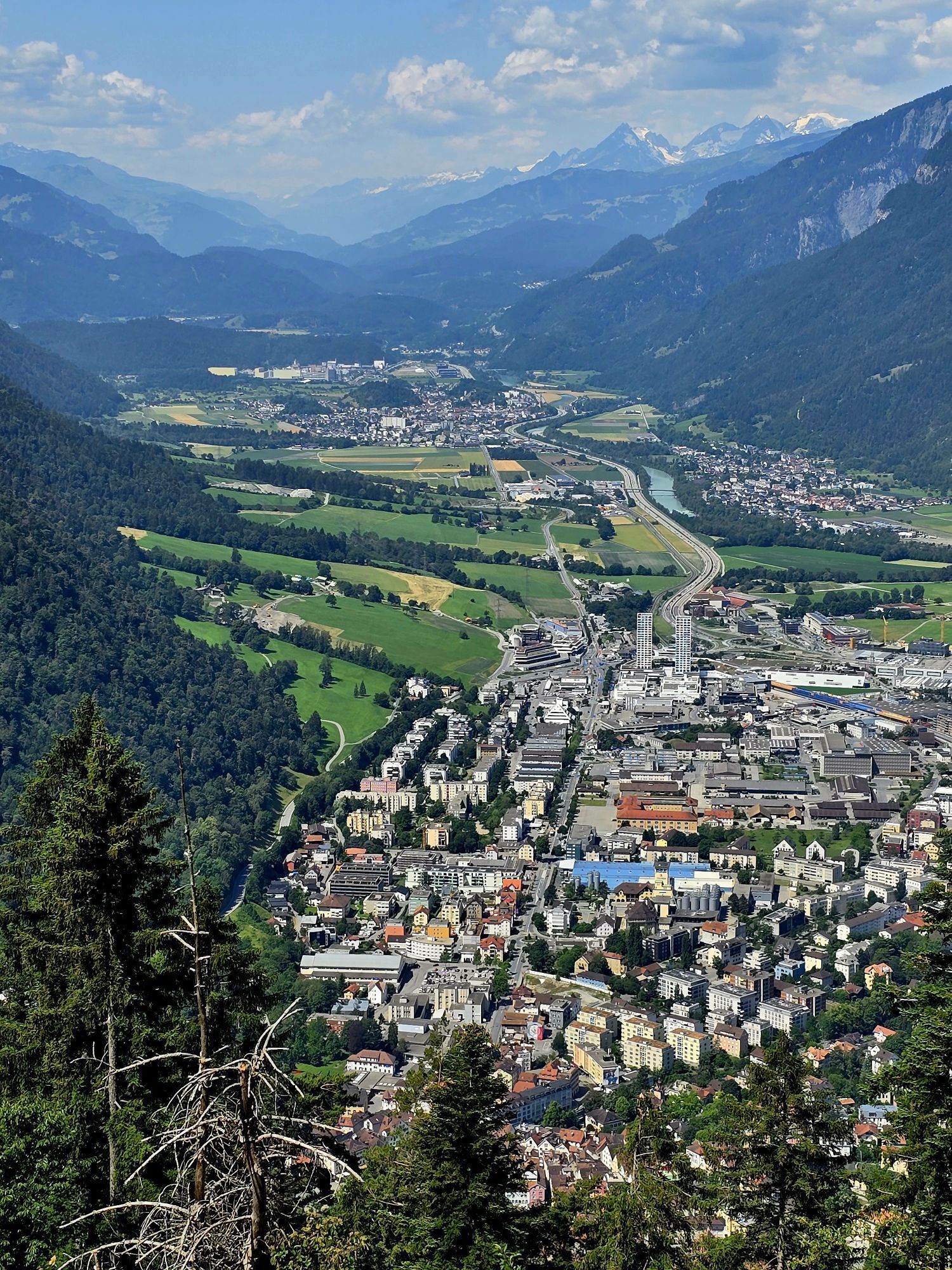
The tour starts in Chur. After a walk through the Old town and up to the cathedral, you can follow a hiking path up to the village of Maladers. Now follow a forest road until you reach the Alp Saldein....
The tour starts in Chur. After a walk through the Old town and up to the cathedral, you can follow a hiking path up to the village of Maladers. Now follow a forest road until you reach the Alp Saldein. From there, you can (optionally) continue, follow the blue hiking sings and climb up to the Montalin peak (appr. 360 meters of height difference and 1 hour walking time). The Montalin is with 2266 m the highest point of the city of Chur.
To reach the Fürhörnli, go left and walk downwards along a mountain ridge, before the trail goes slightly upwards again and the Fürhörnli lies before you. The branch-off to the Fürhörnli is not marked, but the tracks left from the hiking route is well recognizable. Along the tree-covered ridge you reach the Fürhörnli in a few steps. Be careful on the small and exposed peak-balcony (accession only recom-mended for people free from giddiness).
For descending, take the hiking trail to Ochsenberg, Mittenberg and the St. Luzi chapell, before you finally will arrive back in the city center of Chur.
 Uzyskaj wgląd
Zawsze na żywo z ponad 9 500 kamer internetowych. bergfex Jako użytkownik Pro, możesz teraz zobaczyć odpowiednie kamery internetowe dla wielu wycieczek w aplikacji wycieczki od. Pozwala to na bezpośredni podgląd aktualnych warunków.
Uzyskaj wgląd
Zawsze na żywo z ponad 9 500 kamer internetowych. bergfex Jako użytkownik Pro, możesz teraz zobaczyć odpowiednie kamery internetowe dla wielu wycieczek w aplikacji wycieczki od. Pozwala to na bezpośredni podgląd aktualnych warunków.
Popularne wycieczki w okolicy
-
4,7
Tamina Gorge Circular Route
średniWędrówka 14,0 km -
4,6
Pizalun circular route
światłoWędrówka 7,18 km -
Arosa-Schwellisee-Älplisee-Parpaner Rothorn
Wędrówka 12,3 km -
4,5
Drachenloch
ciężkiWędrówka 9,72 km -
4,7
Arosa-Hörnli-Parpaner Rothorn-Lenzerheide
Wędrówka 11,9 km -
5,0
Arosa-Hörnli-Urdenfürrgli-Alp Scharmoin-Lenzerheide
średniWędrówka 15,3 km -
5,0
Eichhörnliweg Arosa
światłoTrasa tematyczna 1,72 km -
Alp Sanaspans - Rothorn
ciężkiWędrówka 13,6 km -
Haldensteiner Calanda
ciężkiWędrówka 16,9 km -
5,0
Arosa-Erzhornsattel-Arosa
Wędrówka 14,9 km
Wędrówki i tropienie


Nie przegap ofert i inspiracji na następne wakacje
Twój adres e-mail została dodana do listy mailingowej.





