







Nature Trail: Nature and Water

Poziom trudności: T1
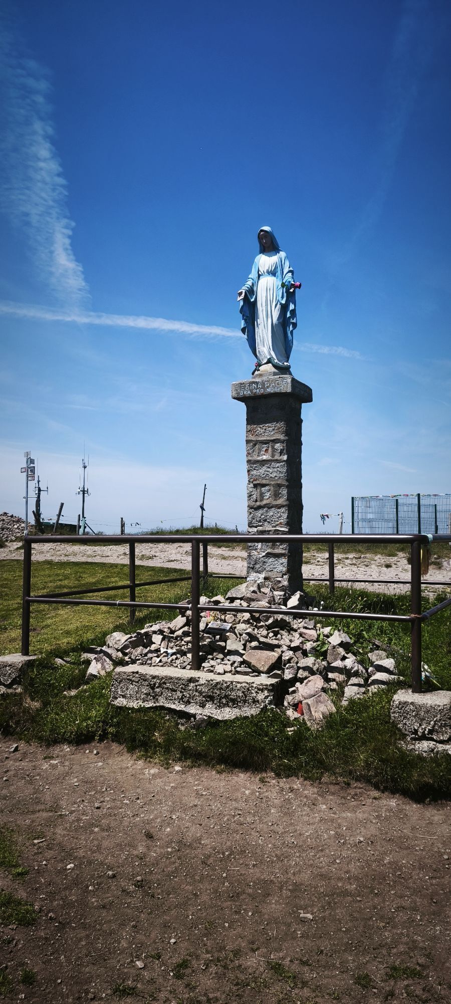
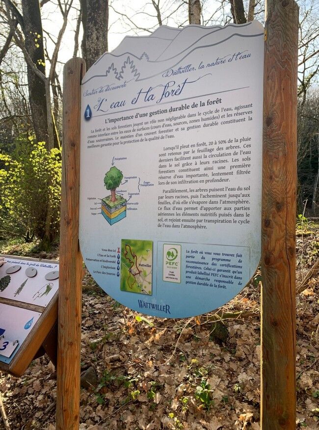
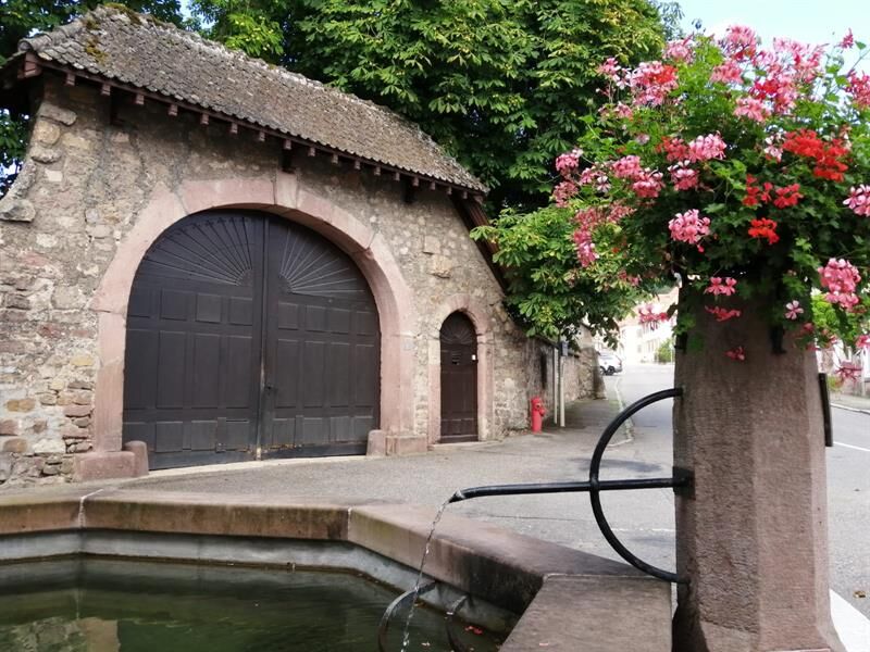
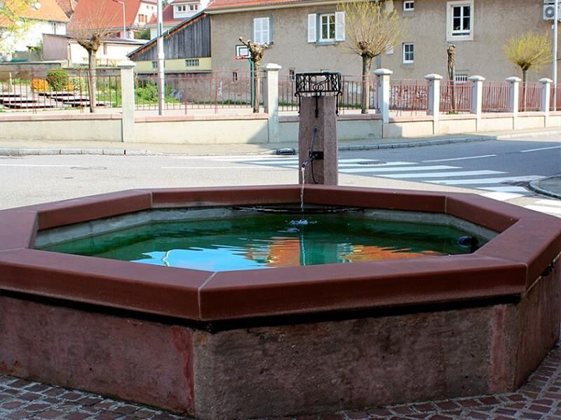
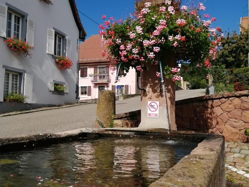
This nature trail was designed around several themes that highlight the harmony between nature and human efforts to preserve the exceptional environment found in Wattwiller. It’s a fun walk to take with...
This nature trail was designed around several themes that highlight the harmony between nature and human efforts to preserve the exceptional environment found in Wattwiller. It’s a fun walk to take with your children—just download the games before you set out!

Description
Tak
Sturdy, comfortable shoes; weather-appropriate clothing using the layering principle; sun and rain protection; food and drinking water; a first-aid kit; a cell phone; and maps.
In case of an emergency
Alert authorities: Call 112 (European emergency number)
5 key points to include in your emergency call:
Where? Town, location, route, elevation
Who? Name, phone number
What? Type of accident, number of victims, severity, details of the fall
When? Time of the accident
Weather? Wind, visibility
Wattwiller
www.fluo.eu
Free on-site parking
T1
1 rue Latouche
68700 Cernay
Tel: 03 89 75 50 35
info@tourisme-thann-cernay.fr
www.tourisme-thann-cernay.fr
Popularne wycieczki w okolicy
-
Grand Ballon route in 3 days
ciężkidługodystansowy szlak pieszy 54,2 km -
4,0
Boucle du Grand Ballon de Goldbach-Altenbach, France
średniWędrówka 14,7 km -
5,0
Visit of the Hartmannswillerkopf battlefield
światłoWędrówka 5,45 km -
The Thannerhubel at Bourbach-le-Haut
średniWędrówka 7,32 km -
Crossing of the Vosges Massif - Stage 17 - Thann - Ballon d'Alsace
ciężkidługodystansowy szlak pieszy 27,8 km -
Crossing of the Vosges Massif - Stage 16 - Le Markstein - Thann
ciężkidługodystansowy szlak pieszy 28,0 km -
Hilsen Farm Inn route - a panorama on the Grand Ballon
średniWędrówka 5,47 km -
Farm-Auberge Grand Ballon walk "Under the highest peak of the Vosges"
światłoWędrówka 5,16 km -
Haag Farm-Inn walk "Between the shade of the beech woods and the light of the high pastures"
średniWędrówka 5,83 km -
Gsang Farmhouse-Inn route: "A unique pastoral landscape in the Vosges"
średniWędrówka 6,08 km
Wędrówki i tropienie


Nie przegap ofert i inspiracji na następne wakacje
Twój adres e-mail została dodana do listy mailingowej.





