



Kastelberg and Hohneck route

Poziom trudności: T2
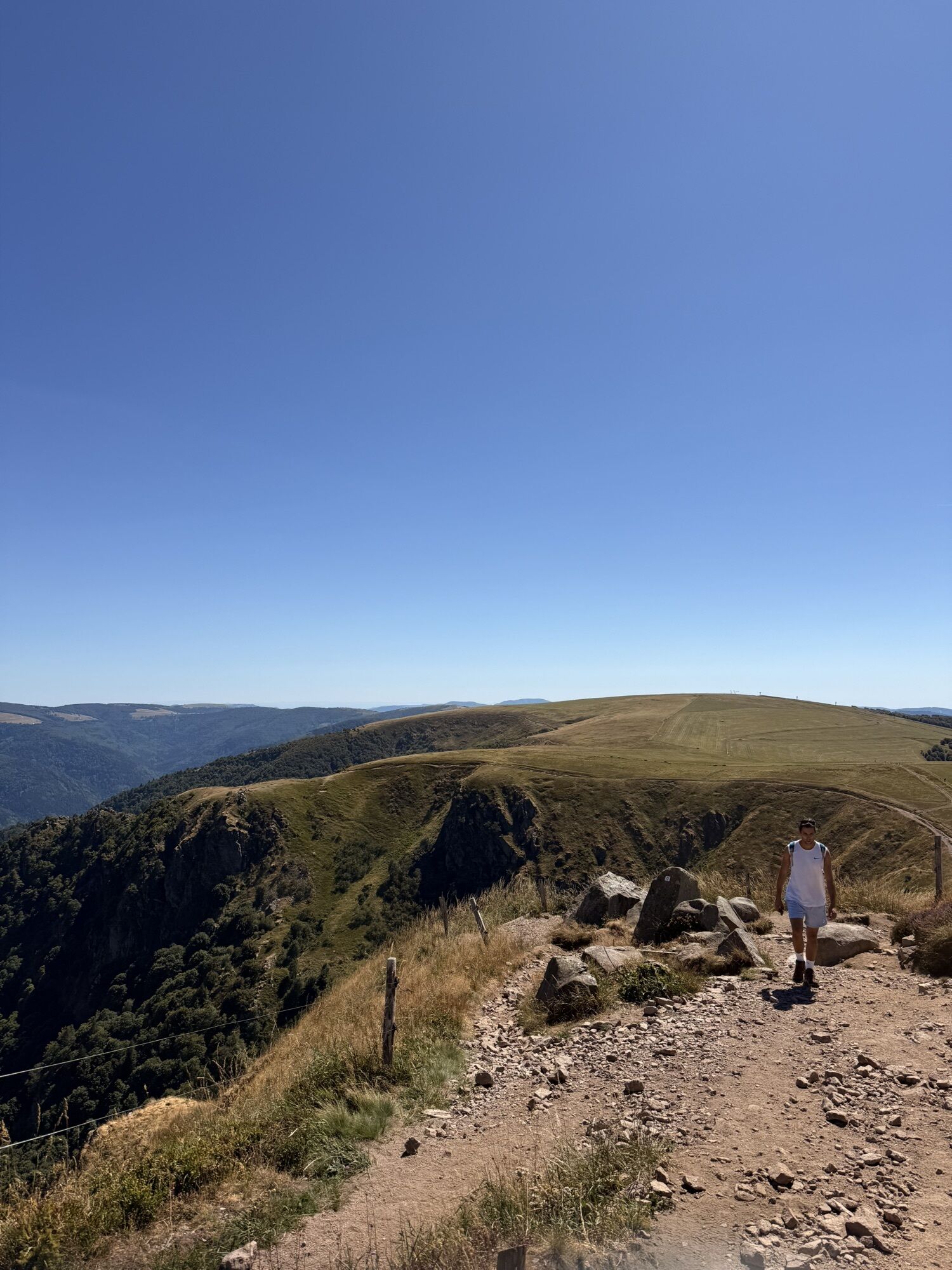
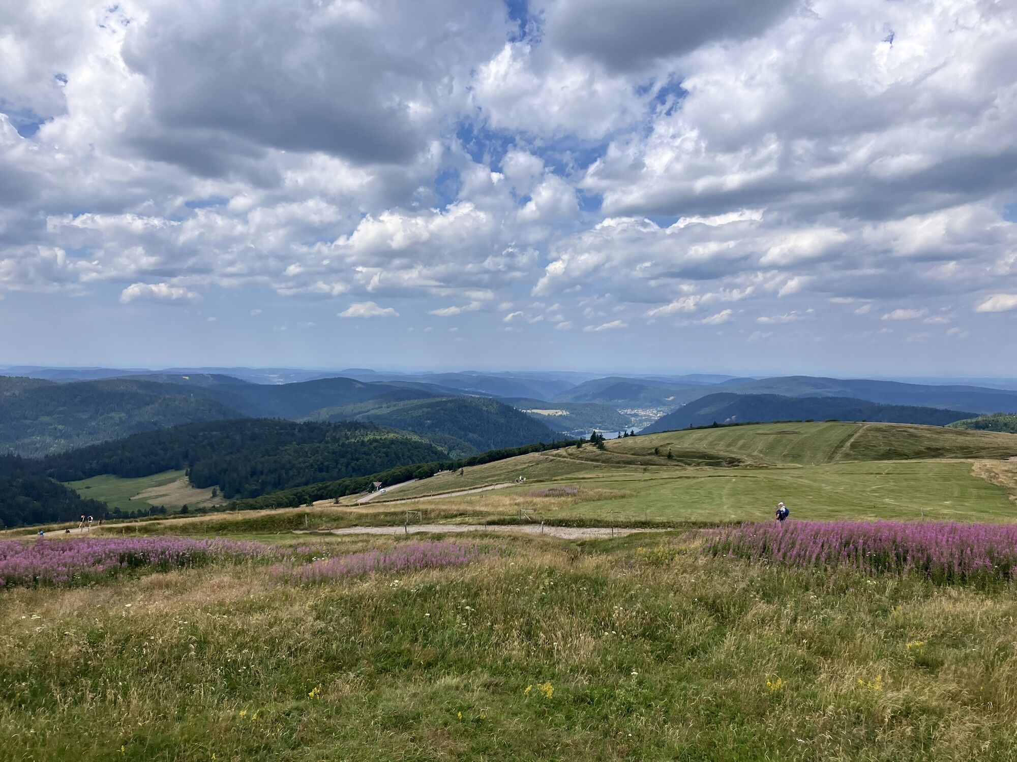
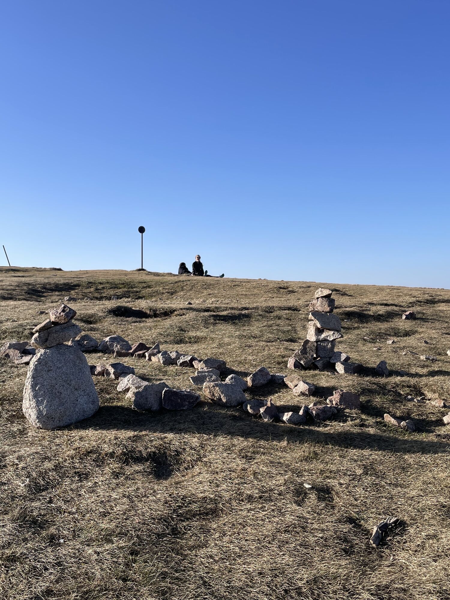
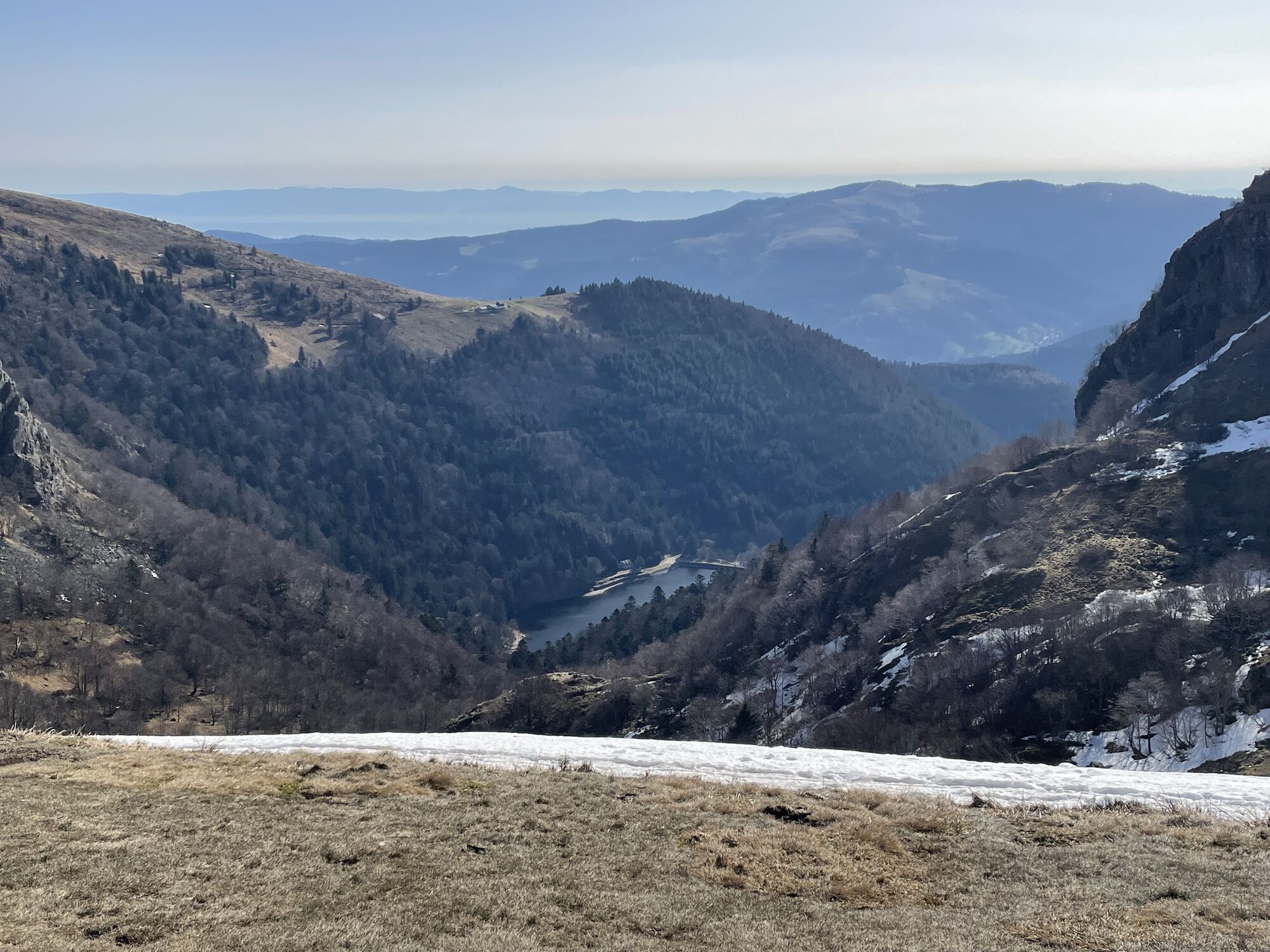
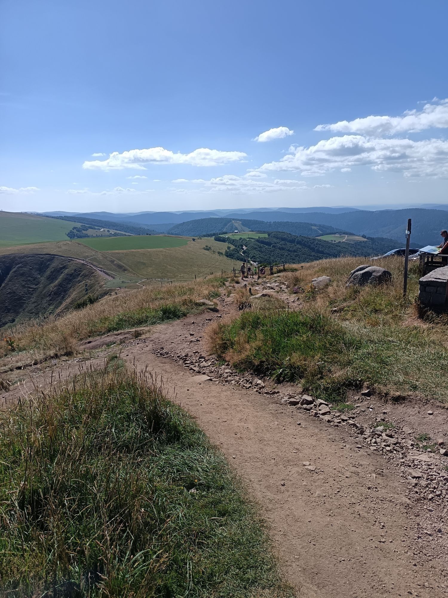
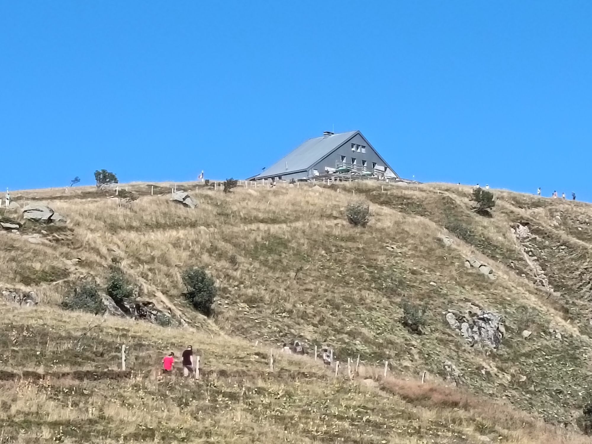
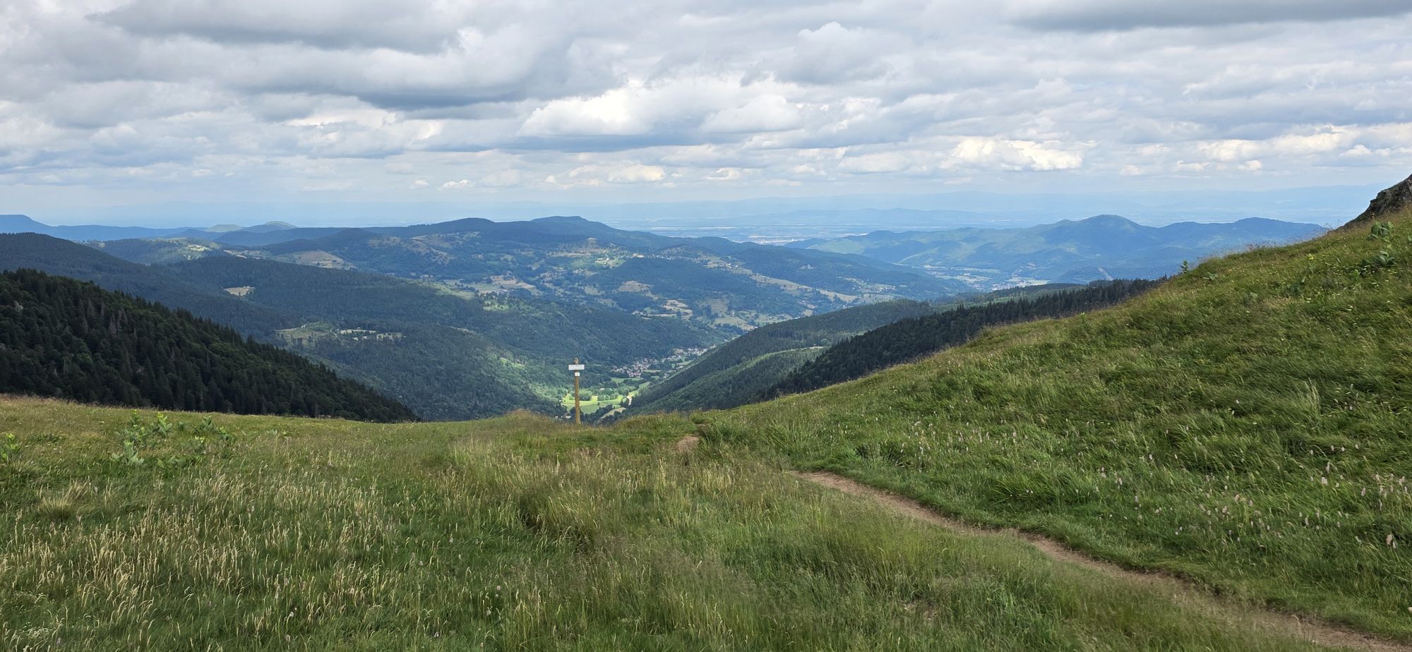
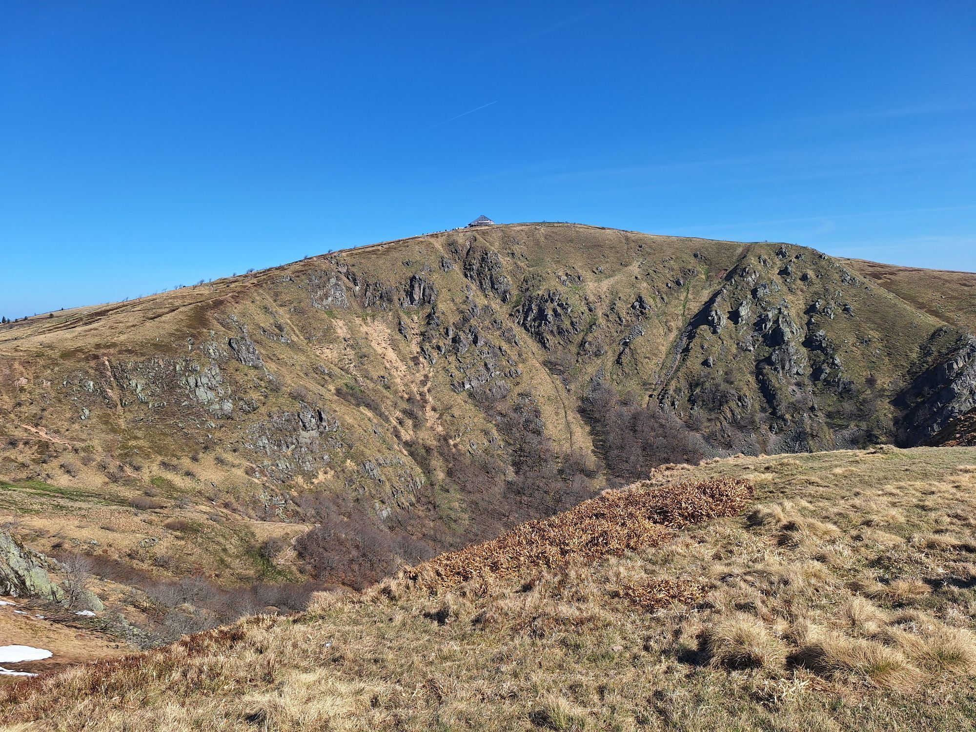
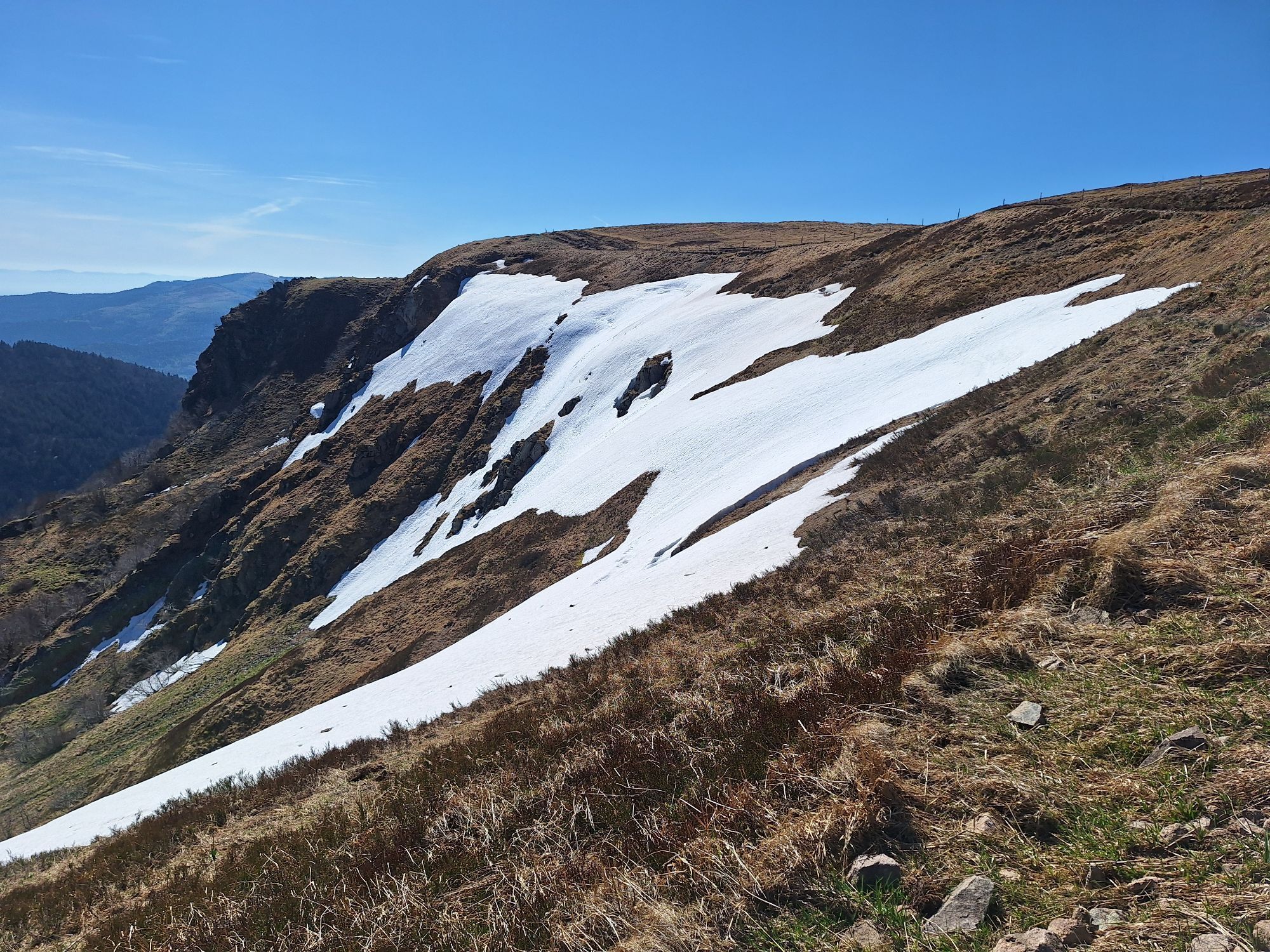
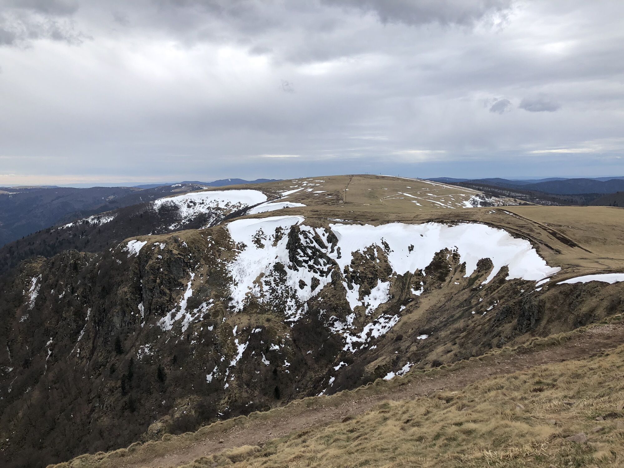
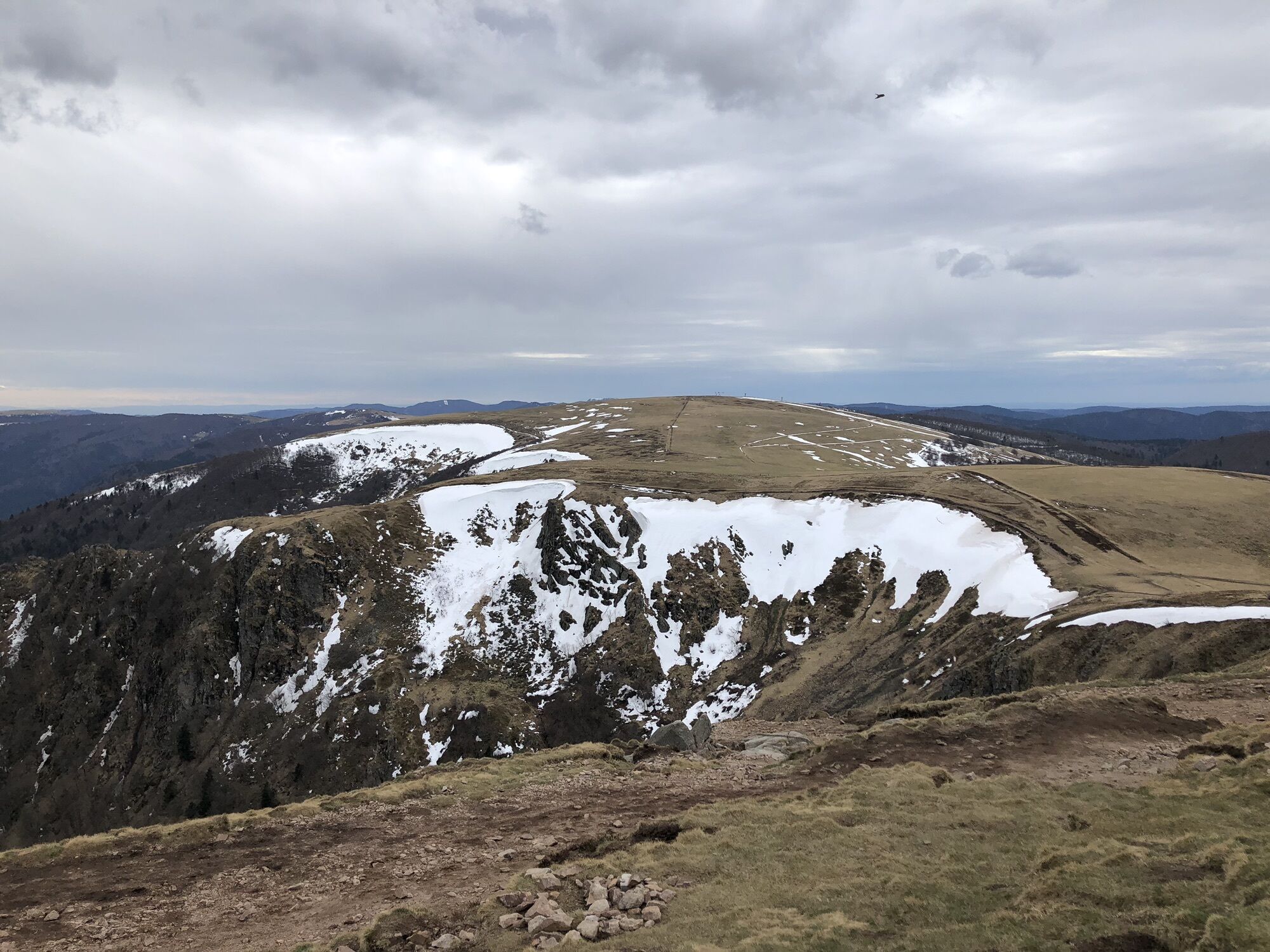
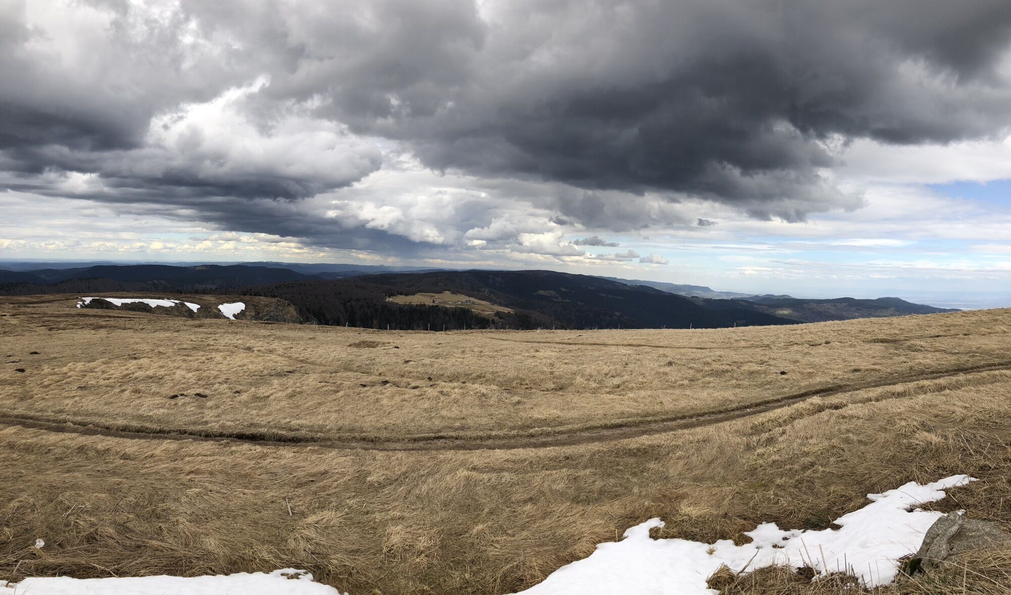
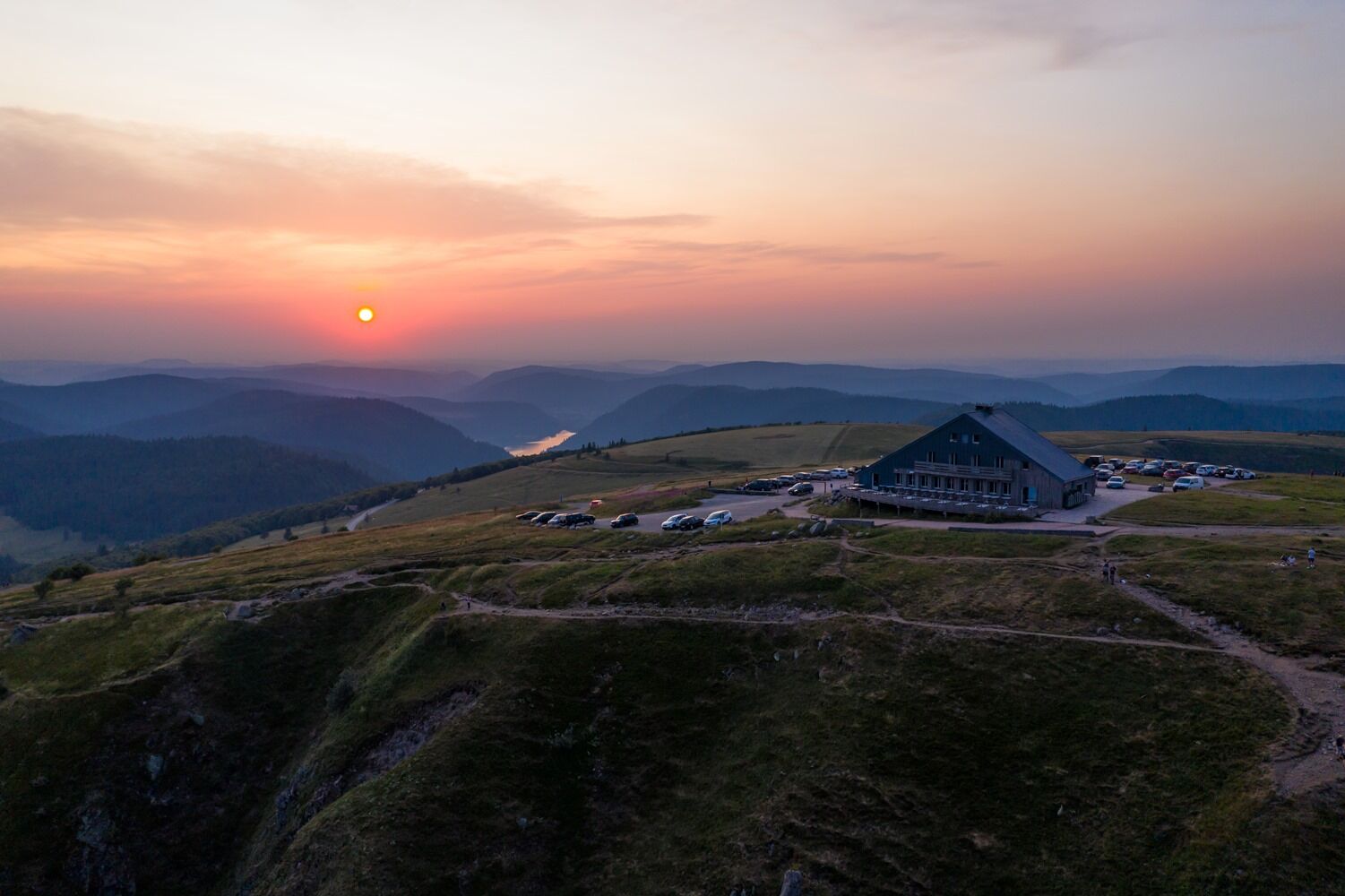
This ridge walk offers magnificent views of the Frankenthal, the Schiessrothried lake, the Spitzkoepfe, the Wormspel, and the Rainkopf. It is also a remarkable spot for observing chamois.

Stages of the route:
here is the itinerary, enjoy the ride!
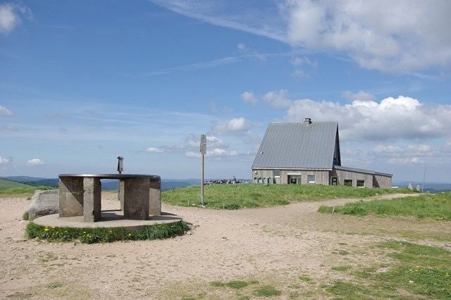
Leave the parking lot heading north and climb towards the summit, you cross the drivable path leading directly to the inn and continue the ascent. Enjoy the landscape at the summit. Continue, always north, to the Col du Falimont while skirting the foot of the Hohneck. At Col du Falimont follow to the right the red rectangle that will lead you to the summit of Hohneck, the highest point of the Munster Valley from which a magnificent panorama is offered to you. From there descend to the foot of the Hohneck southward along the trail (red-white-red) to the crossroads that indicates, to the left (yellow cross), the snowfield trail and the Kastelberg inn. There again dream of the spectacle of our mountains all the way to the inn. Climb back up the drivable path (blue rectangle) for about 800m then take the trail that goes under a high-altitude beech forest. At the edge of the woods a magnificent view of the Rainkopf (1306m). The trail brings you without difficulty a few meters above your starting point, the Firstmiss.
Tak
Tak
Recommended equipment
Clothing suitable for the season and conditions (cold, hot, humid…)
Hiking shoes suitable for the terrain (even for children!)
Telescopic poles (useful for stability and to relieve joints)
Mobile phone and spare battery if needed
In case of problem
Call 112 (European emergency number)
5 key points to convey your alert:
Where? town, place, route, altitude
Who? identity, phone number
What? type of accident, number of victims, severity, dynamics of fall
When? time of accident Weather? wind, visibility
Join the white-red-white marked trail located just above the Breitsouze inn.
www.fluo.eu
Free parking on site
T2
MUNSTER VALLEY TOURIST OFFICE
1 rue du Couvent
68140 Munster
Tel: 03 89 77 31 80
contact@vallee-munster.eu


Popularne wycieczki w okolicy
- 4,3
Hiking route - the circuit of the 3 lakes
średniWędrówka 12,7 km - 5,0
Le tétras bistrot - Hohneck - Chapelle Notre-Dame-des-Chaumes - Brasserie de la Schlucht
ciężkiWędrówka 10,7 km - 5,0
Vogesen Col de la Schlucht
ciężkiWędrówka 19,3 km - 4,5
Hike around Lake Gérardmer
światłoWędrówka 5,49 km - 4,5
From the Schlucht to the Hohneck
średniWędrówka 8,21 km Grand Ballon route in 3 days
ciężkidługodystansowy szlak pieszy 54,2 kmTour de l'Altenweiher et Rainkopf, Mittlach, France
średniWędrówka 12,6 km- 4,7
The Lac Blanc ridge
światłoWędrówka 5 km - 4,8
Longemer Col des Feignes Walk
średniWędrówka 8,83 km - 4,3
Le tétras bistrot - Hôtel - Restaurant du Chalet - Chapelle Notre-Dame-des-Chaumes - La Schlucht
średniWędrówka 5,95 km
Wędrówki i tropienie


Nie przegap ofert i inspiracji na następne wakacje
Twój adres e-mail została dodana do listy mailingowej.


