


Hiking route - Koenigsstuhl and the roche du Tetras via Saint-Alexis

To complete this day of exploration, book your lunch at the Saint-Alexis inn located on the last section of the hike. You will have well earned this break.
Our highlights of the hike:
get off the beaten...
To complete this day of exploration, book your lunch at the Saint-Alexis inn located on the last section of the hike. You will have well earned this break.
Our highlights of the hike:
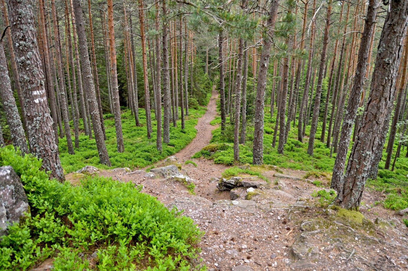
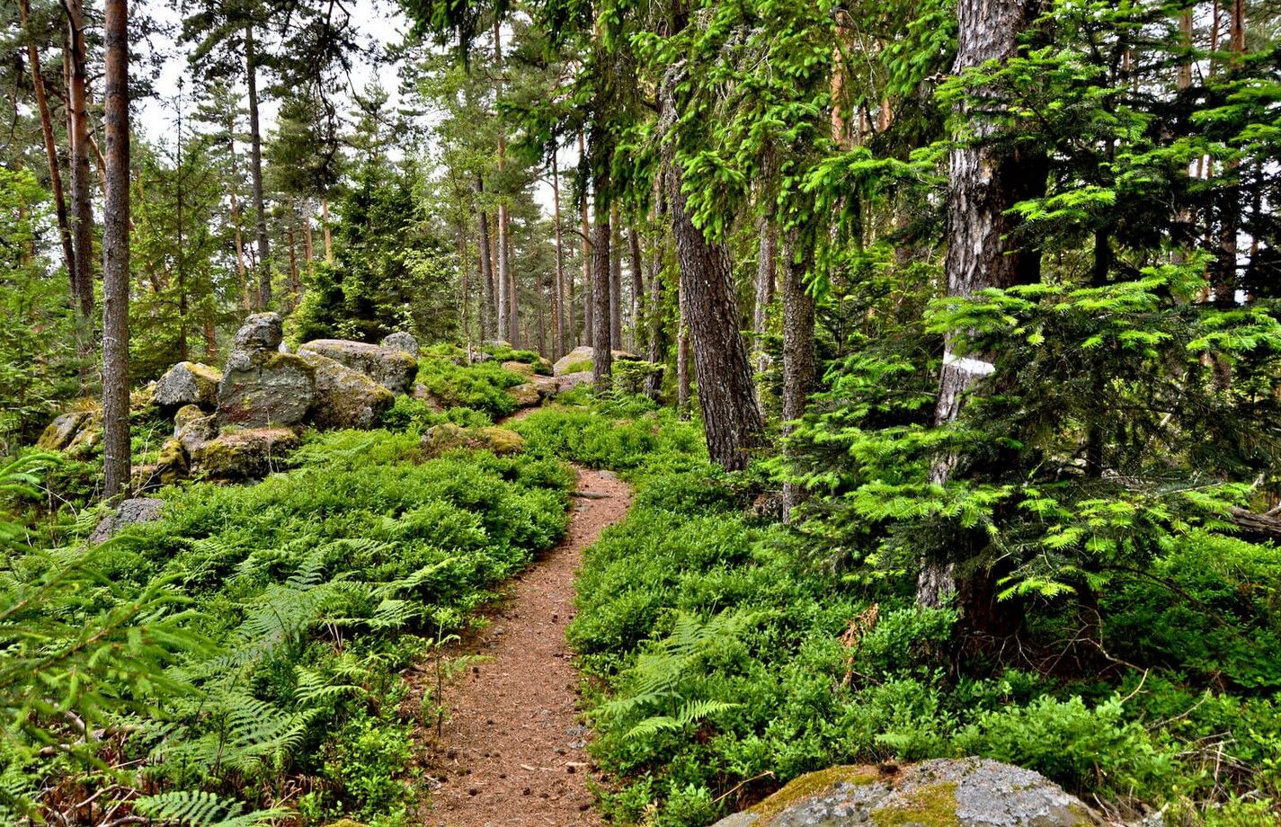
get off the beaten path and explore the forest environment
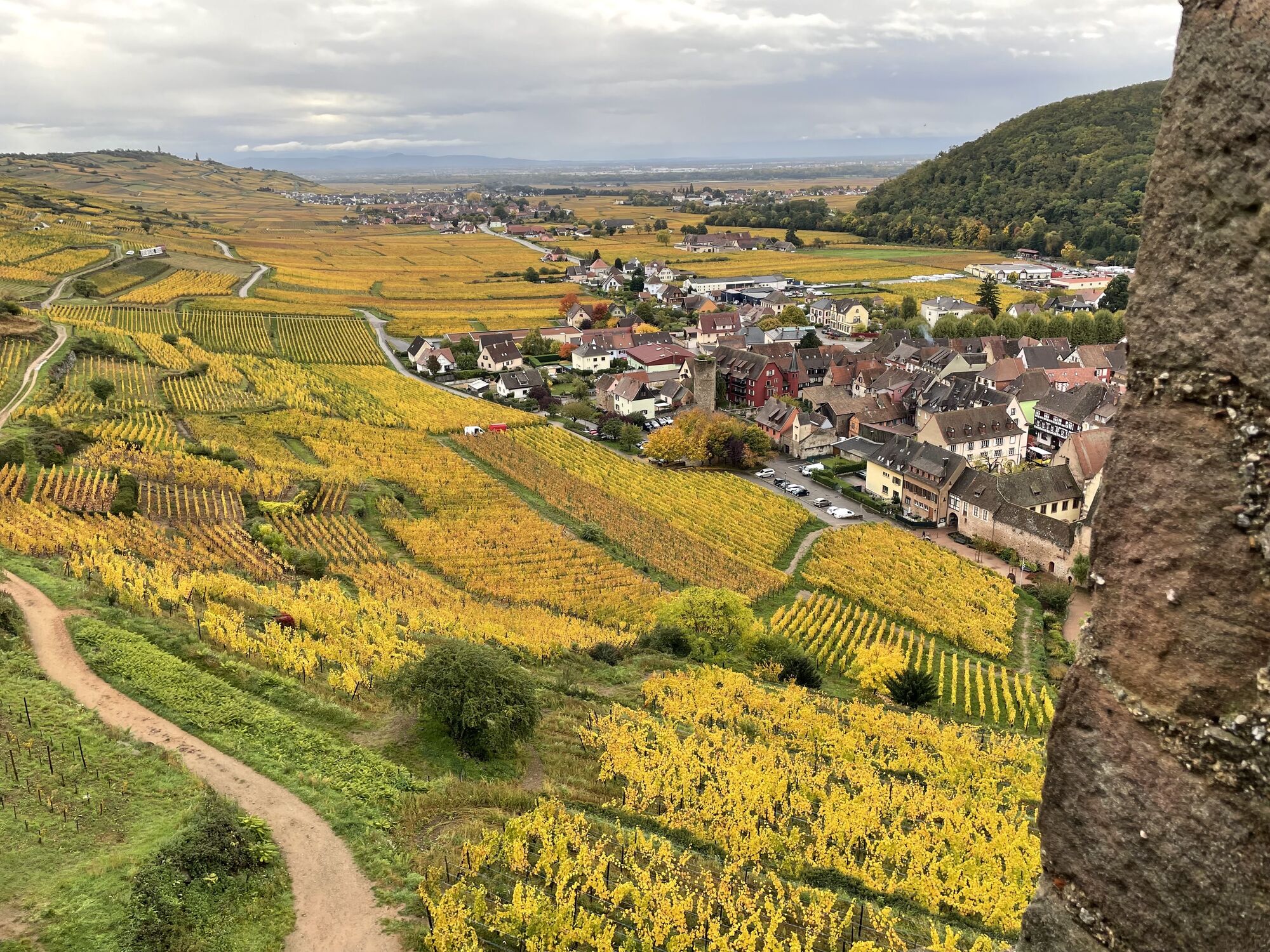
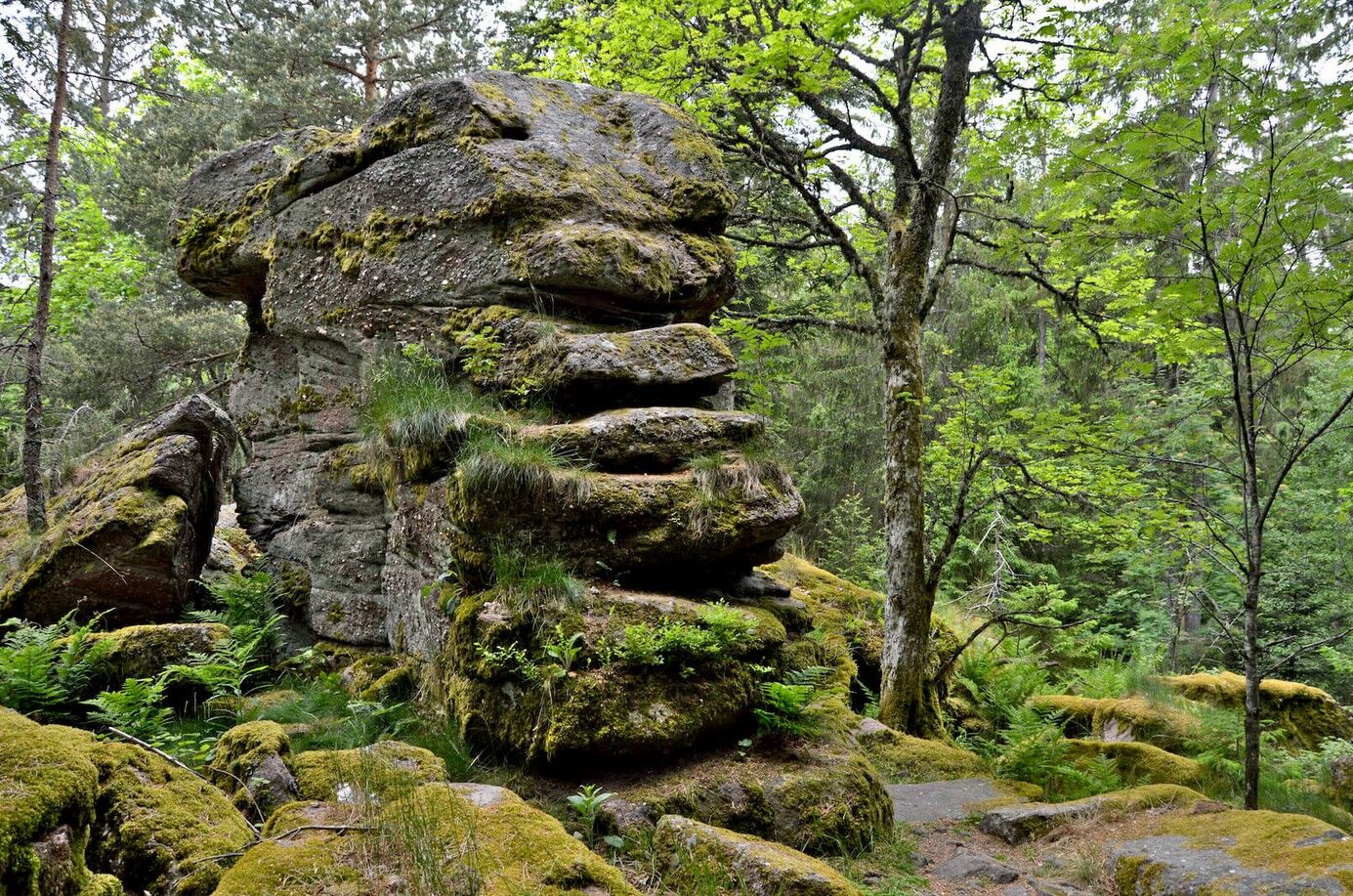
the summit of the Loenigsstuhl and the strange shapes of its rocks
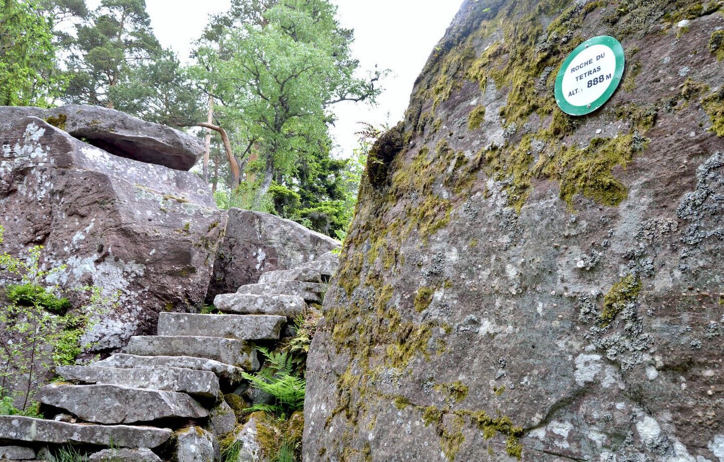
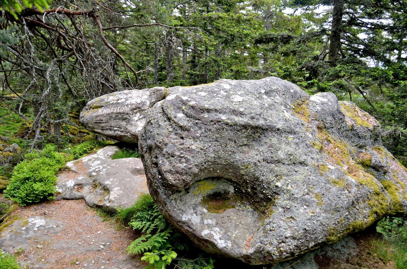
the surprising natural setting of the roche du Tetras

here is the route - Have a great hike!
Recommended equipment
Clothing suitable for the season and conditions (cold, hot, humid…)
Hiking shoes adapted to the terrain (even for children!)
Telescopic poles (useful for stability and to relieve your joints)
Mobile phone and spare battery if needed
In case of problem
Call 112 (European emergency number)
5 key points to give your alert:
Where? municipality, place, route, altitude
Who? identity, phone number
What? type of accident, number of victims, severity, fall dynamics
When? time of the accident Weather? wind, visibility
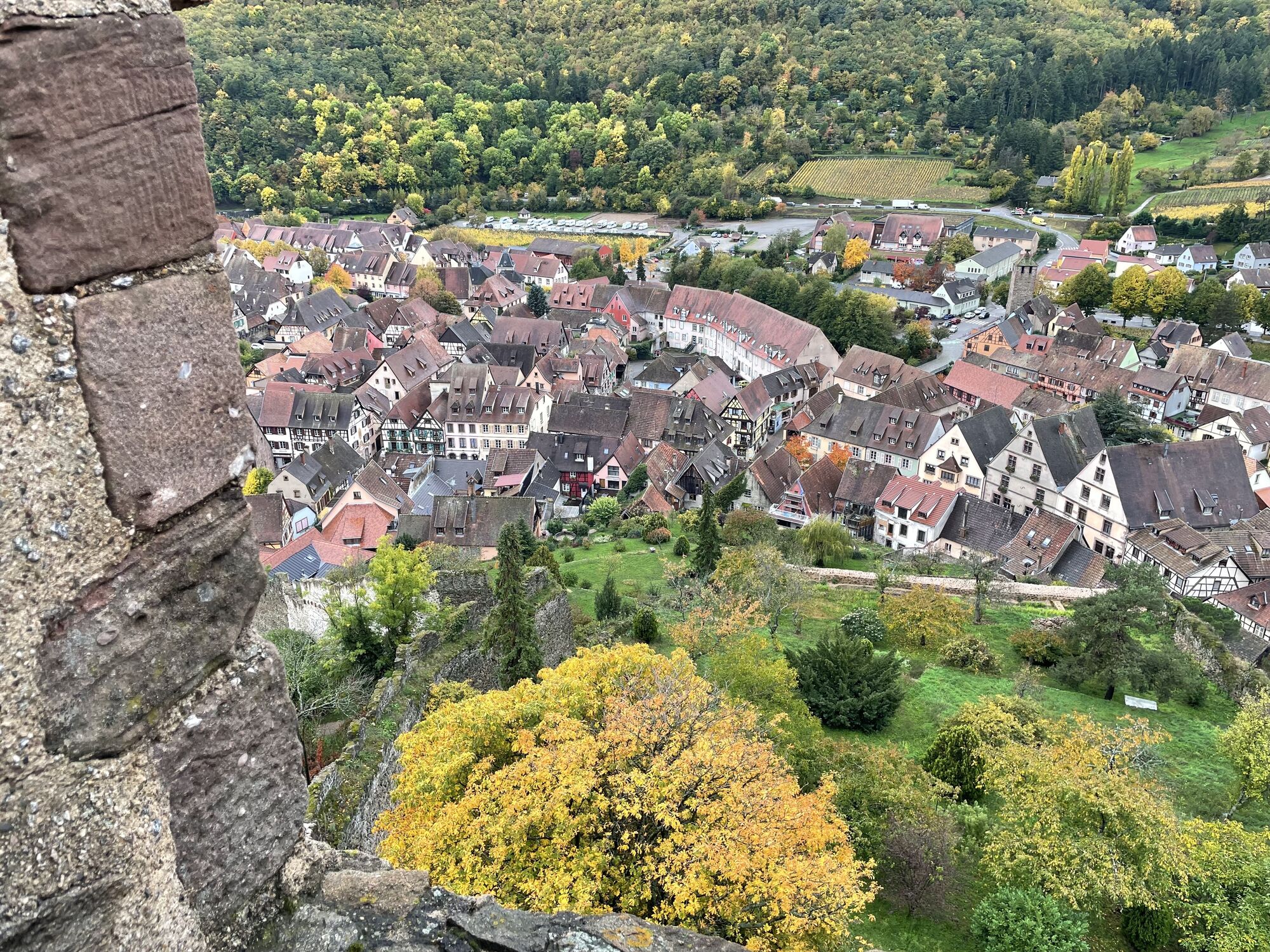
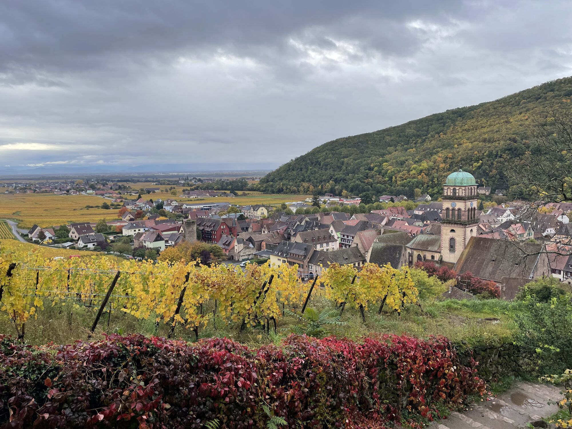
Kaysersberg
www.fluo.eu
Parking on site (paid)
Kaysersberg Valley Tourist Office
39 Rue du Général de Gaulle
68240 Kaysersberg Vignoble
Phone: 03 89 78 22 78
info@kaysersberg.com
Popularne wycieczki w okolicy
-
4,3
Hiking route - the circuit of the 3 lakes
średniWędrówka 12,7 km -
4,0
Ribeauvillé-Riquewihr between forest and vineyard
średniWędrówka 12,5 km -
4,3
Eguisheim zu den 3 Burgen
średniWędrówka 7,90 km -
Bike route: BL128 - Around Colmar, capital of Alsace wines
światłoJazda na rowerze 23,3 km -
Cycling route: Alsace Vineyard Cycle Route: from Marlenheim to Thann
ciężkiKolarstwo długodystansowe 141,4 km -
4,0
Hohrod - Wanderung in die Zeit des 1. Weltkrieges
średniWędrówka 7,87 km -
4,0
The Lac Blanc ridge
światłoWędrówka 5 km -
5,0
Radltour an der Elsässer Weinstraße
średniE-Bike 43,9 km -
Crossing of the Vosges Massif - Stage 14 - Le Bonhomme - Schlucht Pass
średnidługodystansowy szlak pieszy 19,4 km -
4,0
Hiking circuit - tour of the small and large Hohnack
światłoWędrówka 7,07 km

Wędrówki i tropienie


Nie przegap ofert i inspiracji na następne wakacje
Twój adres e-mail została dodana do listy mailingowej.