






Route Assault on Haut-Koenigsbourg
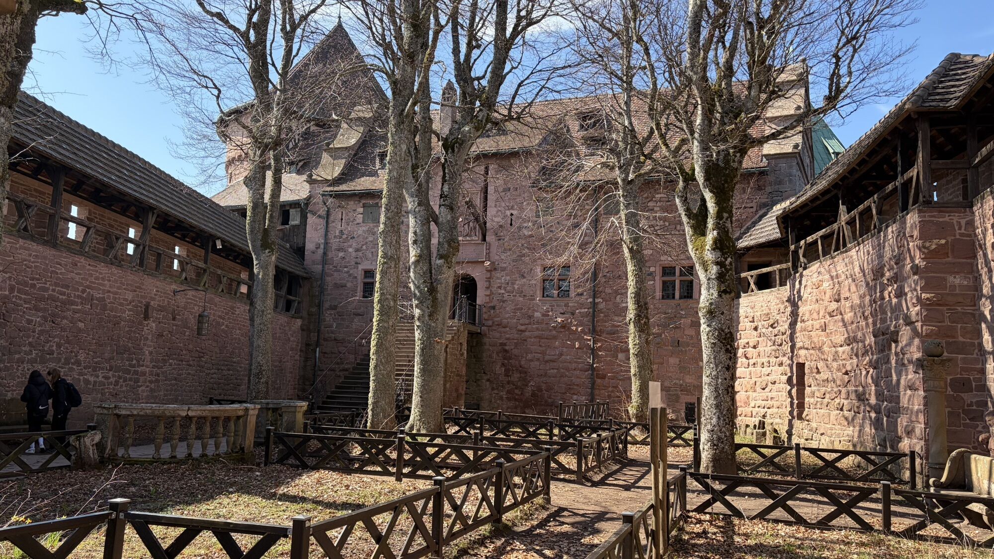
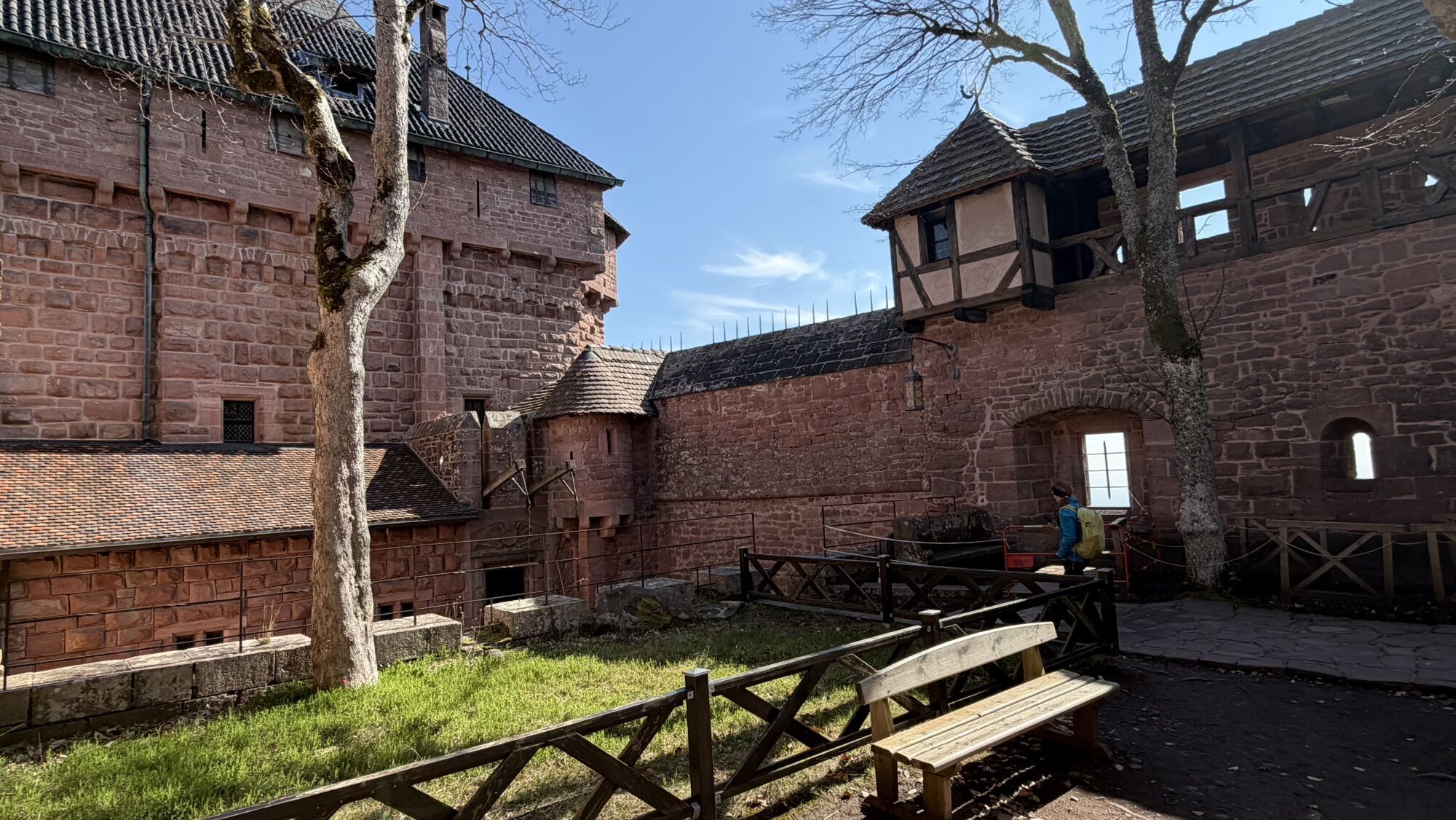
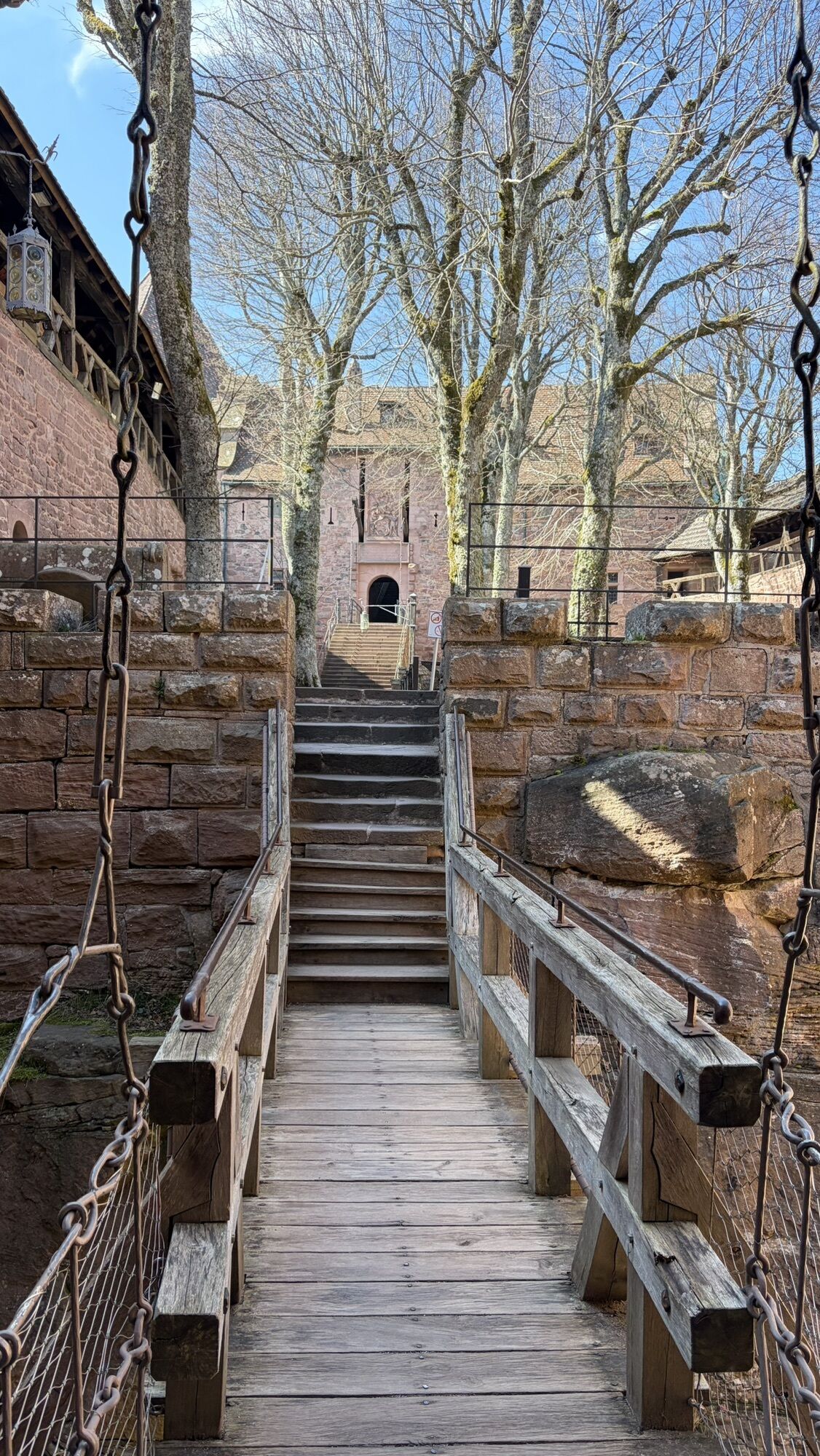
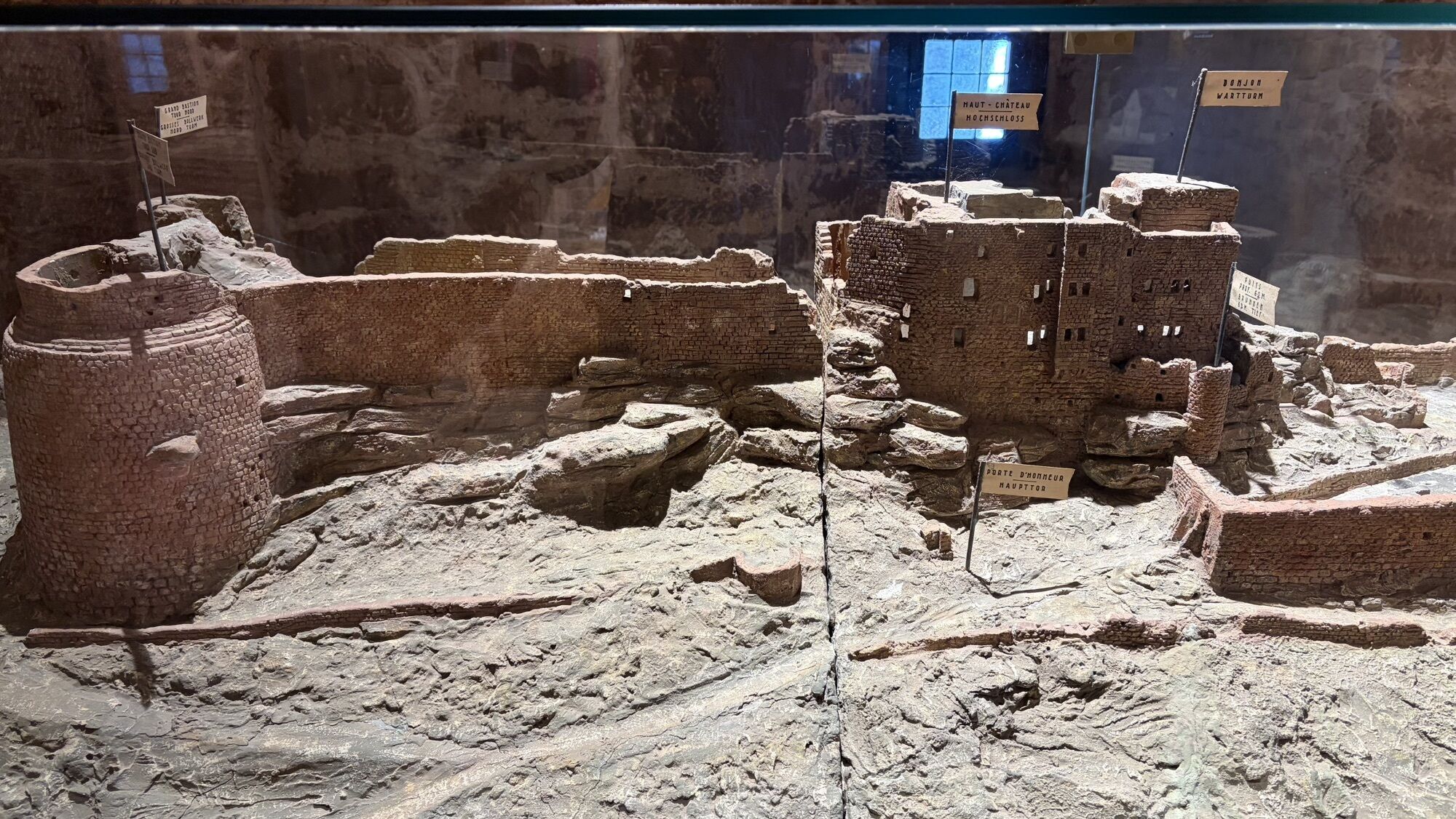
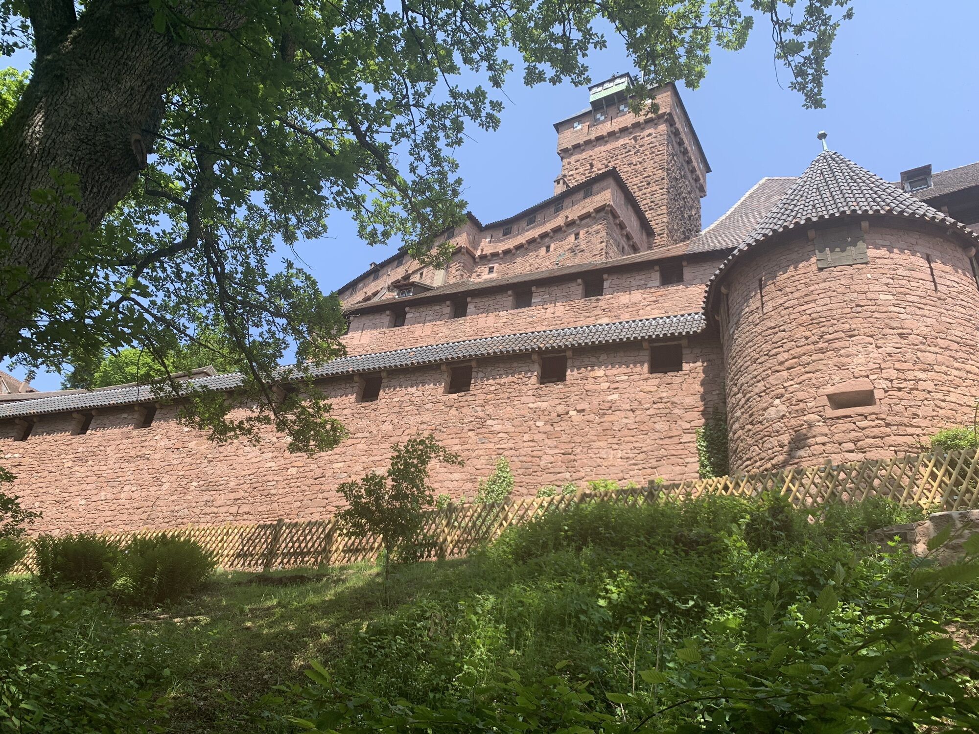
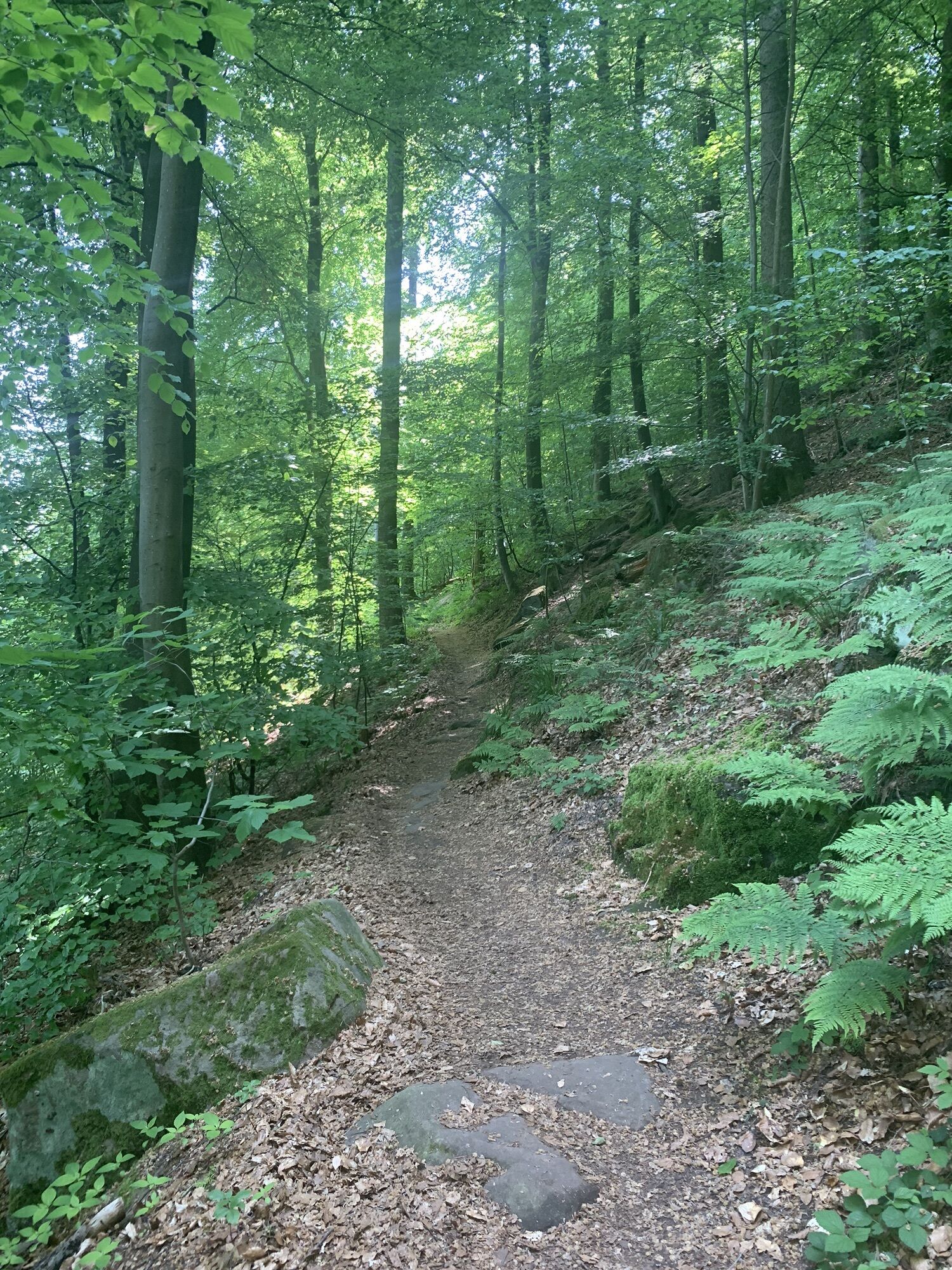
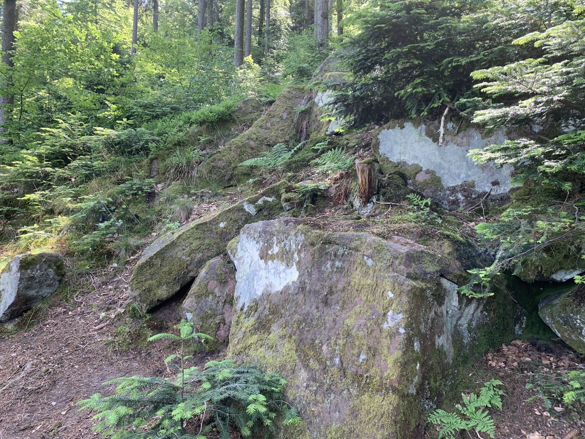
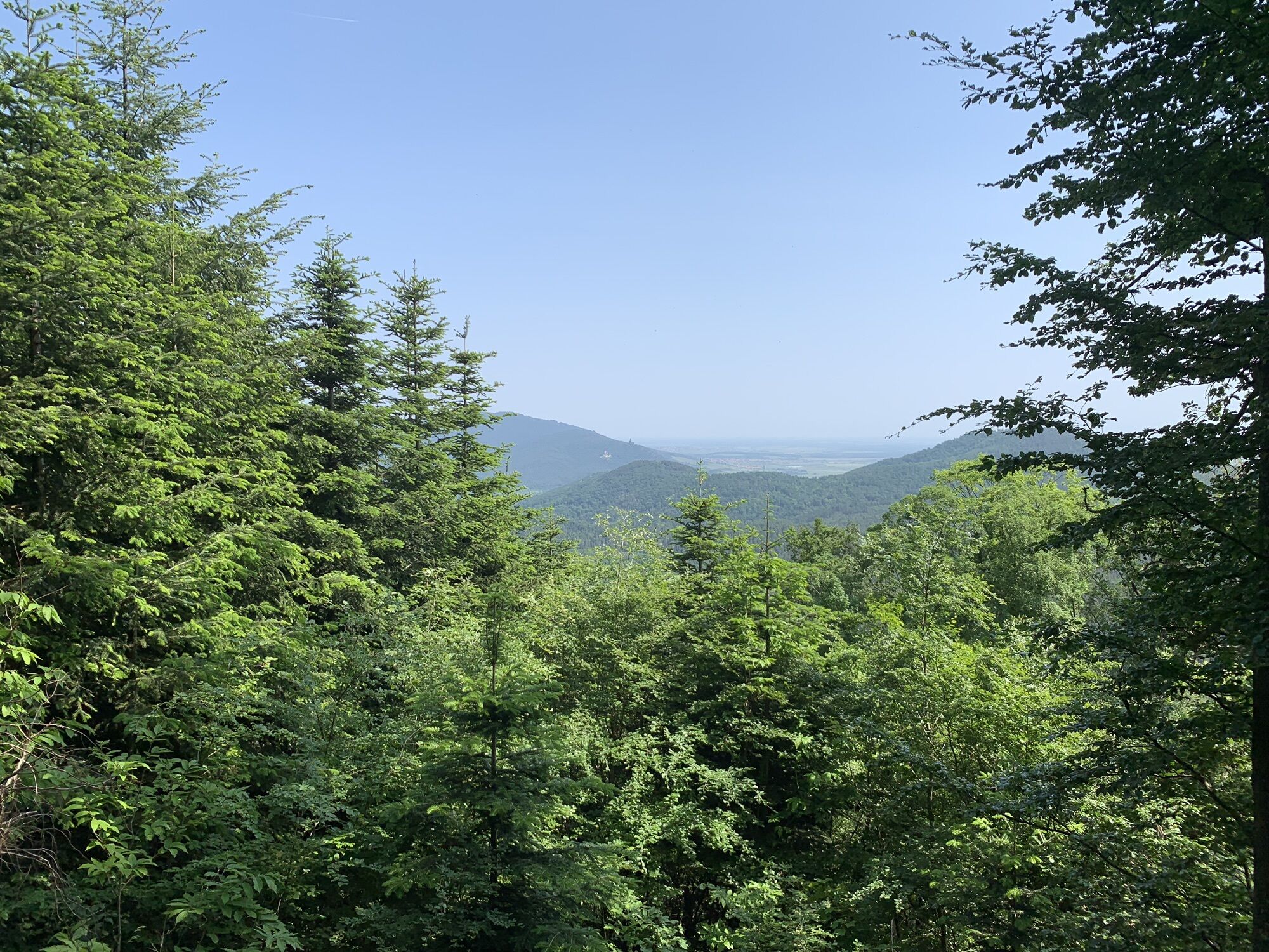
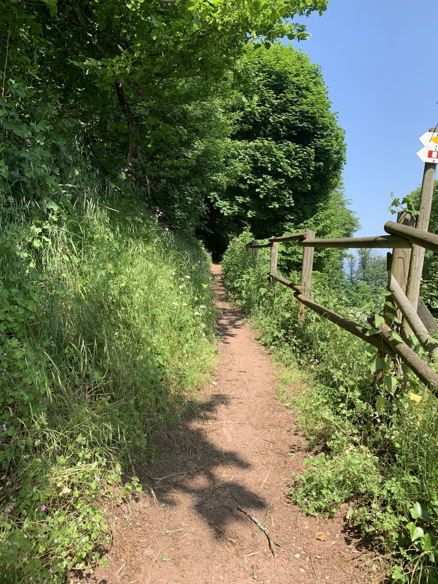
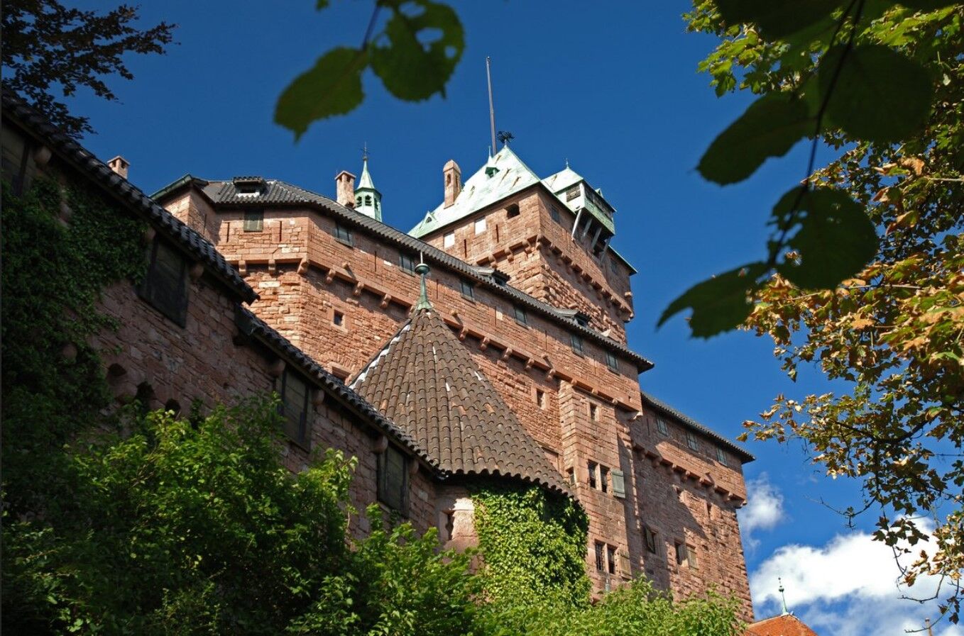
This high place is also the starting and ending point for many hikes. The Haut-Koenigsbourg massif offers a true variety of trails with remarkable landscapes and provides pure moments of happiness for...
This high place is also the starting and ending point for many hikes. The Haut-Koenigsbourg massif offers a true variety of trails with remarkable landscapes and provides pure moments of happiness for lovers of contemplation. Haut-Koenigsbourg offers stunning views... and in good weather, it is not rare to see the Alps!

see route
Tak
Recommended equipment
Clothing adapted to the season and conditions (cold, hot, humid…)
Hiking shoes suitable for the terrain (even for children!)
Telescopic poles (useful for stability and to relieve joints)
Mobile phone and spare battery if needed
In case of problem
Call 112 (European emergency number)
5 key points to convey your alert:
Where? town, place, route, altitude
Who? identity, phone number
What? type of accident, number of victims, severity, fall dynamics
When? time of accident Weather? wind, visibility
Wick parking lot - Monkey Mountain
www.fluo.eu
Free parking on site
Sélestat Haut-Koenigsbourg Tourism
2 place du Dr Maurice Kubler
67600 Selestat
Tel: 03 88 58 87 20
accueil@selestat-haut-koenigsbourg.com

Popularne wycieczki w okolicy
-
3,5
Ribeauvillé-Riquewihr between forest and vineyard
średniWędrówka 12,5 km -
5,0
"Grands Crus" Bike Route
średniJazda na rowerze 29,7 km -
Way of Saint James of Compostela in Alsace
średniTrasa pielgrzymki 274,4 km -
Cycling route: Alsace Vineyard Cycle Route: from Marlenheim to Thann
ciężkiKolarstwo długodystansowe 141,4 km -
Bike route: EuroVelo5 Via Romea. Saarbrücken – Strasbourg – Basel
średniKolarstwo długodystansowe 388,7 km -
5,0
Radltour an der Elsässer Weinstraße
średniE-Bike 43,9 km -
Saint Hippolyte - Haut Kœnigsbourg
światłoWędrówka 12,4 km -
Crossing the Vosges Massif - Stage 12 - Châtenois - Ribeauvillé
ciężkidługodystansowy szlak pieszy 19,5 km -
Traversée du Massif des Vosges - Stage 11 - Barr - Châtenois
ciężkidługodystansowy szlak pieszy 30,7 km -
3,0
Tour Haut-Koenigsnourg de St Hypolite
światłoWędrówka 11,8 km
Wędrówki i tropienie


Nie przegap ofert i inspiracji na następne wakacje
Twój adres e-mail została dodana do listy mailingowej.





