


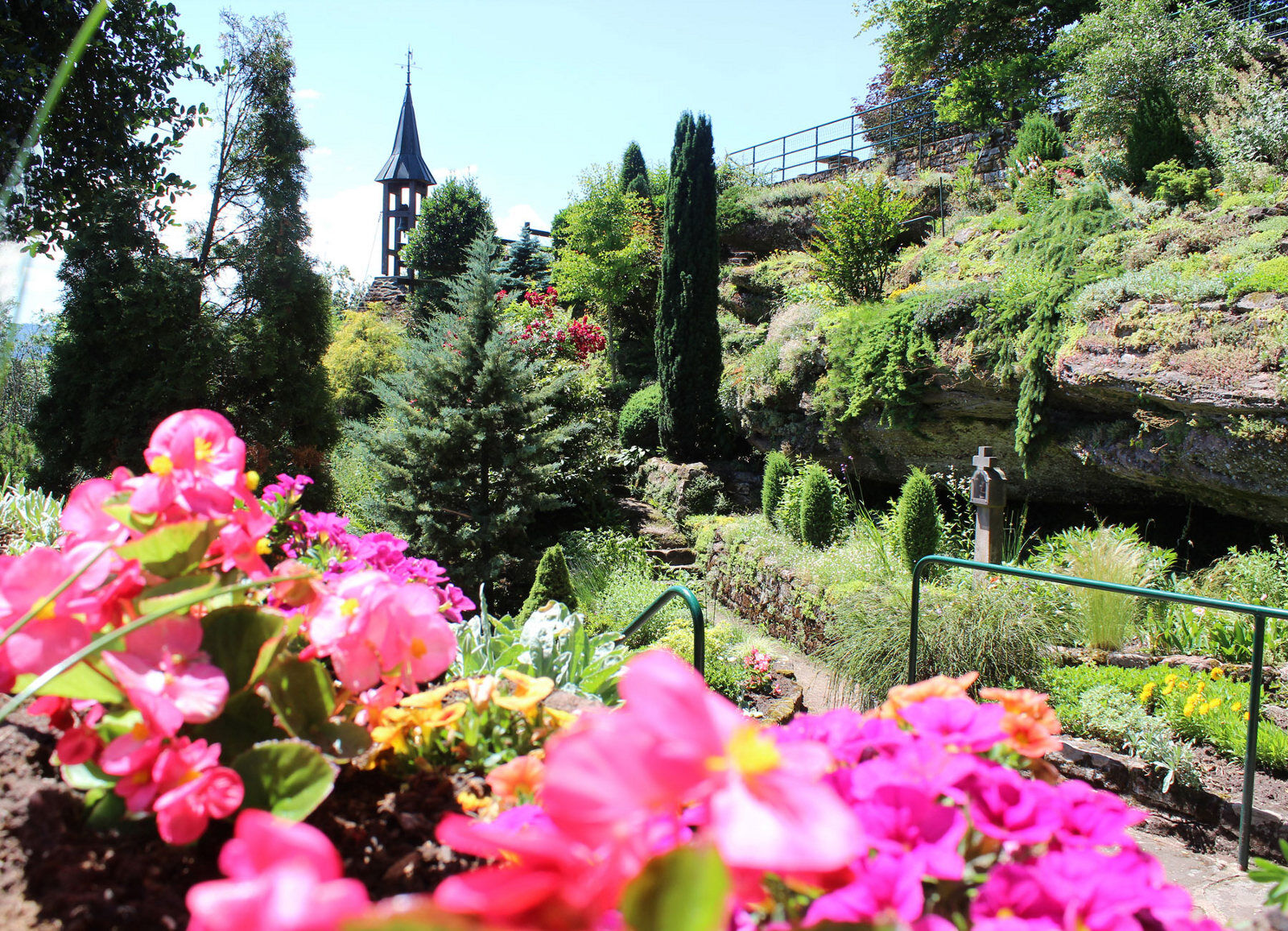
Saint-Vit Cave route
A Wow view awaits you there!


http://apps.tourisme-alsace.info/photos/saverne/photos/221007850_d1.pdf
Tak
Tak
Clothing adapted to the season and conditions (cold, hot, humid…)
Hiking shoes suitable for the terrain (even for children!)
Telescopic poles (useful for stability and to relieve the joints)
Mobile phone and spare battery if needed
Check the general and local weather ensuring no precipitation. Get information about the approach walk, itinerary height, duration, possible escape routes (IGN map, GPS, guidebook, etc…)
Assess possible risks by consulting mountain professionals, refuges, hostels
Inform someone close about your objective and contact them in case of changes: departure and return times, number of participants with each phone number, vehicle(s), parking
Avoid going alone, use equipment suitable for the activity, adjusted and in good condition, headlamp, complete first aid kit, survival blanket, etc…
In case of emergency, call 112
Saverne 67700
Saverne TER Fluo station, accessible by train from Strasbourg in 25 minutes
Free parking at Rohan Parking
Tourism Office of the Saverne Area
37 Grand'rue
67700 Saverne
Tel: 03 88 91 80 47
Popularne wycieczki w okolicy
Crossing of the Vosges Massif - Stage 06 - Saverne - Wangenbourg - Engenthal
średnidługodystansowy szlak pieszy 25,7 kmImsthal to Loosthal trail
średniWędrówka 12,0 kmCrossing of the Vosges Massif - Stage 05 - La Petite Pierre - Saverne
średnidługodystansowy szlak pieszy 21,1 kmPath of the three rocks
średniWędrówka 10,6 km- 5,0
Circuit of the Baerenloch washhouse
średniWędrówka 19,1 km Micro Aventure 3 Traversée du Massif des Vosges - Sur le sentier enchanté
średniWędrówka 42,8 kmMTB Base Route 2 La Suisse d'Alsace
średniMountainbike 29,2 kmMountain Bike Base Circuit 1 La Mossig
światłoMountainbike 20,1 km- 3,0
Imsthal Loop
światłoMountainbike 6,05 km Loop of Geissfels starting from Reinhardsmunster
średniWędrówka 6,85 km
Wędrówki i tropienie


Nie przegap ofert i inspiracji na następne wakacje
Twój adres e-mail została dodana do listy mailingowej.