Nawigacja
Pobierz tę trasę na swój telefon komórkowy
Mapa
Alsace Vosges Stork Circuit - Xonrupt-Longemer - Gueberschwihr
ciężki
Jazda konna
37,11 km
Zeskanuj kod QR i rozpocznij nawigację w aplikacji bergfex.
QR Code
Wędrówki i tropienie

Alsace Vosges Stork Circuit - Xonrupt-Longemer - Gueberschwihr

Odległość
37,11 km
Czas trwania
08:00 h
Ascent
843 hm
Poziom morza
433 - 1 356 m

Poziom trudności: 4
Ścieżka do pobrania
Mapa
Alsace Vosges Stork Circuit - Xonrupt-Longemer - Gueberschwihr
ciężki
Jazda konna
37,11 km
Trasa
Trasa
Mapa
Alsace Vosges Stork Circuit - Xonrupt-Longemer - Gueberschwihr
ciężki
Jazda konna
37,11 km
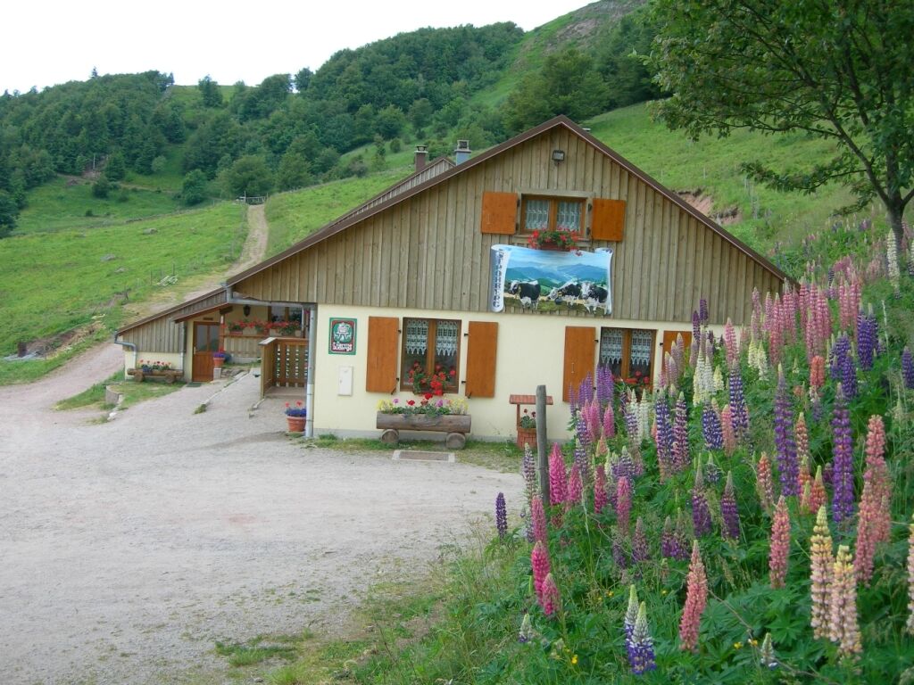
Refuge du Sotré
(1 199 m)
Schronienie
0,0 km
Le Sommet du Hohneck
(1 361 m)
Restauracja
1,2 km
Hohneck
(1 363 m)
Szczyt
1,5 km
Schiessroth
(1 171 m)
Korytarz/teren
2,8 km
Ferme Auberge du Schiessroth
(1 135 m)
Restauracja
3,0 km
Ferme Auberge du Gaschney
(1 000 m)
Restauracja
4,3 km
Gaschney
(996 m)
Rozliczenie
4,3 km
Pfeiferberg
(773 m)
Korytarz/teren
8,5 km
Pfeiferberg Eichwaeldele
(719 m)
Korytarz/teren
8,7 km
Waldmatt
(599 m)
Korytarz/teren
9,5 km
In der Litt
(559 m)
Korytarz/teren
9,6 km
Im Sill
(501 m)
Korytarz/teren
9,9 km
Brandmatt
(492 m)
Korytarz/teren
10,2 km
Le Soleil d'Or
(480 m)
Restauracja
10,6 km
Metzeral
(480 m)
Wioska
10,7 km
Metzeral
(480 m)
Stacja kolejowa
11,1 km
Strietgaerten
(472 m)
Korytarz/teren
11,7 km
Vorderstriet
(480 m)
Korytarz/teren
12,4 km
Muhlbach-sur-Munster
(600 m)
Wioska
12,5 km
Tiefenaeckerruecken
(494 m)
Korytarz/teren
12,8 km
Ofenbach
(530 m)
Korytarz/teren
13,5 km
Grosse Ebene
(617 m)
Korytarz/teren
14,2 km
Brach
(786 m)
Korytarz/teren
16,7 km
Vorder Bocksarn
(928 m)
Korytarz/teren
18,2 km
Rothenbrunnen
(1 117 m)
Korytarz/teren
21,3 km
Ferme-Auberge Rothenbrunnen
(1 125 m)
Restauracja
21,5 km
Col du Strohberg
(1 155 m)
Siodełko górskie
22,8 km
Ferme-Auberge Strohberg
(1 100 m)
Restauracja
23,6 km
Königsdorfer Quelle
(1 045 m)
Źródło
23,9 km
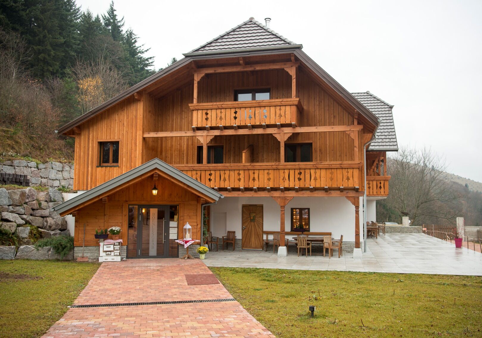
Auberge du Boenlesgrab
(864 m)
Restauracja
25,4 km
Plaine de Rouffach
(882 m)
Korytarz/teren
25,9 km
Hirtzenstein
(810 m)
Korytarz/teren
28,0 km
La Borne Jaune
(738 m)
Siodełko górskie
31,5 km
Osenbuhr
(545 m)
Rozliczenie
34,3 km
Auberge Au bon Chasseur
(547 m)
Restauracja
34,4 km
Auberge Saint-Marc
(431 m)
Restauracja
36,9 km
Informacje o wycieczce

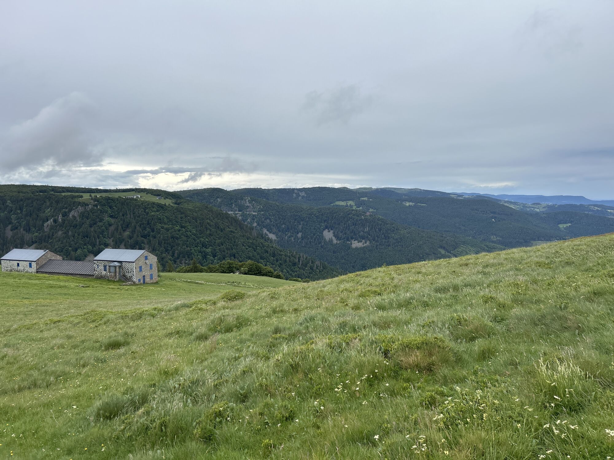
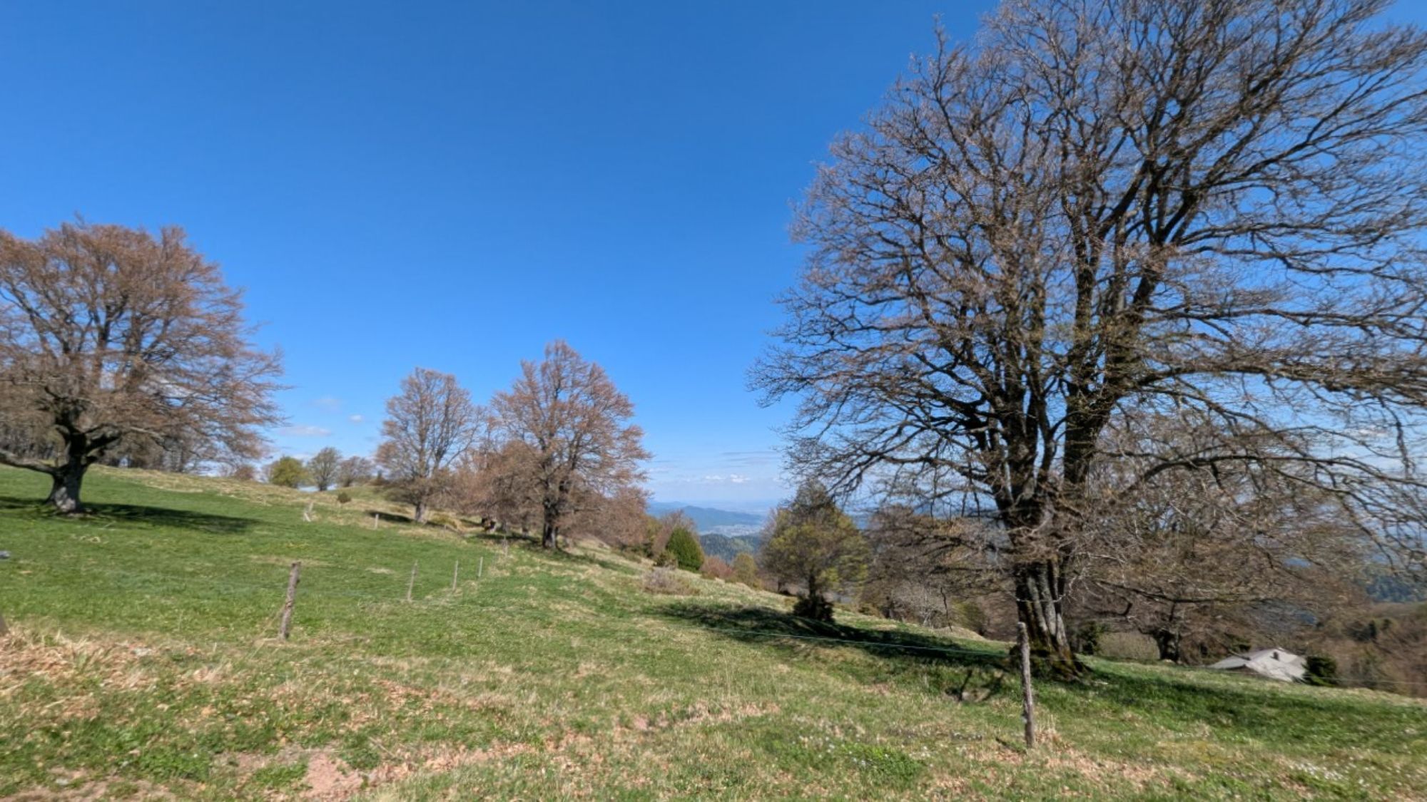
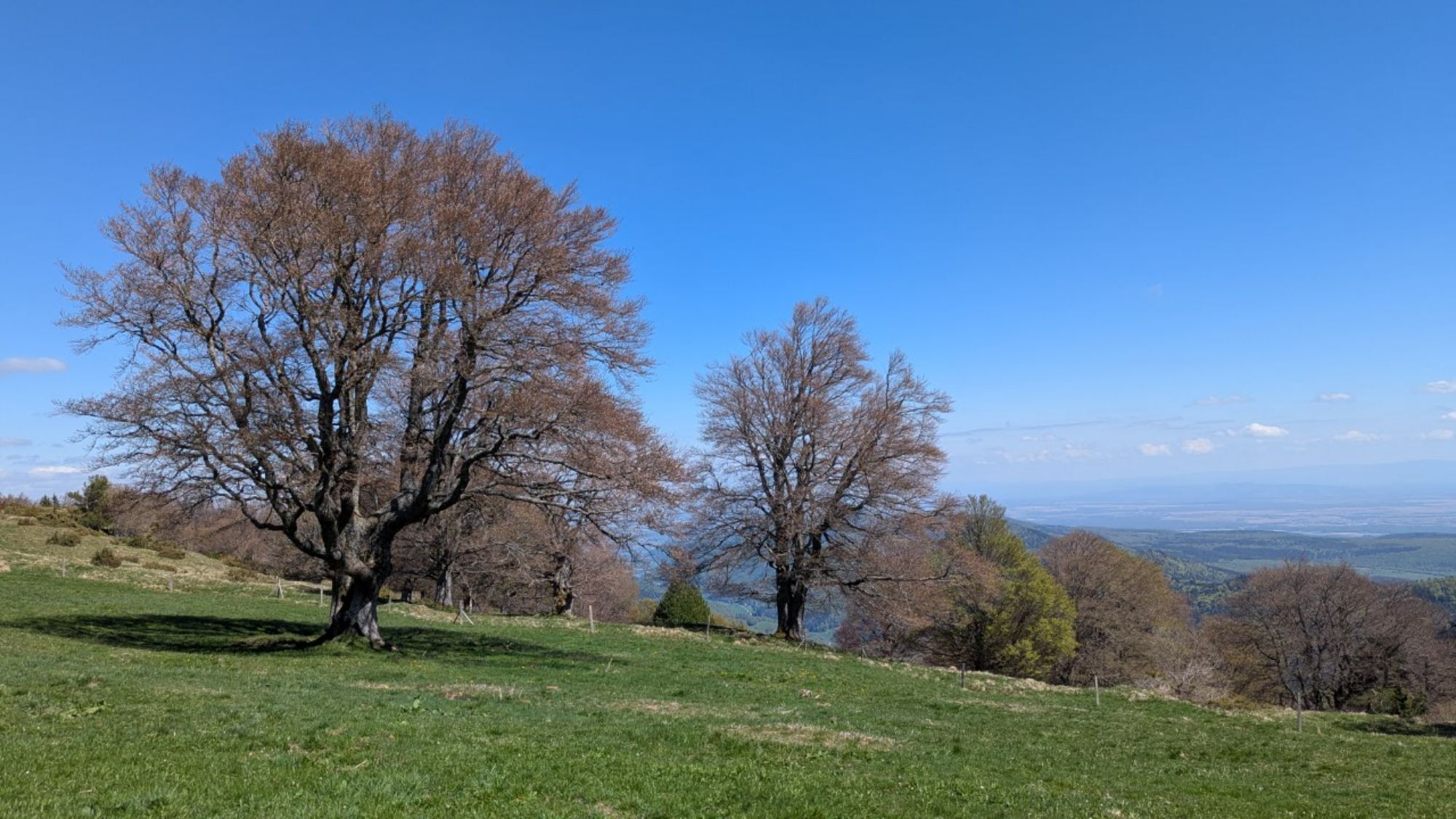
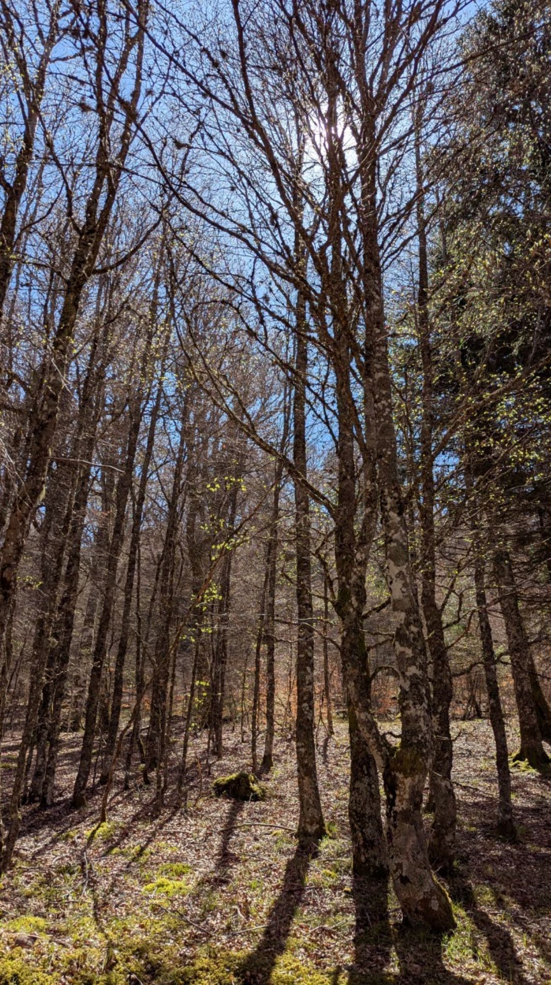
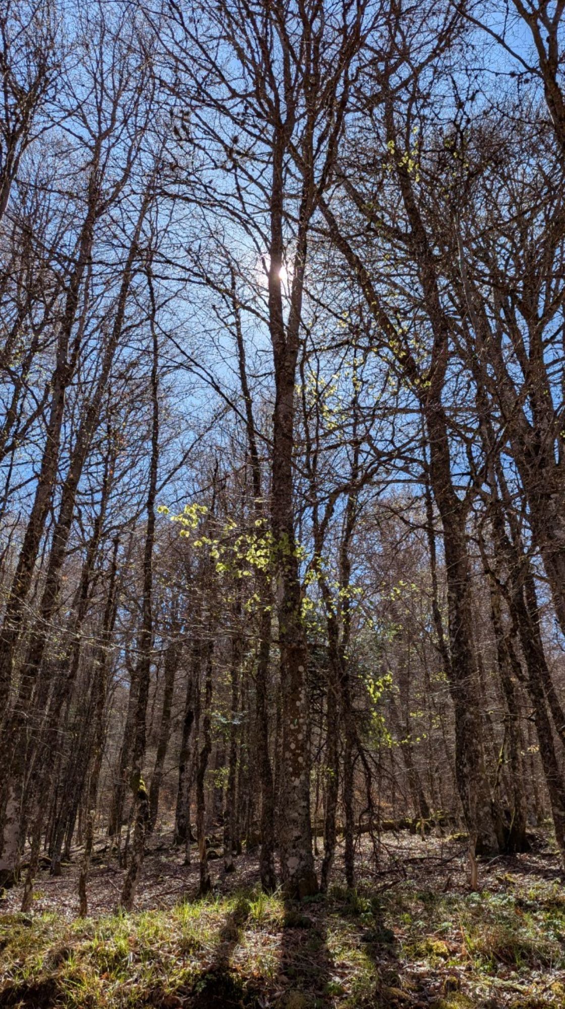
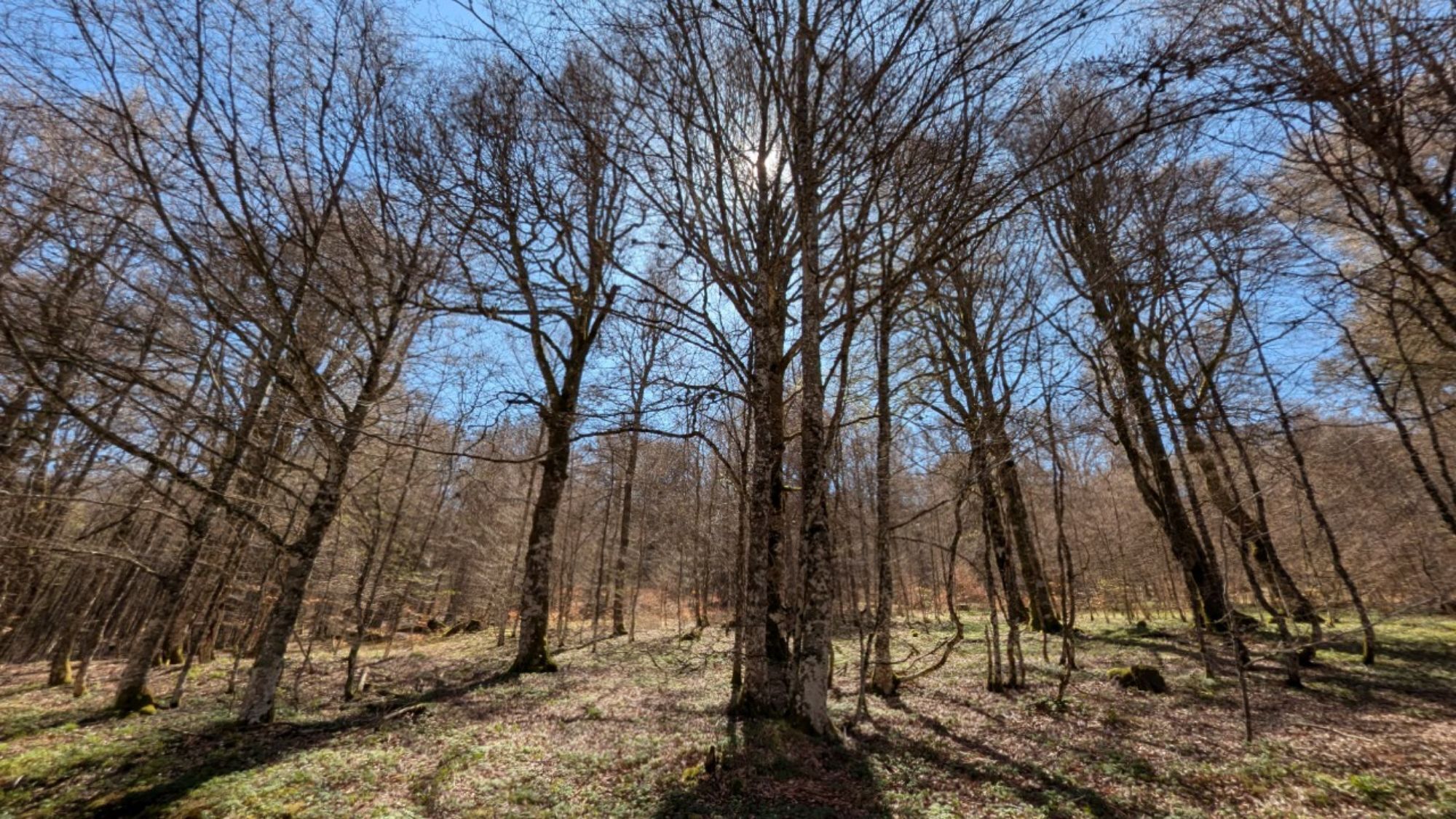
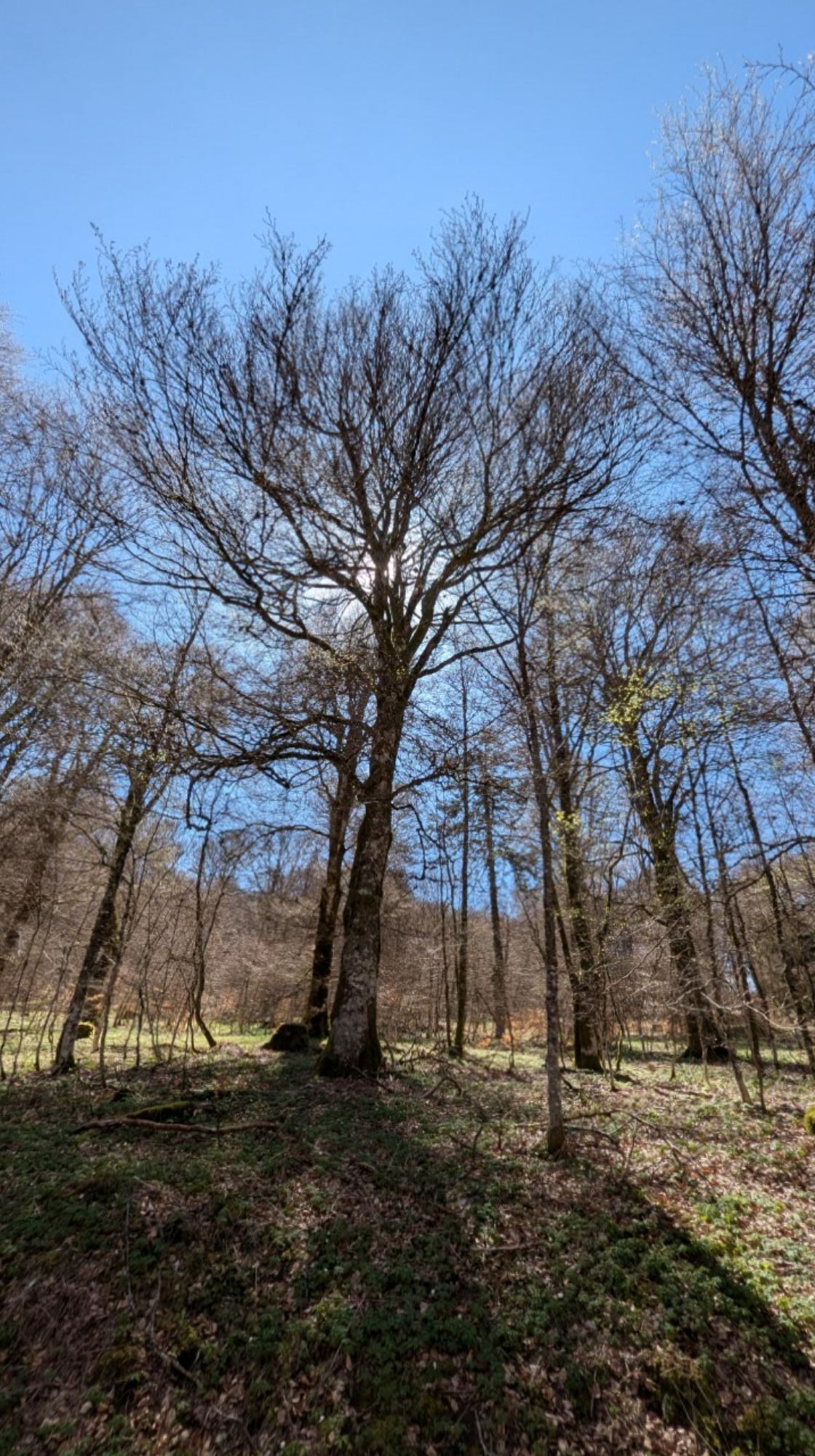
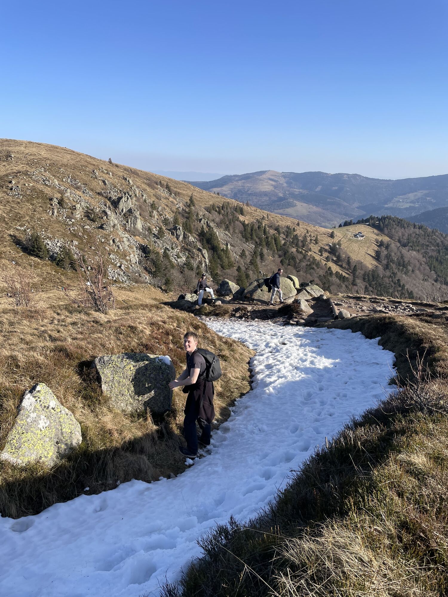
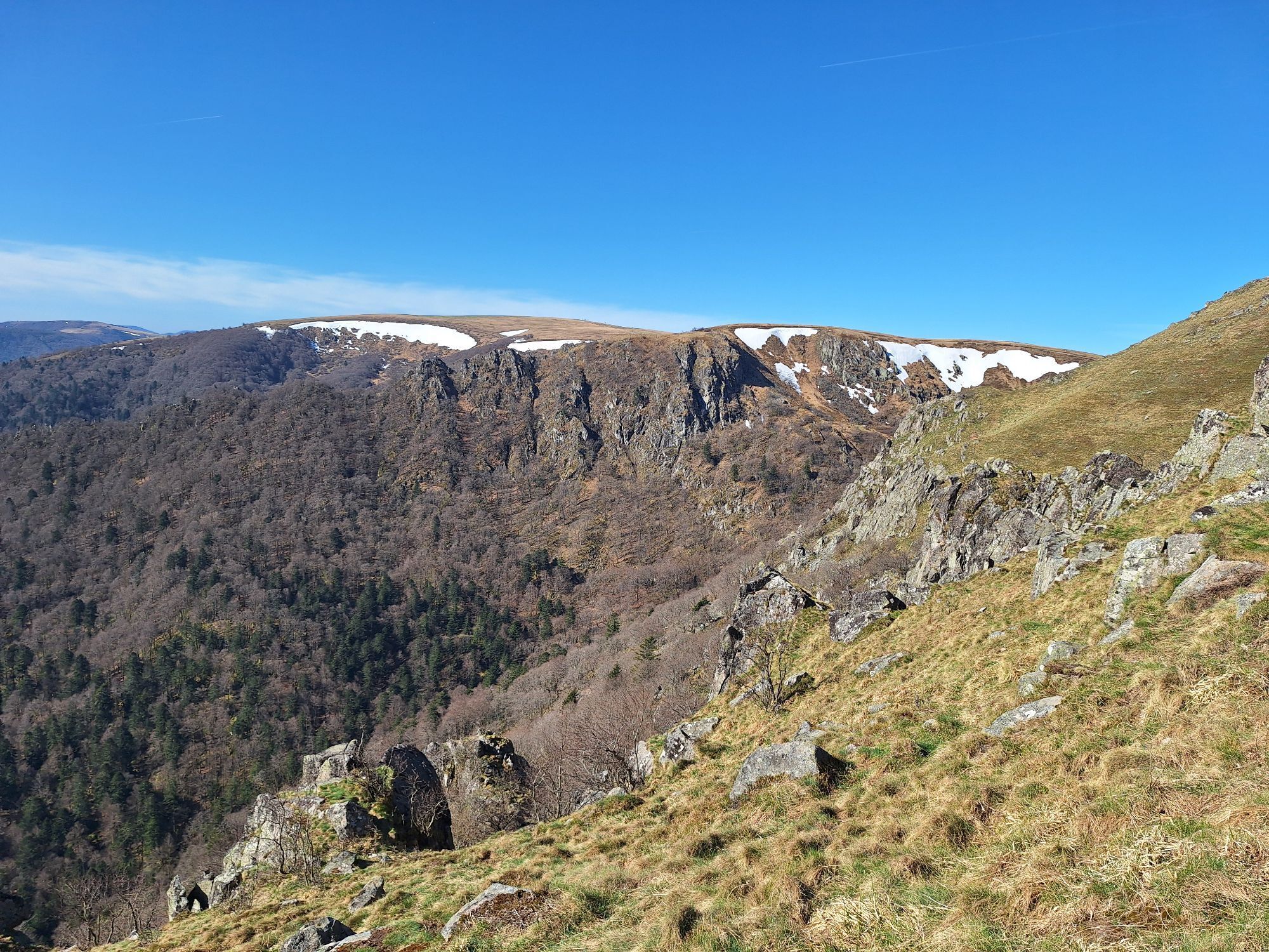
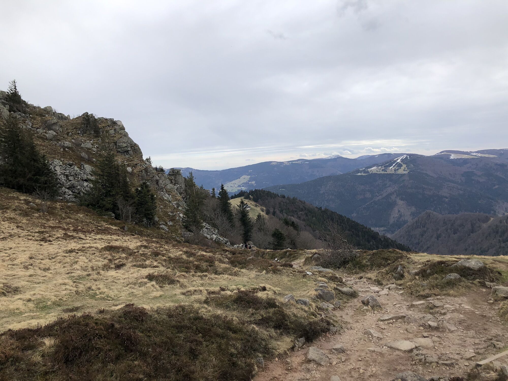
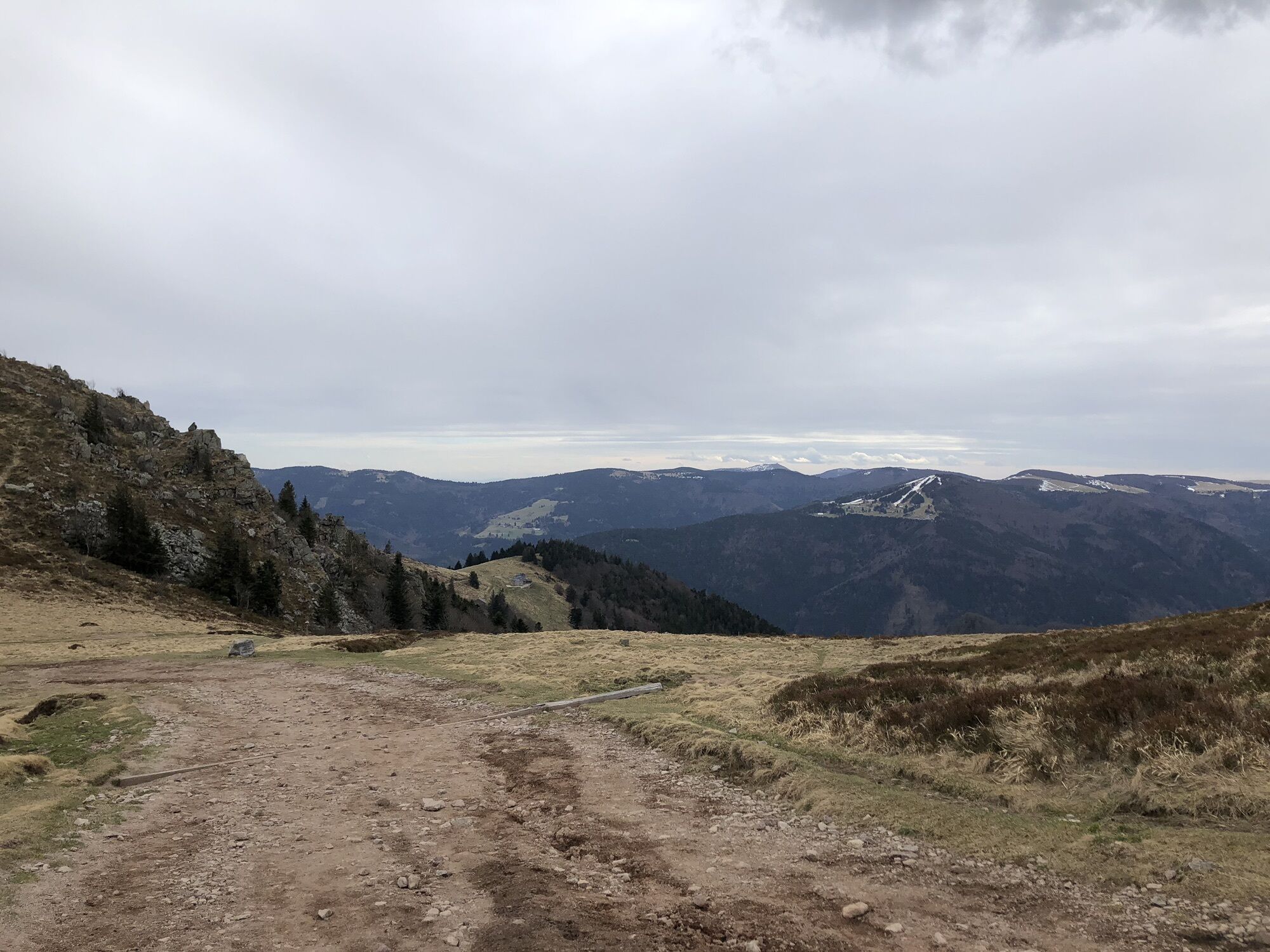
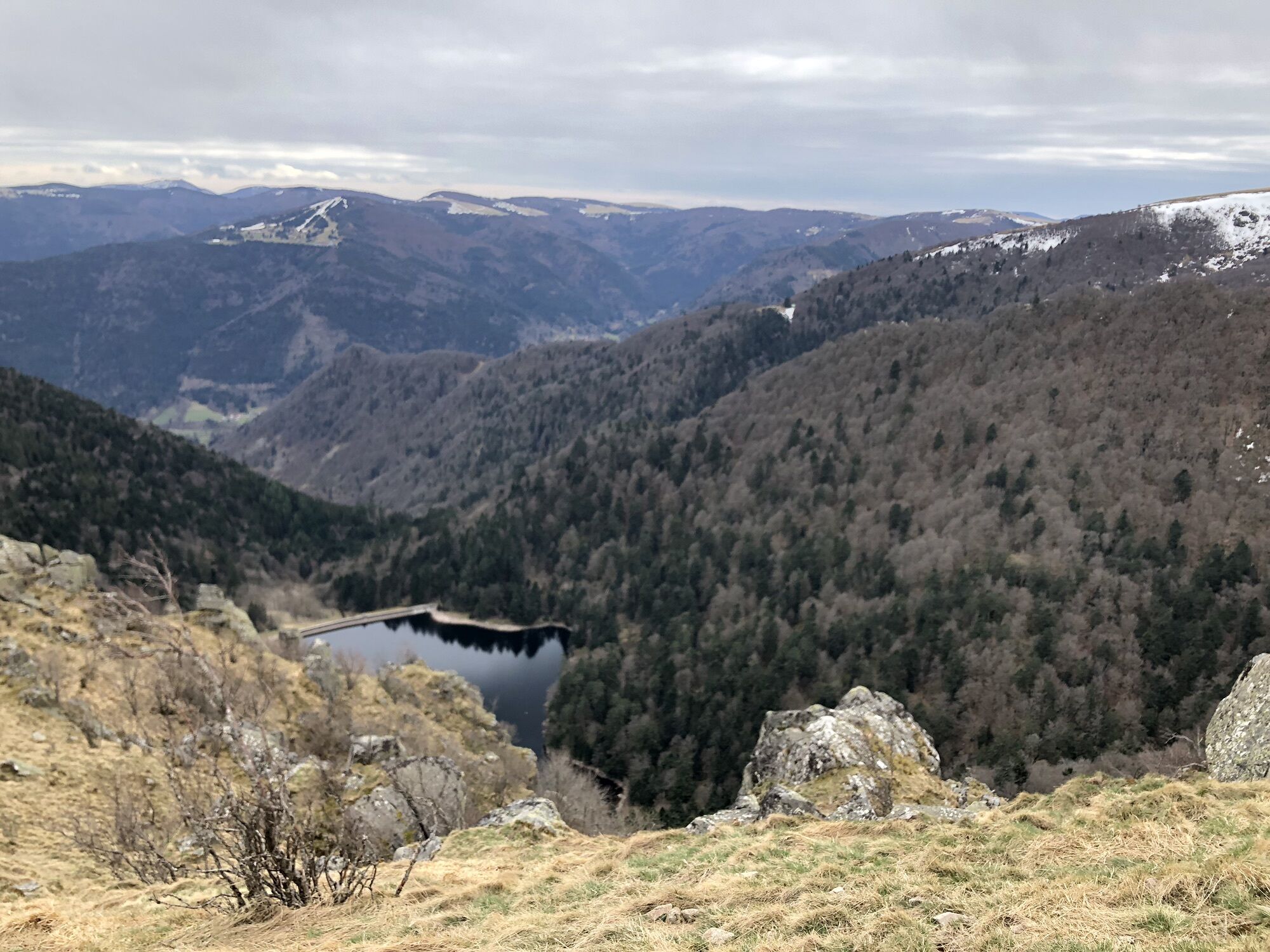
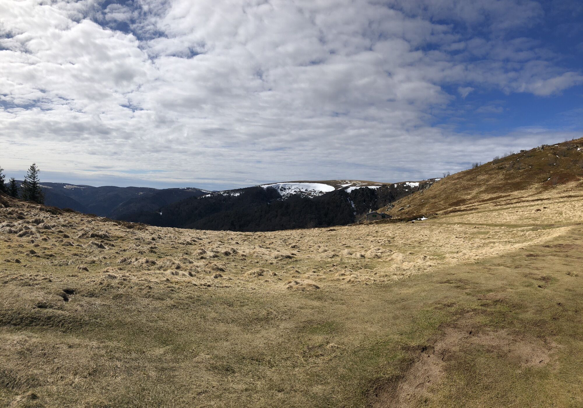
Explore the hillside vineyards and cross the charming and characteristic Alsatian villages such as Kaysersberg, Riquewihr, Ribeauvillé. Discover our wine tradition in an exceptional terroir and visit a cellar to taste our best grape varieties. Reach the foothills of the Vosges massif where many picturesque medieval castles stand. Hike around the castle of Kaysersberg and the three castles of Ribeauvillé. Then gain altitude by touring the Munster and Kaysersberg valleys and set out to discover the typical farm inns where Alsatian regional dishes are served to rediscover the taste of authenticity. During this journey, you will also be charmed by exceptional views from the Vosges ridges and will be able to admire the many lakes along the route!

Technologia
4 / 6
Stan
5 / 6
Krajobraz
4 / 6
Doświadczenie
4 / 6
Najlepsza pora roku
Sty
Lut
Mar
Kwi
Maj
Cze
Lip
Sie
Wrz
Paź
Lis
Gru
Udostępnij trasę
Mapa
Alsace Vosges Stork Circuit - Xonrupt-Longemer - Gueberschwihr
ciężki
Jazda konna
37,11 km
Błąd
Wystąpił błąd. Spróbuj ponownie.
Informacje o trasie
Trasa

From

Xonrupt-Longemer

Refuge du Sotré (Orbey) Estelle and Jean-Marie HATON Chaume du Haut-Chitelet +33(0)3 29 22 13 97 contact@sotre.fr

to

Gueberschwihr

Auberge Saint Marc Marie and Dimitri HUMBERT Route de Saint-Marc +33(0)9 53 29 88 38 aubergesaintmarc@outlook.fr

Wycieczka na szczyt

Tak

Sprzęt

Knowing the rules relating to the right of circulation of horses is fundamental for the practice of horseback riding.

Instrukcje bezpieczeństwa

Knowing the rules relating to the right of circulation of horses is fundamental for the practice of horseback riding.

Informacje o przyjeździe
Przybycie

Xonrupt-Langemer (88)

Transport publiczny

www.fluo.eu

Parking

Free parking on site

Dodatkowe informacje i wskazówki
Poziom trudności

4

Dodatkowe informacje

Grand-Est Regional Committee of Equestrian Tourism

contact@crtegrandest.fr | www.crtegrandest.fr

Nie ma jeszcze recenzji
Napisz recenzję

Recenzje pomagają innym użytkownikom wybrać kolejną przygodę. Oceniaj tylko trasę, a nie pogodę lub przekąskę.

Wybierz jedną z gwiazdek, aby ocenić wycieczkę
Zła trasa
Słaba trasa
Przeciętna wycieczka
Dobra wycieczka
Doskonała wycieczka
bergfex logo Uzyskaj wgląd Zawsze na żywo z ponad 9 500 kamer internetowych. bergfex Jako użytkownik Pro, możesz teraz zobaczyć odpowiednie kamery internetowe dla wielu wycieczek w aplikacji wycieczki od. Pozwala to na bezpośredni podgląd aktualnych warunków.
Wędrówki i tropienie

Wędrówki i tropienie

Wędrówki i tropienie
Ponad 550.000 propozycji wycieczek, szczegółowe mapy i intuicyjny planer tras sprawiają, że aplikacja jest niezbędna dla wszystkich entuzjastów przyrody.
bergfex