






Bike route: loop BL346 - The Sarre, between forests and orchards

Poziom trudności: 2
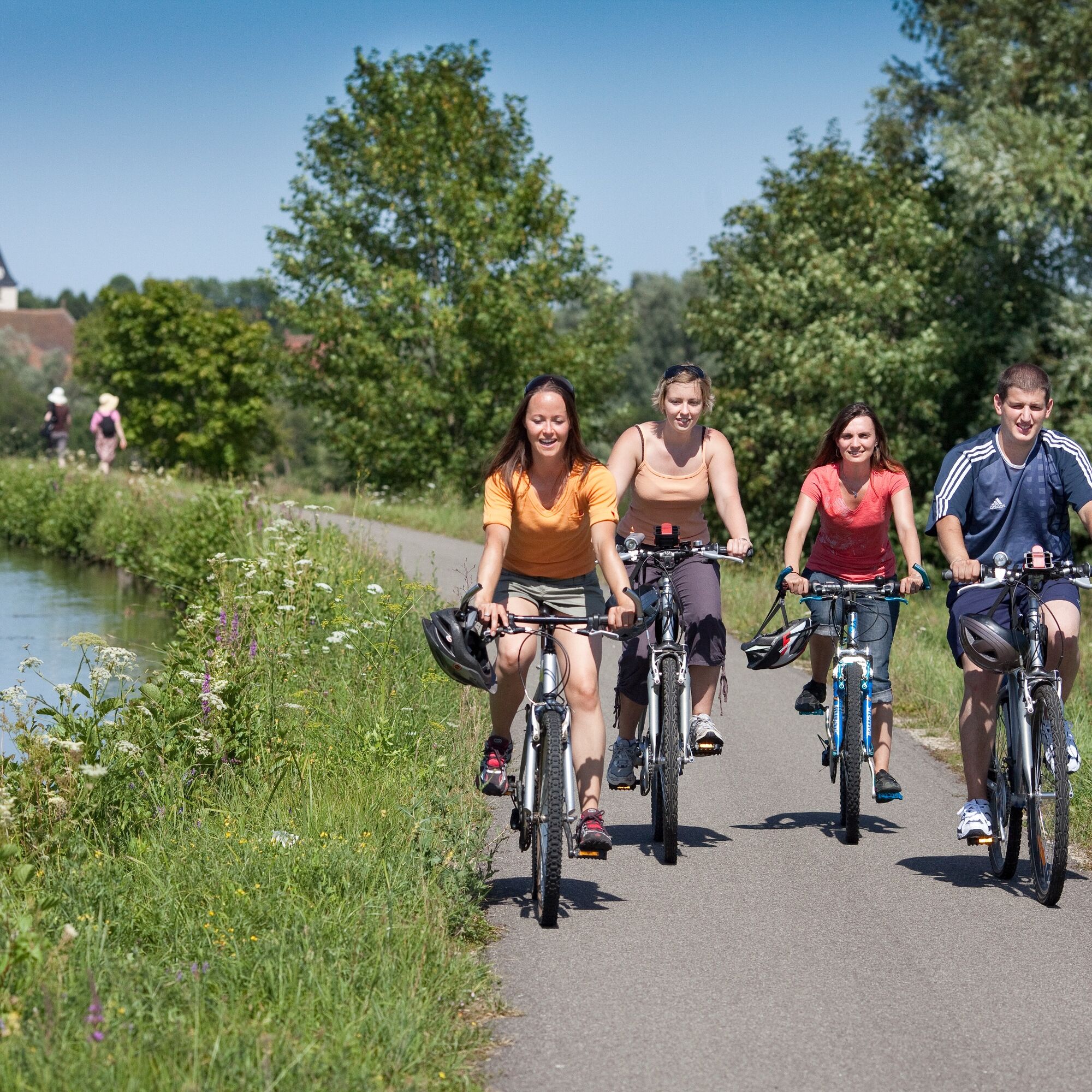
This loop will take you, starting from the port of Harskirchen (Roeser mill and inn, leisure area), through the municipalities of Hinsingen (Restaurant and local products "la Grange du Paysan") and Altwiller...
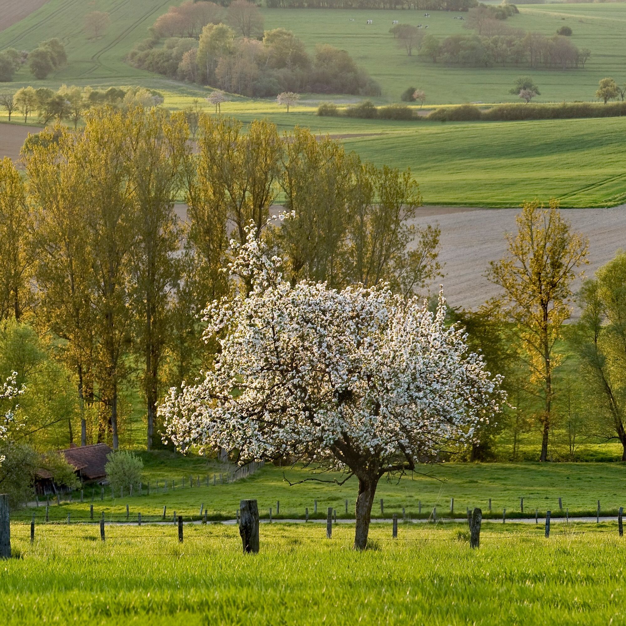
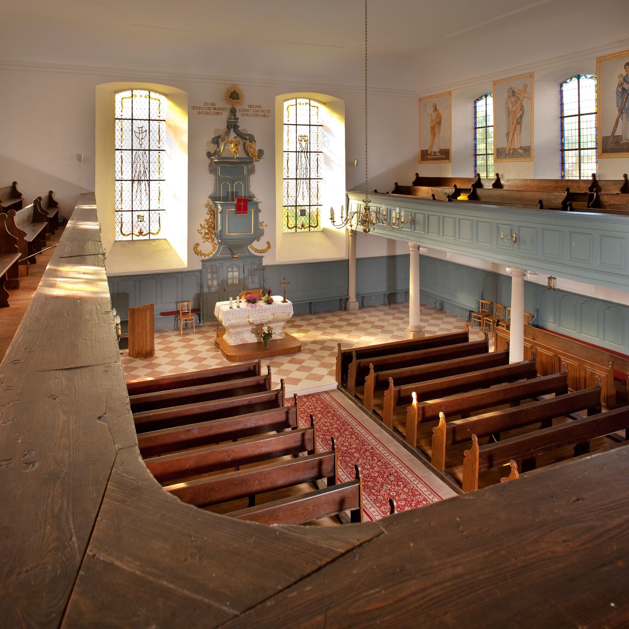
This loop will take you, starting from the port of Harskirchen (Roeser mill and inn, leisure area), through the municipalities of Hinsingen (Restaurant and local products "la Grange du Paysan") and Altwiller (Longchamp Farm, Gaulish hut), the Bonnefontaine forest (ruins of the old castle, horse nature park, Restaurant l’Ecluse 16 and Sarre Canal). After Diedendorf (castle, orchards), you can admire the magnificent landscapes of the Sarre valley before returning to your starting point.

Tak
Tak
Before you leave:
Make sure the bike is in perfect mechanical condition, including tires and brakes Ensure the bike is properly adjusted to your body shape Wearing a helmet is strongly recommended Bring a repair kit Remember that the Highway Code applies to cyclists in all circumstances Never ride more than two abreast and line up in a single file when traffic conditions require it Respect other road users as you would like them to respect you Choose a route suited to your physical abilities Inform those around you of your itinerary Check the weather conditions A first aid kit is not essential but can be very useful Inform yourself of and keep emergency phone numbers. Respect the environment by not throwing food wrappers on the roadside If you have to return at nightfall, make sure you can see and be seenEmergency number: 112
2
Popularne wycieczki w okolicy
Saar-Elsass Loop
średniJazda na rowerze 275,9 kmSaar Trail - Saarwanderweg
światłodługodystansowy szlak pieszy 134,2 kmSarreguemines - Église de l'Immaculée-Conception - Chapelle Notre-Dame-de-Lourdes - Église Saint-Jean-Baptiste
średniKolarstwo długodystansowe 79 kmSarreguemines - Rémelfing - Gondrexange
średniRower szutrowy 69,0 kmMittersheim - Bois de Schwanhals - Schwan Hals - Muhlwendel
światłoMountainbike 20,9 kmLoupershouse - Église Saint-Hubert - Église Saint-Martin - Église Saint-Materne
ciężkiJazda na rowerze 52,6 kmKalhausen - Église luthérienne - Église protestante - Église Protestante
ciężkiJazda na rowerze 68,2 kmAuersmacher - Rilchingen-Hanweiler - Sarreguemines - Rémelfing
ciężkiMountainbike 97,2 kmDiane-Capelle - Sur le Chemin de l'Écluse - L'Éden Lorrain
średniWędrówka 15,5 kmLanggarten - Wildberg - Église Saint-Michel - Im Stuck
średniMountainbike 35,4 km
Wędrówki i tropienie


Nie przegap ofert i inspiracji na następne wakacje
Twój adres e-mail została dodana do listy mailingowej.





