


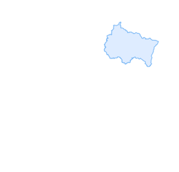

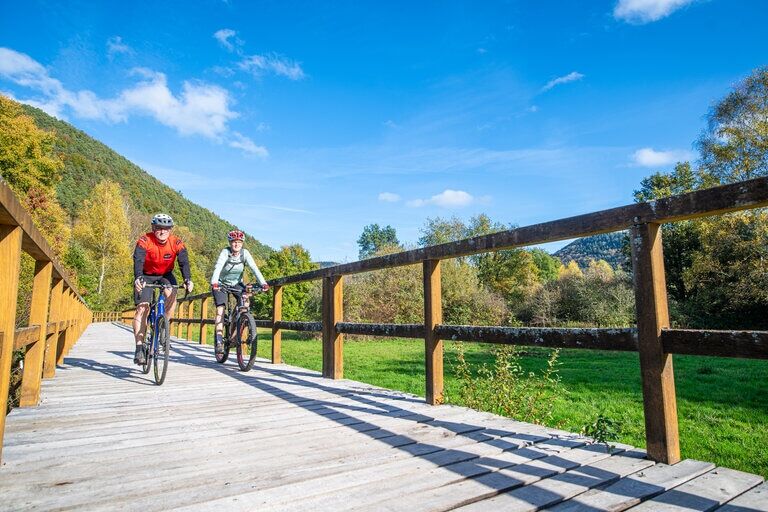
Cross-border cycling route "Friendship Route"
Poziom trudności: 3
This round trip starts in Obersteinbach, a typical Alsatian village with picturesque half-timbered houses. It passes historic sites such as the "Black Board" at the "green" border post to Ludwigswinkel...
This round trip starts in Obersteinbach, a typical Alsatian village with picturesque half-timbered houses. It passes historic sites such as the "Black Board" at the "green" border post to Ludwigswinkel with information panels on the history of the two nations and the Cold War installation "Area 1," also with interesting information panels. In addition, the tour passes the interesting Biosphere House with a treetop path in Fischbach and the ruin of the "Wasigenstein" castle.
Attention!
Always be friendly and considerate to everyone you meet along the way.
Respect nature, do not destroy plants, and always stay on the paths.
Remember to take your rubbish with you.
Please always keep your dog on a leash.
Park only in designated parking spaces.

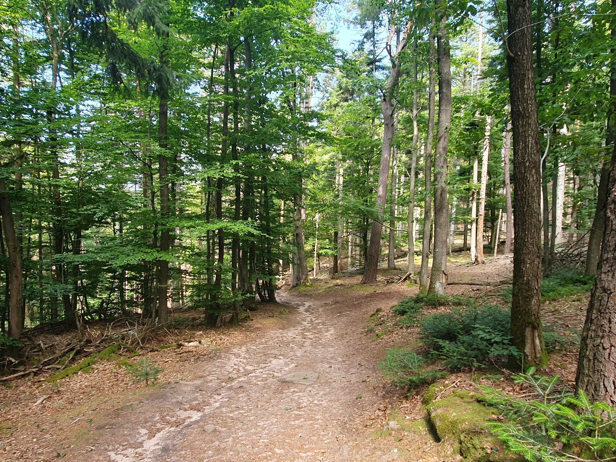
From Obersteinbach, the route passes in front of the Lutzelhardt Forest House. On a paved cycle path, you continue on a flat trail through a mixed forest to the "Black Board" at the Franco-German border, with information panels about the history of the two nations.
Another point of historical interest is the "Modern Castle" - Area1, a special arms depot from the Cold War with its circular route of 12 interpretation panels on this subject.
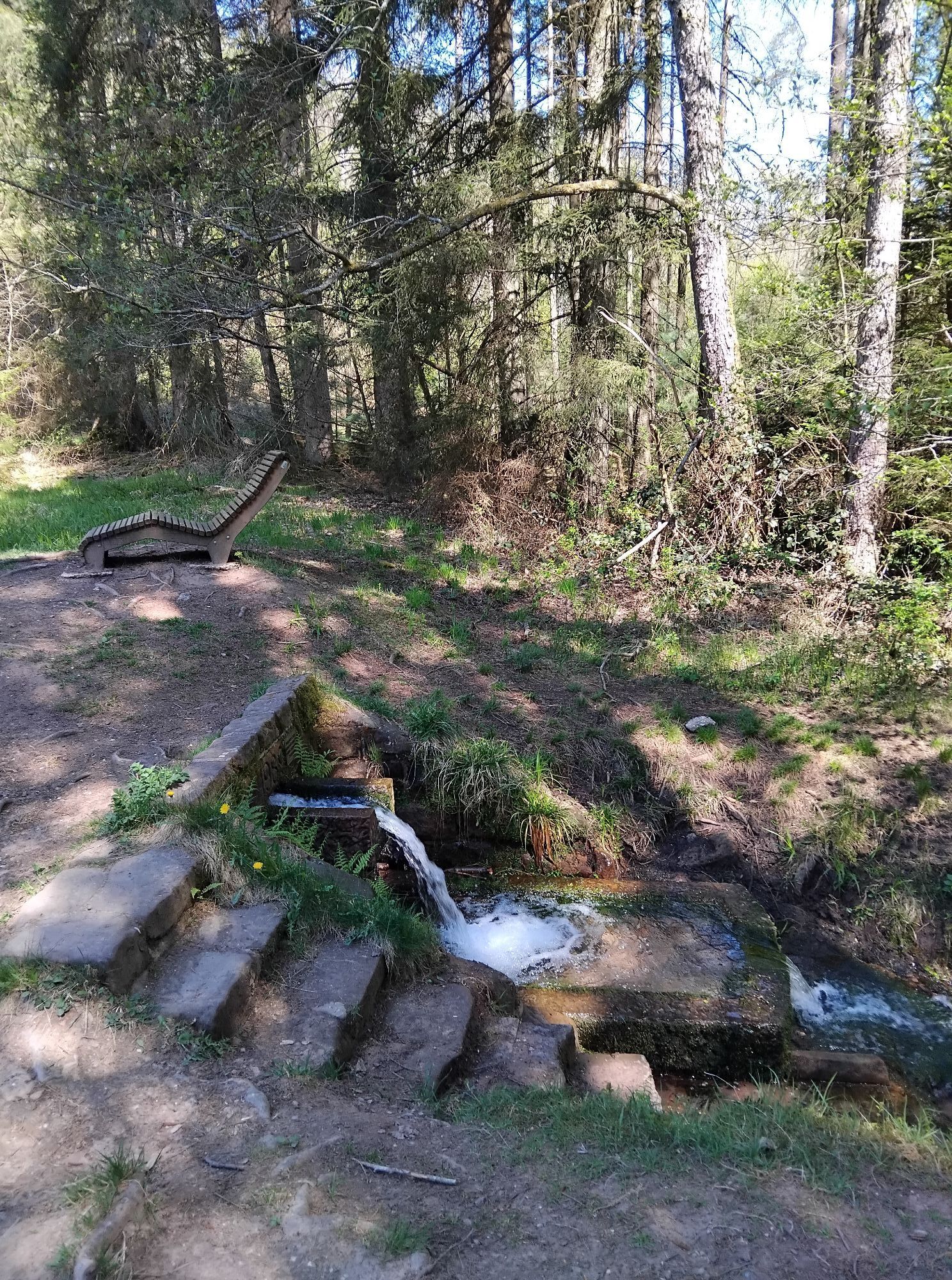
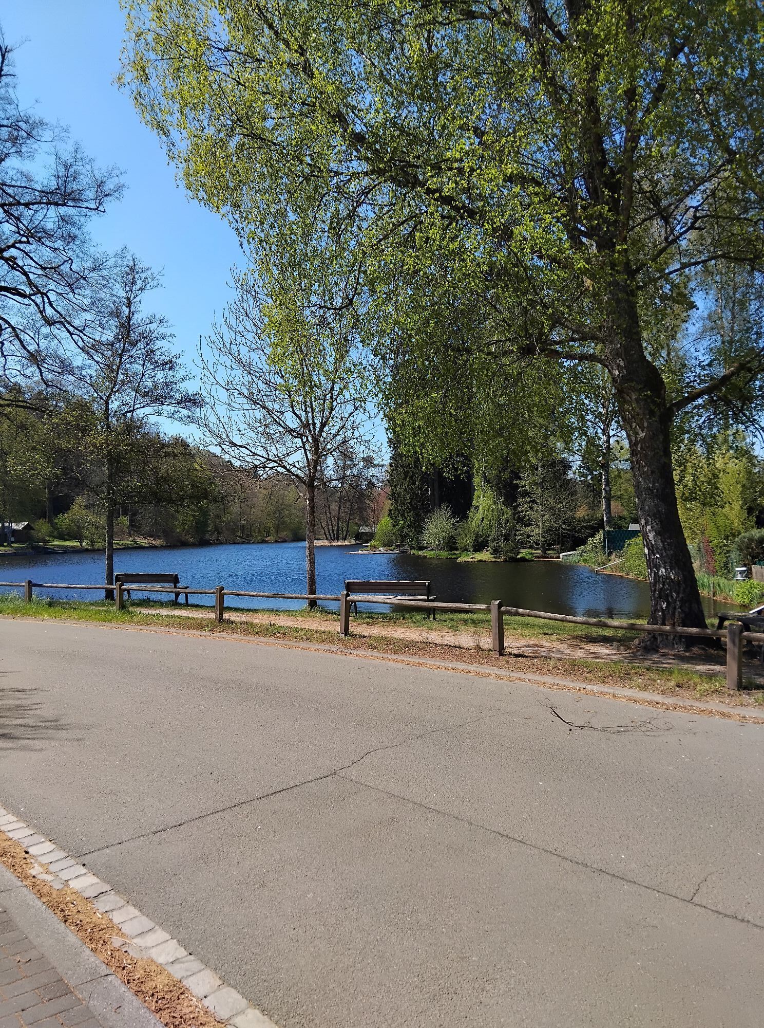
The Friendship Route now passes by the Rösselsweiher and the Rösselsquelle until we reach the Ludwigswinkel climate resort. Continue past the Mühlenweiher (Saarbacherhammer) to the village of Fischbach with its treetop path and biosphere house.
Now, we cycle along a path following the water to Schönau and pass the "Heilsbach" education and leisure center.
Continue through the village of Schönau and then gently climb to the typical Alsatian village "Wengelsbach." From there, the tour now leads steeply uphill in hairpin bends and turns towards Klingelfels.
Here, you can make a detour to the legendary ruin of the "Wasigenstein" castle.
When the Götzenberg pass, the highest point of this route, is reached, we descend to Obersteinbach back to our starting point.
We recommend the following standard equipment:
Muscle-powered or electric-assist bike for more comfort.
Helmet, technical clothing, saddlebags.
Sunglasses or safety glasses, also protect against insects.
Basic repair kit.
Charging accessories for electric bikes.
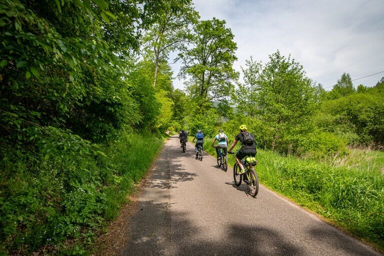
Often, our cycle paths run alongside footpaths on which we are invited to cycle and which we share with others.
Farmers and foresters use agricultural roads through fields and forests for their daily work (even on weekends) and therefore always have priority.
Special caution must also be taken when the paths run along roads (mostly quiet and little used) in and around Alsatian and Palatine villages.
B 10 Hinterweidenthal continue on B427 Dahn-Reichenbach, then turn towards Fischbach.
Shortly before the town sign, turn right off the main road towards the Biosphere House.
Here, you can directly join the Friendship Route.
By train to Bad Bergzabern or Hinterweidenthal, then by bus to Dahn and Bundenthal.
From May to October with excursion trains "Bundenthaler" and "Felsenland-Express" on Wednesdays, Saturdays, Sundays, and public holidays from Mannheim / Karlsruhe to Bundenthal station.
Info:
Parking, 44 Main Street, F-67510 Obersteinbach
3
Alsace Verte Tourist Office
Lembach Information Bureau
2, route de Bitche
67150 Lembach
+33 (0)3 88 86 71 45
www.alsace-verte.com
Dahner Felsenland Tourist Information
Schulstr. 29,
D-66994 Dahn
Telephone 06391 9196222
www.dahner-felsenland.de
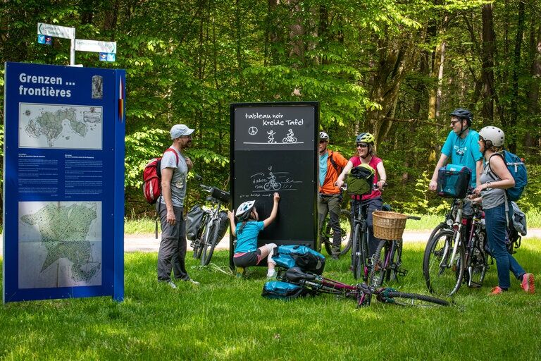
"Schwarze Tafel" - historic border crossing between Ludwigswinkel and Obersteinbach with information panels on the history of the two villages and nations.
"Modern Castle" - Area 1 - former special arms depot from the Cold War with a circular route of 12 stations on this subject.
Biosphere House with treetop path, Am Königsbruch 1, 66996 Fischbach, www.biosphaerenhaus.de
Ruins of "Wasigenstein" castle near Wengelsbach/F
Popularne wycieczki w okolicy
- 4,7
Dahner Felsenpfad
średniWędrówka 13,2 km - 4,5
Eppenbrunn - Hohler Felsen - Kupper
średniWędrówka 10,2 km - 4,8
Lemberg - Salzwoog - Schwamborn-Quelle - Teufelstisch
średniWędrówka 11,9 km - 4,8
Napoleon-Steig
średniWędrówka 12,3 km - 5,0
Roppeviller
światłoWędrówka 7,10 km - 4,8
Wasigenstein und Zigeunerfelsen von Obersteinbach
Wędrówka 10,6 km - 3,7
Dahn - Lachberg - Vogelsberg
średniWędrówka 18,7 km - 4,5
Northern Vosges - Circuit of the 4 castles
średniWędrówka 6,49 km - 4,5
Eyberg-Tour (Variante)
średniWędrówka 11,4 km - 4,5
Erfweiler - Hahnberg - Kahlenberg - Schindhard
średniWędrówka 14,6 km

Wędrówki i tropienie


Nie przegap ofert i inspiracji na następne wakacje
Twój adres e-mail została dodana do listy mailingowej.