


Strasbourg - Barr bike loop
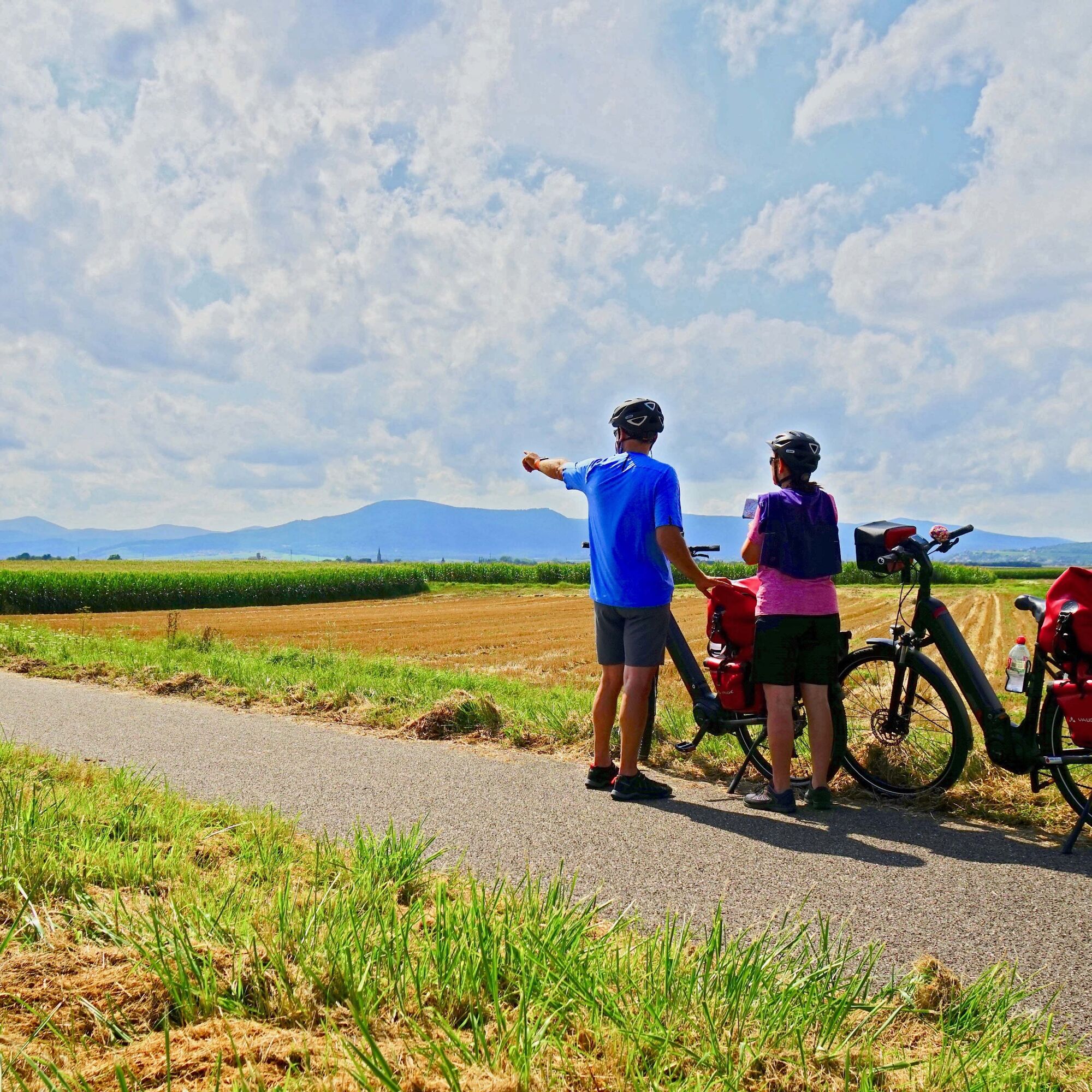
This circuit takes the pleasant greenway "Portes Bonheur, the quarry path" from Rosheim, then after Obernai, you cross orchards and vineyards. On the way back, you reach the agricultural plain of Alsace...
This circuit takes the pleasant greenway "Portes Bonheur, the quarry path" from Rosheim, then after Obernai, you cross orchards and vineyards. On the way back, you reach the agricultural plain of Alsace and the land of sauerkraut cabbage. This route gives you the opportunity to explore varied landscapes.
The more athletic will complete this loop in one day. You can also opt for train + bike or plan 1 or 2 nights along the circuit to fully enjoy your getaway.
Information and good deals at the Tourist Offices.
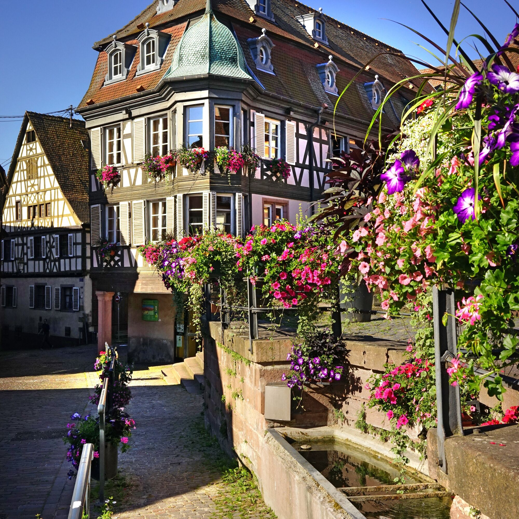
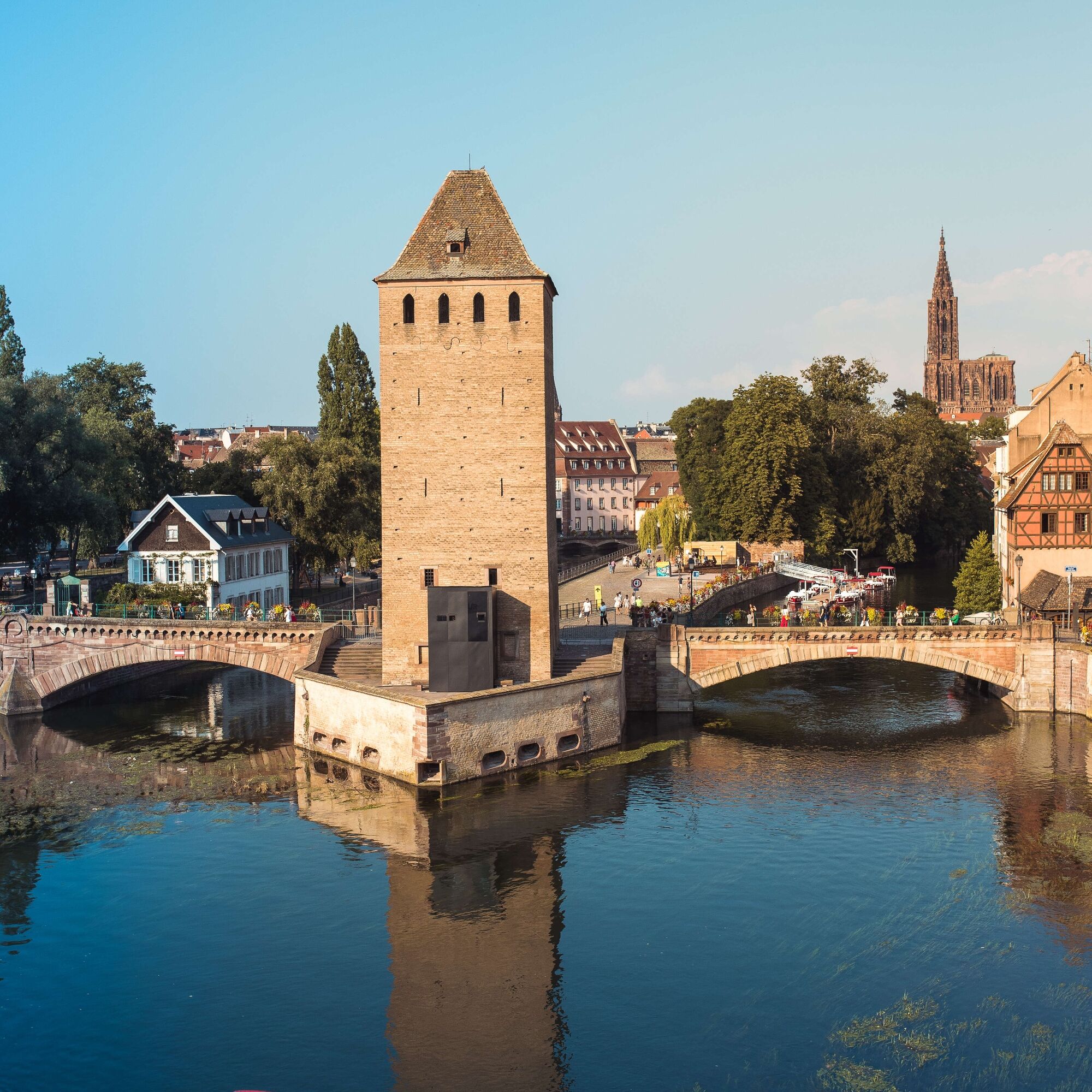
This circuit starts at Petite-France in Strasbourg near the Covered Bridges.
Follow the Bruche Canal cycle route / Eurovelo no. 5 to the town of Ergersheim.
At this stage, take the bike path towards Dachstein.
In Dachstein, take the fortified gate and cross the village.
Then continue to Altorf and then Griesheim-Près-Molsheim.
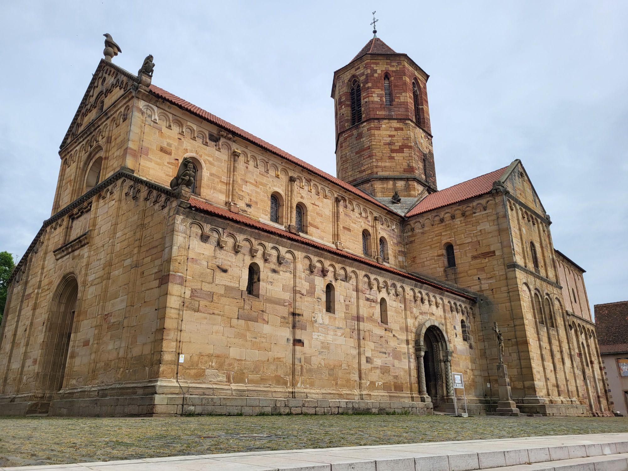
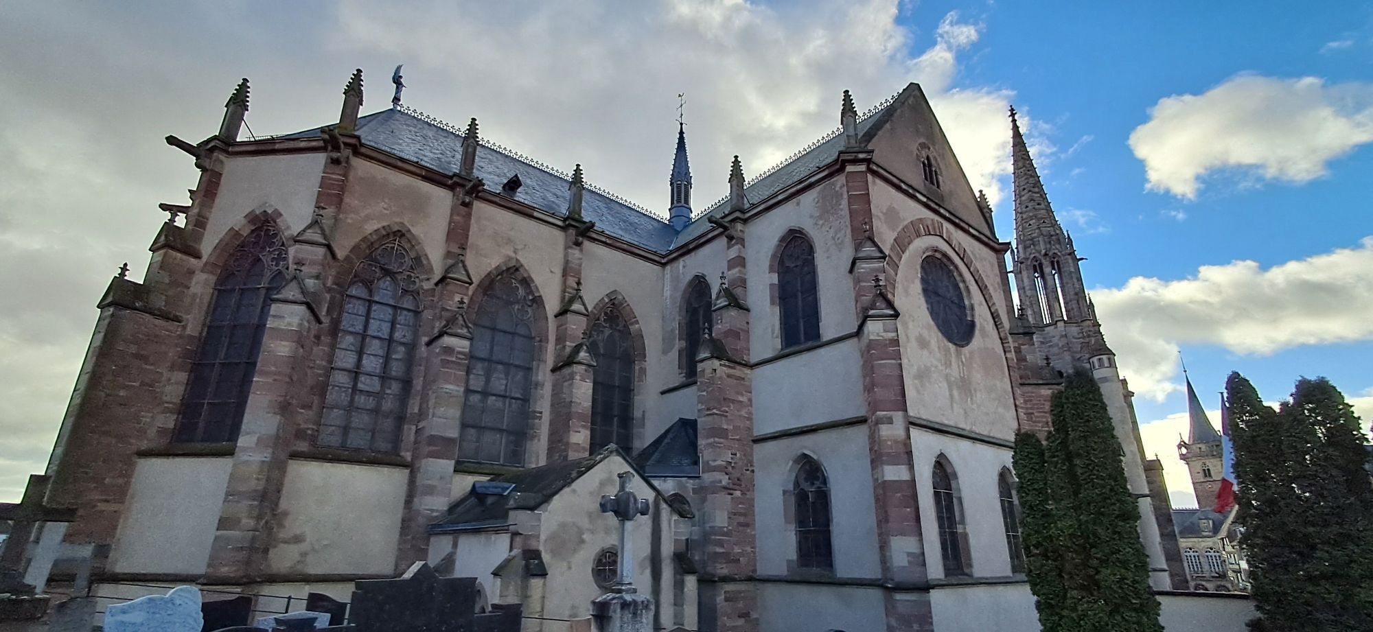
From the church in the town of Griesheim-Près-Molsheim, follow the direction to Rosheim and take marked route no. 60.
Arriving at the Tourist Office in the heart of Rosheim, turn right onto Braun Street.
Pass under the Lion Tower.
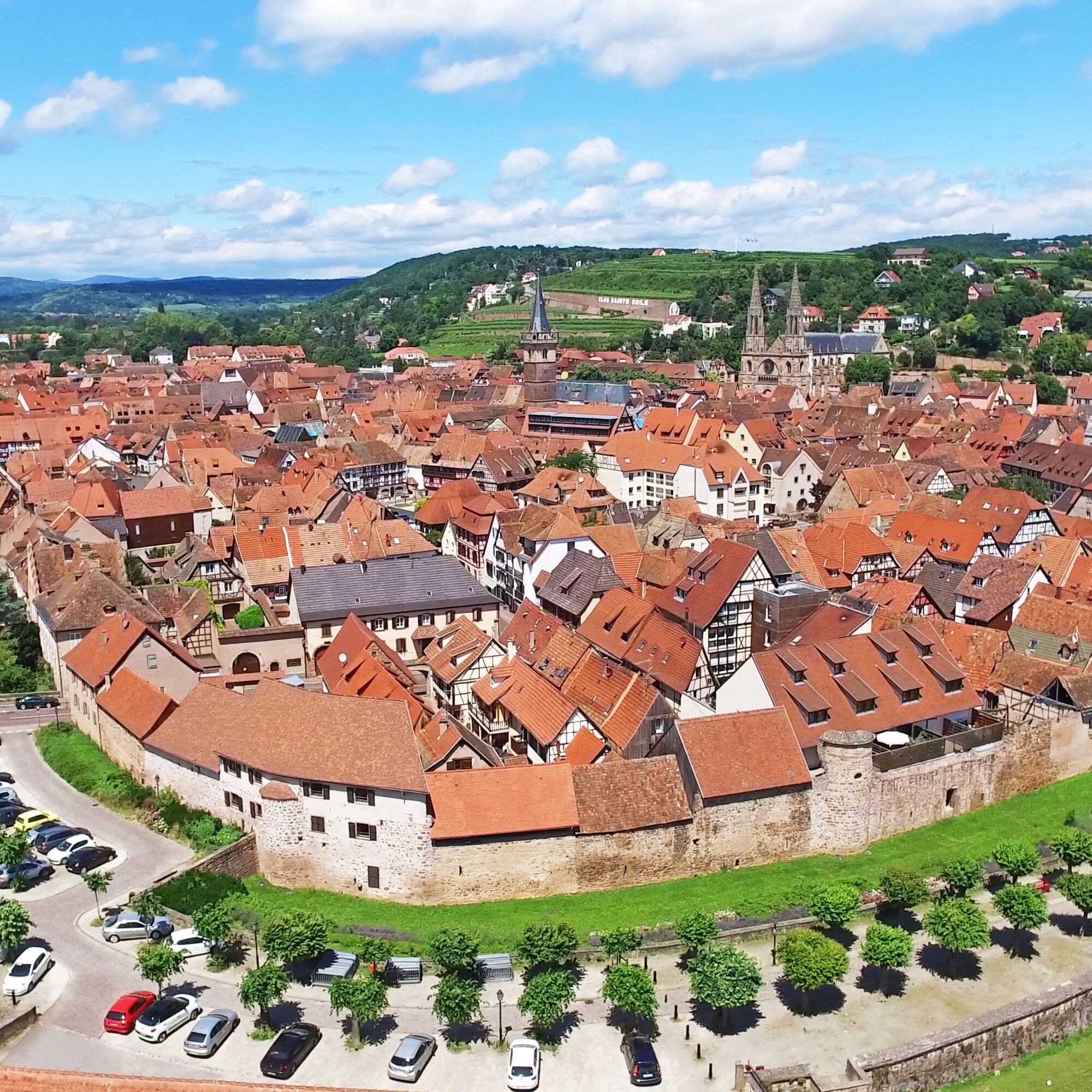
Then pick up the greenway "Portes Bonheur, the quarry path" and go as far as the former Boersch station.
Continue on the greenway to the crossroads indicating the cycle route to Obernai.
Arriving in Obernai, take Boersch Road towards the town center.
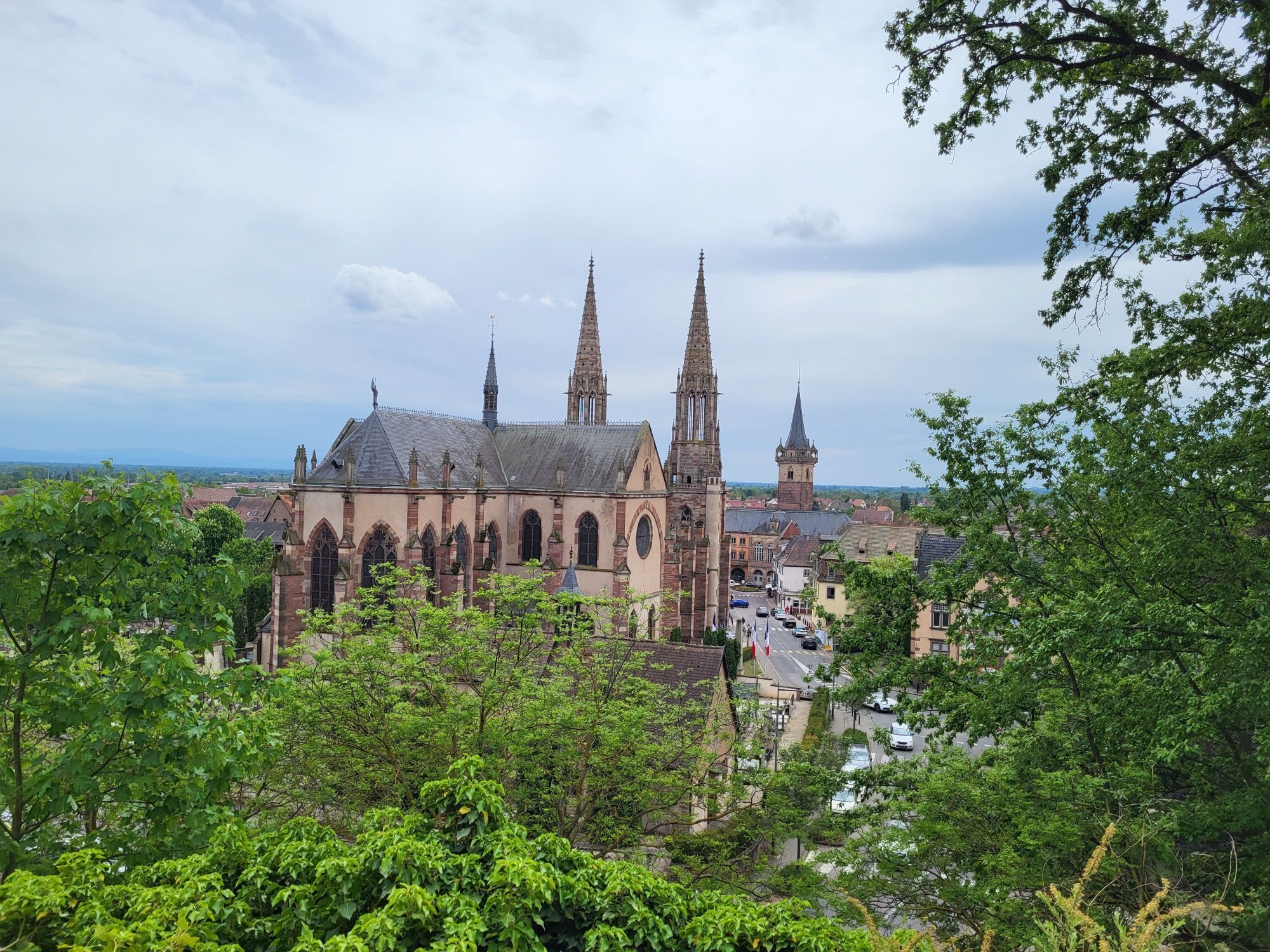
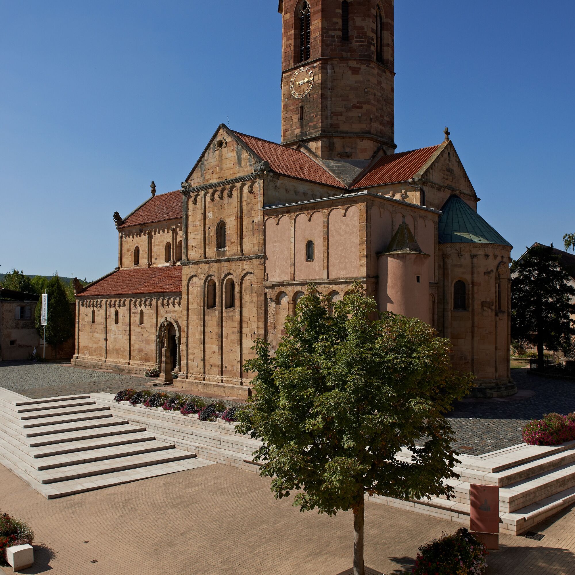
Arriving in front of the Sts-Pierre-et-Paul church, take a right at the roundabout towards the town center.
Take General Gouraud street passing in front of the Place de l'Etoile.
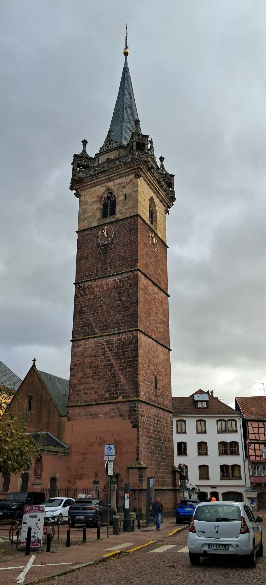
Reach the Tourist Office at the foot of the belfry, then to the right of the belfry, follow Sainte Odile, Dietrich, and then Baegert streets.
Turn right onto Sélestat Street, then before the level crossing take right onto Finhay Street and follow the marked route towards Barr via Goxwiller and Gertwiller.
In Gertwiller, coming out of the vineyards, at the roundabout, take Forst Street. Follow to the right the railway to Barr.
In Barr, turn right onto Degermann Street. At the stop sign, turn left.
After the Town Hall square, at the corner of the Tourist Office, go down opposite into Maréchaux Street.
Turn left onto Kirneck Street.
In front of the Savings Bank, turn right, then take the first left towards the school campus.
After Carrefour Contact, turn right onto Degermann Street, then go under the railway bridge.
At the end of the long straight, turn left onto Barr Street.
Take the first right (Rue du Buhl), then left.
At the end of Valff Street at the Piedmont Soap Factory, take the Lurtz path straight ahead, then the second right.
After the bridge over the motorway, turn left, then the first right.
At the entrance of Bourgheim village, follow the signs to Valff.
Then follow marked bike route no. 13 back to Strasbourg, passing through Valff, Niedernai, Meistratzheim, Innenheim, then Blaesheim and Geispolsheim.
Tak
Equipment
Before leaving:
- Make sure the bike is in perfect mechanical condition, including tires and brakes
- Ensure the bike is properly adjusted to your body shape
- Wearing a helmet is strongly recommended
- Bring a repair kit
- Remember that the Highway Code applies to cyclists under all circumstances
- Never ride more than two abreast and move into a single file when traffic circumstances require it
- Respect other users as you would like to be respected- Choose a route suited to your physical abilities
- Inform those around you of your itinerary
- Check the weather conditions
- A first aid kit is not essential but can be very useful
- Inform yourself and keep the emergency phone numbers.
- Respect the environment by not throwing food packaging on the roadside
- If you must return at dusk, make sure you can see and be seen
Wearing a helmet is not mandatory in France, but strongly recommended for your safety.
The proposed routes have been designed to be as safe as possible. It is up to cyclists to respect traffic signs and the Highway Code.
For a departure from Barr: take exit 12 on the A35 motorway, direction Barr
The circuit is accessible by train:
- Strasbourg station (500 m from the circuit)
- Rosheim station (100 m)
- Obernai station (200 m)
- Goxwiller station (30 m)
- Gertwiller station (10 m)
- Barr station (500 m)
Barr: Folie Marco car park
Popularne wycieczki w okolicy
-
4,0
Cross-border bike route: Offenburg (DE) - Molsheim
średniJazda na rowerze 53,9 km -
Bike Route "Parks and Gardens"
średniJazda na rowerze 40,8 km -
Bike loop "Mont Sainte-Odile from Obernai"
ciężkiJazda na rowerze 27,7 km -
S. Odile - Rundweg
światłoWędrówka 10,6 km -
Bicycle Circuit "Rosheim - Obernai via the Portes Bonheur"
światłoJazda na rowerze 21,2 km -
5,0
Hiking to Landsberg Castle
średniWędrówka 8,88 km -
Local Alsace à Vélo loop BL214 "Klevener and gingerbread"
światłoJazda na rowerze 30,2 km -
"Vineyard and Mountain" cycling loop
ciężkiJazda na rowerze 50,0 km -
Bike route “Cabbages and Vines”
światłoJazda na rowerze 28,1 km -
Bike circuit "Vignoble d'Obernai à Barr"
średniJazda na rowerze 15,1 km
Wędrówki i tropienie


Nie przegap ofert i inspiracji na następne wakacje
Twój adres e-mail została dodana do listy mailingowej.