


Crossing of the Vosges Massif - Stage 03 - Niederbronn-les-Bains - Lichtenberg
At the end of the route is the Lichtenberg castle dating back to the 13th century. Its architecture is typical of fortified castles. It is possible, along with the discovery of the castle, to visit the...
At the end of the route is the Lichtenberg castle dating back to the 13th century. Its architecture is typical of fortified castles. It is possible, along with the discovery of the castle, to visit the Heritage Interpretation Center located within its enclosure.
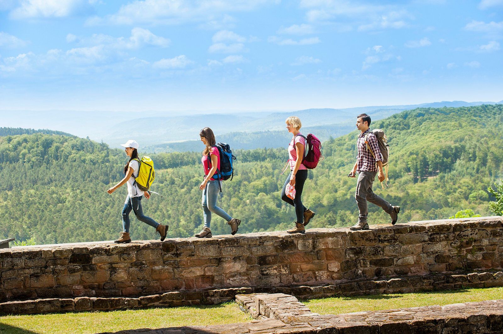
Red rectangle marking of the Club Vosgien. Grande Randonnée GR® 53 route by the French Hiking Federation.
Tak
Clothing suitable for the season and conditions (cold, warm, humid…)
Hiking shoes suitable for the terrain (even for children!)
Hiking poles (useful for stability and to relieve joints)
Mobile phone and spare battery
Before setting out
Check the general and local weather to ensure no precipitation Get information about the approach walk, route height, travel time, possible escape routes (IGN map, GPS, guidebook, etc.) Assess possible risks by consulting mountain professionals, refuges, lodgings Inform a close person of your plan and contact them in case of changes: departure and return times, number of participants with each person's phone number, vehicle(s), parking Avoid going alone, use equipment suited to the activity, adjusted and in good condition, headlamp, complete first aid kit, survival blanket, etc.In case of problems
Alert: call 112 (European emergency number)
5 key points to communicate your alert:
Where? municipality, place, route, altitude Who? identity, phone number What? accident type, number of victims, severity, fall dynamics When? accident time Weather? wind, visibilityJoin Niederbronn-les-Bains from Strasbourg and Haguenau via the D1062.
www.fluo.eu
Parking available on Avenue de la Libération.
tourisme.hanau-lapetitepierre.alsace
It is advisable to book accommodations in advance of the hike during the high season.
Popularne wycieczki w okolicy
- 4,8
Wasigenstein und Zigeunerfelsen von Obersteinbach
Wędrówka 10,6 km - 4,5
Ascent of the Grand Wintersberg
średniWędrówka 13,0 km Sentier d'excellence 1: Around Ramstein Castle
średniWędrówka 7,28 kmHiking route to the castles of Windstein
ciężkiWędrówka 20,6 kmCrossing of the Vosges Massif - Stage 04 - Lichtenberg - La Petite Pierre
średnidługodystansowy szlak pieszy 16,9 kmExcellence trail 3: Around the castles of Waldeck and Falkenstein
średniWędrówka 13,2 kmCrossing of the Vosges Mountains - Stage 02 - Obersteinbach - Niederbronn-les-Bains
średnidługodystansowy szlak pieszy 18,9 kmIn the footsteps of the glassmakers - Lalique and Meisenthal
ciężkiWędrówka 18,0 km3 dni na szlaku zamków warownych północnych Wogezów
ciężkidługodystansowy szlak pieszy 67,1 kmHiking route to the castles of Schoeneck and Wineck
światłoWędrówka 5,06 km
Wędrówki i tropienie


Nie przegap ofert i inspiracji na następne wakacje
Twój adres e-mail została dodana do listy mailingowej.