


From the Alsace Wine Route to the Baden Wine Route
Zdjęcia naszych użytkowników
-
 © Karin FeyUtworzono dnia 12.07.2025
 -
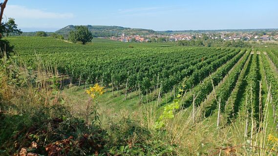
 © Hapepo TsopUtworzono dnia 22.10.2023
 -

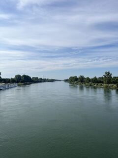
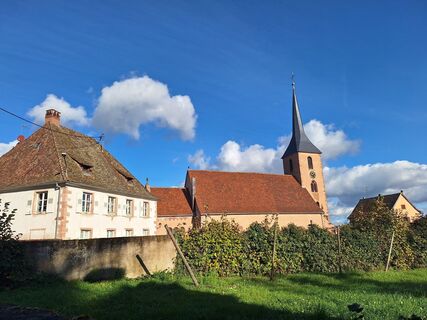
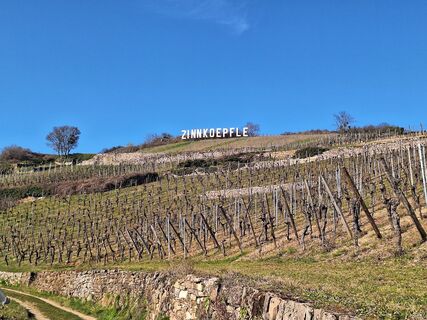
 © Björn GramppUtworzono dnia 01.03.2023
 -
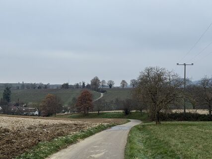
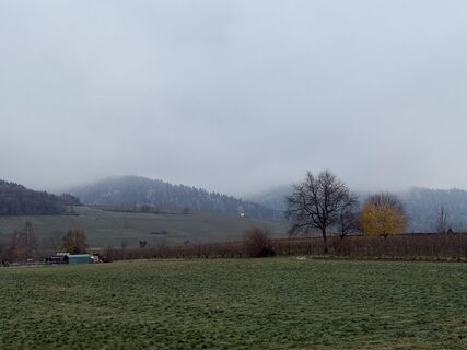
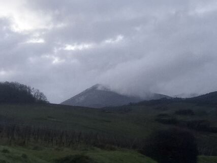
 © InesWUtworzono dnia 22.11.2025
 -
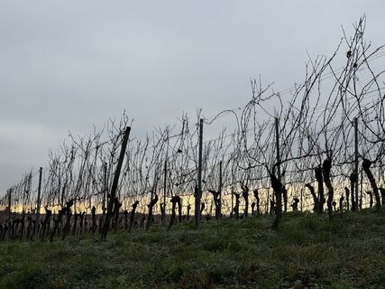
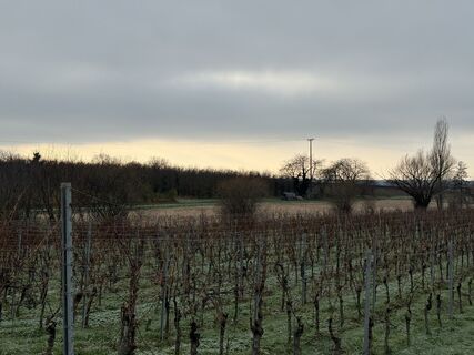
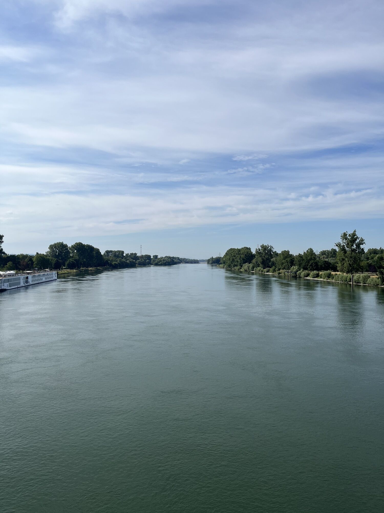
 © InesWUtworzono dnia 22.11.2025
 -
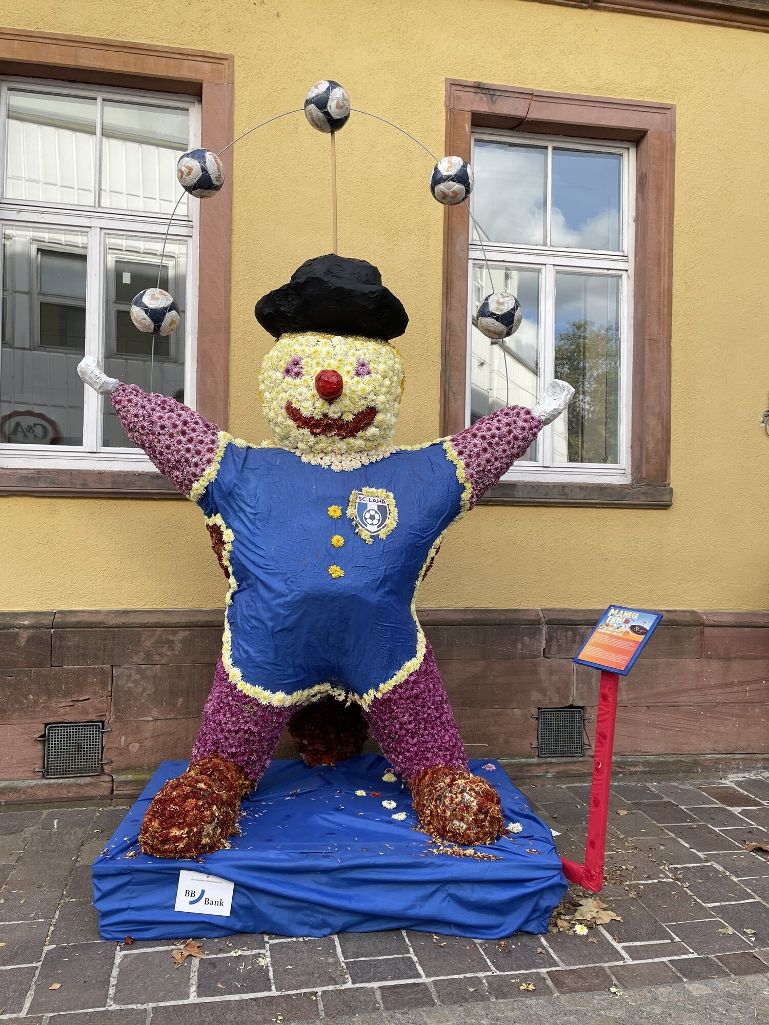
 © InesWUtworzono dnia 22.11.2025
 -
 © InesWUtworzono dnia 22.11.2025
 -
 © InesWUtworzono dnia 22.11.2025
 -
 © KatharinaUtworzono dnia 30.10.2025
 -

 © Mária LovászUtworzono dnia 24.10.2025
 -
 © hausherrUtworzono dnia 17.08.2025
 -
 © KatharinaUtworzono dnia 07.03.2025
 -
 © tomzerUtworzono dnia 07.12.2024
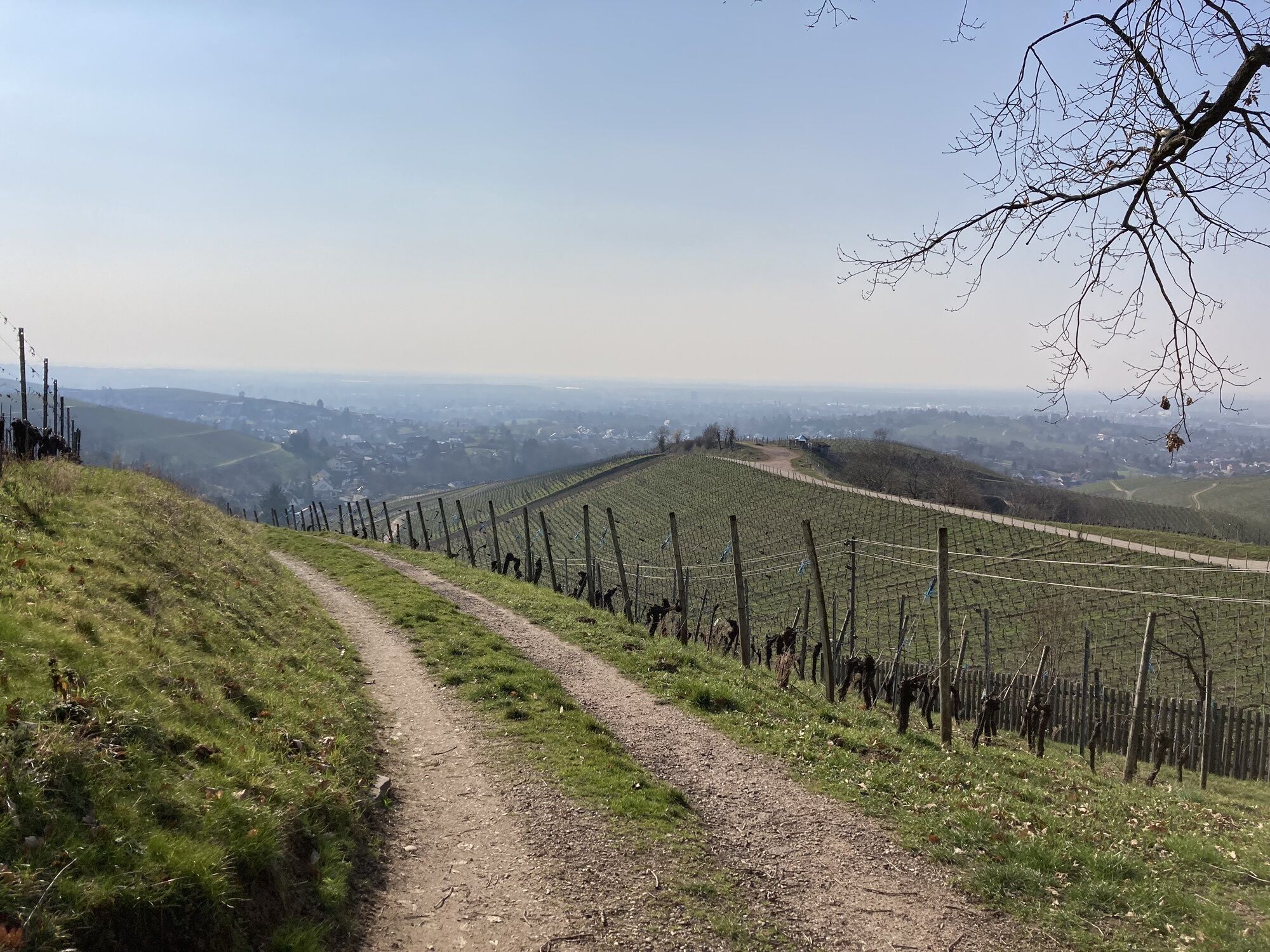


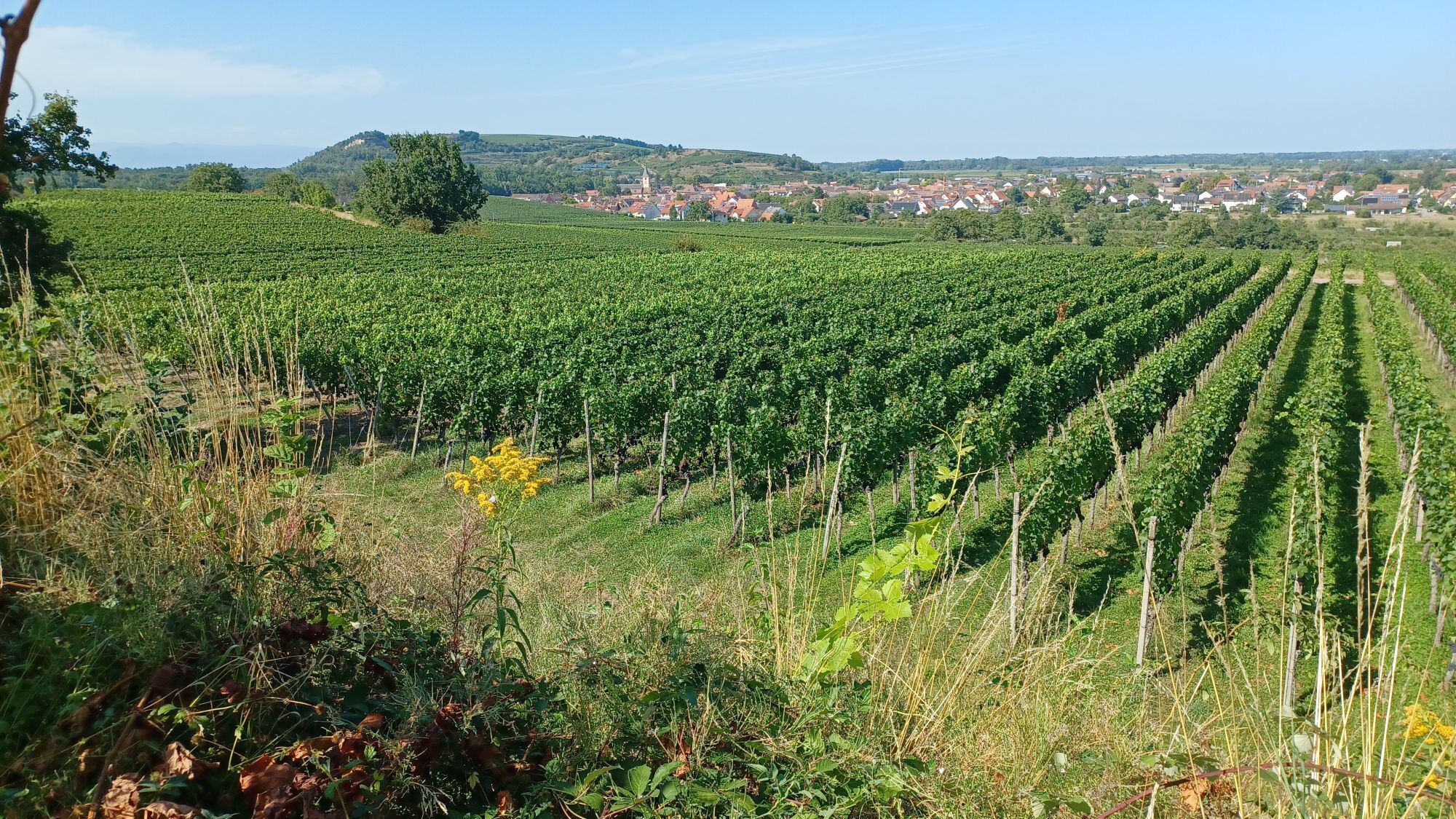
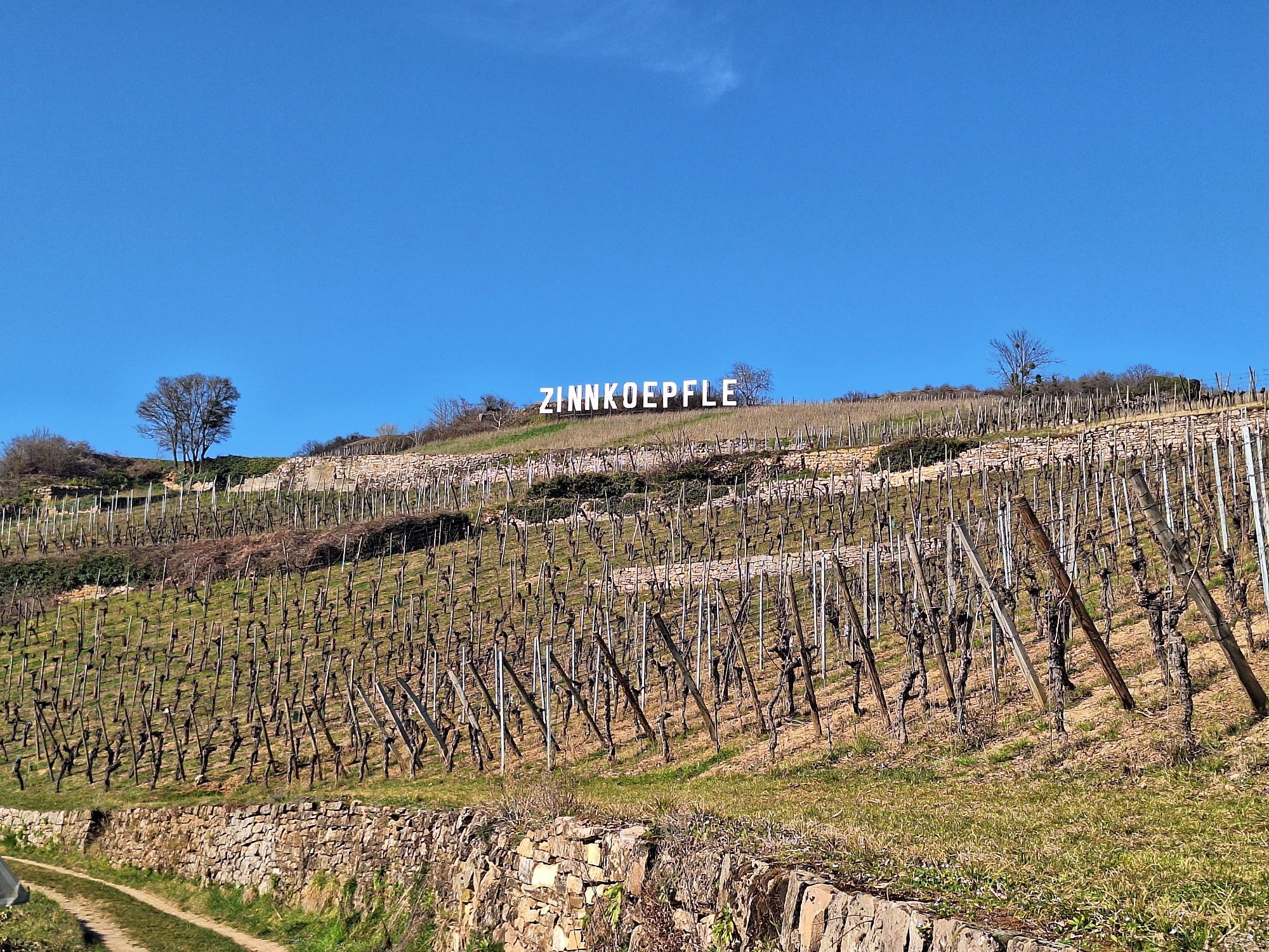
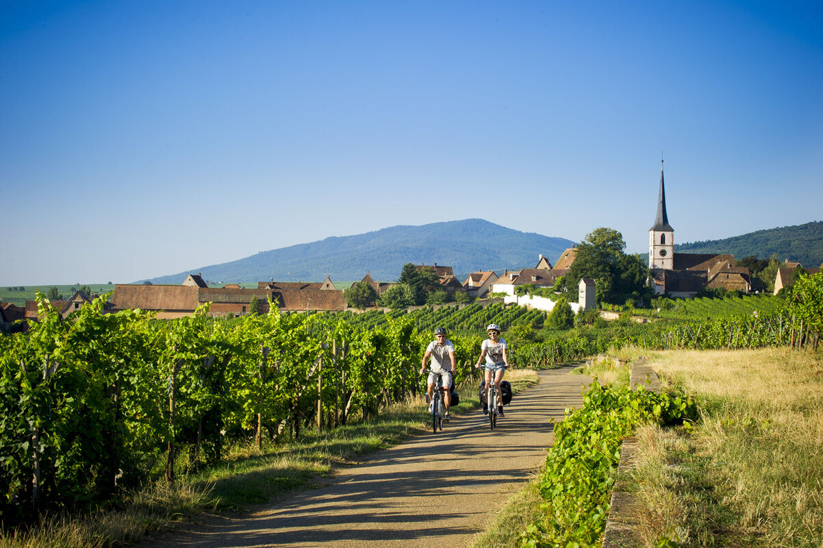
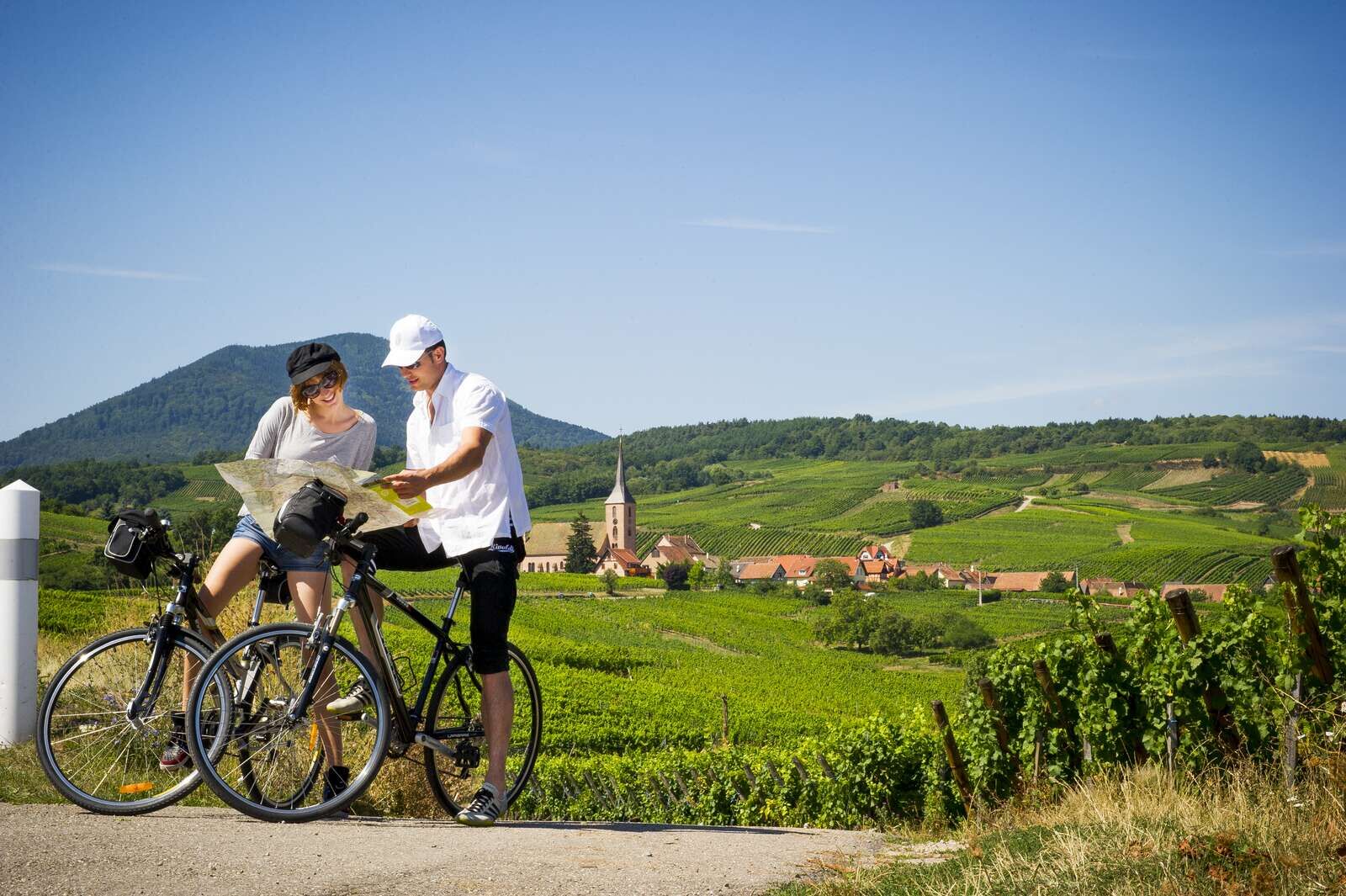
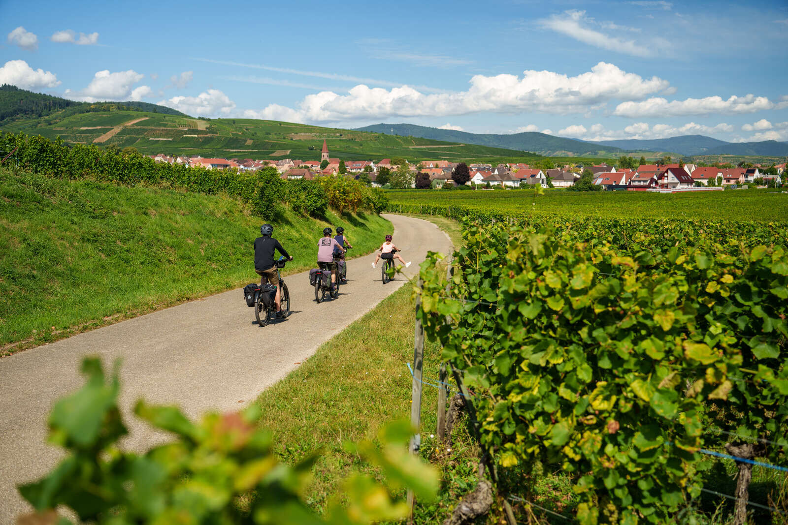
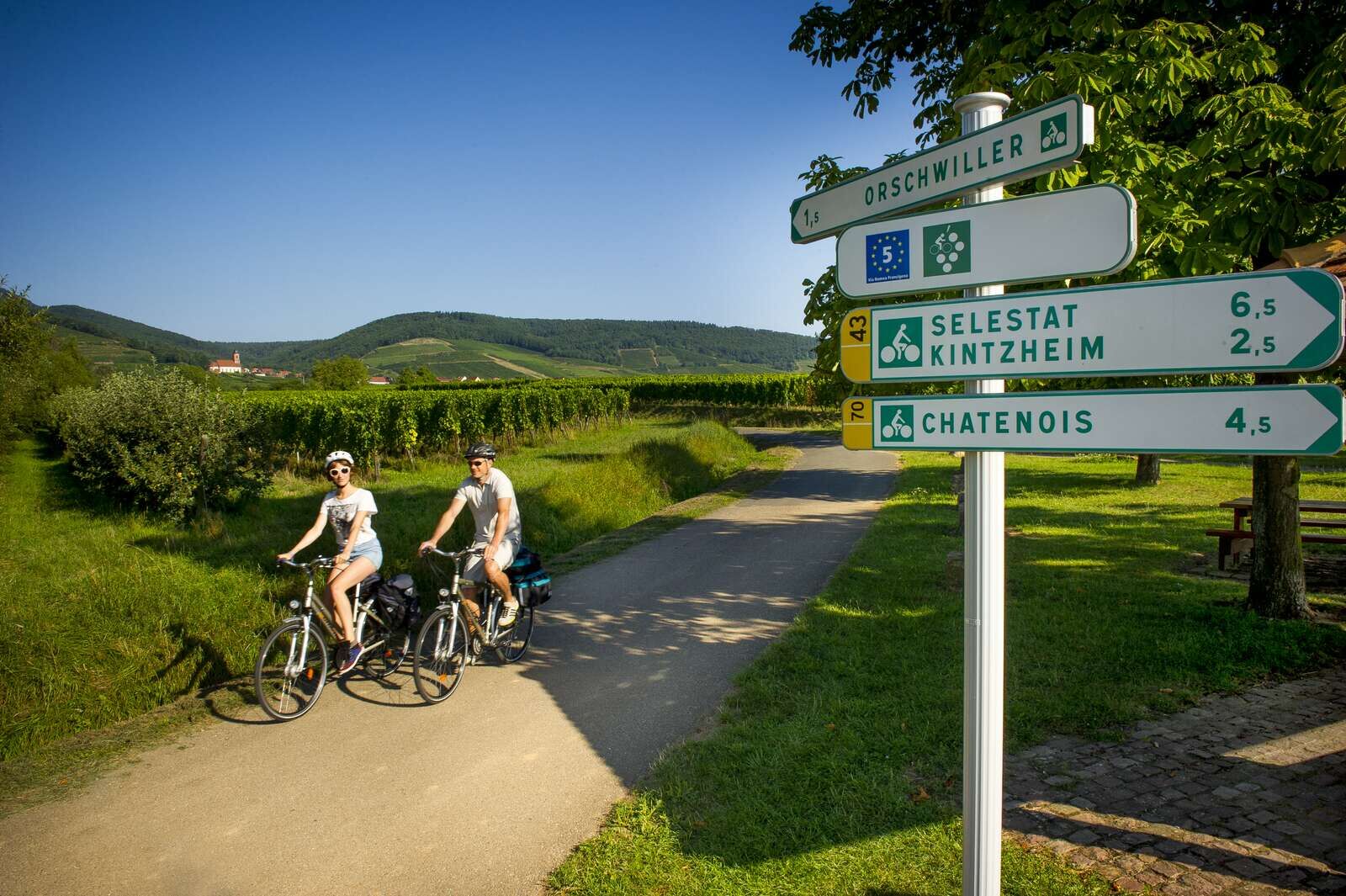
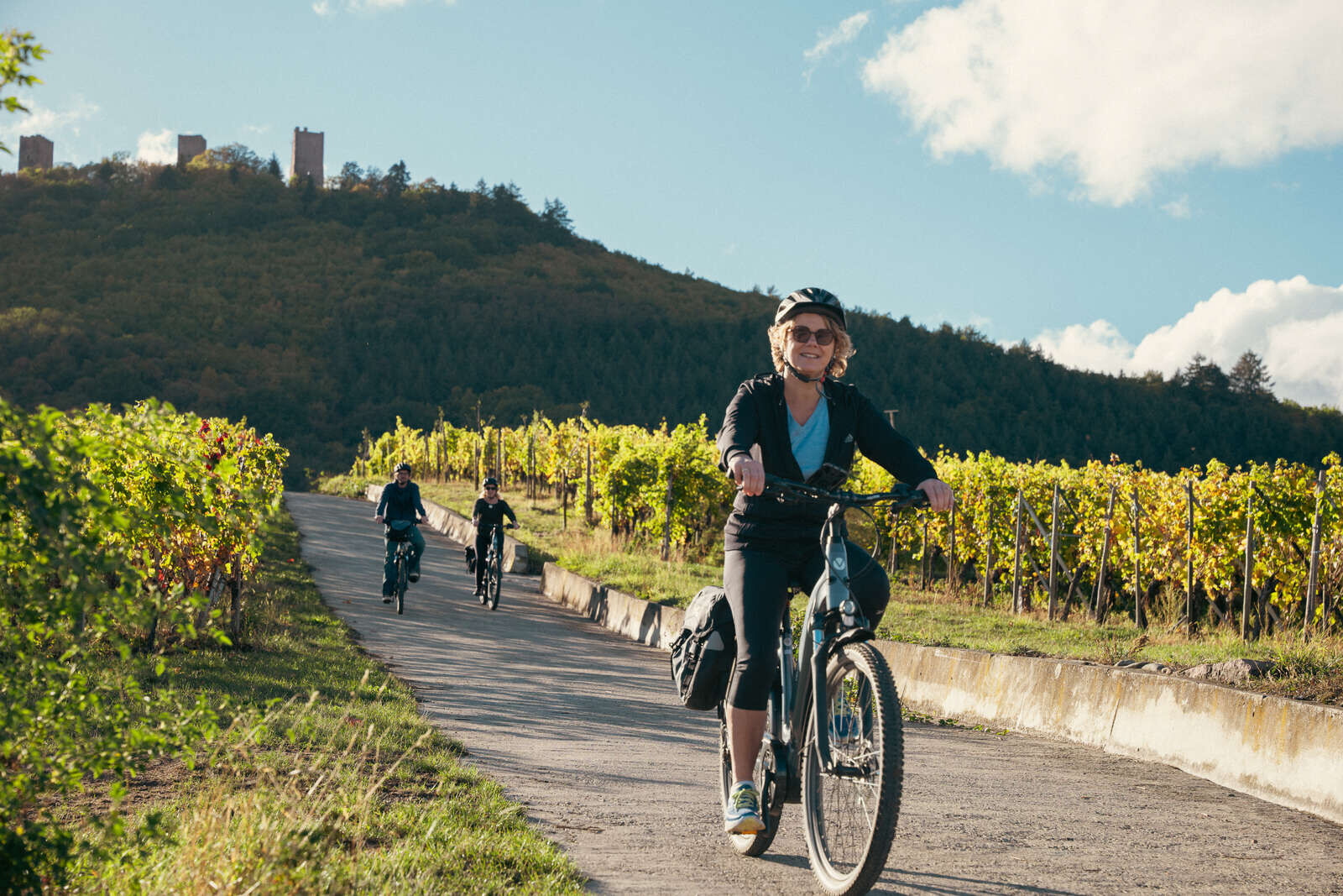
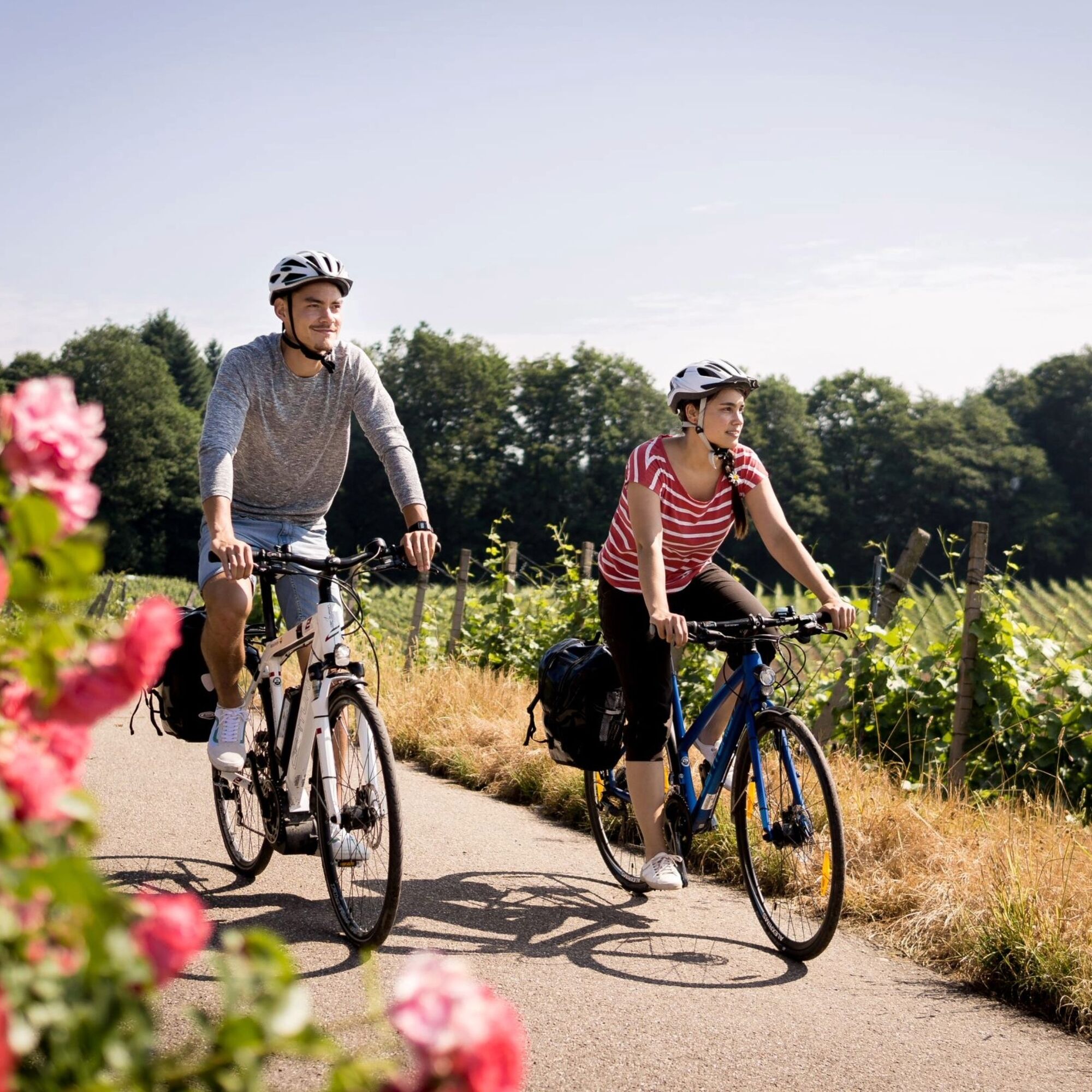
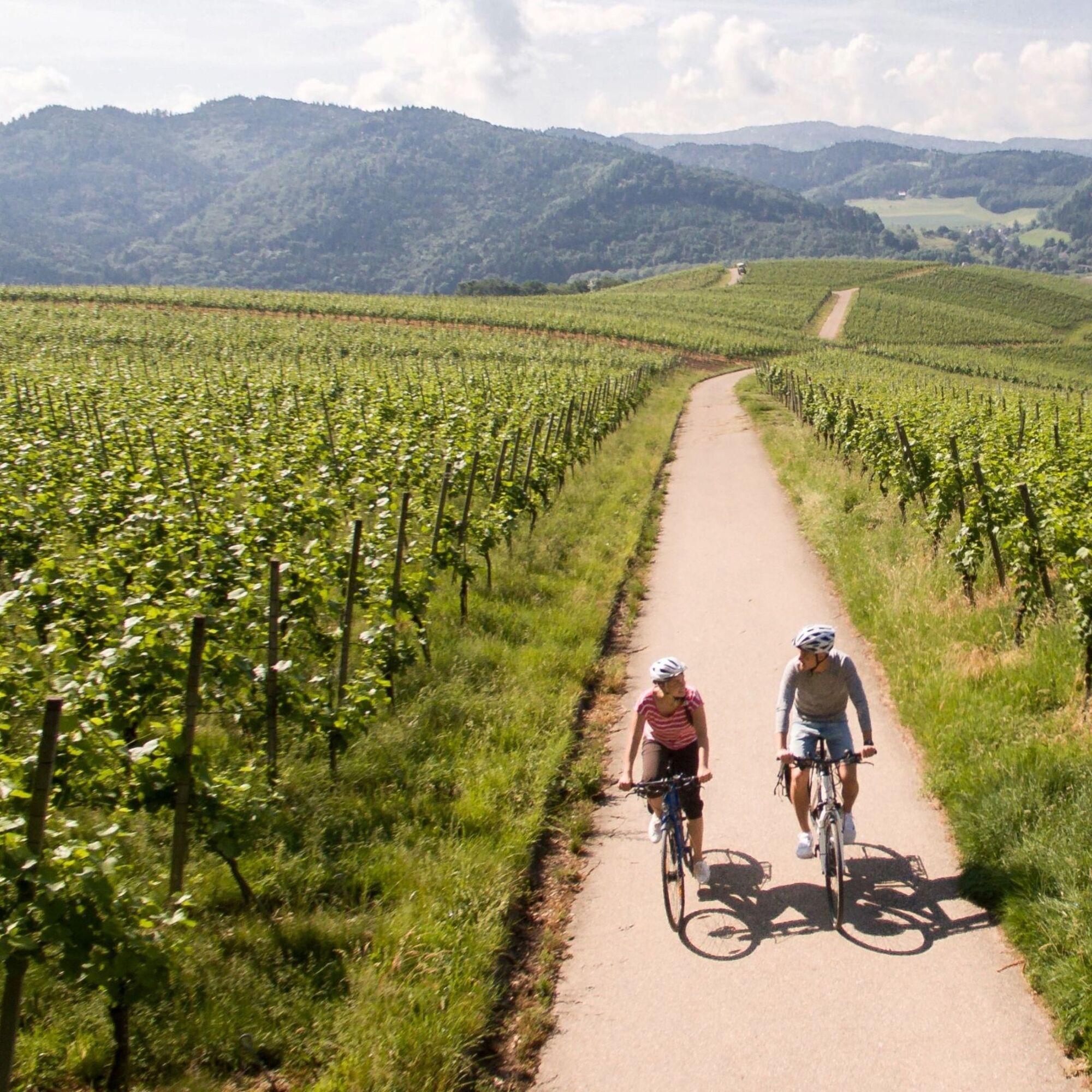
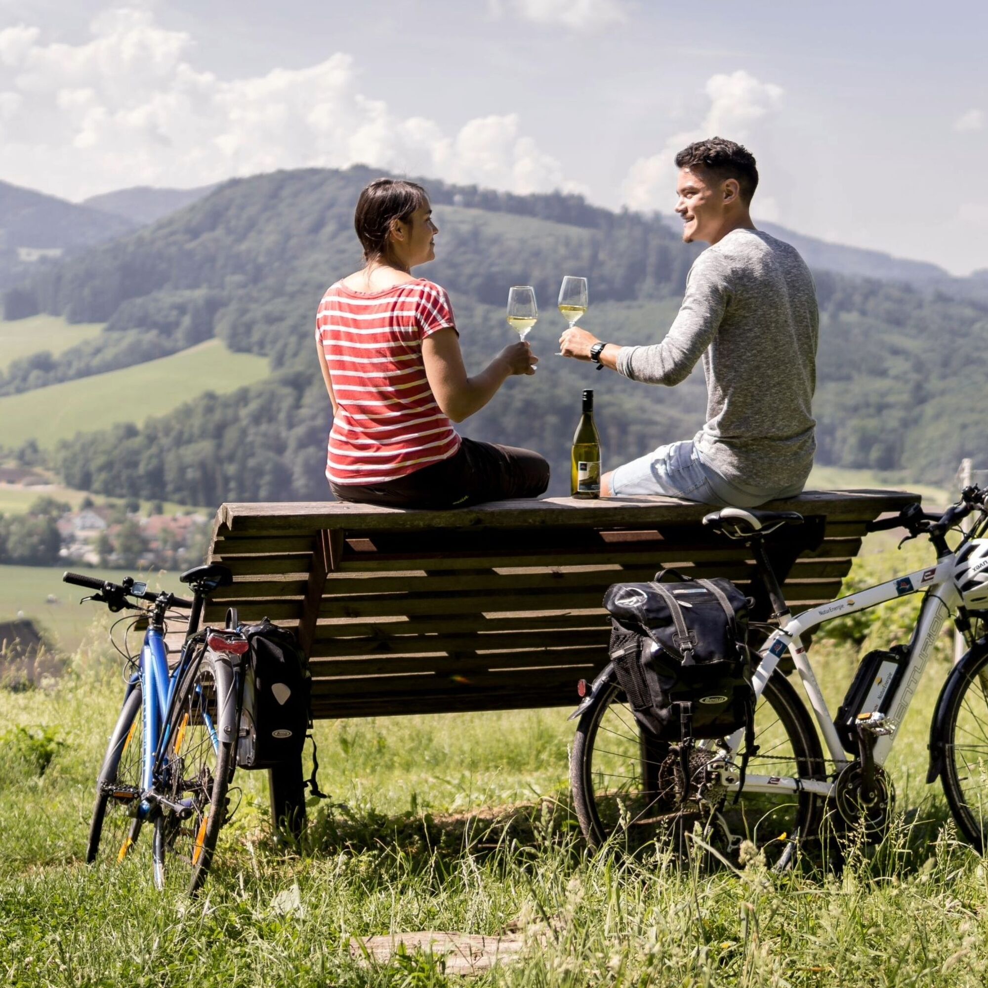
The Alsace Wine Route, this whimsical ribbon running along the eastern slope of the Vosges, crosses about a hundred wine-growing communes and reviews around fifty "A.O.C. Alsace Grand Cru" terroirs. Running...
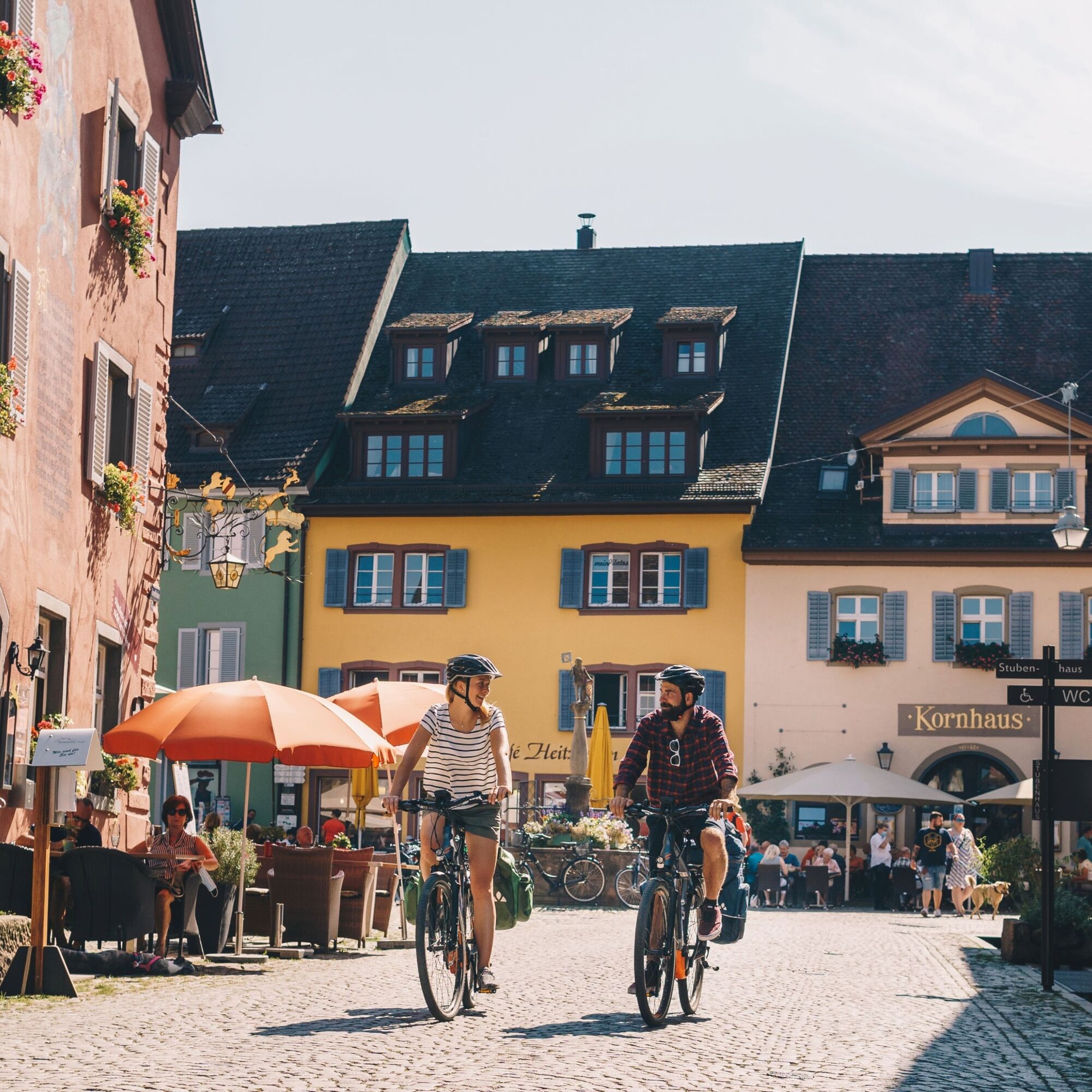
The Alsace Wine Route, this whimsical ribbon running along the eastern slope of the Vosges, crosses about a hundred wine-growing communes and reviews around fifty "A.O.C. Alsace Grand Cru" terroirs. Running parallel, the Vineyard Cycle Route follows old railway lines, parts of the old Roman road, and numerous paths through the vines. It crosses a postcard landscape: medieval castle ruins, flowered villages, Romanesque abbeys, rolling vineyards, welcoming winstubs...
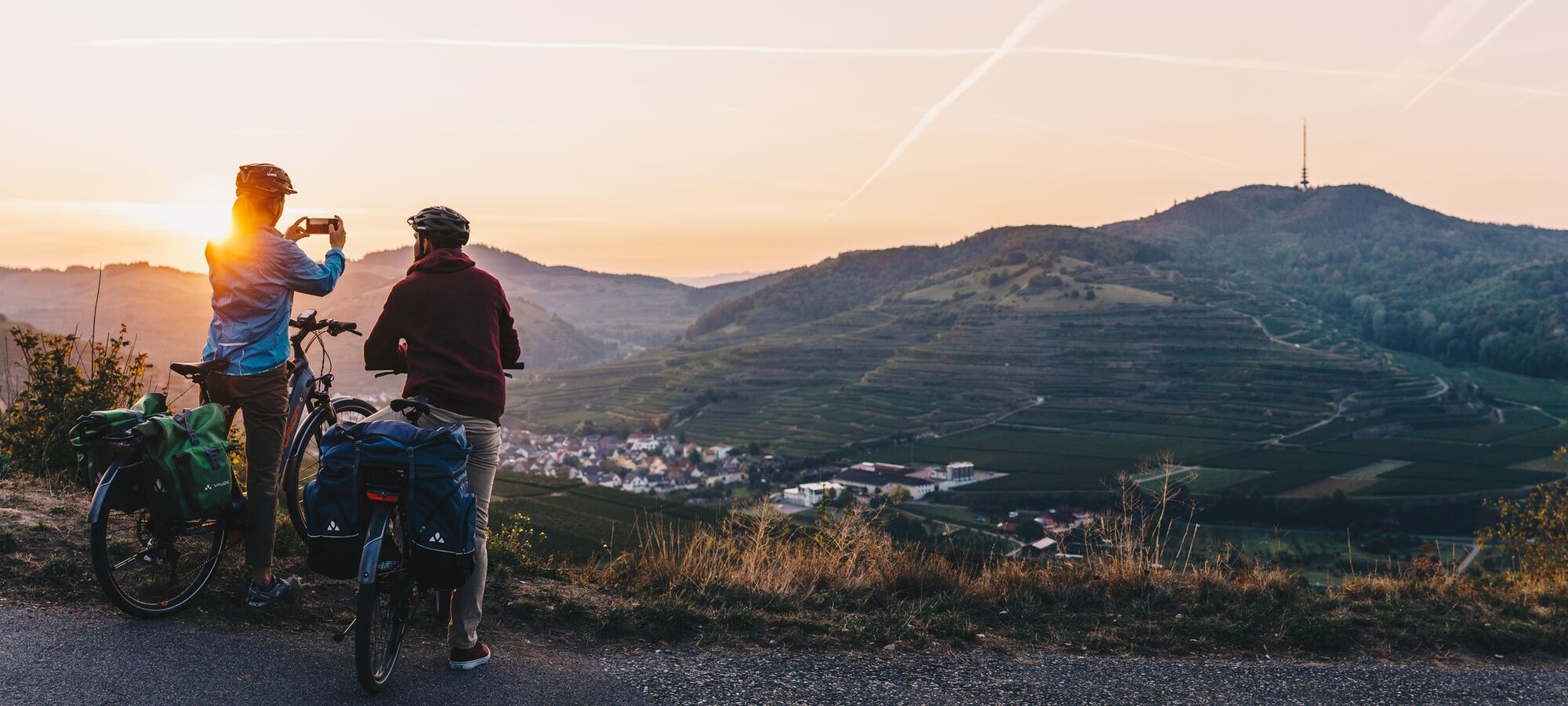
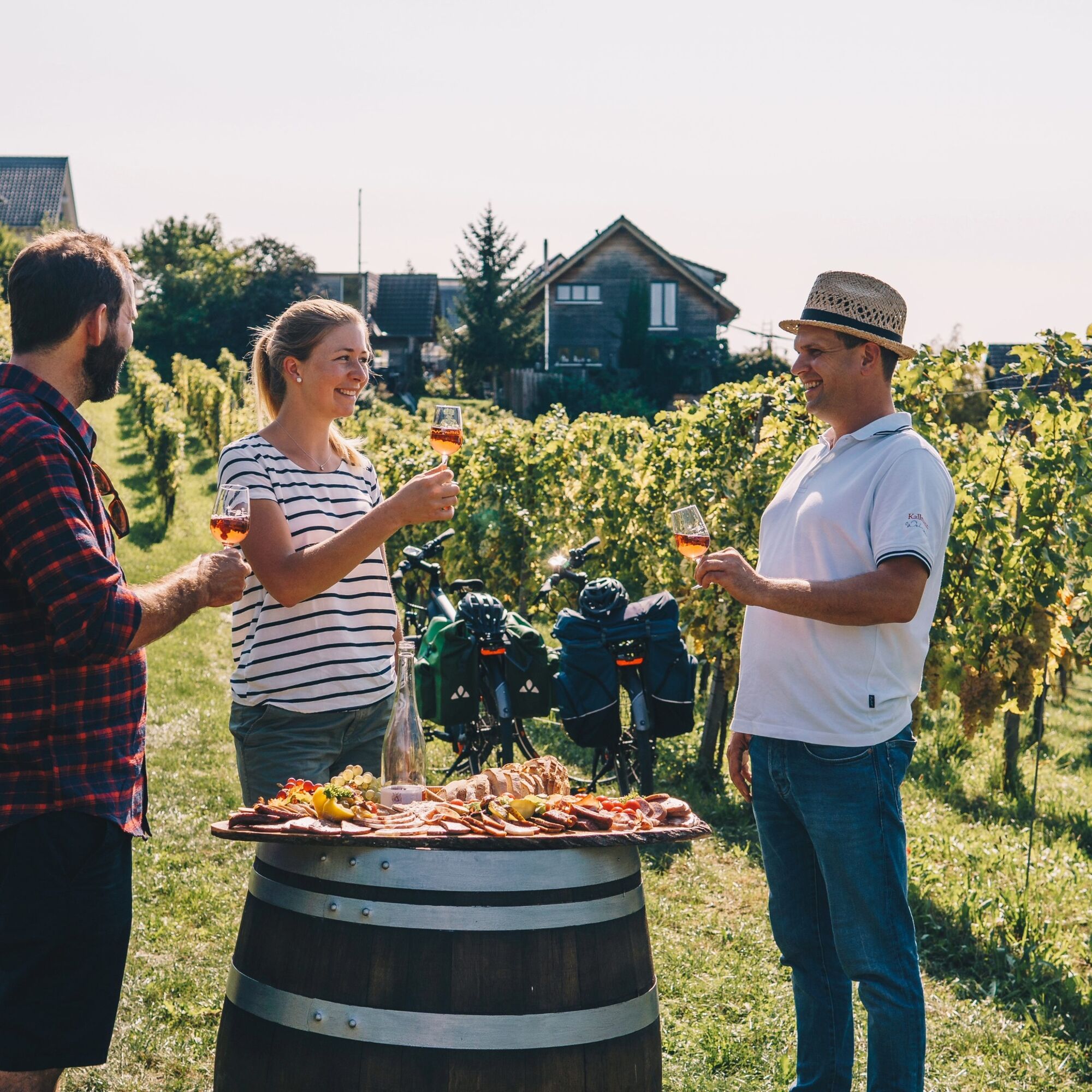
On the German side, the route follows a section of the Baden Wine Cycle Route linking the famous wine-growing regions of Markgräflerland, Kaiserstuhl, Tuniberg, Breisgau, and Ortenau. This route charms with the beauty of its landscapes and offers spectacular panoramic views of the vineyards at every turn. It crosses charming wine villages and passes many wineries and cooperatives where it is pleasant to stop and taste and enjoy.
This route symbolically starts on the MIMRAM footbridge linking Strasbourg in France and Kehl in Germany within the pleasant garden of the two banks.
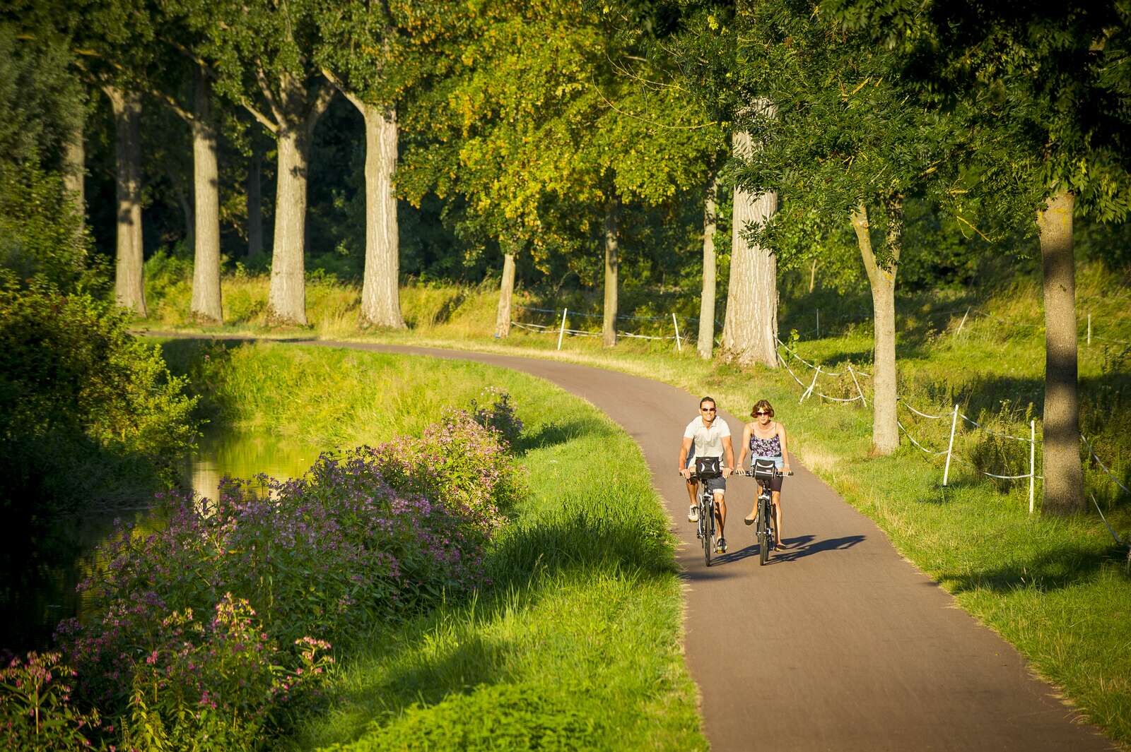
Join the EuroVelo 5 - Via Romea by following the Bruche canal cycle route to Soultz-les-Bains.
You will then ride calmly on the Alsace Vineyard Cycle Route (part of EuroVelo 5) to Cernay except for a slight detour in the Bergheim - Kaysersberg area to fully enjoy the gems of the Alsace vineyard.
You will continue on the EuroVelo 5 to Baldersheim located north of Mulhouse and cross the Potash Basin.
You will then take a section of the Three Countries Bike Route (France - Germany - Switzerland) to Chalampé.
After crossing the Rhine, you will join Mullheim and the Baden Wine Vineyard Cycle Route connecting the Baden wine regions of Markgräflerland, Kaiserstuhl, Tuniberg, Breisgau, and Ortenau.
You will then rejoin Kehl and the start point of the circuit.
To set off on the bike routes safely, we recommend the following equipment:
Touring bike; electric assistance is welcome for more comfort, bike helmet, technical waterproof clothing in case of bad weather, bike bag, to store equipment and provisions, sunglasses, insect protection, smartphone, repair kit, sun protection.Please note that the route uses farm tracks, roads with low motor vehicle traffic, and dedicated cycle paths. The surfaces are mainly asphalted, with some sections on packed earth or white paths.
Cyclist map:
"Alsace à Vélo" bike map
Electric bike rental and bike services:
Alsace:
https://www.alsaceavelo.fr/services/ou-louer-un-velo.html
https://www.alsaceavelo.fr/services/ou-reparer-son-velo.html
Baden:
https://www.schwarzwald-tourismus.info/erleben/radfahren/fahrradverleih
https://www.schwarzwald-tourismus.info/erleben/radfahren/tourenrad-und-e-bike/ladestationen
More info on:
https://www.alsaceavelo.fr/403000009-veloroute-du-vignoble-dalsace/
www.badischer-weinradweg.info
Kamery internetowe z trasy
Popularne wycieczki w okolicy
-
4,0
Romantische Wanderung ab Ihringen
średniWędrówka 11,2 km -
Oberbergen - Katharinenkapelle - Schelinger Höhe - Badberg (Rundweg)
średniWędrówka 10,9 km -
3,0
Lössholwege und Hohlwege in der Eichgasse. Runde ab Achkarren.
średniWędrówka 12,9 km -
Badbergrunde
światłoWędrówka 3,20 km -
Kammwanderung um Vogtsburg im Kaiserstuhl
ciężkiWędrówka 19,2 km -
Rhône to Rhine bike loop, from Neuf-Brisach to Artzenheim
światłoJazda na rowerze 29,4 km -
Kaiserstuhlpfad
ciężkiWędrówka 21,0 km -
Tabakweg Herbolzheim
światłoTrasa tematyczna 1,67 km -
1,0
Chapelle Notre Dame du Chêne
światłoWędrówka 9,25 km -
Bike loop between vineyard and plain
średniJazda na rowerze 40,2 km
Wędrówki i tropienie


Nie przegap ofert i inspiracji na następne wakacje
Twój adres e-mail została dodana do listy mailingowej.