


Karavanke Long-Distance Hiking Trail - 1st Stage: Upper Jezersko-Preddvor
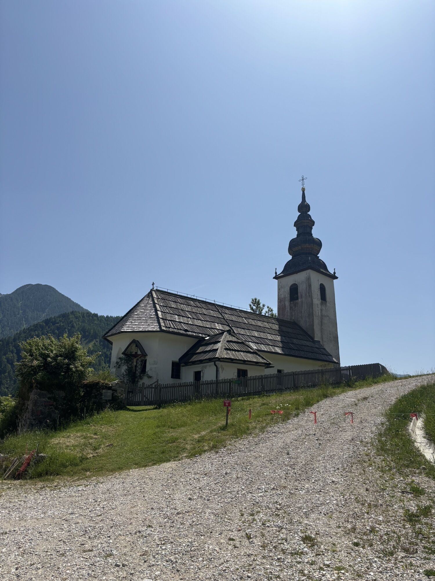
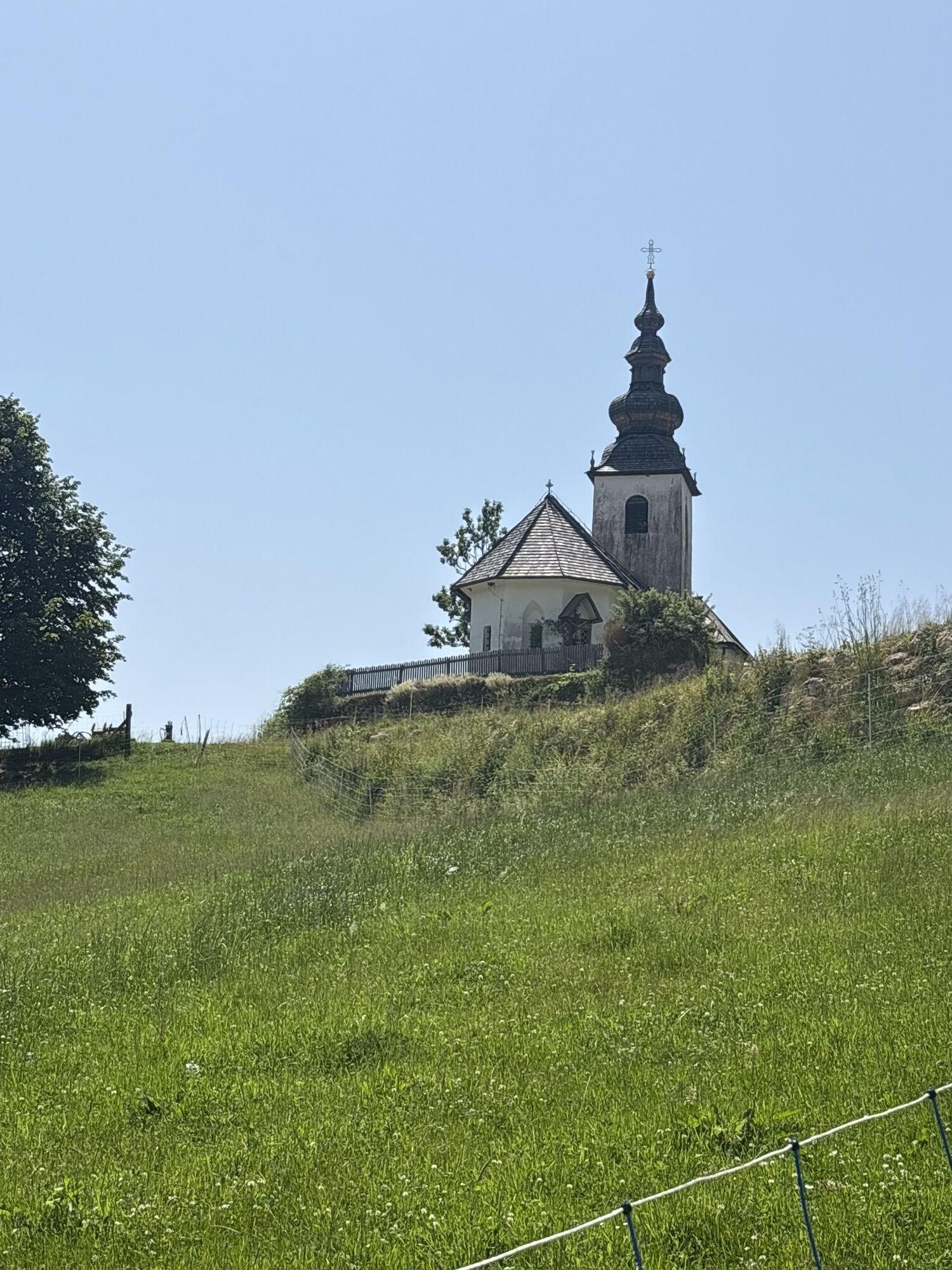
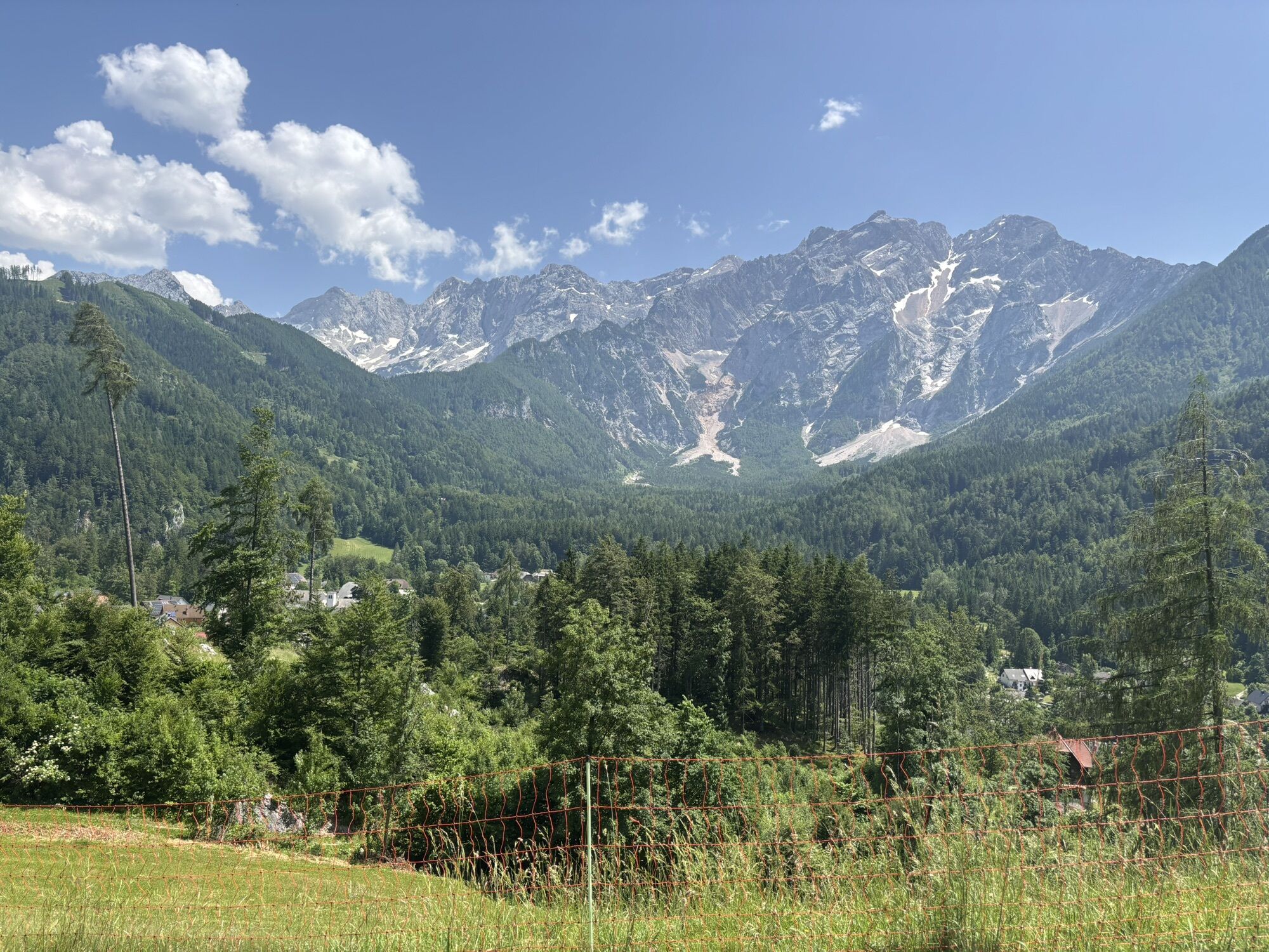
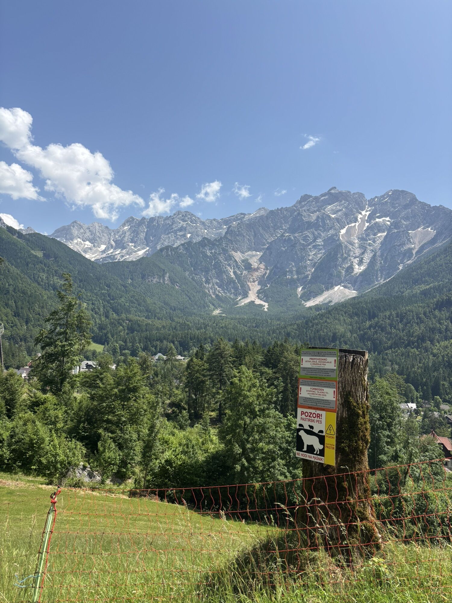
The opening stage of the Karavanke Trail starts at Upper Jezersko, the starting point for hiking routes in the Kamnik-Savinja Alps. The path leads us past the Old Church of St. Oswald, offering views of...
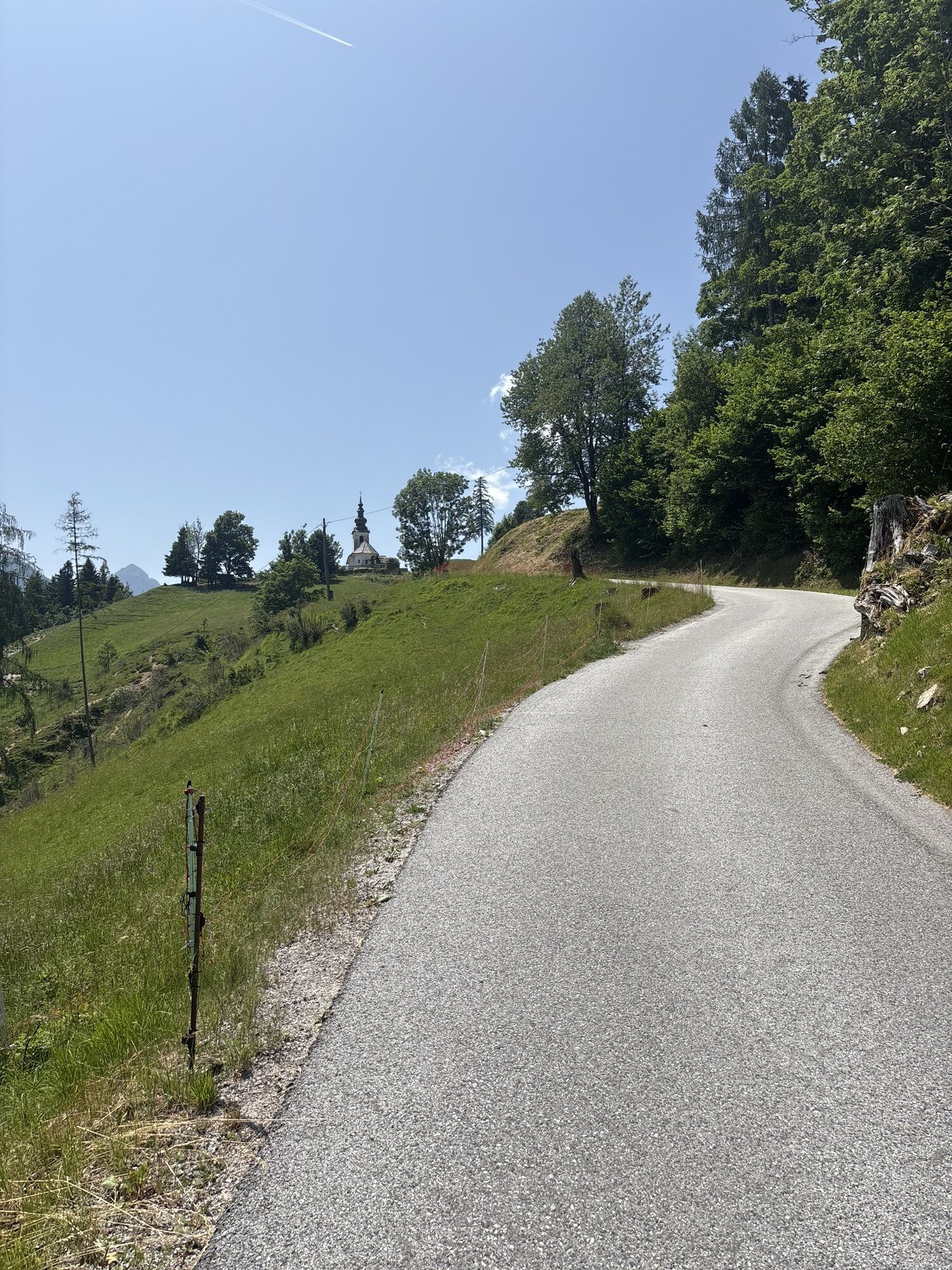
The opening stage of the Karavanke Trail starts at Upper Jezersko, the starting point for hiking routes in the Kamnik-Savinja Alps. The path leads us past the Old Church of St. Oswald, offering views of the Kamnik-Savinja Alps. It continues along the right bank of the Kokra River, and later above the valleys and eastern foothills of StoržiÄ to Bašeljsko Saddle. From the saddle we descend through HudiÄev Boršt on scenic paths to Preddvor.
The route represents the 1st stage of the Karavanke Long-Distance Hiking Trail, which runs a total of 143 km from Jezersko to Kranjska Gora.
Information about available accommodation and local offerings at the stage start in Jezersko is available at: https://www.jezersko.info/nastanitve.html and https://www.jezersko.info/lokalna-ponudba.html

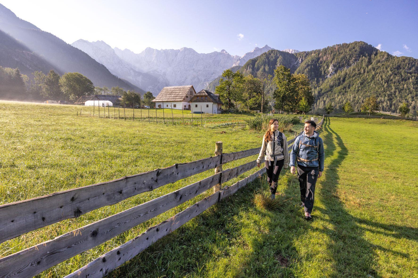
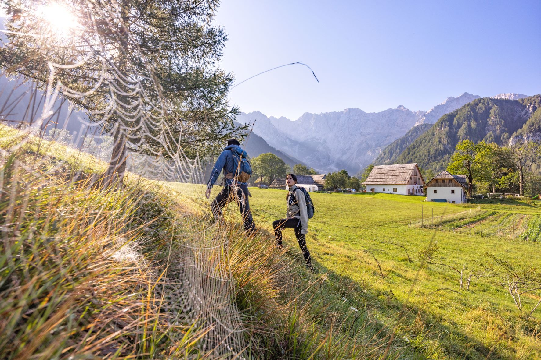
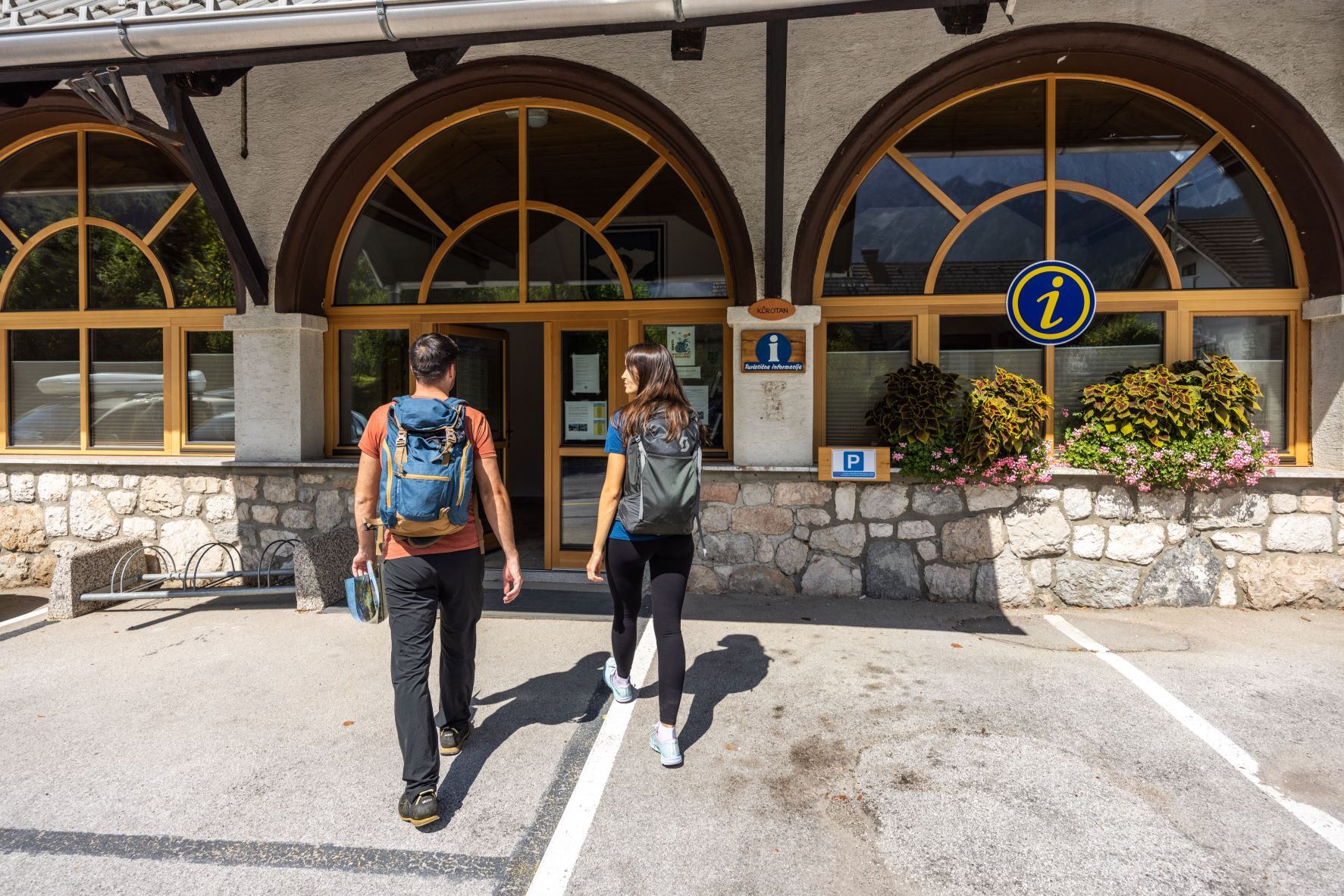
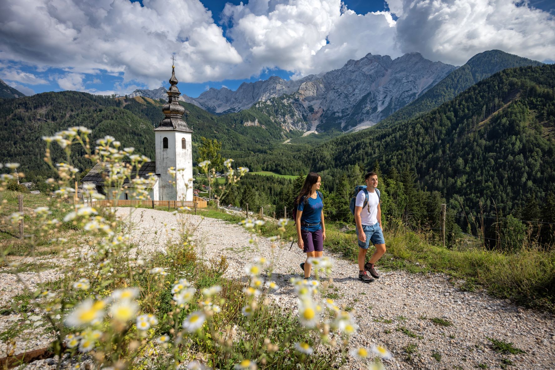
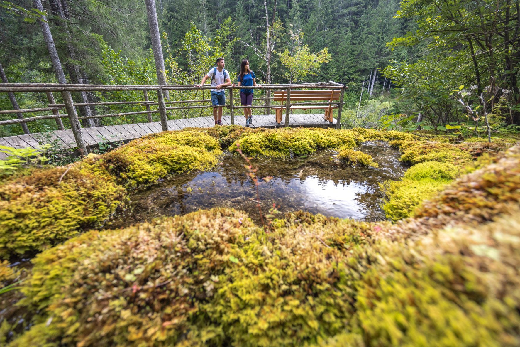
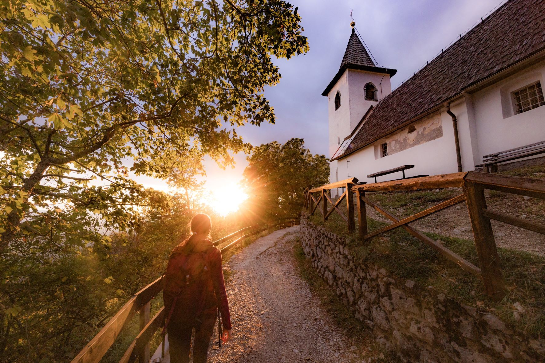
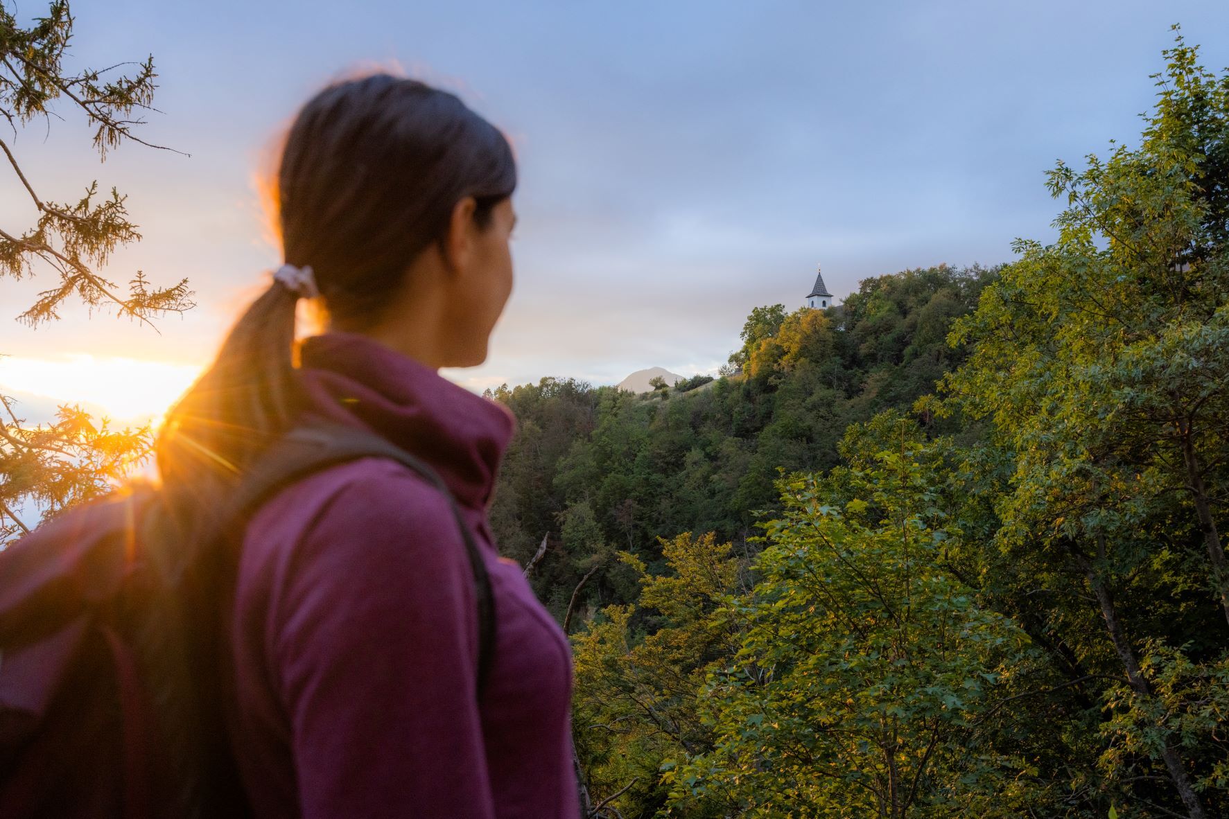
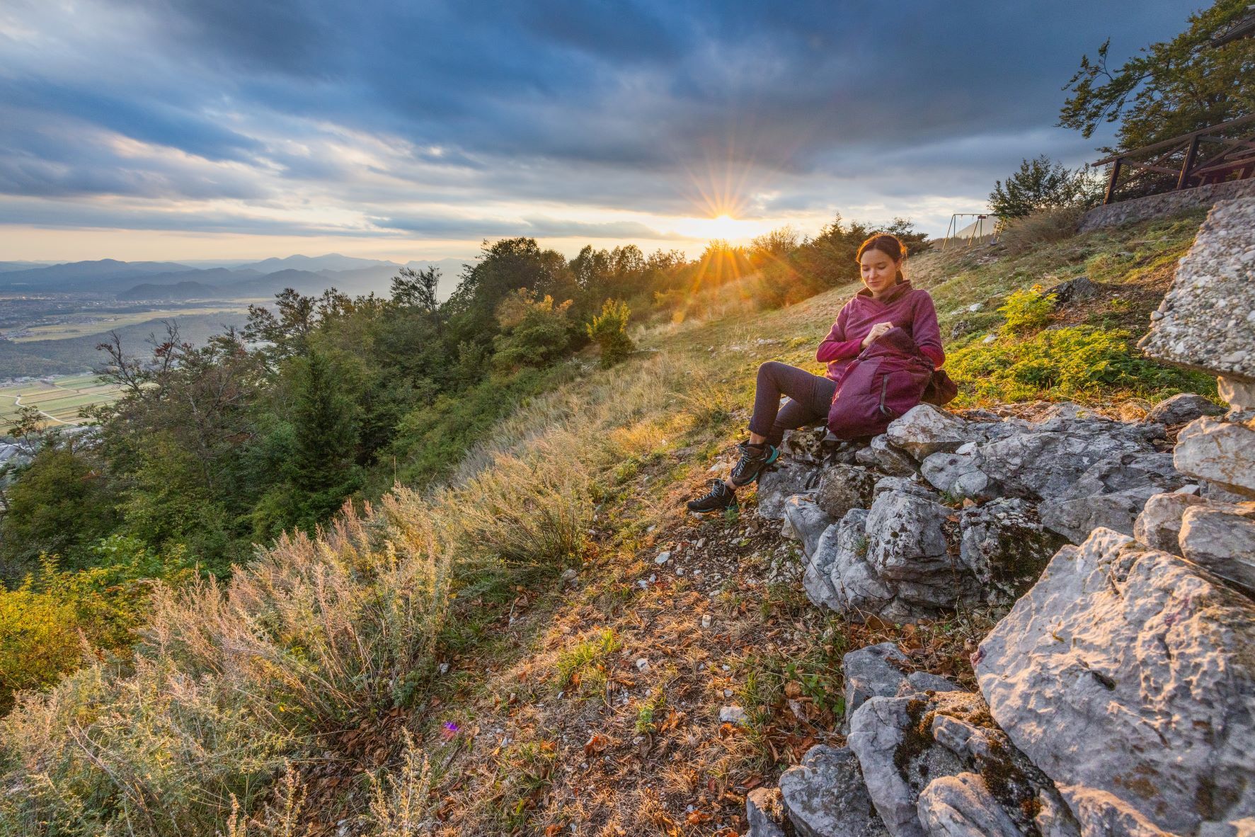
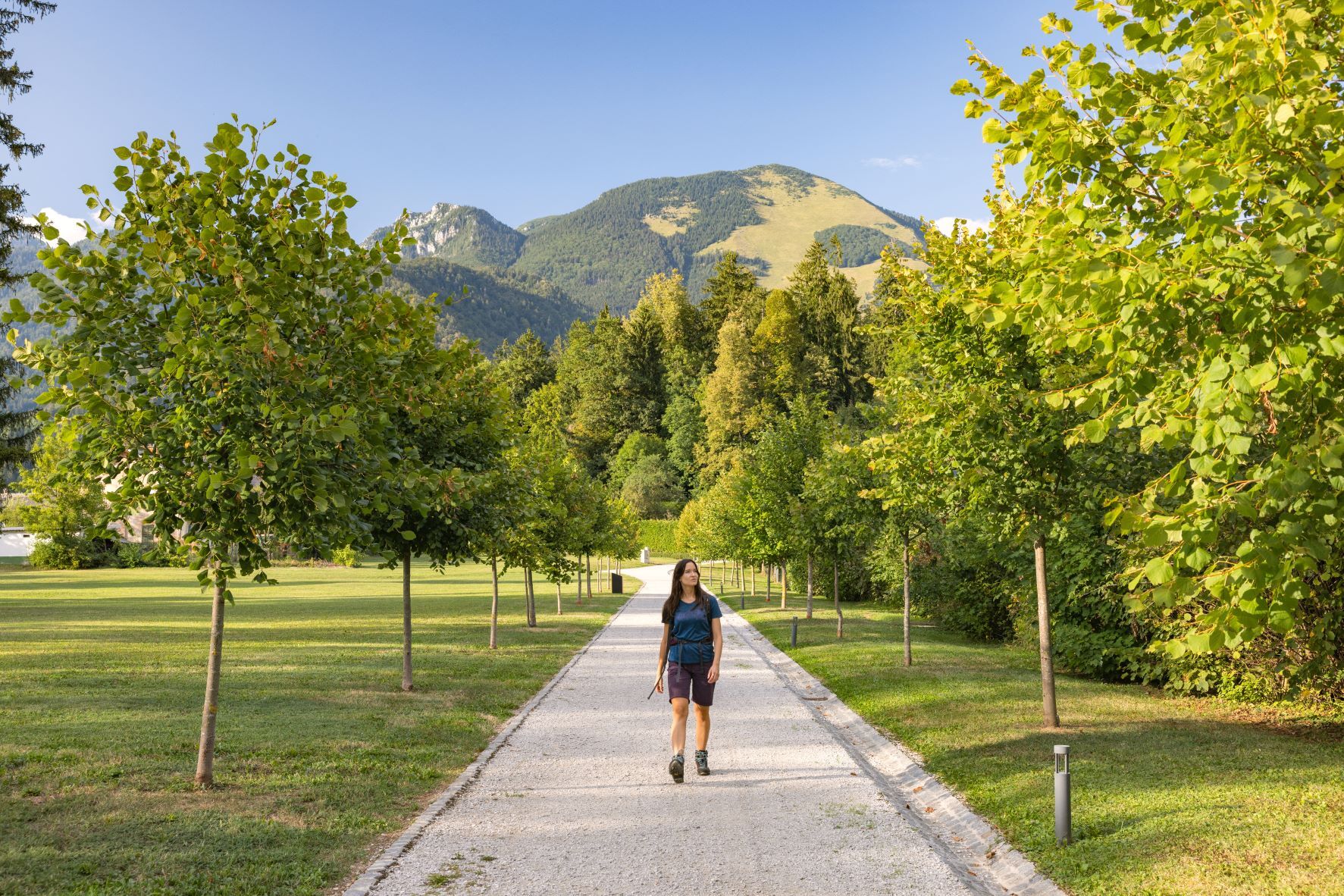
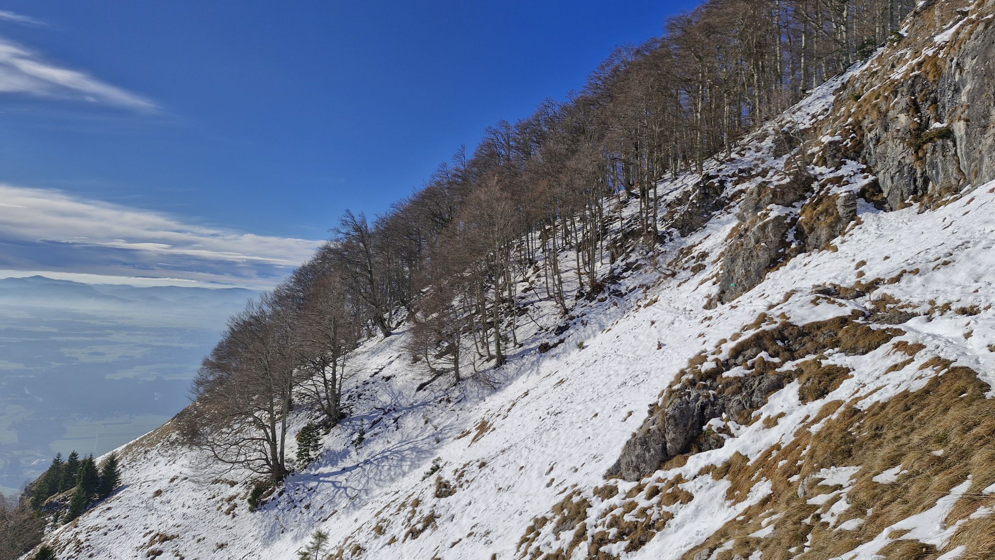
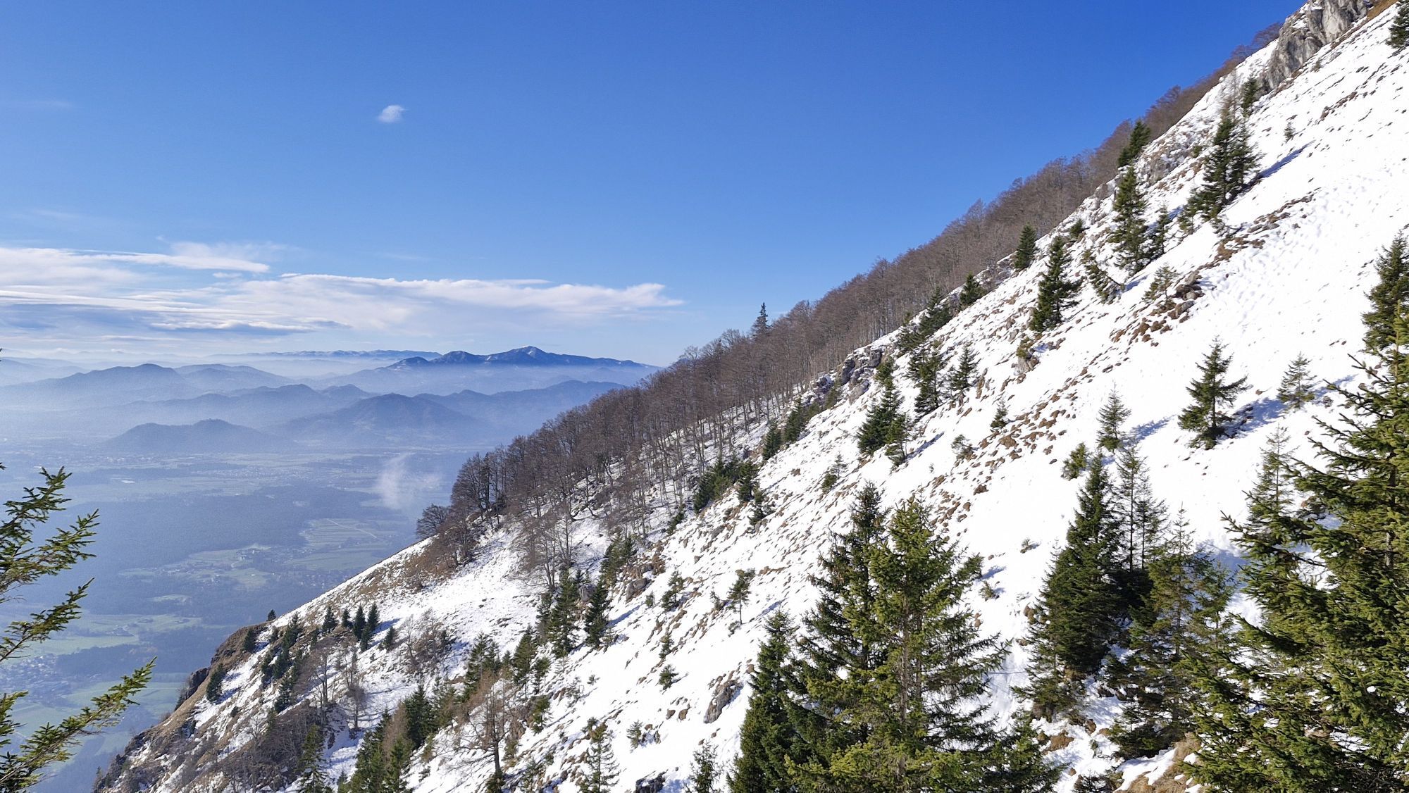
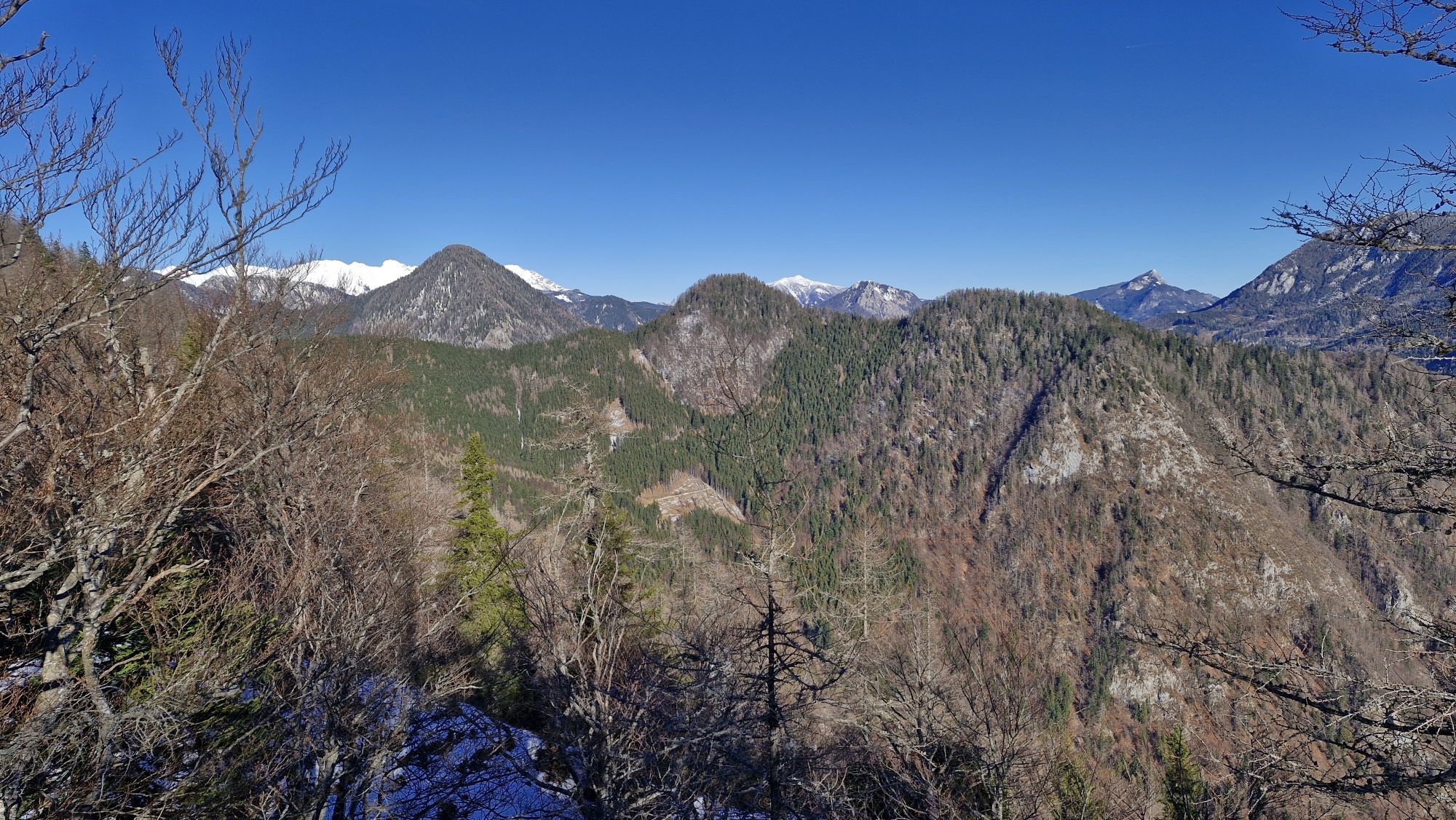
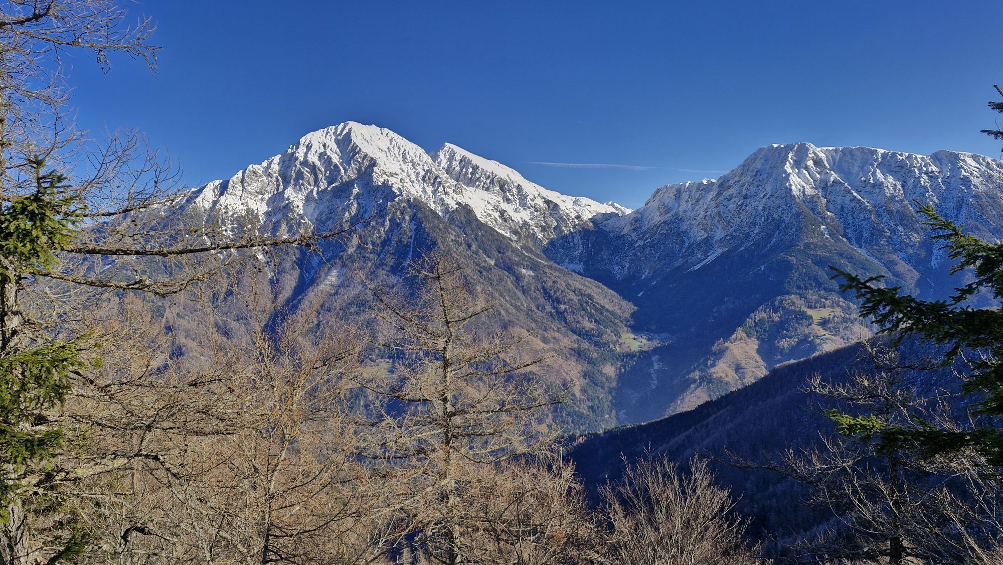
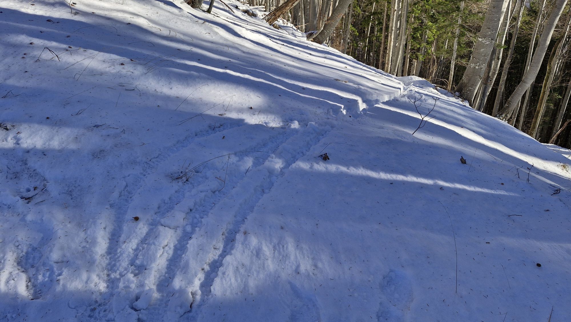
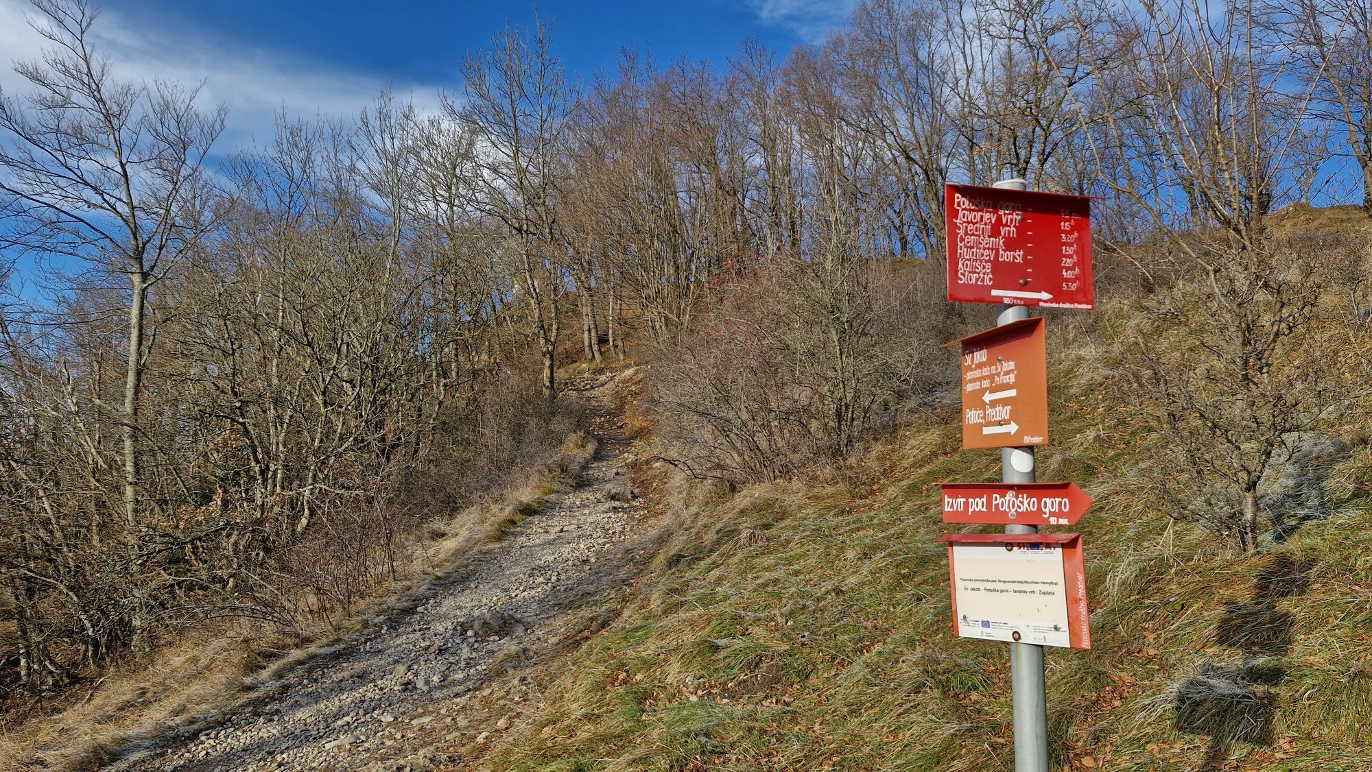
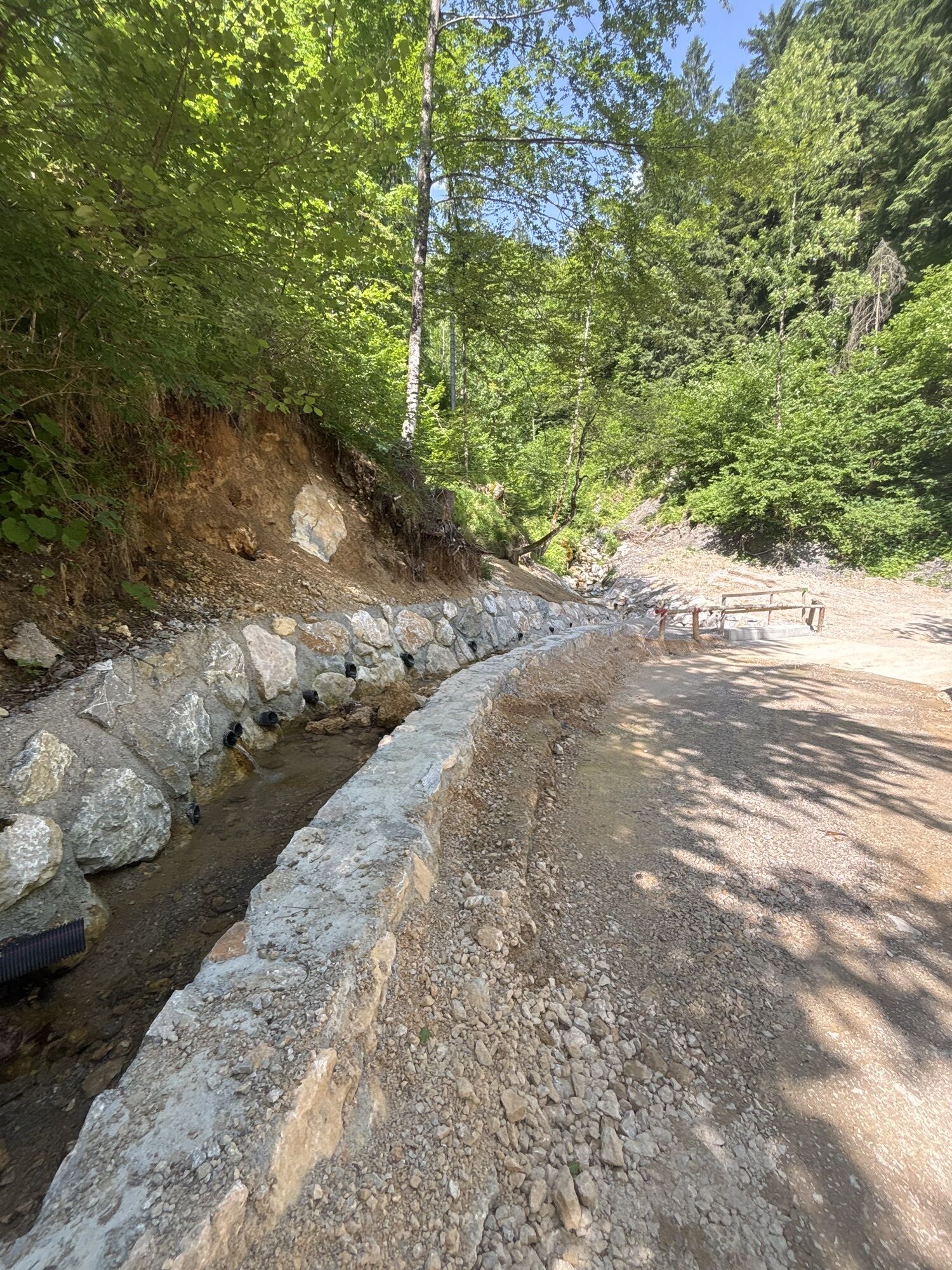
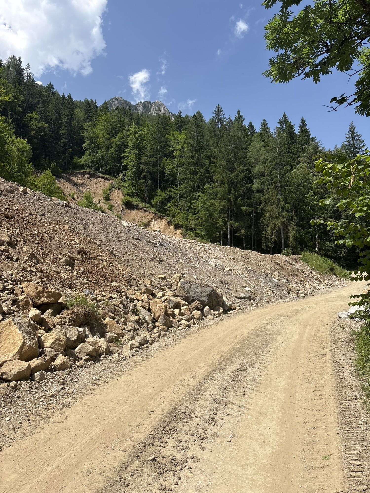
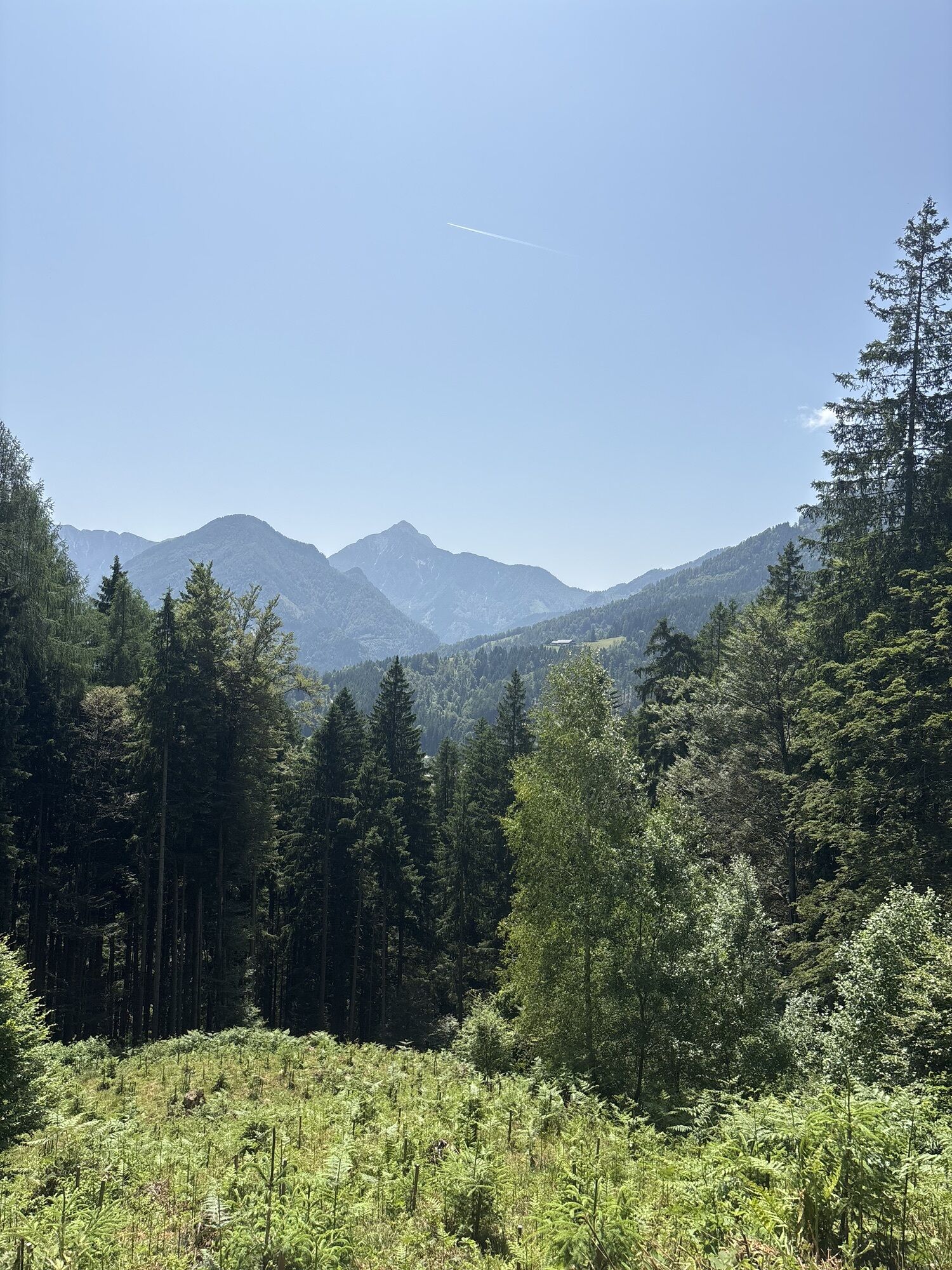
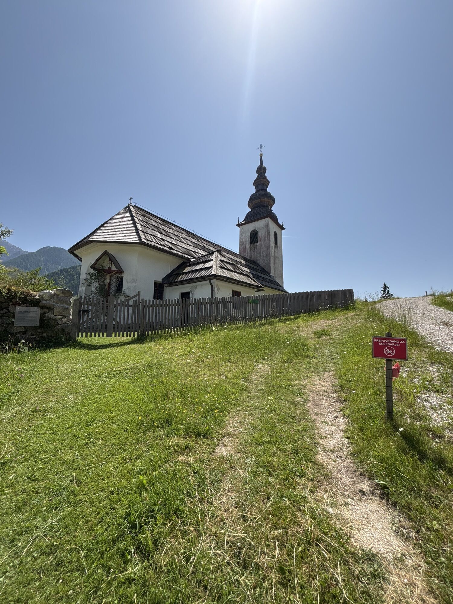
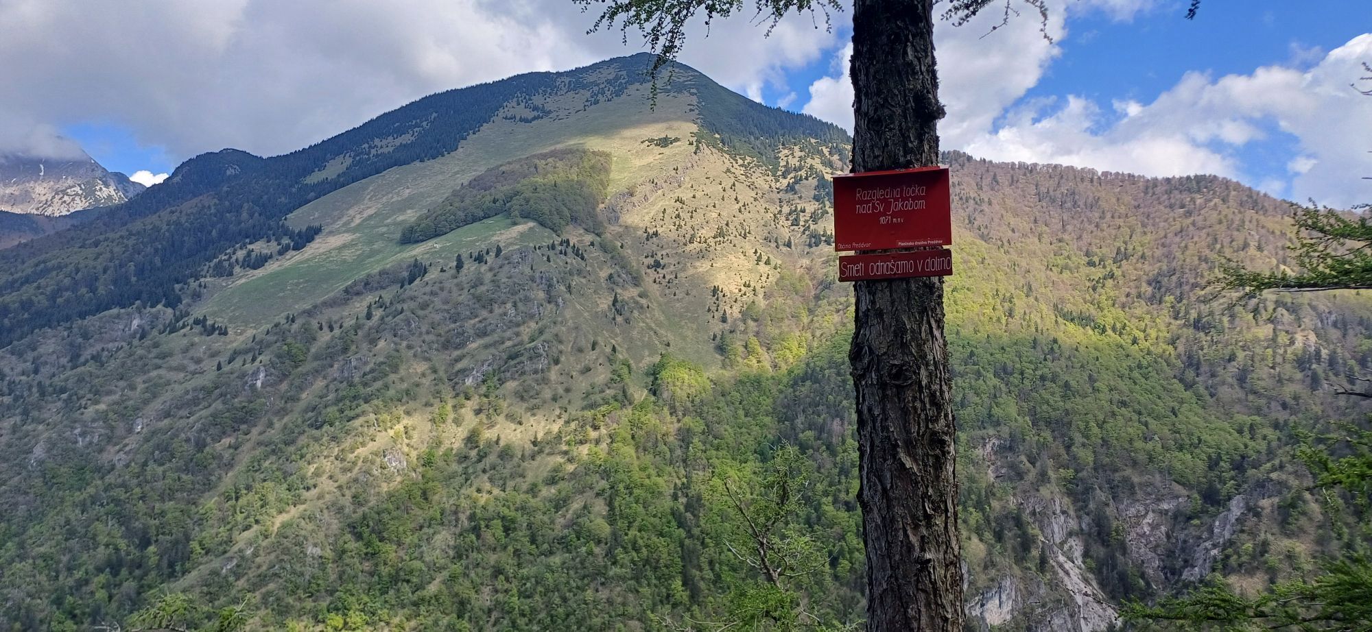
The route begins at the TIC Jezersko, where we turn left onto the asphalt road leading to the farm pr KrniÄar, near the church of St. Oswald. We continue past the church along a forest gravel road, following signs and markings to the Lehnjak-Forming Spring. At the crossroads with a small hayrack, we turn left and continue mostly on asphalt to the village, then turn right onto the main road and continue to the Kanonir Inn. Before the inn, we turn right over a bridge and continue along a cart track by the stream (markings 1). Then for a few kilometers, we follow signs for KališÄe or StoržiÄ, which greets us several times from afar. The path is steep, through the forest; on a smaller clearing in the middle of the forest we pass the Praprotnik hut (closed), with some skid trails and narrower paths, about 1.5 hours to the summit (the climb to StoržiÄ itself takes about an additional hour if you still have enough strength in your legs). We then slightly descend to the KališÄe Lodge, where there is a wonderful view of Lake Ärnava. We continue past the lodge on the path towards Jakob (about 2.5 hours on foot from there), first descending slightly and then ascending a bit, but there are no significant climbs left. We follow markings for St. Jacob, which we see in the distance on the right side, but still have quite a bit of walking to reach. We also pass a shelter in HudiÄev Boršt and two drinking water springs. At the Jakob Hut, take some time for rest and refreshment. We descend through the forest and along a gravel road past the Senior Home, and then along an asphalt road towards Lake Ärnava, over a footbridge, past a playground and a small bar to the village and TIC in Preddvor, where our route ends.
Tak
Tak
Well-broken-in hiking boots, weather-appropriate clothing, a backpack with a snack, refreshments, and sufficient water and other drinks, hiking poles (if you use them). A portable power bank is also recommended if your phone’s battery might be weak. The route sometimes lacks phone signal (area from 10–13 km), so it is advised to preload a GPX track on a hiking app.
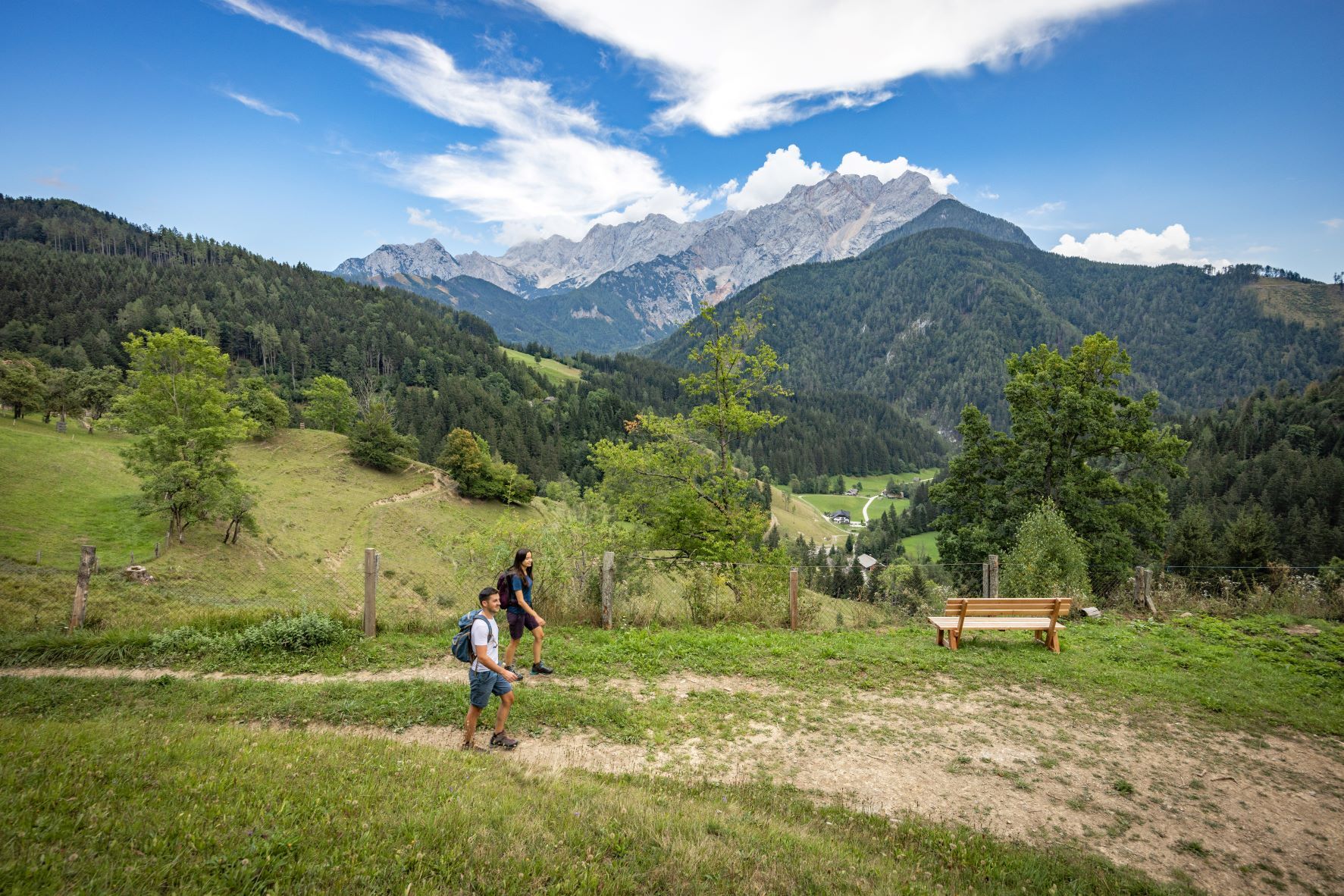
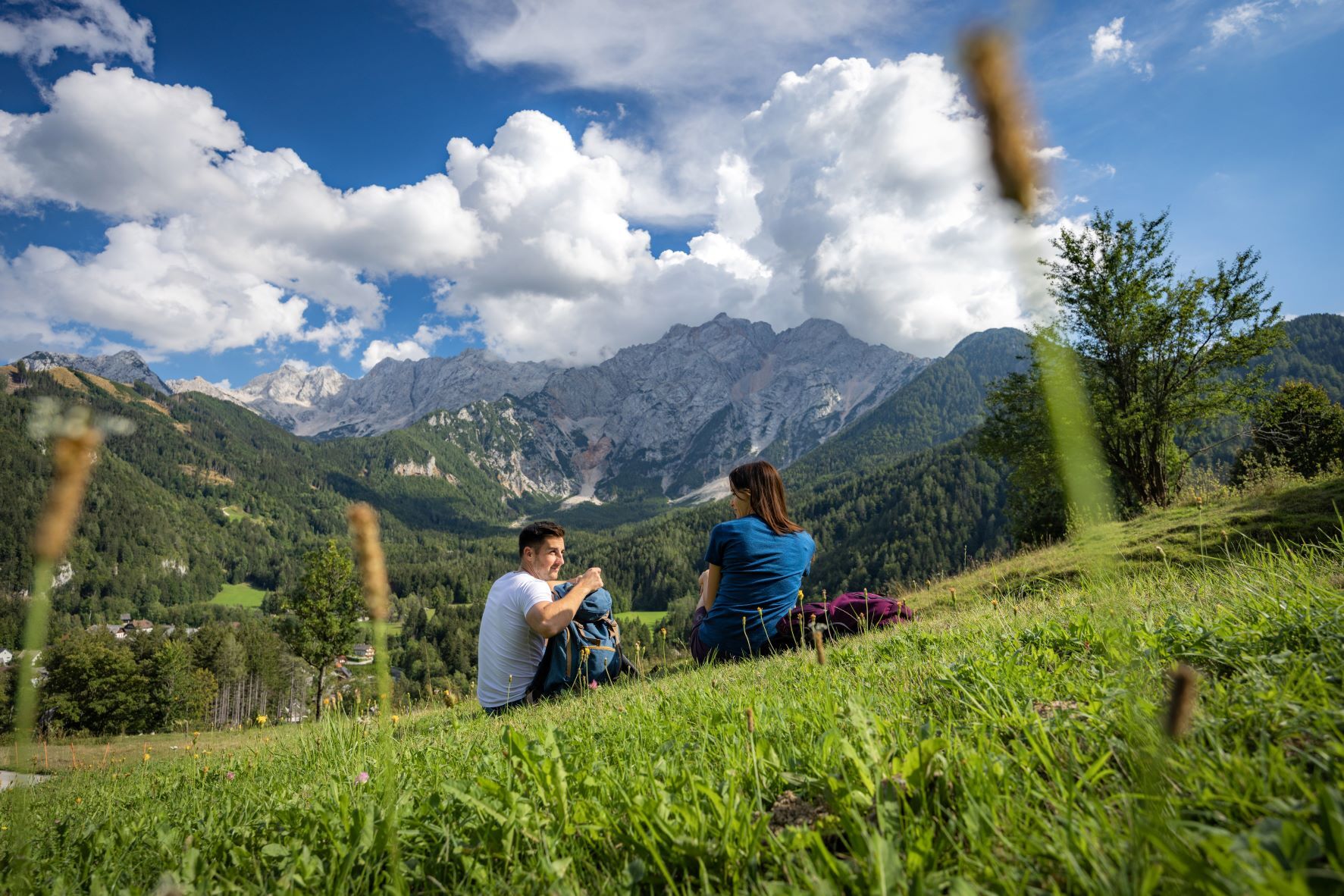
The first stage of the long-distance hiking trail is a demanding hilly path recommended for those with a bit more physical condition. Part of the trail to Bašeljsko Saddle ascends through a valley and has no exposed sections. On the path from KališÄe to St. Jacob, we walk partly on forest paths and partly on scenic, exposed grassy slopes. The descent from St. Jacob to Preddvor takes place in pleasant beech forest shade.
Before departure:
Check the weather forecast. Especially in summer, start early to avoid heat and afternoon storms. Inform someone close to you about your departure time and destination. Assess your physical and mental readiness and suitability for the chosen route – do not overestimate your abilities.During the trip:
Stay on marked paths. Take your trash with you, do not light fires, do not scare animals, do not pick flowers; a photo is a sufficient souvenir.Motorway:
Ljubljana–Jesenice – exit Kranj East - direction Upper Jezersko
Ljubljana-Kranj-Upper Jezersko (Kazina)
Ljubljana-Kranj, then bus connection to Upper Jezersko
bus to Kranj then to Upper Jezersko
Before Lake Črnava
Parking near TIC Jezersko (opposite Jezersko Municipality)
The path is very diverse and traverses varied terrain, alternating between asphalt and gravel, forest and hilly isolated areas. We cover a lot of kilometers and elevation difference, and the route delights us with beautiful views of StoržiÄ, the Jezersko hills, St. Jacob above Preddvor, Kranj, and the surroundings. There are no major orientation problems, but it is still recommended to preload the GPX track on a hiking app for offline use.
Suggested stops:
Kanonir Inn Mountain Lodge at KališÄe âMountain Hut at St. JacobâBefore setting off, check the opening status of mountain huts. During nice weekends (spring-autumn) most are open; weekday hours are adjusted.
Popularne wycieczki w okolicy
- 4,6
Vom Seebergsattel auf den Kärntner Storschitz (Rundweg)
ciężkiWędrówka 8,30 km - 4,5
Via ferrata Lärchenturm
ciężkiVia ferrata 6,15 km - 4,1
Krainersteig - Carinthian Storschitz
średniWędrówka 2,70 km - 3,8
From Zell-Pfarre to the Freiberg
ciężkiWędrówka 8,14 km - 3,9
Trögerner Klamm
światłoWędrówka 7,09 km - 4,0
Schaidasattel - Tolsta Koschuta
ciężkiWędrówka 14,1 km - 3,5
Bad Eisenkappel: Vellacher Kotschna
Wędrówka 12,1 km - 4,6
Logarska dolina sa Minom, Borkom i Žakom
światłoWędrówka 9,59 km - 4,7
Via ferrata Češka koča
Via ferrata 2,10 km - 4,0
Via ferrata Koschutnikturm
średniVia ferrata 2,21 km
Wędrówki i tropienie


Nie przegap ofert i inspiracji na następne wakacje
Twój adres e-mail została dodana do listy mailingowej.