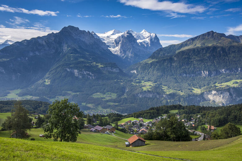
Giswil lies at the southern end of Lake Sarnen. The municipality is characterised by mountains, moorland and alpine pastures.
The Giswilerstock – which changes shape depending on where you view it – is particularly well known for its summit cross.
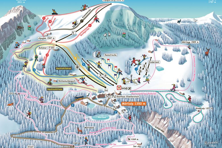
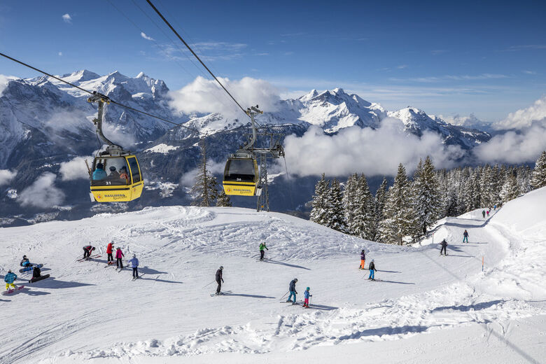
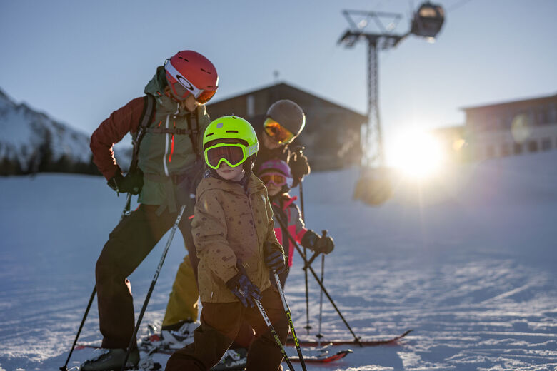
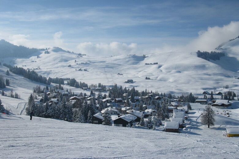
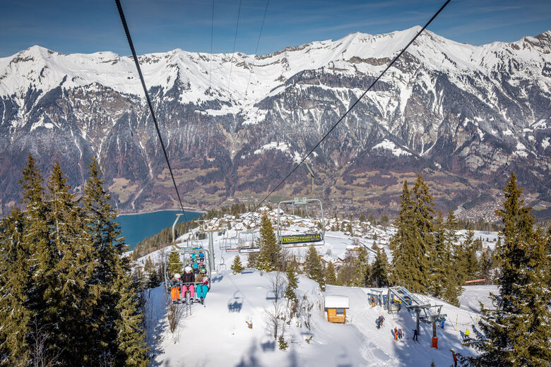
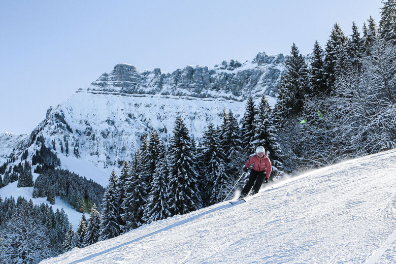
In winter, the Mörlialp is a popular family ski resort, now also included in the Magic Pass.
Heading further south, you come to the high valley of Lungern and...
Giswil lies at the southern end of Lake Sarnen. The municipality is characterised by mountains, moorland and alpine pastures.
The Giswilerstock – which changes shape depending on where you view it – is particularly well known for its summit cross.
In winter, the Mörlialp is a popular family ski resort, now also included in the Magic Pass.
Heading further south, you come to the high valley of Lungern and the Brünig Pass. There is an unobstructed view of the snow-capped peaks of the Wetterhorn group.
Numerous hiking trails make Giswil a popular destination for day trips; find out more at www.wanderparadies.ch.
Skontaktuj się z nami


Ośrodki narciarskie w okolicy
-
Mörlialp
Luzern - Vierwaldstättersee
-
Langis
Luzern - Vierwaldstättersee
-
Melchsee
Luzern - Vierwaldstättersee
-
Meiringen
Berner Oberland
-
Sörenberg
Luzern - Vierwaldstättersee
-
Dallenwil
Luzern - Vierwaldstättersee
-
Axalp
Berner Oberland
-
Engelberg
Luzern - Vierwaldstättersee
-
Marchbachegg
Luzern - Vierwaldstättersee
-
Bumbach
Bern & Region Bern


Wędrówki i tropienie




Nie przegap ofert i inspiracji na następne wakacje
Twój adres e-mail została dodana do listy mailingowej.





