


MONTE DOSAIP
Poziom trudności: T3
From the parking lot in Pian de Céa, enter the wide and gently sloping gravel valley called Grave da Giere, at the end of which is the shelter Casera Podestine. Leaving the shelter to the left, continue...
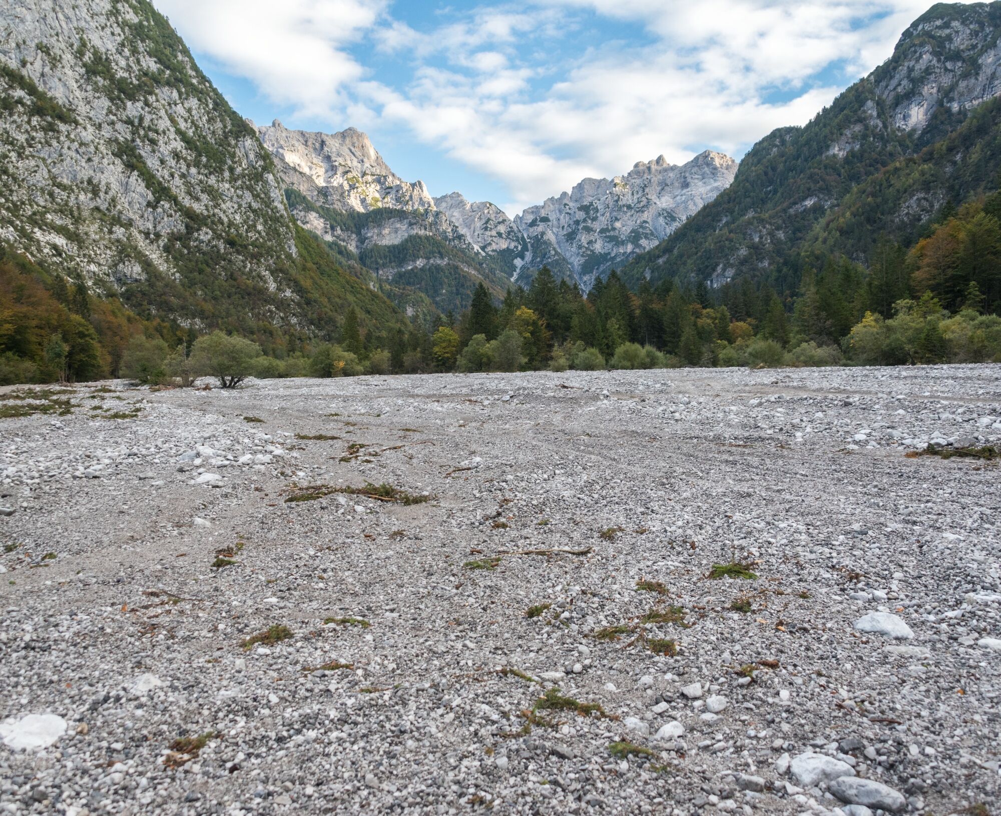
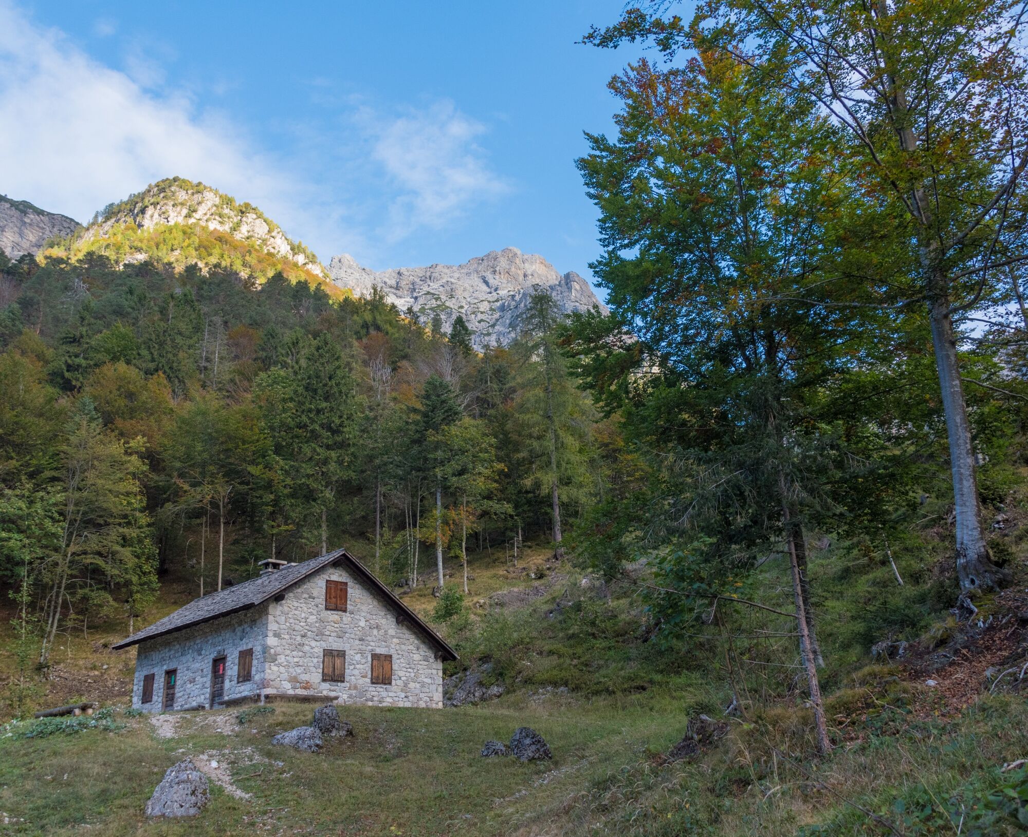
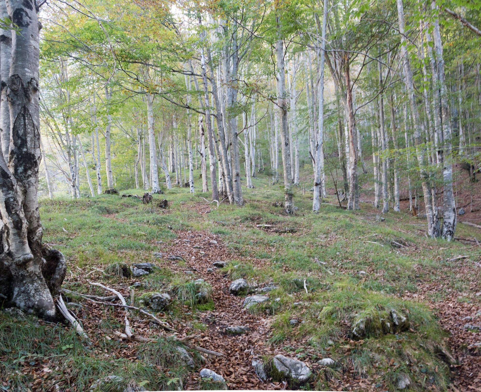
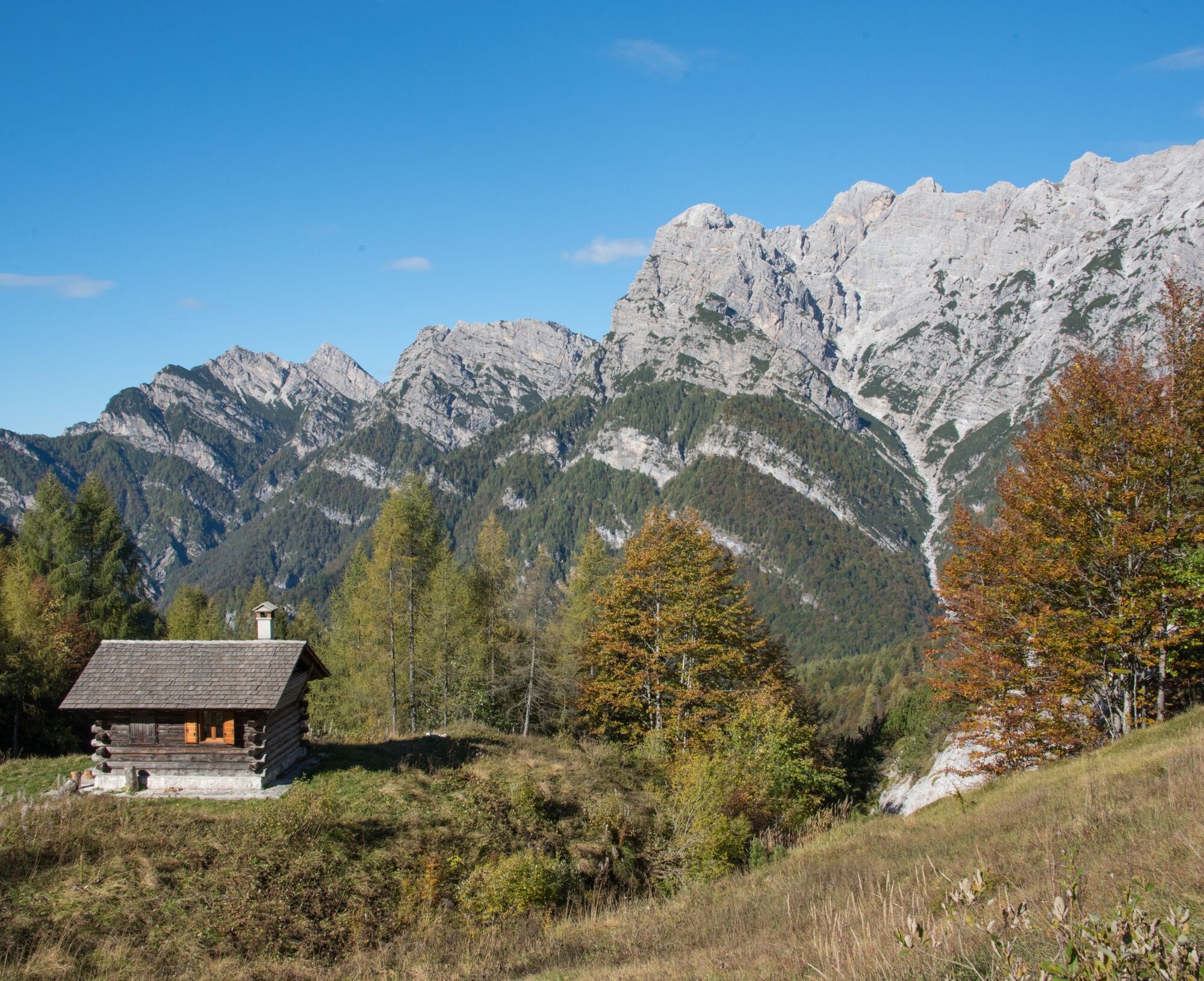
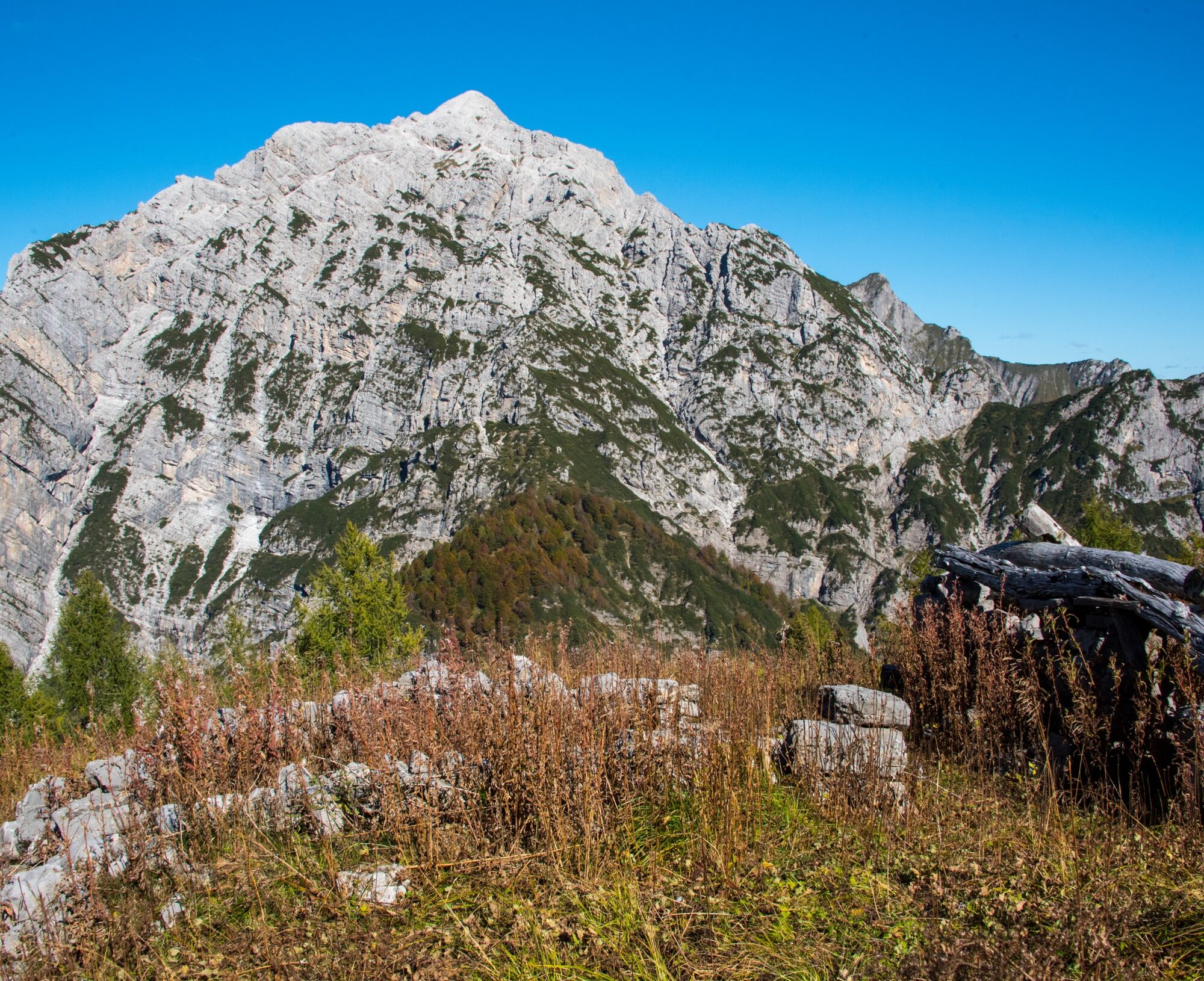
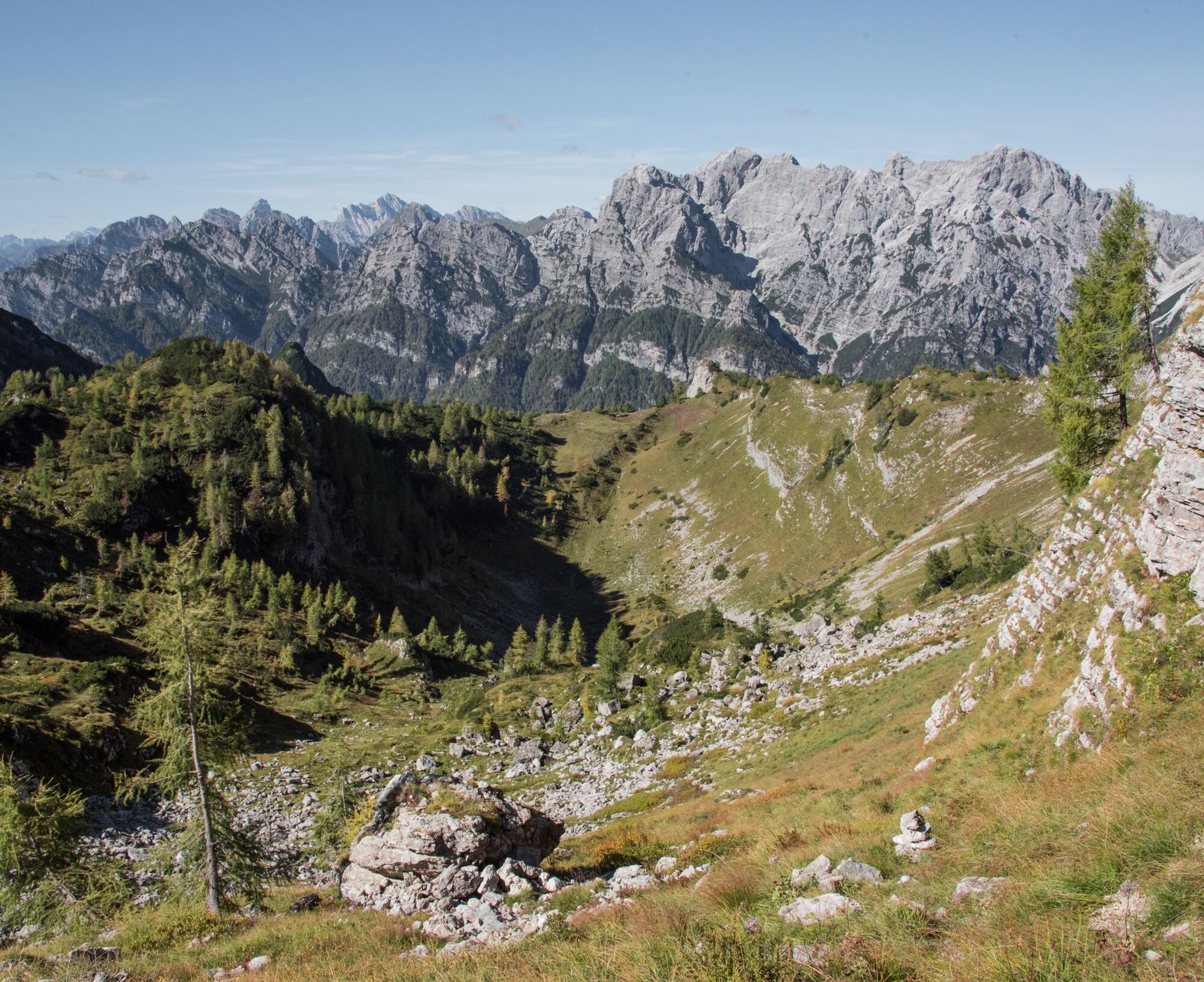
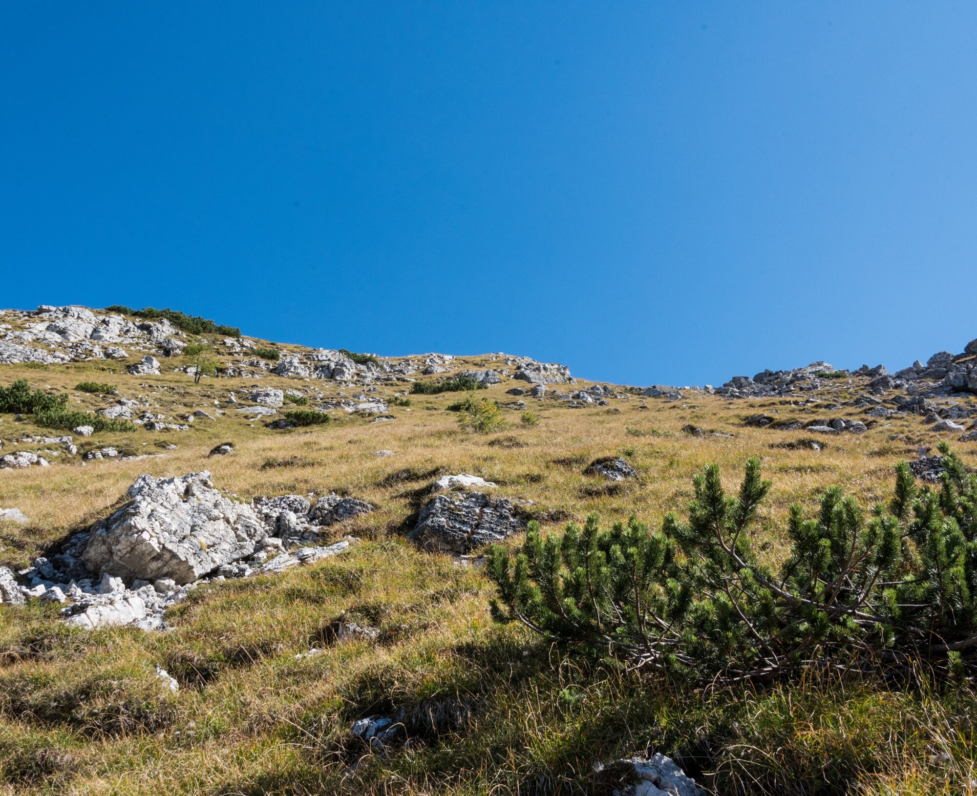
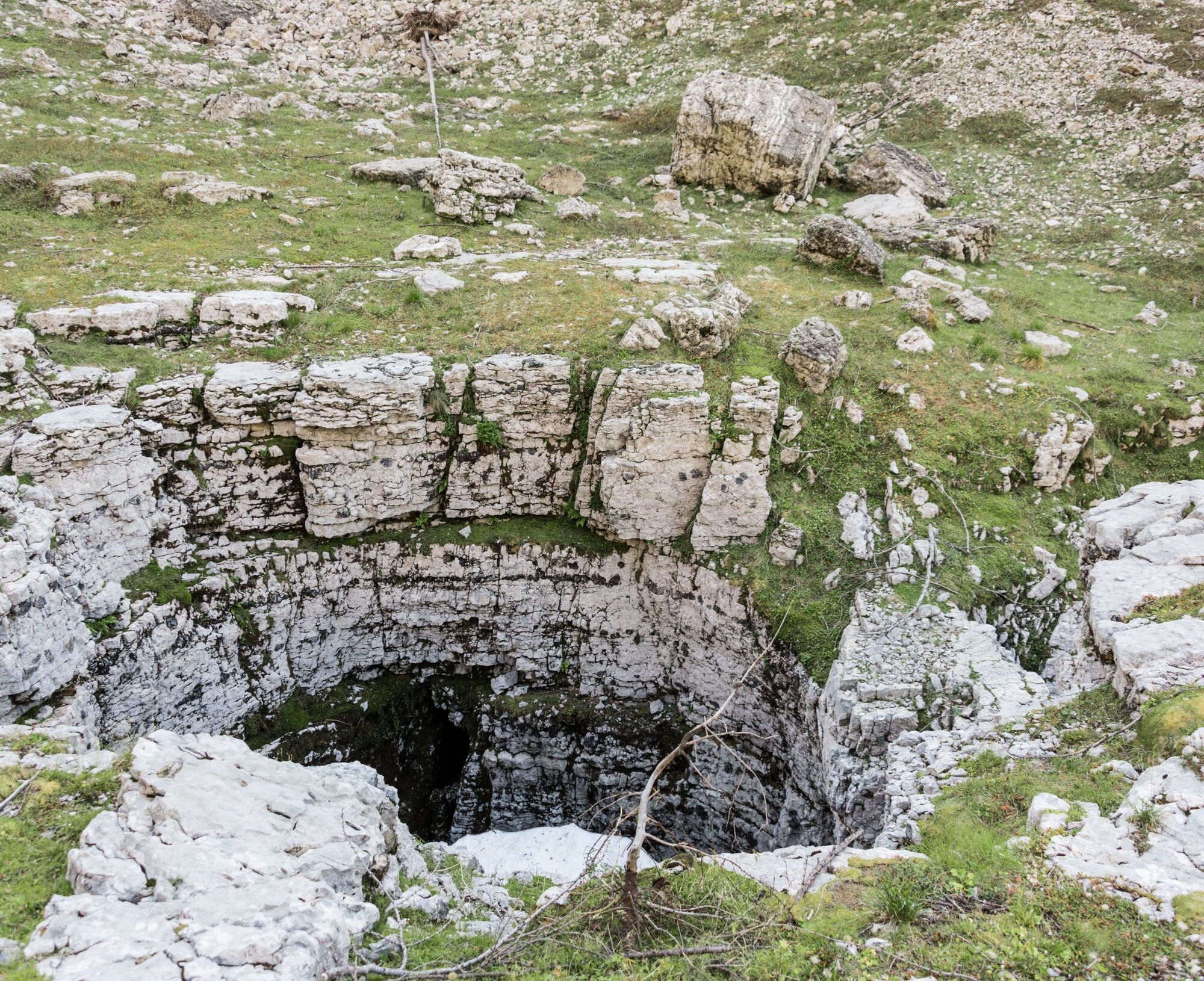
From the parking lot in Pian de Céa, enter the wide and gently sloping gravel valley called Grave da Giere, at the end of which is the shelter Casera Podestine. Leaving the shelter to the left, continue following signs for Casera Caserata, taking the path that branches off from the valley floor to climb the slope characterized by a magnificent beech forest. Then leave the forest and cross some debris channels, finally reaching Casera Caserata, located just below the homonymous mountain pass. From the shelter, head to the pass, then abandon the marked trail to follow an unmarked path that ascends southward into a mixed forest of firs and larches. Emerging from the forest, you will find the ruins of Casera Dosaip. Continue now among shrubs, small larches, and exposed rocks, where the trail blends with animal tracks of wildlife frequenting the high-altitude meadows. Ascending further, you reach a ridge that, once crossed, allows you to descend to Ciadìn del Dosaip, at the bottom of which there is the opening of a vertical karst sinkhole. Continue through coarse debris alternating with sloping meadows, maintaining the elevation relative to the basin floor, then climb the steep final slope to the summit.


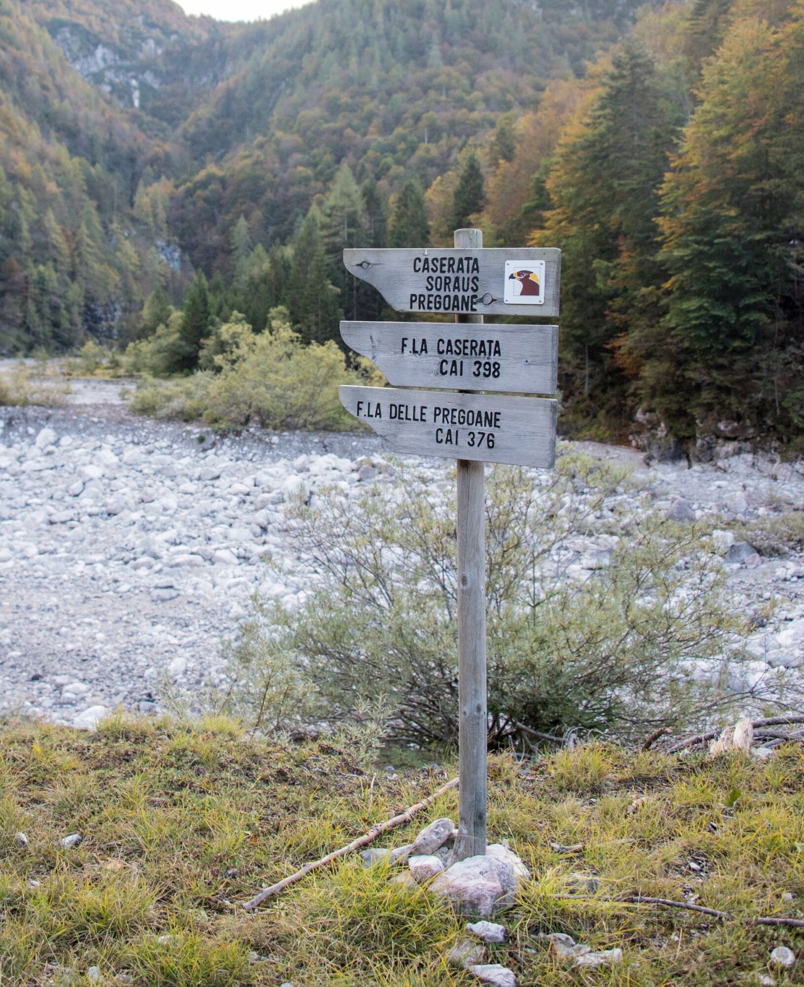
CAI trail markers 376 and 398
Tak
Tak
Hiking route
SUPPORT POINTS: Casera Podestine, Casera Caserata
The starting point is Pian de Cea, located 7 km from Claut. You must reach the hamlet of Lesis and continue along the “Strada degli Alpini” (toll road in summer).
Parking in Pian de Céa locality - Claut (PN)
T3
https://app.parcodolomitifriulane.it/itinerari/difficili-per-esperti/monte-dosaip/
Popularne wycieczki w okolicy
-
5,0
Raut da Palabarzana
średniWędrówka 9,72 km -
4,5
RING OF LAKE BARCIS
światłoWędrówka 5,64 km -
The multicolored campanili of Mount Zauf
średniWędrówka 14,2 km -
Urtisiel and Canpuros, Dolomitic wonders
średniWędrówka 13,5 km -
Gnome village - green route
światłoWędrówka 4,46 km -
5,0
Campanile di Val Montanaia i Bivacco Perugini
średniWędrówka 2,76 km -
Gnomes' village - blue route
światłoWędrówka 5,71 km -
Enchanted Forest
światłoWędrówka 5,16 km -
TRAIL OF THE LOOKOUTS OF THE CAMPANILE DI VAL MONTANAIA
światłoWędrówka 3,07 km -
4,0
Monte Resettum
ciężkiWędrówka 15,0 km
Wędrówki i tropienie


Nie przegap ofert i inspiracji na następne wakacje
Twój adres e-mail została dodana do listy mailingowej.