







Nature trail no. 9
Poziom trudności: T2
Certainly an interesting walk that will accompany the hiker along this path descending directly from the foothills of the Karst escarpment towards one of the most emblematic symbols of the city of Trieste:...
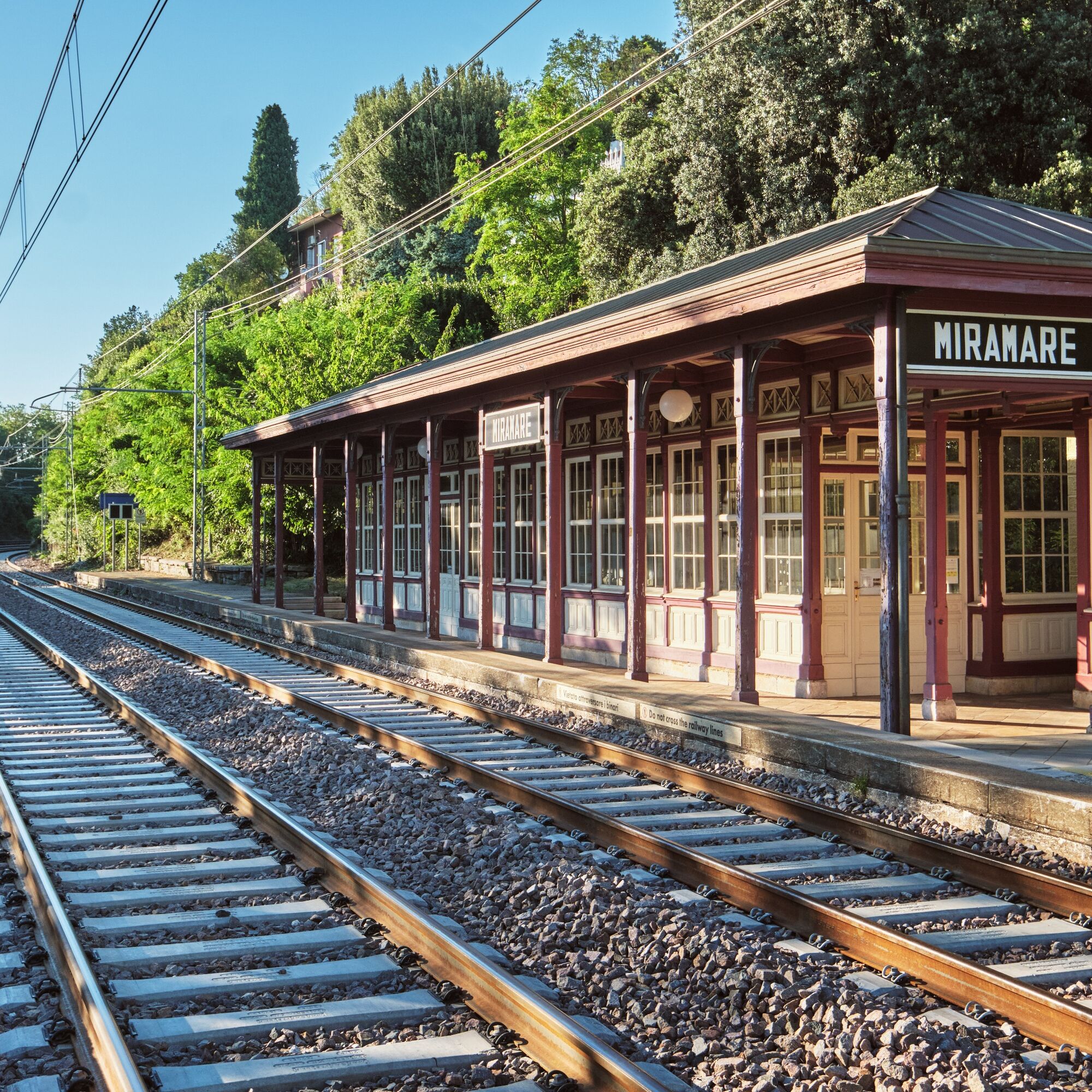
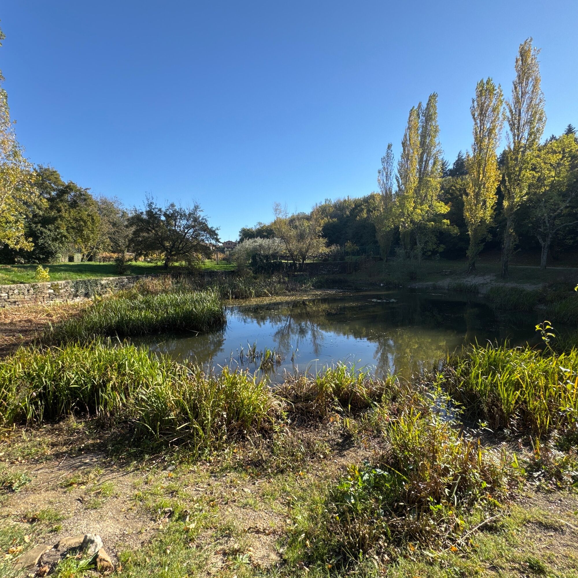
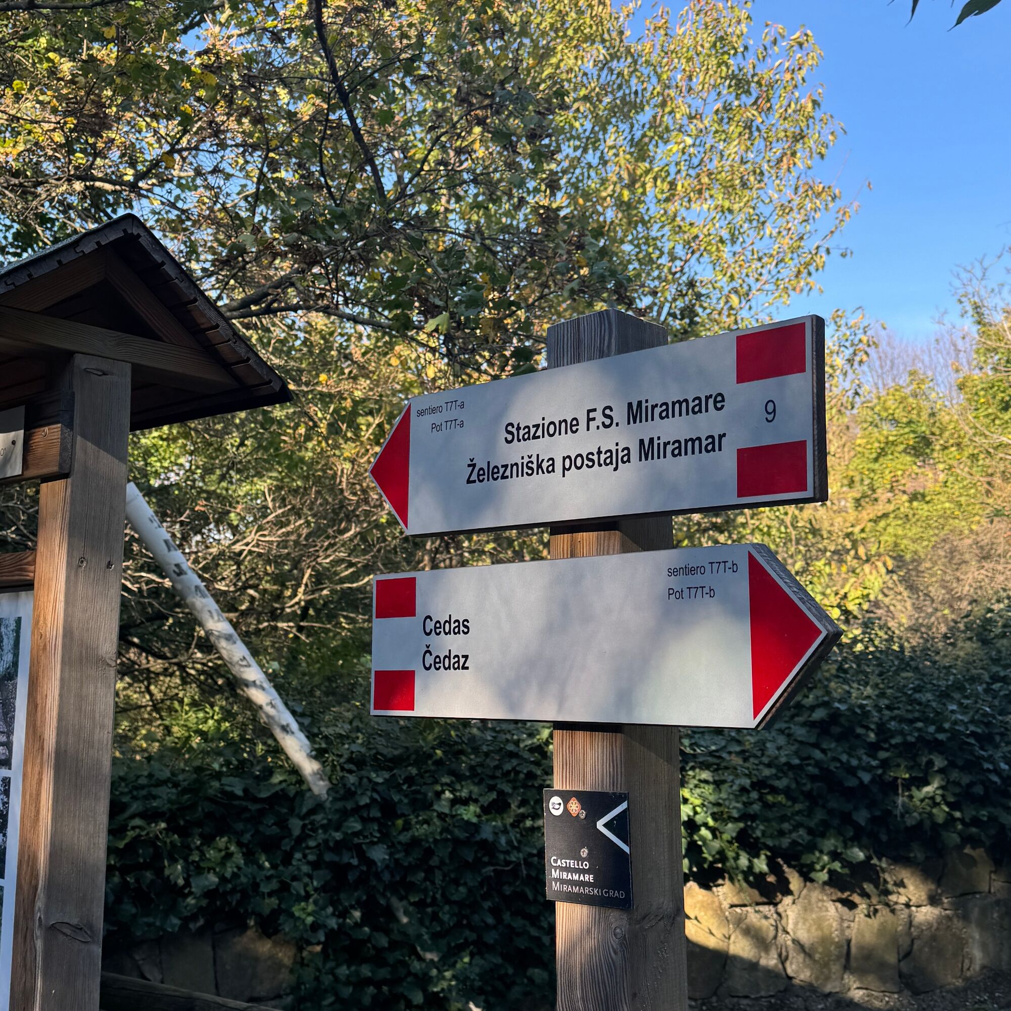
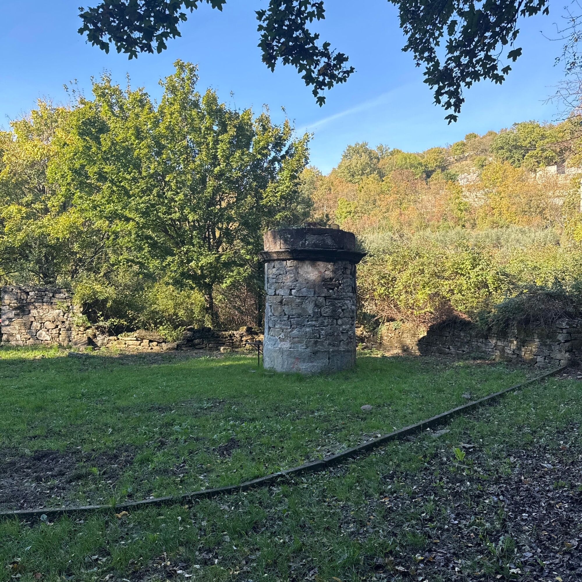
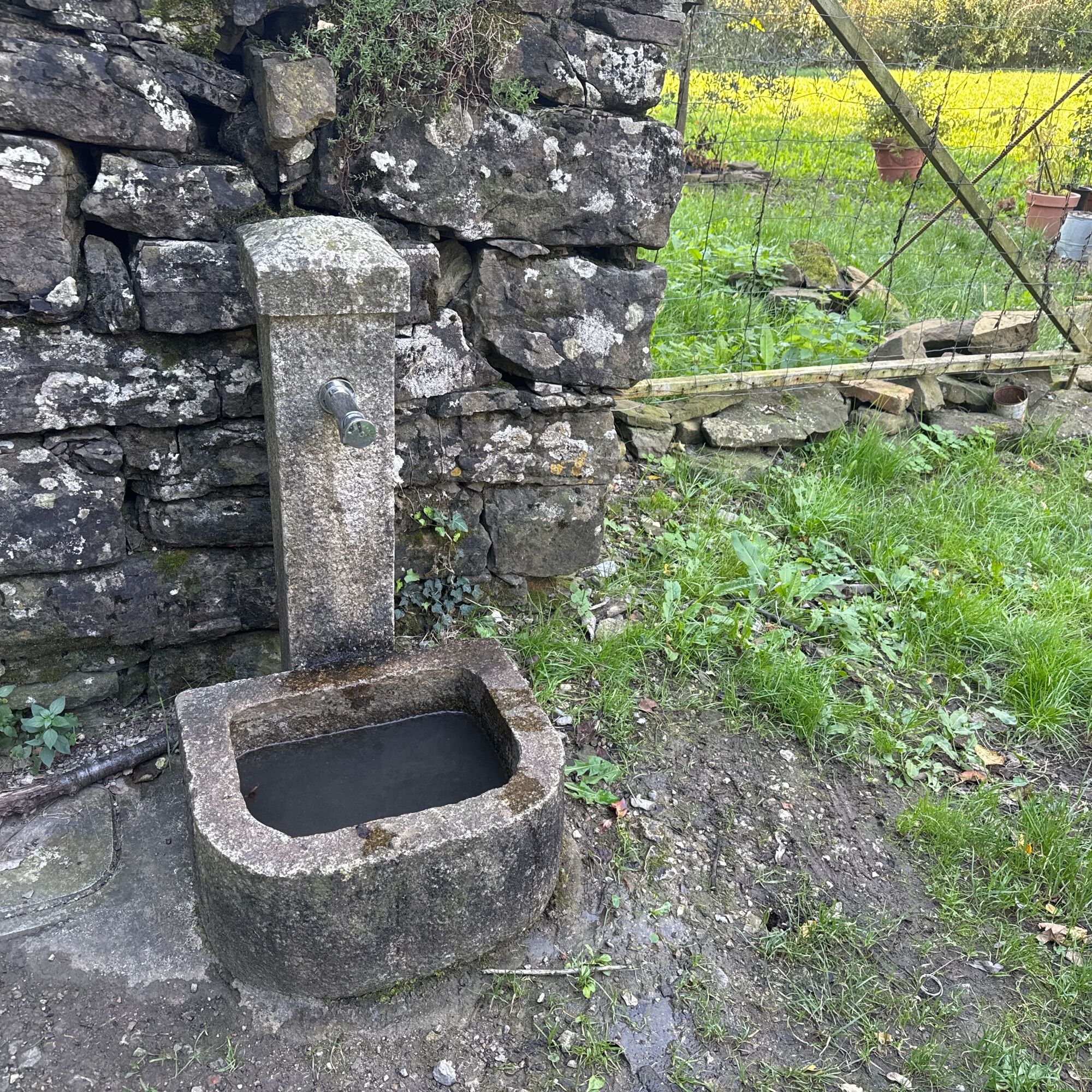
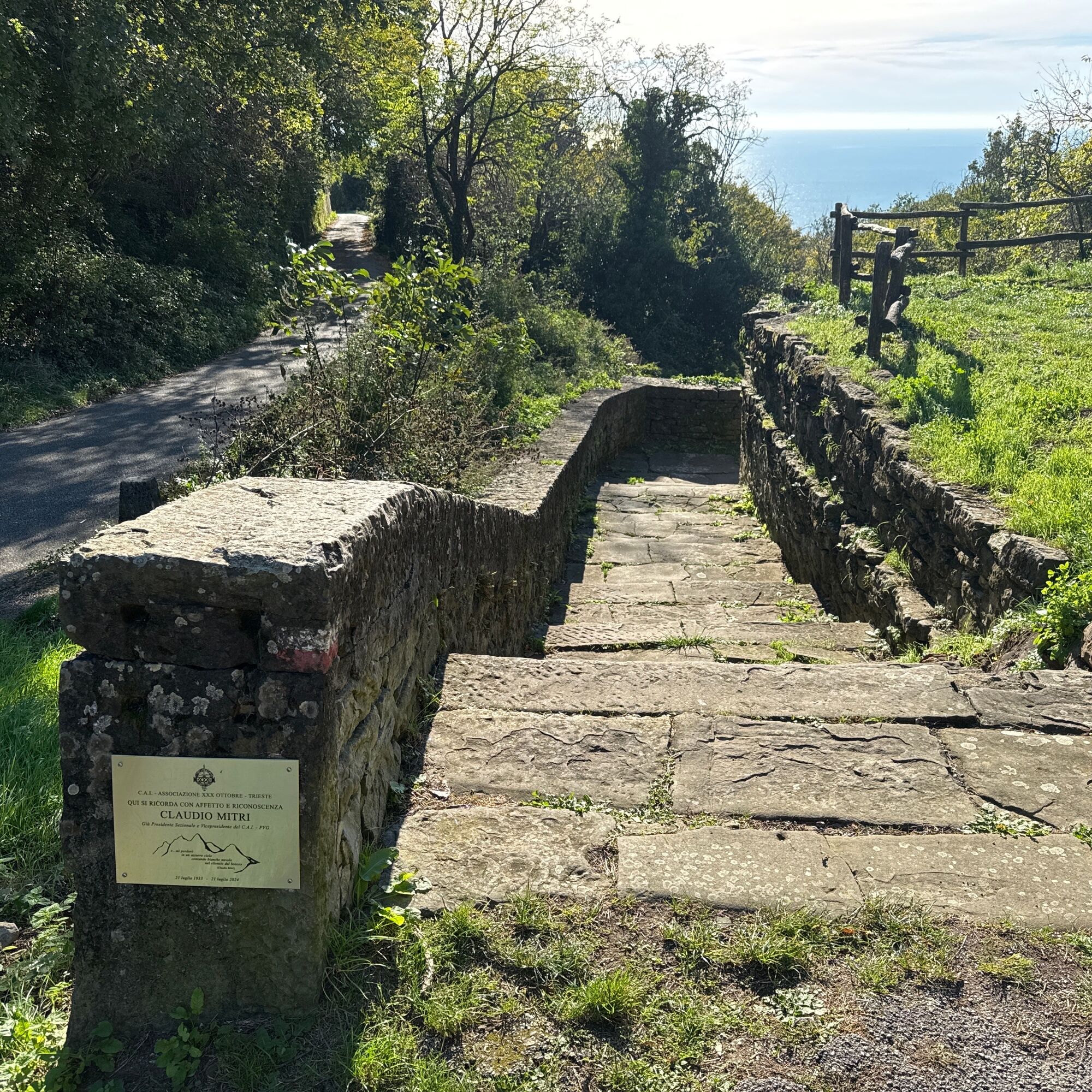
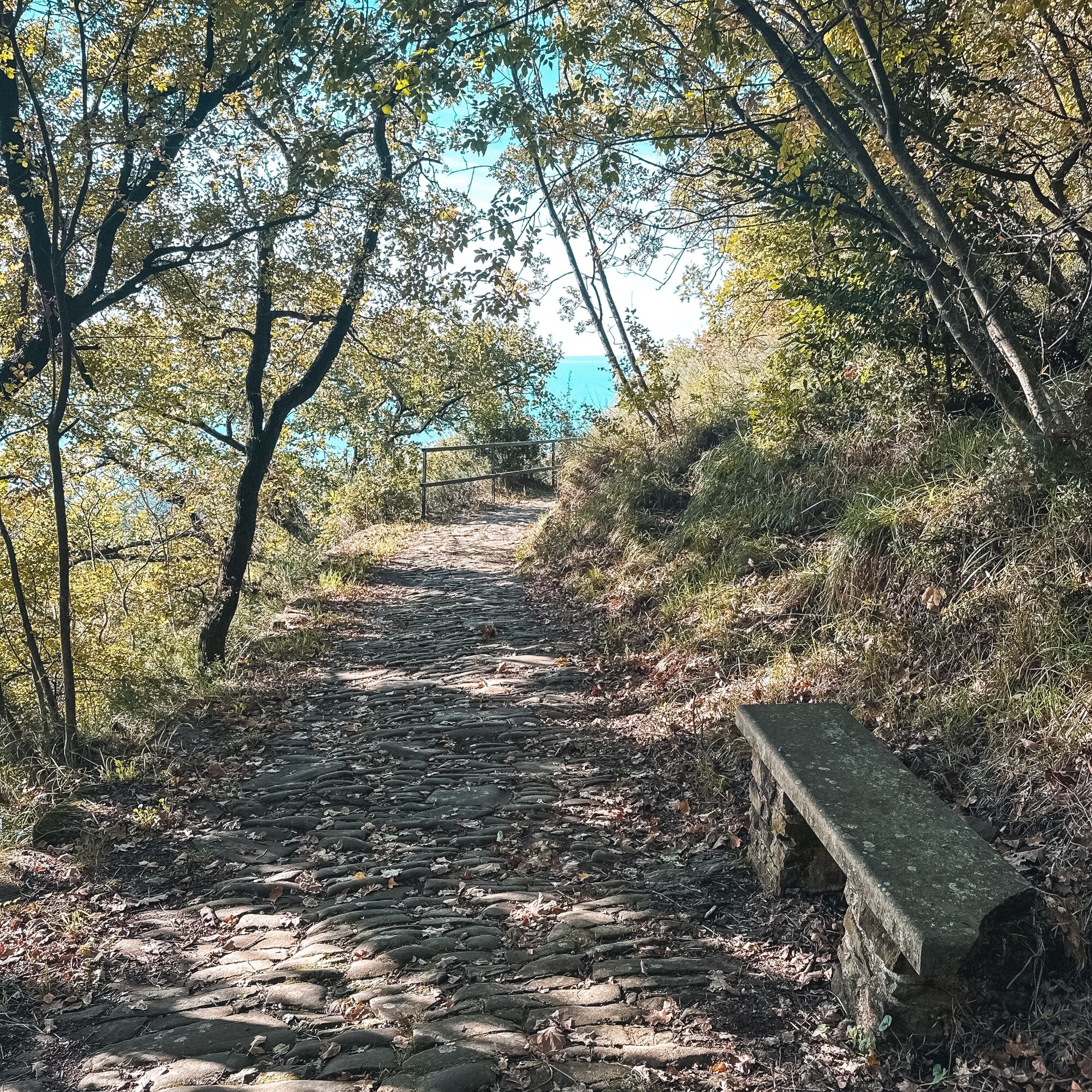
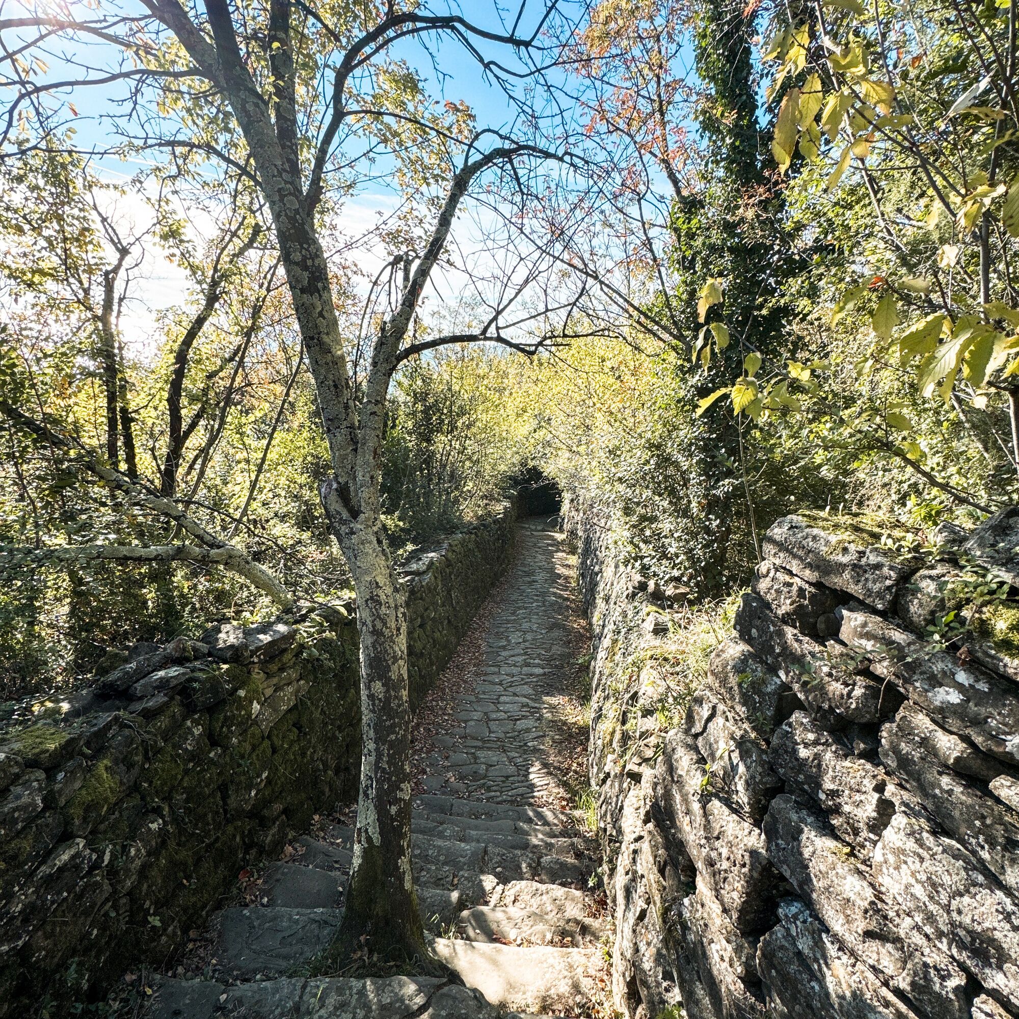
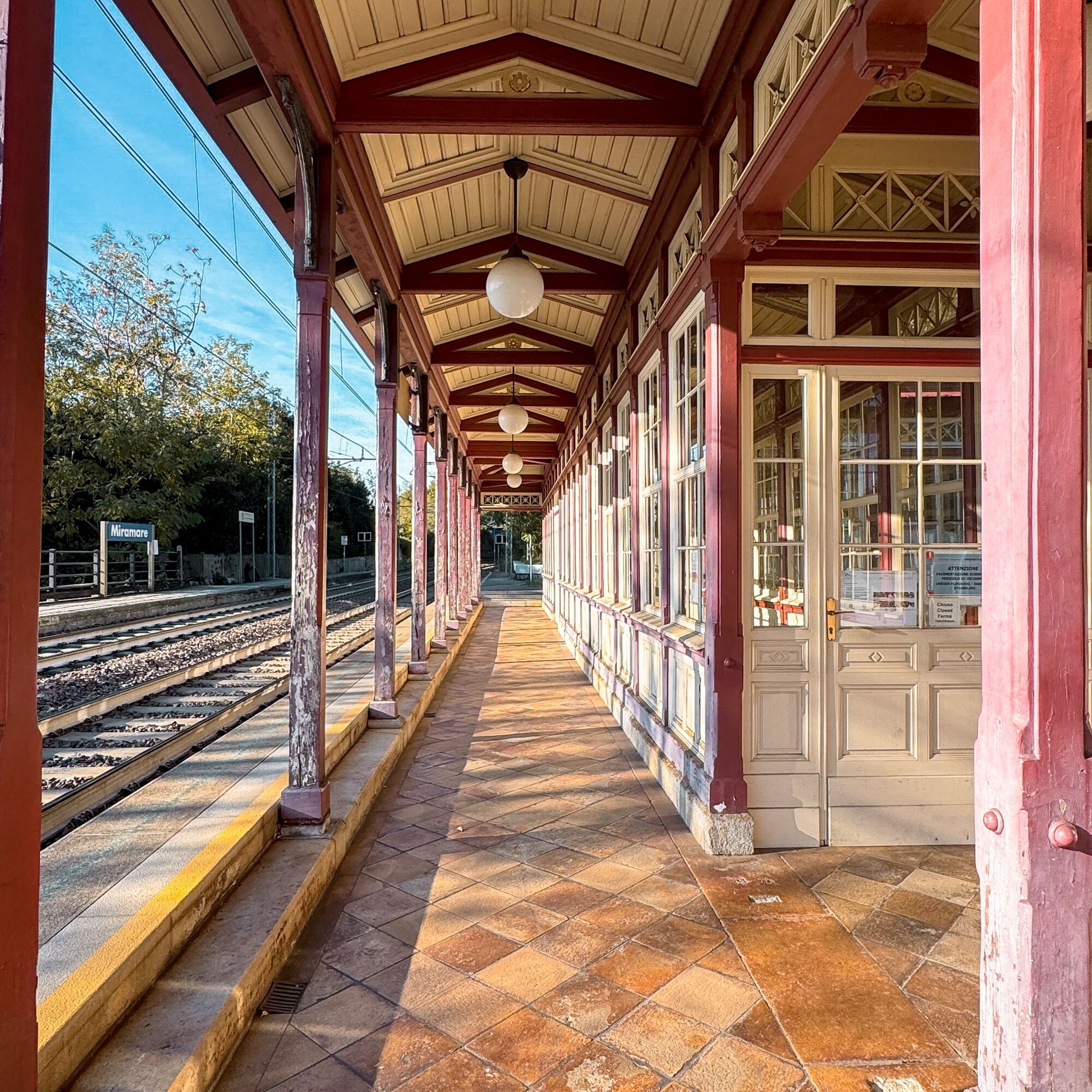
Certainly an interesting walk that will accompany the hiker along this path descending directly from the foothills of the Karst escarpment towards one of the most emblematic symbols of the city of Trieste: the Miramare castle. Along a well-marked route, which begins near a charming forest with a medium-sized pond, you pass through vineyards, rural staircases, ancient fountains, the characteristic pastini (terraced areas used in agriculture), descending about 250 meters through much nature and breathtaking views of the Gulf of Trieste up to the lovely Miramare railway station, a charming railway station built in the second half of the nineteenth century to connect Vienna to Trieste, and then on to Grignano, up to the castle entrance. Along the route, there are several benches, tables, and working fountains all made strictly of stone.


Tak
Tak
packed food and drinks, comfortable footwear, clothing suitable for the season.
Sections on paved road; despite the presence of sidewalks, pay attention.
From Trieste Lines 44 and 42
Parking lot opposite the little church of Contovello
T2
The path has an elevation difference of about 250m and is easy to walk towards Grignano, while it is more challenging in the opposite direction.

Popularne wycieczki w okolicy
- 4,8
Rilkeweg
światłoWędrówka 6,19 km - 4,6
Triest-Opicina (Obelisk) nach Prosecco
światłoWędrówka 4,28 km - 5,0
Etappe 34 Alpe-Adria-Trail: Duino - Prosecco
średnidługodystansowy szlak pieszy 24,3 km Triest i Koper / Koper Ring (R050)
średniKolarstwo długodystansowe 52,3 km- 5,0
Etappe 35 Alpe-Adria-Trail: Prosecco – Lipica
średnidługodystansowy szlak pieszy 20,8 km - 3,0
Die Isola della cona
światłoWędrówka 12,7 km Carsus Trail - a long-distance trail through the Karst region of Slovenia and Italy
średnidługodystansowy szlak pieszy 102,2 km- 4,0
Loop on the Derin trail and Globojner Park
średniWędrówka 7,36 km - 5,0
Sage Trail or Tiziana Weiss
światłoWędrówka 2,41 km FVG 2/b Wariant krasowy (C2V2)
ciężkiKolarstwo długodystansowe 105,1 km
Wędrówki i tropienie


Nie przegap ofert i inspiracji na następne wakacje
Twój adres e-mail została dodana do listy mailingowej.





