


Montemaggiore Loop
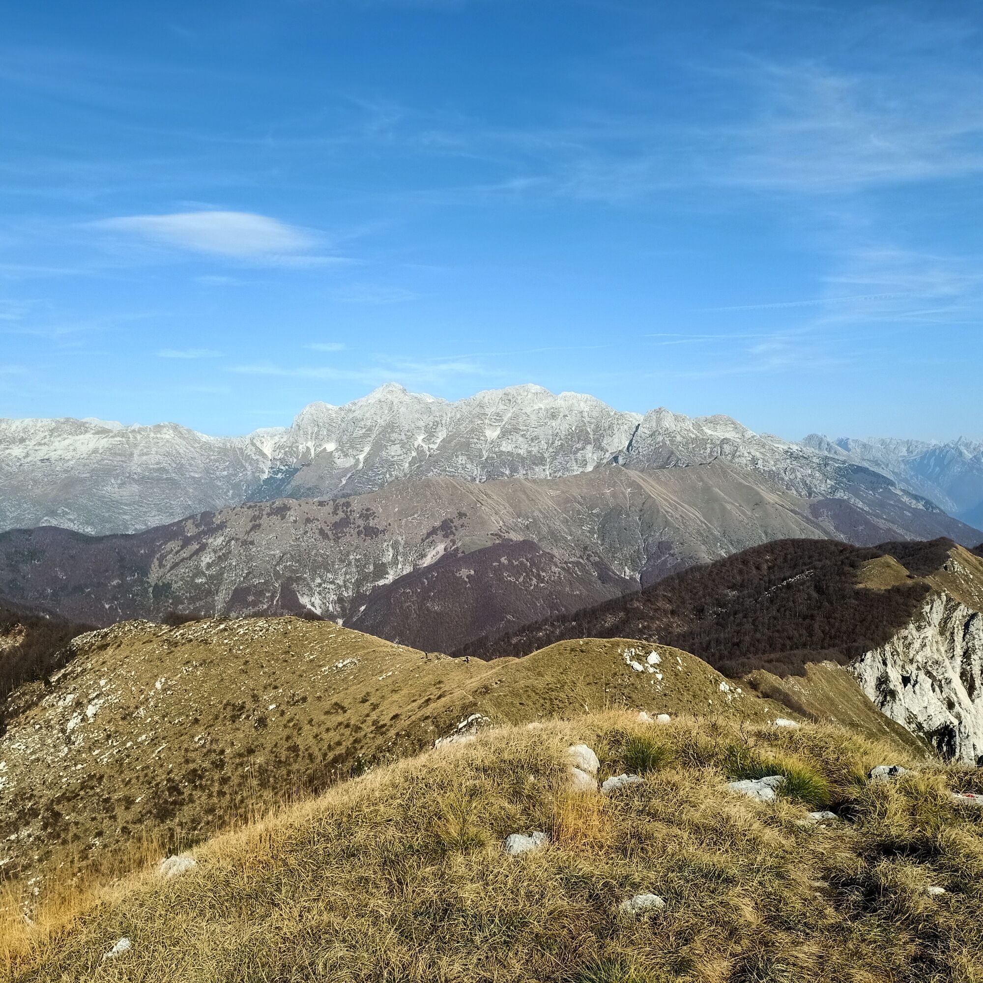
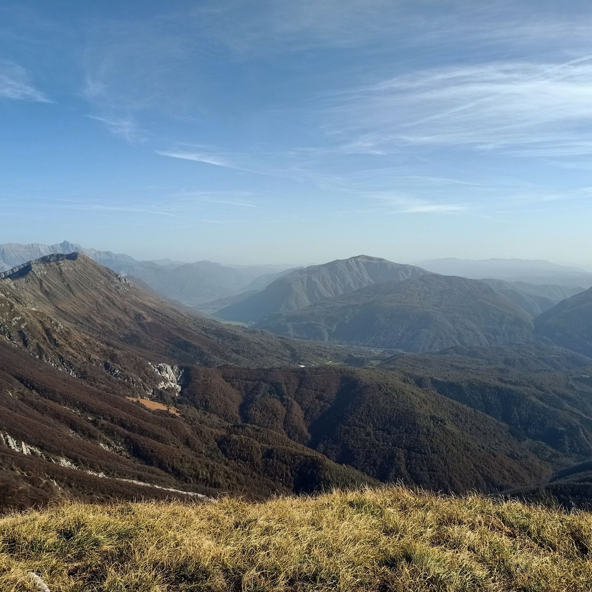
Passo Tanamea, nestled among the majestic peaks of Monte Musi, is a true natural and historical gem of Friuli. This pass not only offers breathtaking views of the surrounding valley but also represents...
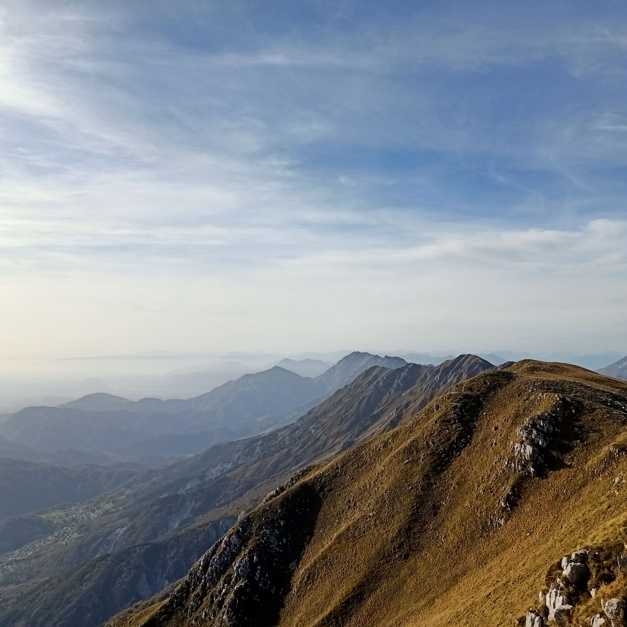
Passo Tanamea, nestled among the majestic peaks of Monte Musi, is a true natural and historical gem of Friuli. This pass not only offers breathtaking views of the surrounding valley but also represents an important crossroads for nature and history enthusiasts.
Through its trails, hikers can immerse themselves in a wild and unspoiled environment, characterized by a diverse flora and fauna that deserve to be explored and preserved. The absence of urban settlements allows for an authentic experience, far from the noise and hectic pace of modern life.
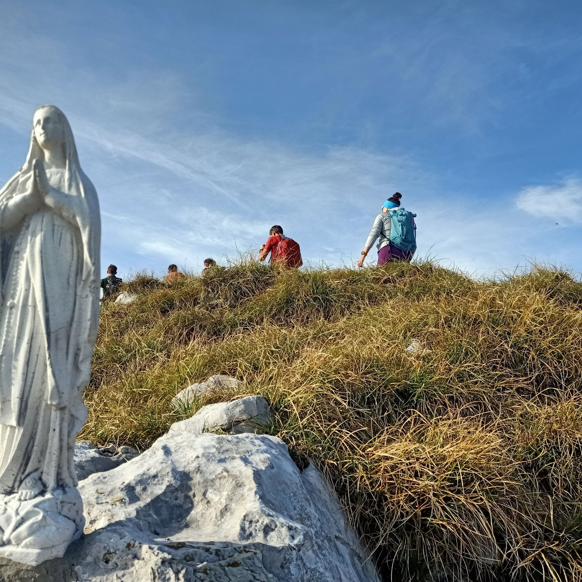
From a historical point of view, the site holds important memories of the two world wars. The trenches and small forts scattered along the trails tell stories of battles and men, making the hike not only a physical activity but also a journey through time and memory.
In summary, this hike is an interesting destination for those seeking direct contact with nature, but also an opportunity to reflect on the history that has shaped these lands.

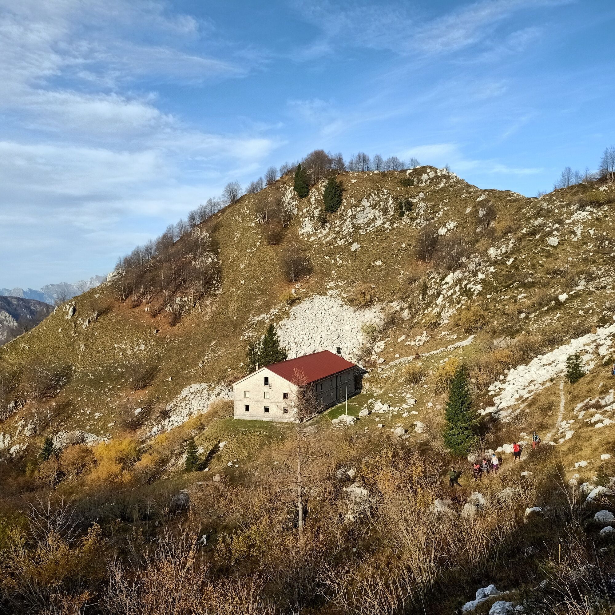
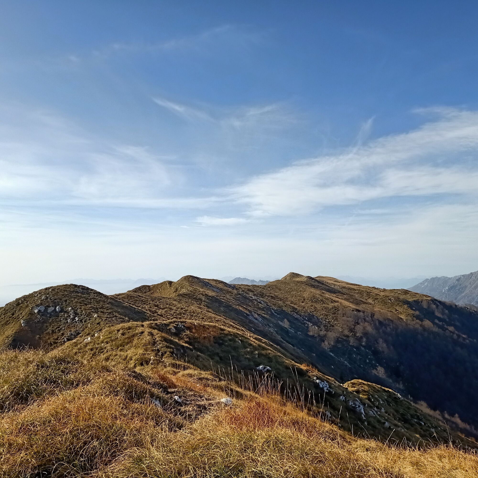
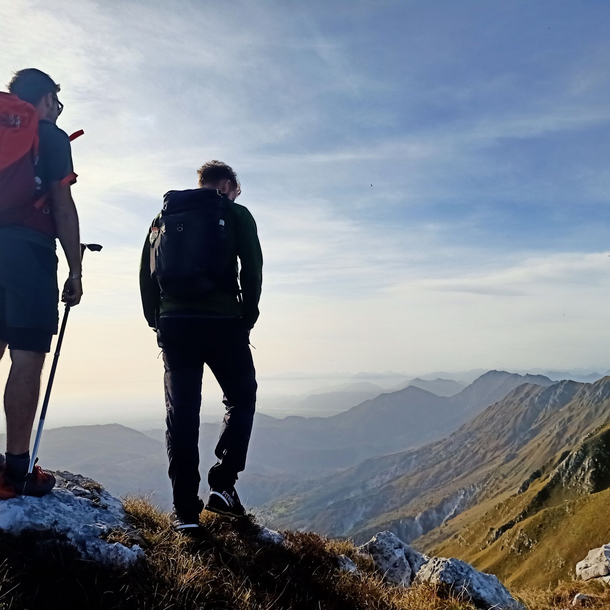
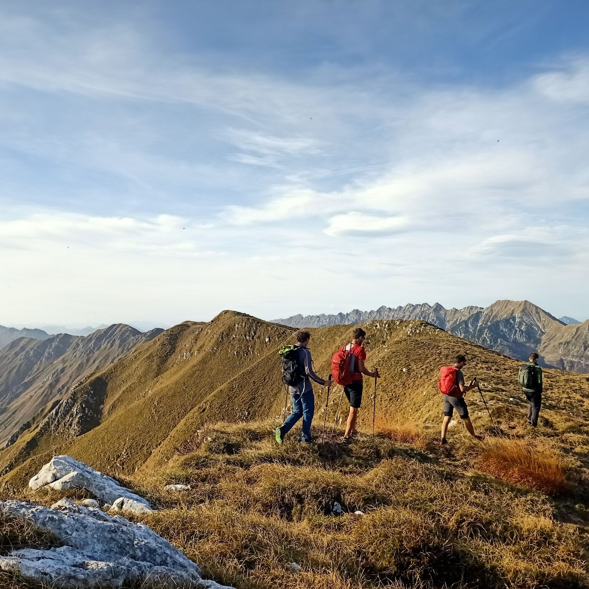
From the pass, descend briefly along the road eastward then take the CAI 712 trail which climbs steeply the northern ridge. Pay attention in the first meters due to some fallen trees, being careful not to lose the trail. The path ascends the slope with some exposed sections and allows us to quickly gain altitude among the beeches. After the Montemaggiore mountain huts, you finally reach the ridge of Gran Monte and head decisively west taking the CAI 742 trail which runs along the entire ridge line to the junction with the very steep trail coming up from Cornappo, while we will descend towards the ANA Monteaperta hut along the CAI 711a trail. From the hut continue descending quickly until crossing the CAI 711 and proceed eastward regaining Passo Tanamea.
Tak
Tak
Tak
Normal hiking difficulty depending on the season.
Hike not to be undertaken in uncertain weather (especially the upper first part has steep terrain and exposed passages that can become very slippery when raining).
There are no water sources along the loop; in particularly hot days, consider carrying an adequate amount of water resources with you.
To reach Tarcento, you can take state road no. 356 or, alternatively, turn right off state road no. 13 Pontebbana, at Tricesimo. Once you reach the town center, continue right passing the bridge over the Torre river, then turn left onto state road no. 646, which leads along the upper Torre valley. The road winds through the valley, making a wide curve eastward to follow the course of the Mea stream. Continue until you reach the pass of Passo Tanamea, where there is a large clearing on the right at an altitude of 851 meters, ideal for parking.
Passo Tanamea is served by a bus service.
Small parking lot near the former bar at Passo Tanamea.
At the ANA Monteaperta hut, currently unmanaged, it is possible to stay overnight independently if you want to split the hike into two stages.
Popularne wycieczki w okolicy
- 4,8
FVG1 Trasa rowerowa Alpe Adria (C100)
średniKolarstwo długodystansowe 179,3 km - 4,0
Boka Wasserfall
średniWędrówka 1,94 km - 4,8
Tarvisio - Gorizia: od gór do winnic (CX01)
średniKolarstwo długodystansowe 155,8 km - 5,0
Prestreljenik Window (2390 m) – dramatic view of the Western Julian Alps
średniWycieczka narciarska 14,5 km - 3,6
Sella Robon
Wędrówka 12,2 km - 5,0
Monte Stella, między małymi wioskami i rozległymi widokami
światłoWędrówka 9,18 km - 4,3
Stol Nord
średniMountainbike 37 km - 4,0
Góra Cuarnan
światłoWędrówka 4,81 km - 3,0
Curtissons
Wycieczka narciarska 8,50 km - 5,0
Slap Virje (Wasserfall)
światłoWędrówka 0,86 km
Wędrówki i tropienie


Nie przegap ofert i inspiracji na następne wakacje
Twój adres e-mail została dodana do listy mailingowej.