


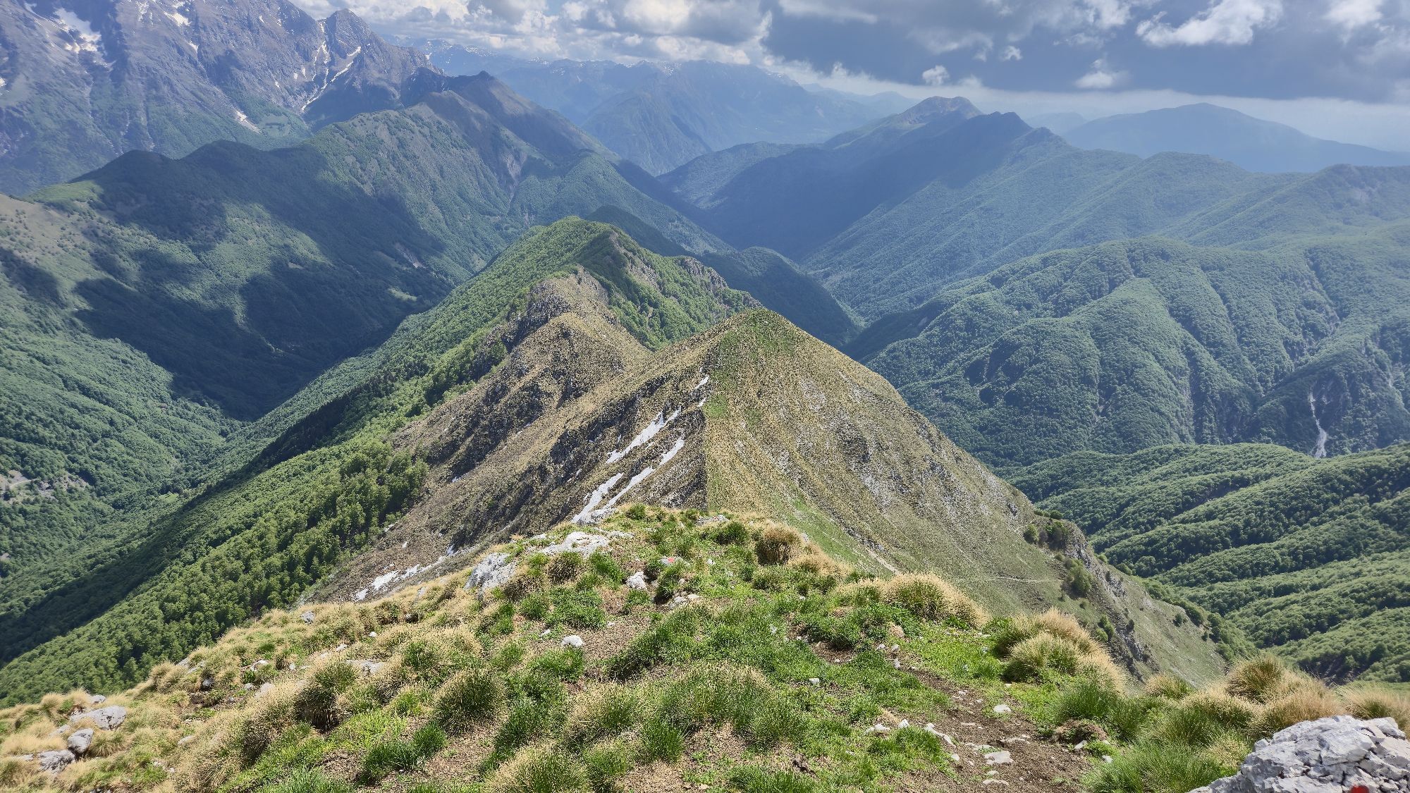
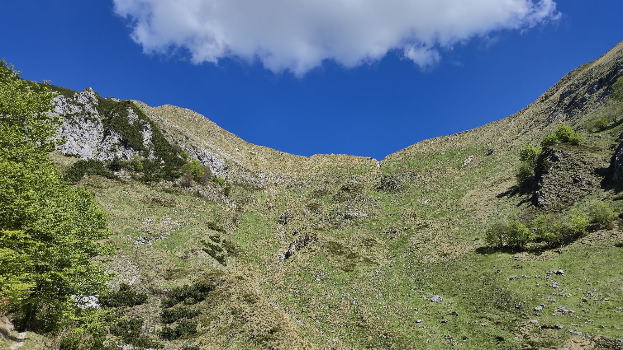
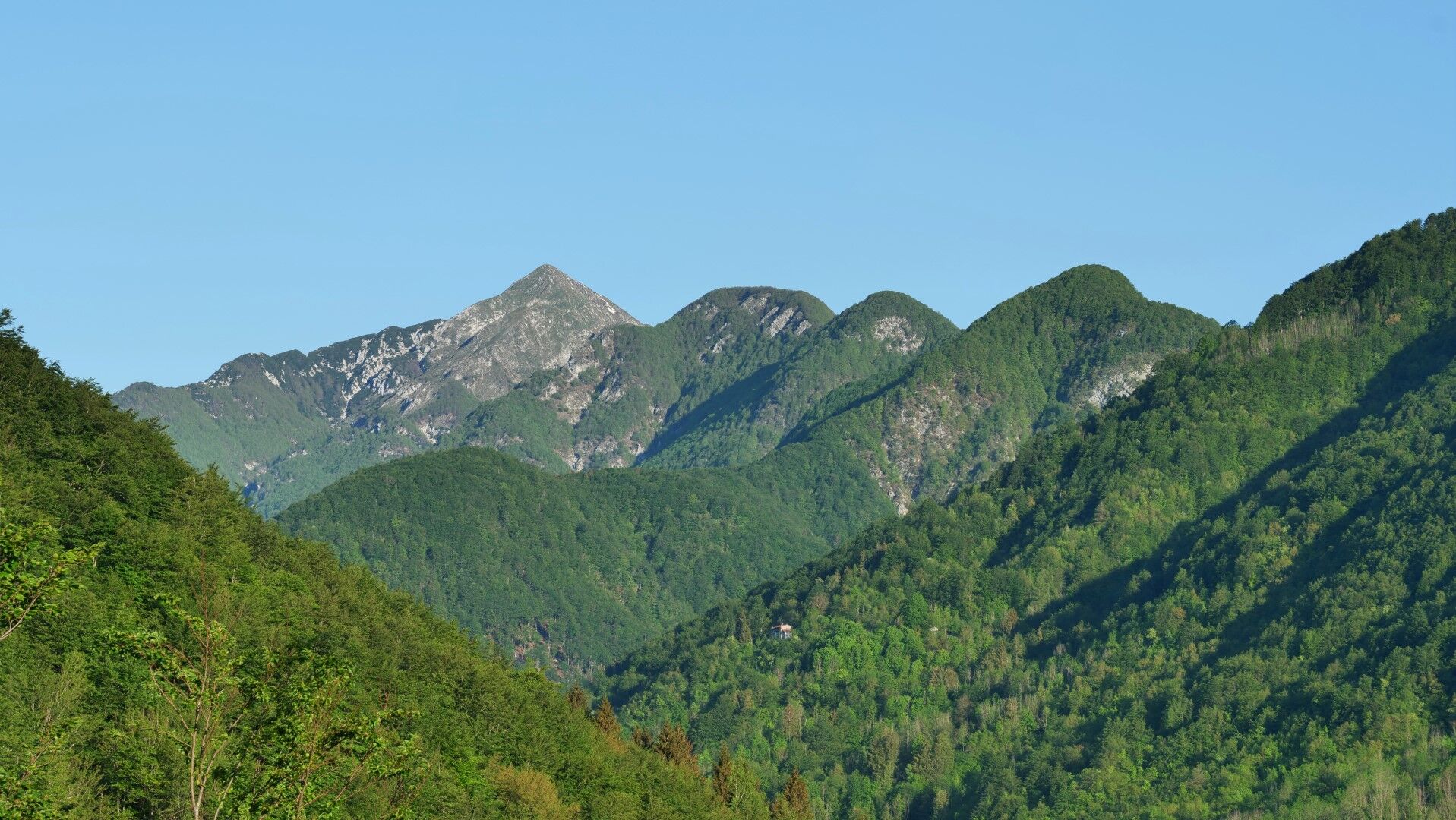
Zajavor / Monte Zaiavor (1815 m) from the Tam na Meji / Tanamea saddle
The Muzcev ridge / Cime del Monte Musi, is a high, steep, and rugged mountain barrier that separates the Resia valley from the upper Terska valley. The ridge itself is only accessible to experienced mountaineers,...
The Muzcev ridge / Cime del Monte Musi, is a high, steep, and rugged mountain barrier that separates the Resia valley from the upper Terska valley. The ridge itself is only accessible to experienced mountaineers, but marked paths lead to the summits of Zajavor / Monte Zaiavor (1815 m), Veliki Rob / Monte Musi (1869 m), and Kadin / Monte Cadin (1816 m) from both sides.
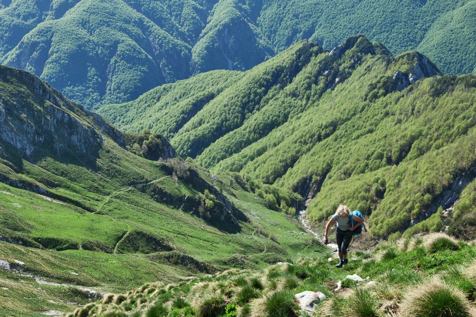
Do not be misled by the low altitudes. The Muzcev area is steep and challenging mountain terrain. The valleys on both sides are deep and have large altitude differences.
The path to Zajavor, which ends the Muzcev ridge on the eastern side, is still the easiest entrance into this wild world. We can ascend to the summit from both the southern side (Tam na Meji) and the northern side (Karnica saddle).
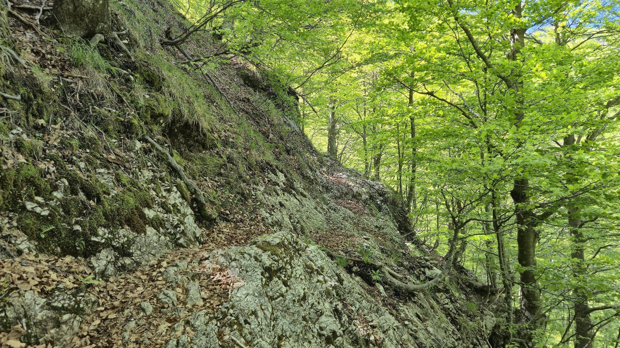
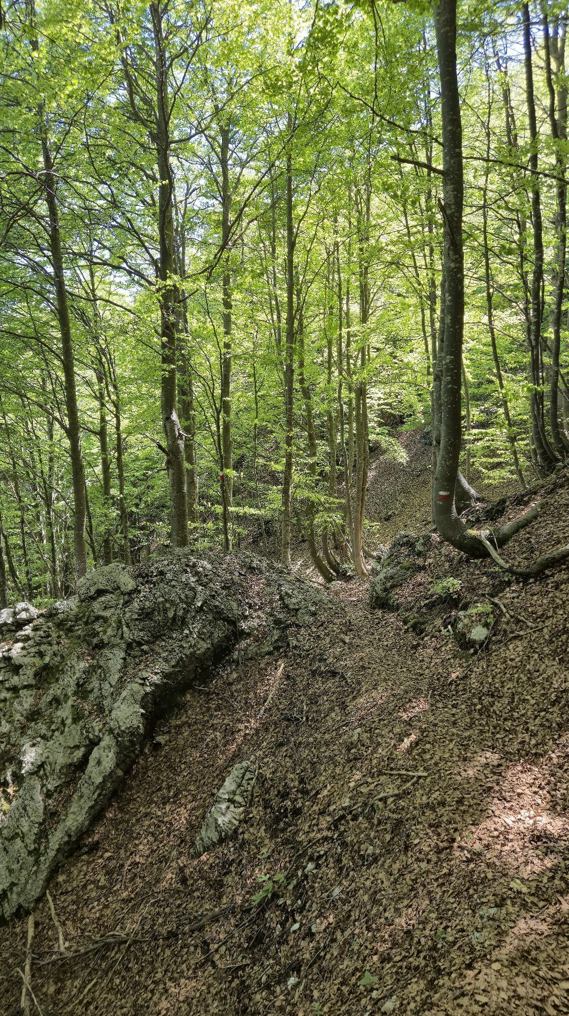
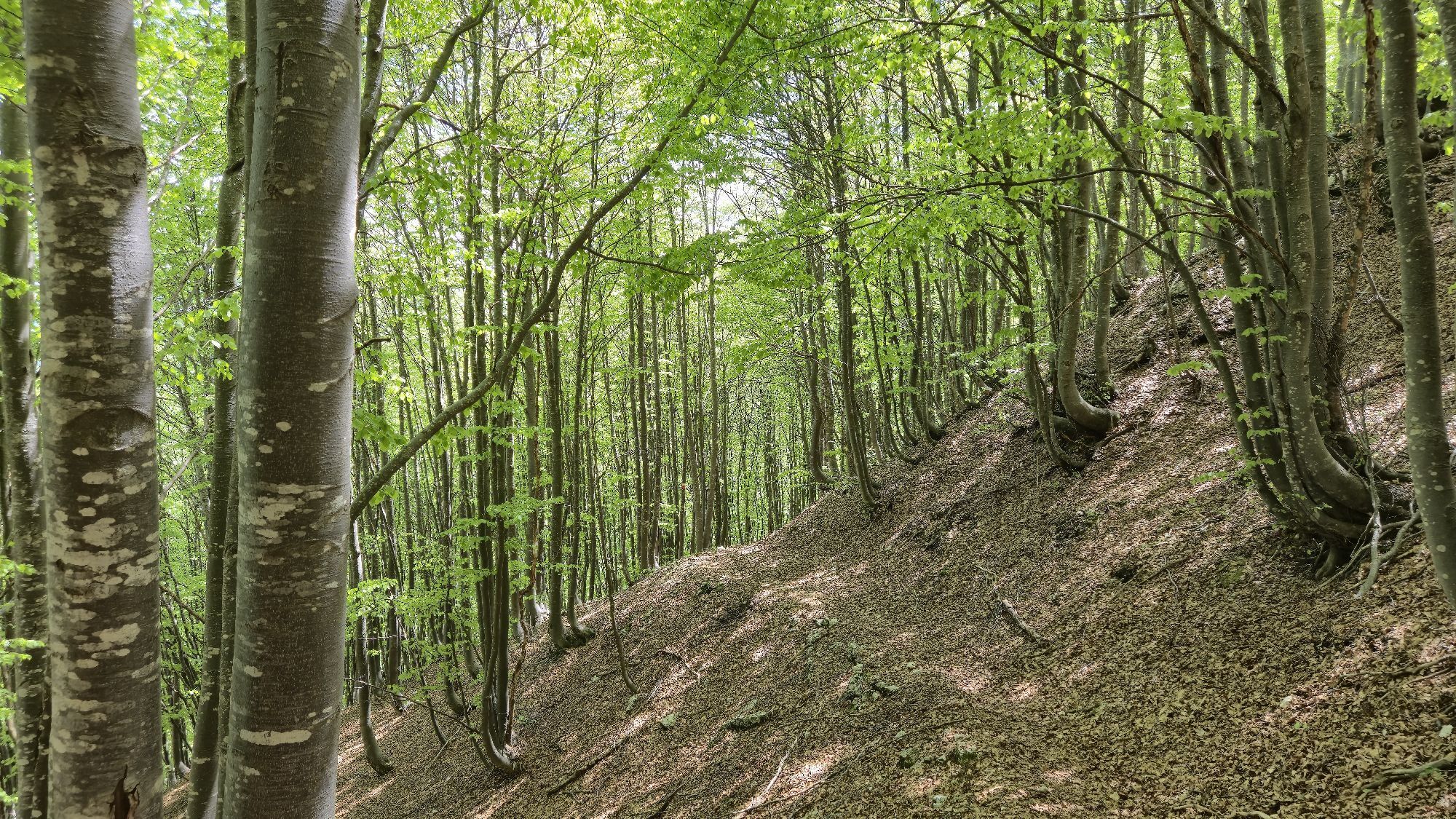
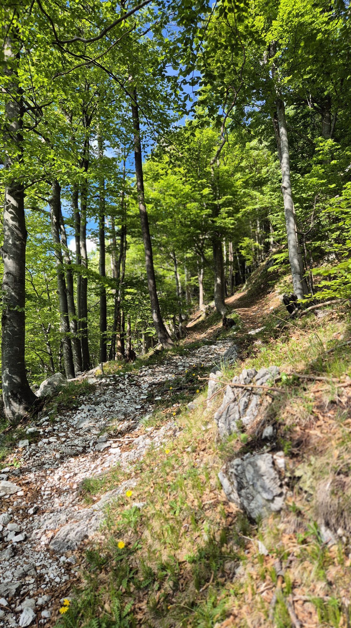
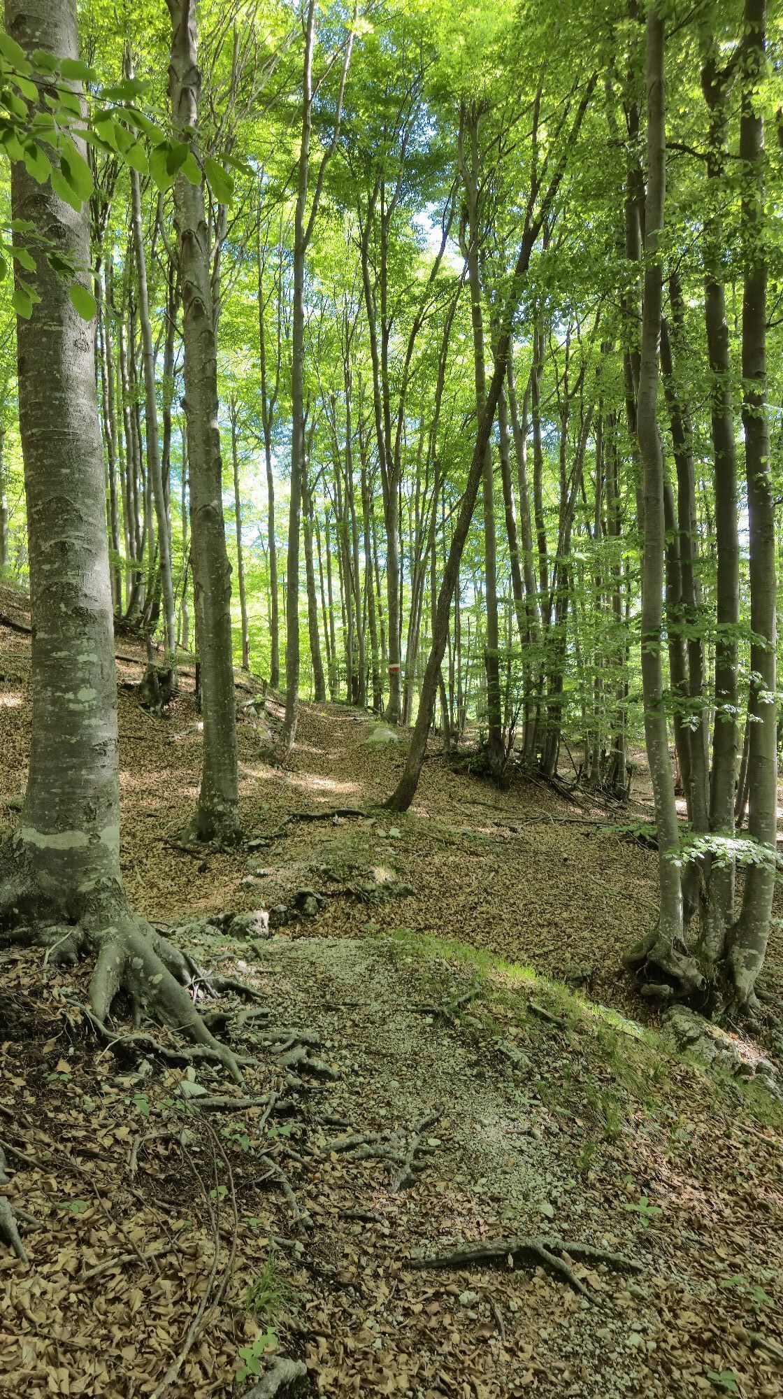
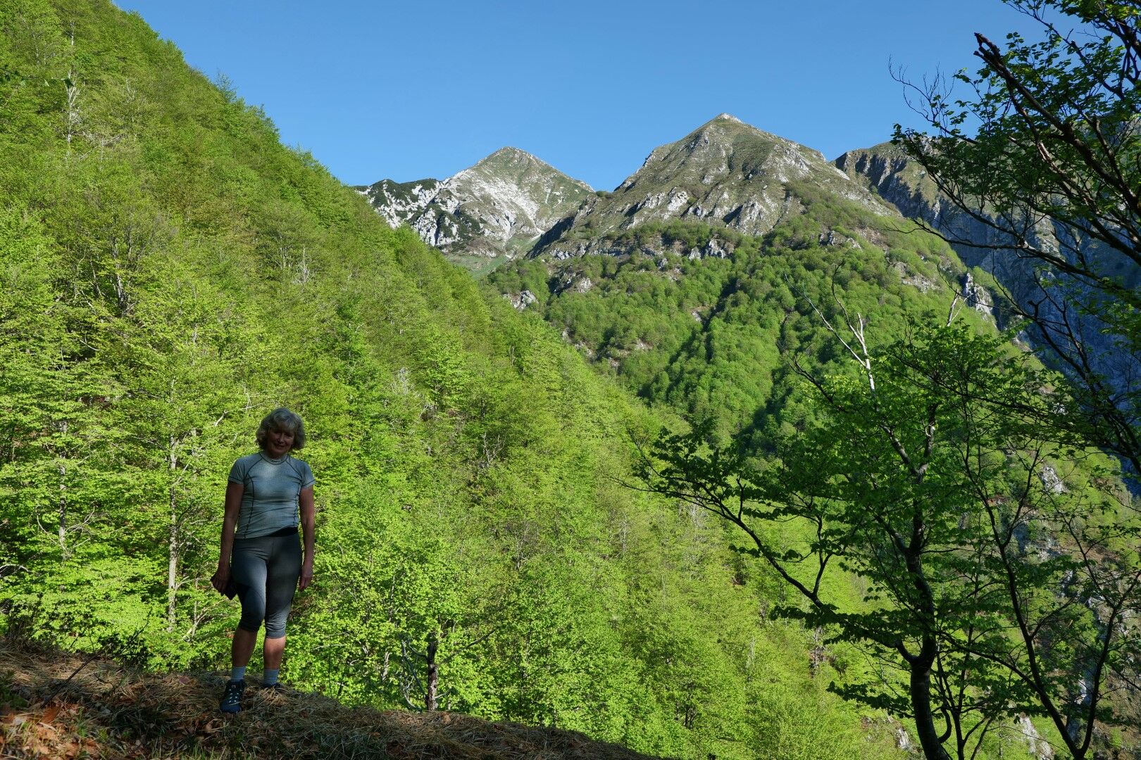
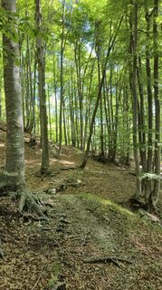
With our description, we follow the southern approach. From the Tam na Meji saddle, we climb through beautiful beech forests to the Zajavor pasture and further on to the ridge that leads us to the mountain summit.
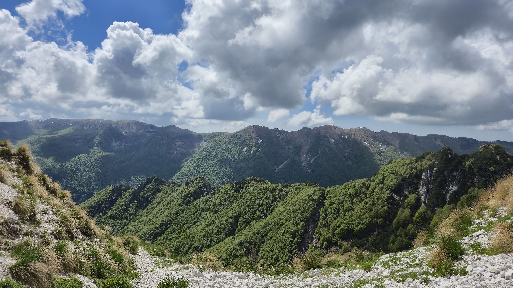
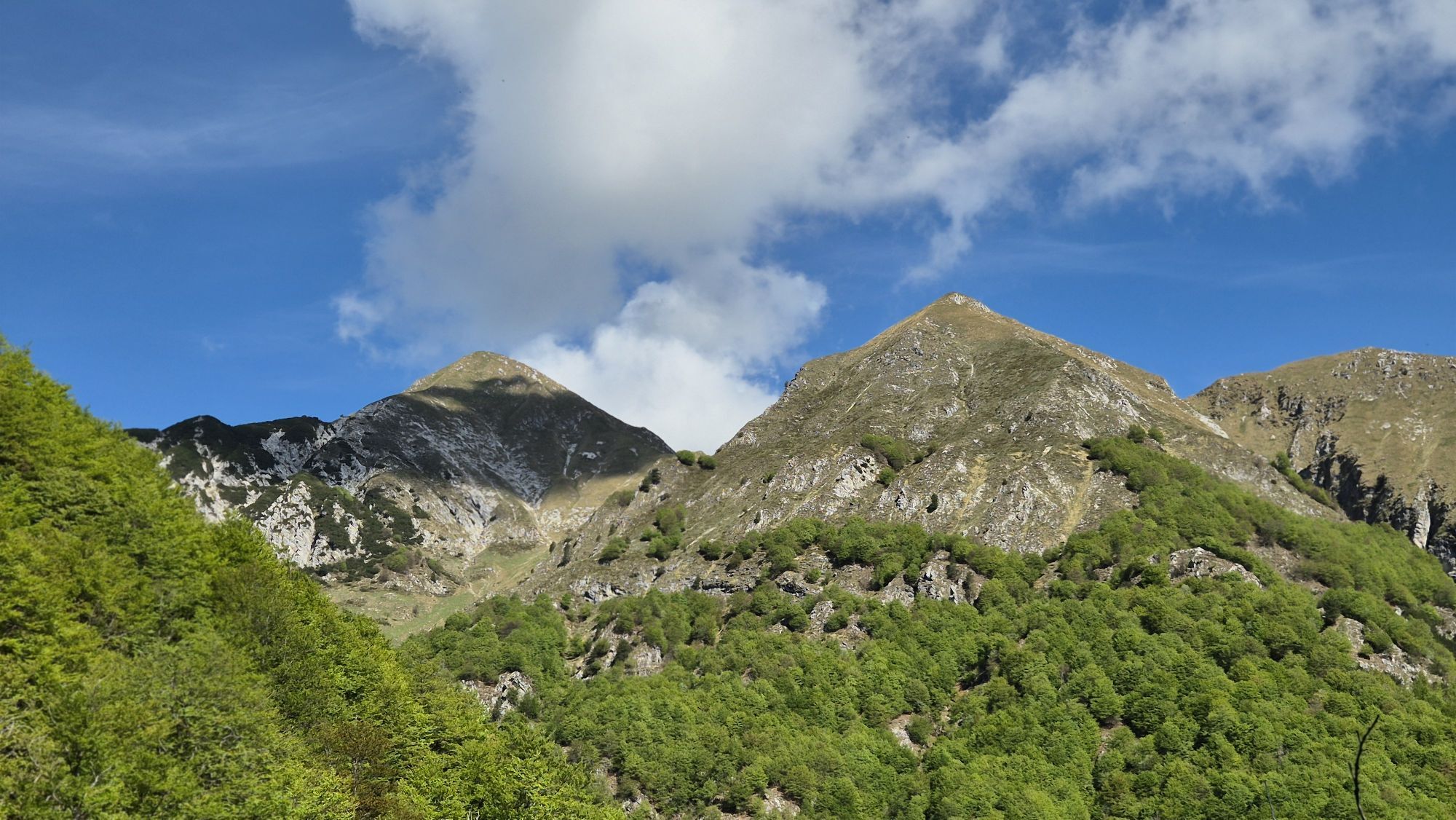
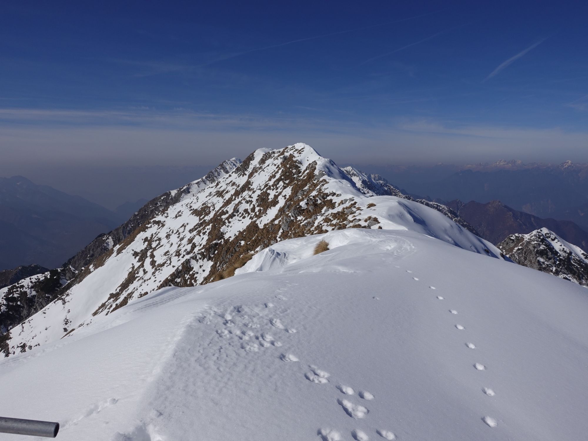
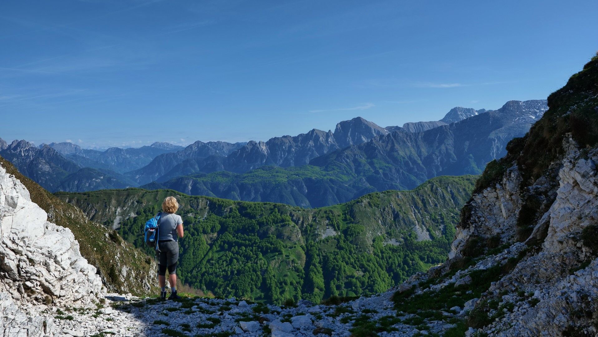
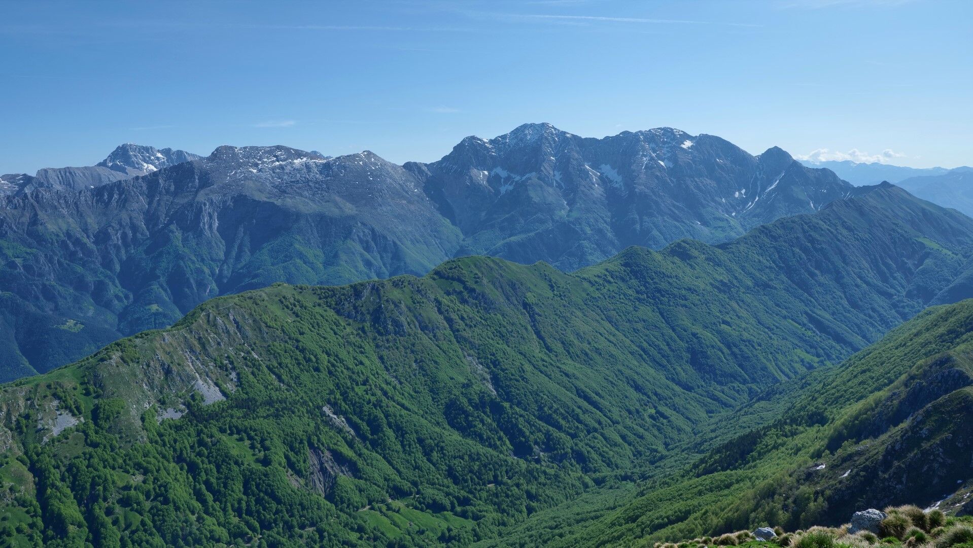
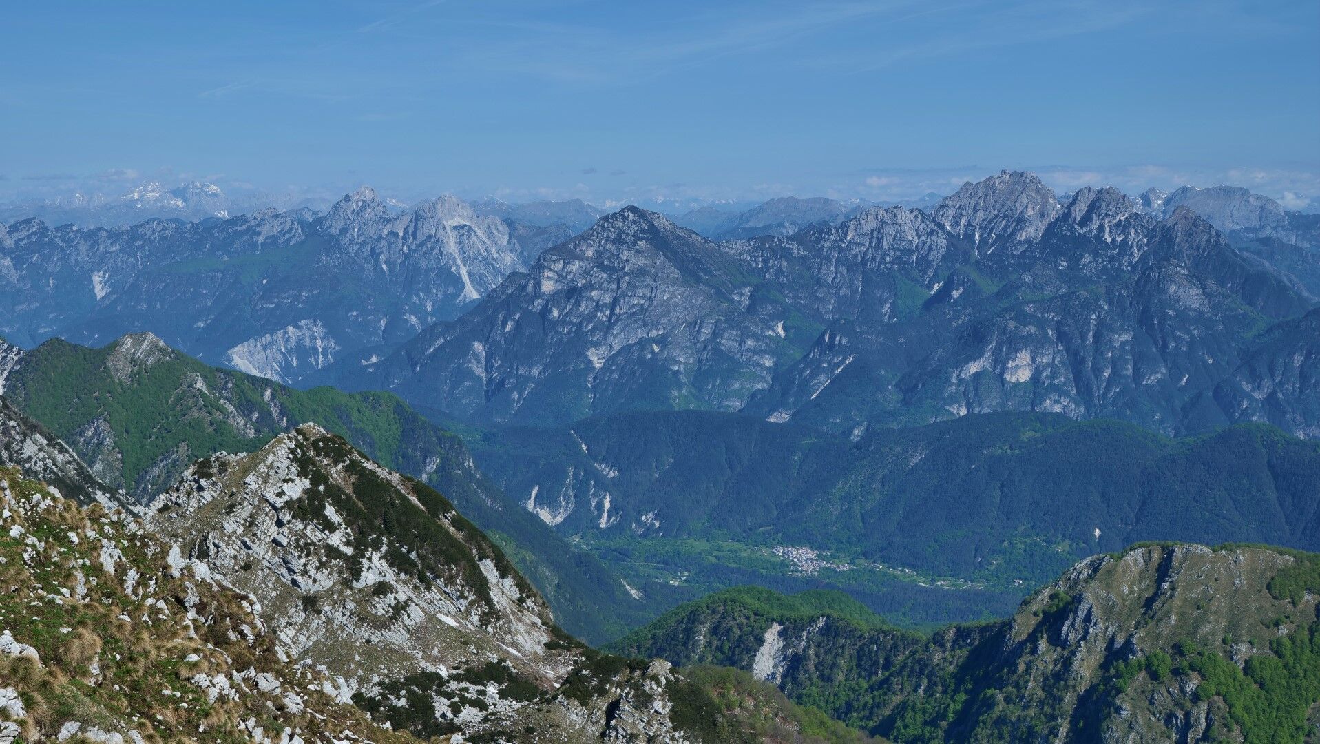
Zajavor, like most pre-Alpine peaks, is an exceptional viewpoint. Right in front of us, above the Resia valley, we see the high peaks of Kanin, to the west stretch the ridges of the Carnic Alps and the Dolomites, to the east the view beyond the UÄja and SoÄa valleys reaches to Krn, and on the southern side, through the extended ridge of Stol and Viškorška gora / Gran Monte, one can gaze into the Po Plain and towards the Adriatic Sea.
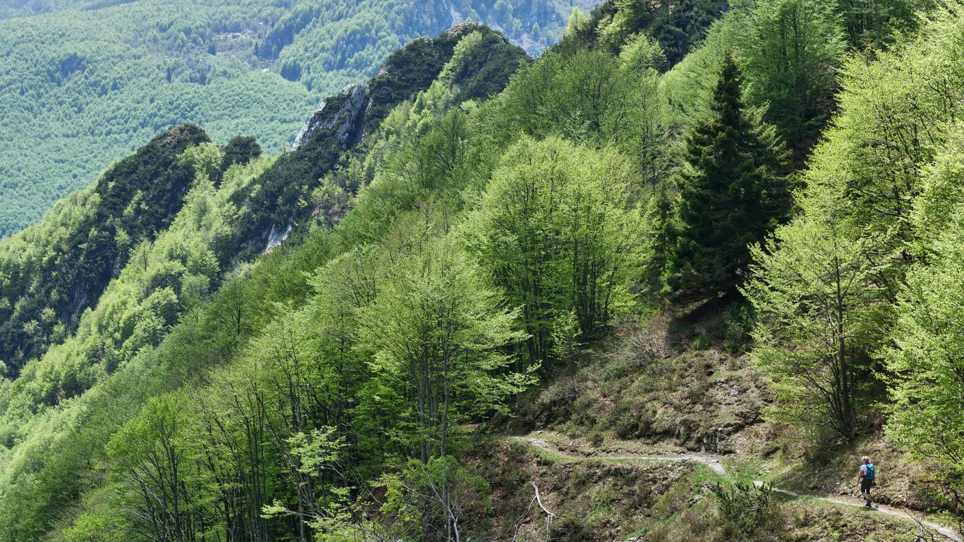
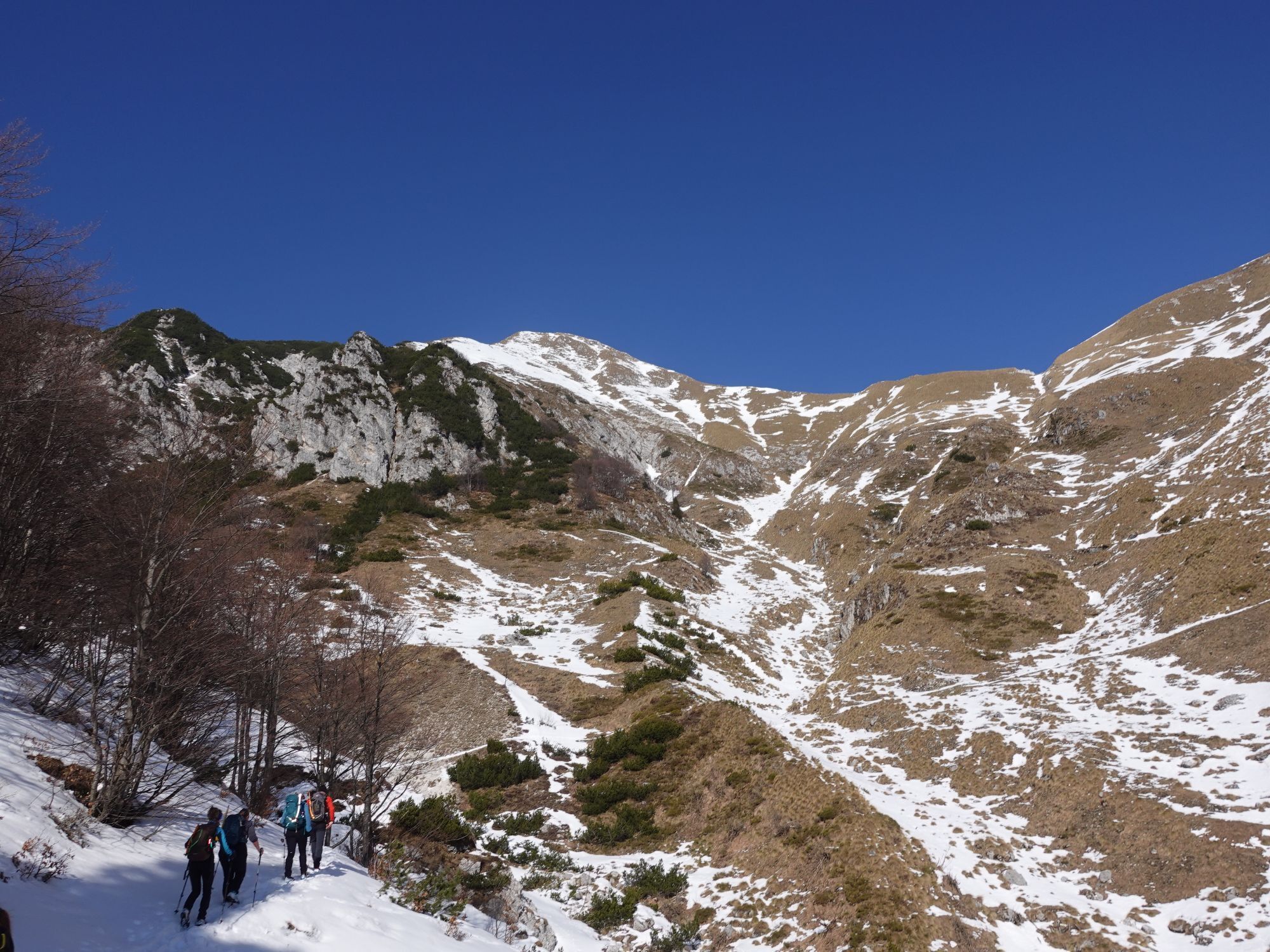
Our route to Zajavor (CAI 727) branches off the road just under 100 m further (towards the west) from the parking lot near the former inn (851 m). We follow well-trodden paths through the forest first on the south side, then on the eastern slopes.
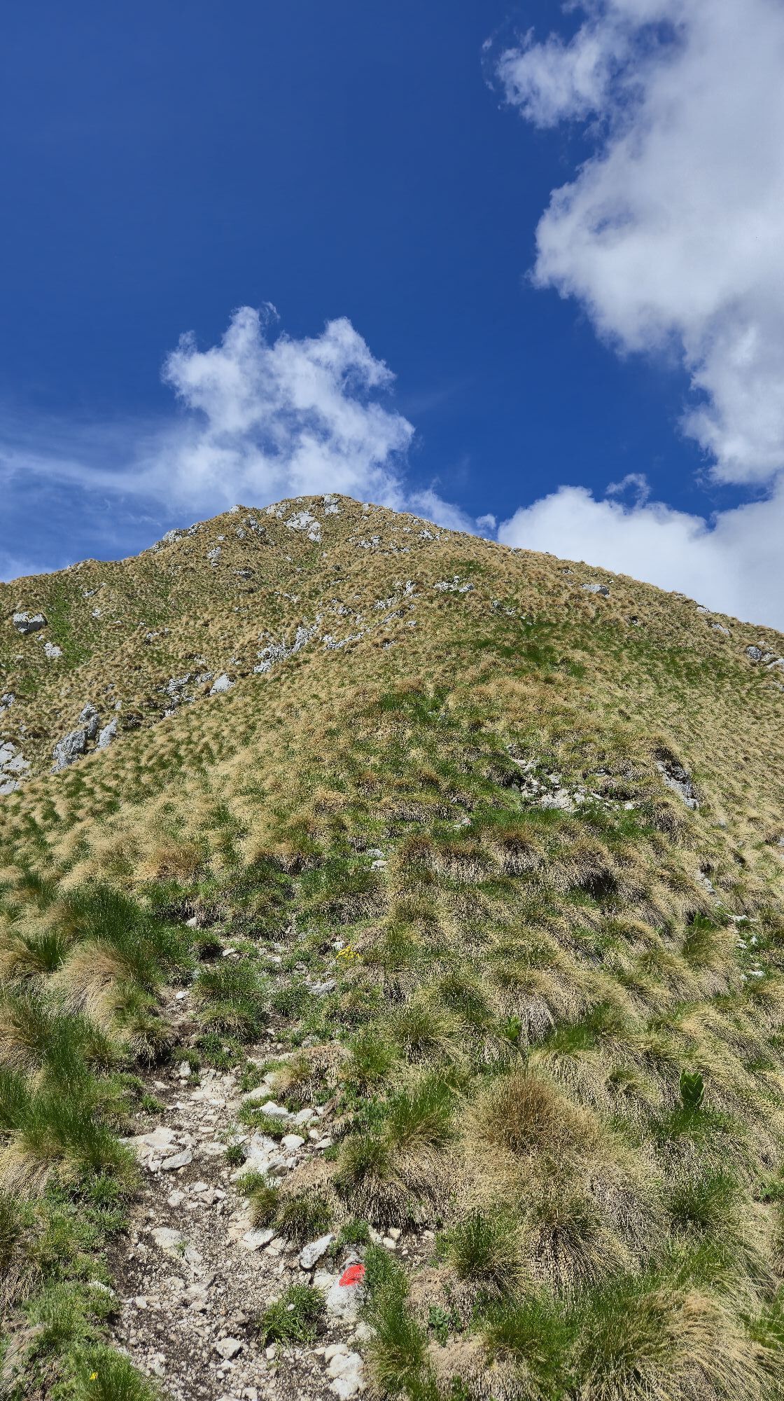
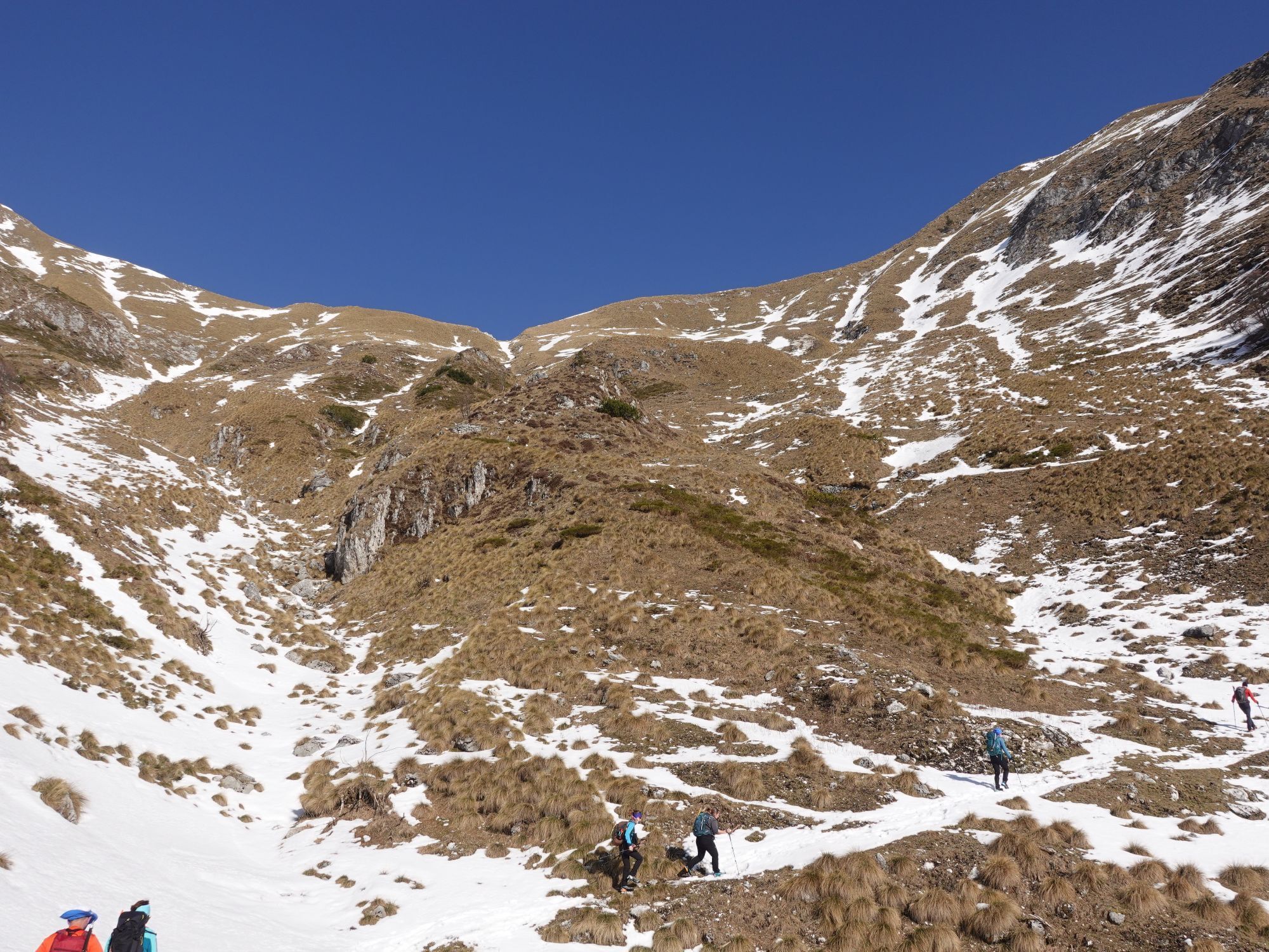
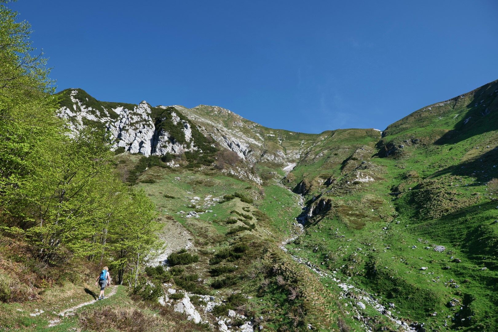
We exit the forest into the head of the valley, where the Zajavor mountain pasture (1399 m) once stood. Across the open slopes of the pasture, we ascend to the Zajavor / Boschetta di Zajavor saddle (1608 m).
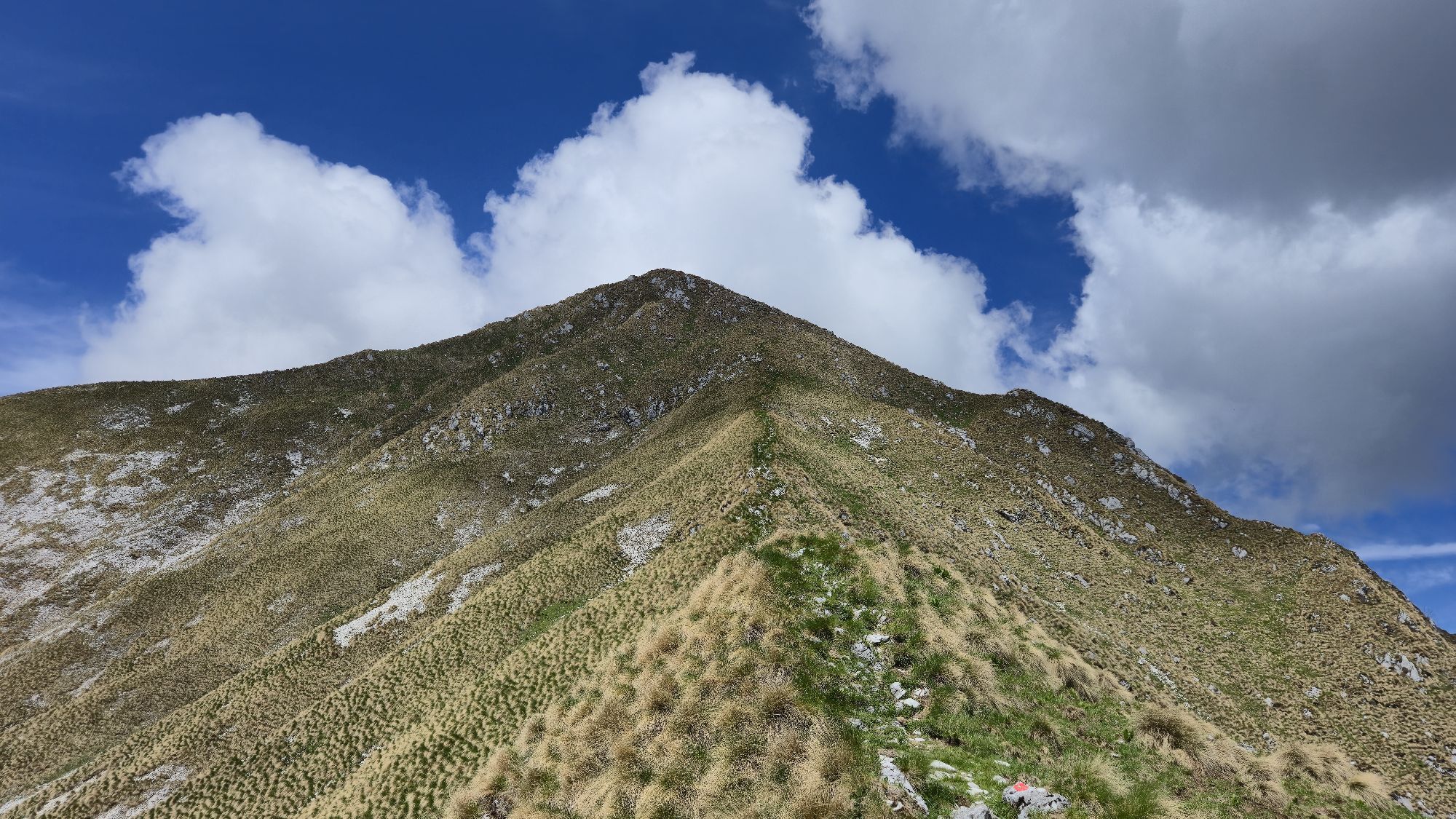
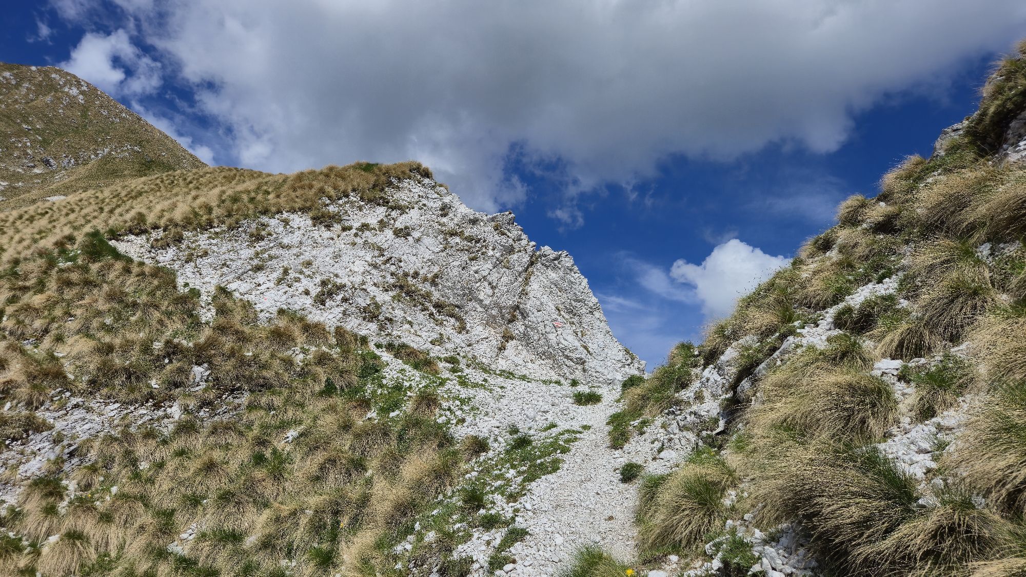
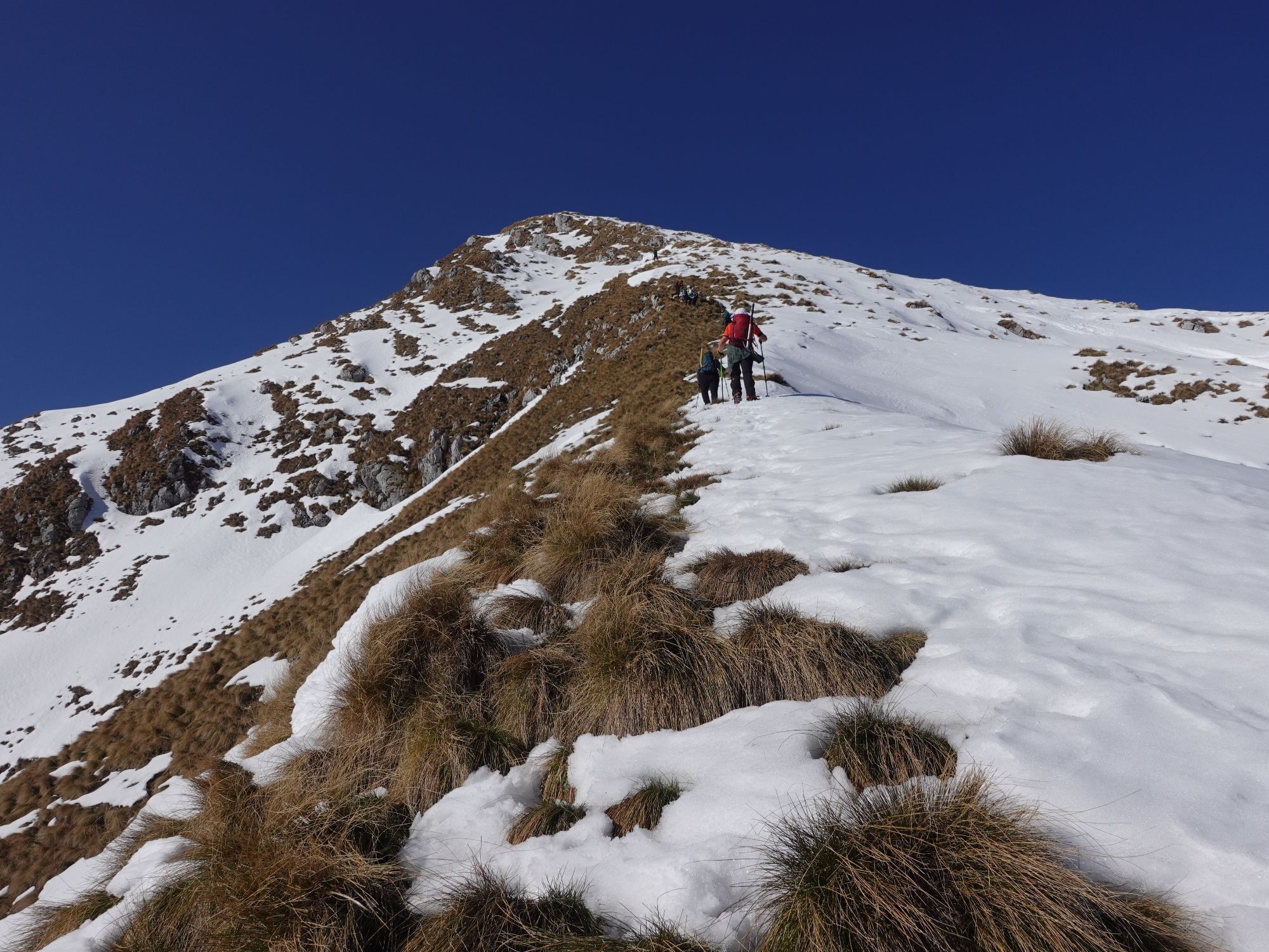
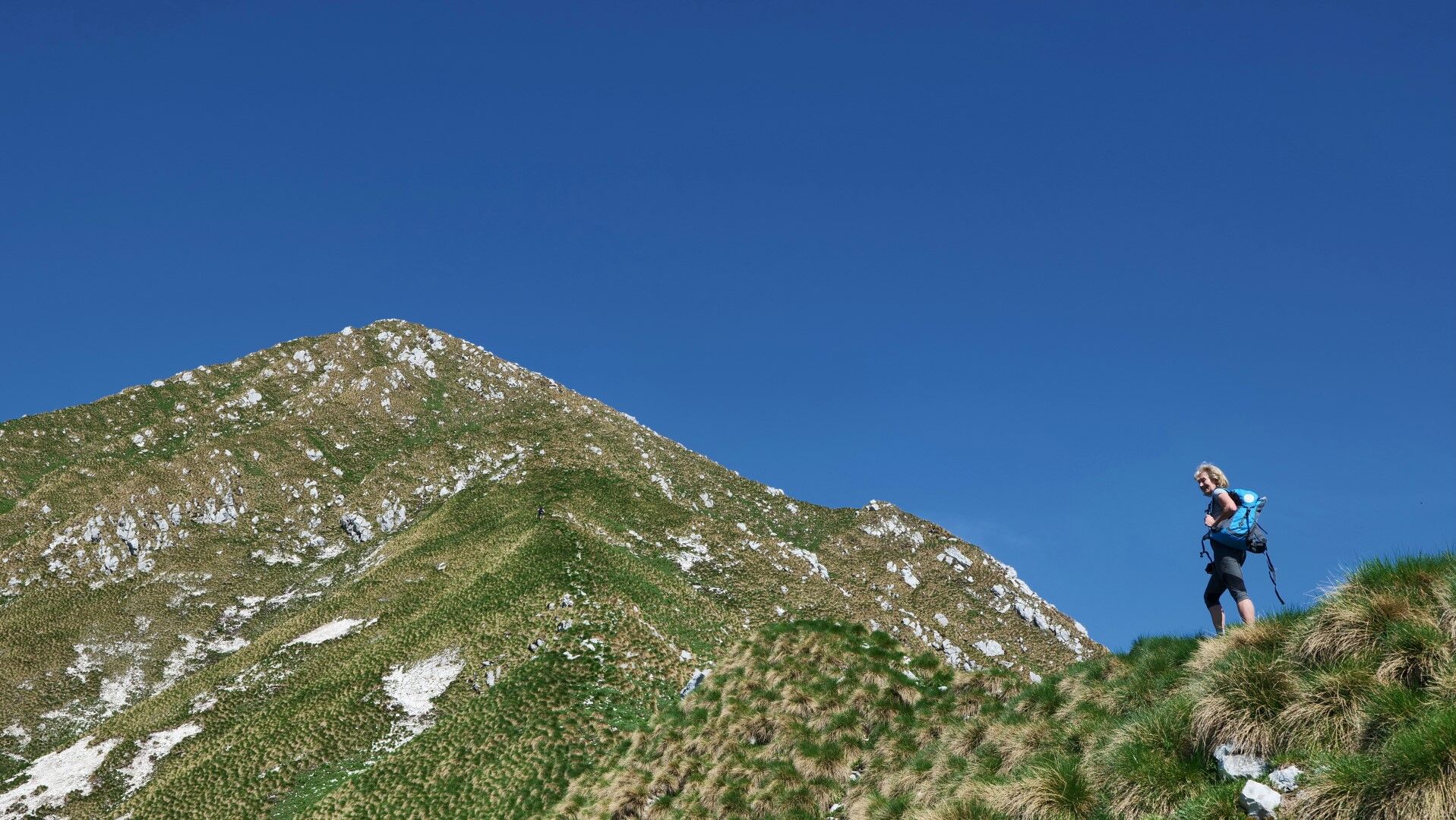
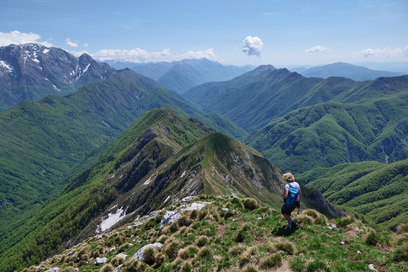
Path 272 descends from the saddle to the other side to the Krnica / Sella Carnizza saddle (1086 m), but we continue along the scenic and increasingly steep grassy ridge all the way to the mountain summit - Zajavor / Monte Zaiavor (1815 m).
We return by the same route.
Tak
Tak
Normal equipment for mountain ascents: quality hiking boots, long pants, three layers of clothing including a windbreaker; backpack, at least one liter of drink per person, sun protection, first aid.
The final selection is, of course, adapted to the season.
For the most part, the path is easy. The steep section requiring caution is only the final part along the ridge to the summit. When wet, this part can become very slippery and dangerous.
From the Italian side: past Äenta / Tarcento further up the Tera / Torre valley. At the source of the Tera under the steep slopes of Muscev / Musi, the road turns east. We continue along the valley about 7 km more to the Tam na Meji / Passo di Tanamea pass (851 m). From Äenta it is 20 km.
From the Slovenian side: through Žaga (road Tolmin - Bovec) we continue through the UÄja valley towards Äenta / Tarcento. Over the former border crossing, we descend to the river and continue further to the Tam na Meji / Passo di Tanamea pass (851 m). From Žaga, it is 13.2 km.
There is no public transport.
At the abandoned inn on the Tam na Meji / Tanamea pass (851 m)
The route can be enlivened with a visit to the Tera / Torre spring and nearby Äenta / Tarcento.
Visiting Zajavor is most recommended in fresh spring or colorful autumn days.

Popularne wycieczki w okolicy
-
4,3
Cima di Terra Rossa
Wędrówka 4,90 km -
4,8
FVG1 Trasa rowerowa Alpe Adria (C100)
średniKolarstwo długodystansowe 179,3 km -
4,0
Boka Wasserfall
średniWędrówka 1,94 km -
4,8
Tarvisio - Gorizia: od gór do winnic (CX01)
średniKolarstwo długodystansowe 155,8 km -
5,0
Prestreljenik Window (2390 m) – dramatic view of the Western Julian Alps
średniWycieczka narciarska 14,5 km -
3,6
Sella Robon
Wędrówka 12,2 km -
5,0
Cima di Terrarossa
średniWycieczka wysokogórska 9,35 km -
5,0
Monte Stella, między małymi wioskami i rozległymi widokami
światłoWędrówka 9,18 km -
4,3
Stol Nord
średniMountainbike 37 km -
4,5
Loop of Val Venzonassa
średniWędrówka 9,74 km

Wędrówki i tropienie


Nie przegap ofert i inspiracji na następne wakacje
Twój adres e-mail została dodana do listy mailingowej.