







Jof di Somdogna


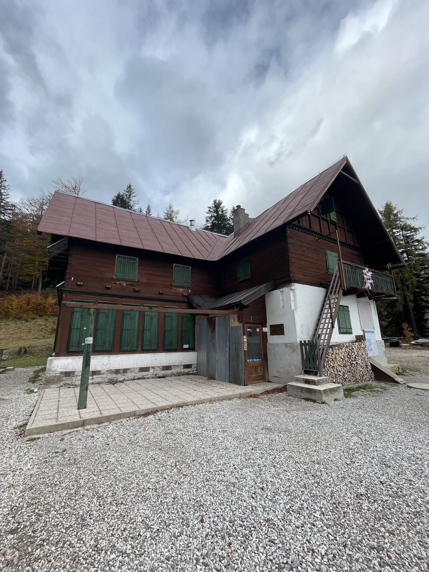
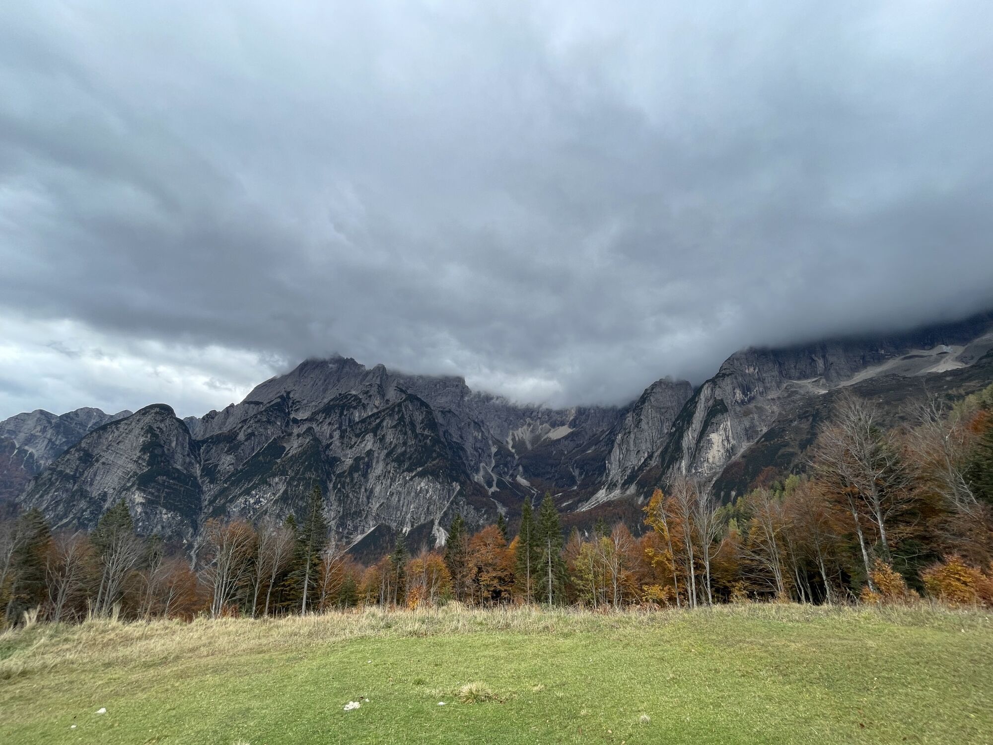
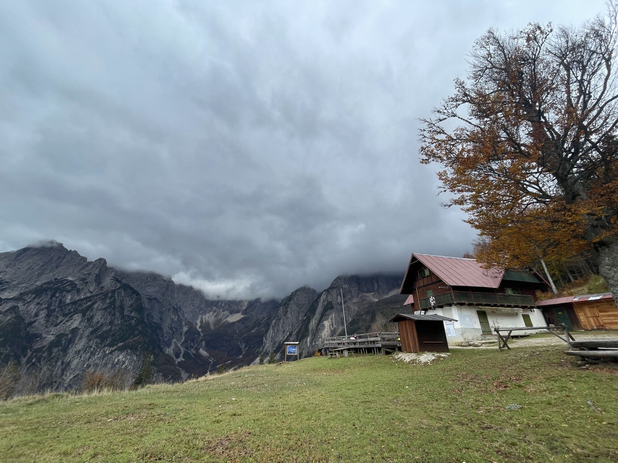
From near the Malga Saisera parking (paid in the summer period) circle around the small chapel dedicated to the memory of a local young woman, Laura Florit, and take the trail marked Cai 611 which climbs...
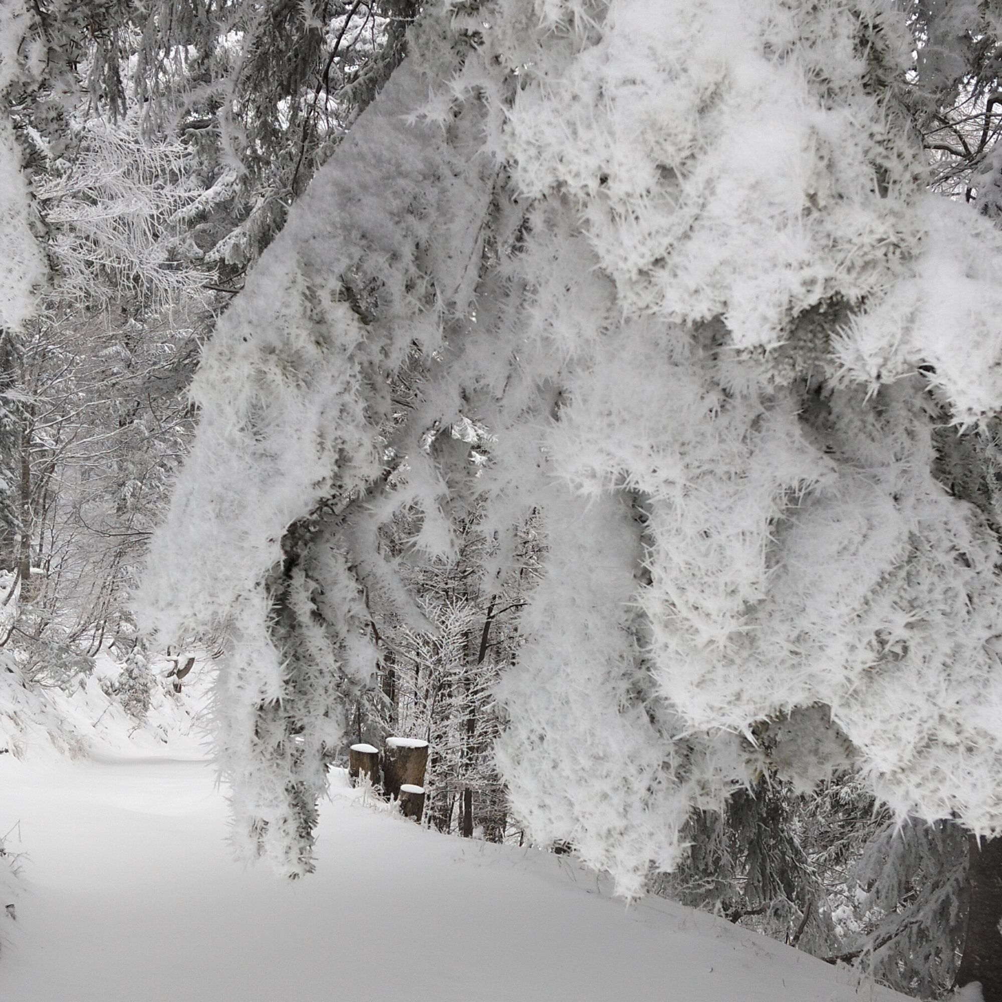
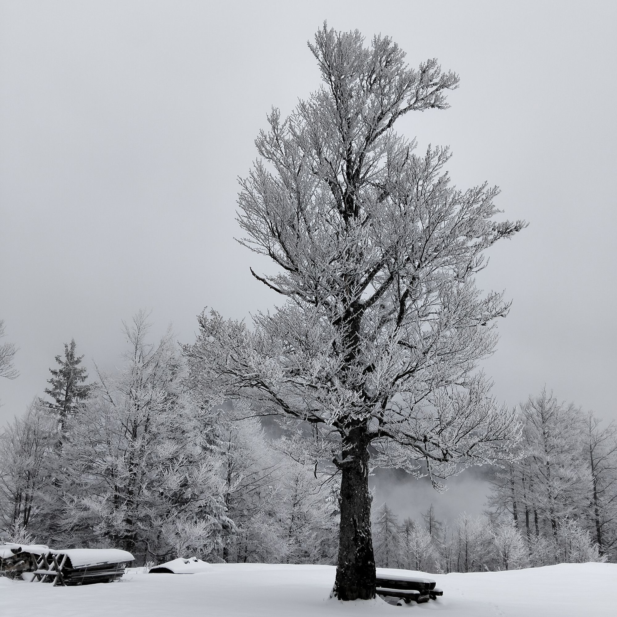
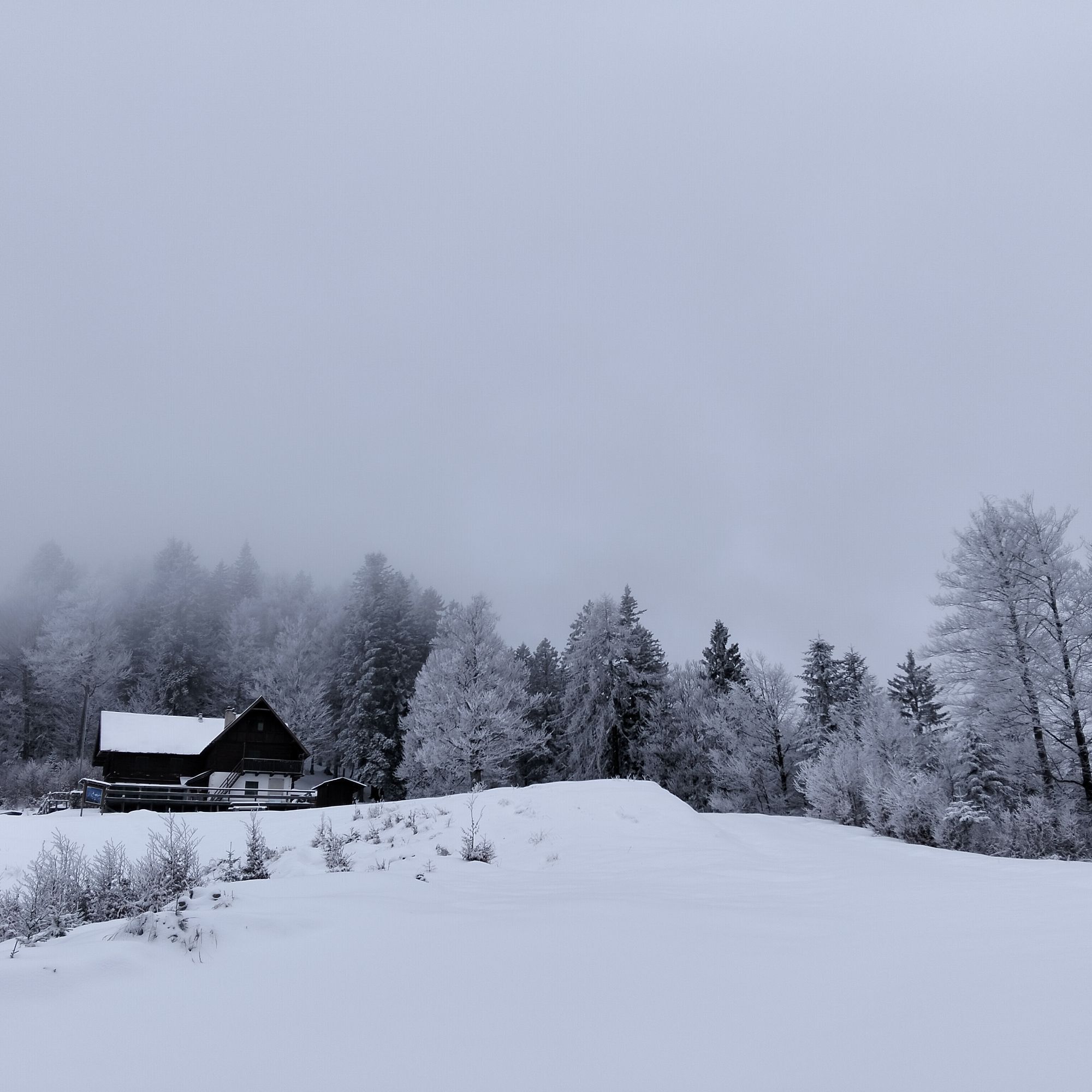
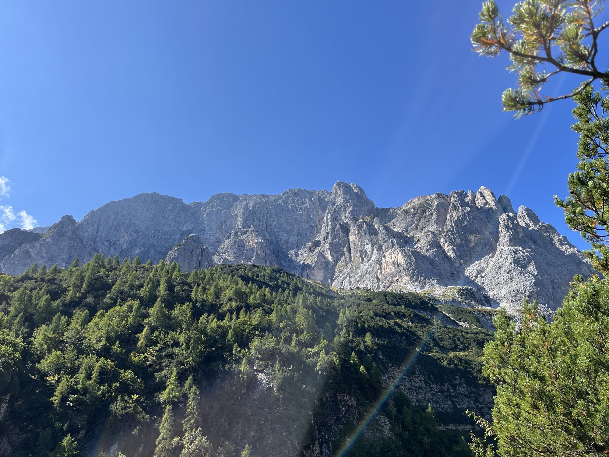
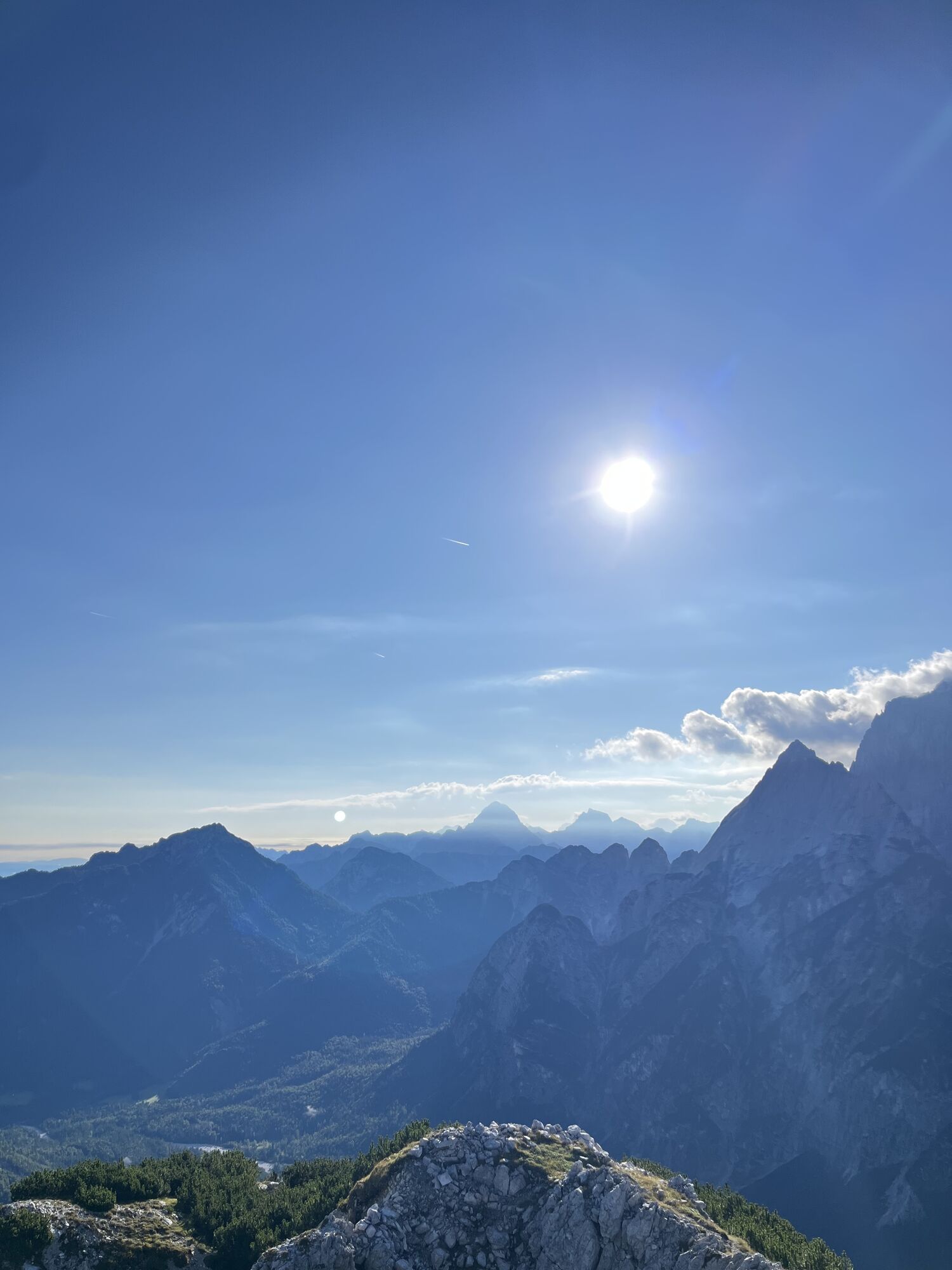
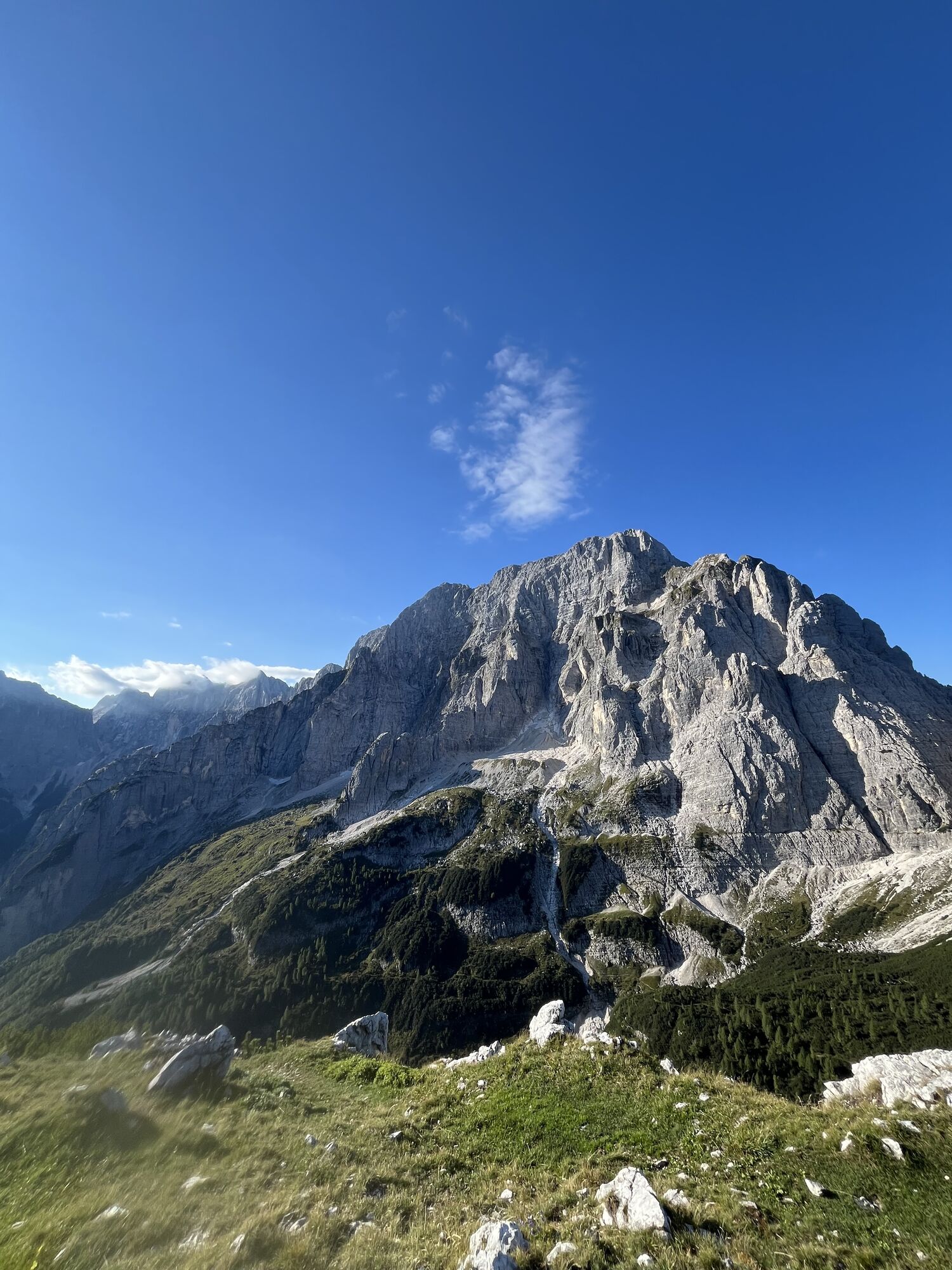
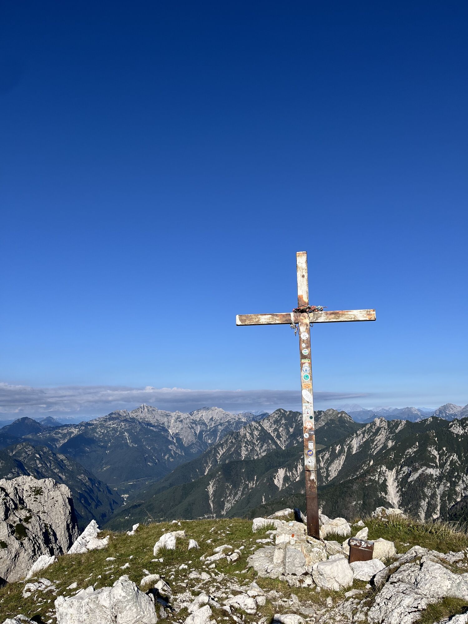
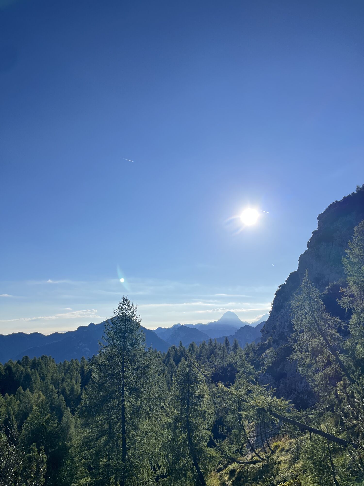
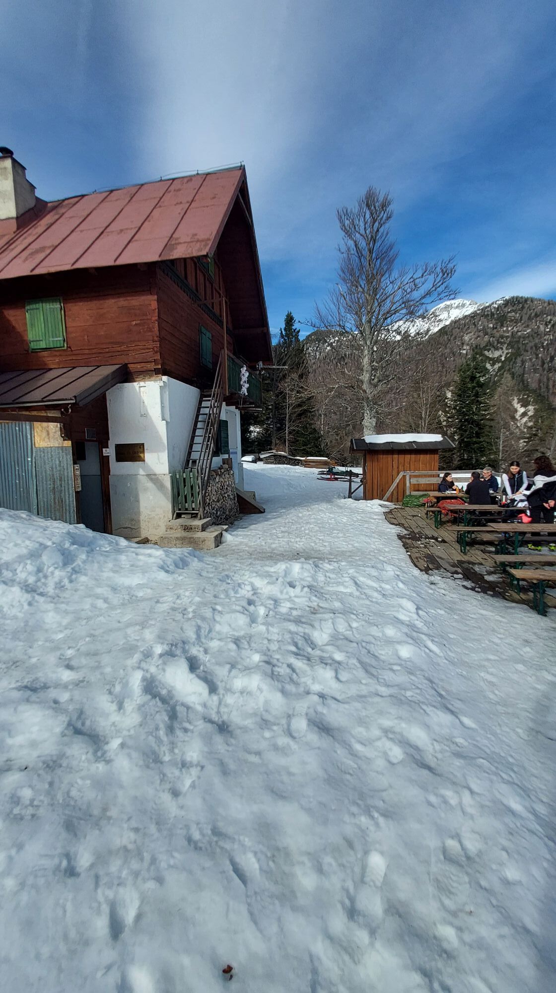
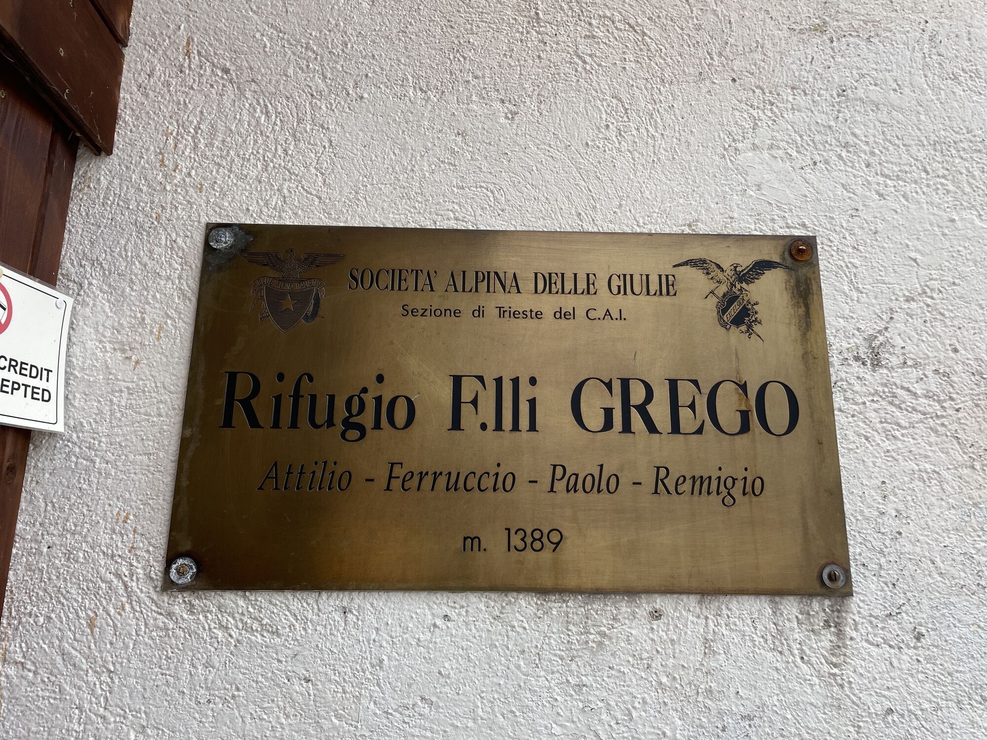
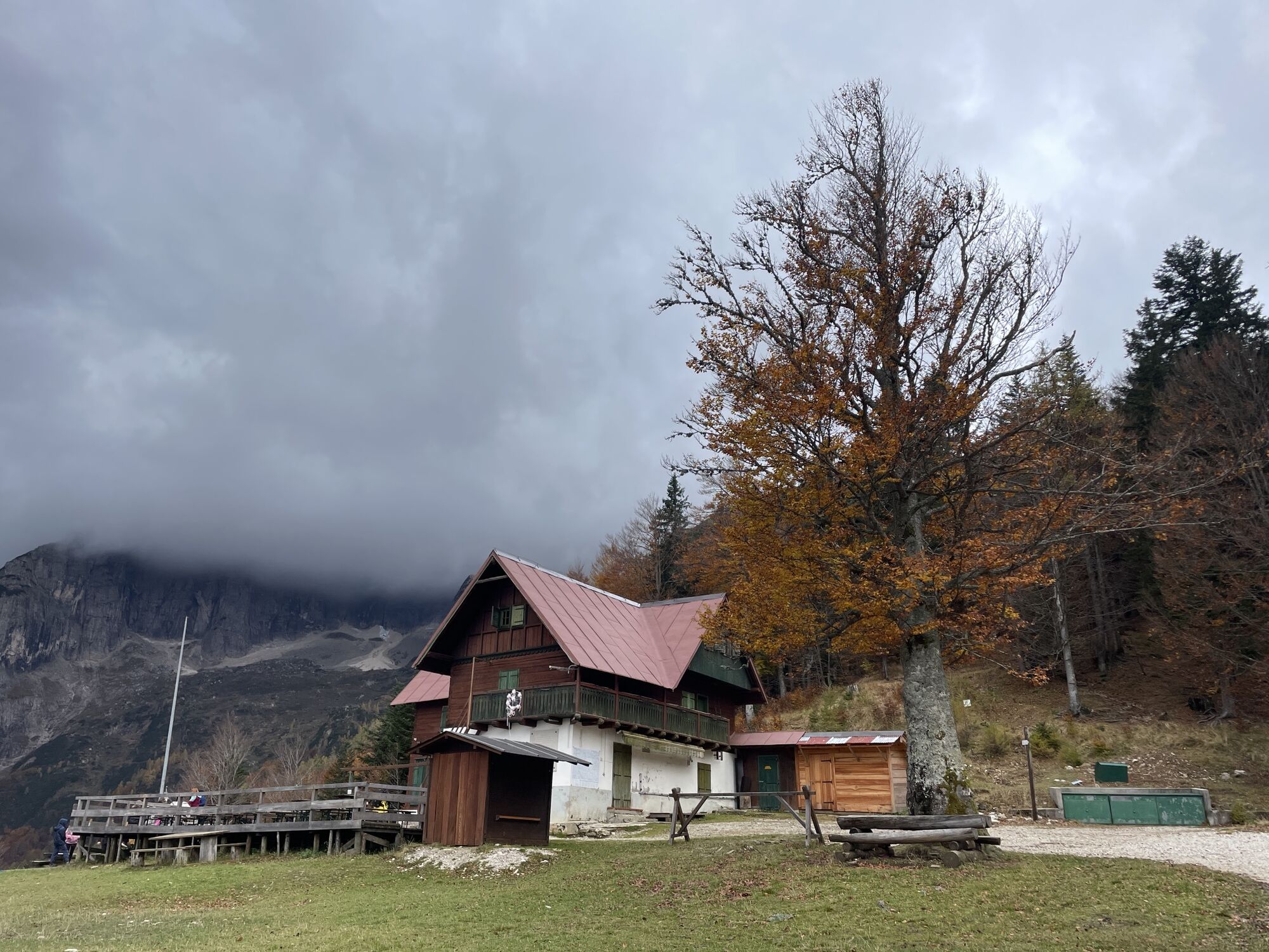
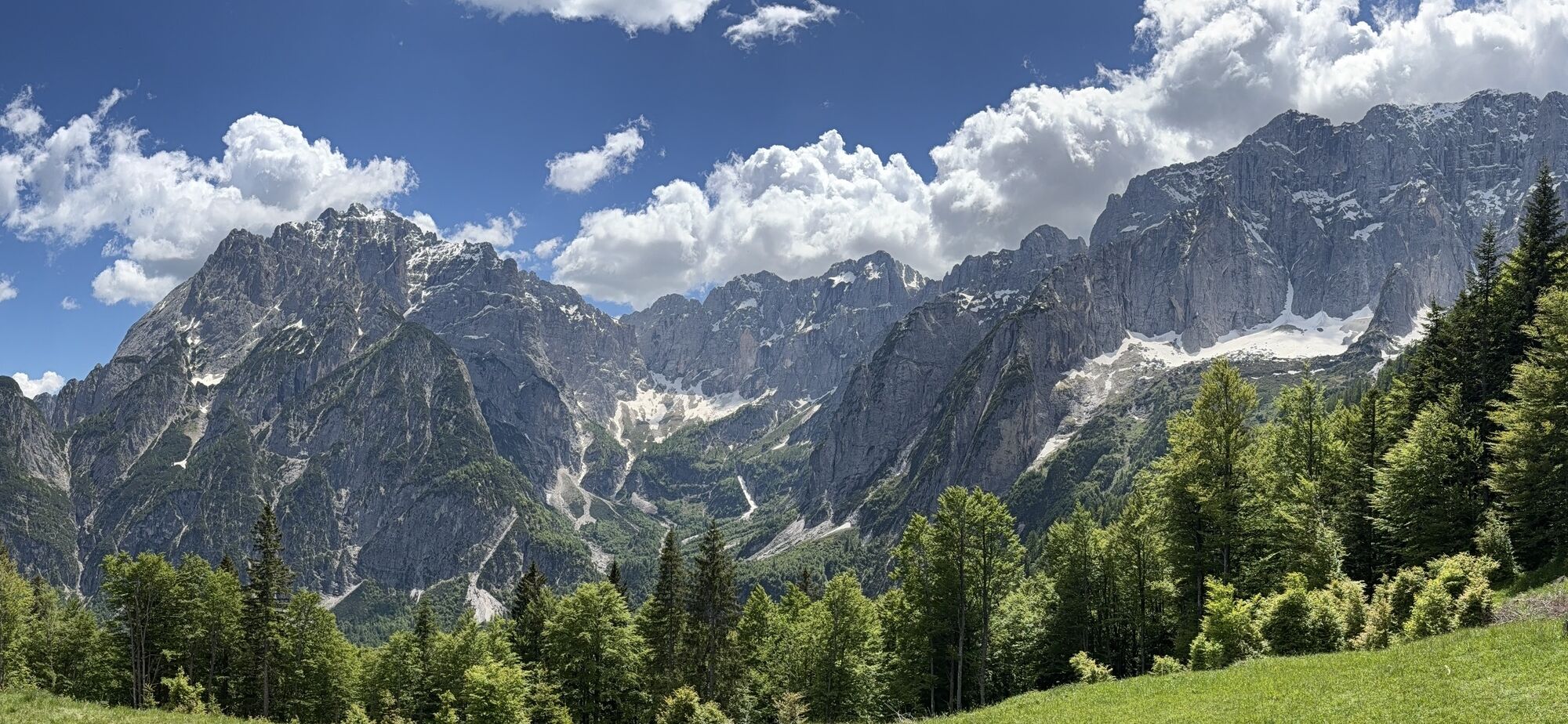
From near the Malga Saisera parking (paid in the summer period) circle around the small chapel dedicated to the memory of a local young woman, Laura Florit, and take the trail marked Cai 611 which climbs directly towards a wooded ridge, almost on the edge of the Plania valley, dominated to the north by the wild Monte Nero and Strechizza and, further west, by the Jôf di Miezegnot, thus avoiding the many hairpin bends of the long forest track that gives access to the Fratelli Grego refuge (1389 m). The path goes among magnificent trees, especially beeches with knotted roots exposed by the many passages on the path and the Cai 611 marking is abandoned right behind the refuge, which deserves a stop to enjoy the beautiful view of Nabois and Spragna (1 hour). The walk is resumed now following the Cai 651 trail which climbs directly into the woods ignoring both the small road that goes right and the path that goes left and soon reaches the plateau where the small lake lies on its left bank. Proceeding southward the path that comes from the Sompdogna Saddle with Cai 610 marking is crossed and followed to the left, facing a steep stretch that climbs the northern slope of the Sompdogna and leads to a sort of suspended basin where other war barracks remain. Among dwarf pines and sparse larches the walk continues more gently now in view of the summit, topped by a summit cross, following a war mule track. The last part climbs again steeply towards the hilltop and the summit (1889 m, 2.30 hours), encountering other war posts and the small observation post of the 36th Field Artillery Regiment. From the summit the descent begins heading south and continuing on the same marked trail zigzagging through the thick dwarf pine until reaching Foran de la Grave where the intersection with the trail marked 652 is reached, which is followed left continuing to ascend. At 1609 meters a trail bends sharply to the left where a trail with white and red markings descends to the Fossa di Carnizza. Less experienced hikers can instead follow, as an alternative to this less easy trail, the main one that descends traversing to 1400 meters, from where the trail marked 611 starts, which descends to the bottom of the Fossa di Carnizza. From here you can choose to continue along the 611 carefully re-entering the woods, with some steep stretches, to the Grego Refuge and from there to the car. Or you can take the trail marked Cai 639 that runs along the left side of the Fossa di Carnizza with some crossings of gravel deposits. Paying attention not to lose the track in the woods and the white and red markings, with stretches on steep slopes, you reach the final stretch of a forest track at about one thousand meters. Follow it until intersecting the large bed of the Saisera Stream and the trail marked Cai 616 which is followed left, regaining, after about one kilometer, the parking lot where the car was left. (4.30 hours).

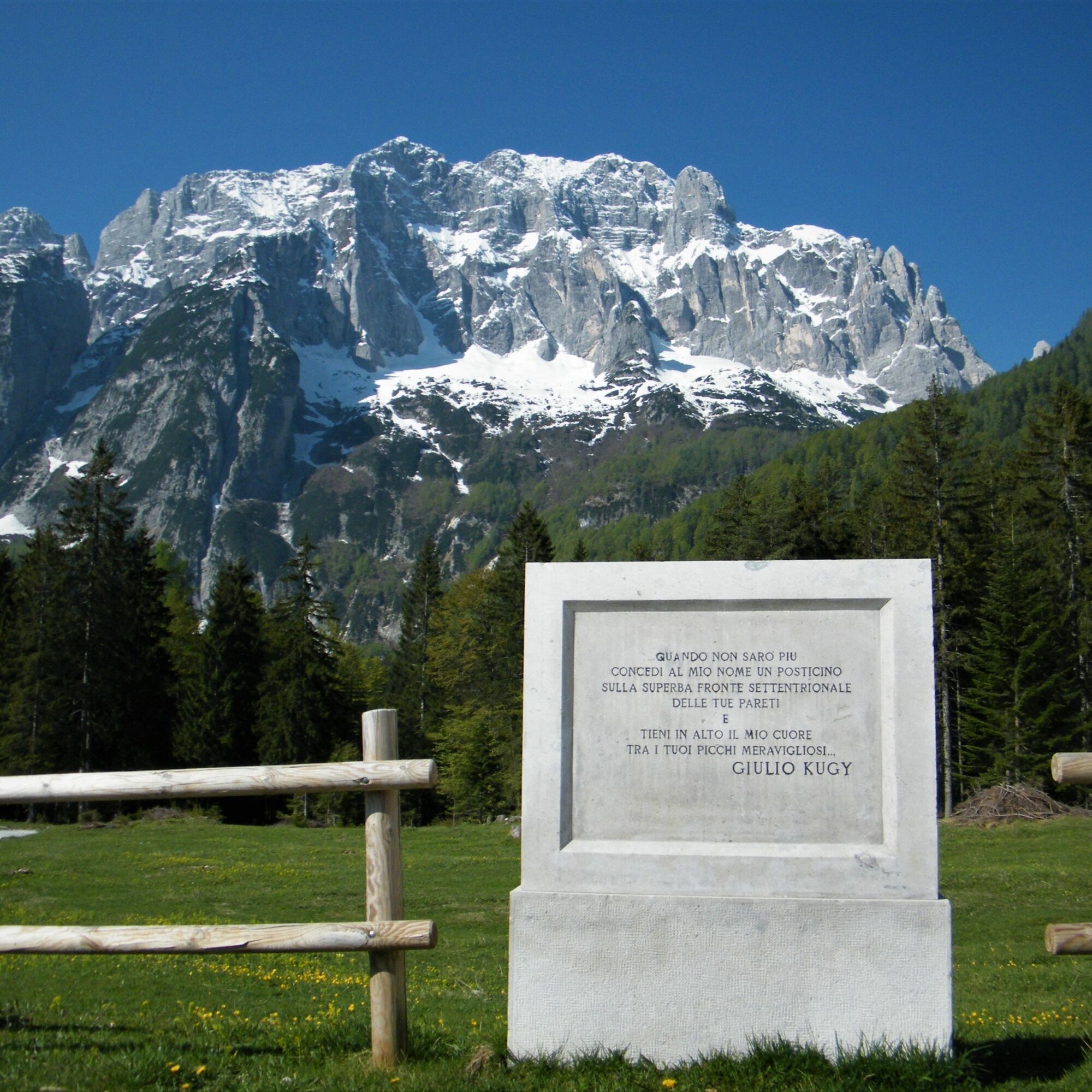
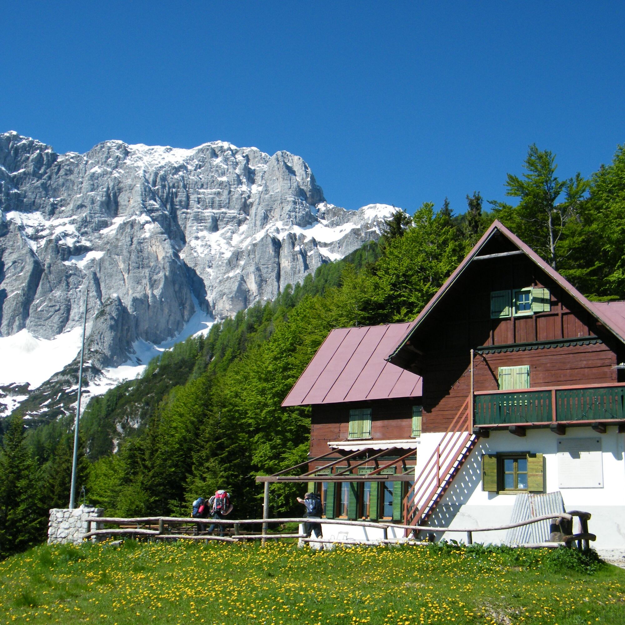

Tak
From Valbruna take the road that enters the Val Saisera and follow it until its end. Large parking available. Toll road during the summer and winter seasons.
Large parking area at the starting point.
Near the parking lot, just before the bridge, there is a fountain (the only water supply point besides the refuge).

Kamery internetowe z trasy


Popularne wycieczki w okolicy
-
4,8
Tarvisio - Venzone (C101)
średniKolarstwo długodystansowe 64,7 km -
4,9
Orrido dello Slizza, Tarvisio, Italië
światłoWędrówka 2,65 km -
4,5
Monte Lussari
średniWycieczka narciarska 10,7 km -
4,5
Monte Lussari über den alten Pilgerweg
średniWędrówka 6,43 km -
4,4
Cima di Terra Rossa
Wędrówka 4,90 km -
4,2
Monte Santo di Lussari, Skitour, Pilgerweg
średniWycieczka narciarska 9,35 km -
4,2
Jof di Miezegnot 2087m (Malborgether Mittagskofel)
Wędrówka 9,90 km -
4,7
Poludnig - der Fast-Zweitausender hihi
średniWędrówka 12,4 km -
5,0
Drei Gipfel des Monte Nebria
średniWędrówka 7,72 km -
4,5
Cacciatore
światłoWycieczka narciarska 10,8 km

Wędrówki i tropienie


Nie przegap ofert i inspiracji na następne wakacje
Twój adres e-mail została dodana do listy mailingowej.





